Following my visit to the Carmel Caves at the Nachal Me’arot National Park, I got on a bus heading south and ended up – quite accidentally – at Tel Dor. I had intended to find my way to Cafarlet, an impressive Crusader castle on the side of the Coastal Road (Road 4) but, alas, I overshot and found myself looking at the hilltop ruins of Tel Dor from across a picturesque little bay some 30 kilometres south of Haifa.
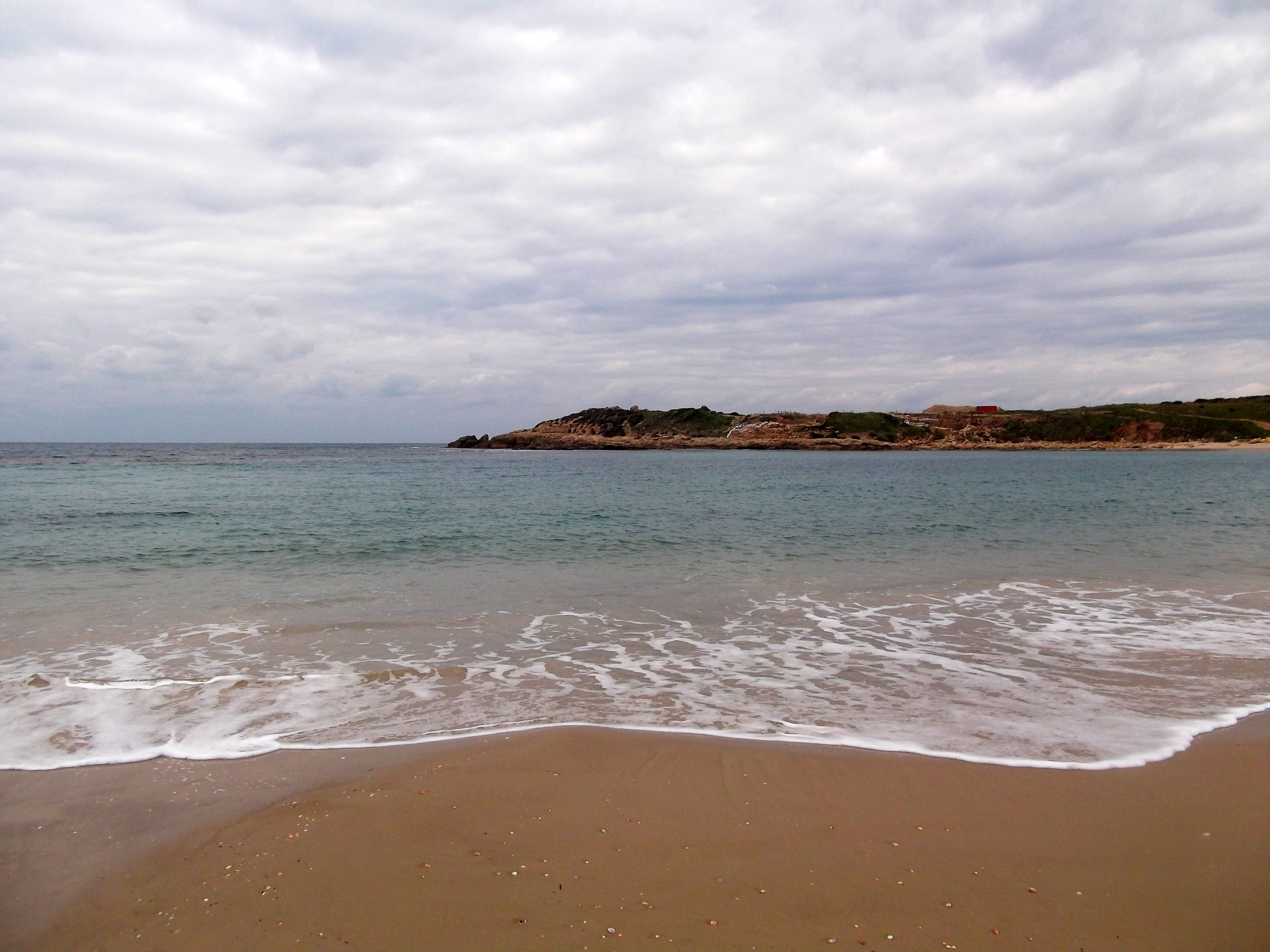
Tel Dor from across the bay
Set in such a beautiful place, nestled between tall coastal grass and the relatively calm Mediterranean Sea, the sun played a frustrating game of hide-and-seek as I toured the archaeological site. Climbing up the tel, I came upon the hilltop remains of the storehouses and public buildings which serviced the port, and the acropolis.
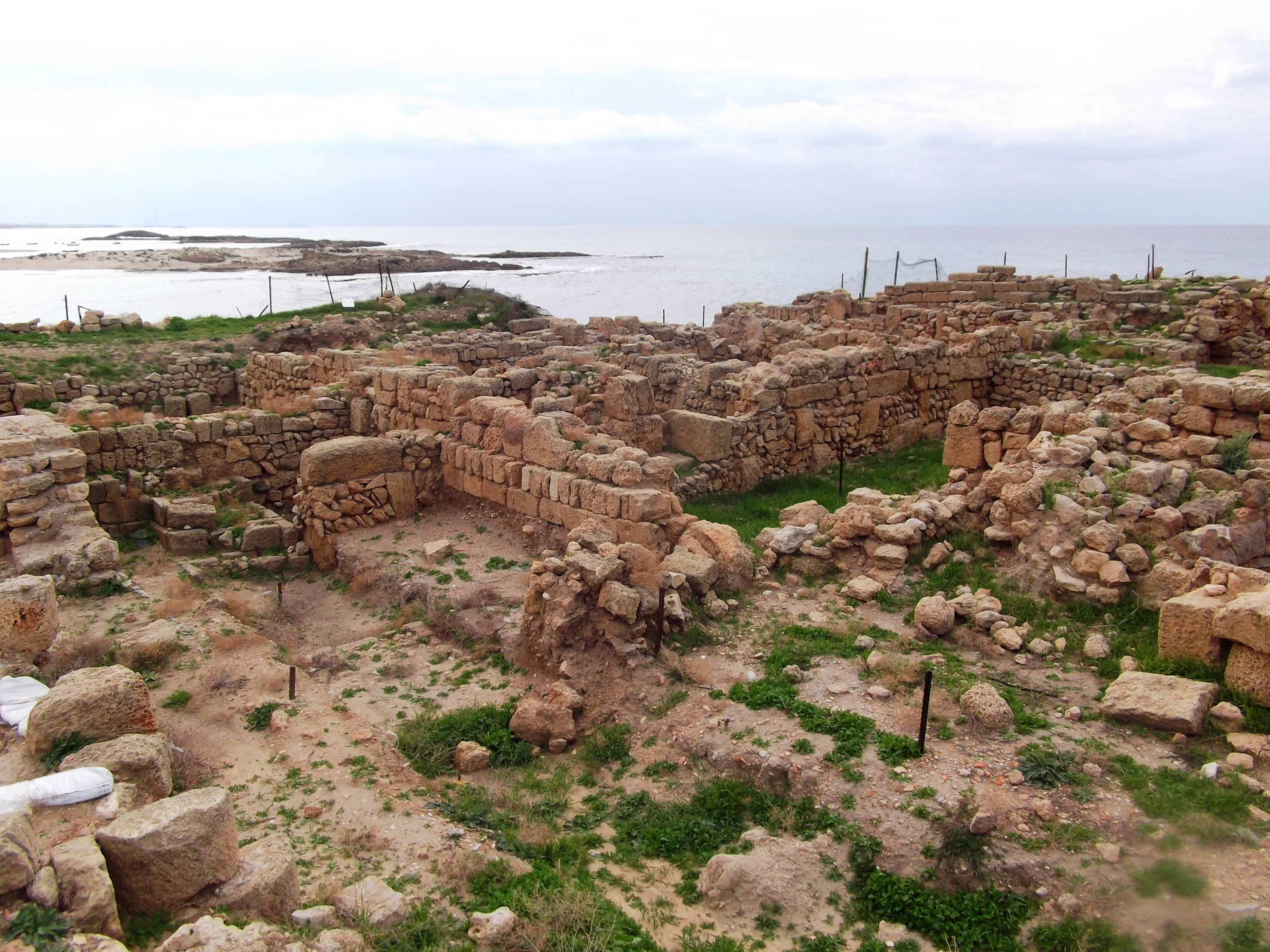
Tel Dor ruins
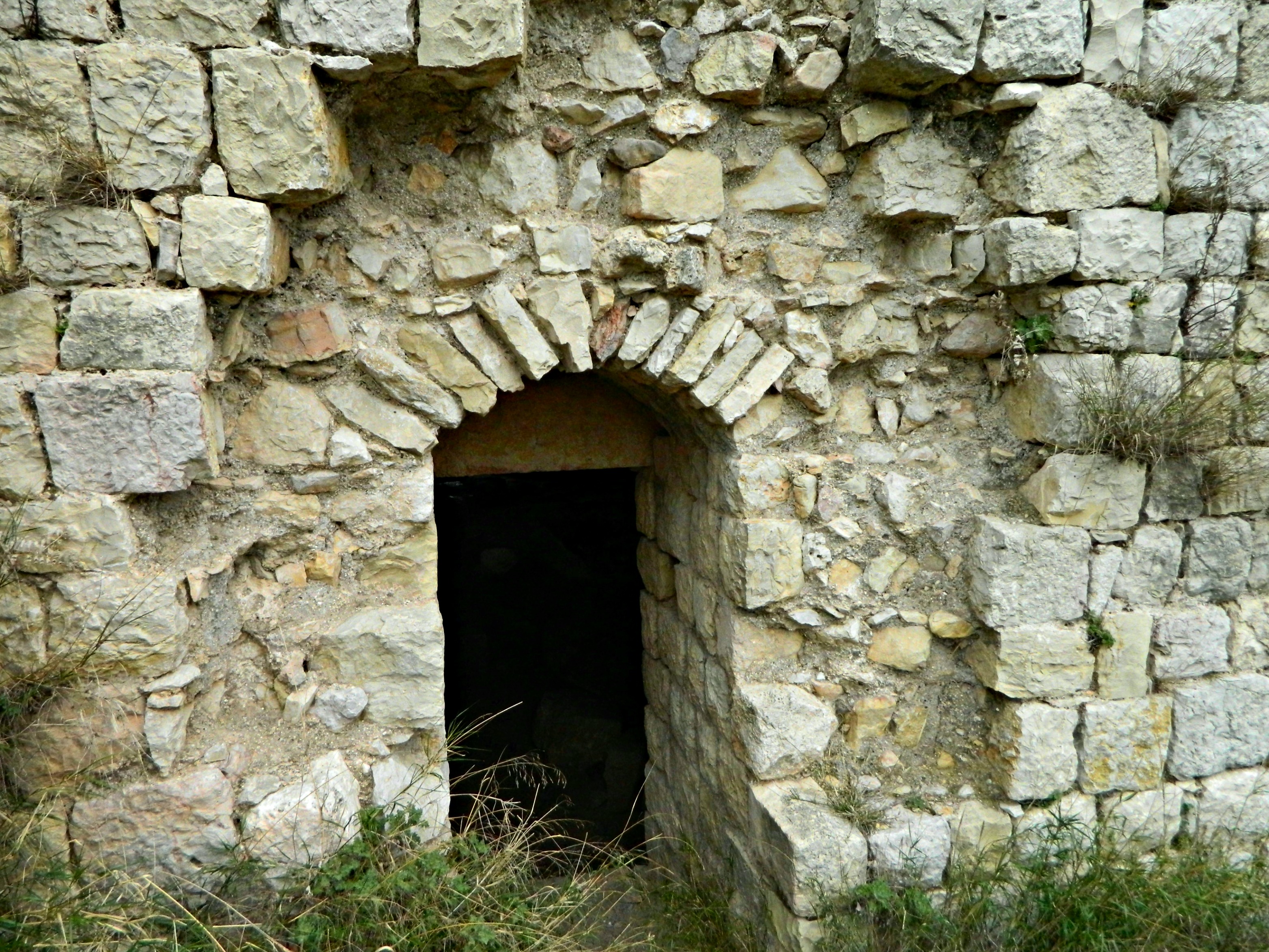
Continuing to the end of the small peninsula, I came upon the meagre remains of a small Crusader stronghold, the Merle Castle, built and owned by the de Merle family of French nobility. In 1187, Merle Castle was conquered by Saladin and by the end of the century, the Templars took command of the stronghold.

Merle Castle remains
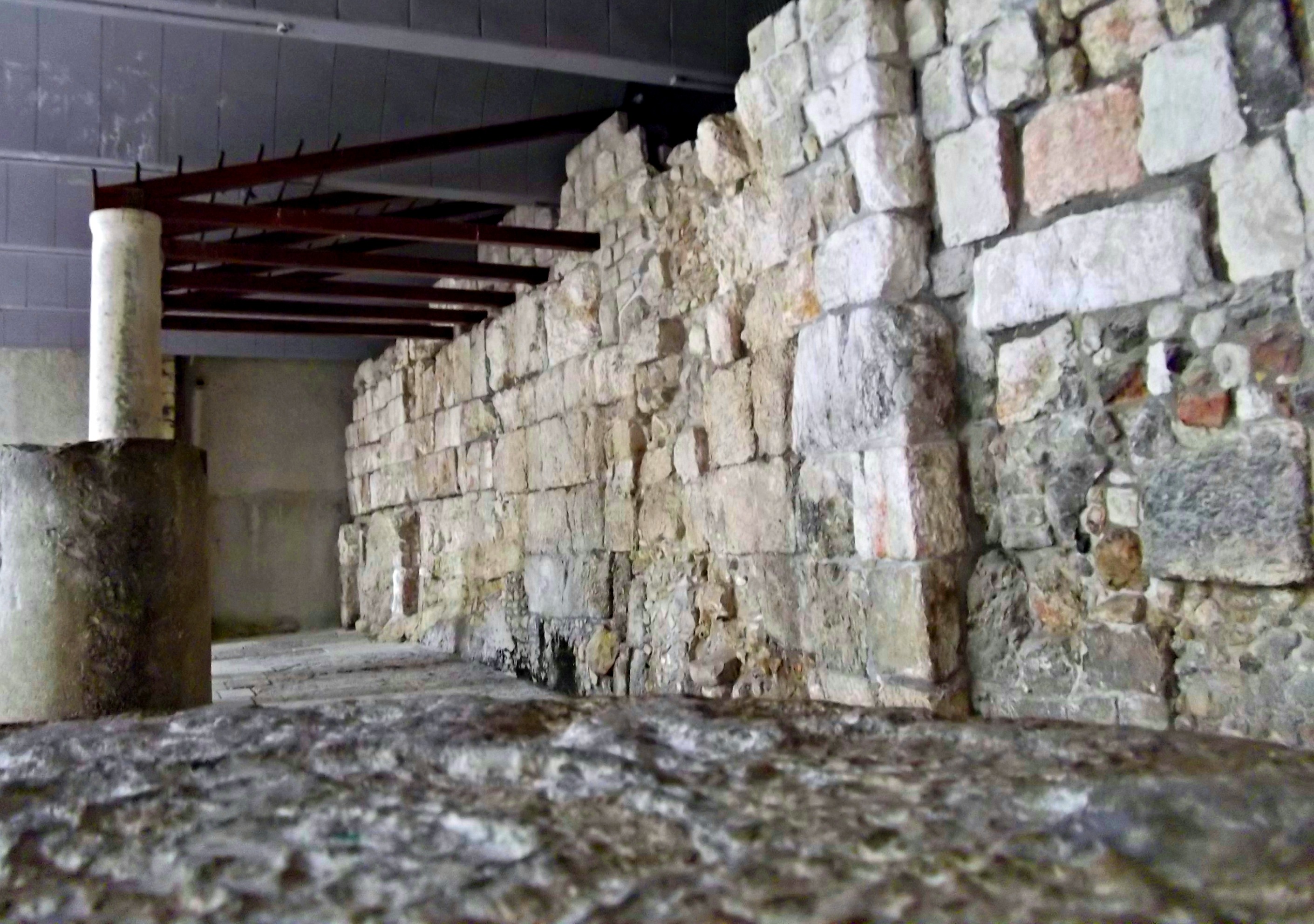
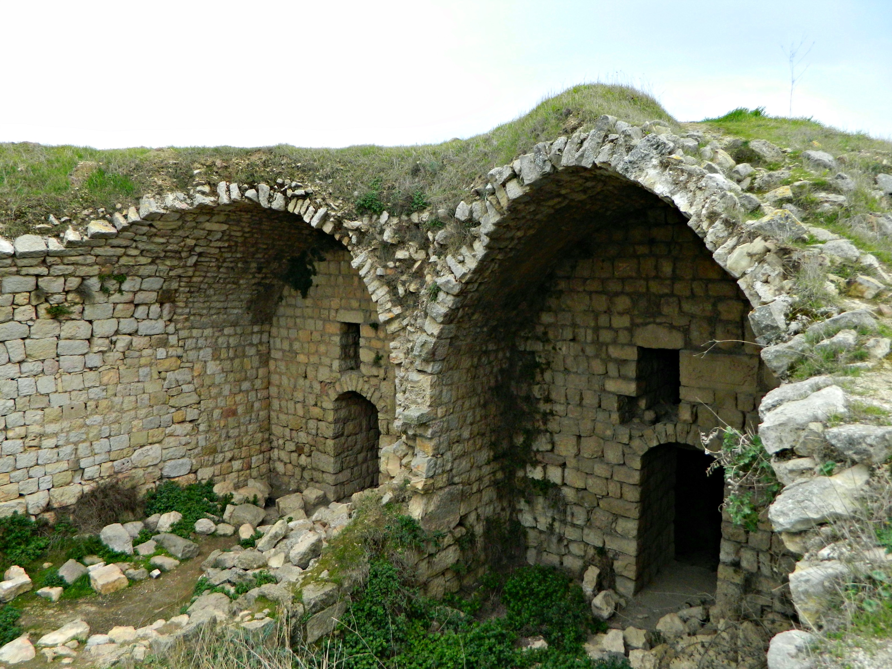
While the castle ruins are few and far between, there are fascinating rock-cuttings in the bedrock near sea level. Here, a chamber is carved into the porous rock, with several curious entry points:

A chamber cut into the rock
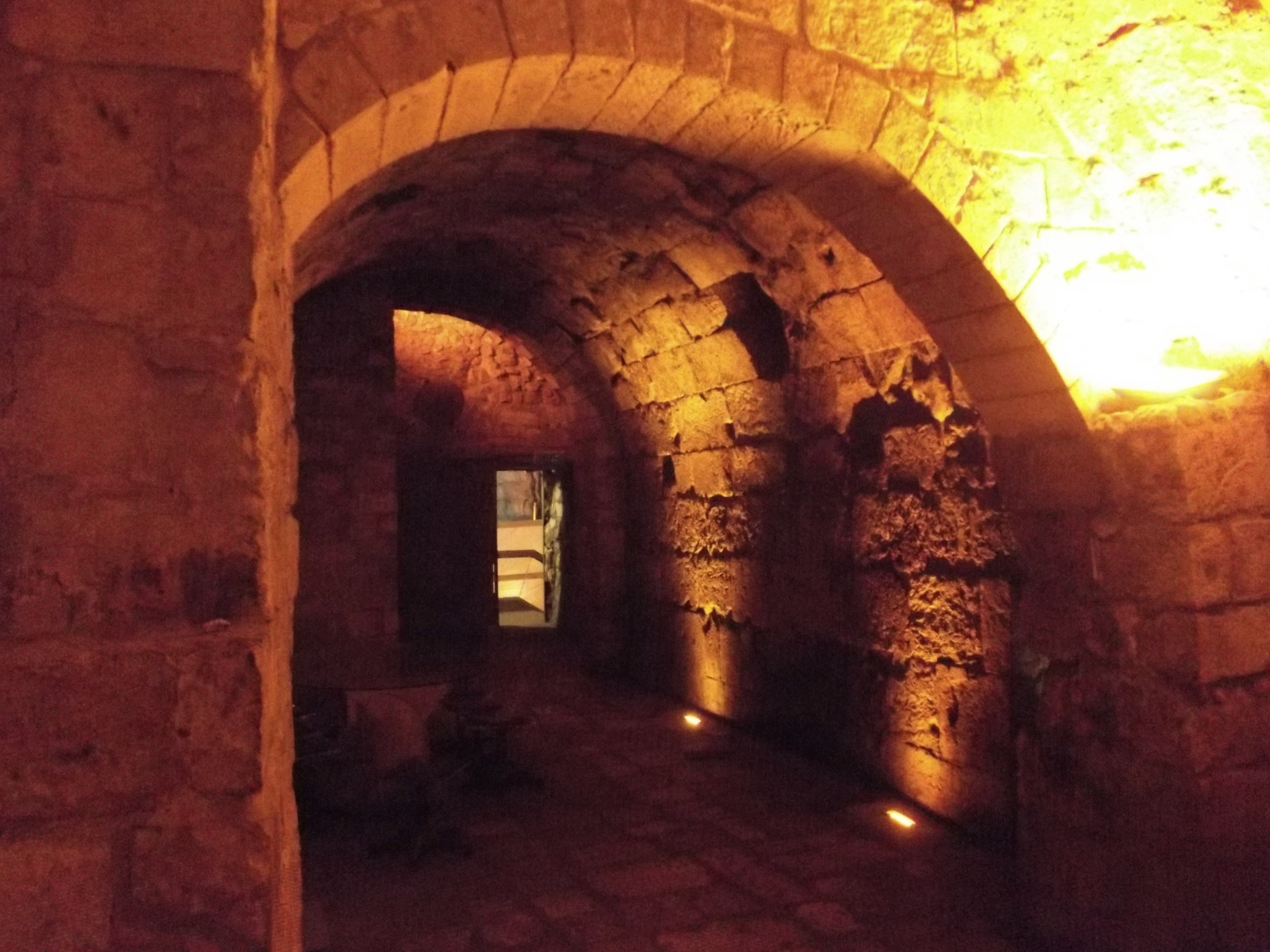
And at the far end, where rock and water clash in the harbour area, there are numerous interesting cuttings made, some underwater even. Deep troughs, large squares and more gouged out of the rock, used perhaps by the Athenians as their important port city in the Levant.

Cut rock in the harbour area
After a little snack I turned back to the ruins, looking down at the remains of a large Roman temple which sat at the water’s edge. The Romans built up Dor, or Dora as they called the place (i.e. Doric columns), by Pompey’s lieutenant Gabinus, creating an autonomous port city similar to Gaza and Yafo (Joppa) in those times.

The Roman temple
When rule was transferred over to King Herod some 2,050 years ago, Dor became overshadowed by neighbouring Caesarea whose harbour was deeper and thereby a better choice for a port. By then Dor became a less important regional city and, excluding the Crusader stronghold and the site of French emperor Napoleon’s camp after retreating from their 30-day siege on Akko in 1799, became a place of the past.
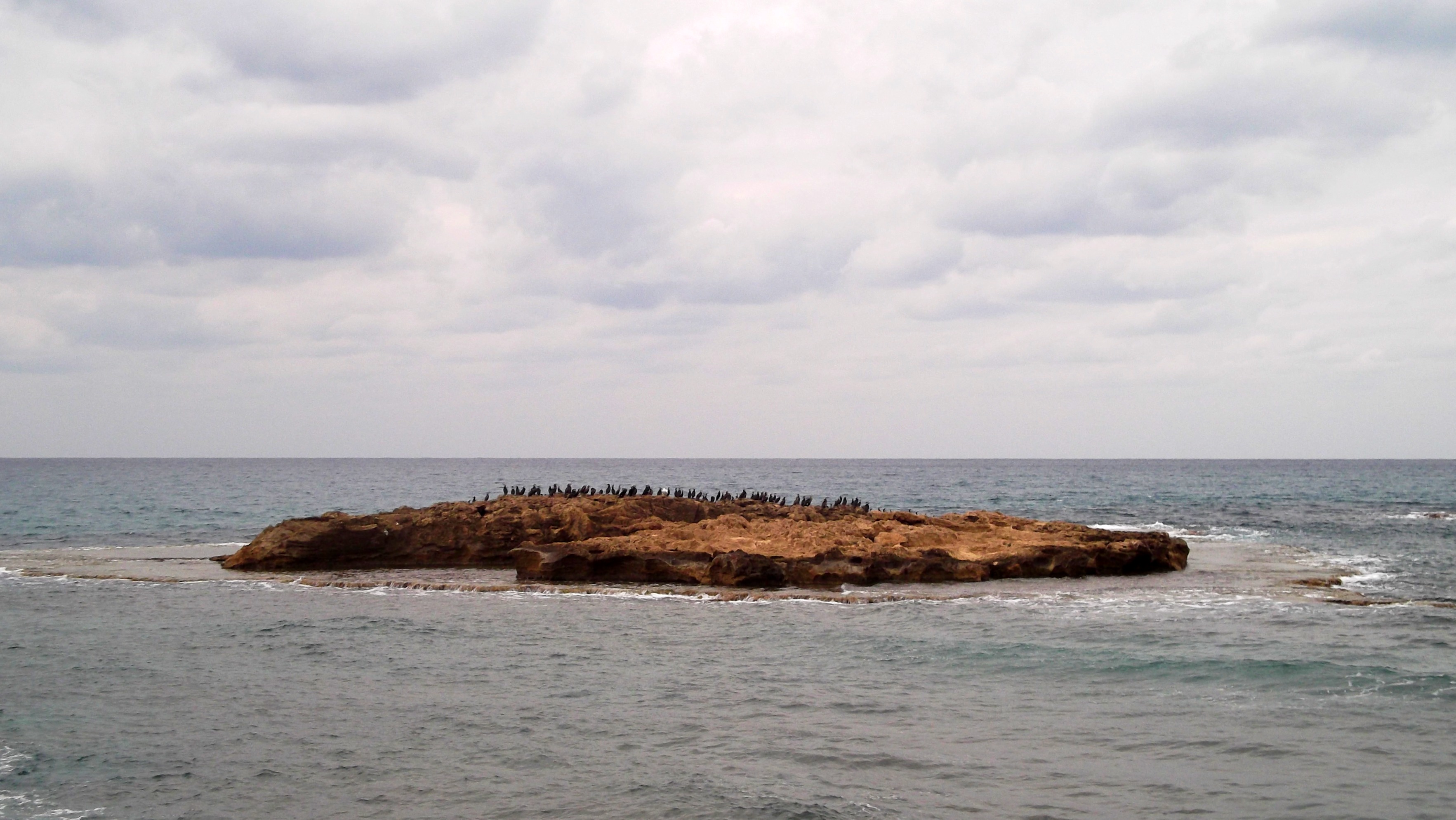
Shetafit Island flocked with seabirds
Walking along the coast, the ruins quite literally fallen into the water similar to the ruins of Ashkelon, I passed by the docks and the continuation of public buildings (such as a bathhouse). At the northern end of the site, climbing back up the tel, I retraced my steps and then walked south-east towards the scattered remains of the residential areas of Tel Dor.

Climbing back up the tel
Here is one section of residential area, perhaps from the Roman period:
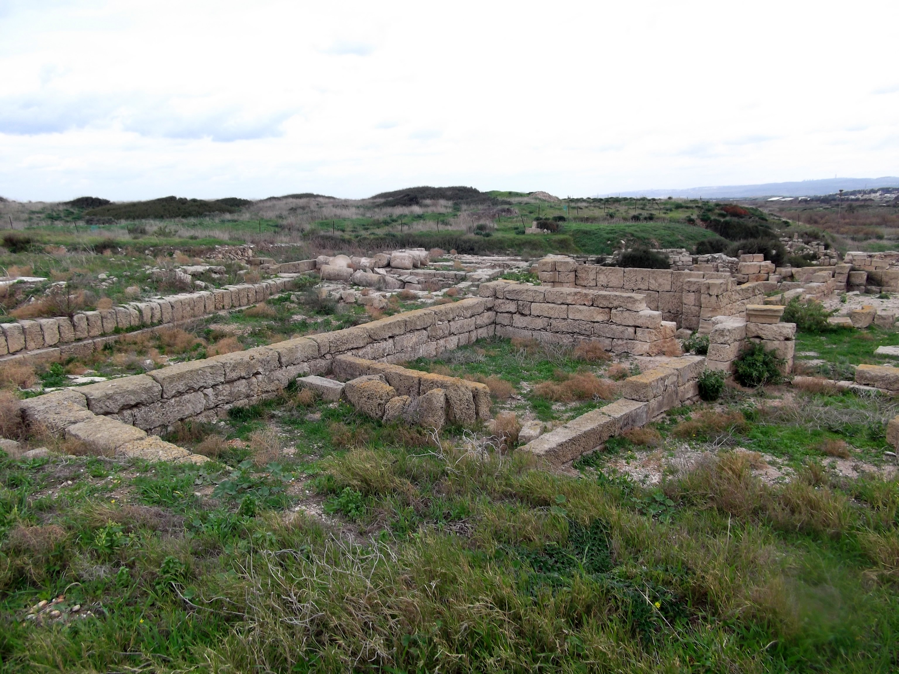
Residential area
Leaving the tel and pressing onwards, heading northbound for the Crusader fortress Cafarlet, or HaBonim. Walking through an abandoned basketball court adorned with graffiti I looked back at Tel Dor and noticed yet another residential area overgrown with vegetation.

Another residential area
Consulting Google Maps on my phone I attempted to navigate my way towards the railway tracks, and then the Coastal Road. However, after getting distracted by marsh-loving birds I found myself on the banks of a fish pond, a small lake. Wandering around the fish ponds and the semi-abandoned agricultural farms of Kibbutz Nachsholim, stopping to bond with some friendly donkeys, I eventually reached the railroad.
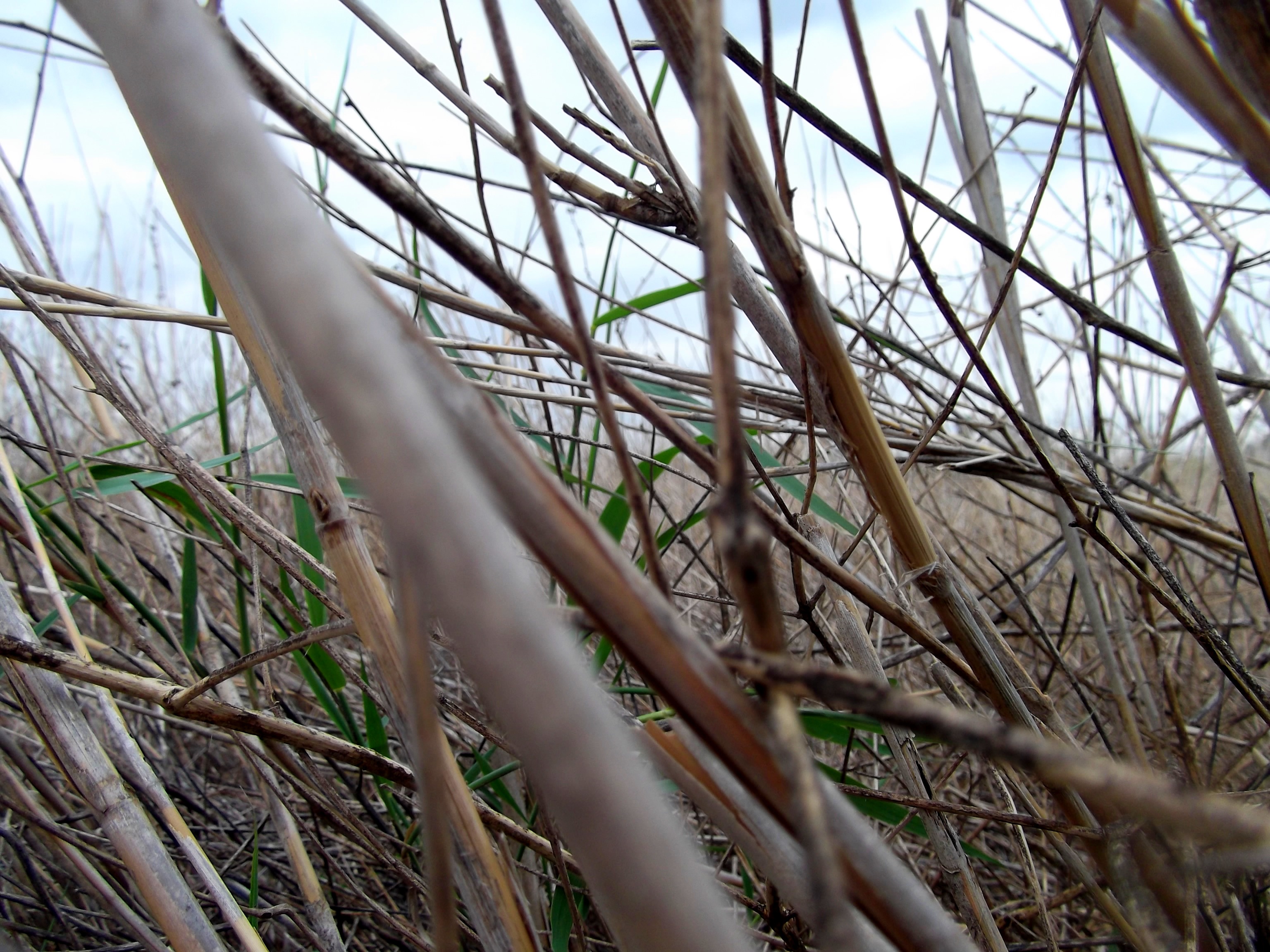
Walking through the reeds
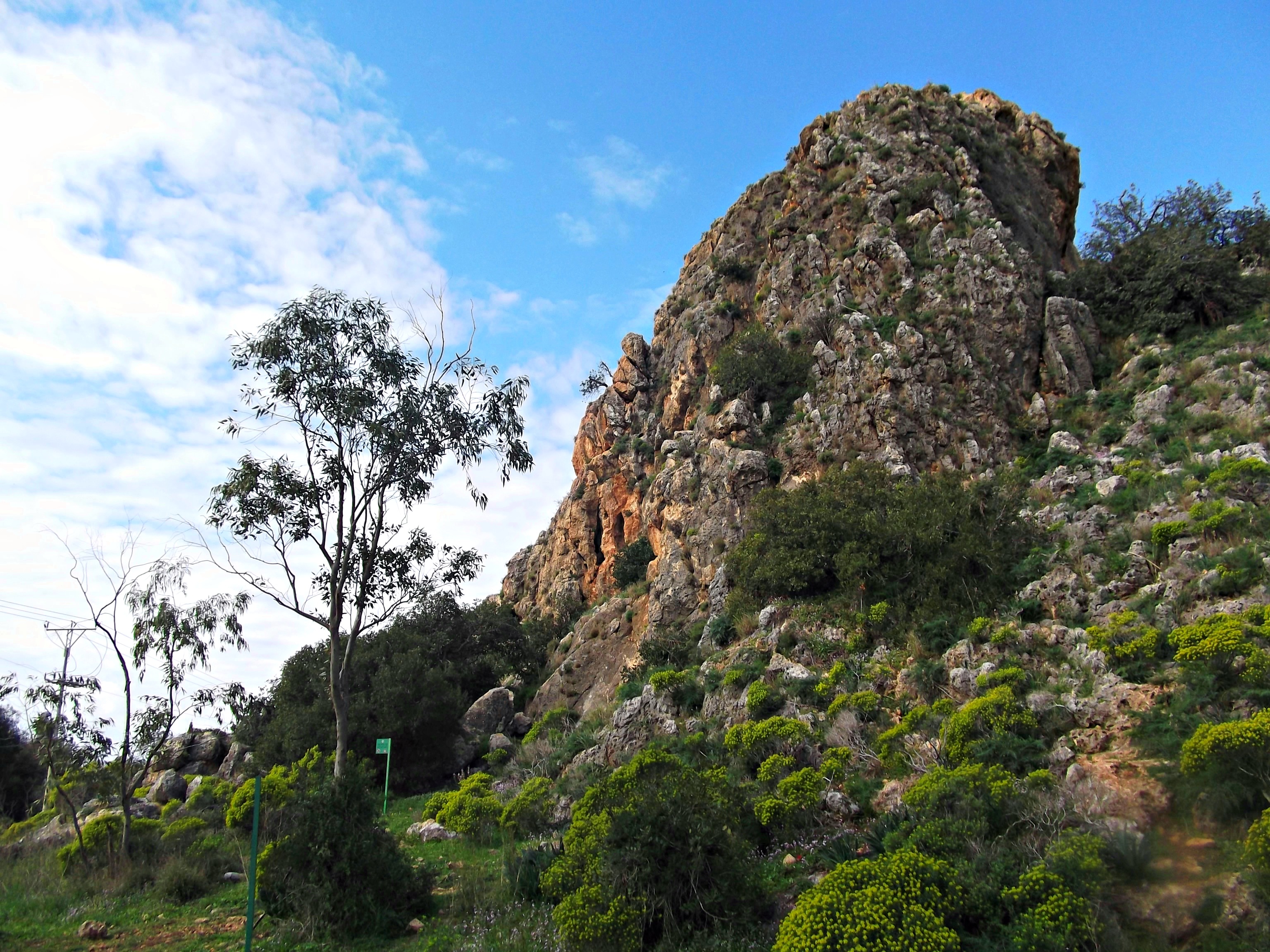
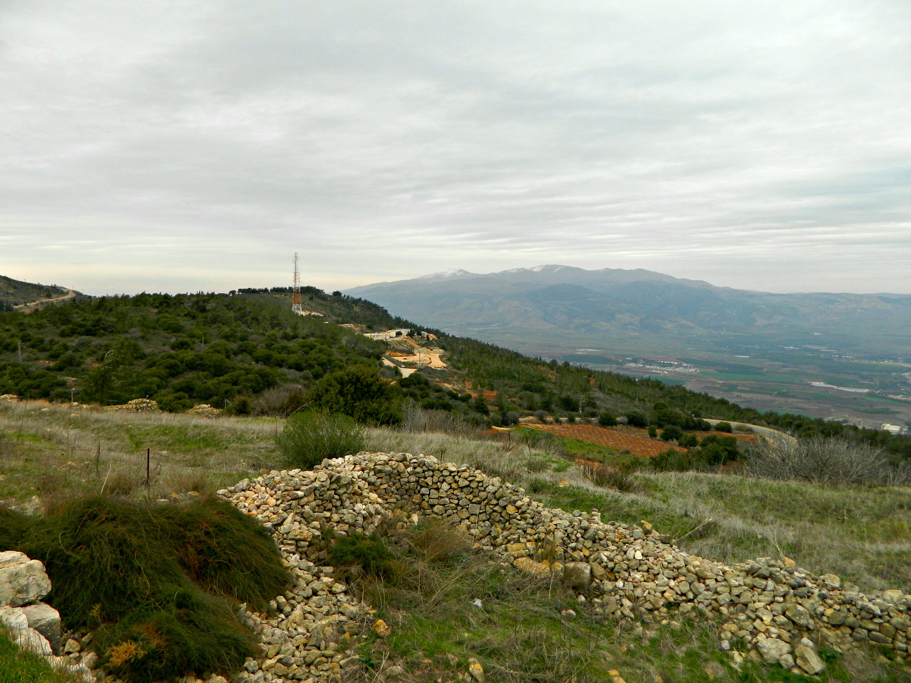
Climbing all over the rocky hill where the Coastal Road slices through towards Haifa, not entirely sure where I was to find the fortress, I kept walking and walking… Up next, Cafarlet.


