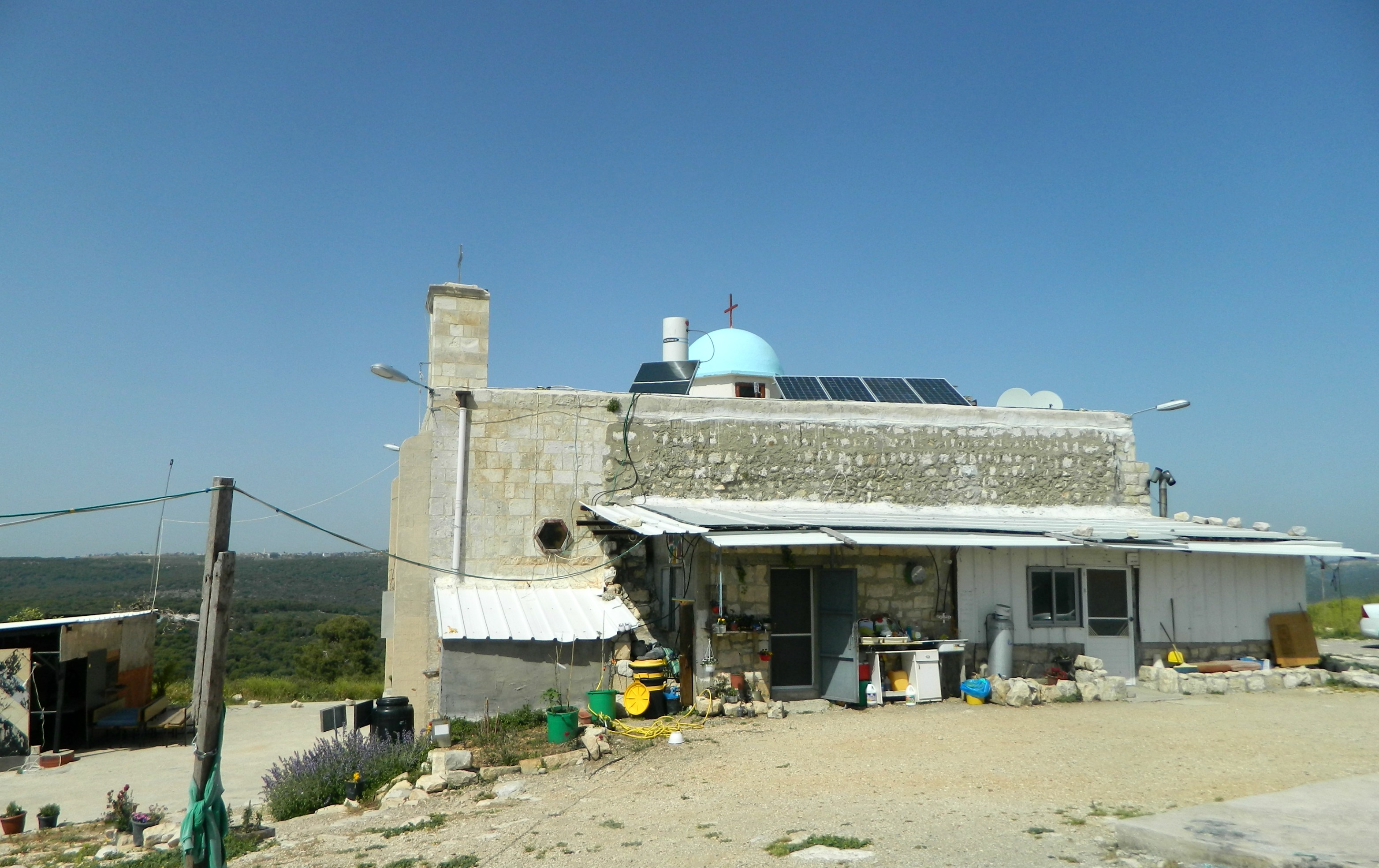
This past week I was released from the IDF after serving two and a half interesting years – but this post is not about that. Nearly a year ago I had the day off from my army duties, and to take advantage, my parents and I took a little drive over to the Jordan River, just a few minutes east of Tzfat and Rosh Pina. We pulled over just before the B’not Ya’akov (Daughters of Jacob) Bridge, a historically strategic crossing point between the Galilee and the Golan. Just a few feet before the sign welcoming drivers to the Golan, we turned onto a dirt road and parked just outside our destination: the Crusader fortress of Chastellet.

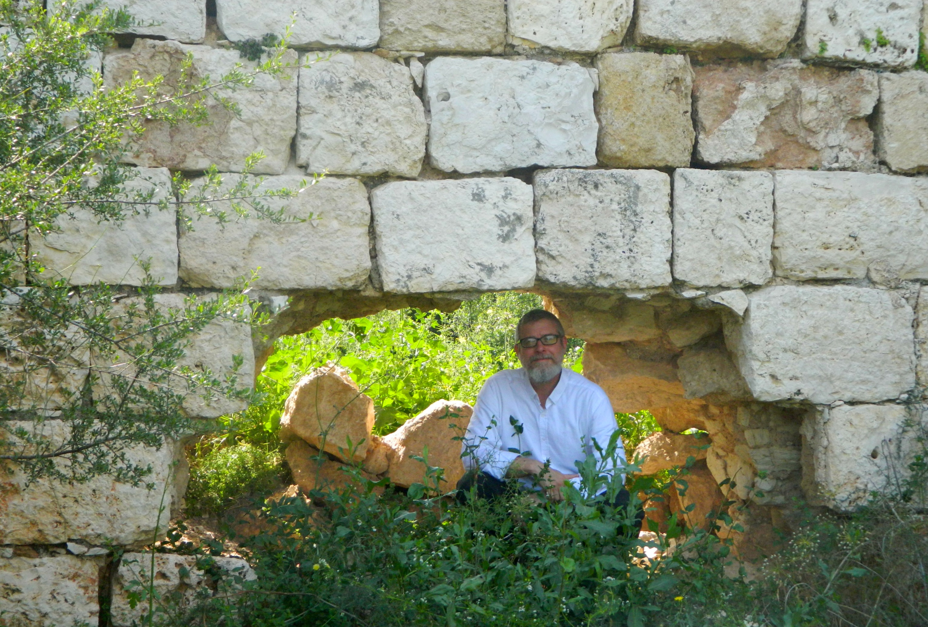
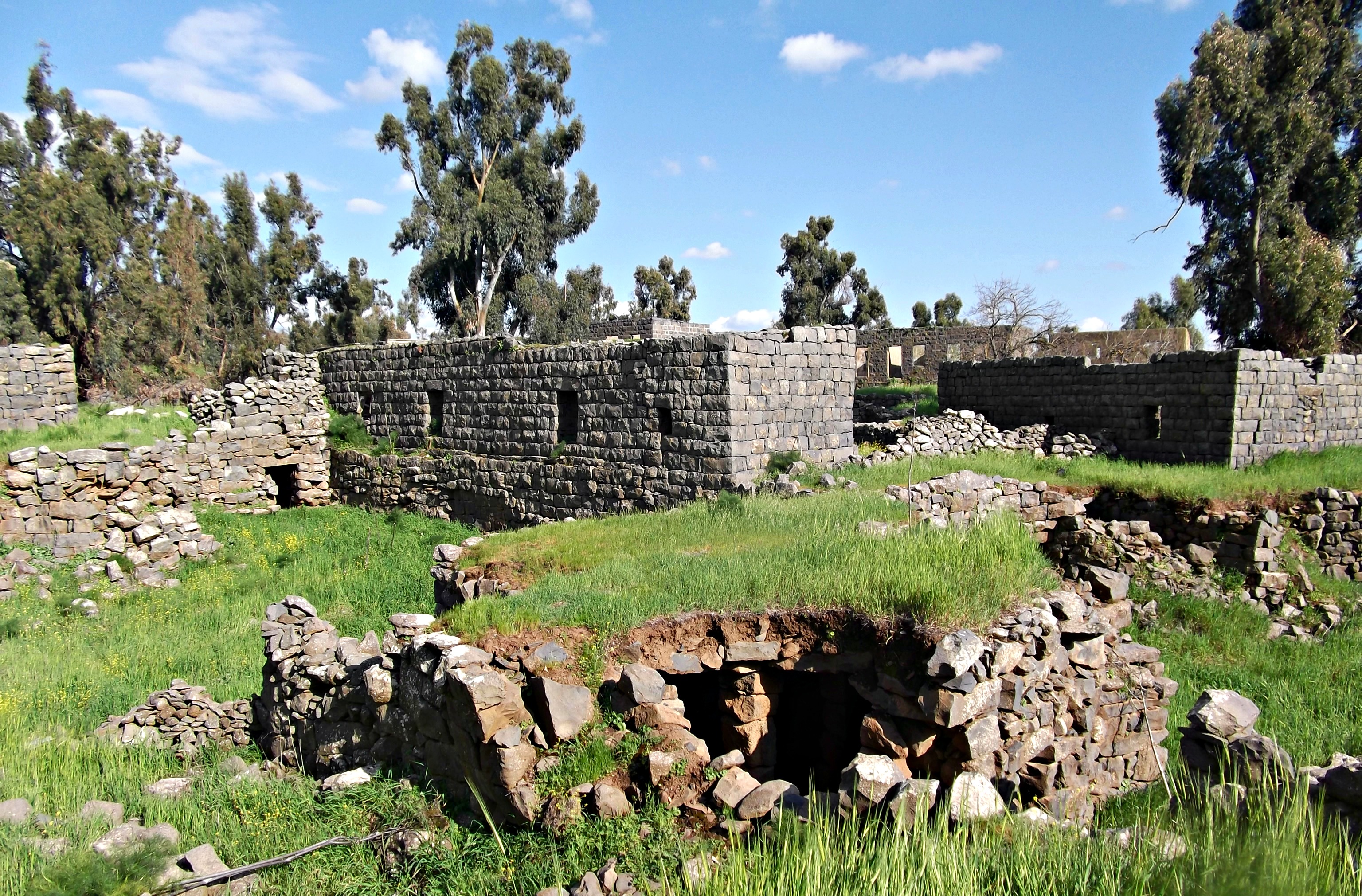
Chastellet’s northwestern wall
At the crossing point, also known as Jacob’s Ford (Vadum Iacob in Latin), a fortress was built in 1179 by the Crusaders under King Baldwin IV, the “Leper King”, to assert power over the region – preventing a Muslim invasion and putting pressure on the Ayyubid stronghold of Damascus. With such strategic importance attached to the project, the king moved his seat of government to the building site, his men working alongside the Templars.
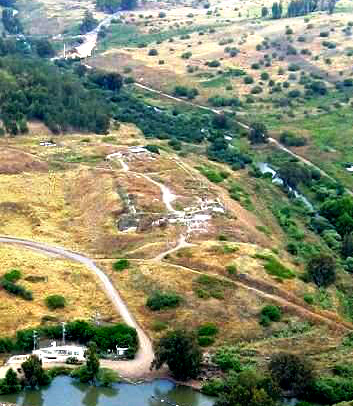
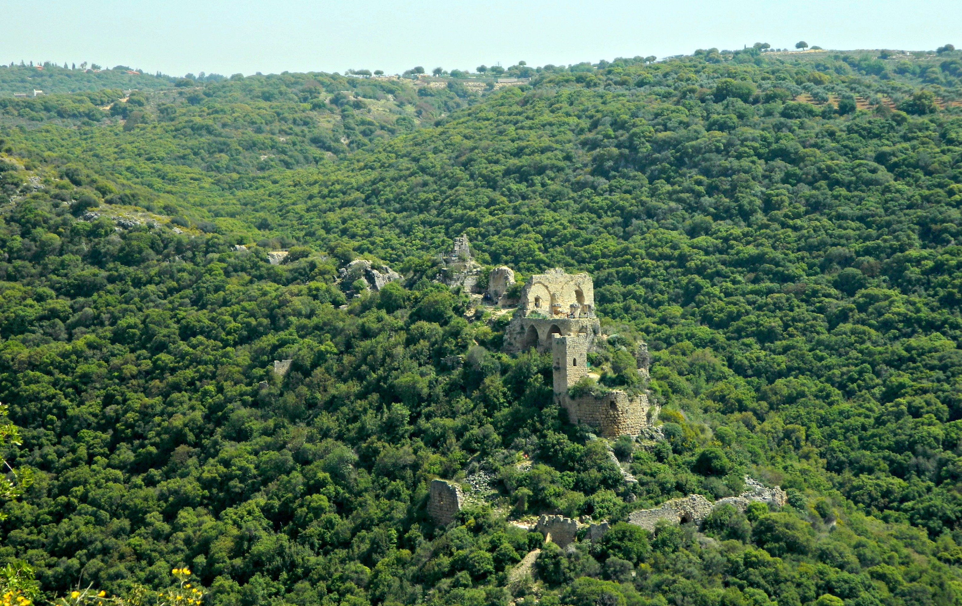
Chastellet from the sky (photo: Wikipedia)
Frantic at this regional game-changer, the Muslim sultan Saladin offered a bribe of 100,000 dinars for the Christians to abandon their efforts. When his bribe was refused, and the castle was already considered complete and in the hands of the Templars, Saladin gathered up a small army and began a siege of the newly-built Chastellet. The castle’s battle-hardened garrison fiercely defended their vantage point and the siege was called off when a knight named Rénier de Maron killed one of Saladin’s leading emirs with a well-aimed arrow.

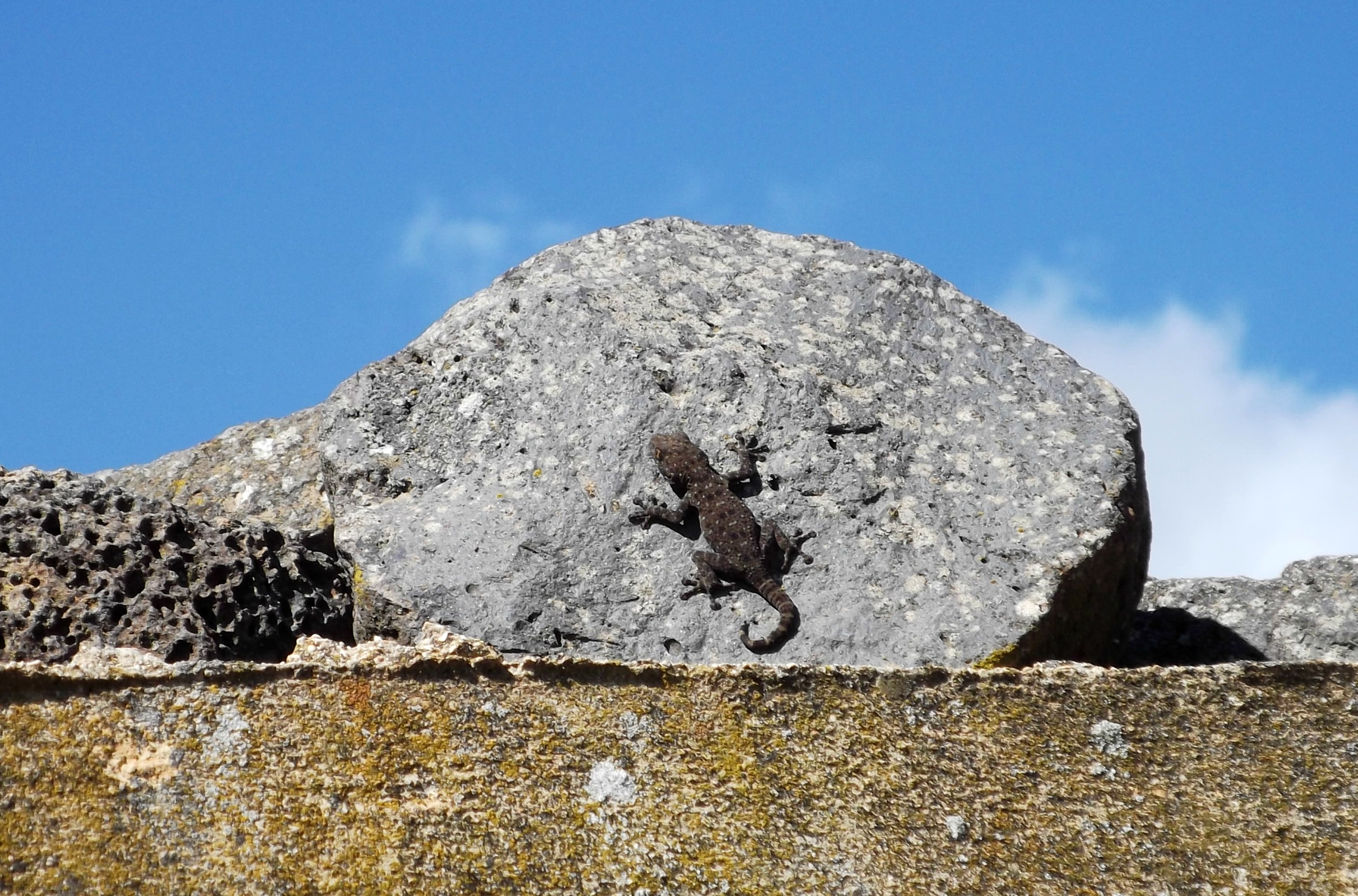
Grasshopper
Several months later, having defeated the Crusaders at Marjaayoun Valley in Lebanon (just north of Nachal Iyun), Saladin once again attacked Chastellet. Knowing that King Baldwin was camped not far away in Tiberias, Saladin decided to rush the castle, hoping to overrun it with his force superior in number. A vicious battle ensued and the Christians, numbering over 1,000, were ultimately defeated.

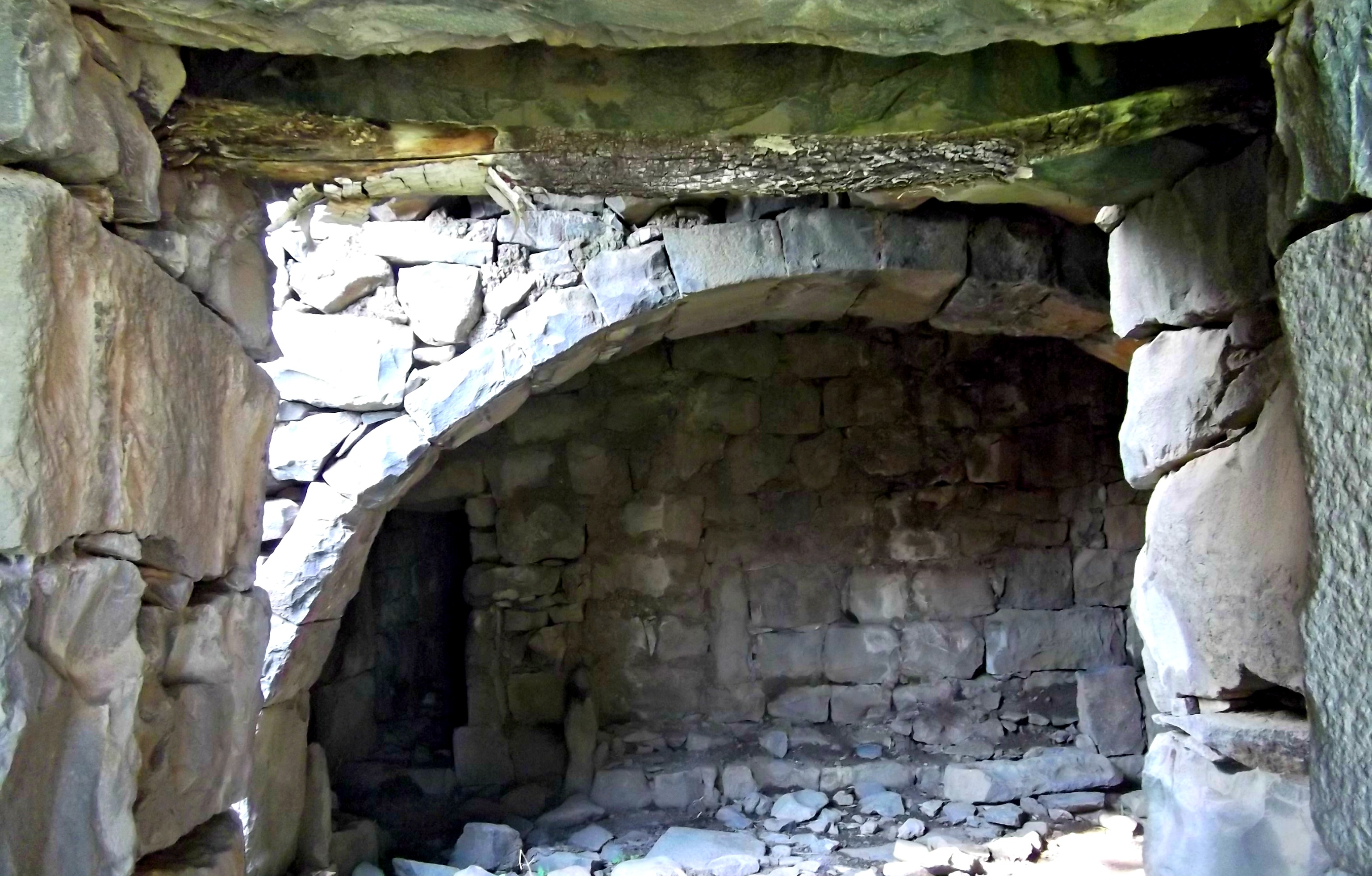
My mother posing at the castle’s western wall
While researching this castle online I came upon this reenactment of the bloody battle on the National Geographic channel: “Epic Battle”. After the victory, Saladin ordered that the walls be torn down and, to this day, the site was utterly abandoned and thereby well-preserved. Only earthquakes in 1202, 1759 and 1837 resulted in the meagre walls to be shifted in their places.

Earthquake-cracked walls
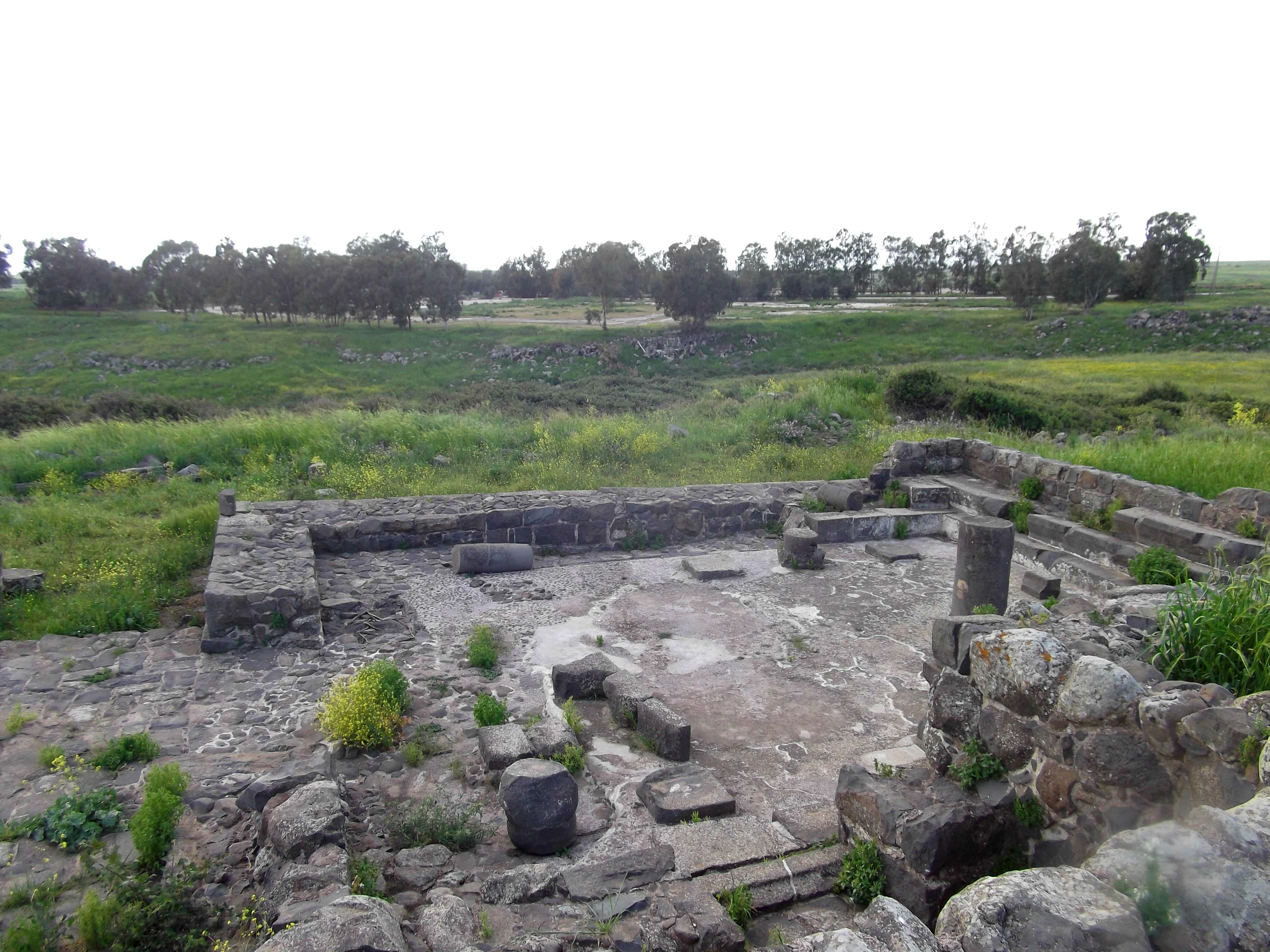
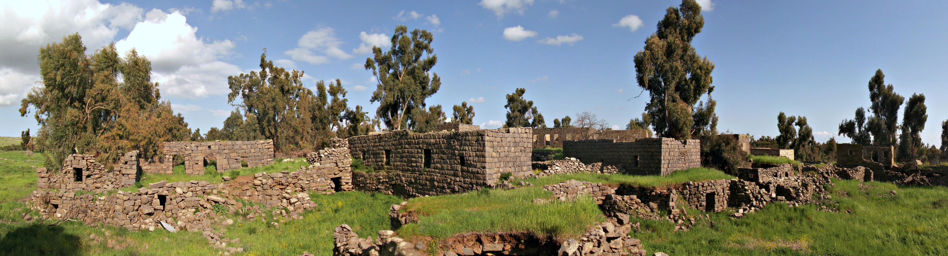
Archaeologists have uncovered full skeletons of fallen Crusaders and the castle’s water cistern is said to hold hundreds of dead Crusader corpses. When we visited we saw no skeletal hands reaching up through the dry dirt, but perhaps if we were to start digging, we would. Starting from the northwest corner we walked the rim of the castle ruins, pausing here and there to admire and photograph. When we finished looking at the castle, we headed down and had a brief staring contest with a particularly aggressive-looking cow and then walked down to the riverbank.

The Jordan River gently flowing by
We found a nice shaded spot to sit in the river, under Chastellet, and relaxed in the Jordan’s cold, watery embrace. As I saw in the Golan Archaeological Museum in Qatsrin, part of an elephant’s remains was unearthed not far from where we were – closer to the bridge and on the Golan side of the river. With that we dried off in the hot June sun and got back into the car for the drive back home.