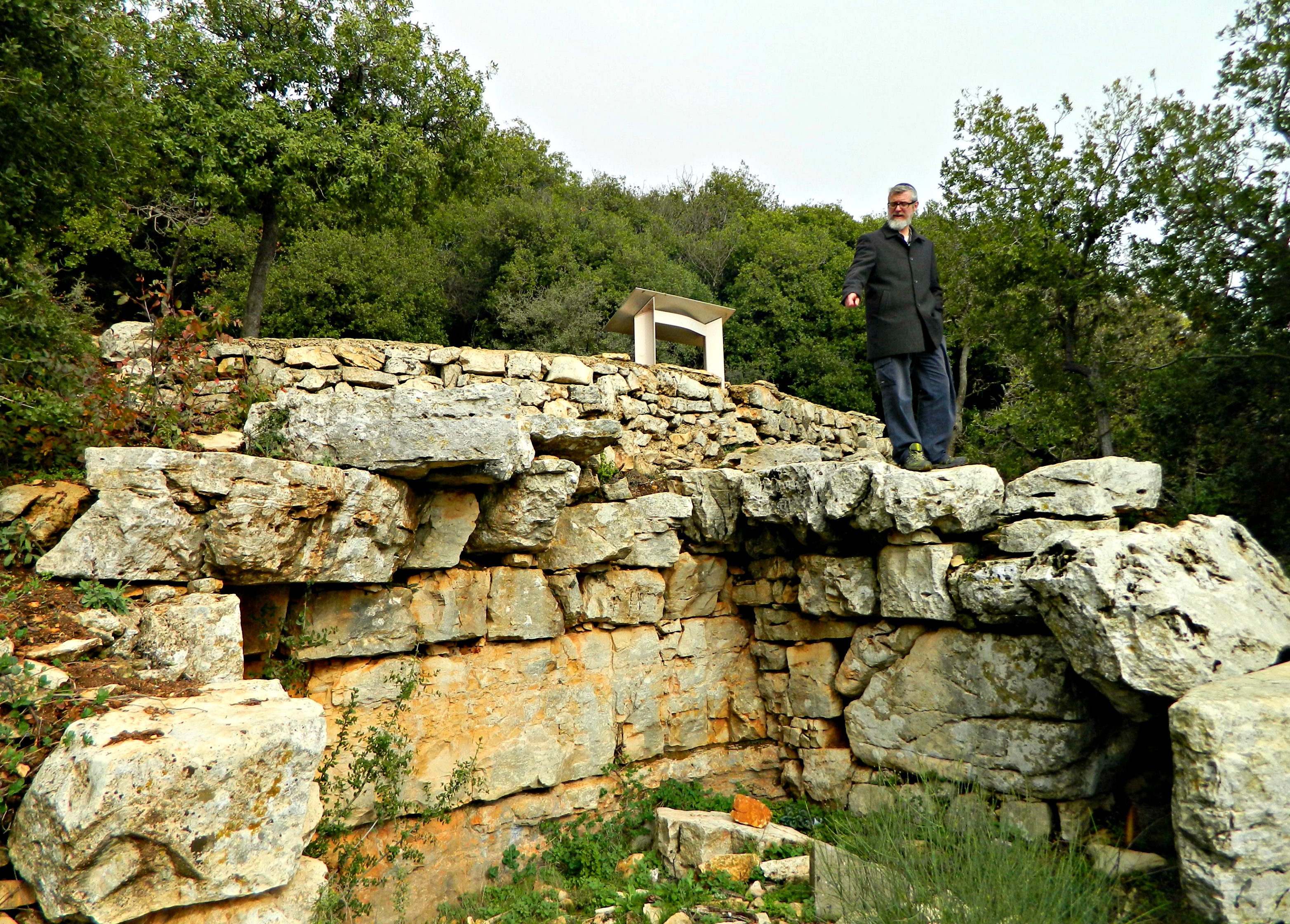
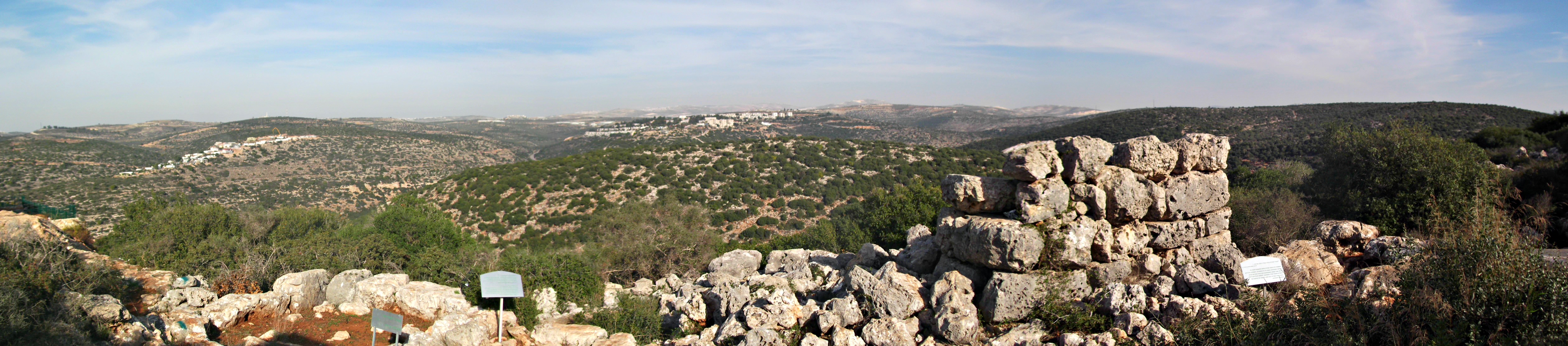
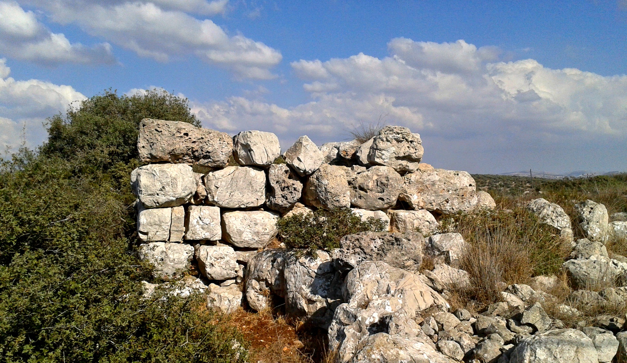
This past Tuesday my parents and I took a little drive over to the nearby Mount Meron, the highest peak in the Galilee, to hike the peak trail. Turning off Road 89 in the direction of the Meron Field School, we stopped to take a little look at the Hamama Ruins. These arched structures are from the Ottoman Period and can be found throughout the area. In fact, we passed one on the drive home and I know of another one at the access road to Nachal Kziv from Ma’alot’s Industrial Area.

Hamama Ruins
Mount Meron reaches up 1,208 metres (3,963 ft) in elevation, surrounded by smaller Galilean mountains, and actually affects the weather and rainfall. On the road up, we pulled over so that I could take a photo of the the mountain from a somewhat stately angle.

Mount Meron
We continued driving up until we reaches the peak parking lot and disembarked, ready to get our hike on. The first things we noticed was the nippy chill and the fact that we were standing inside a cloud. What looks like fog in this picture is actually a low cloud, and the interesting flora on the slope made for a unique vista.
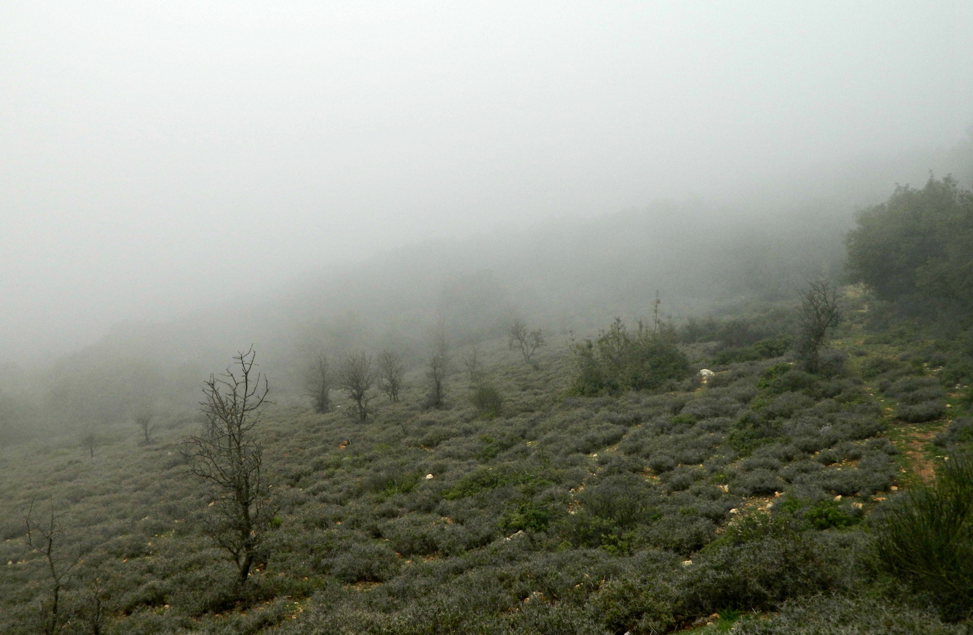
Cloudy mountain slope
Crossing the access road, we began the circular trail around the peak. There is a military base at the very peak and the trail wraps around it, marked as both the peak trail and the extensive Israel National Trail (which begins at Tel Dan and ends in Eilat, approximately 1,000 kilometres long). Thankfully, the peak trail is just a mild 2 kilometres long – perfect for families. Before long we reached the first observation point, looking out to the east. Although it was too cloudy to see anything, the sign mentioned that one can see Mount Hermon, Mount Bental, Safed as well as the Kinneret (Sea of Galilee) – pretty impressive.
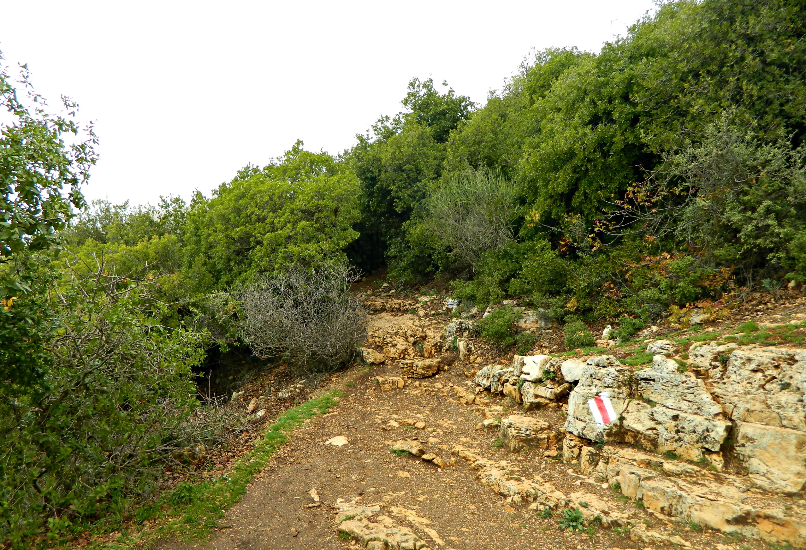
The trail continues…
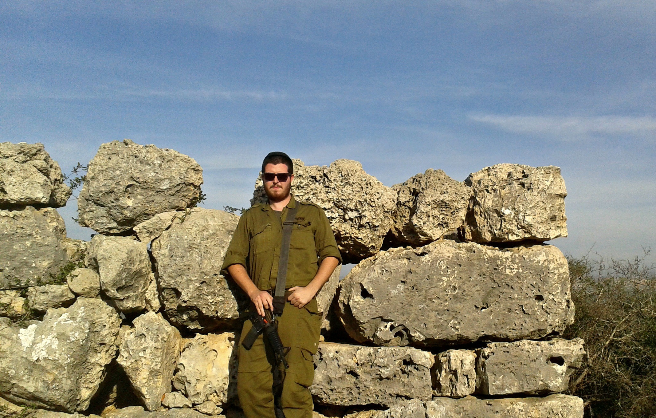
Continuing along, we ran into some soldiers doing camouflaged training or something, some very interesting plants and this cool-looking mossy tree:

Interesting moss growth
And looking even closer on a different branch, here is lichen and moss growing side-by-side, byproducts of the damp environment:
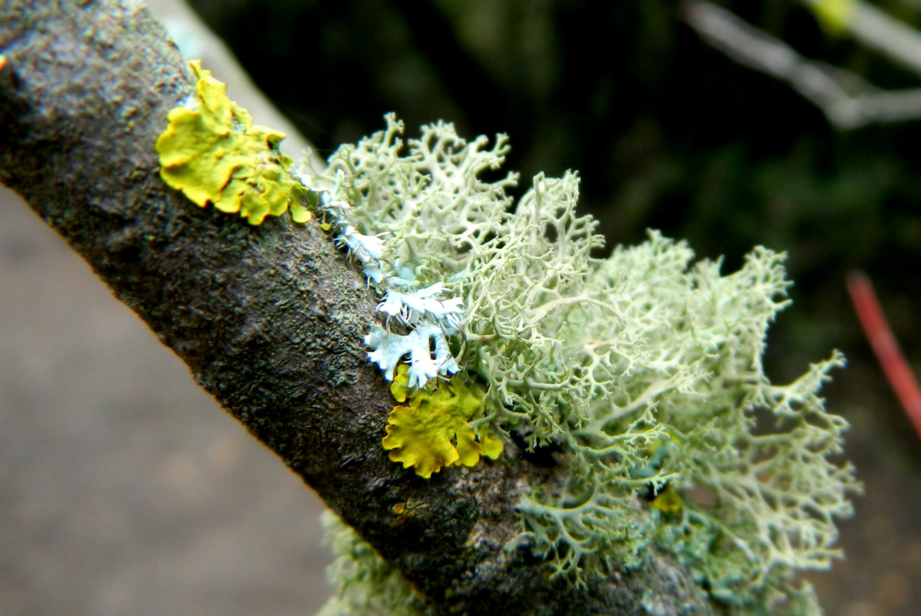
Lichen and moss
Next we reached the Lebanon Lookout with a view of Manara Cliff, Yir’on, Yesha Fortress and Lebanese towns of Bint Jbeil and Rmeish. The visibility from this observation point was remarkably better, although limited to just a few kilometres. What amazed me most was seeing the rolling clouds beneath us, similar to being on a plane and looking out the window.
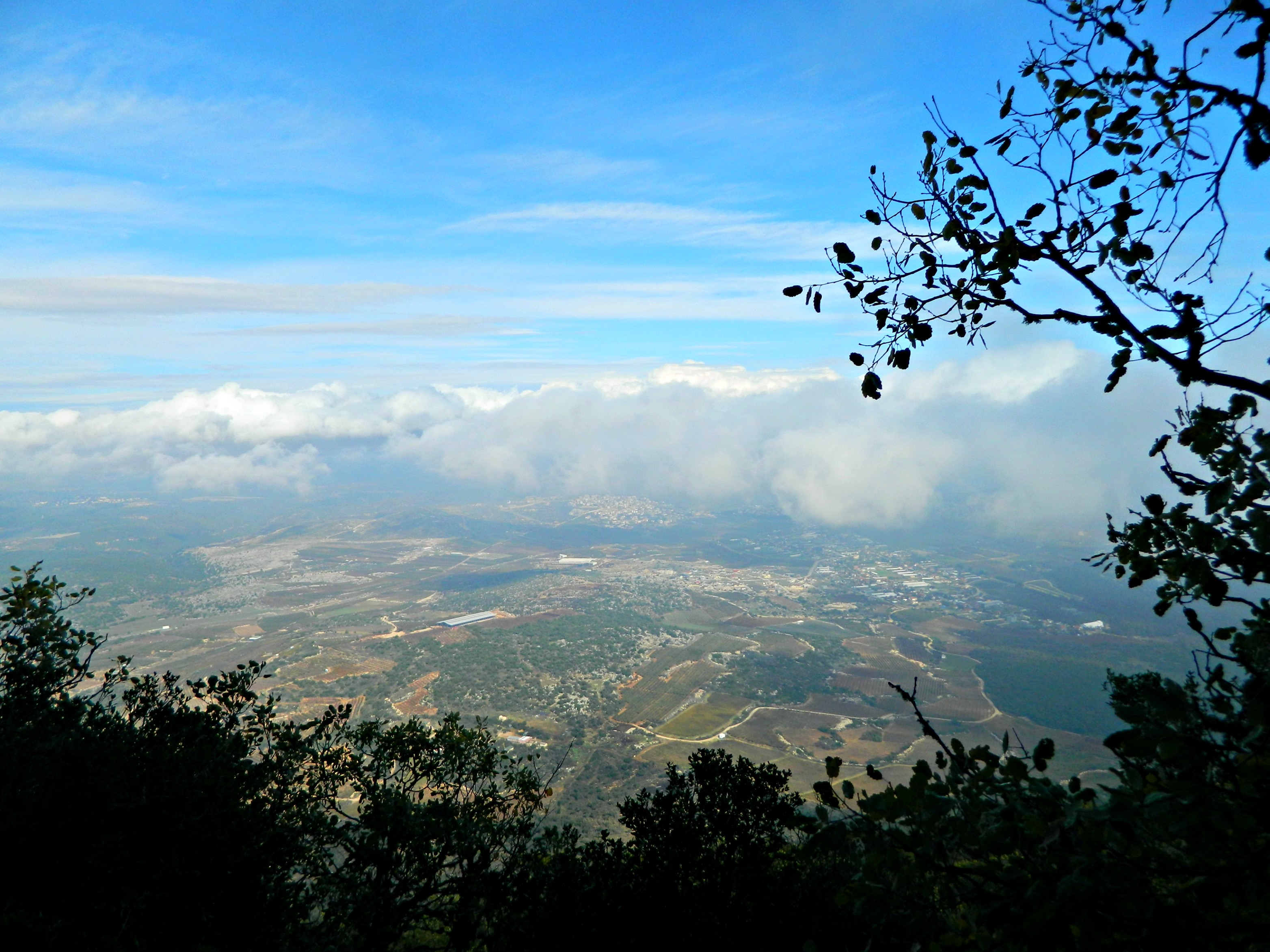
View to the north
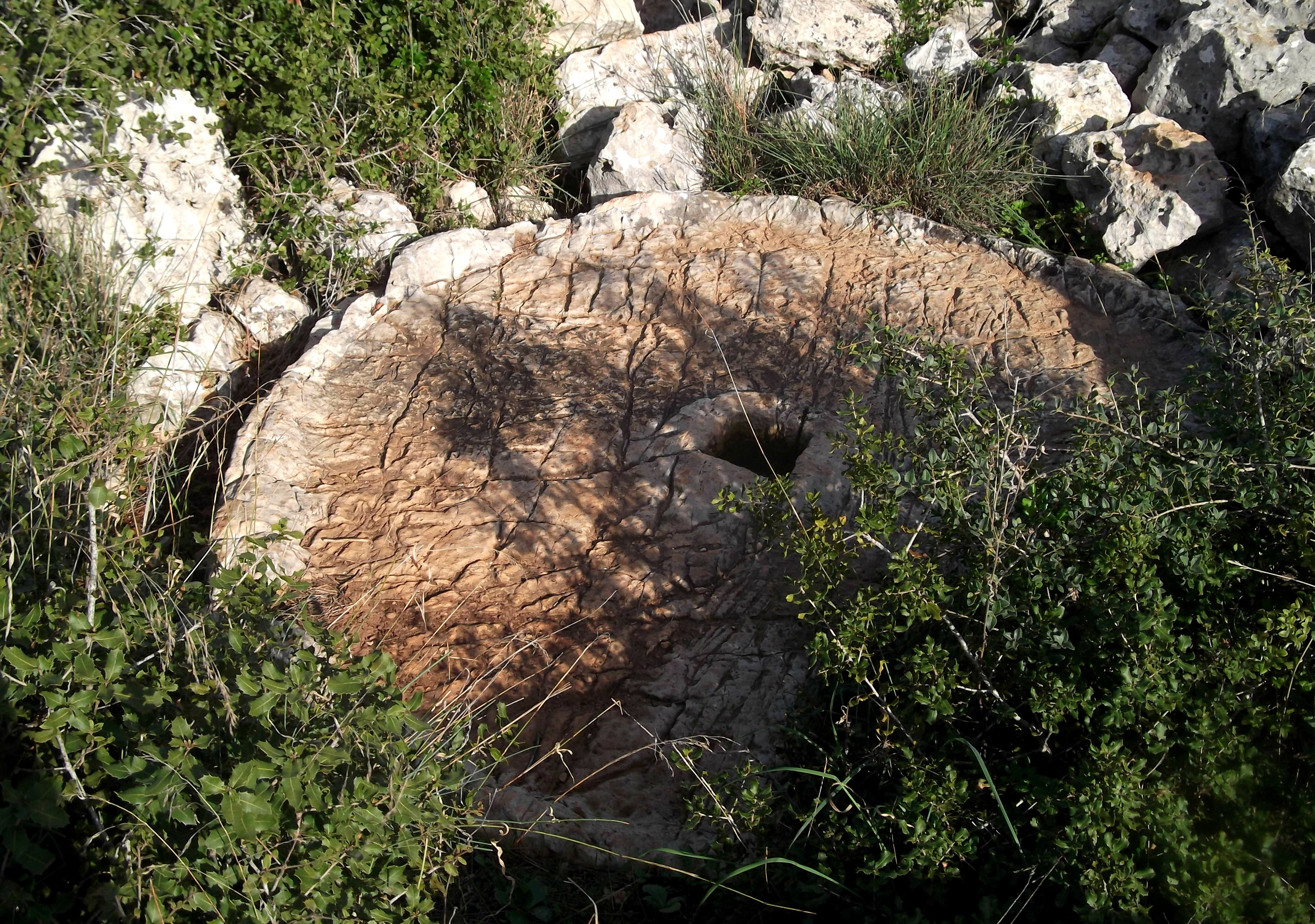
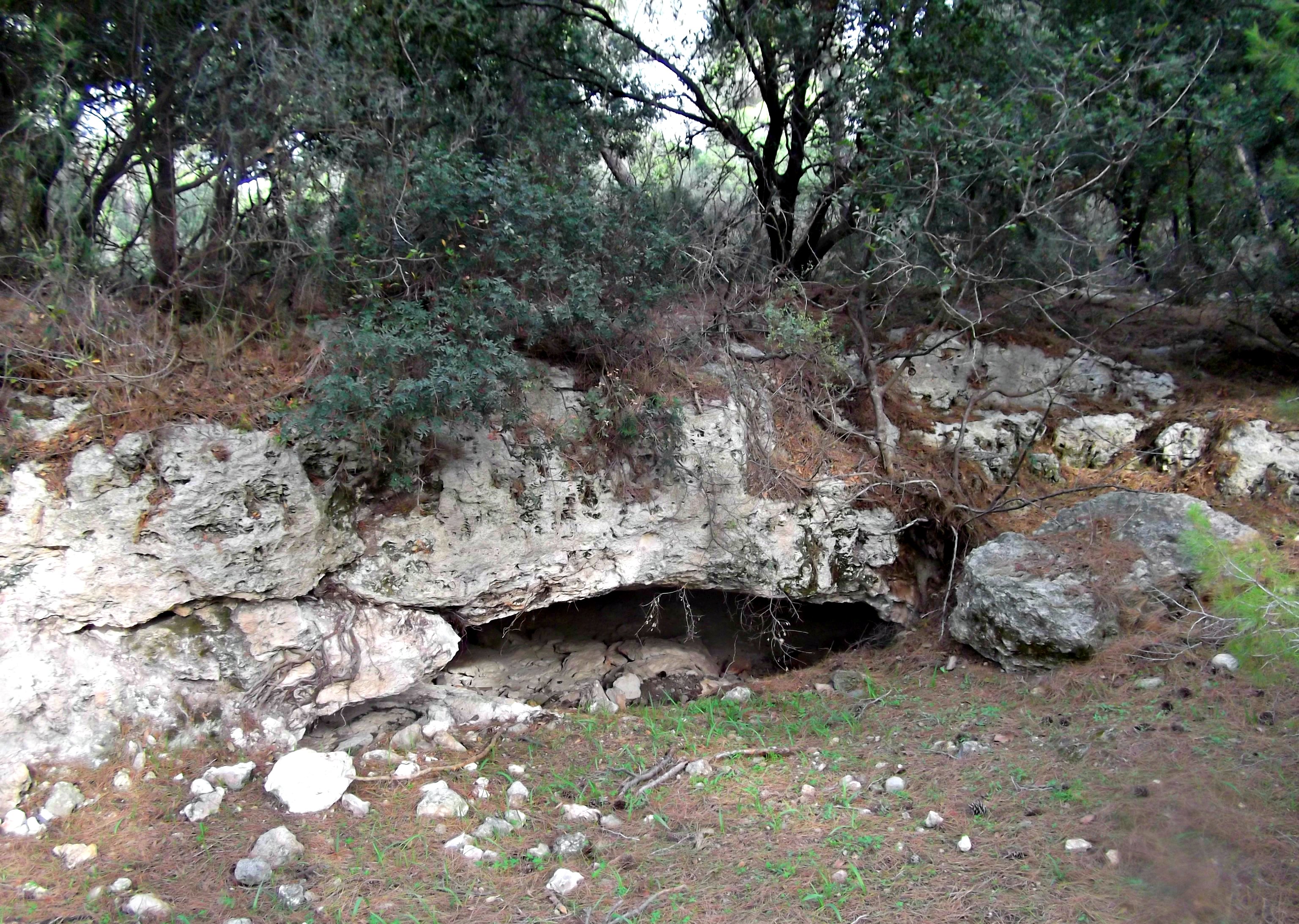
Just a wee bit along the path we came across the remains of an ancient winepress cut into the mountain bedrock. The grapes would be manually crushed on the left while the juices would flow into the carved cistern on the right. Today, muddy water replaces grape juice and fire salamanders use this pool as a breeding sanctuary (these salamanders are more often associated with Tel Dan). We watched as the tiny salamander tadpoles swam around the murky pool, but trying to capture them on camera proved to be tricky.
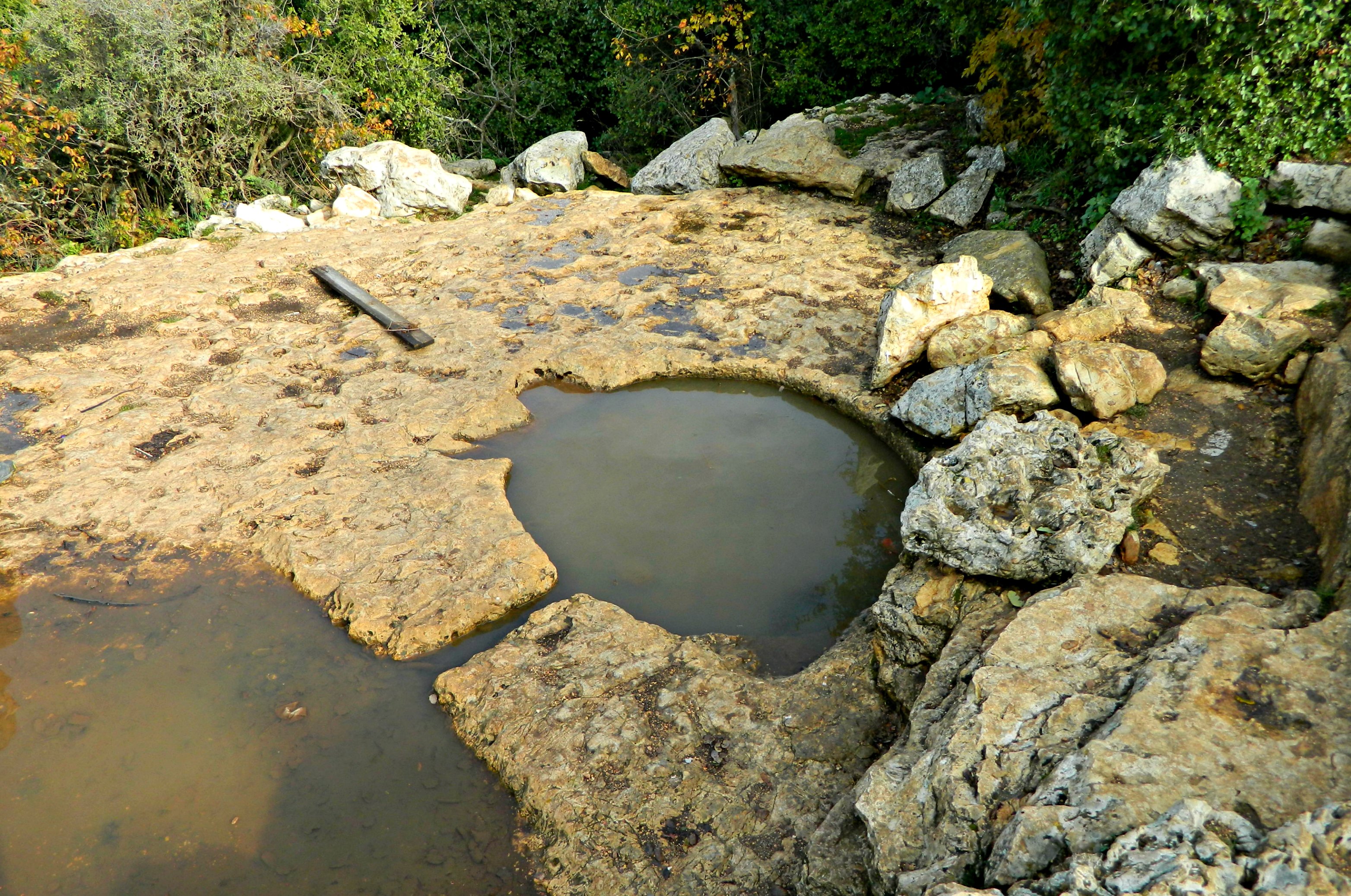
Ancient winepress now salamander pool
Moving on, we spotted sections of the soft topsoil where wild boars had turn up in search for goodies (perhaps mushrooms and truffles). Right beside a feeding area we saw these mushrooms untouched, patiently awaiting demise in the jaws of a wild boar:
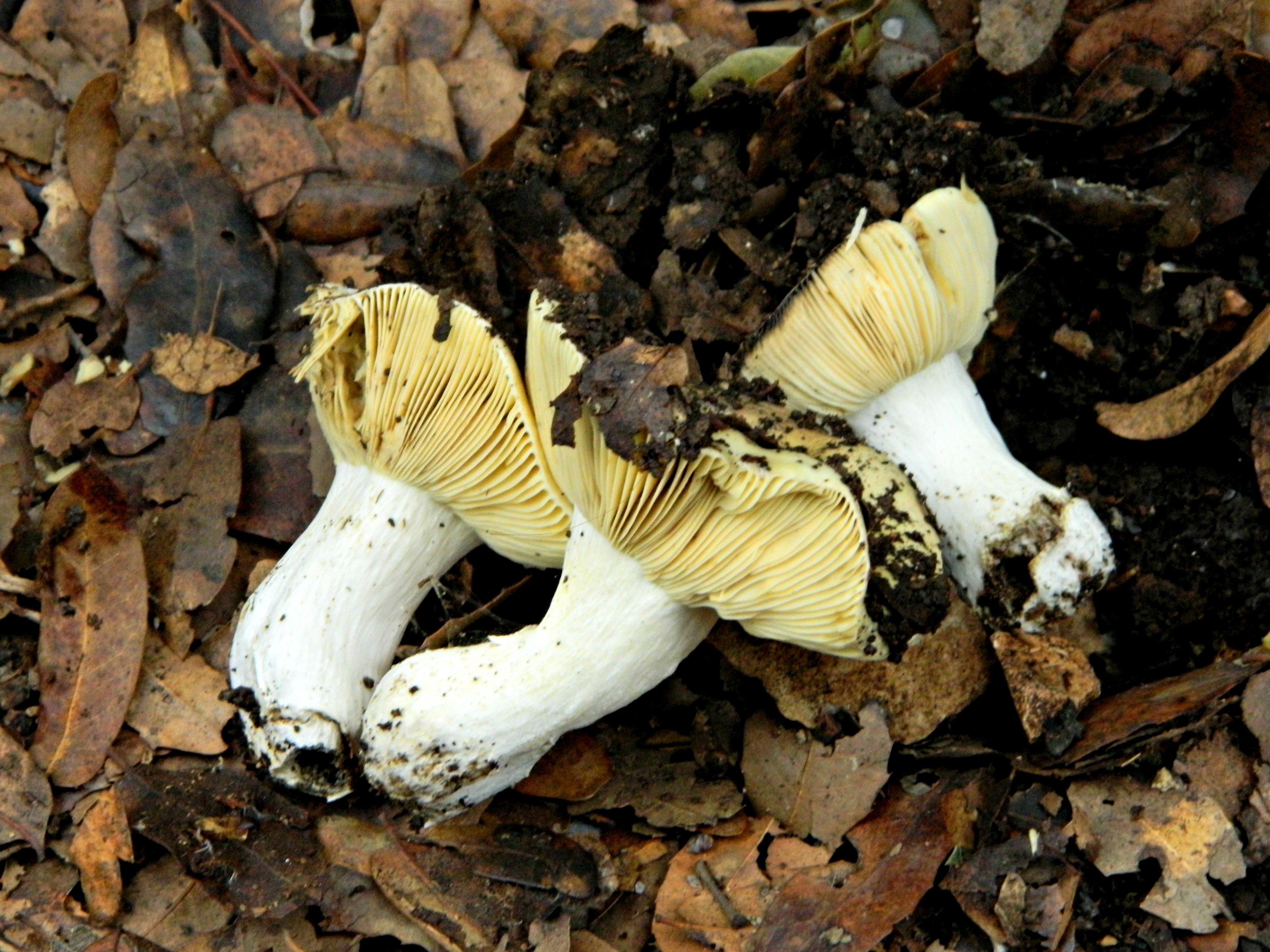
Wild mushrooms
The third, and final, observation point is the southern/western one – views of Mount Tabor, the Gilboa Mountains, Haifa University, Mount Carmel and Ma’alot. This side was heavily clouded and we could only see the closest ridge. Although just below the lookout is Beck’s Ruins, the story of an unfulfilled dream to build a Jewish settlement atop Mount Meron. Back in 1831, Rabbi Israel Beck immigrated to the Holy Land and settled in Safed owning a printing press. When Safed suffered a disastrous earthquake in 1837, he turned to the Egyptian governor Mohammad Ali to build on Mount Meron with ten other Jewish families. Within two years, due to hostile Turkish overlords and hard rural living, the settlement was abandoned and the Beck family moved to Jerusalem.
Beck’s Ruins
Shortly thereafter the trail reached the road and the clouds became quite dense. It was very agreeable walking through the cloud, seeing the mist whip by with the brisk wind. We continued on to the car and ended up getting rained on as we got further down the mountain, below the clouds. Fascinating stuff, I say!


