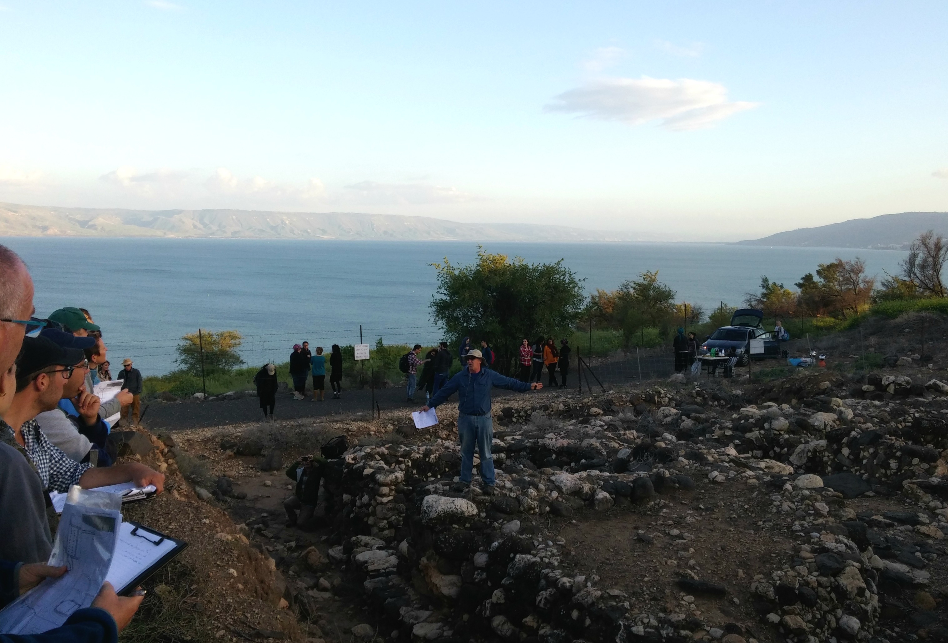
Shortly after the Bar Ilan University department trip to the Kinneret I signed up for yet another trip, this time to some rather obscure sites in the southeastern corner of the Shomron (Samaria) not far from Jerusalem. I joined my group in Jerusalem and away we drove in a bus with plexiglass windows out of the capital and into the wilderness via Hizme Checkpoint. We drove past Tel Aswan and up the mountain to Mitzpe Dani for a 360° lookout and introductory lecture on the location by our guide Dr Dvir Raviv, a lecturer at BIU.

Dr Dvir Raviv giving the 360° tour at Mitzpe Dani
Spinning in a circle at the observation deck, Dvir pointed out on the horizon the various areas of Jerusalem, the desert fortress of Herodian and, to my amazement, the twin Jordan Gate Towers in Amman, Jordan just barely visible in the haze. As we were located in the semi-arid mountains of the southeastern Shomron, not far from the Judean Desert, we had a brief explanatory run-down on the different topographical and historical borders of this particular region. Regrouping in the bus we drove due north on Road 548 to our next destination, Ein Samia.
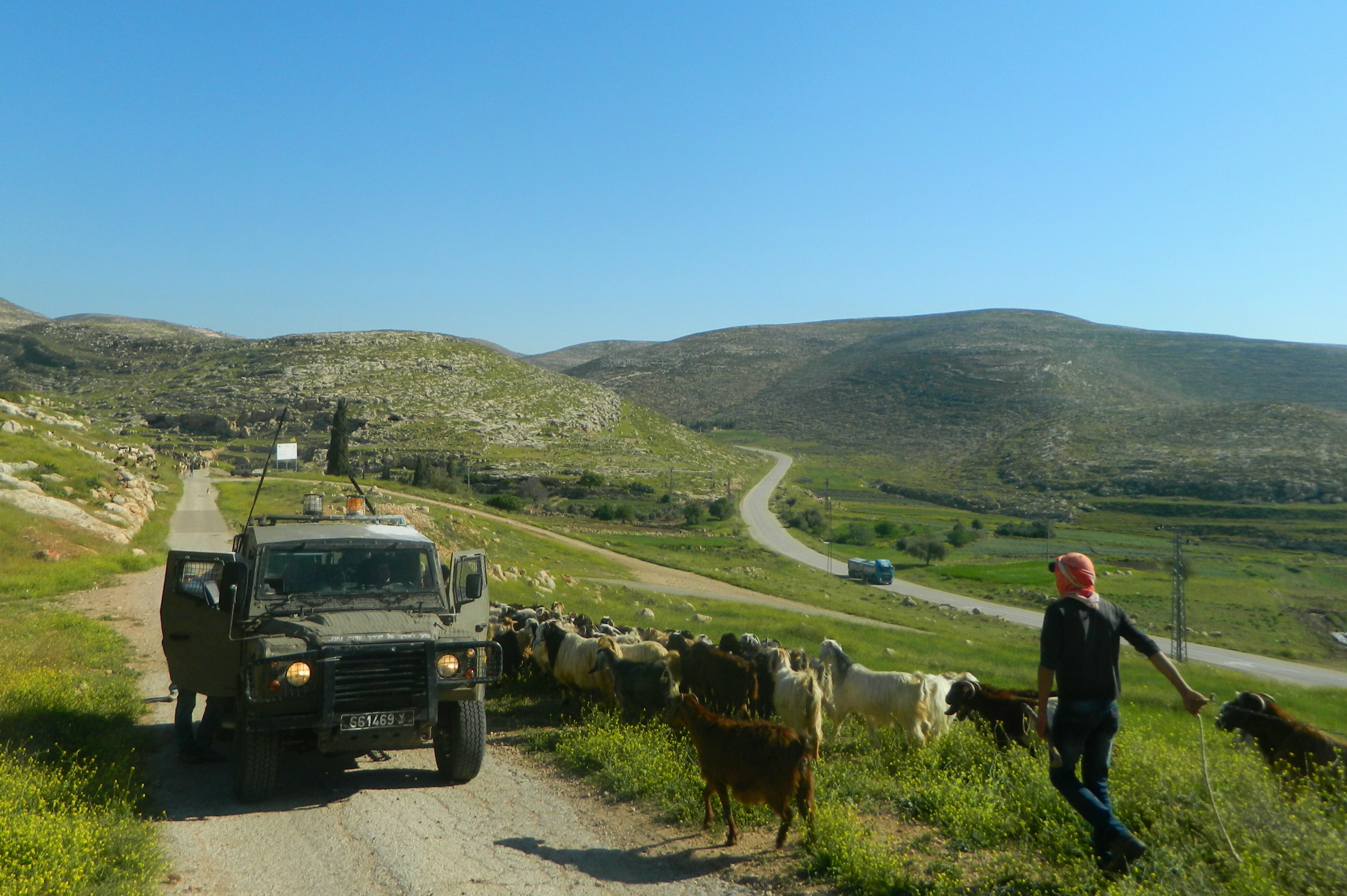
Military jeep and Bedouin herd crossing paths
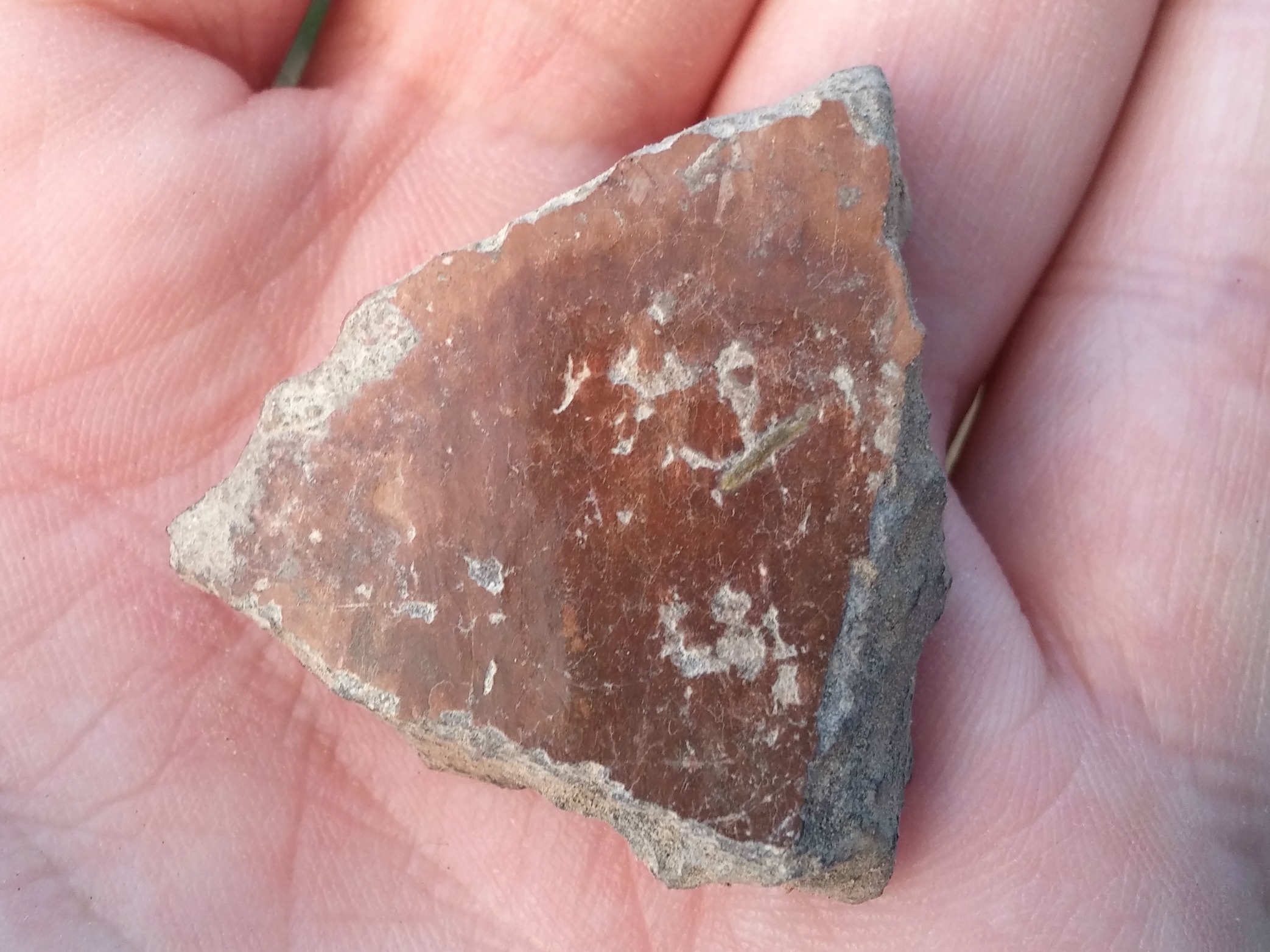
It was at this point that our trip became a hiking adventure. Our bus left us in the company of an army jeep and a Bedouin goatherd with his four-legged host, all of whom disappeared within mere minutes. We climbed up to a flat rock where a round shaft pit was dug into the stone, an ancient burial chamber excavated by nomads. Walking around the area we saw dozens of these nearly perfectly round shaft graves, some reaching the impressive depth of 7 metres (23 feet), a local oddity of which there are thousands.

Nomadic shaft grave
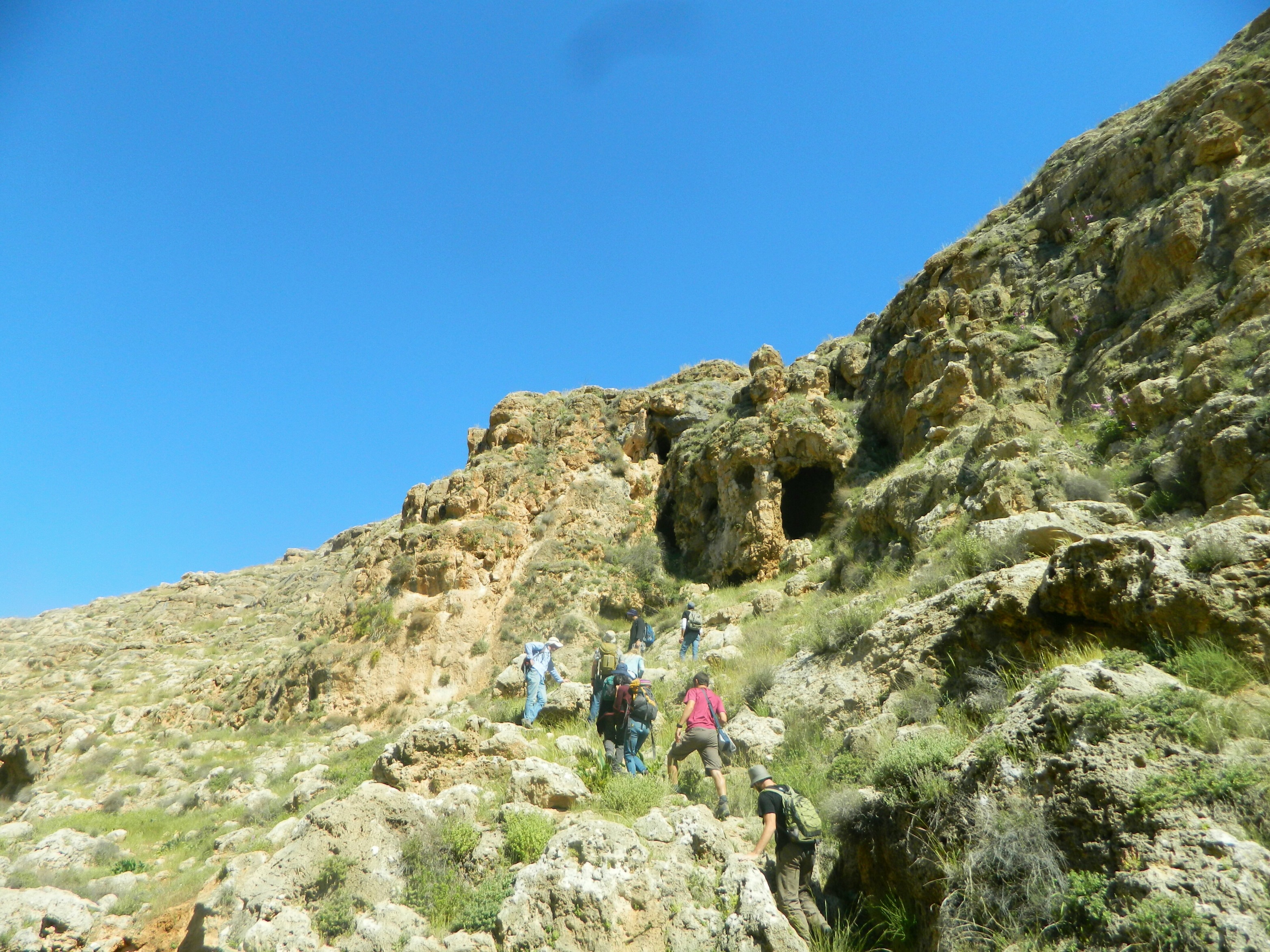
We continued on along the dirt road towards Ein Samia, crossing the old cement dam at the modern pumping station. From there we climbed up into the rocky mountainside of Wadi Auja heading for a very interesting site, Namerim Cave (translated as Leopards Cave).

Climbing the cliff edge at Wadi Auja
We heard the very unusual calls of the common raven as a pair of them patrolled the cliff edges. I nearly stepped on a tortoise and then took photos of a bizarre praying mantis (Empusa fasciata) and a bush cricket (Isophya savignyi).

Bush cricket (Isophya savignyi)
As we finally reached Namerim Cave, having climbed precariously along the cliff side, we sat down at the double-mouthed entrance to hear an entrancing story about the cave’s name – while overhead some crag martins flew.
Approaching Namerim Cave from Wadi Auja
If I remember the story correctly, several decades ago there were local goatsherds who complained of a pair of leopards living somewhere in the wadi, venturing out to kill goats and even puppies of their guard dogs. The shepherds followed one of the leopards back to its lair, the cave in the cliff side, and trapped it inside. When the authorities came, answering the call, they reopened the cave and two angry and frightened leopards burst out, running away.
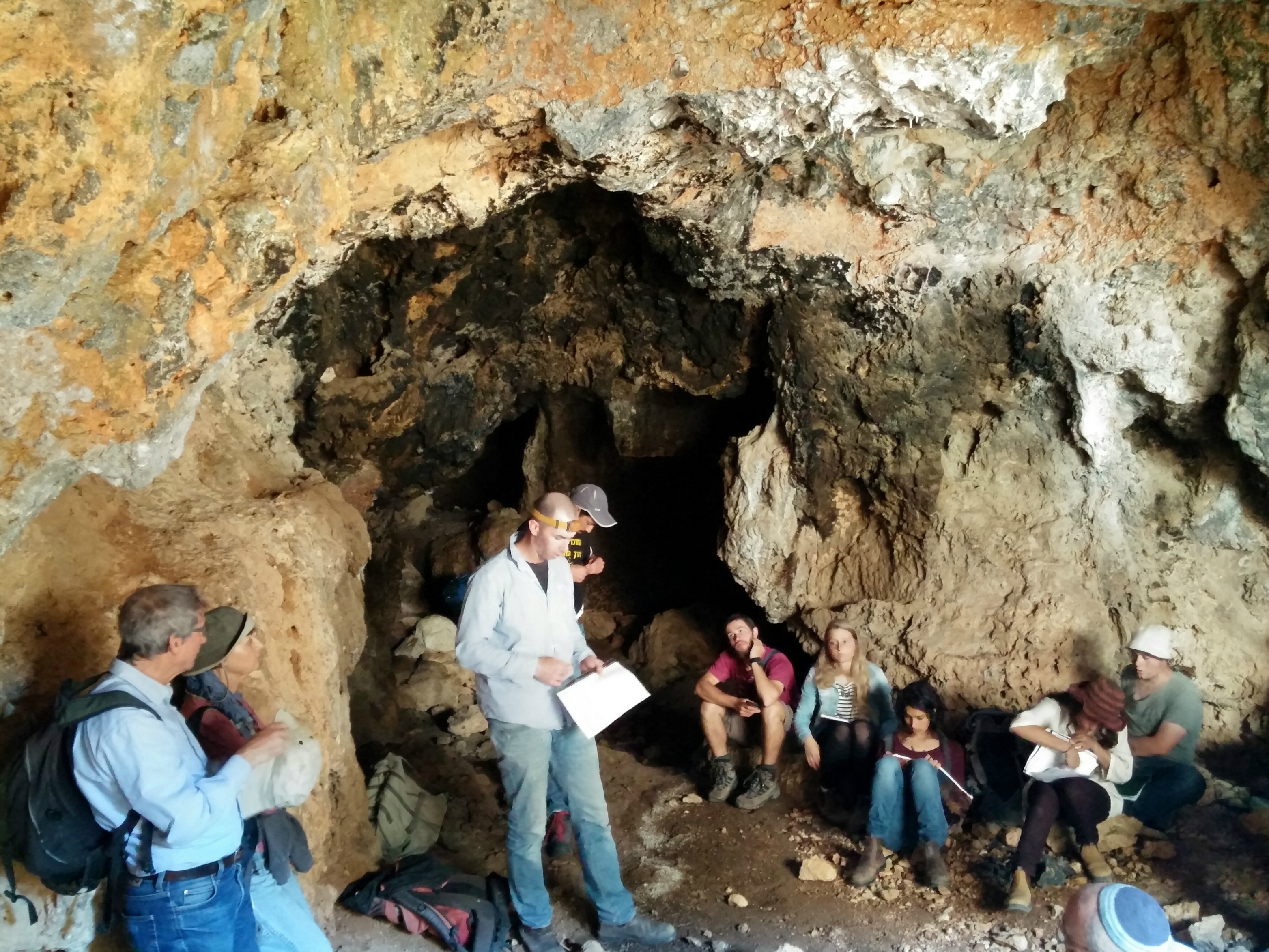
Lecture within Namerim Cave
We entered the cave from the left mouth and heard about the rich archaeological finds discovered within the multi-roomed grotto, including pottery from many periods. While the academic findings and research have yet to be published (consider this a sneak peek), Namerim Cave is believed to have been a place of refuge during the Hasmonean and Bar Kochba times, perhaps also used by the Samaritans who suffered persecution as well. Inside the cave I found a bone laying in the silty dirt, giving cause to all sorts of fantastic thoughts revolving around the fearsome leopards. Some of our party slithered further into the cave, entering subsequent chambers and even finding indicative potsherds, while I hung back and attempted to photograph a small bat that I was unable to identify.

Namerim Cave map by Boaz Langford
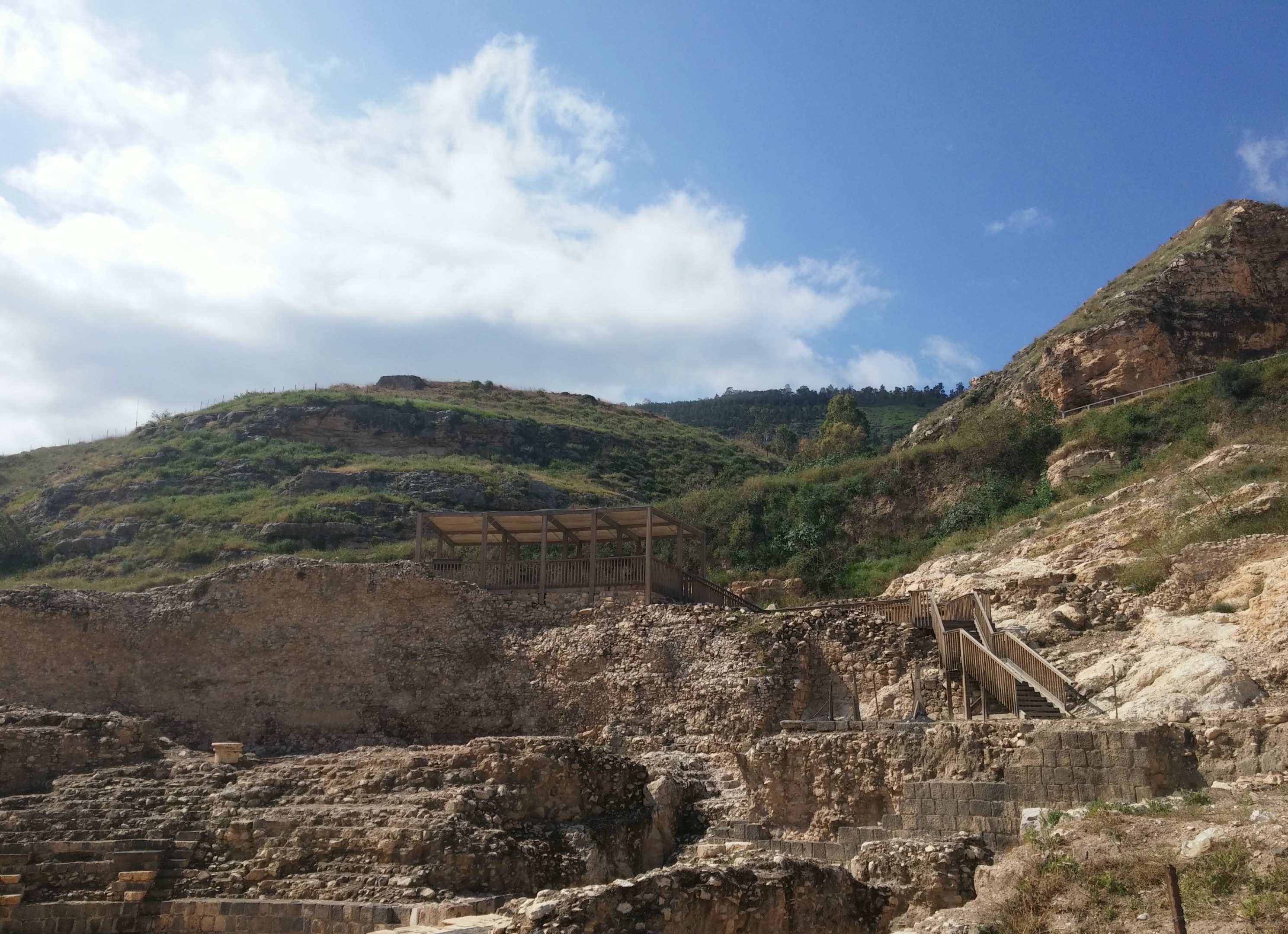
Reluctantly leaving the fascinating cave, we climbed up the side of the cliff we hiked along to the plateau of Khirbet Marajama, an ancient fortified Israelite city. Not too much is known about the city but the city walls are said to be historically significant.

Khirbet Marajama
From Khirbet Marjama we walked down the steep slope on the opposite side, facing an aqueduct, bridge and flour mill which is either Roman or Ottoman, depending who you ask. As we looped back around towards Ein Samia we interrupted some Arab looters who were pilfering the dirt in one of the excavated ruins hoping to find valuable artefacts. They scurried off and a call was made to alert authorities, a very interesting turn of events to happen so quickly.
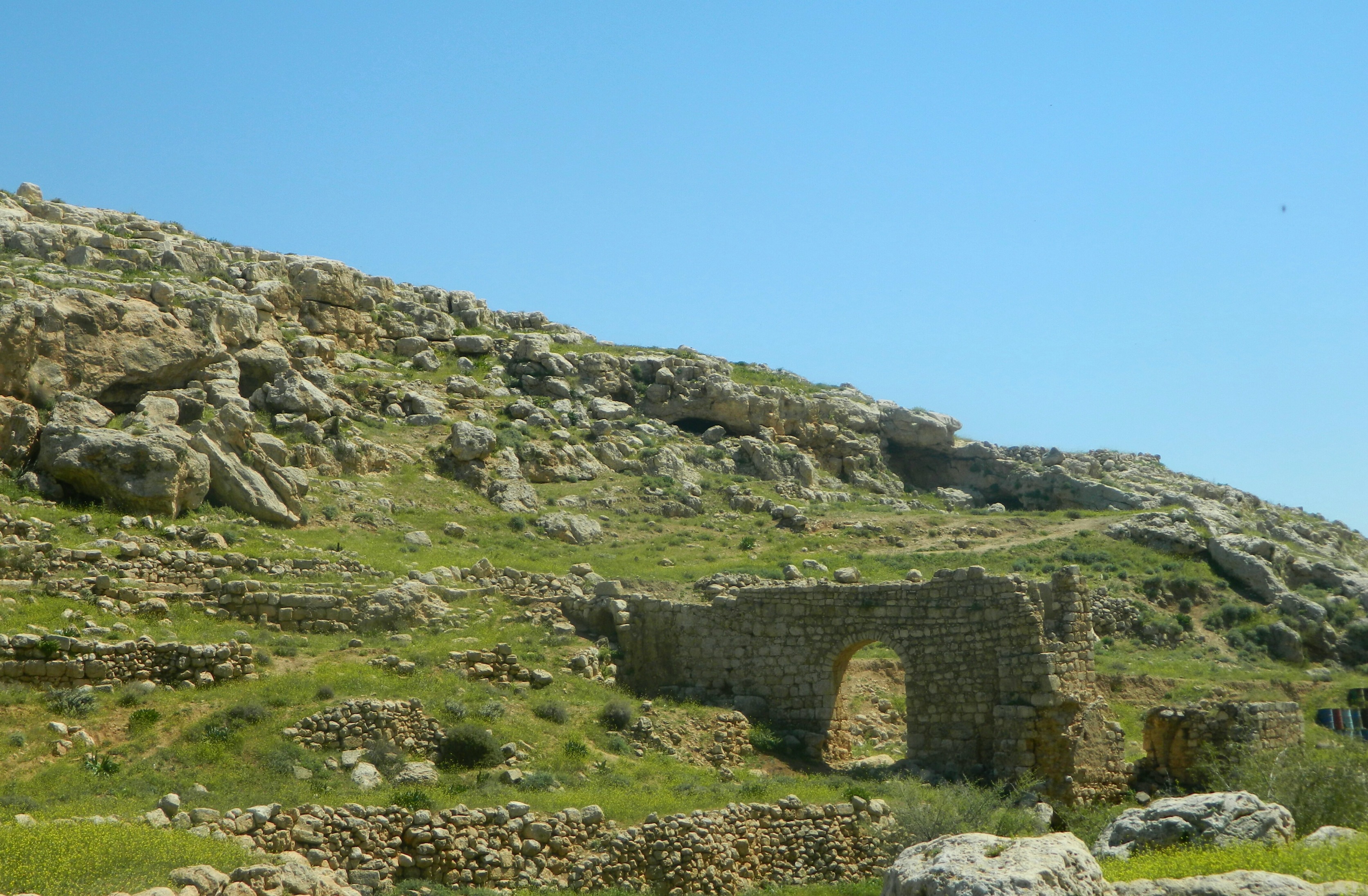
Roman or Ottoman aqueduct and bridge
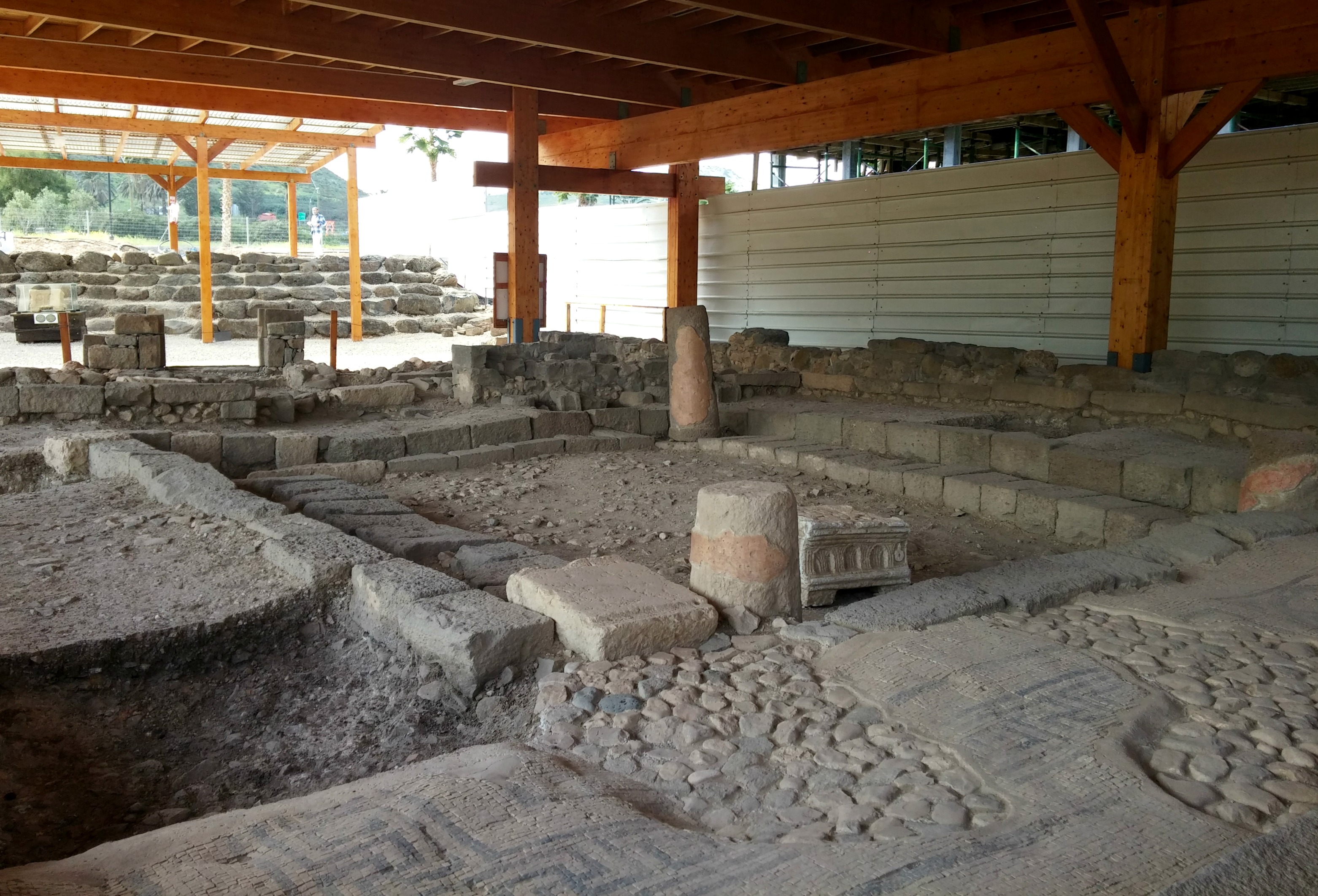
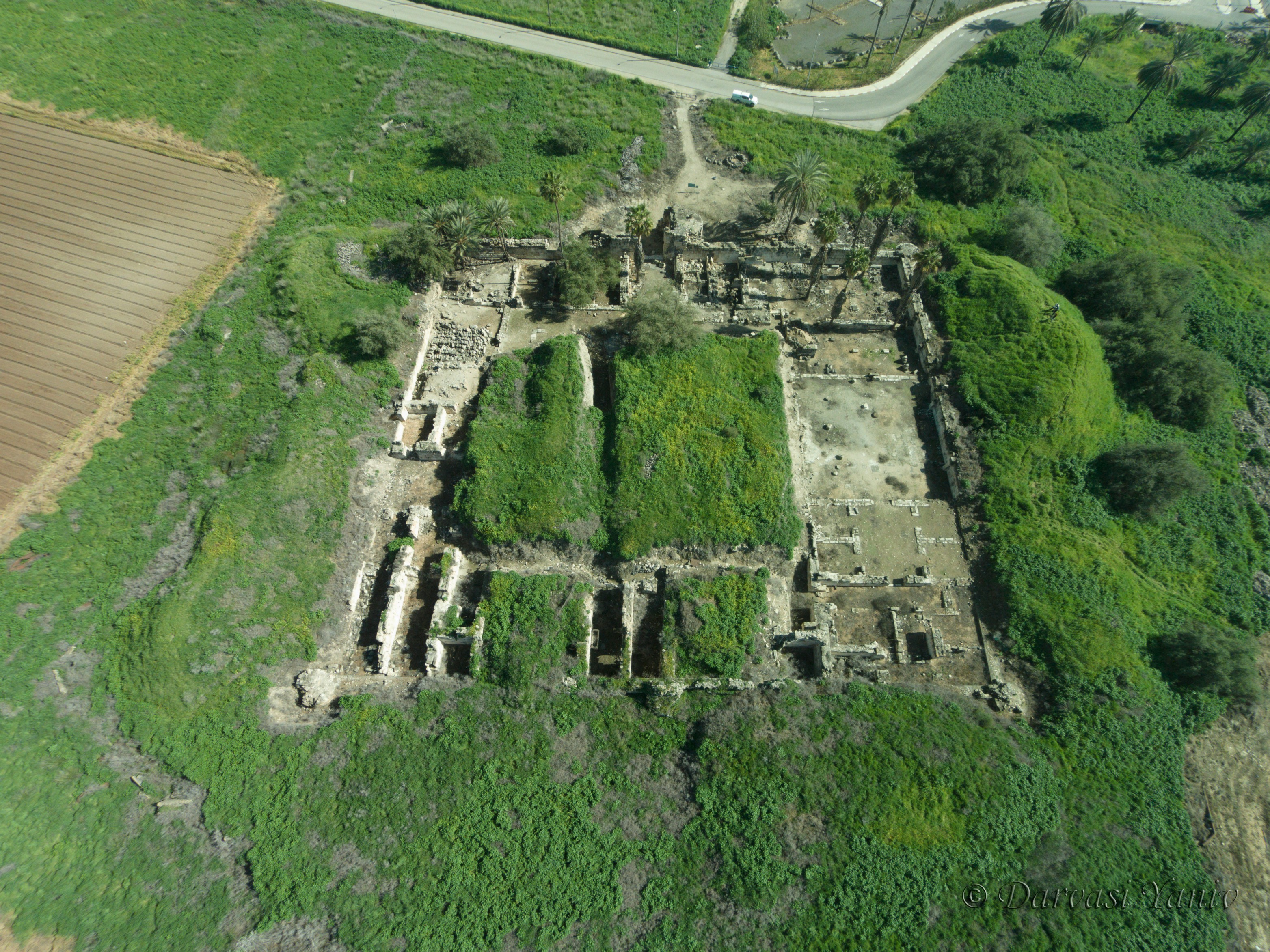
Back on the bus and driving westward to the entrance of Beit El, we disembarked once again to visit the last site on our list for the day, Et-Tell. A fragmented archaeological dig covering a large area, the ruins of Et-Tell are thought to possibly be the ruins of Ai, a very significant Biblical city.

Et-Tell ruins
Located on a slight hill overlooking the Palestinian village of Deir Dibwan, we first came upon the ruins of a Byzantine monastery and nearby village from the Bronze, Iron and Hellenistic periods, perhaps indicating towards the importance of the site. A nearby complex of excavated structures, including many underground mikvaot (ritual baths) and olive presses, attest to a Jewish village back in Roman times.
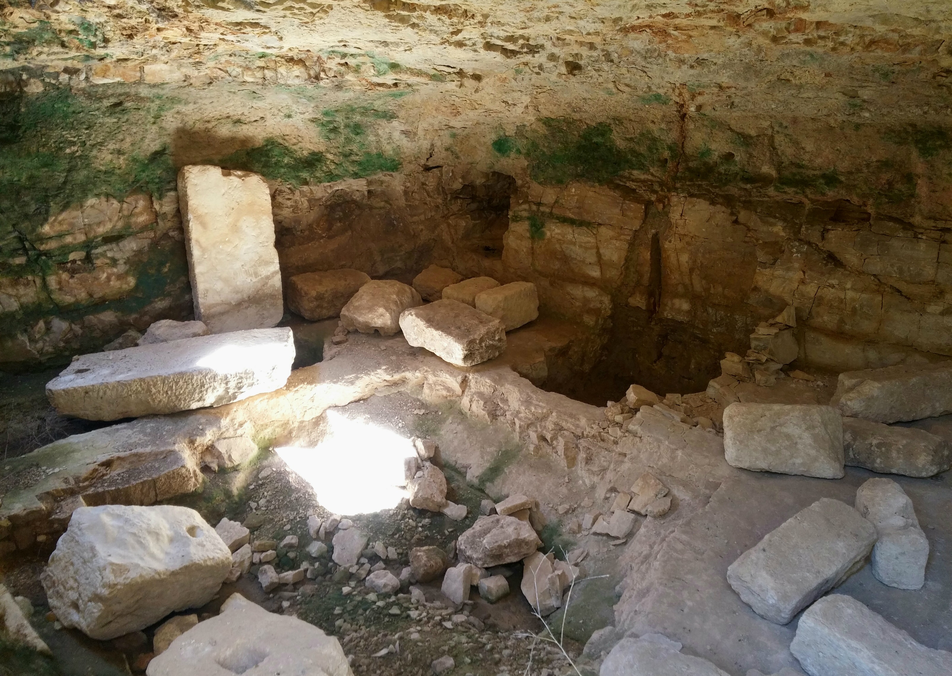
Underground olive press cave
Within the large underground olive press room we found small tunnels carved out of the walls, hidey-holes in times of persecution.
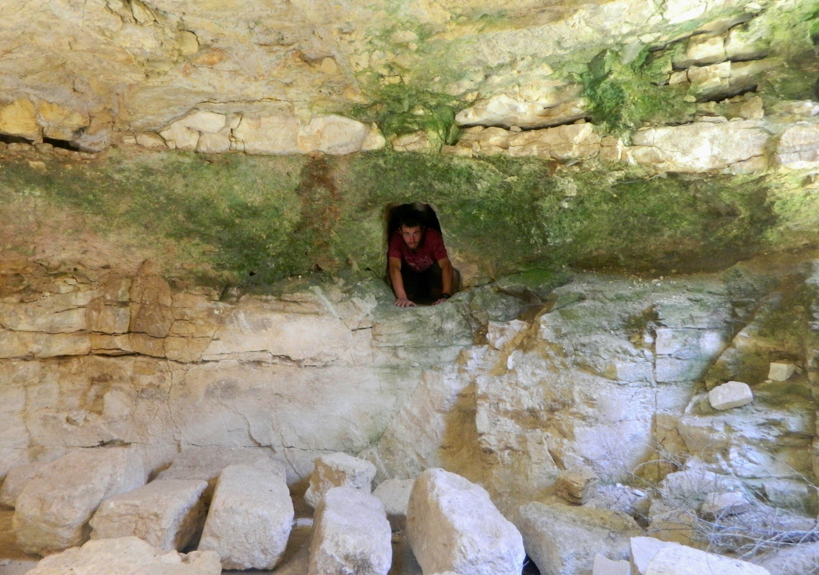
Emerging from the hidey-hole
Rounding off the fantastic trip with one last lecture, alas! the hour was late and we had to head back to the bus (being Friday and all) and then back to Jerusalem… and from there back to Bar Ilan University for Shabbat with my dorm friends.


