A few weeks ago I transferred from the Shomron to the Golan, where I plan to finish off my army service. One night, during that first week, I had a drive and saw a beech marten for the first time in my life, albeit briefly, as it dashed across the headlight-illuminated country road directly before me. The next day I drove some more and had the opportunity to visit a collection of curiosities known as Juchader (or Orcha, in Hebrew) along Road 98, not very far from the amazing megalithic site of Gilgal Refa’im.
Khan Juchader
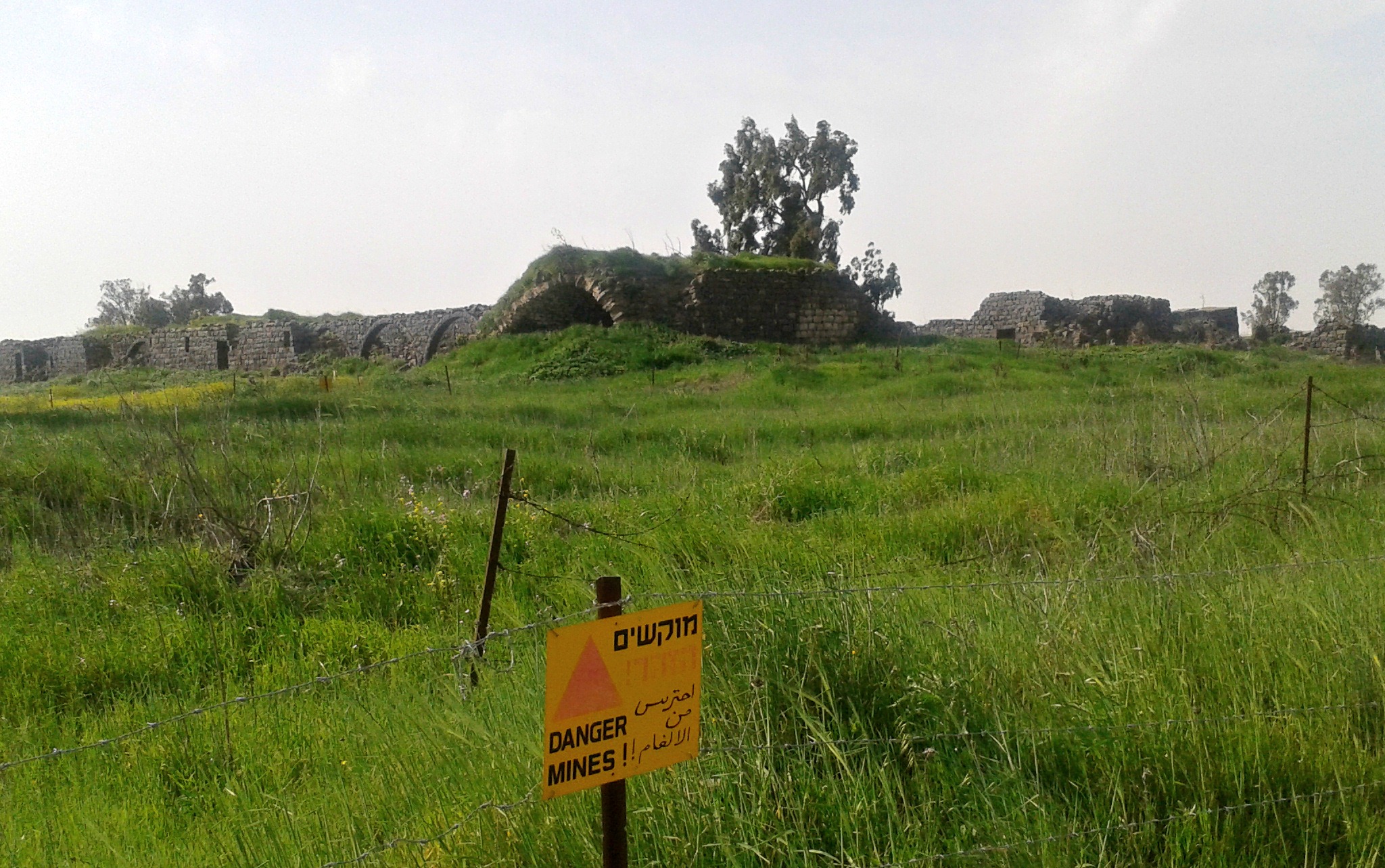
Parking at the side of the lonely road just two kilometres from the first Israel-Syria border, I exited my Safaron and immediately spotted tawny creatures moving in the distance. Scrunching up my face in effort to see better, I verified to myself that I had spotted two mountain gazelles – I just love spotting unique wildlife! Leaving my parked Safaron behind, I began my explorations at the dirt road between the visible ruins of Khan Juchader and Tel Juchader. The name “Juchader” originates from a Mamluk honourific title for the “holder of the polo sticks”, presumably of the Sultan’s. Opening a makeshift gate, I walked alongside a narrow minefield (clearly marked and fenced off) until I reached the first of the khan’s structures, built of local basalt.
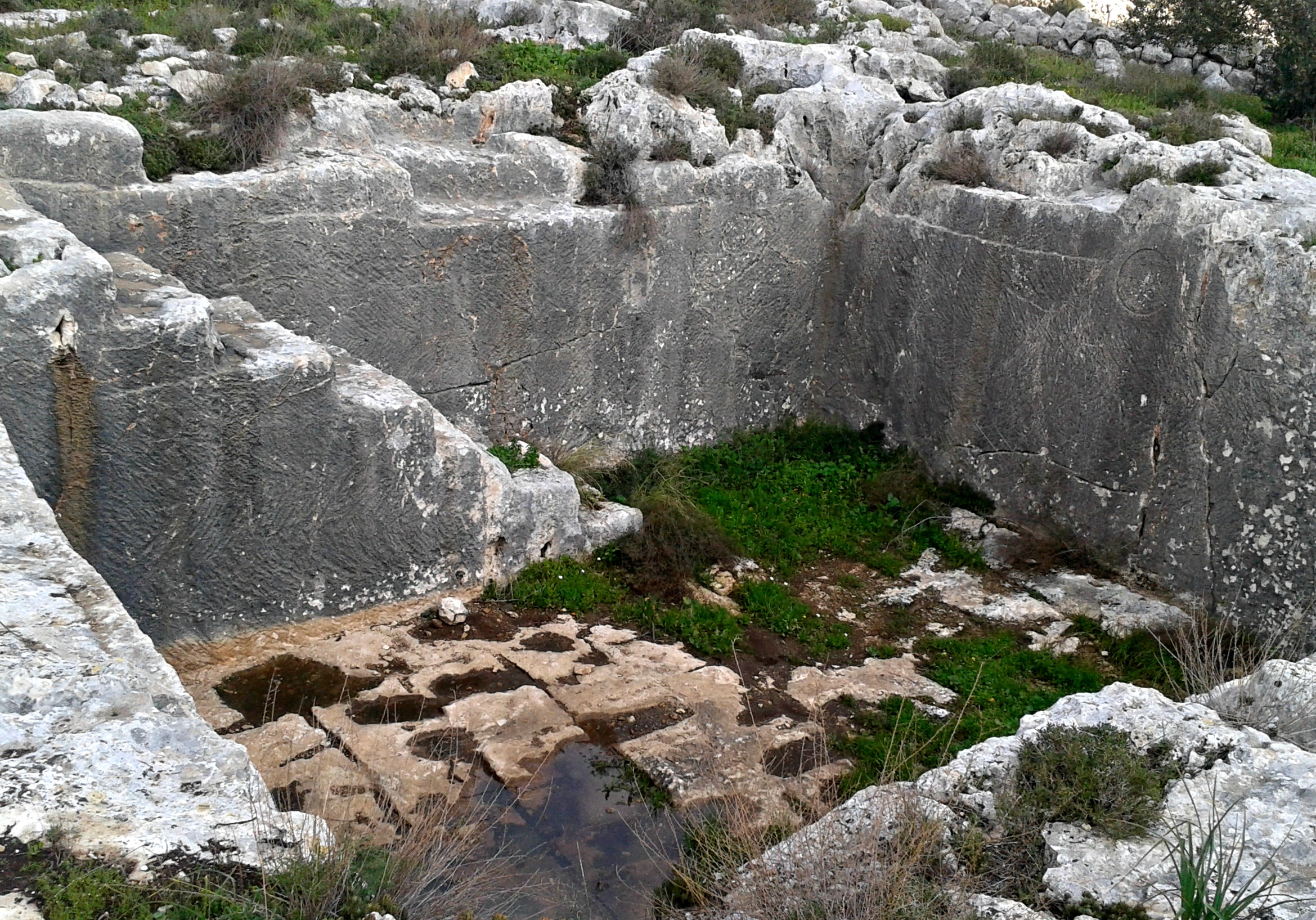
The khan’s many rooms
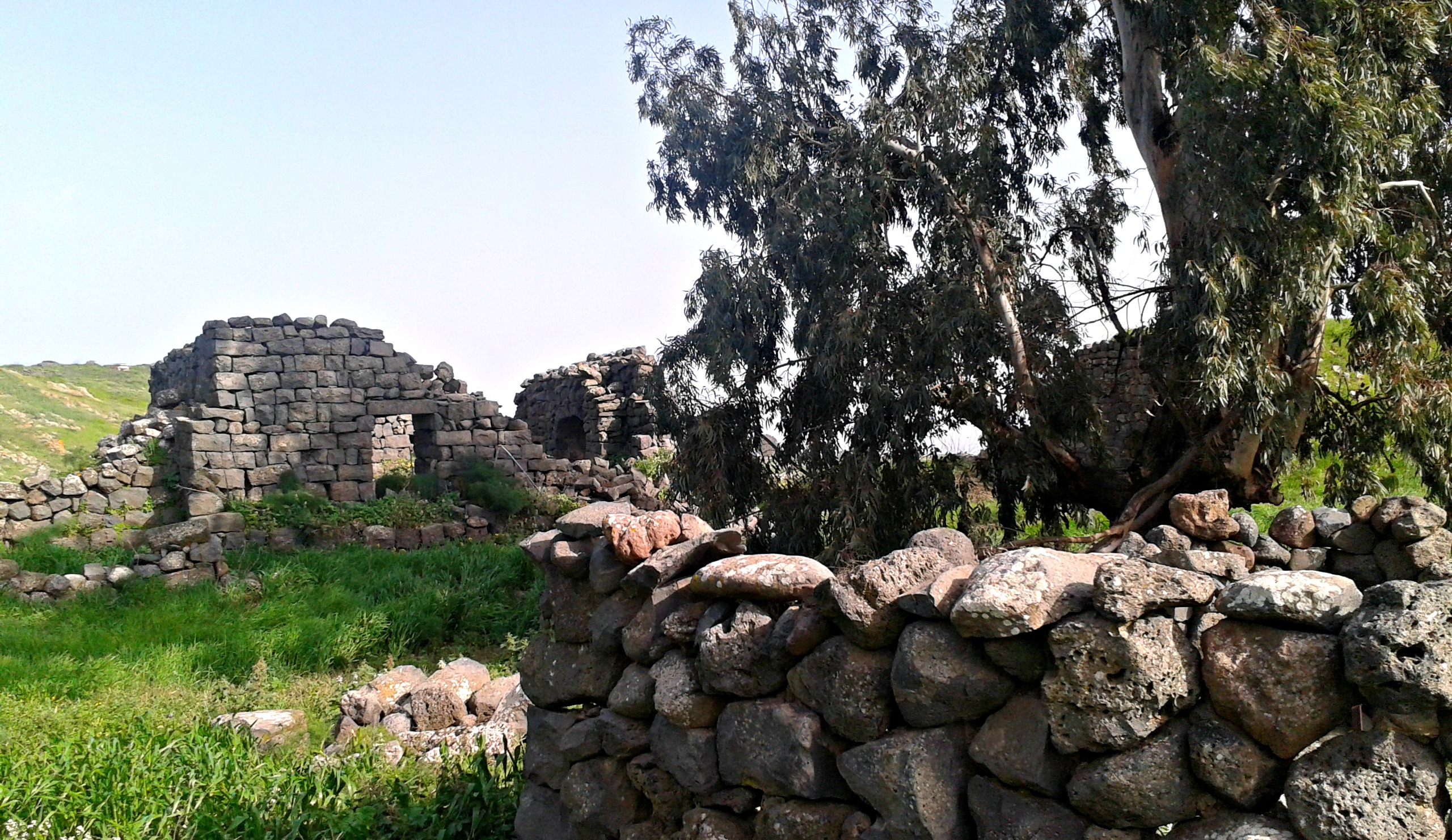
A khan, also known as a caravanserai, is an inn for both humans and their beasts of burden. Some khans are large and impressive, such as the Khan El-Omdan in Akko‘s Old City with its large granite pillars, and others are a simple affair tending to the base needs of weary travelers, such as this khan. Built in the 1300’s during the Mamluk period, this particular khan was built along a historically important road, going back to the Roman era, connecting the cities of the Holy Land with Damascus and other important cities in Syria and further east. Today, the TAP Line (Trans-Arabian Pipeline) for the transferring of crude oil from Saudi Arabia to Lebanon runs just past Juchader. Built between the years 1947-1950, it was the longest pipeline in the world (1,214 kilometres or 754 miles long) at the time but today the section that runs through the Golan is no longer in use.
Tel Juchader
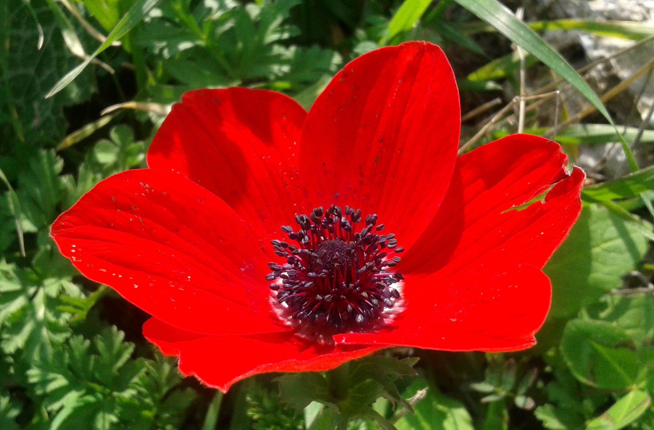
As I swished through the tall grass, inspecting the grey walls of basalt and pausing to photograph insects here and there, I kept leery of unsuspecting wild beasts in the grass or structures. With the warmth of spring upon us, snakes are also a bit of a worry – particularly as the Golan is the second most snake-populated regions in Israel. I admired the fine archwork, surprisingly intact, along the southern external wall of the rectangular complex and then rounded the corner. With the grass nearly waist-high and scattered with silky caterpillar nests, I cautiously stepped forward, being careful not to slip on hidden rocks underfoot. Approaching a particularly pleasing-looking arched room with a living roof, I caught a fleeting glance of a long reptilian shape slither into the cracks between the stones – a snake or perhaps a glass lizard.
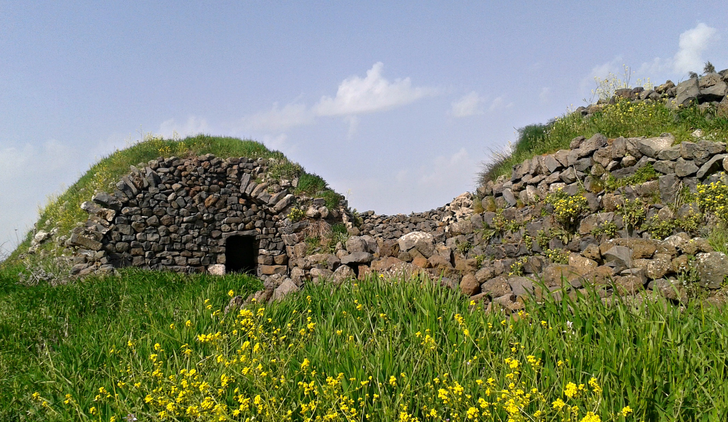
Home of the reptile
Inspecting the wall I could find no trace and carried on, walking along the central courtyard of the khan. When I finished exploring the northern and eastern sides of the khan, both inside and out, I felt ready to press onwards. As I left the complex, shutting the makeshift gate behind me, I spotted the bleached pelvic bone and spine of a long-dead cow in the grass. Shortly afterwards, I came across this puddle teeming with tadpoles – I hope they finish developing before the puddle dries.
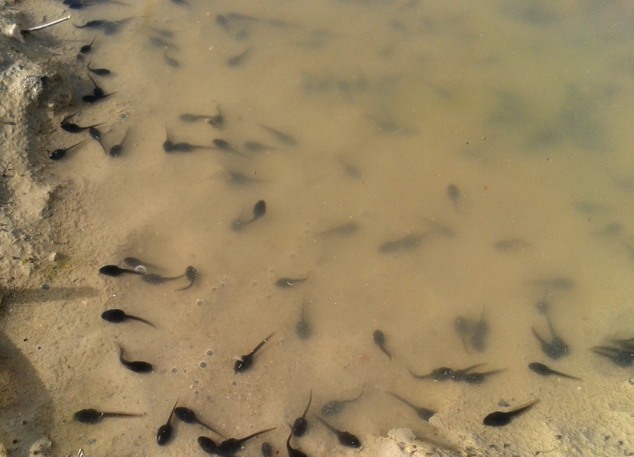
Tadpoles in a puddle
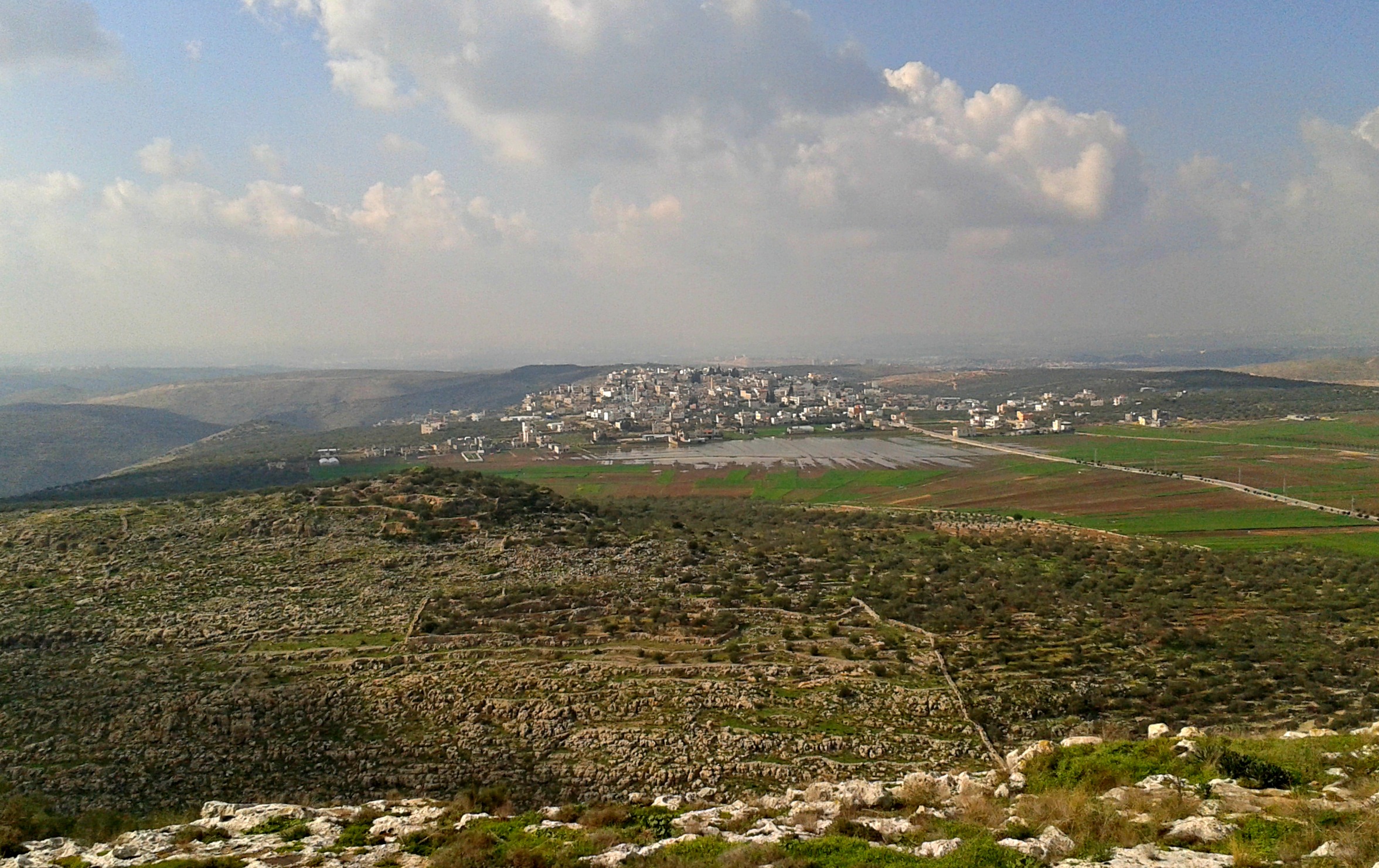
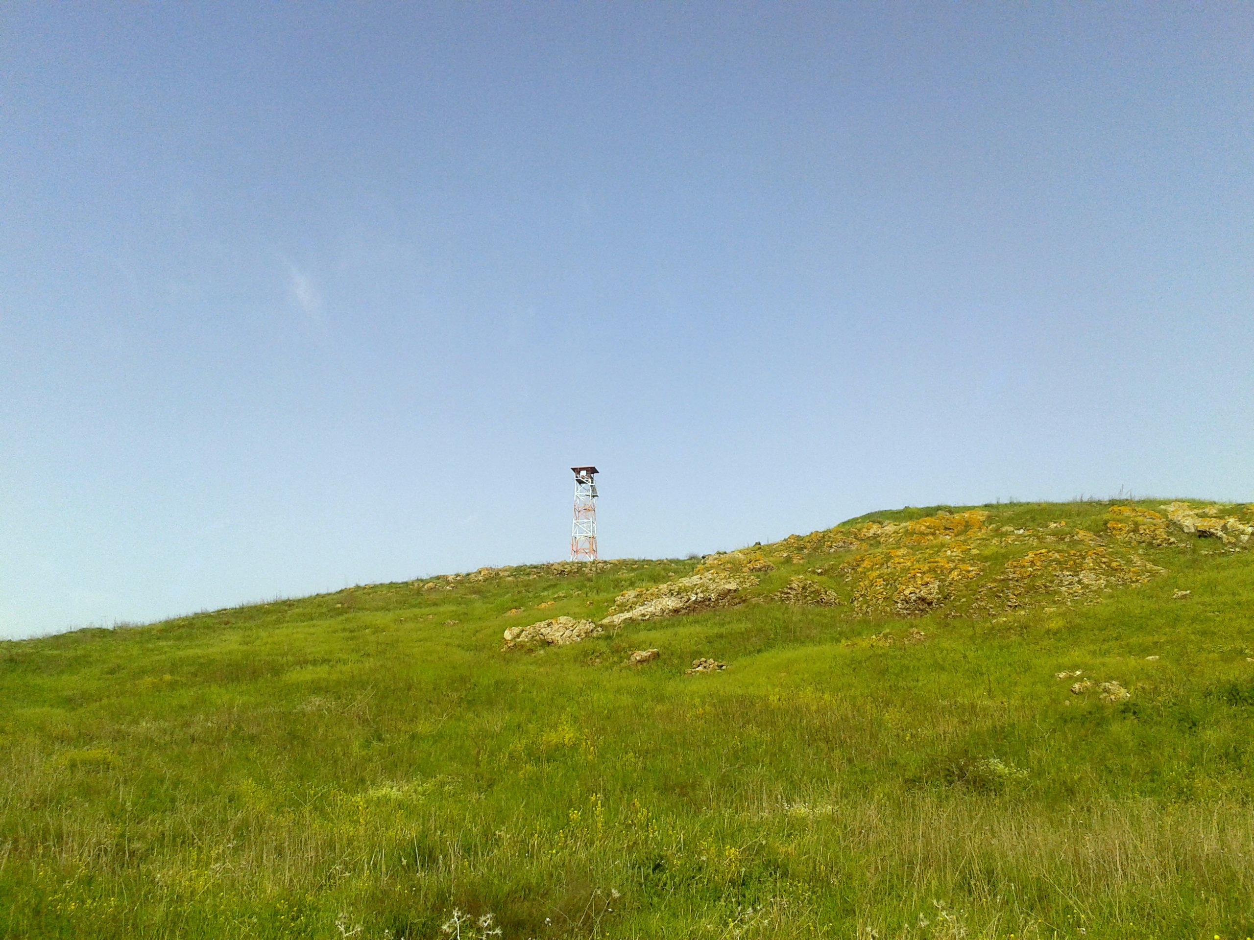
Crossing the road, I stood at the foot of Tel Juchader, a volcanic formation, and imagined the view from the watchtower looking out at Syria. On the tel are scattered remains of settlements from the usual periods of Holy Land history, most notably the Romans whose village was destroyed in the 300’s, either by earthquake or Jewish revolt. Bedouins built houses in the late 1800’s, using cut stones from the earlier ruins, but the village was abandoned after the Six Day War. During the Yom Kippur War, the Syrians conquered the area and the tel was recaptured by IDF tanks, but not without fatalities. I stopped at the memorial built for Yonatan Guberman, a reservist tank officer who fell in battle recapturing Tel Juchader. His memorial is one of many in the area, dedicated to both individuals and units who paid the ultimate price in the wars for freedom. Returning to the Safaron, we then drove to the Juchader Pool on the northern side of the tel. Hidden in a small grove of eucalyptus trees, the pool is a hotspot for hikers and soldiers alike.
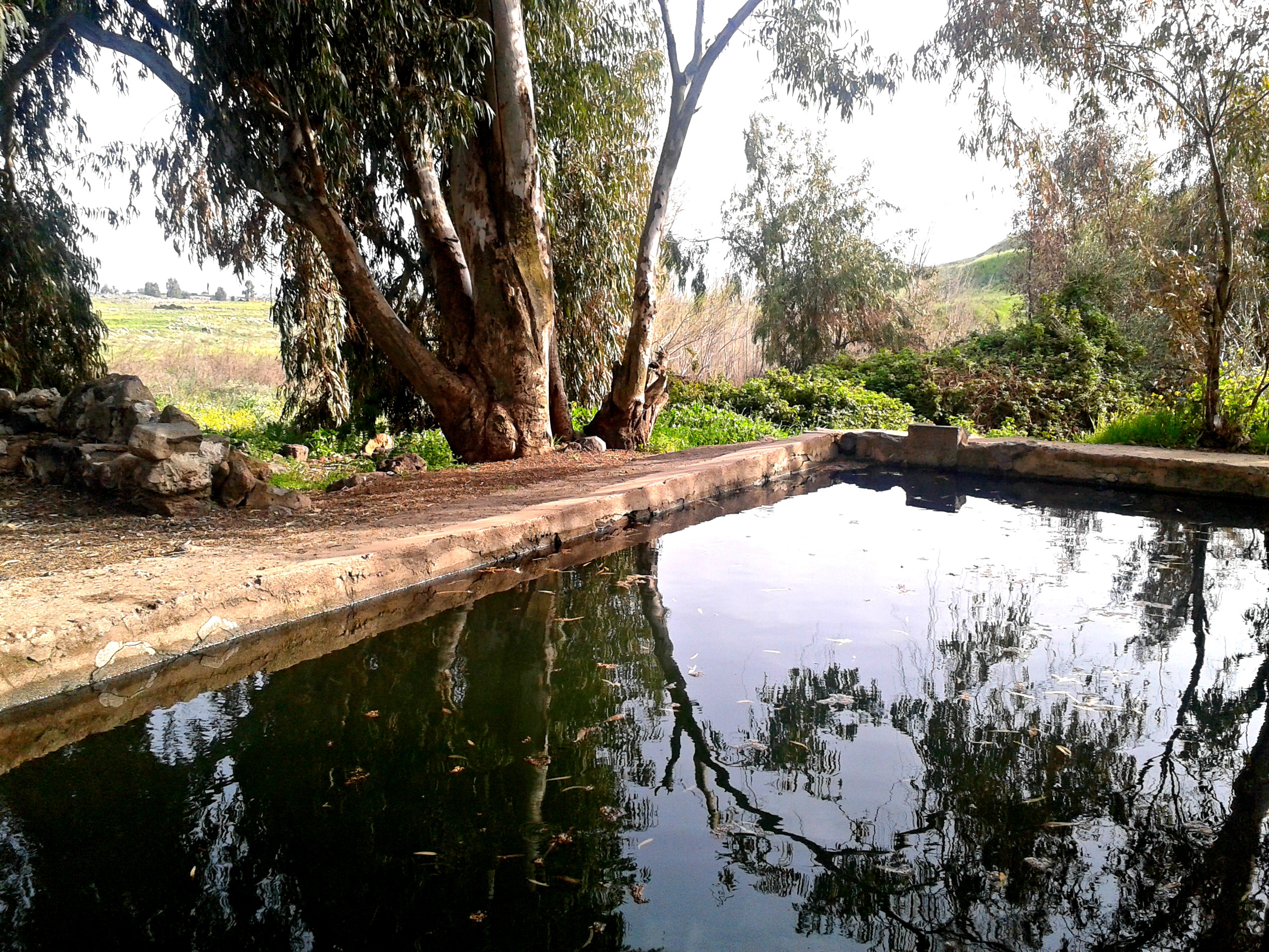
Juchader Pool
Fed from an underground spring, the pool was recently reconstructed and improved from its previous capacity as a pool for Syrian army officers – dedicated in memory of Raziel Nagar, a teenager who was killed in 2005 by a dud artillery shell. The soldiers I was with eagerly ripped their clothing off and dove into the cold water. A minibus of religious high school girls, arriving just minutes after us, made for a socially humorous situation. I ended that day’s trip with a quick visit to the peak of Mount Avital, overlooking Mount Bental – but the Golan adventures were just beginning!