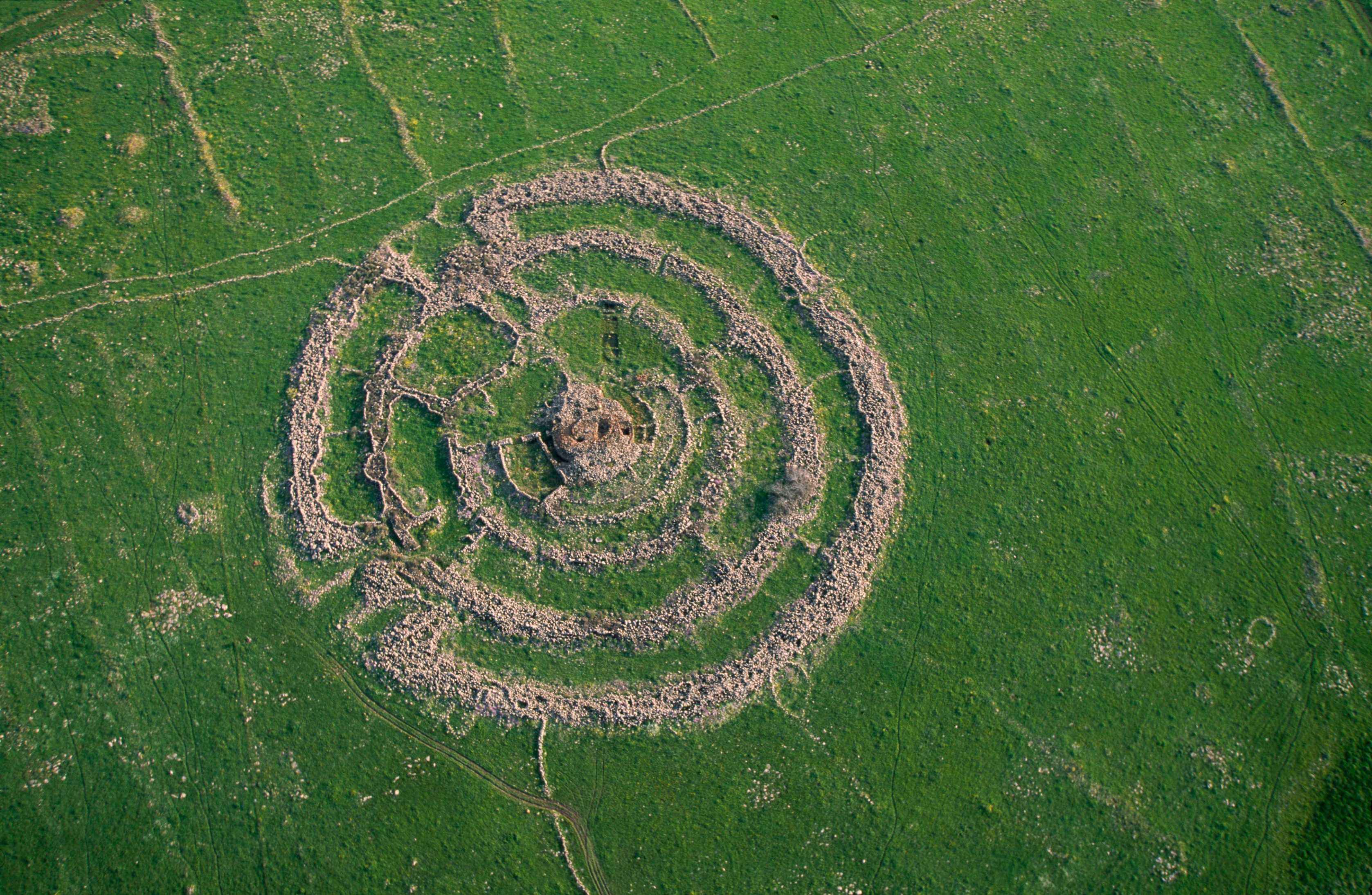
Following our hike to Gilgal Refa’im (sometimes referred to as “Stonehenge of the Levant”), we got back into the car and drove over to the Gamla Nature Reserve, just across the road. Passing dolmens along the access road, we parked and began the little loop which Gamla is most famous for: the Vulture Trail. But, on the way to see the vultures we passed by some ruins:
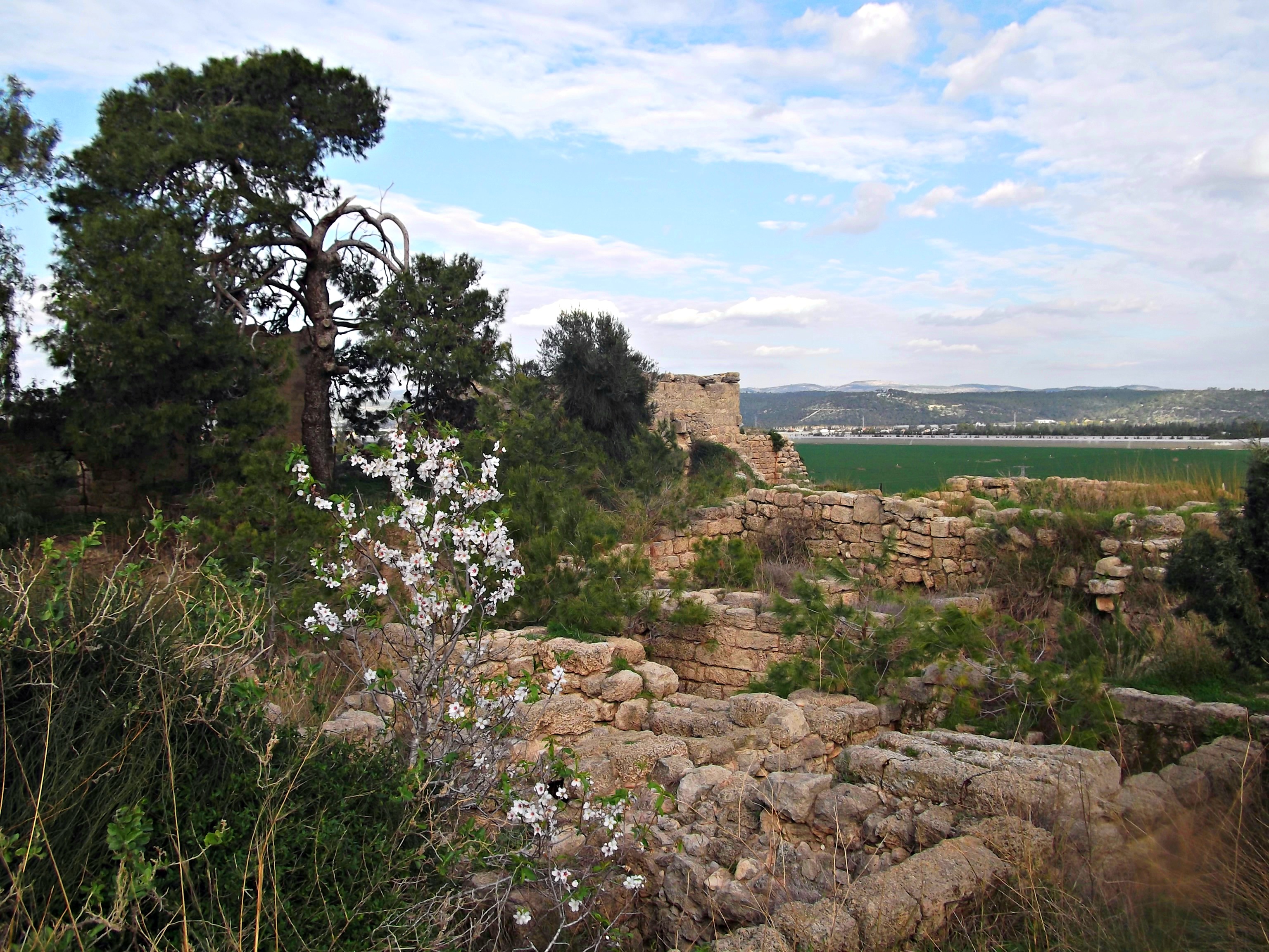
Deir Qeruh ruins
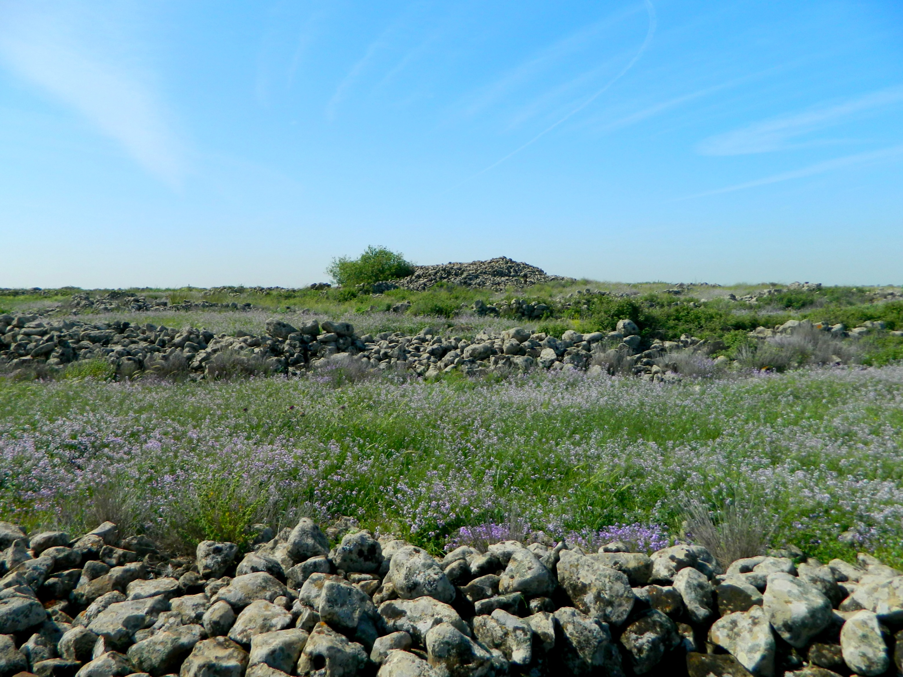
Walking along the trail, I noticed that there was more than just a wall to be seen – there was the ruins of Deir Qeruh, a Byzantine village. Something I hadn’t known before our trip, the name “Deir” signifies a Christian settlement (“deir” meaning monastery in Arabic), which carries over to today where we have villages such as Deir Hanna in the Galilee. I examined the ruins, photographed and then we continued on to the Vulture Lookout.

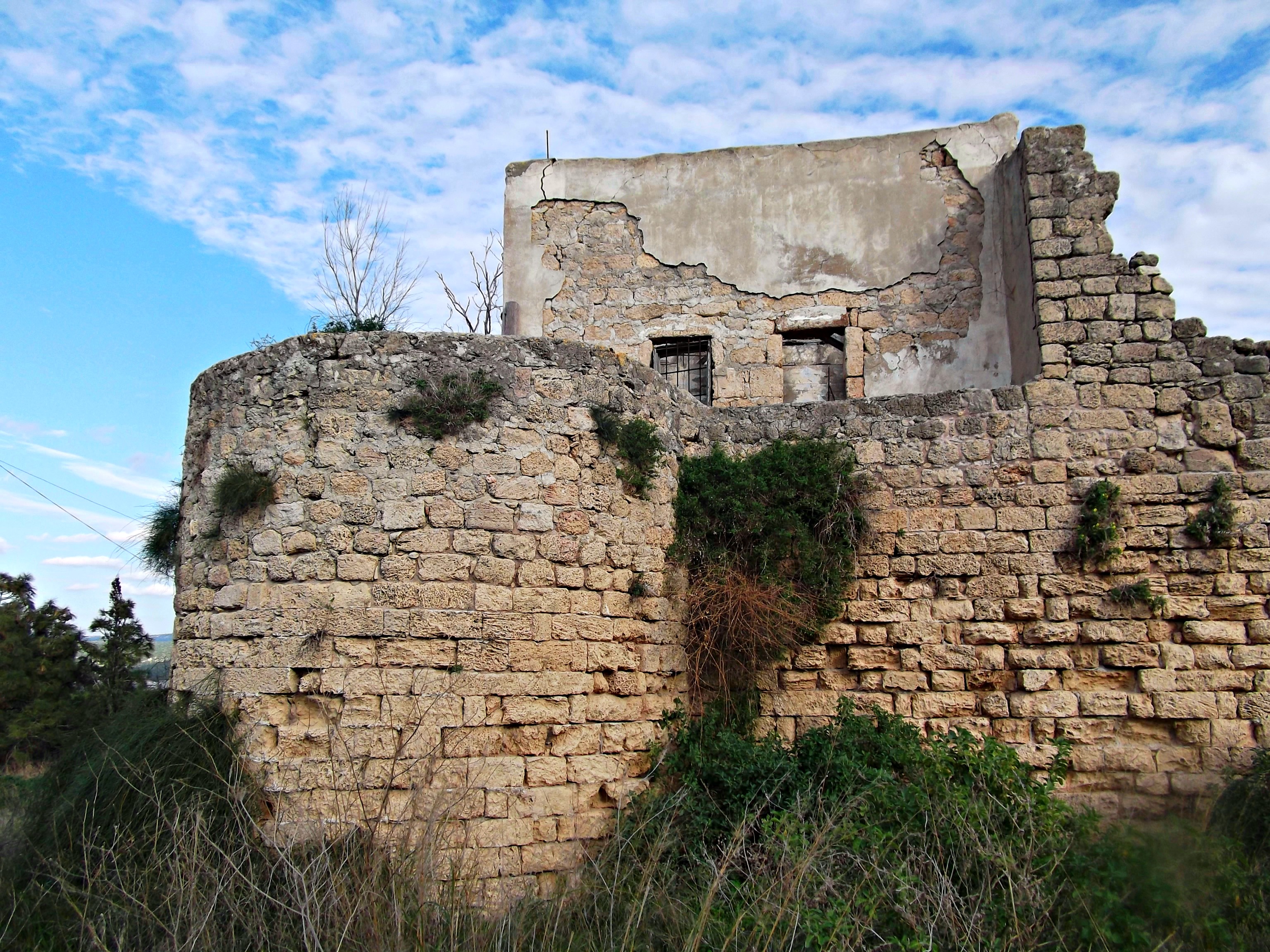
More Deir Qeruh ruins
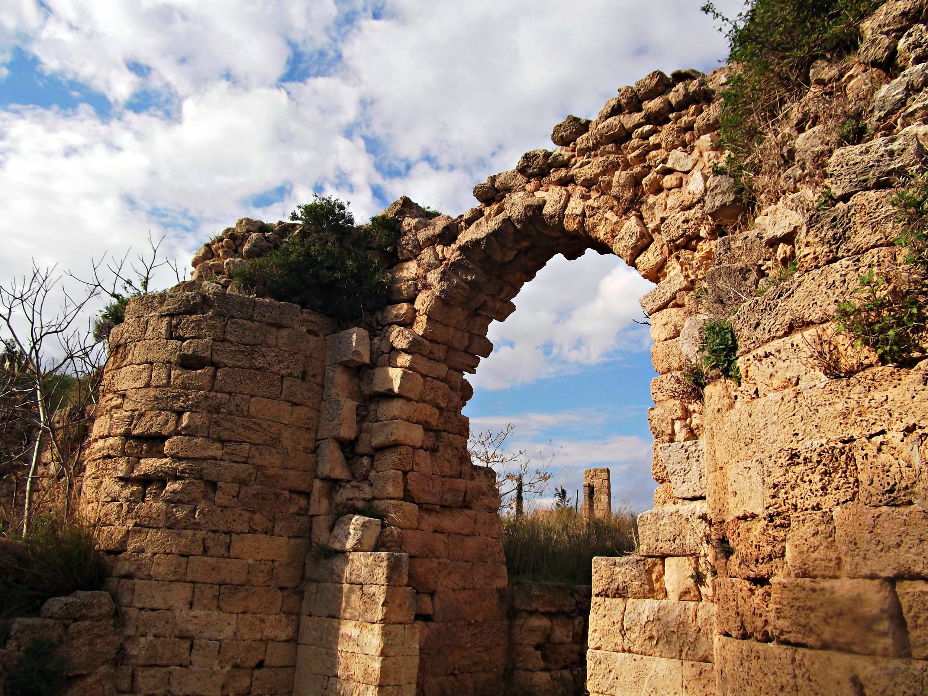
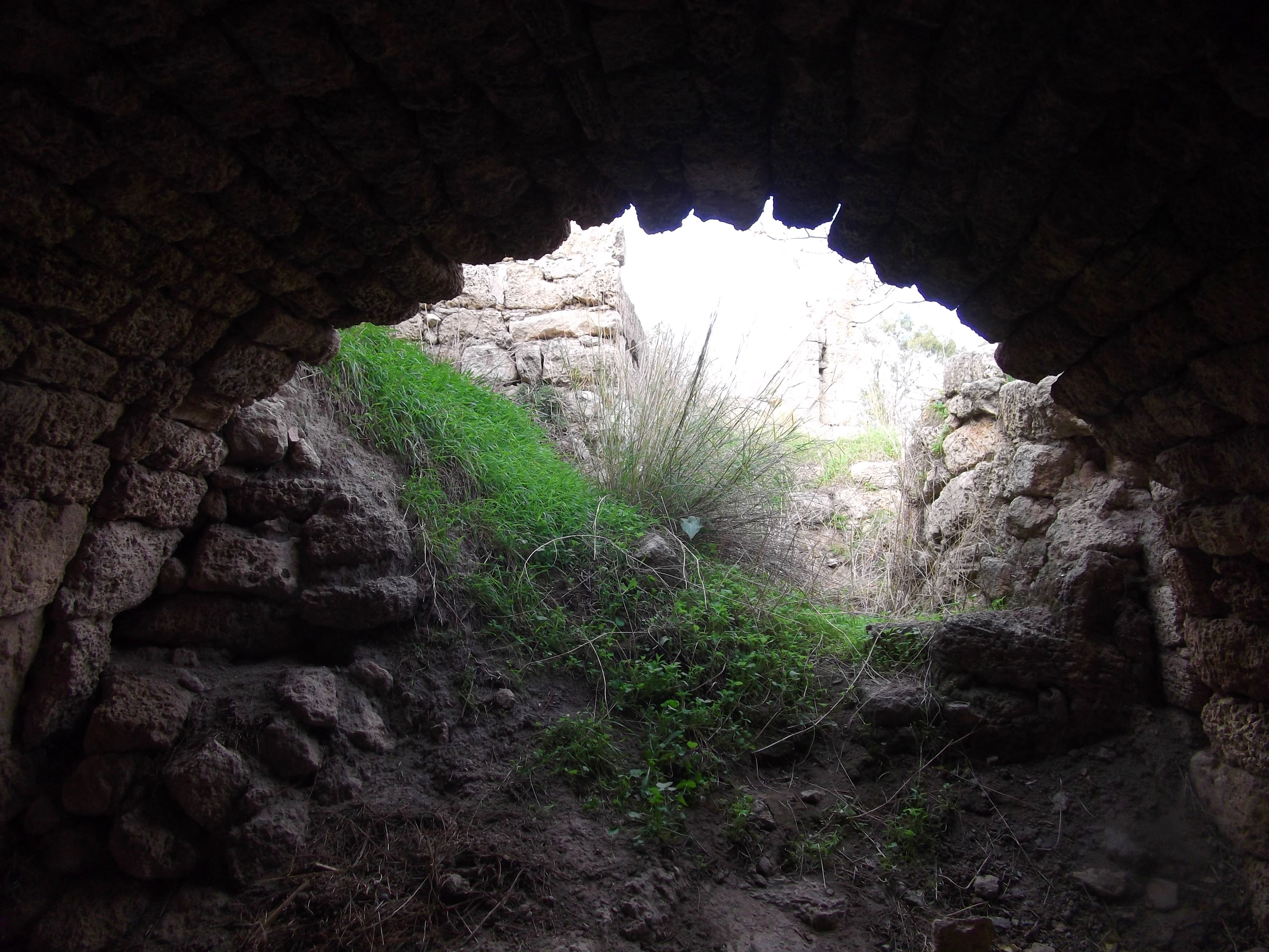
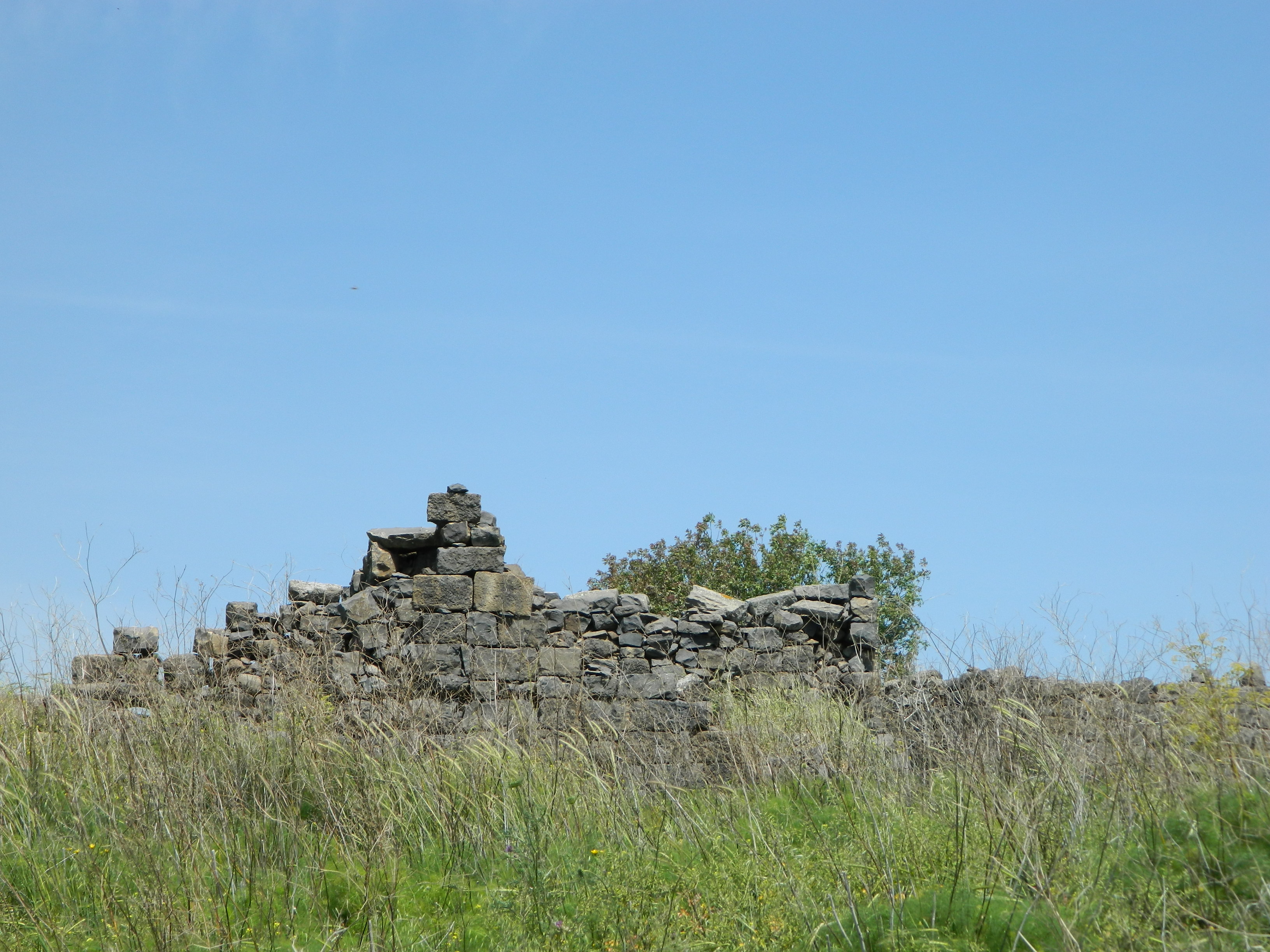
But before we reached the vultures there was the Gamla Lookout, with views of the ancient city ruins down below on the ridge. Gamla, the city, was built as a walled city dating from the times of Joshua, who led the Jewish People into the Holy Land. After capture the ruins were abandoned and then rebuilt during the Greek era. Due to the unique location of the city, being built on a ridge with only one entrance, it was named Gamla after “gamal” (camel in Hebrew), resembling the humped back, or so said Josephus. During the revolt against the Romans two thousand years ago the city was besieged by Herod Agrippa II who, subsequent to the failure of the siege, retreated.

The ridge of ancient Gamla
As a follow-up, Roman Emperor Vespasian brought an army over from Judea and laid another siege. After a month they breached the walls of Gamla but were defeated in battle. Several days later, however, the Romans succeeded in conquering the city; killing the survivors and laying Gamla to waste. The city ruins were only discovered in 1968 and despite how interesting it looked, we decided against hiking down the steep mountain path to the ruins, and continued on to see the vultures.

Depiction of the Roman siege on Gamla
Standing at the Vulture Lookout I watched an enormous Griffon vulture wheel overhead, and then two or three smaller Egyptian vultures on the far cliff face. The reason Gamla is known for its vultures is because the largest nesting colony of raptors is held on the rocky cliffs just north of the Gamla ridge. The Griffon vulture is truly a magnificent bird, with an enormous wingspan of up to 9 feet (2.8 metres) long. Although the population in Israel is quite low, just 25 pairs counted this year at Gamla so far, they are mentioned in the Bible some 28 times. I attempted to photograph both the Griffon and Egyptian vultures but my results weren’t too good so I turned to an expert, an ornithologist named Yoav Perlman who happens to take great bird photos; check out his birding blog here.

Griffon vultures at Gamla (photo: Yoav Perlman)
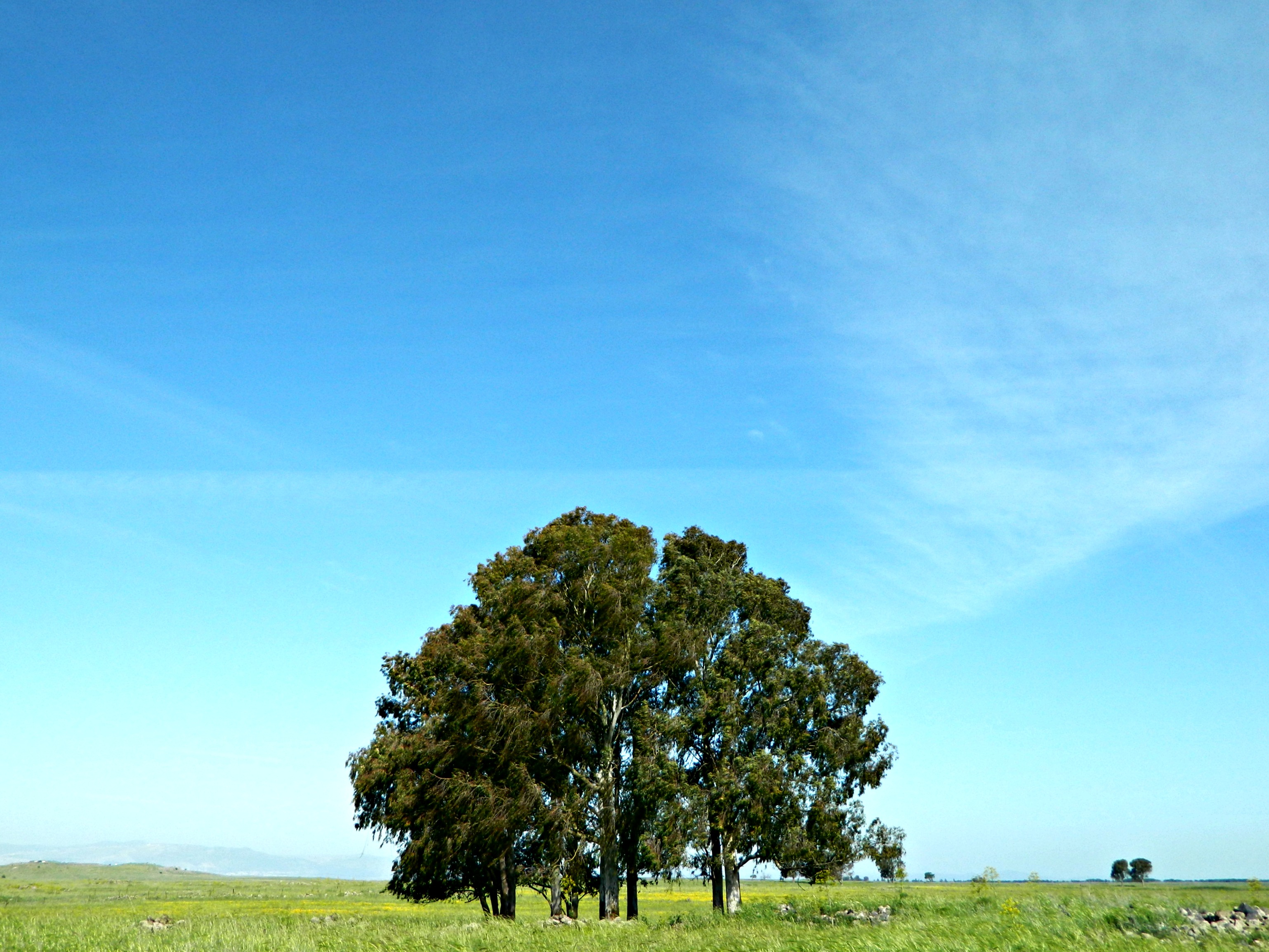
With the vulture sightings at a low, we looped back to the end of the Vulture Trail and plotted our next destination: the Gamla Waterfall.

Choosing our paths
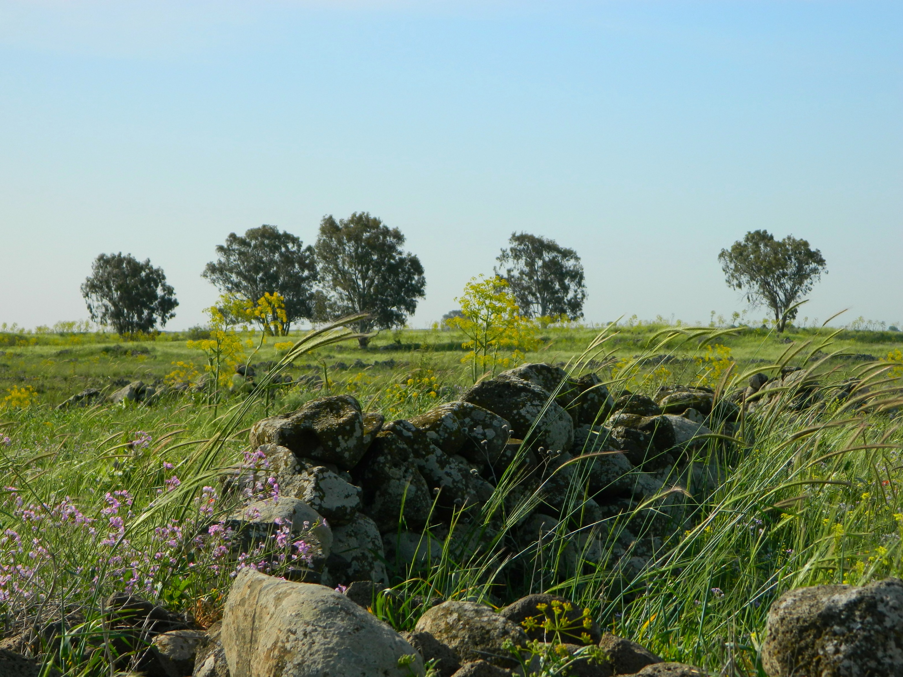
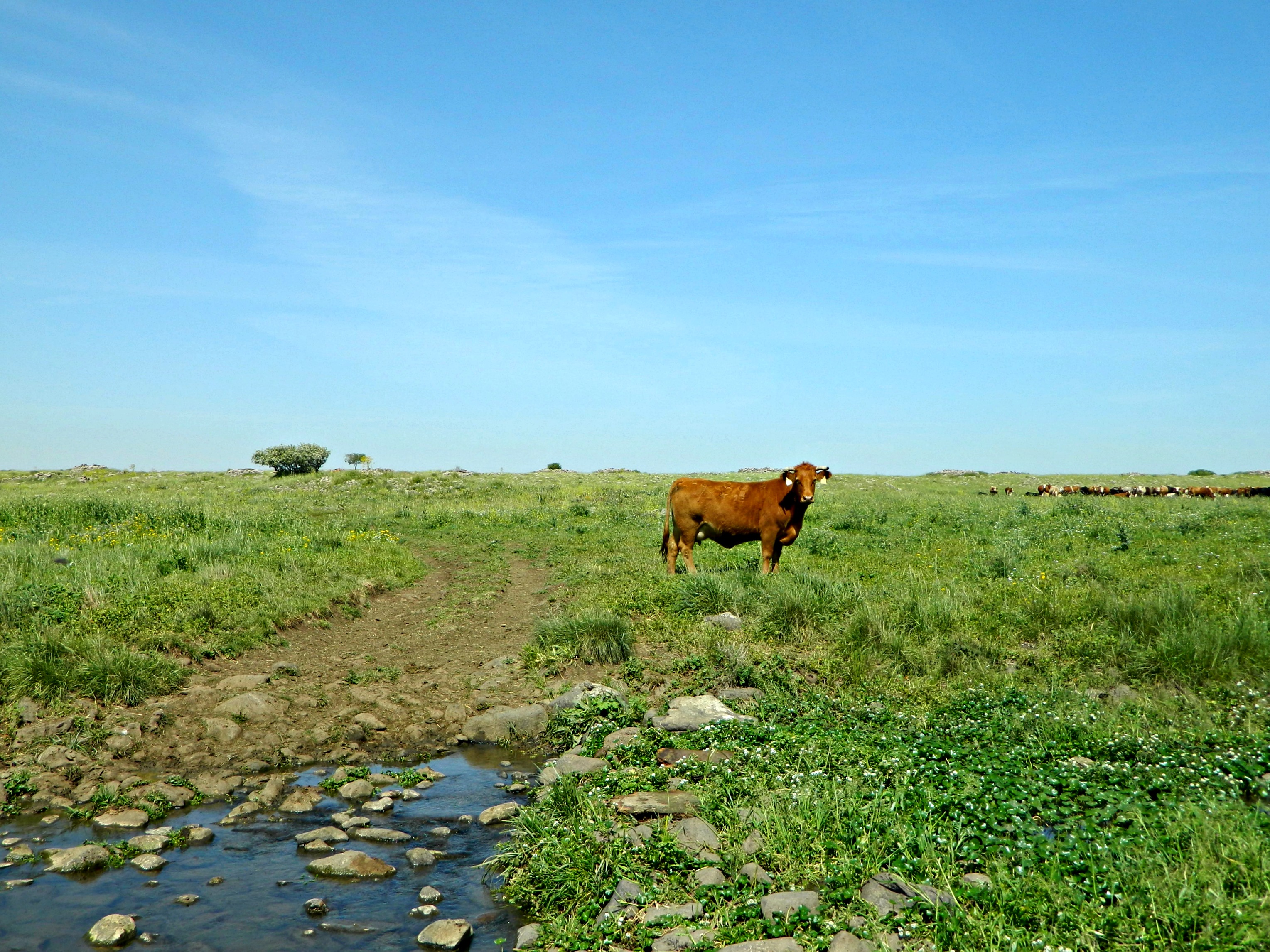
Instead of hugging the cliff edge, as would seem most reasonable, we were taken on a longer path via a field – to protect the nesting raptors. At the start of this field walk we happened upon a fence which claimed to be electrified. I had a hard time believing they’d electrify a fence that didn’t seem to have any need. Touching it, I felt a friendly little zap – it’s always good to follow your instincts. After the electric fence, there was a large dolmen on the side of the trail. Dolmens are these weird rock tables, made up of one stone laid laterally upon two standing stones. Also known as portal graves, dolmens are assumed to be gravestones of sorts, however nobody really knows. What we do know is that they can be found all over the Old World; from Korea to Israel, from Somalia to France – they are truly all over.

A dolmen
Soon we were headed for the cliff edge and the sound of running water filled the air. Here we were standing on a little wooden bridge over the calm upper Gamla Stream before it continued over the cliff edge:

Standing above the Gamla Waterfall
We reached the observation point and looked down at the waterfall. The Gamla Waterfall is the tallest waterfall in Israel, at the height of approximately 170 feet (51 metres).
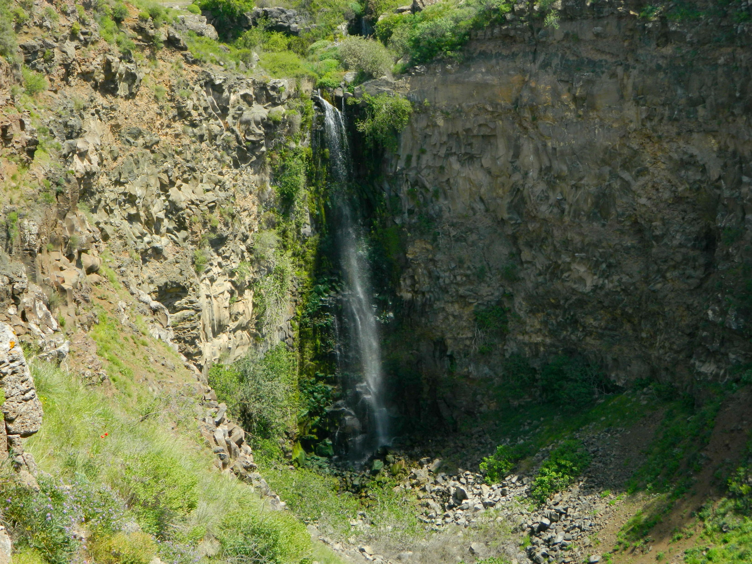
The Gamla Waterfall
It would have been nice to descend and to stand beneath the crushing water, but that is forbidden so we turned back the way we came. With a nice sunburn coming on we headed back to the car and headed home, but I still plan on revisiting Gamla to explore the ancient city ruins to write another blog post: Gamla II.