To celebrate my two-year anniversary with the IDF, and because I had a convenient ride, I took a little trip to the Israel Railway Museum in downtown Haifa. Having been on my to-see list for several years now, the train museum was even more interesting than I had imagined it would be. Located at the old railway station of Haifa East, the museum incorporates both the remains of the Ottoman train station that was built as an important rail hub in the Holy Land and remnants of the local train history leading up to today.

Israel Railway Museum
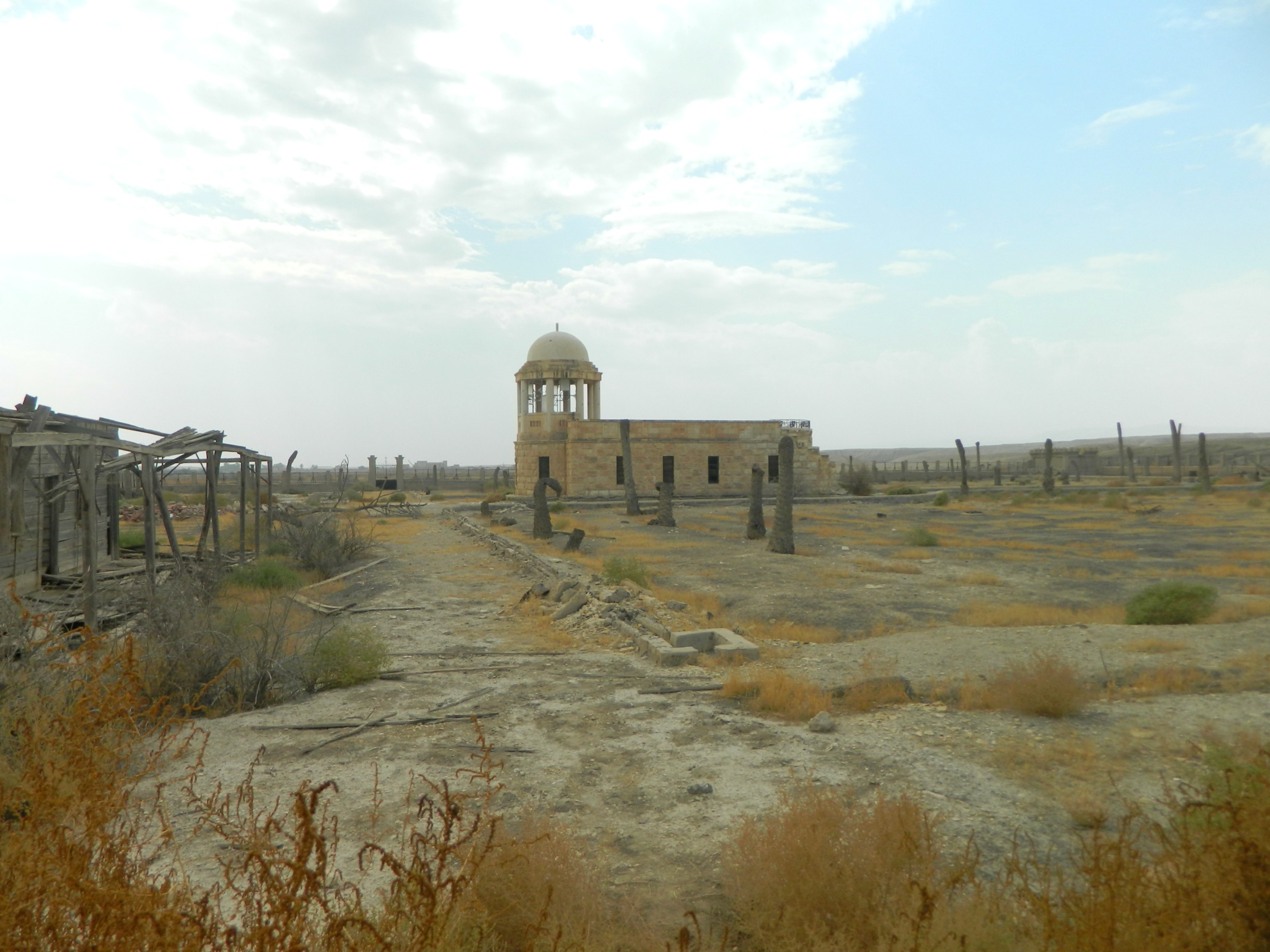
The first local train line opened up by the Ottomans between Jerusalem and Jaffa in 1892. Throughout the next few decades, the trains began to criss-cross the country and offered transportation to cities such as Damascus in Syria, Amman in Jordan and El Qantara in Egypt. At the time, the Hedjaz Railway ran pilgrims making hajj from throughout the Ottoman Empire to Islam’s holy cities Mecca and Medina in the Hedjaz region of today’s Saudi Arabia. Haifa East was a station for the Jezreel Valley branch of the Hedjaz Railway, most of those tracks now lost to history.
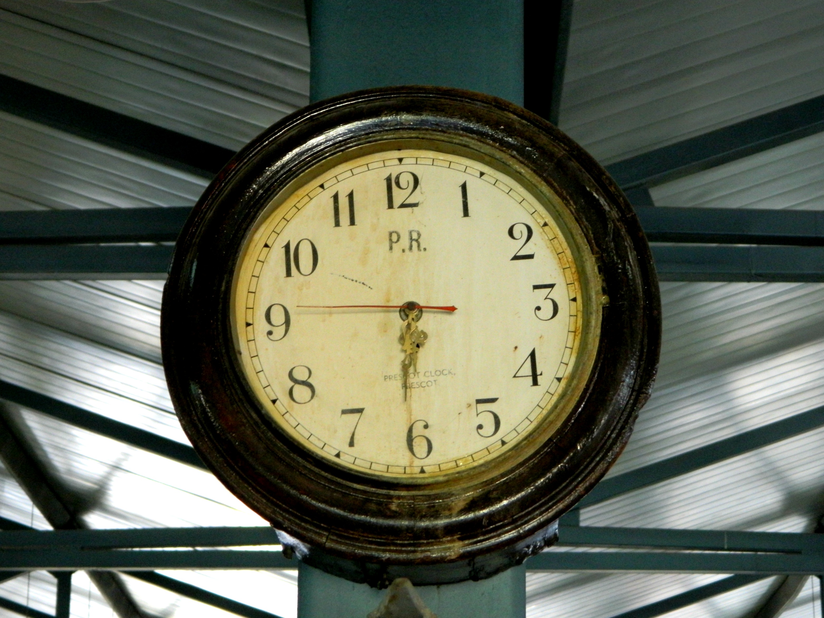
Old train station clock
During World War I, the tracks were used by both sides: the Germans and Turkish to move troops and supplies and then at the end of the war by the British to ferry injured soldiers as the Germans and Turkish were expelled. Interestingly enough, the British actually bombed the Afula station which headed for Transjordan – which brings to mind The Train. After the Great War, the British ran Palestine Railways and luxury coaches were added to the standard passenger and freight trains. In the 1930’s, during the time of “The Disturbances”, Arabs would sabotage the trains and train-tracks in protest of both the Jews and the British. Rolling concrete bunkers were used to patrol and protect the tracks, the British soldiers armed with guns and ready for trouble.
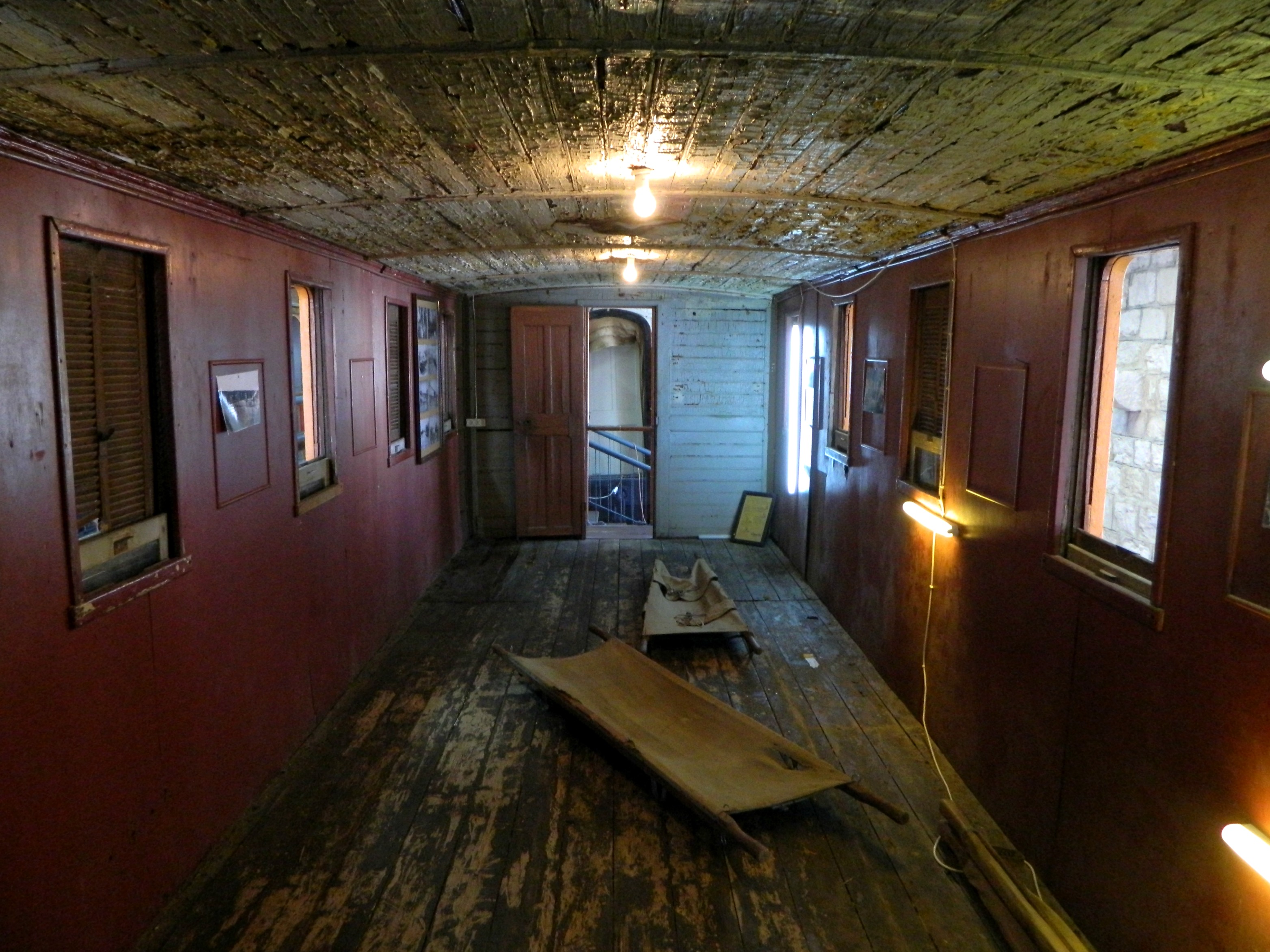
1893 ambulance coach from WWI
After World War II, when the Jews struggled for independence the British trains became targets as both military sabotage and then, with the British leaving, to prevent the neighbouring Arab armies from invading Israel via rail (such as the bridge near Achziv). The trains were also used by the British to transport Jewish refugees from the ports and beaches where they landed from sea to the Atlit “Illegal” Immigration Camp. Once independence was established, the train lines were restricted to just safe Israeli stations and as the fledgling country developed and grew, Israel Railways incorporated captured and purchased train cars and engines. Today the trains are a crucial part of public transportation and I myself have ridden the train to all ends, north and south.

Halt!
With the Holy Land’s train history covered, I shall now describe my visit. Paying the discounted soldier’s entrance fee, I was immediately directed to Coach no. 688, a British-built passenger car from 1970, where a short film was to be played. Sitting down in a normal coach, I watched a old black-and-white film about the transition from steam locomotives to diesel engines – interesting.
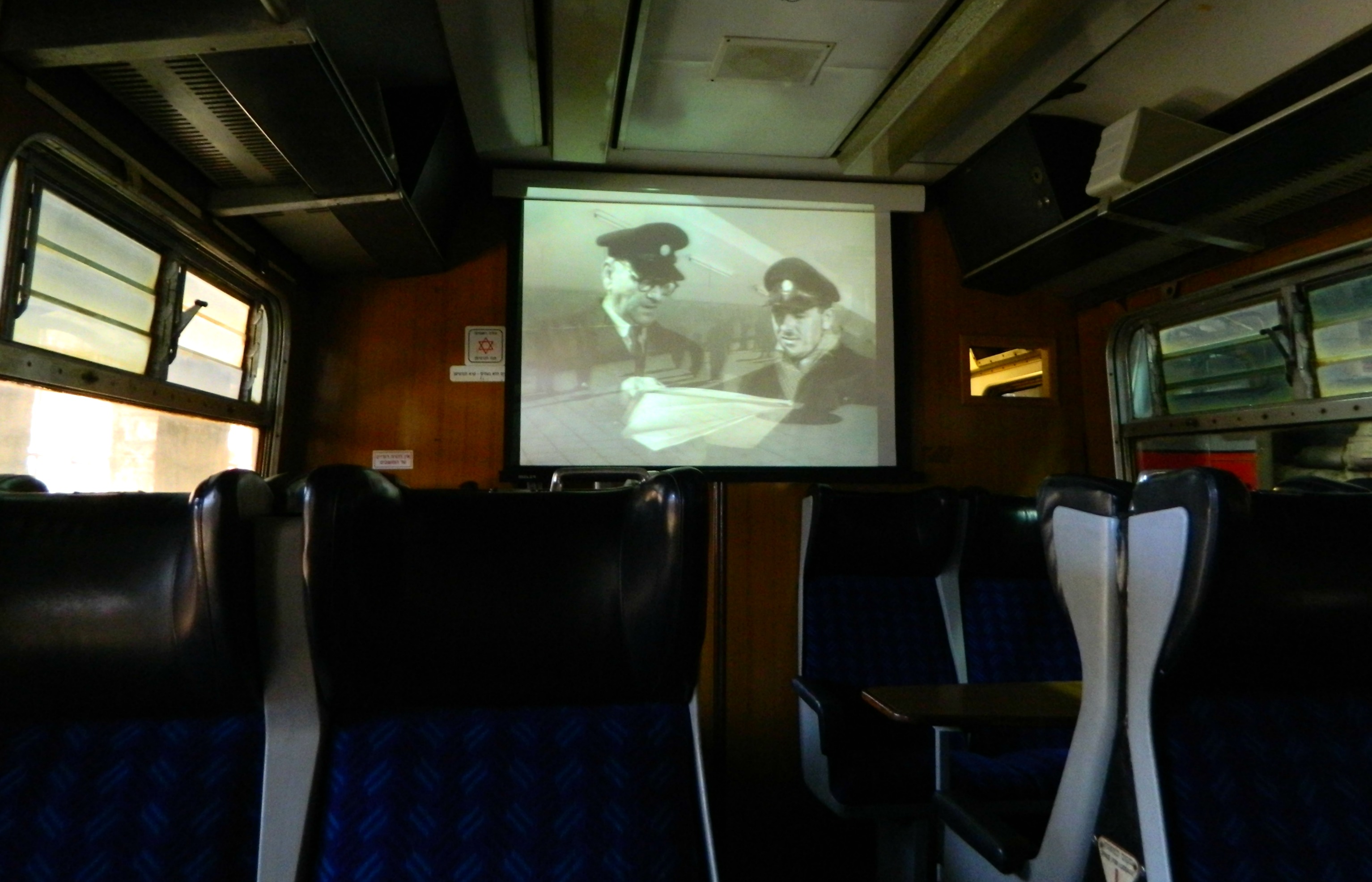
Watching the short film
Disembarking, I began my self-guided tour of the various train cars and engines, including a 1902 Class 0-6-0 locomotive from Krauss, Germany and an 1893 passenger coach built by Baume et Marpent in Belgium and used by the British in WWI to evacuate wounded soldiers to Egypt. But my favourite train car was the luxurious Saloon coach no. 98 built by Birmingham RC&W Co. of England, used as a day saloon from 1922 till 1929 and then as a night saloon from 1929 till the mid-1960’s.
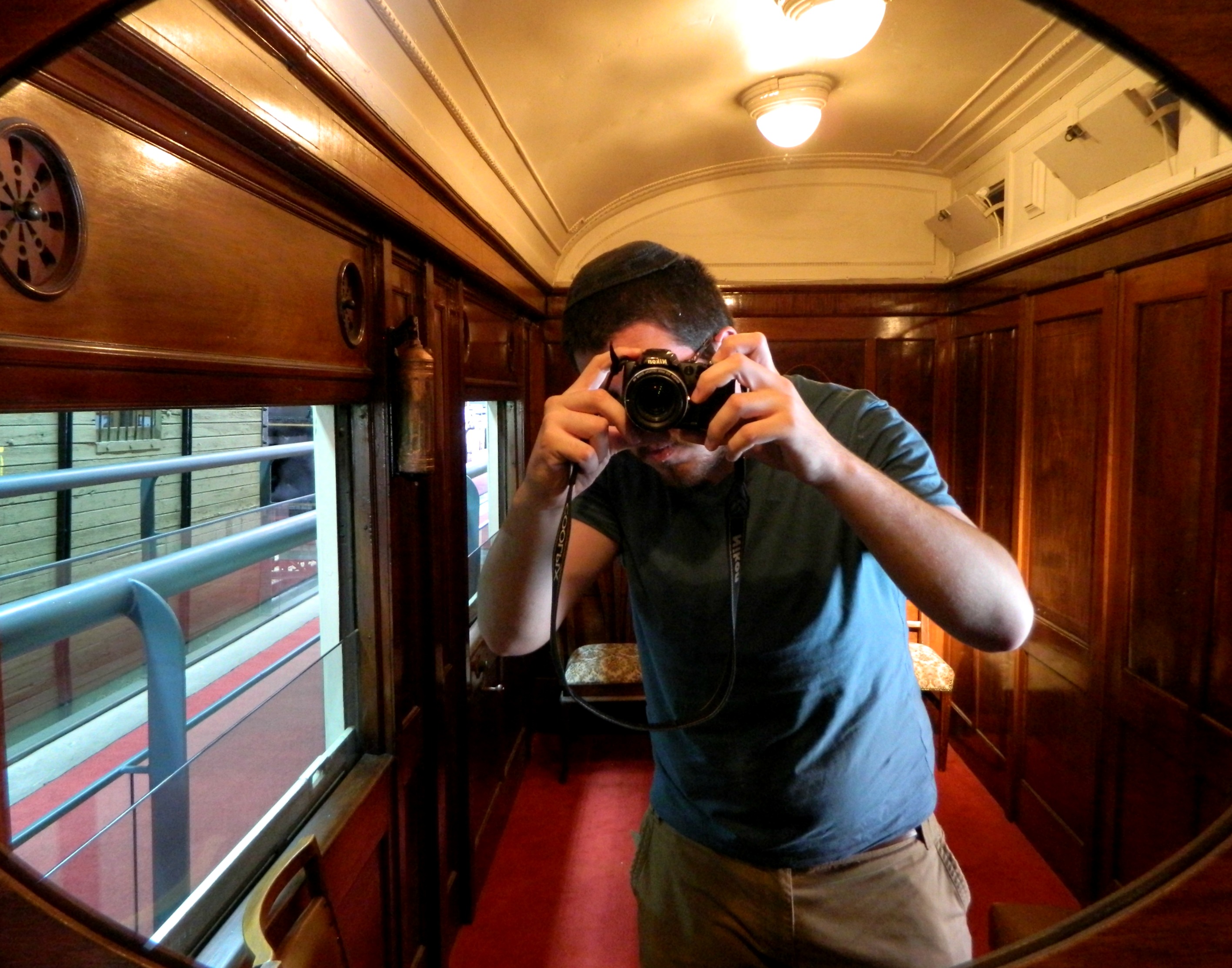
Enjoying myself in the luxurious saloon
From the moment I entered the narrow wood-paneled corridor, I felt like I was living the classic Poirot murder mystery Murder on the Orient Express, albeit all by my lonesome.

British saloon coach
Stepping outside, I examined the numerous trains on the many sets of tracks of Haifa East. The concrete bunker car from the 1930’s, which I mentioned above, was pretty interesting. Being that the modern train-line runs past the museum, it was interesting to note the contrasts of train types throughout the years. A particularly shiny and new-looking Israel Railways train was “parked” a few tracks over from the furthest museum piece, I wonder when that will enter circulation…

Coming from the east
There was such a colourful view looking westward over the tracks, with the trains, the trees, the orange rooftops and of course, the wonderfully blue sky:

Heading to the west
Finished with the outdoor section, I crossed back over the red metal bridge from where I came and entered the museum’s small exhibits building. Within, I saw innumerable documents, photographs, old tickets, stamps, work tools and models. With my father coming for me, I just breezed through, eyeballing only the most interesting pieces in the main room and the two antechambers. Leaving the museum, I spotted the Turkish monument erected in 1905 for the opening of the railroad station just outside the front gate:
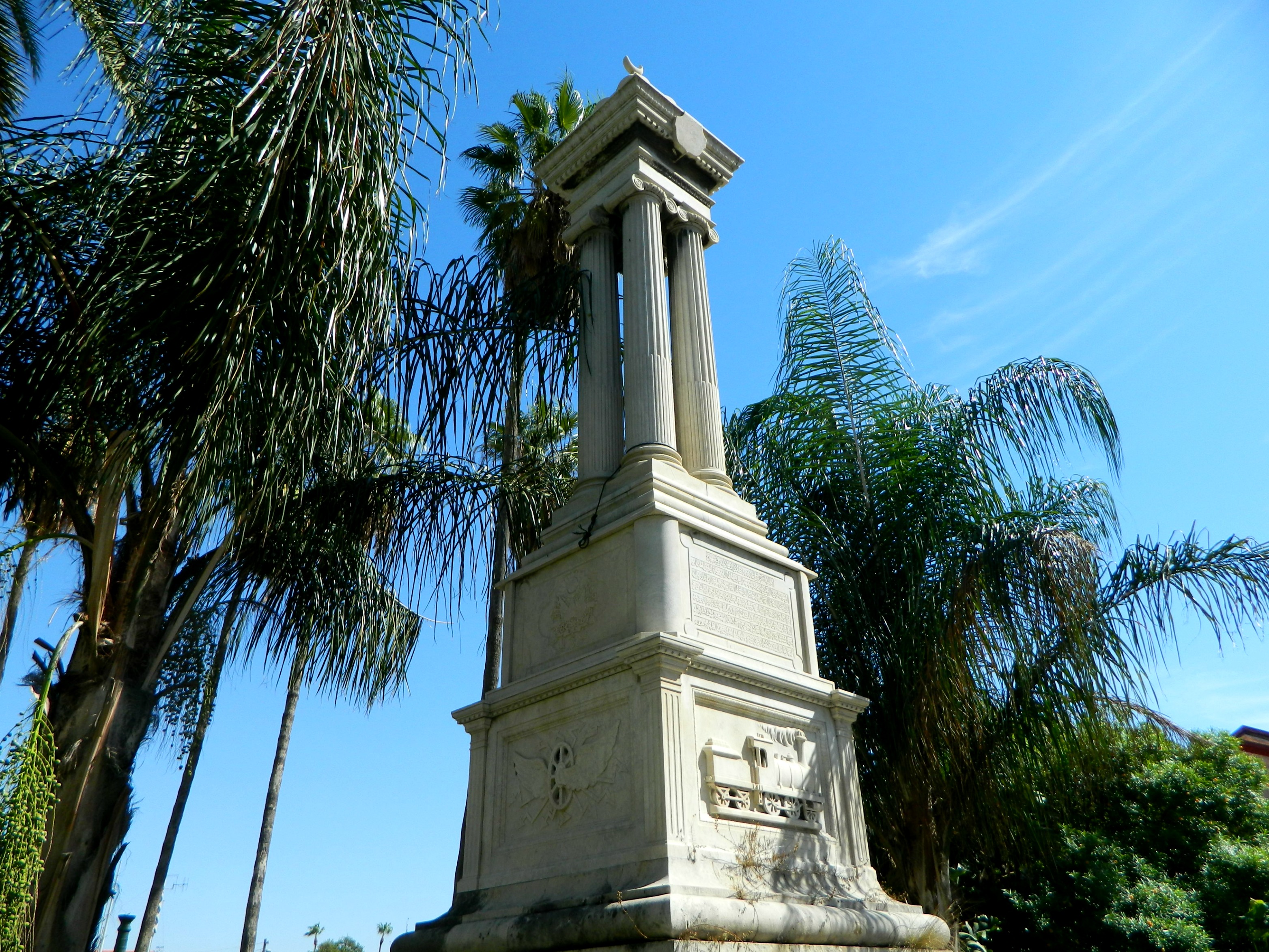
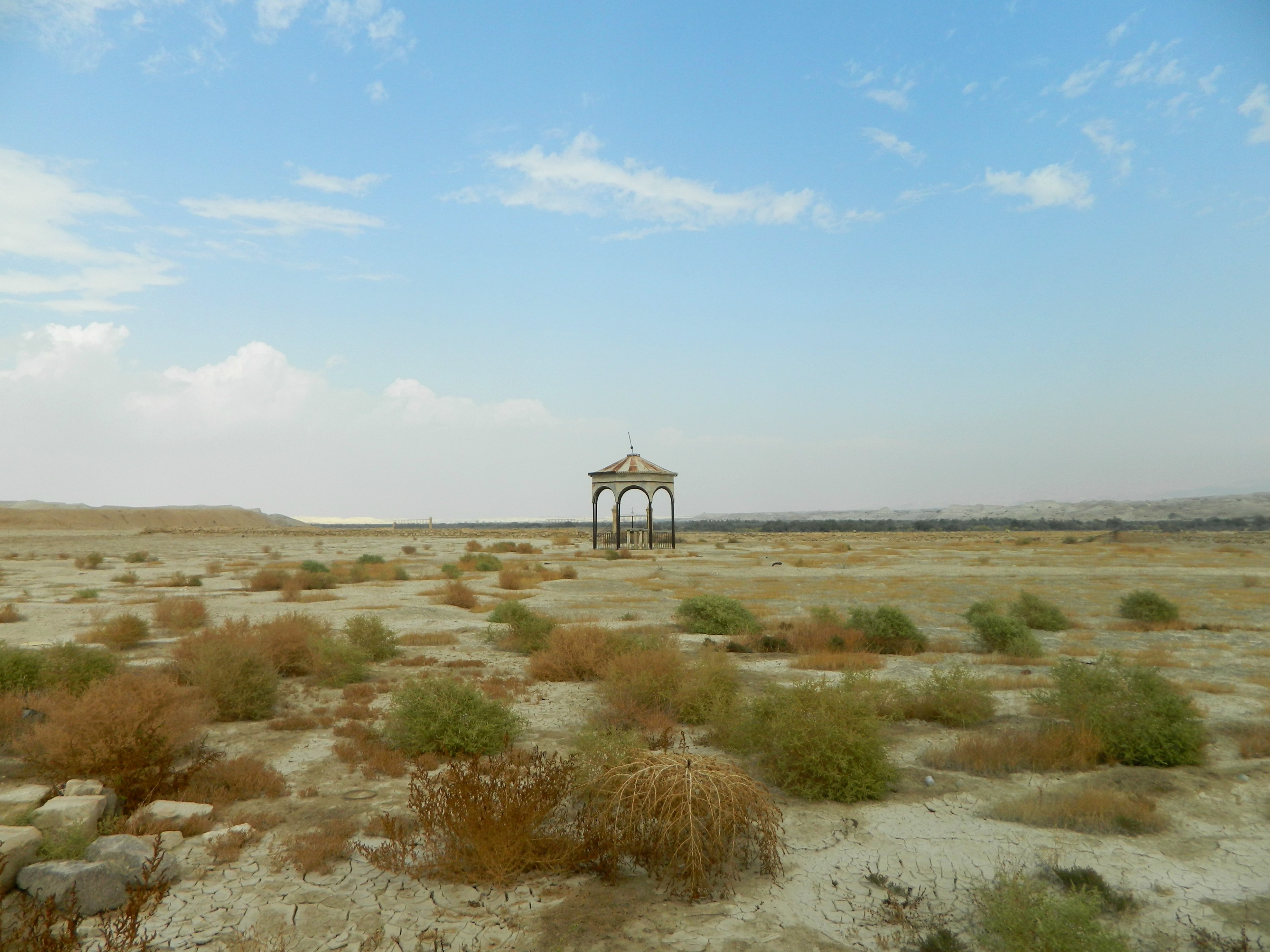
Turkish monument from 1905
In summary, the Israel Railway Museum is definitely worth the visit, all the more so for children and train enthusiasts.