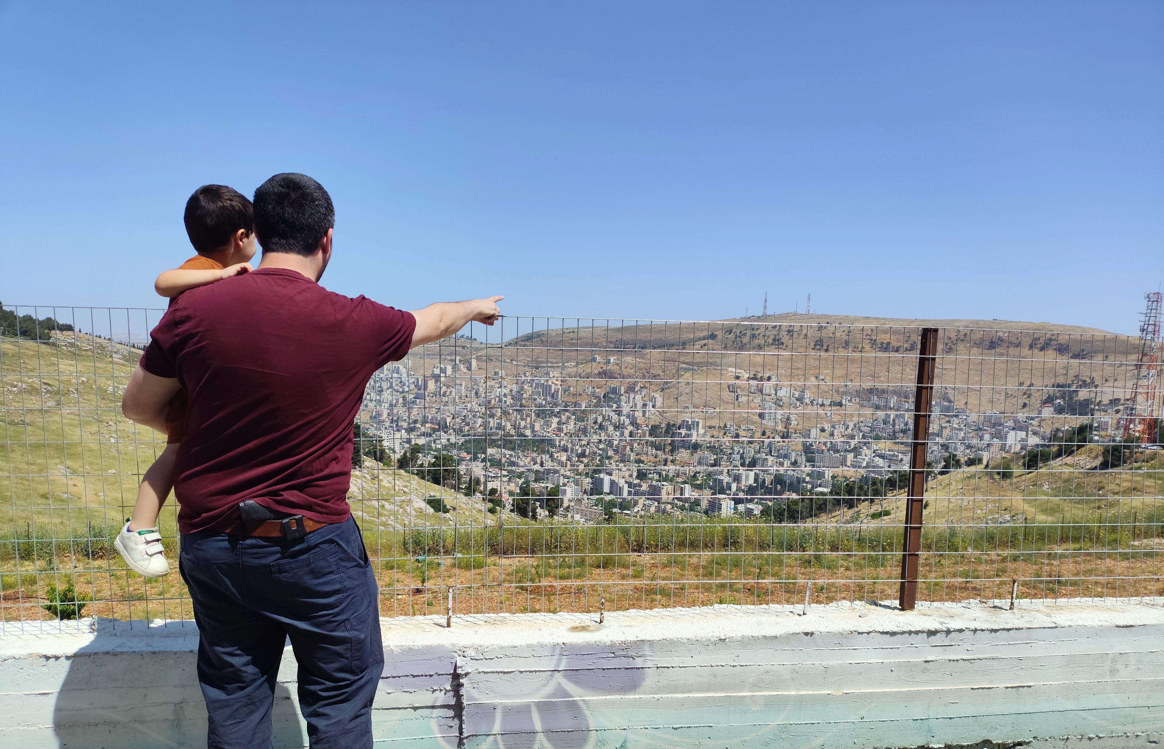
In the middle of January, mere weeks before our second son, Shaked, was born, I took the day to explore some lesser-known museums in Jerusalem’s city centre. One of the main reasons I wanted to visit these museums was, in fact, my younger brother Nissim, who works at the Friends of Zion Museum, the subject of this blog entry. After hearing of his experiences guiding and interviewing world figures, I decided that it was high time that my presence be felt as well. I took a morning train into Jerusalem, and emerged from the depths of the Yitzhak Navon train station into the crisp winter air that greeted me fondly.
Entering the Friends of Zion Museum
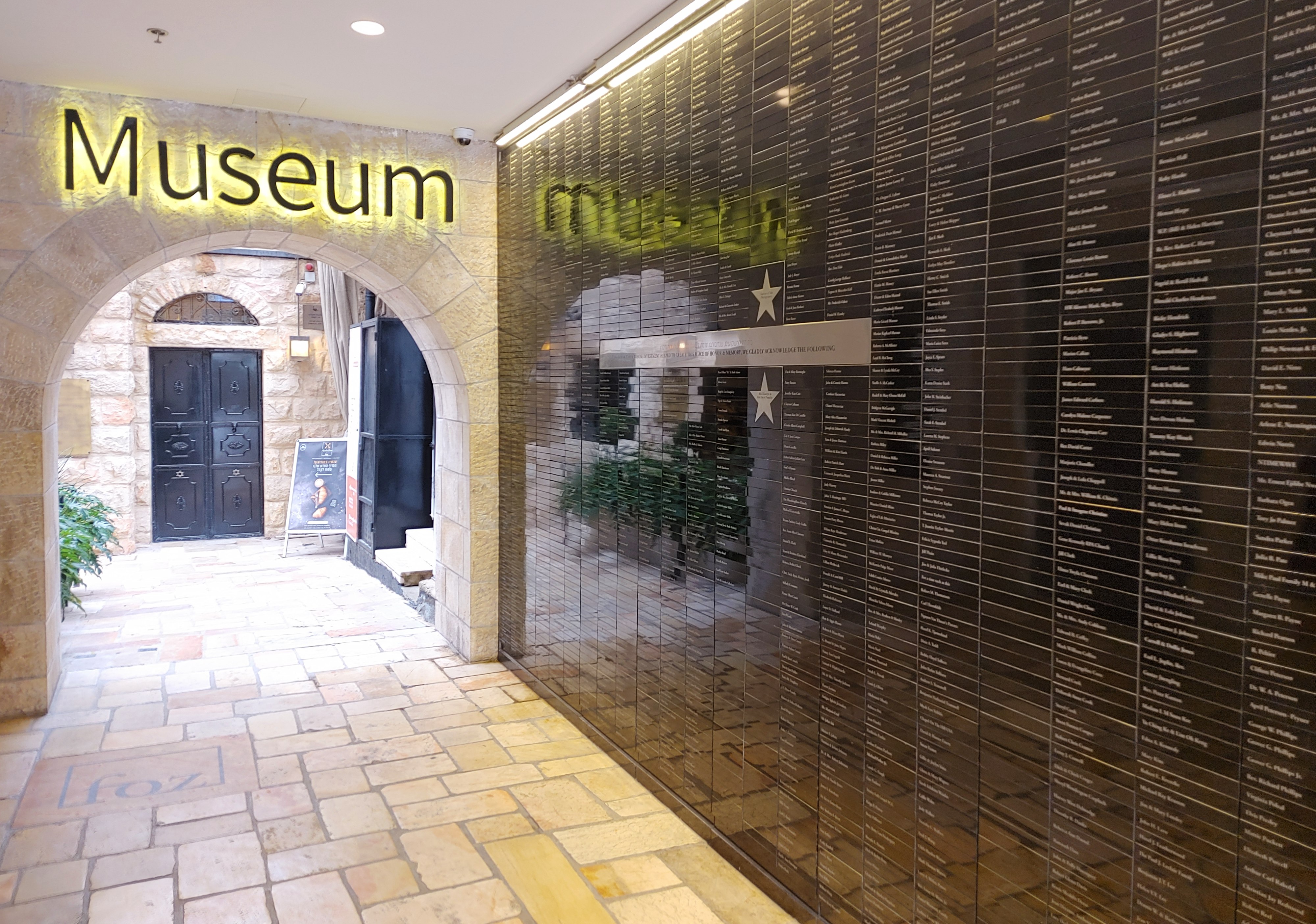
Hopping onto the popular light rail, it wasn’t long before I found myself in the city centre staring down a sign that read “Friends of Zion Museum”, indicating access via a side entrance. Nissim emerged from within and began showing me around, introducing me to the friendly staff and security guards ensemble at the entrance. When he guided me to the main entrance of the Friends of Zion complex (styled as FOZ), I was suddenly struck with an old memory of Bracha and I taking shelter from rain or wind sometime back when we were still dating. I recalled us waiting for the weather to subside and reading from the worldly list of names adorning a wall of commemorative plaques.
A virtual tour of the Holy Land with the museum’s founder
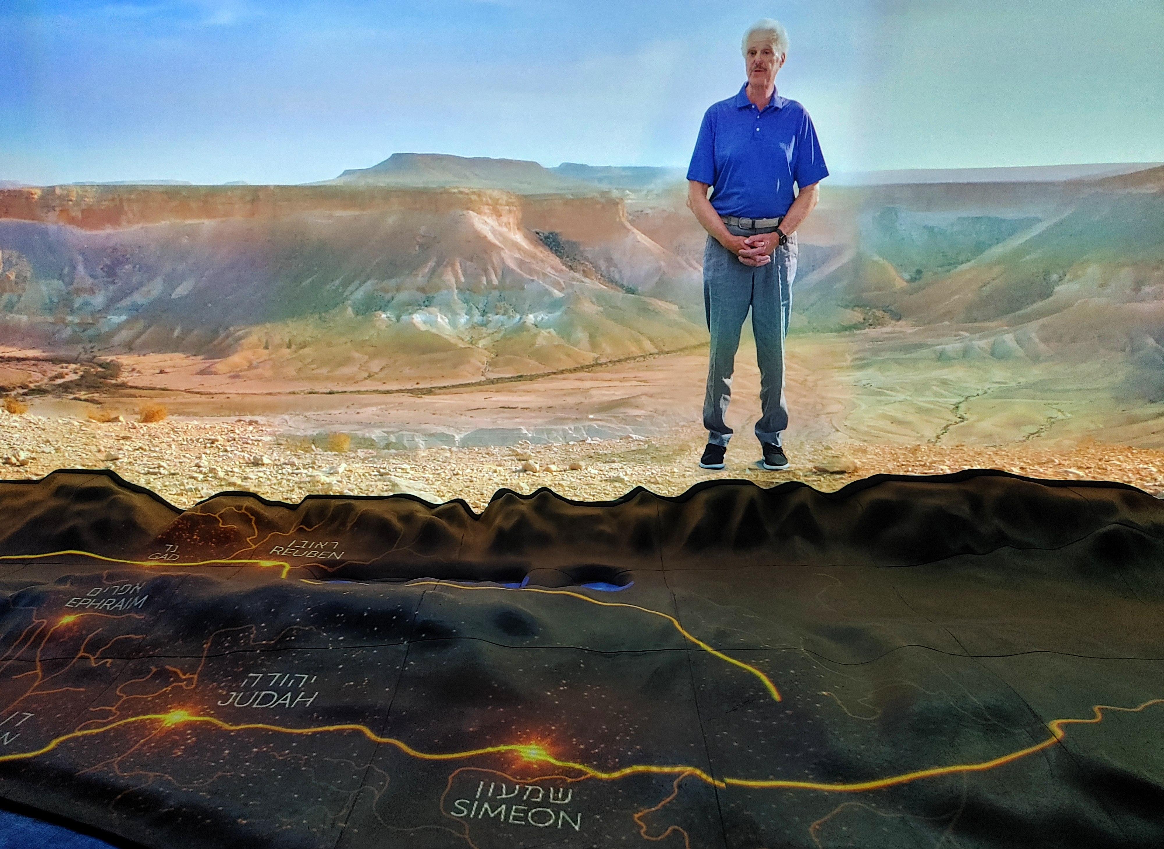
Returning to the museum, Nissim had me pose for a picture of me superimposed on the Jerusalem cityscape (which I was later to receive as a magnet), and then began the tour. A trained guide, he led me with pride and confidence, introducing me to the museum’s many technologically advanced exhibits. As a general theme, the museum is quite dark with walls painted a particularly absorbing shade of black. Thus, capturing adequate pictures to represent my visit was a bit of a challenge – but I tried my best. We started with the “Land of Promise” exhibit, where a glowing orange line spread over a 3D model of the Holy Land, complete with wide-angled scenic shots and a word of introduction by the founder of FOZ, Mike Evans. Once we had virtually toured the land, we stepped into a discombobulating elevator and emerged on another floor for the second exhibit, a wide wrap-around screen that artistically reviewed the biblical connection to the Land of Israel complete with underfloor lighting that flashed intermittently, dramatising the saga.
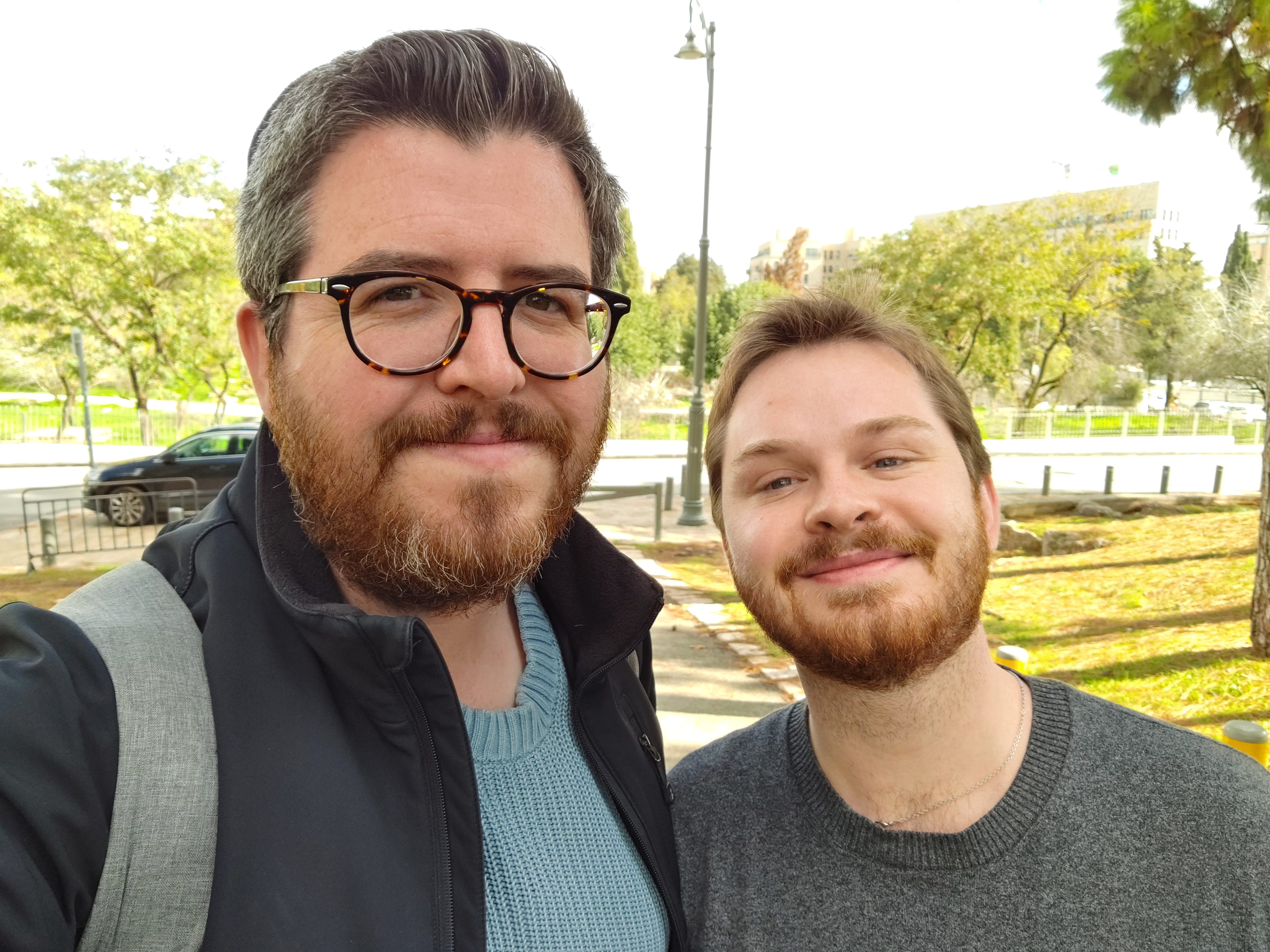
Trusty guide Nissim
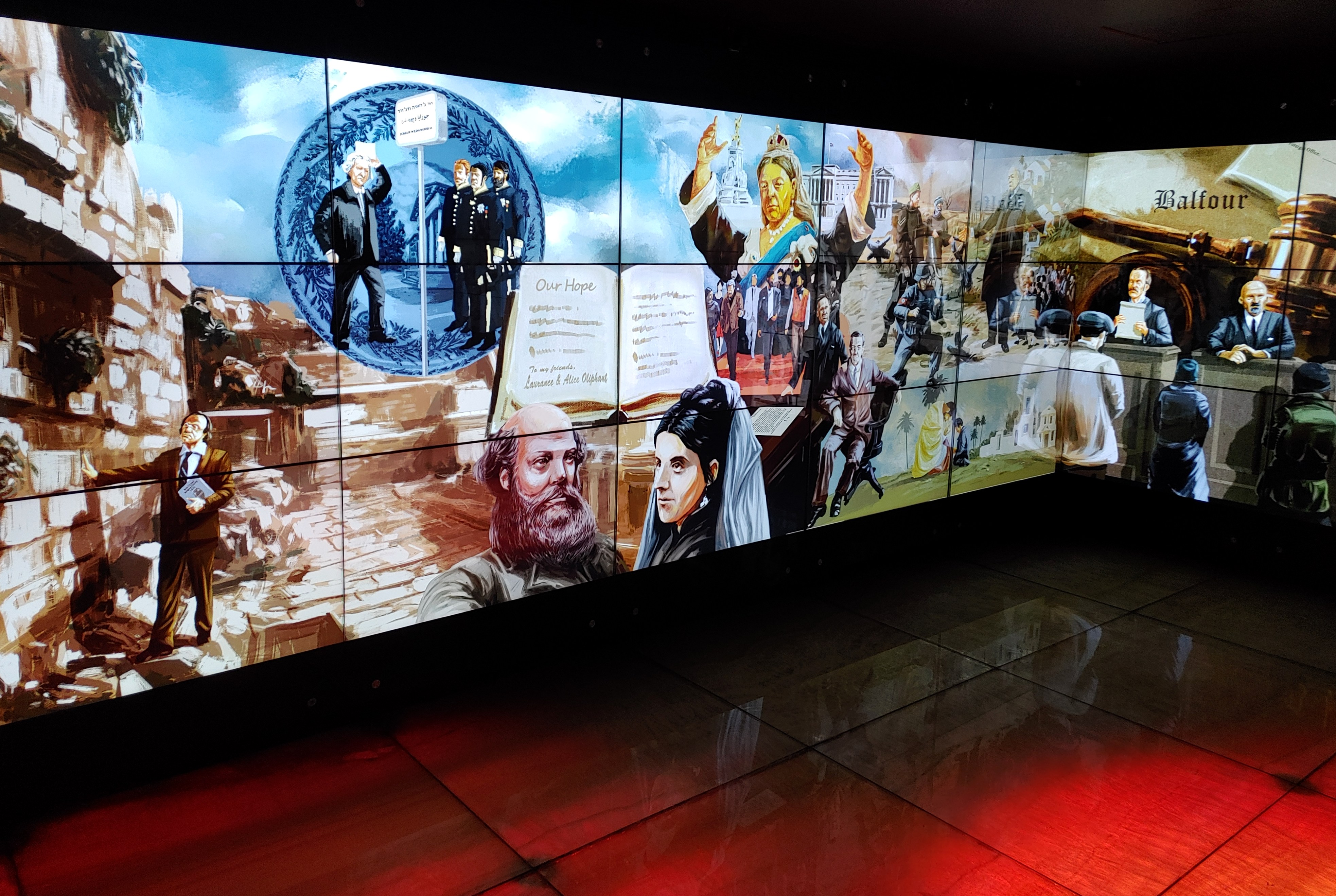
The next exhibit, dedicated to the “Dreamers” focused on the non-Jewish historical characters who championed the idea of a resurrection of a Jewish homeland. Geometrically-compelling sculptures were illuminated before my eyes in the darkened room, overlaying a story that speaks of support and admiration for the eternal people. A voice spoke to me, harkening from a curious plastic bowl, inverted from the ceiling, reminiscent of the iconic “cone of silence” from the comedic Get Smart TV show (and subsequent film).
Early Christian Zionists
I learned about a number of historical figures, including the Dutch ten Boom family and one Professor George Bush (a distant relative of the recent Bush presidents) who called for elevating the Jews and returning them to the Holy Land, presuming that the majority who also then convert to Christianity. From the dreamers we turned to the “Visionaries”, a touchscreen exhibit featuring many of the non-Jews that were integral in the proclamation and realisation of the Jewish revival in the Holy Land. These famous Christian Zionists include British Foreign Secretary Arthur James Balfour, scholar Edward Robinson and an American conservationist named Walter Clay Lowdermilk (whose characterisation on screen bears a striking resemblance to Josh Brolin’s character in Hail, Caesar!).
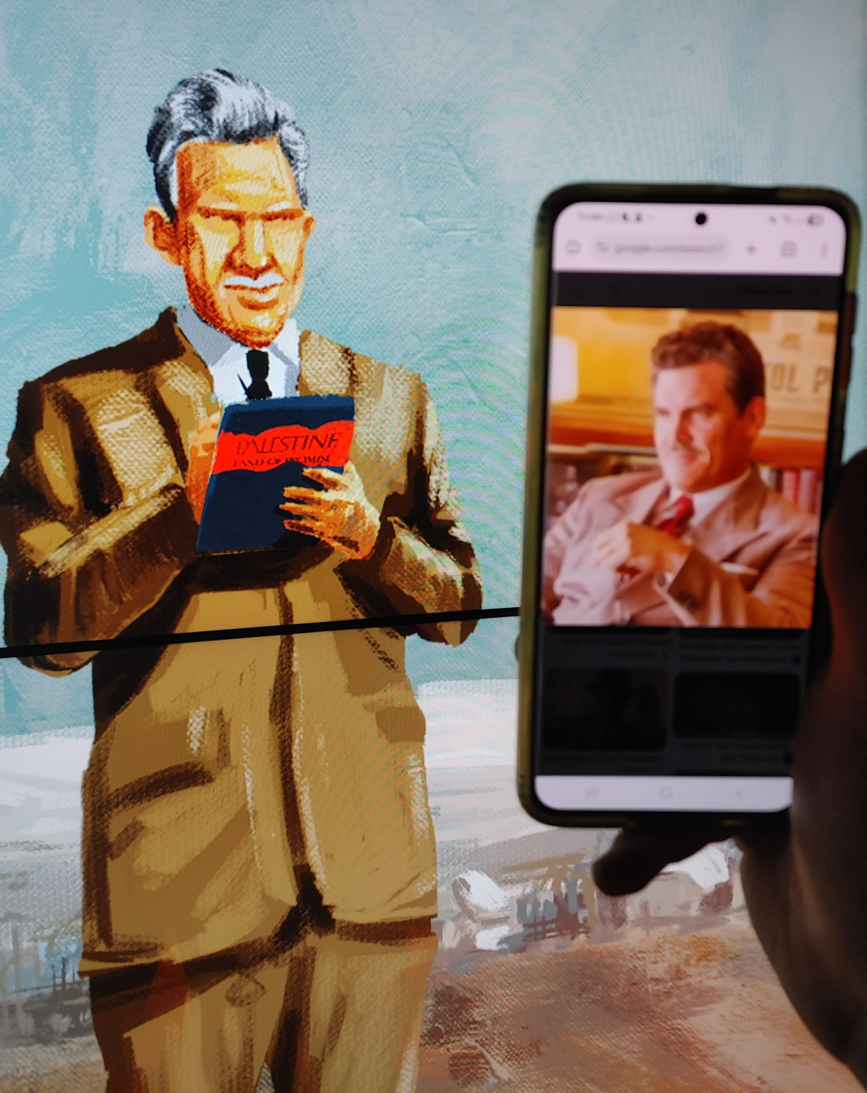
Walter Clay Lowdermilk (and Josh Brolin)
From this upbeat experience, tapping on the artistically pleasing screen and learning more about the historical characters, Nissim took me into yet another dark room. I was then taken into one of the darkest chapters of mankind, the horrors of the Holocaust, as portrayed by another wide screen – and the tiny beacons of light that cracked the permeable darkness. I learned of non-Jewish heroes like Oskar Schindler, Chiune Sugihara and the ten Boom family, each having done what they could to save Jews from extermination by the hands of the Nazis. At the end of this video, which was done very well, I was instructed to stretch out my hands and to experience having the life of one of the survivors in my own hands. I looked at my cupped hands and read out “Sol Urbach”, one of the many who were saved by Schindler.
An interactive screen of global Zionist visionaries
The next exhibit featured Christian-Zionist heroes who contributed greatly to Israel’s founding in the years after the Holocaust. I didn’t have time to speak to all of the characters, but focused my attention on Colonel John Patterson who commanded the Jewish Legion of the British army during World War I. Patterson was integral in voicing support for the Jews during the Holocaust and then working towards the establishment of the Jewish state. It is said that Yoni Netanyahu, the famous fallen hero from the Entebbe operation, was named after Patterson. I was very pleased to have chosen to learn more about this particular character, lesser-known than President Harry Truman and Major Orde Wingate.
”Here Am I” in the most unexpected way (photo Nissim Sasson)
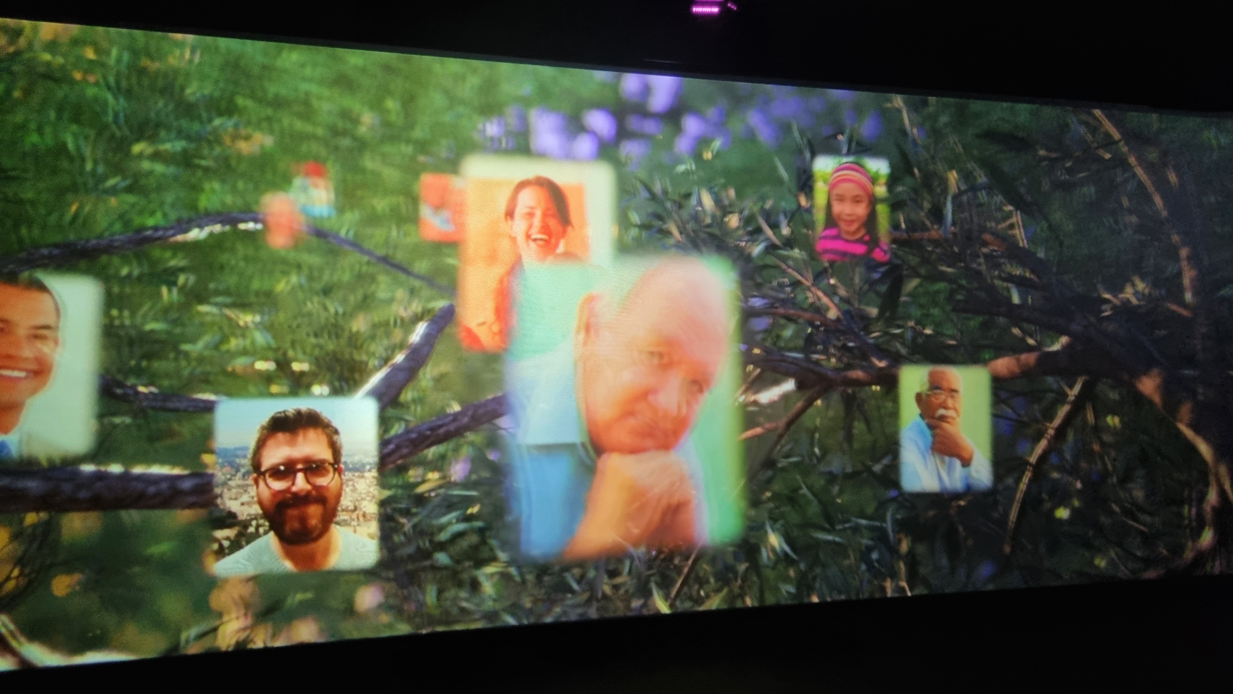
Nissim then ushered me into the final exhibit, the grand finale and call to action for friends of Zion. This time the visuals were in 3D, called the “Promise Theatre”, so I donned the provided glasses and sat back to watch the show. After running through the last generations of non-Jewish Zionists, learning more about the important historical characters, the 3D film did a great summarisation. But then, after showing the faces of all these people, suddenly the faces of modern people emerged. It took me quite by surprise when my own face appeared, floating before me, having been added to the database of Zionist supporters when I was photographed upon arrival. It had an amazing effect on me, nearly causing me to reach into my wallet to donate, but then I realised that I am not the target audience, and I already do my part for the Zionist cause.
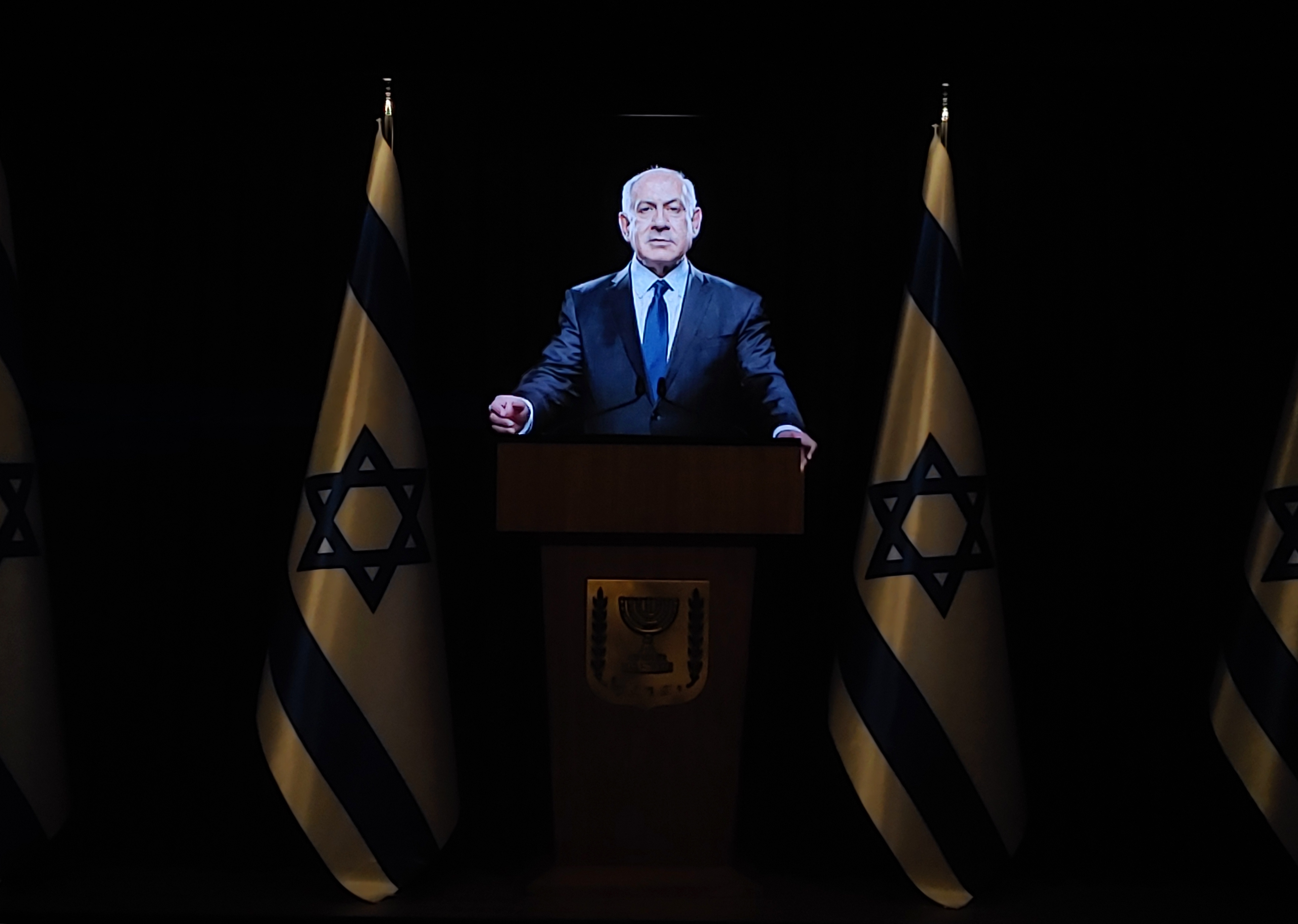
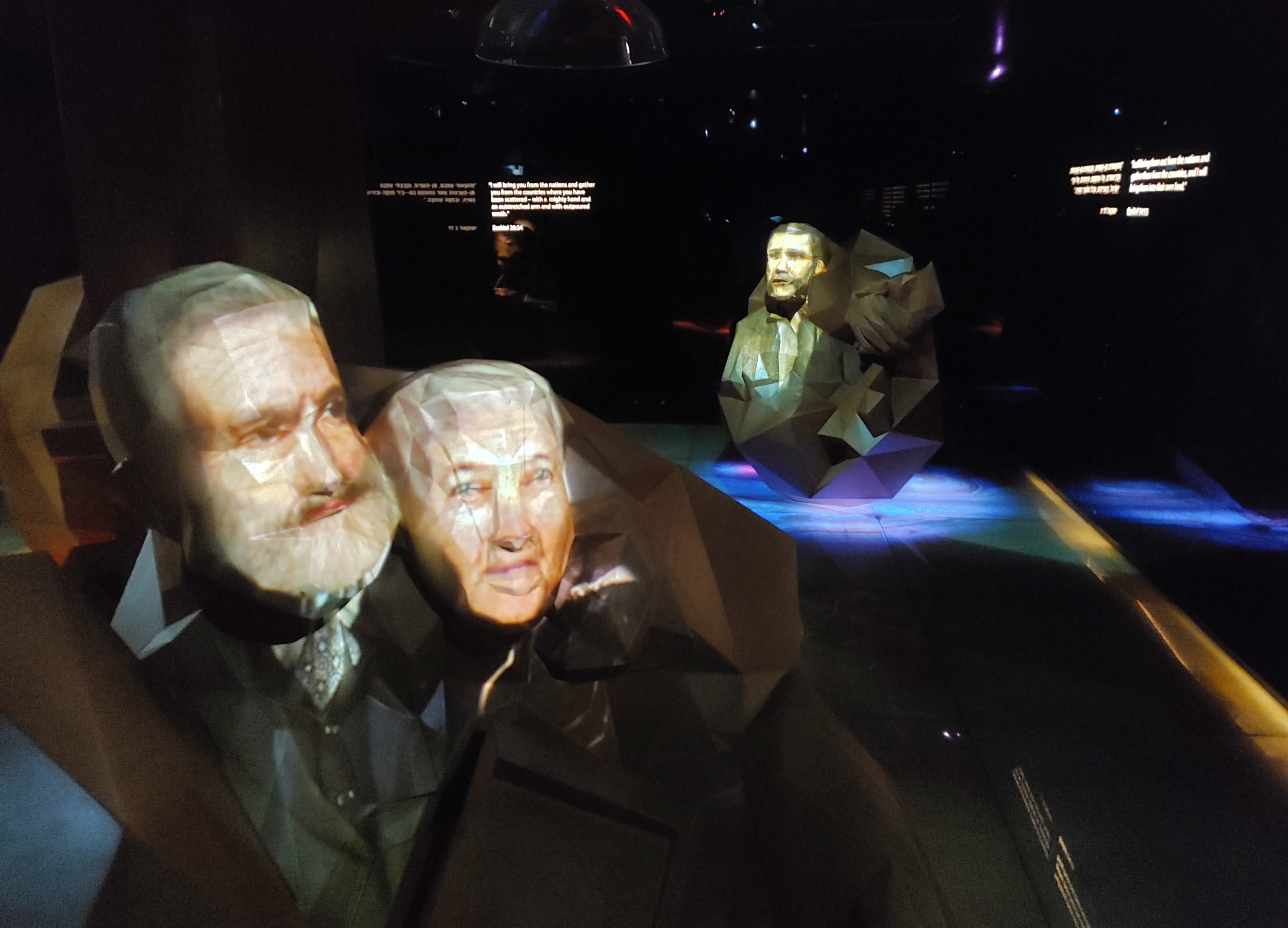
A press conference with Bibi’s ghost
Grinning foolishly, I congratulated Nissim on his tour and on this final performance, when he held up his hand and bade me to take pause. There was still one more exhibit that hasn’t been fully integrated into the museum’s itinerary, but was worth checking out. We shuffled down a floor or two and entered a mock press room featuring what looked like holograms of some of Israel’s prime ministers. Upon a closer look, I realised that they were not holograms but rather a crafty illusion known as Pepper’s ghost, where images are projected by the use of carefully-placed mirrors.
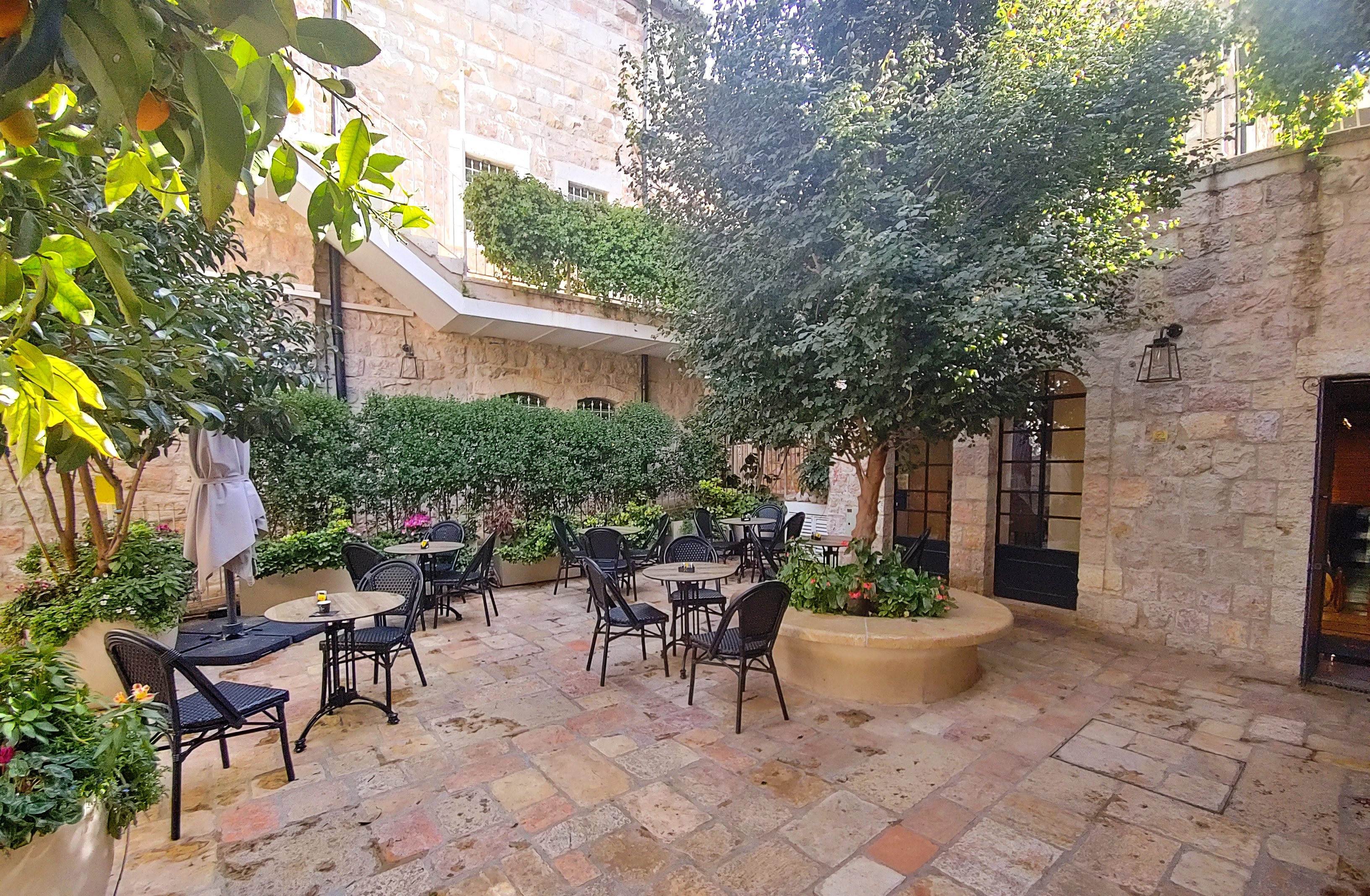
FOZ’s beautiful complex
We played around with the interactive exhibit, asking engaging (if pre-written) questions to the venerable politicians portrayed before us. When we had had enough, we headed out of the museum via the gift shop, and then outdoors to see more of the FOZ premises. There were some rentable conference halls and event rooms, all set in beautiful Jerusalem stone and decorated by ornate kumquat trees – truly a beautiful place to spend time.
Off to get some lunch
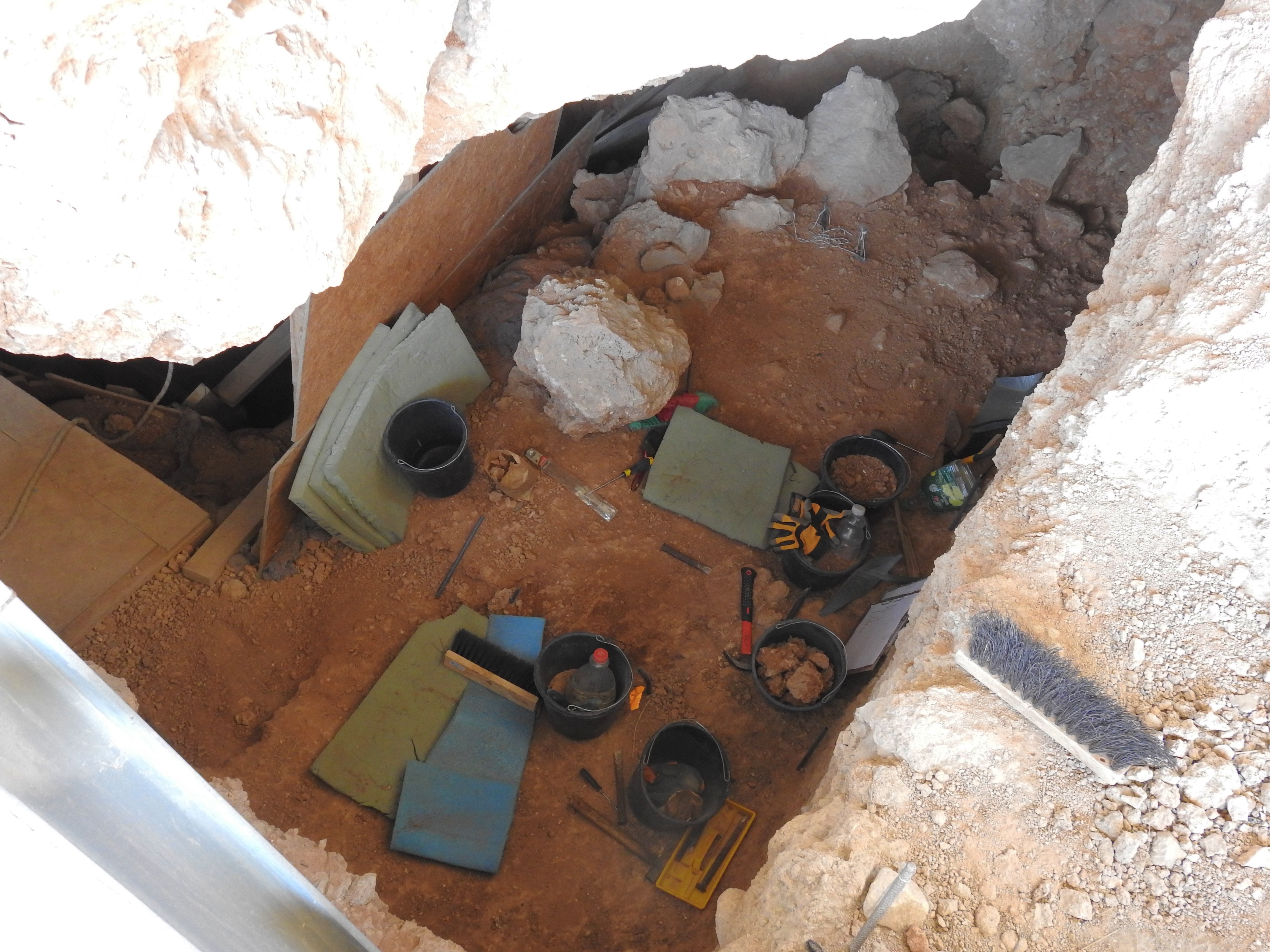
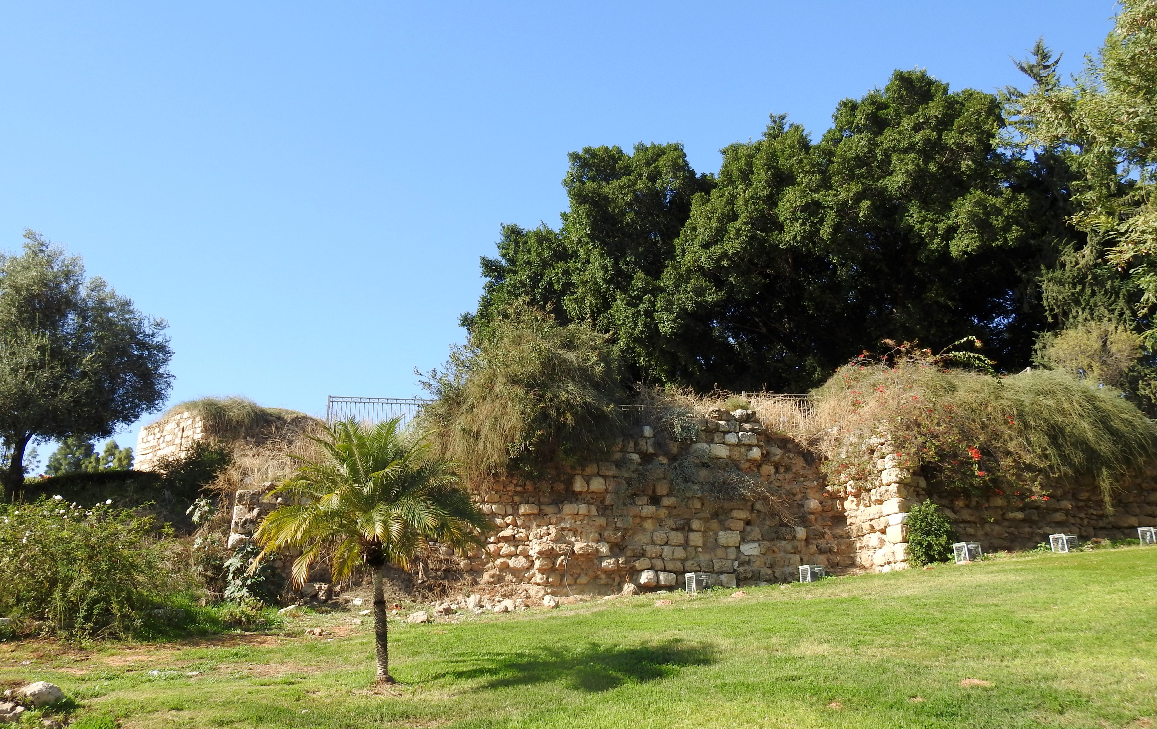
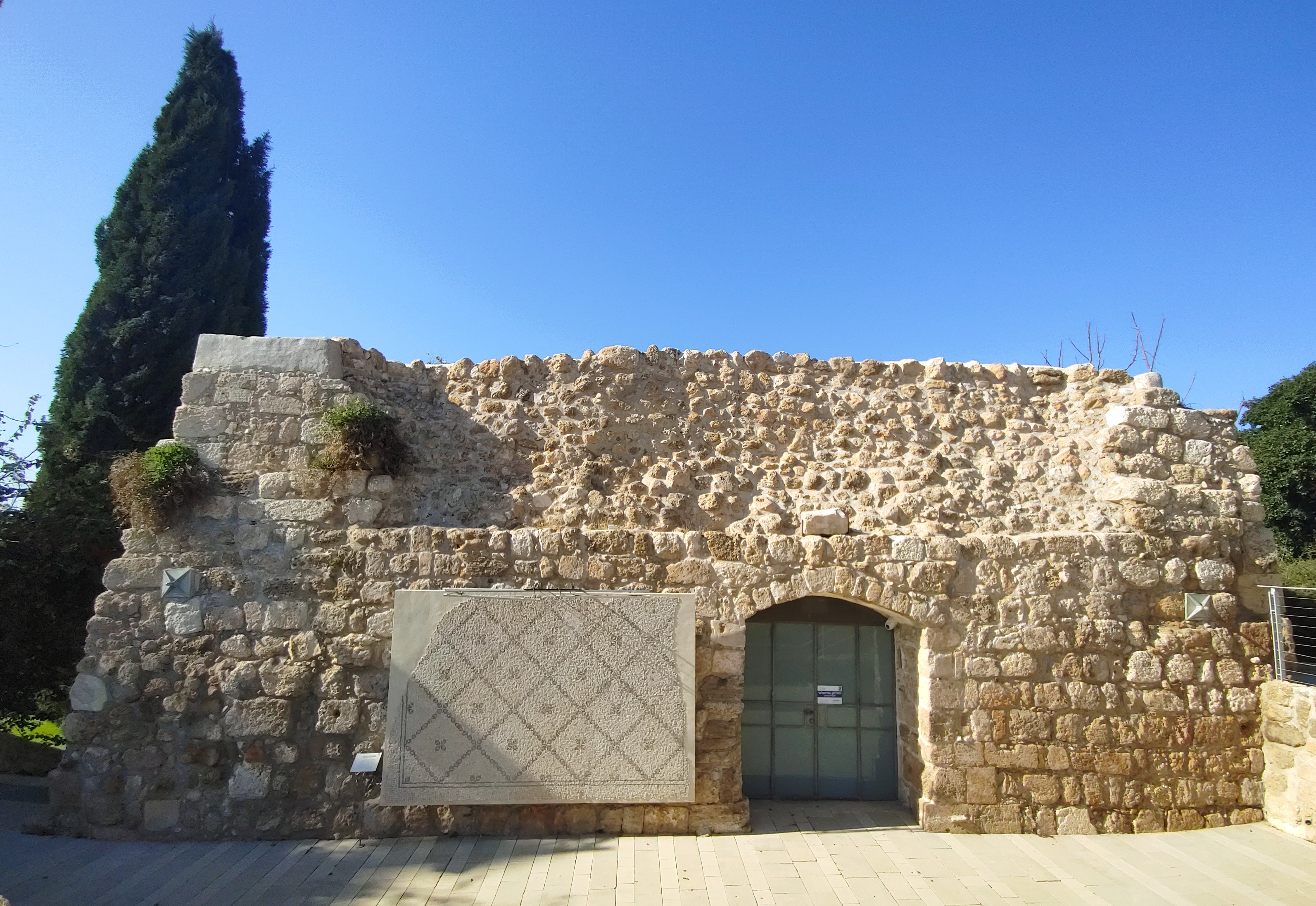
But, with midday already upon us, it was time to find some lunch before I went off to the next museum on my list. Nissim joined me, taking me through Independence Park, where we passed some Byzantine burial caves carved into the bedrock below. I was taken to a local sandwich bar, a haunt known only by the locals, which specialises in veggie patties. We ordered our semi-unusual baguette sandwiches, topped with preserved lemon, and sat down to relax and take in the Jerusalem vibe. The sandwich was delicious, and rather filling, but I needed to get some mozzarella sticks from the adjacent, award-winning LaPiedra pizzeria before moving on. I said goodbye to Nissim as he headed back to work and planned out the next stop of the day, the Museum of Italian Jewish Art.