Just over a week ago, the Land of Israel and Archaeology department of Bar Ilan University launched its first “academic tour” of the semester, and I tagged along enthusiastically. Our destinations were two predominantly Biblical (Iron Age) sites in the Judean foothills: Tel Azeka and Khirbet Qeiyafa. Leaving the university campus in the morning via minibus, we took a brief pit stop at Elah Junction before continuing on to our first site, Tel Azeka located in Park Brittania.
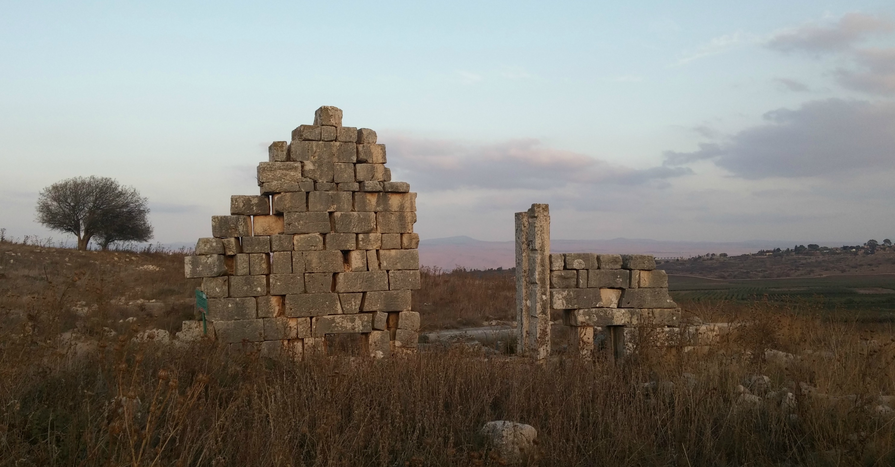
Hellenistic palace of Tel Azeka
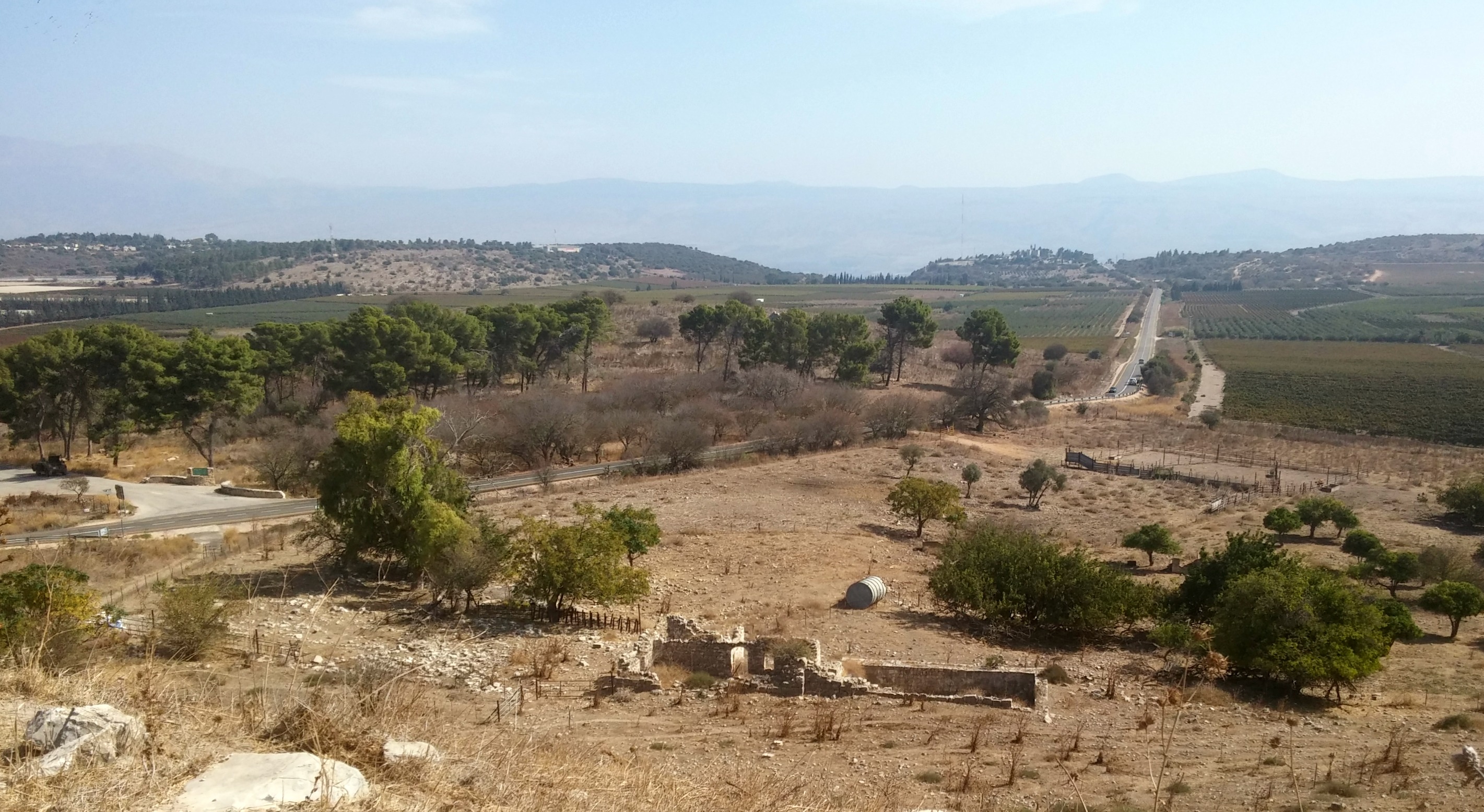
Parking at the foot of Tel Azeka, we walked up the large mound from the south and crossed it to the eastern side, stopping under the Pistacia trees at the David and Goliath Lookout to enjoy the view of Emek HaElah (or, Elah Valley) where the legendary battle between David and Goliath took place.
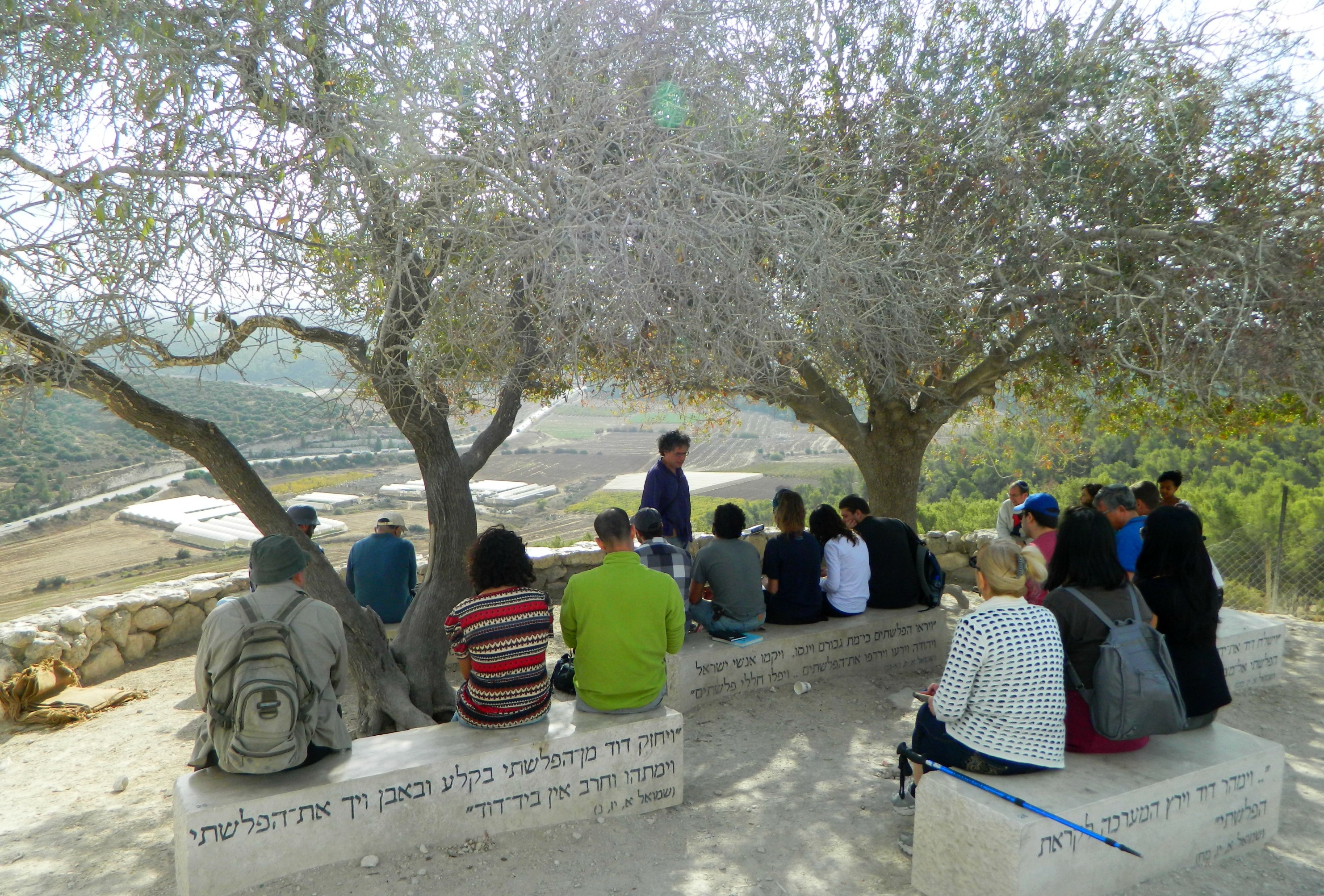
Listening to Dr Oren Ackermann at the David & Goliath Lookout
The first order of the day was an overview of the area from a topographical perspective, delivered by Dr Oren Ackermann. With the help of field maps and a compass or two, we were instructed in the many ways of topography, navigation and geographical orientation. As we sat in the shade I kept an eye out for wildlife down below – I was rewarded with sightings of a European robin, stonechat, kestrel and a whole lot of noisy Eurasian jays at Tel Azeka alone.
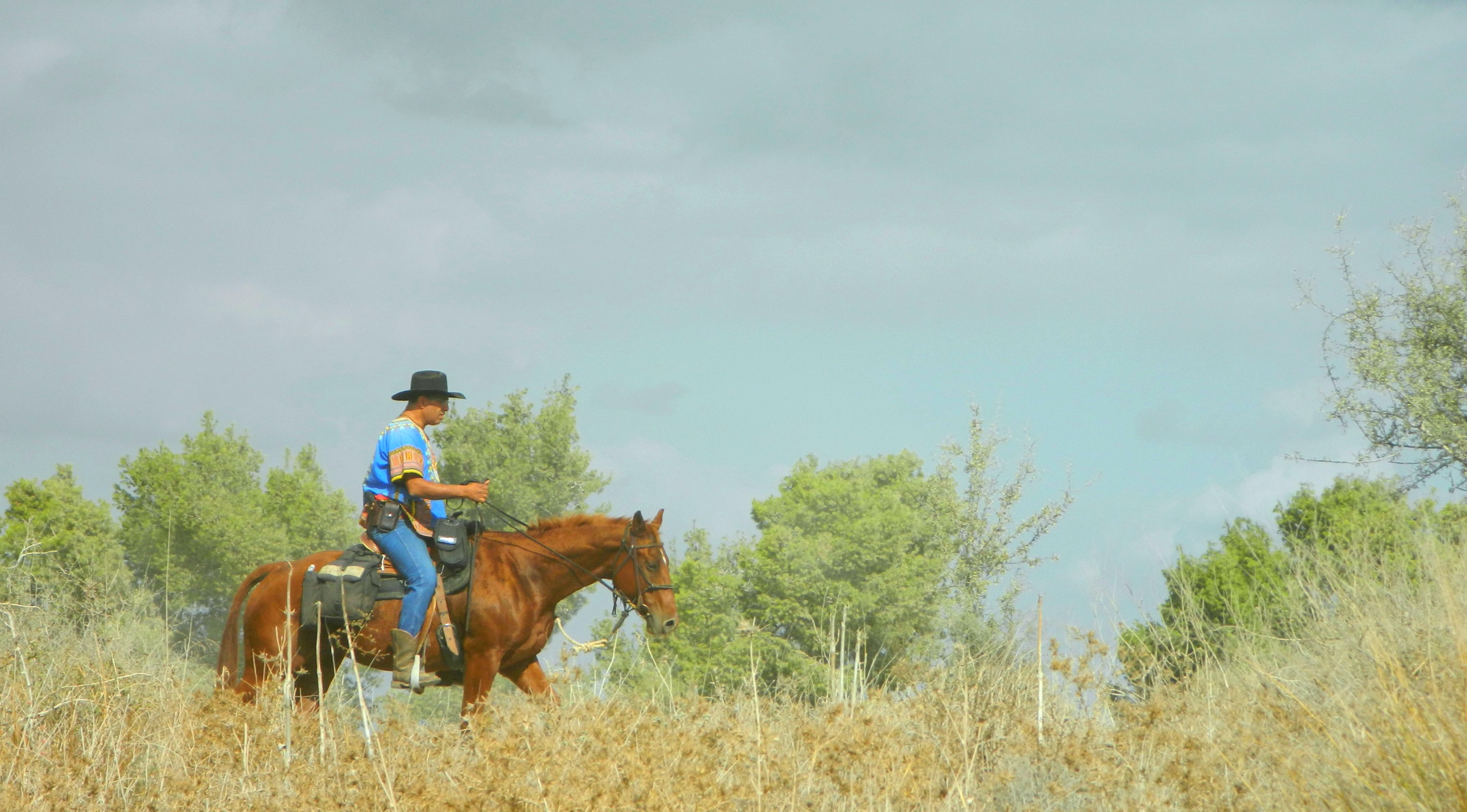
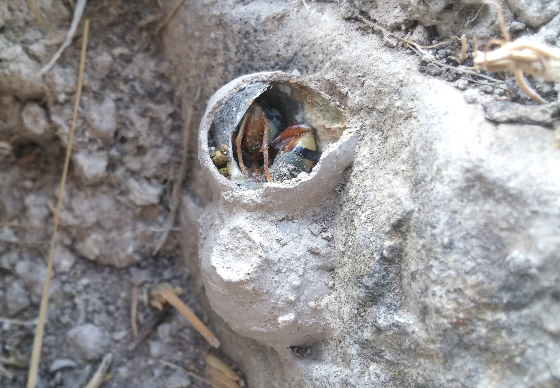
Unidentified horseman
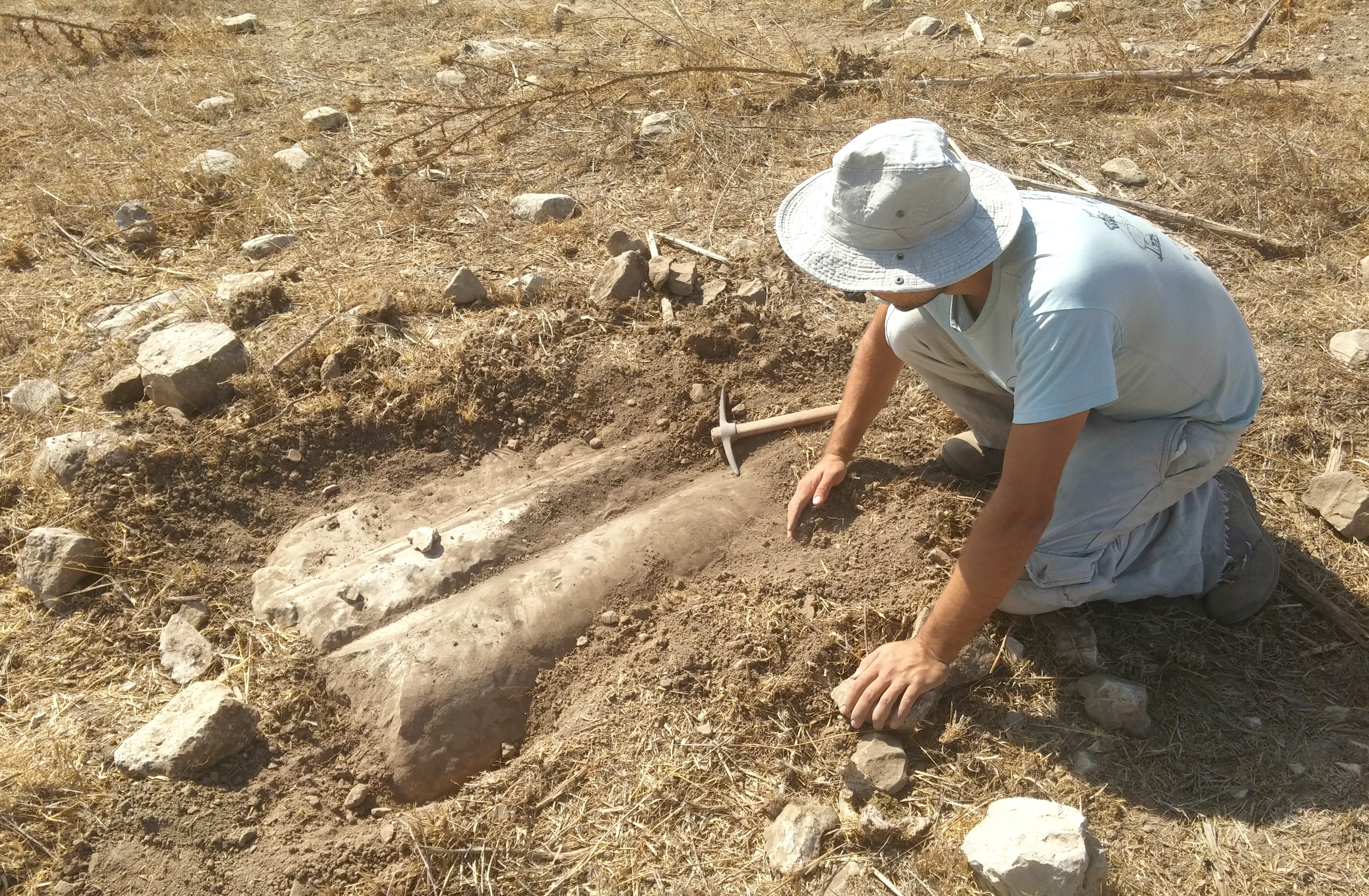
A brief history of Tel Azeka: First inhabited some 3500 or so years ago, the site is first mentioned in Biblical sources as a city conquered by Yehoshua (Joshua) – an epic tale involving hailstones and slaughter. Later, Azeka is mentioned as being part of the Israelite fortress line defending against the Philistines from the southwest. Being as that Emek HaElah is the natural entry-point into the Judean foothills region, hilltop cities were built and fortified to repel invaders. However, these bastions didn’t stop Sennacherib and his Assyrian army from conquering the Israelite cities all the way up to Jerusalem, including Azeka. The next superpower, the Babylonians, laid siege on Azeka and conquered it shortly before laying waste to Jerusalem. With the Jewish return to the Holy Land in the Persian period, Azeka was rebuilt and resettled, undergoing a name change in the Byzantine era; from Azeka to Caper Zacaria. Sometime thereafter the city was abandoned and fell to ruins, only to be discovered by PEF surveyors and archaeologists in the late 1800s. Over one hundred years later, archaeologists from Tel Aviv University began modern excavations – the next dig season set for July 2018 (see HERE).

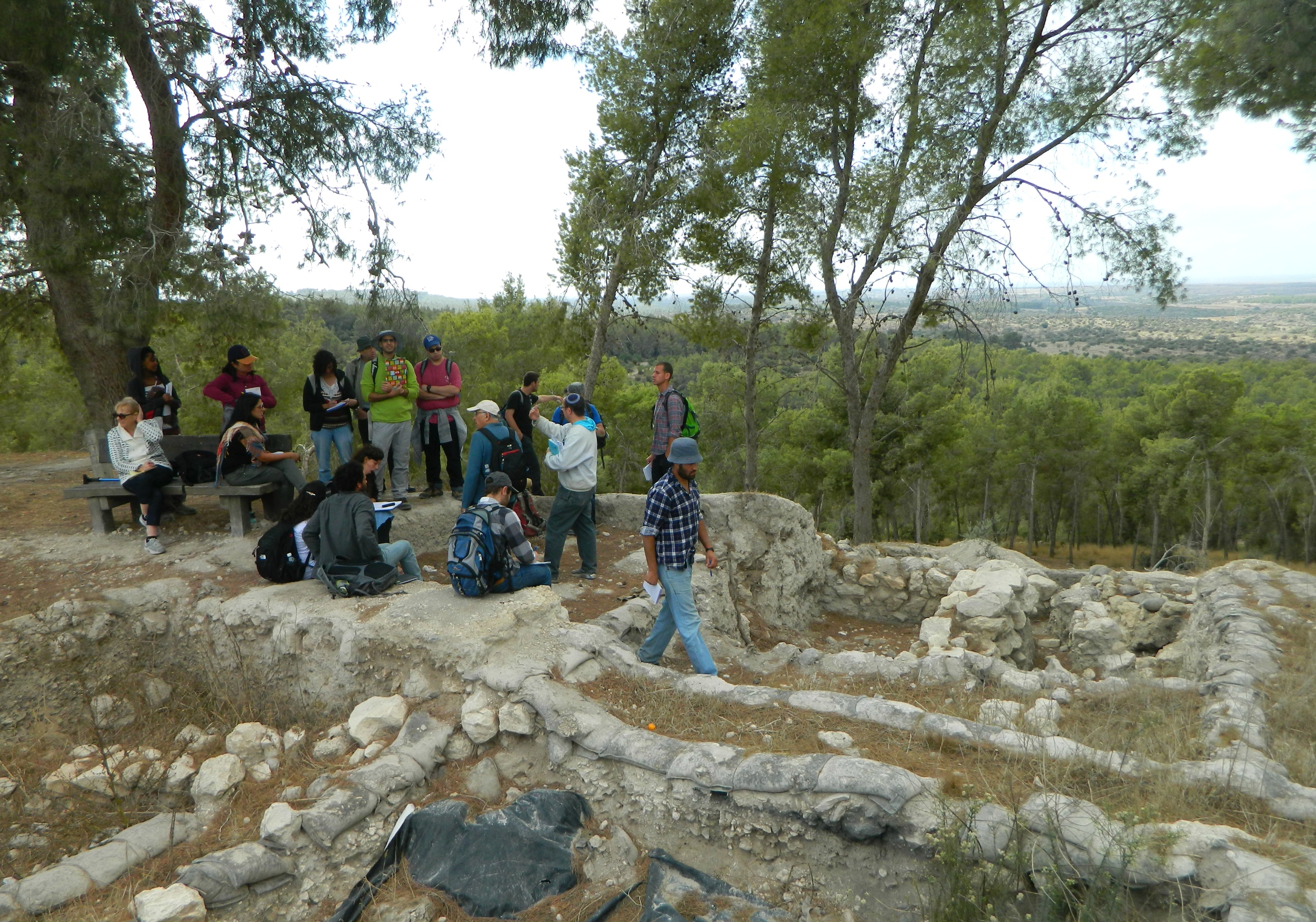
Listening to Dr Shawn Zelig Aster at the Assyrian siege batteries
Returning to the narrative, we then stepped over the edge of the lookout to examine the unusually steep Assyrian siege batteries excavated out of the gravelly sides of the tel. From there we headed to the southern side and looked at the old city wall ruins of the Late Bronze to Iron Age period, before Israelite reign, under the shade of tall pine trees.
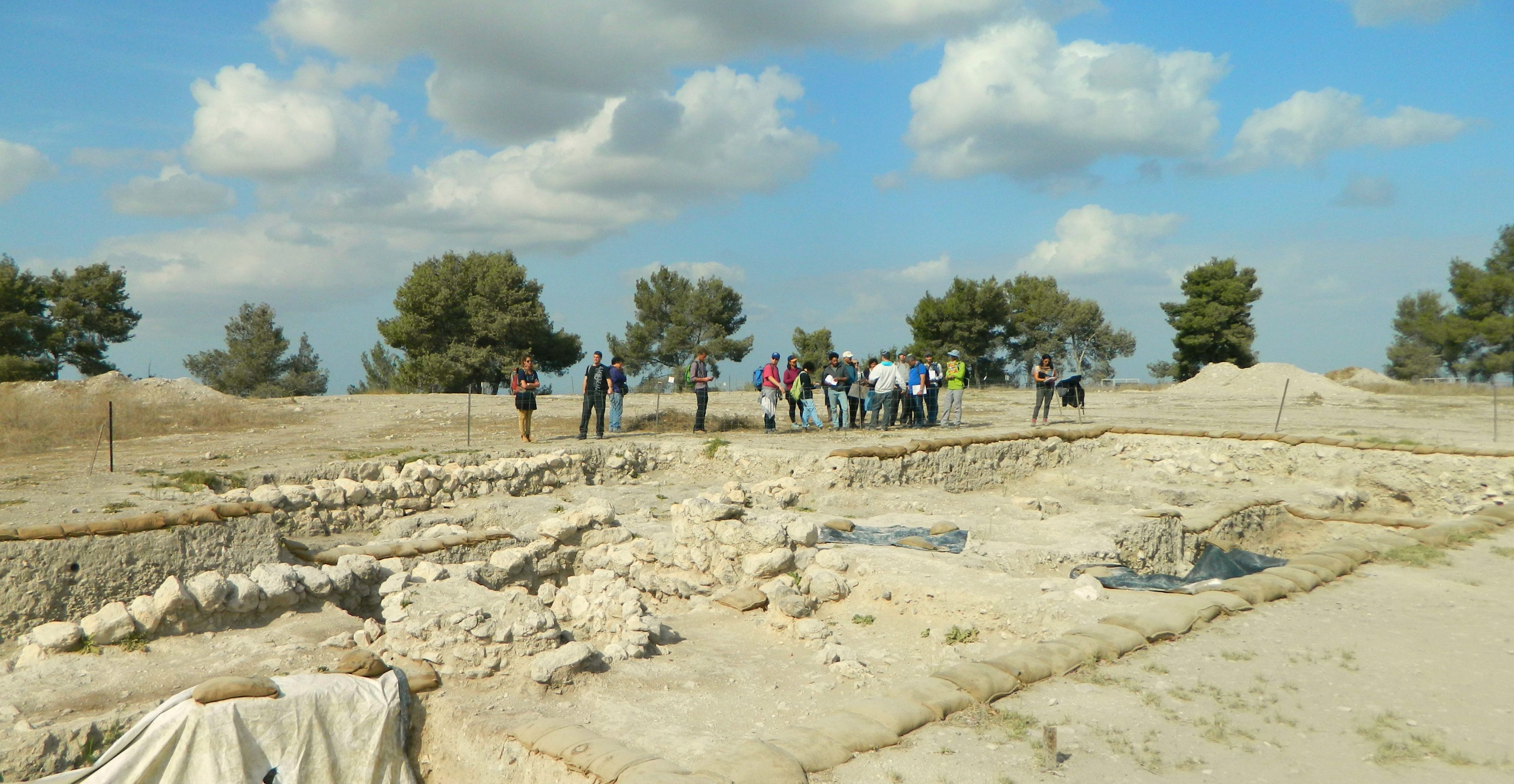
Late Bronze-Iron Age city walls to the south
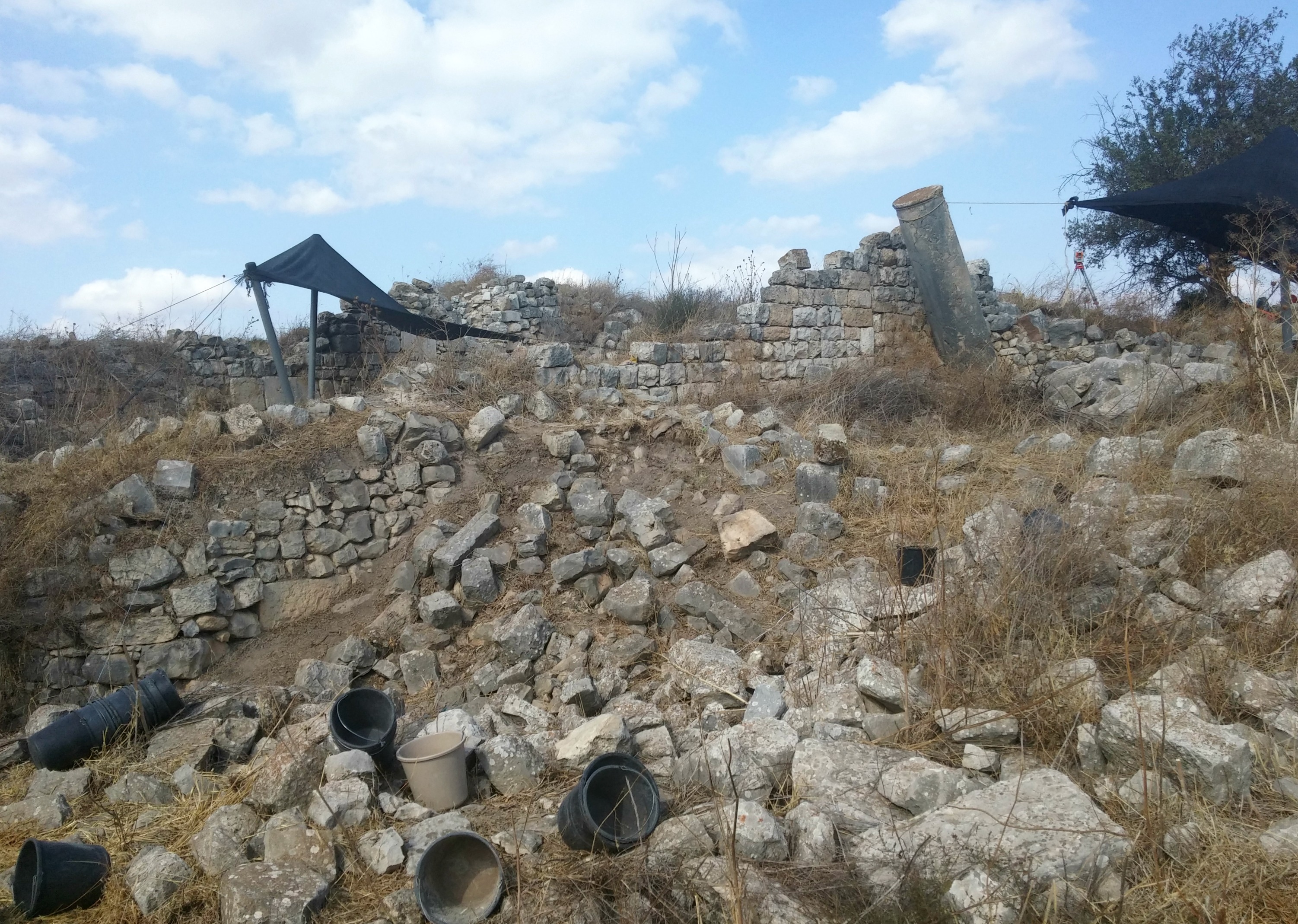
Looping around the west side, we then stood at the edge of another open excavation, the Hellenistic palace. And from there we headed back over to the east side to take a group photo.
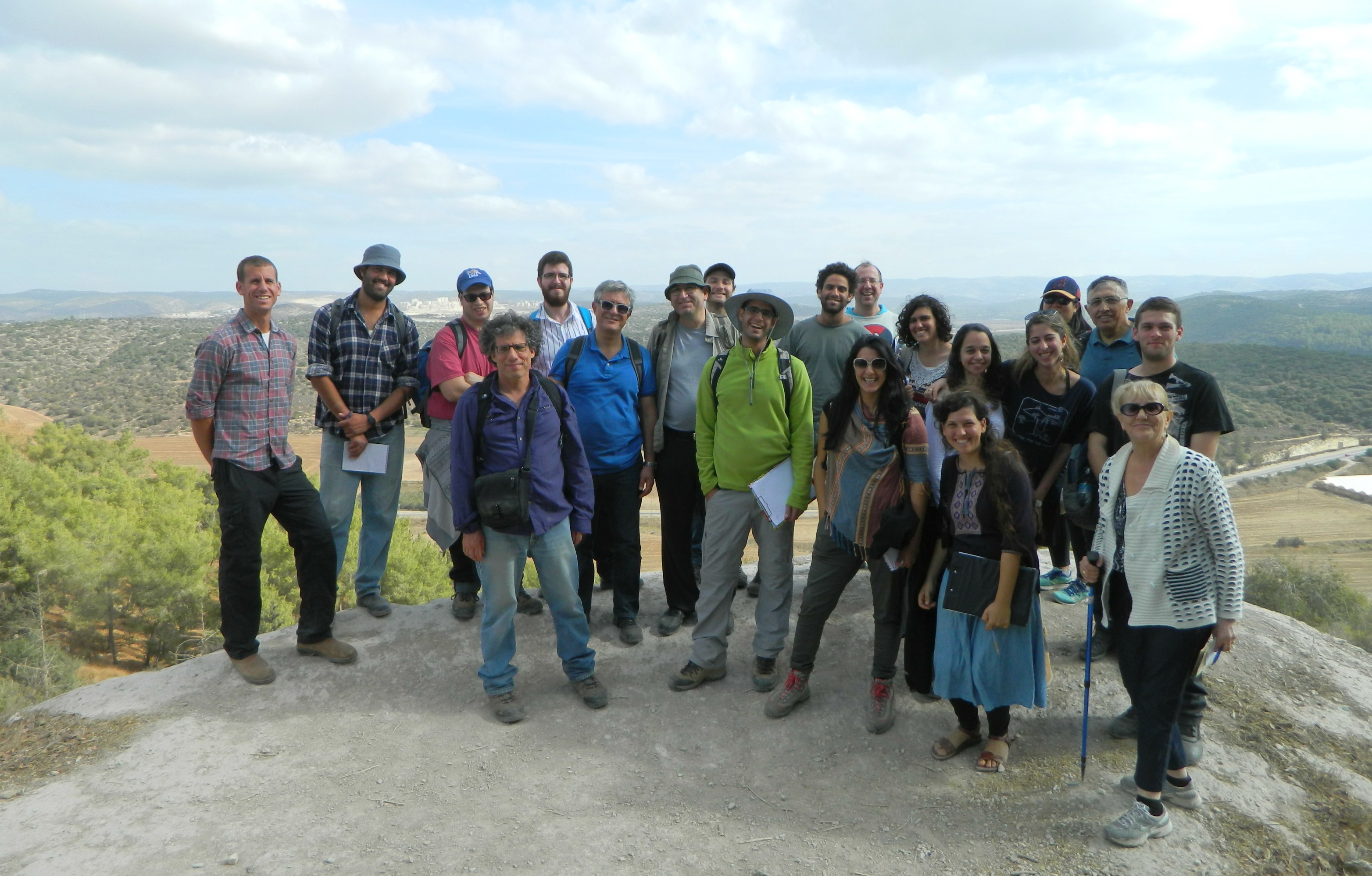
Group photo on Tel Azeka
Leaving Tel Azeka, we were then driven to the start of a dirt road not far below the tel, across Road 38, where we were to walk on foot to our next site: Khirbet Qeiyafa (debatably also known as Shaaraim, meaning “Two Gates”). Mostly disregarded by surveyors in the 19th and 20th centuries, the site was identified as an important fortified city in 1992 and 2001, and most recently excavated between 2007-2013 by the Hebrew University under Professor Yosef Garfinkel and Saar Ganor of the Antiquities Authority. I had the honour of digging with these fine archaeologists six or so months ago at Khirbet Arai, located some seventeen kilometres southwest of Qeiyafa.
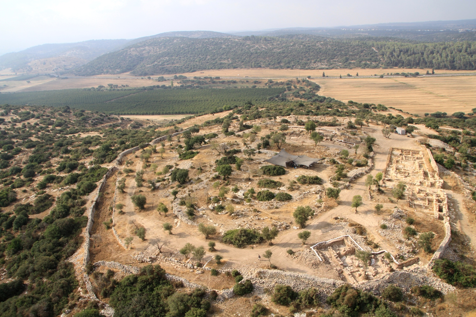
Aerial view of Khirbet Qeiyafa looking south (photo: Skyview)
To give an even briefer historical overview, Qeiyafa was a Biblical city, same as Azeka, perhaps the largest city in the area at the time. The findings of a second gate, facing south overlooking Emek HaElah, seemingly solidified the theory that Qeiyafa was the Biblical city of Shaaraim. In the Hellenistic period the site was fortified, with the addition of smaller fieldstones to enlarge the city walls. The Roman and Byzantine periods saw continued settlement, yet sometime afterwards the ancient city fell to disuse and was only scattered stone heaps until recent years.

Double wall circling Qeiyafa
And so it was that our group of academics and students alike sat under the shade of an olive tree to hear about the recent excavations. Getting back up on our feet, we examined the four-chambered western gate and then took a slow loop within the city perimetre, pausing here and there for educational purposes. I was gazing about at the ruins around me when I saw the briefest of glimpses of a bird that I’ve never seen before. All I needed was that glimpse to identify a male blue rock thrush from the bird guide I carry around everywhere – an exciting spotting for me, even if I was unable to photographically capture the moment.
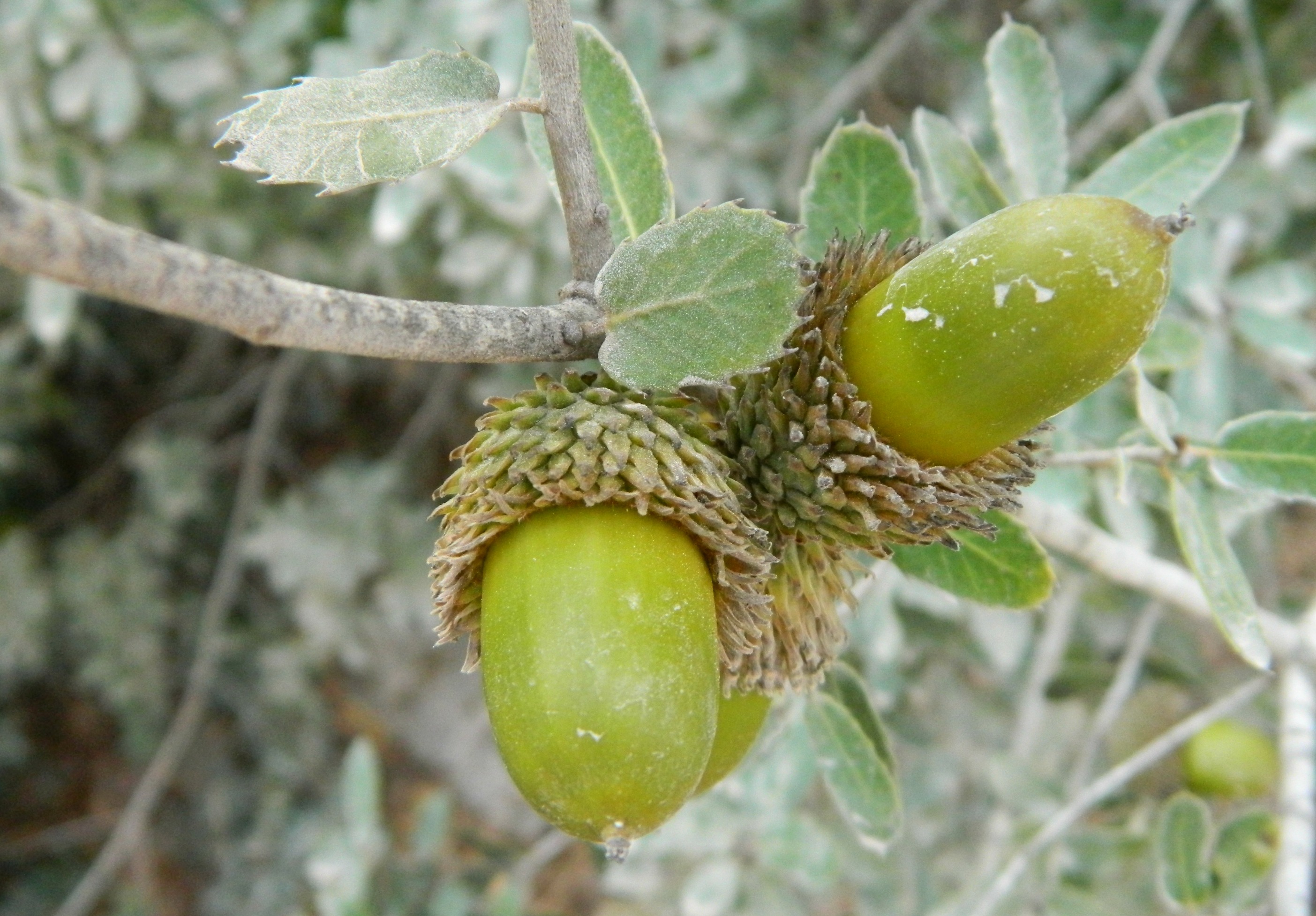
Dusty acorns
Finishing up where we started – the western gate – I found a bitter almond tree and tried to feed my friends cyanide-rich nutmeat, but they all refused. We boarded the minibus and drove through intermittent traffic back to the university, successfully culminating the first archaeology trip of the semester.