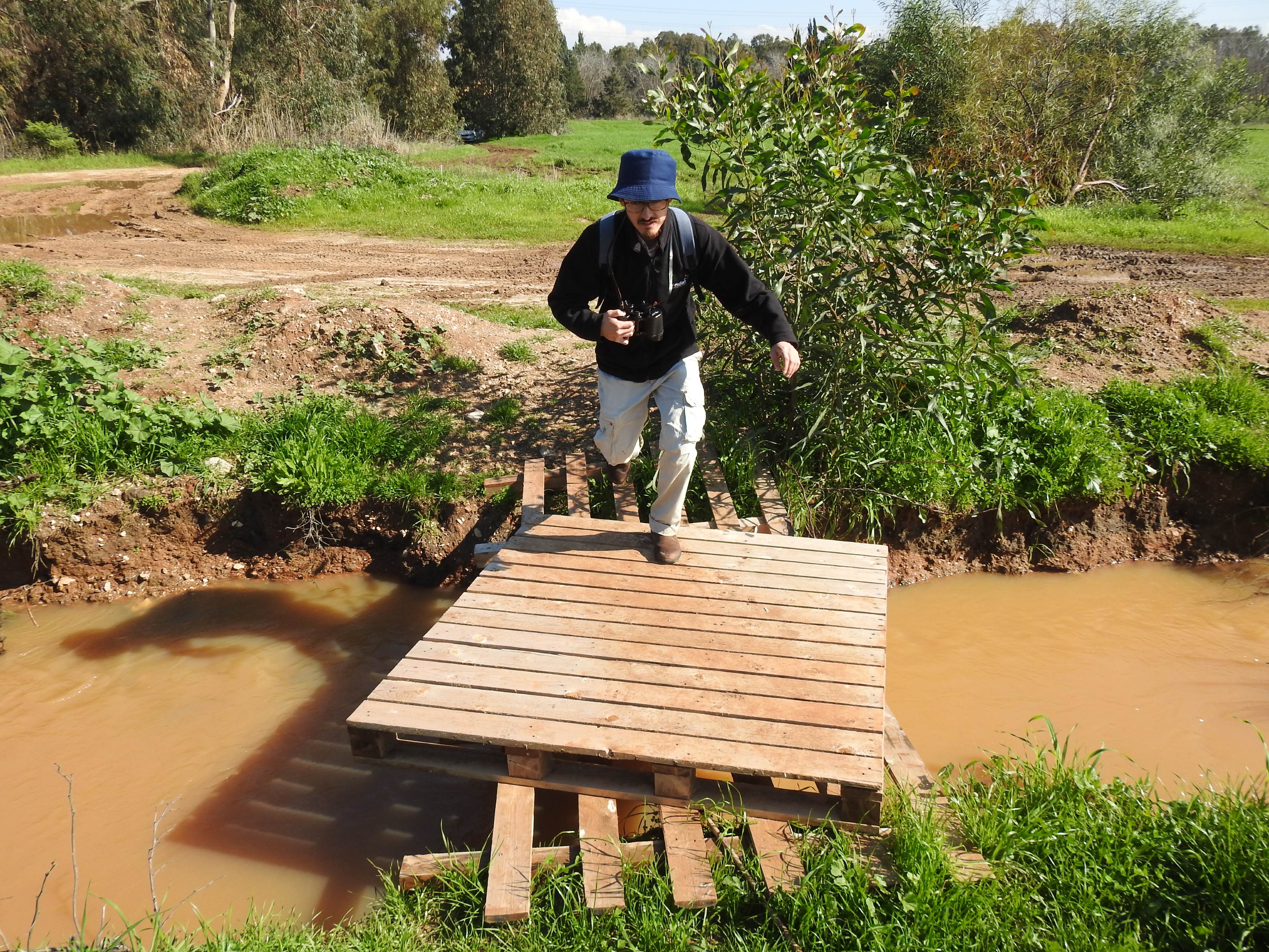
One dark Friday morning in mid-December, my trusty alarm clock woke me up. It was 5 o’clock in the AM and I could hear the nearby muezzin wailing in the distance, summoning sleepy villagers to their morning prayers. I had made birding plans that day, with both Adam Ota and his brother Matthew, who was visiting from Japan and eager to see some nice Levantine birds. We met up at 6 o’clock at our rendezvous point and drove up to the watery wonders of Ma’ayan Tzvi.
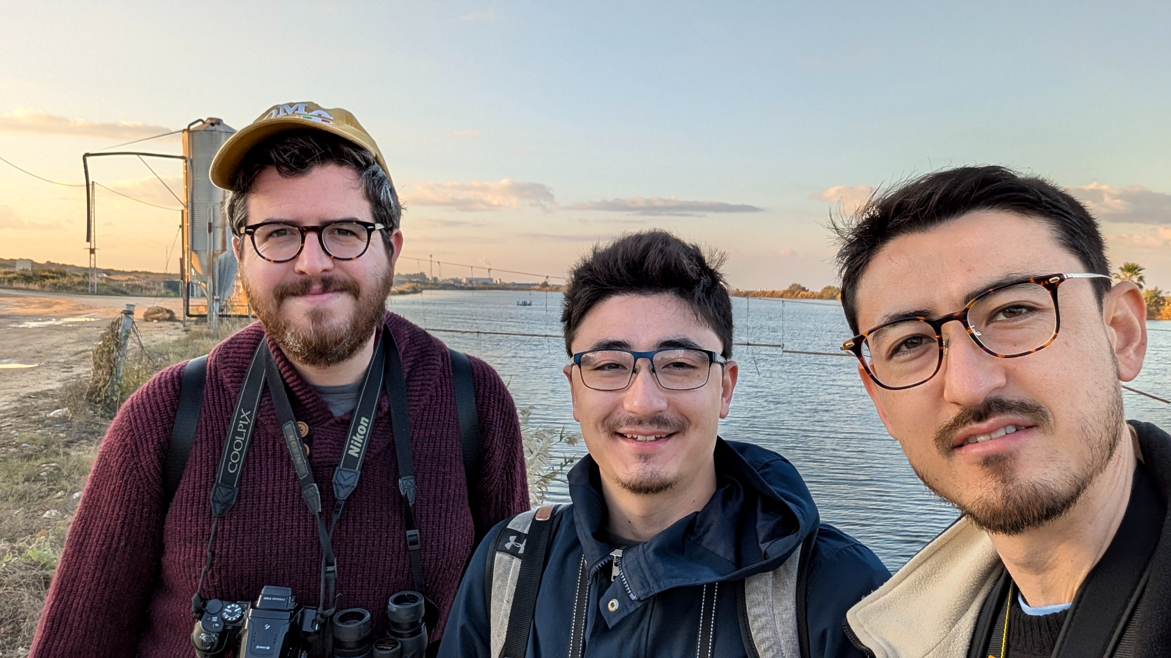
Eager birders (photo Adam Ota)
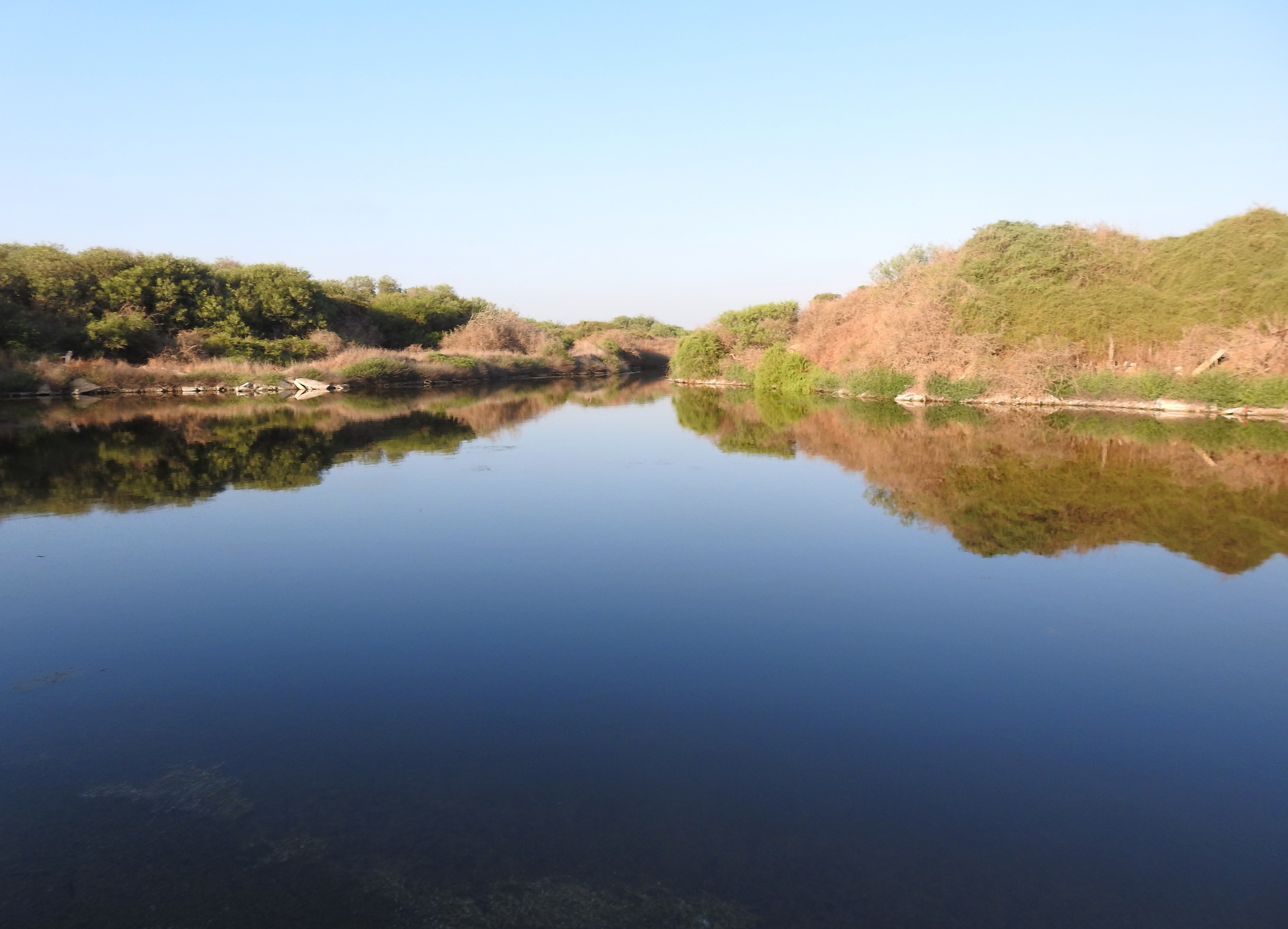
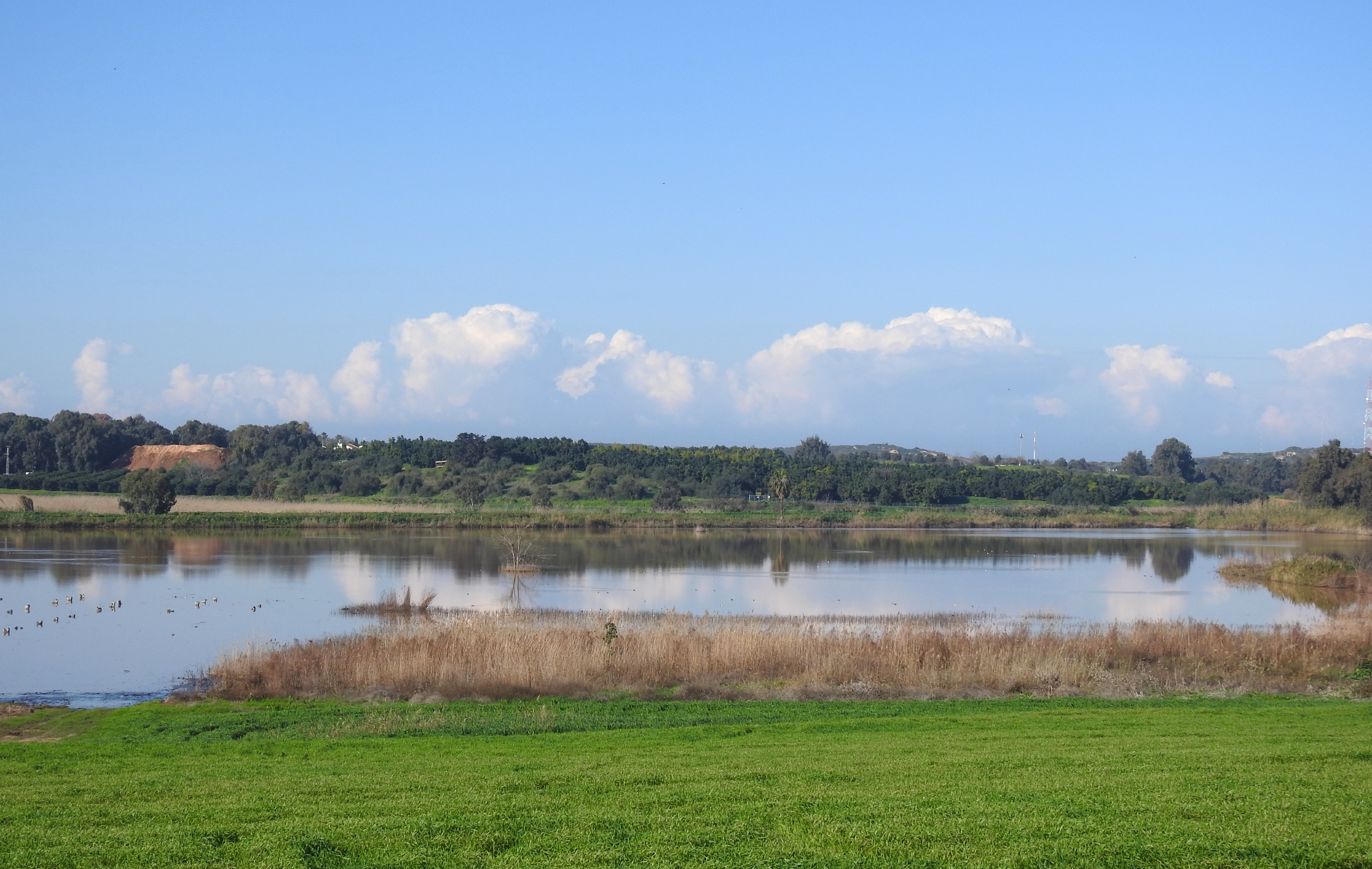
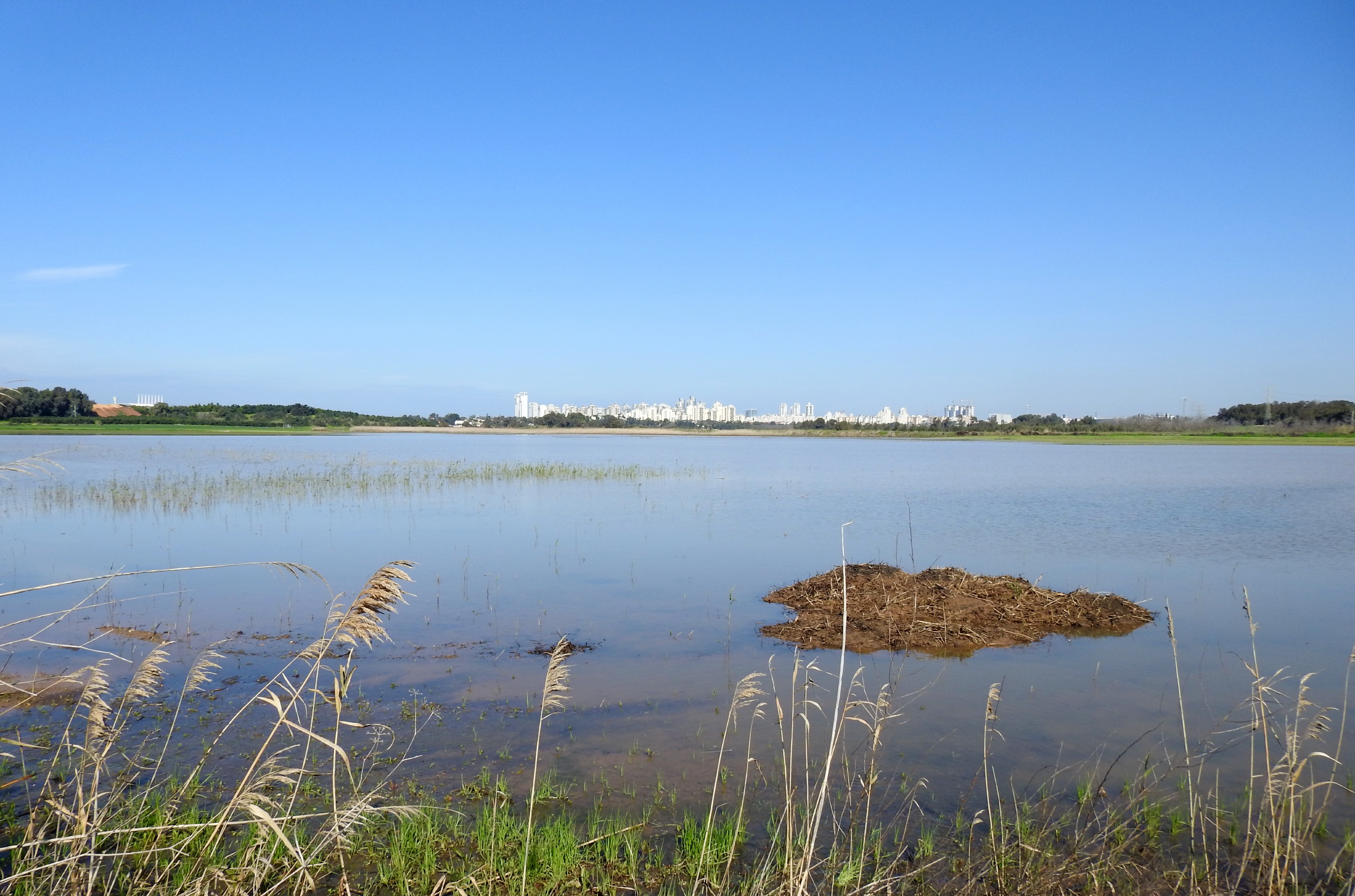
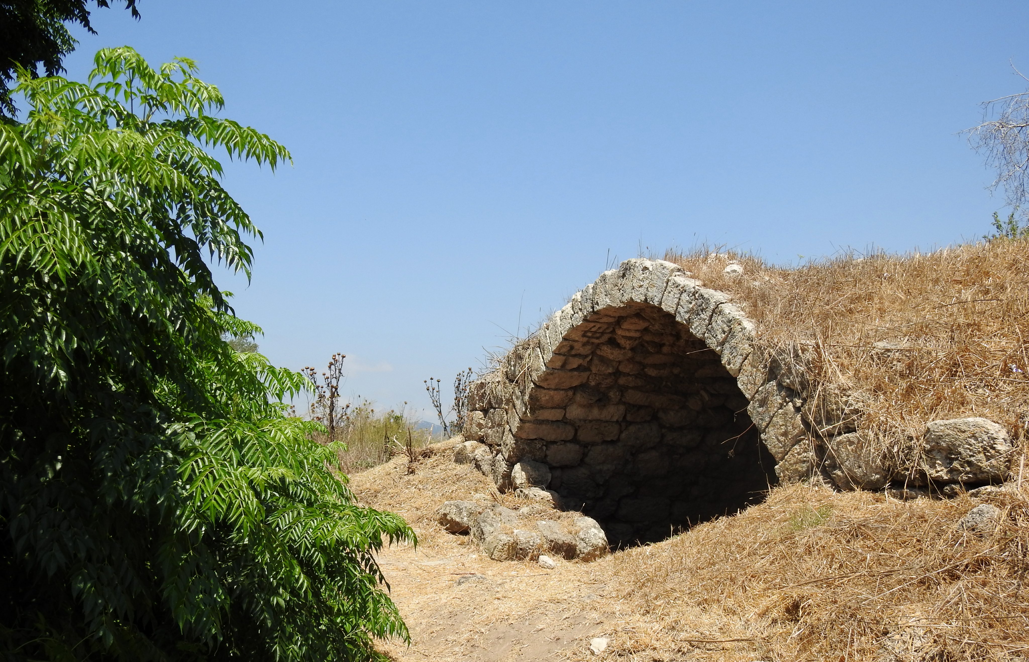
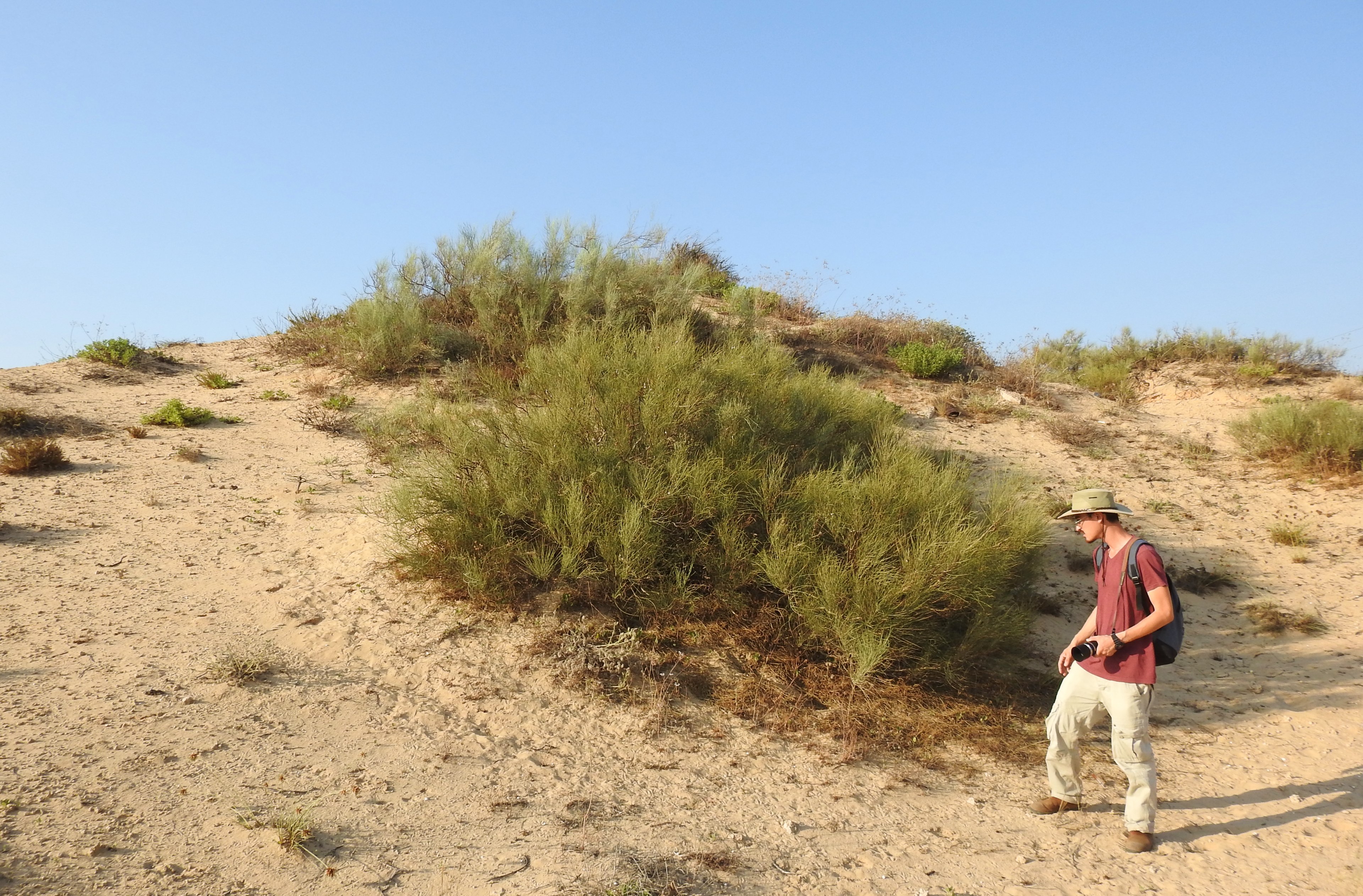
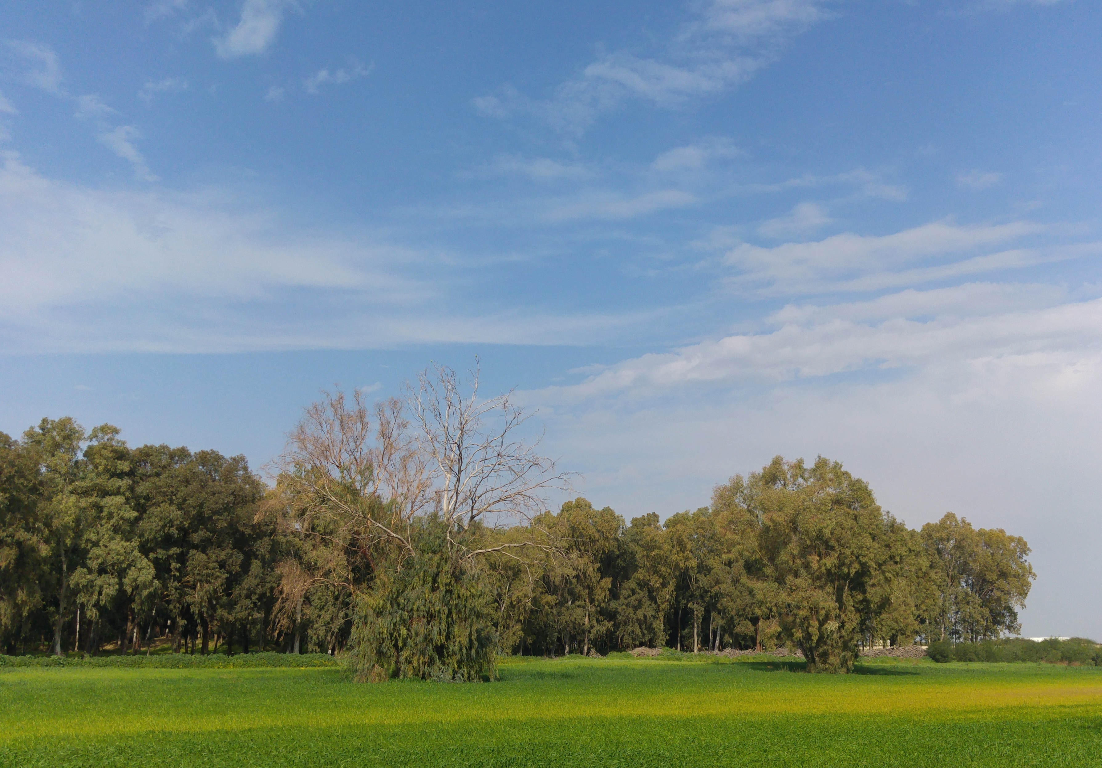
Located at the foot of the southwestern corner of Mount Carmel and sandwiched between Ma’agan Michael to the south and Tel Dor to the north, Ma’ayan Tzvi had somehow escaped our attention all of these years. However, researching popular birding sites to take Matthew to brought this gem of a nature site into focus, and plans were made. While Adam and I had already visited Ma’agan Michael nearly six years prior, we learned that there was an additional feature that made Ma’ayan Tzvi an even more attractive location. Artificially-created fish ponds, a more natural marsh habitat (referred to as “the Difle”) and the wild coastline all provided different habitats for different species, which filled us with hope.
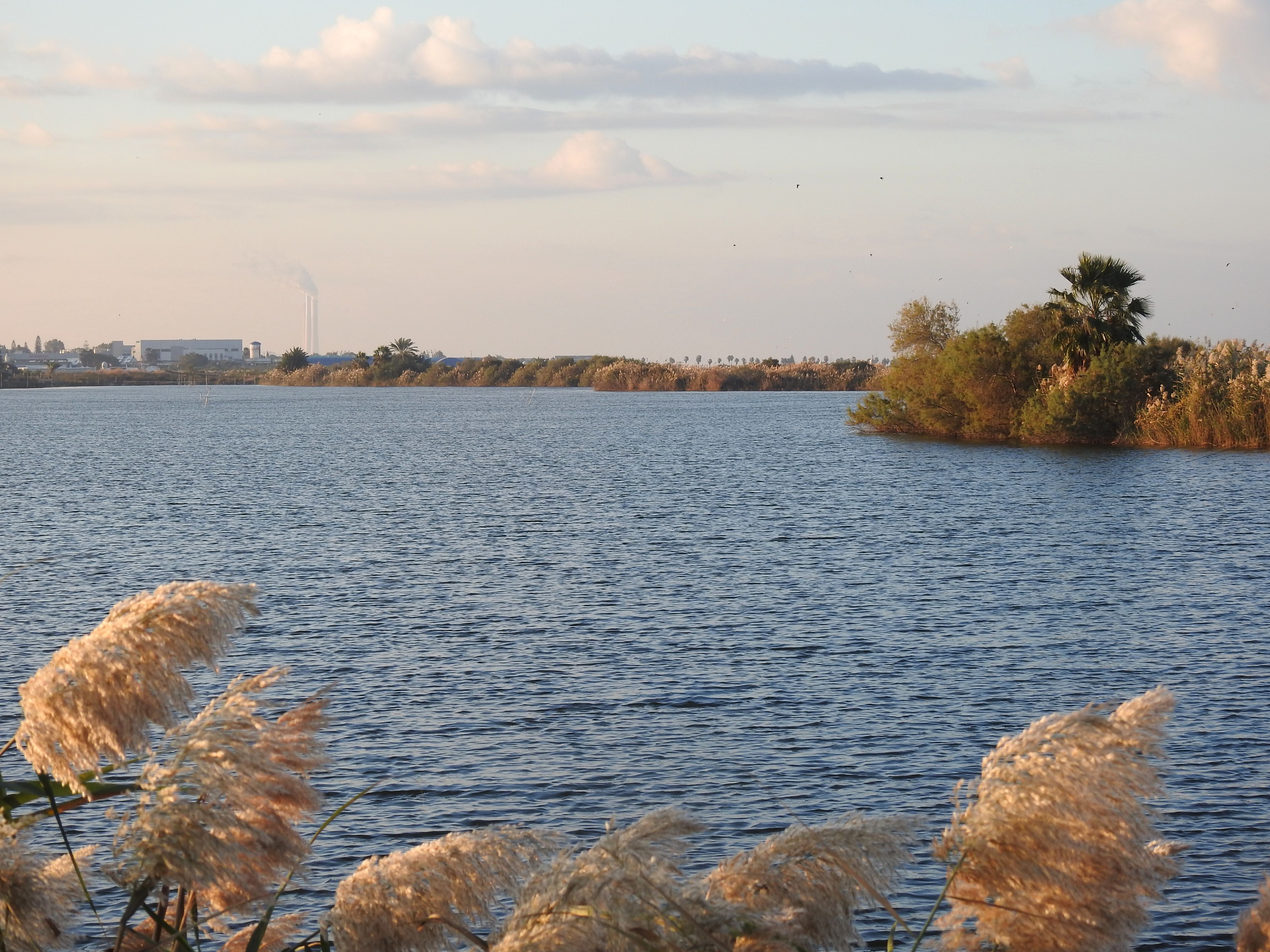
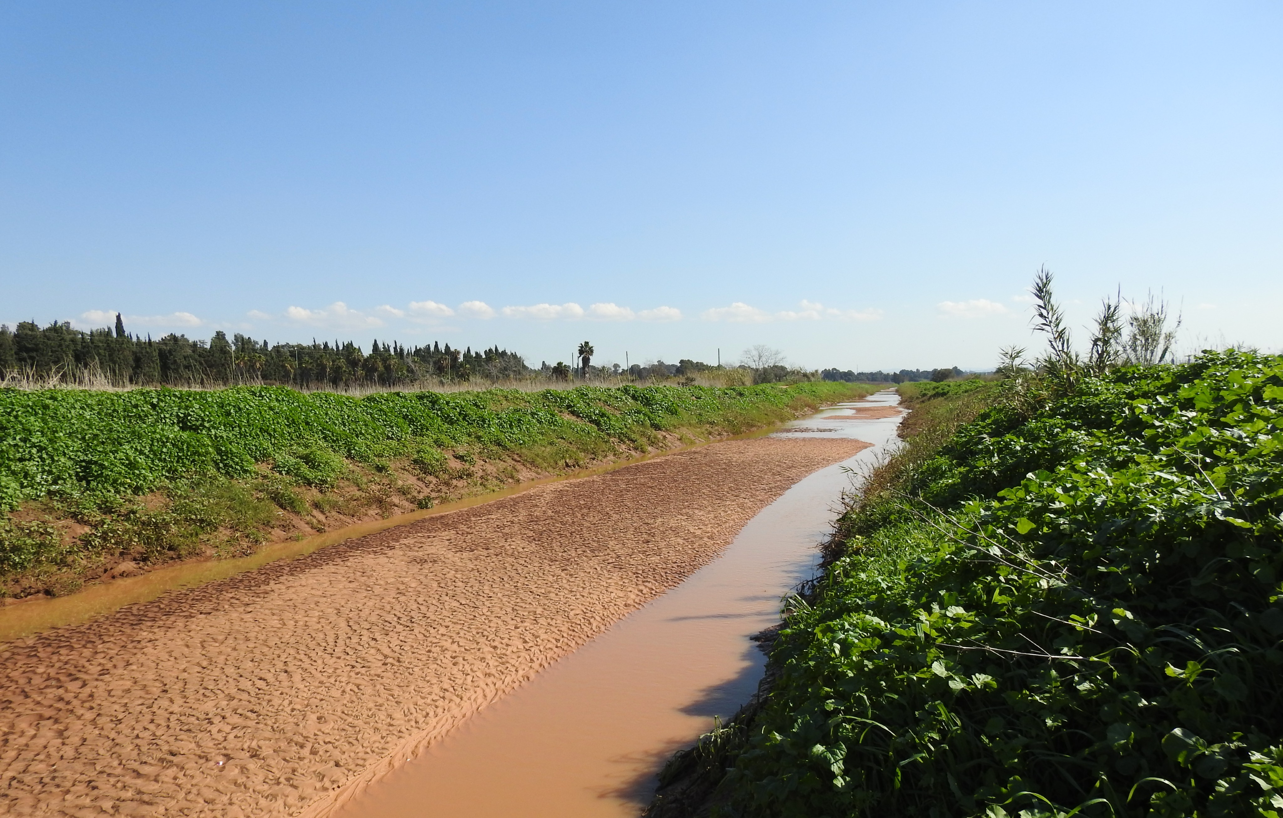
Southern Difle pond
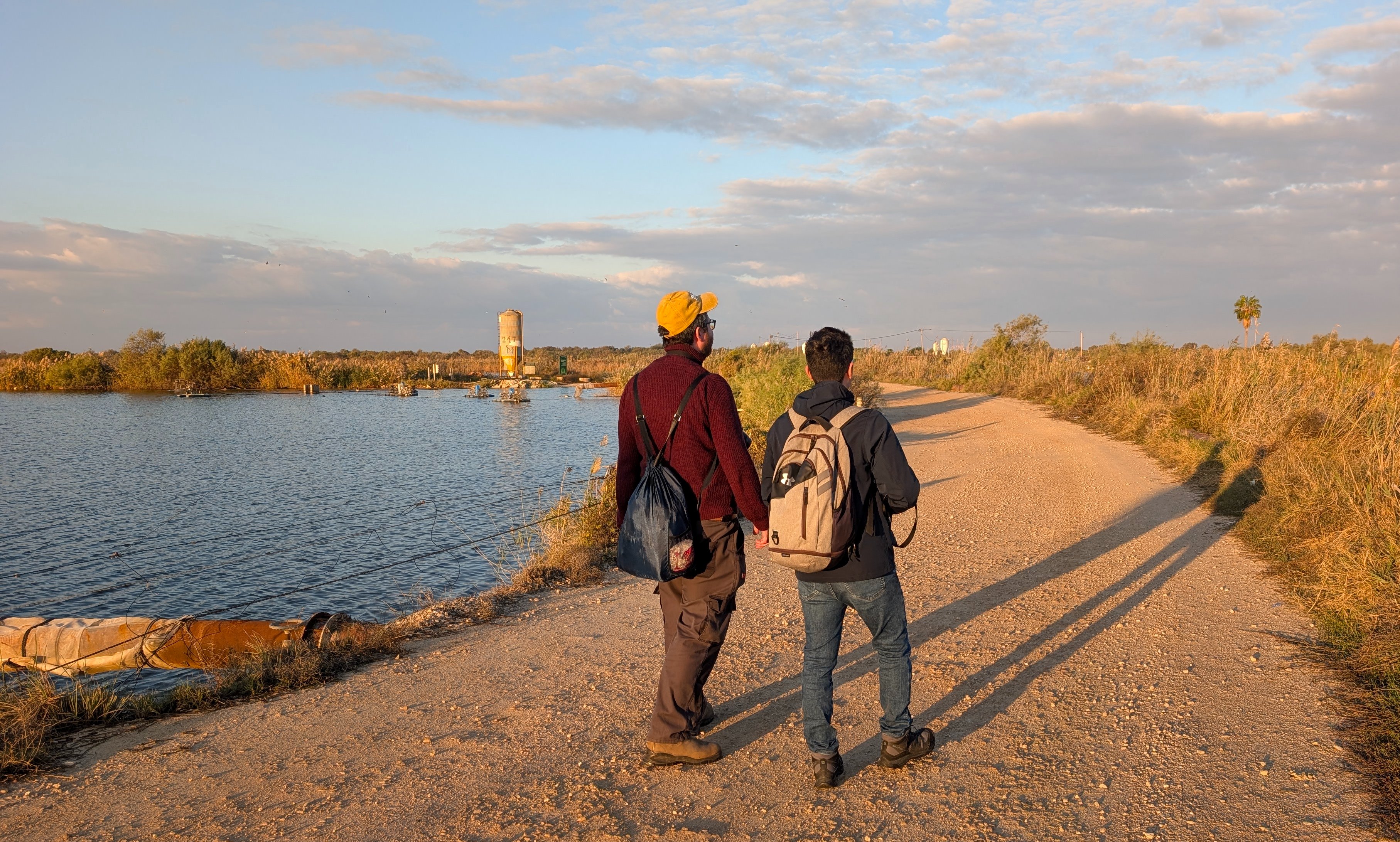
We parked outside a gaudy fishing park attraction, apparently built on the ruins of an old mill, and headed our way to the first of the bodies of water. Barn swallows swooped around us incessantly, the skies filled with a multitude of water-loving birds either joining us or just passing by. The soft pastel colours of the morning painted the most beautiful scenes, particularly of the more natural Difle ponds with its reeds and backdropped by the smokestacks of the Hadera power station.
Admiring the copious fauna (photo Adam Ota)
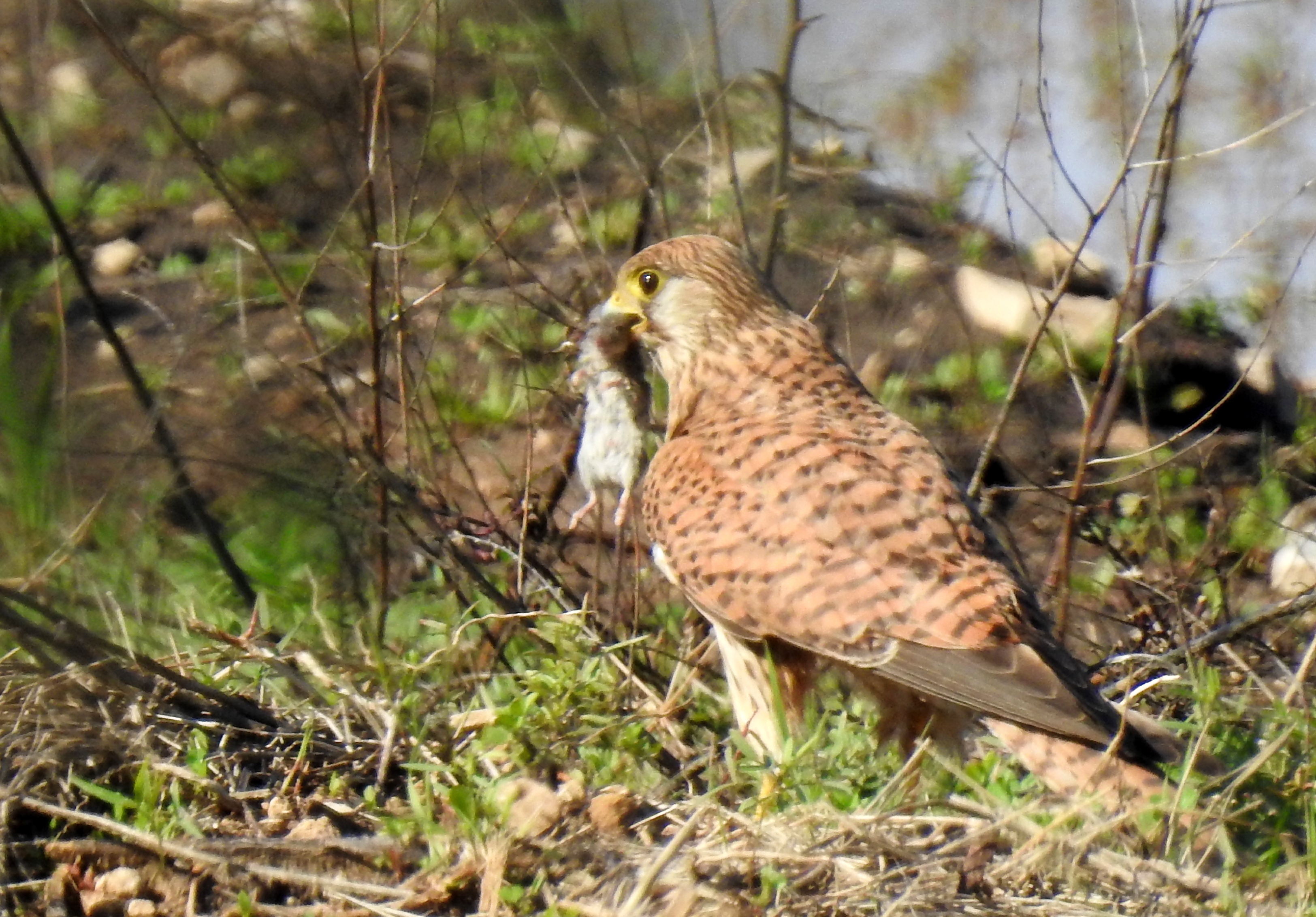
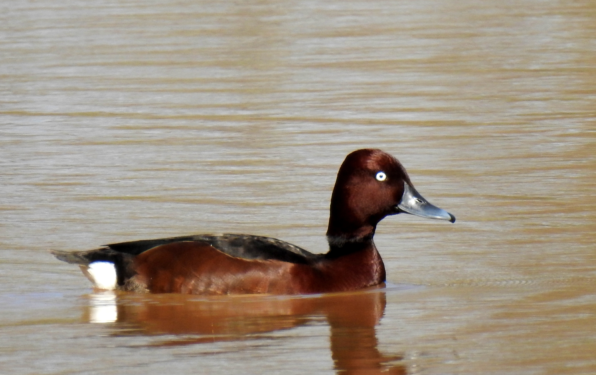
There were some cormorants, dabbling ducks and other waterfowl within eyesight, but the more interesting diving ducks were just specks in the distance, too far for our binoculars and cameras. Interestingly enough, we were all using very similar Nikon superzoom cameras (two P900s and a P950) that day, as well as our own personal choice of binoculars (mine being also a Nikon).
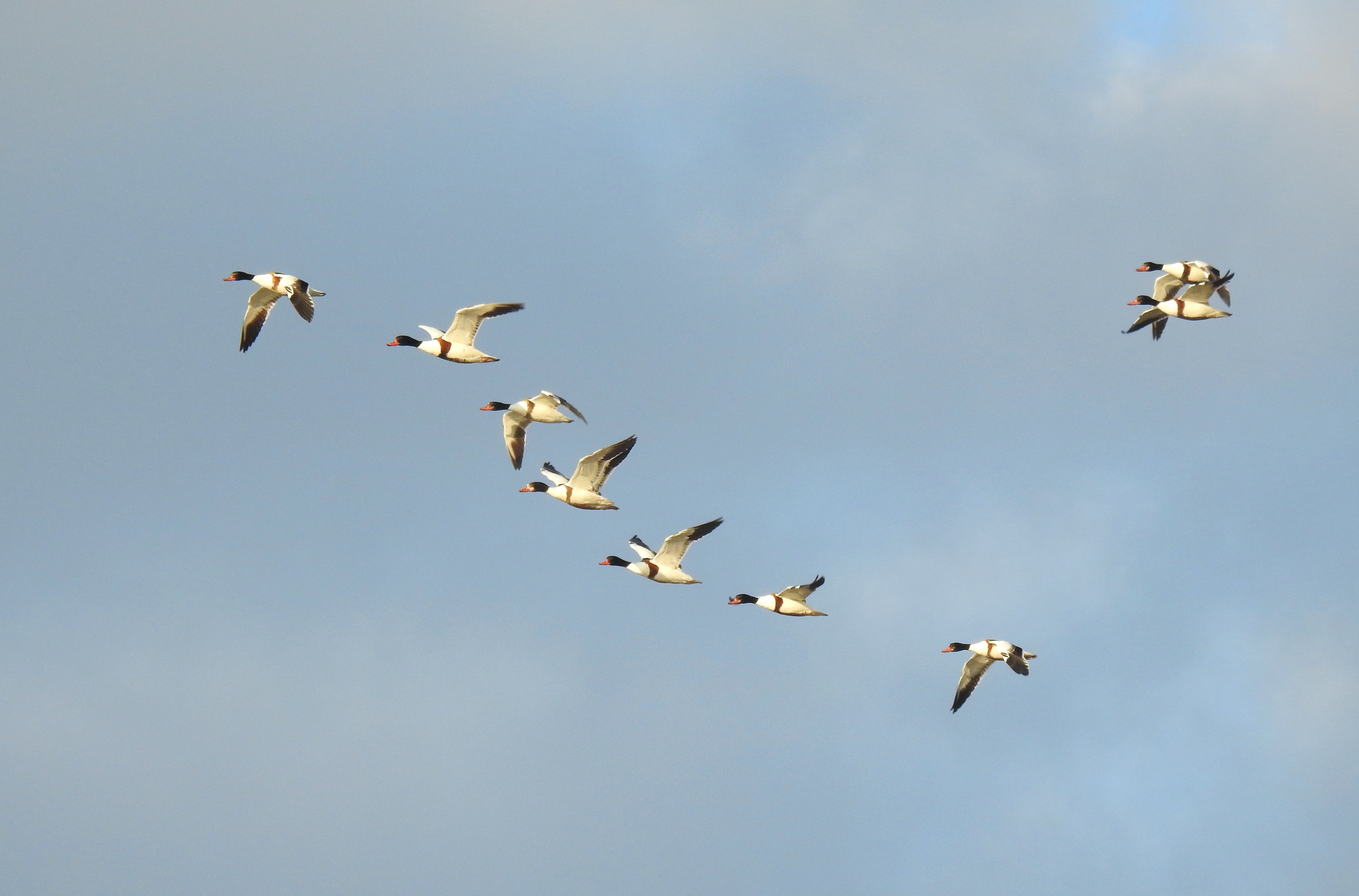
Handful of shelducks flying by (photo Matthew Ota)
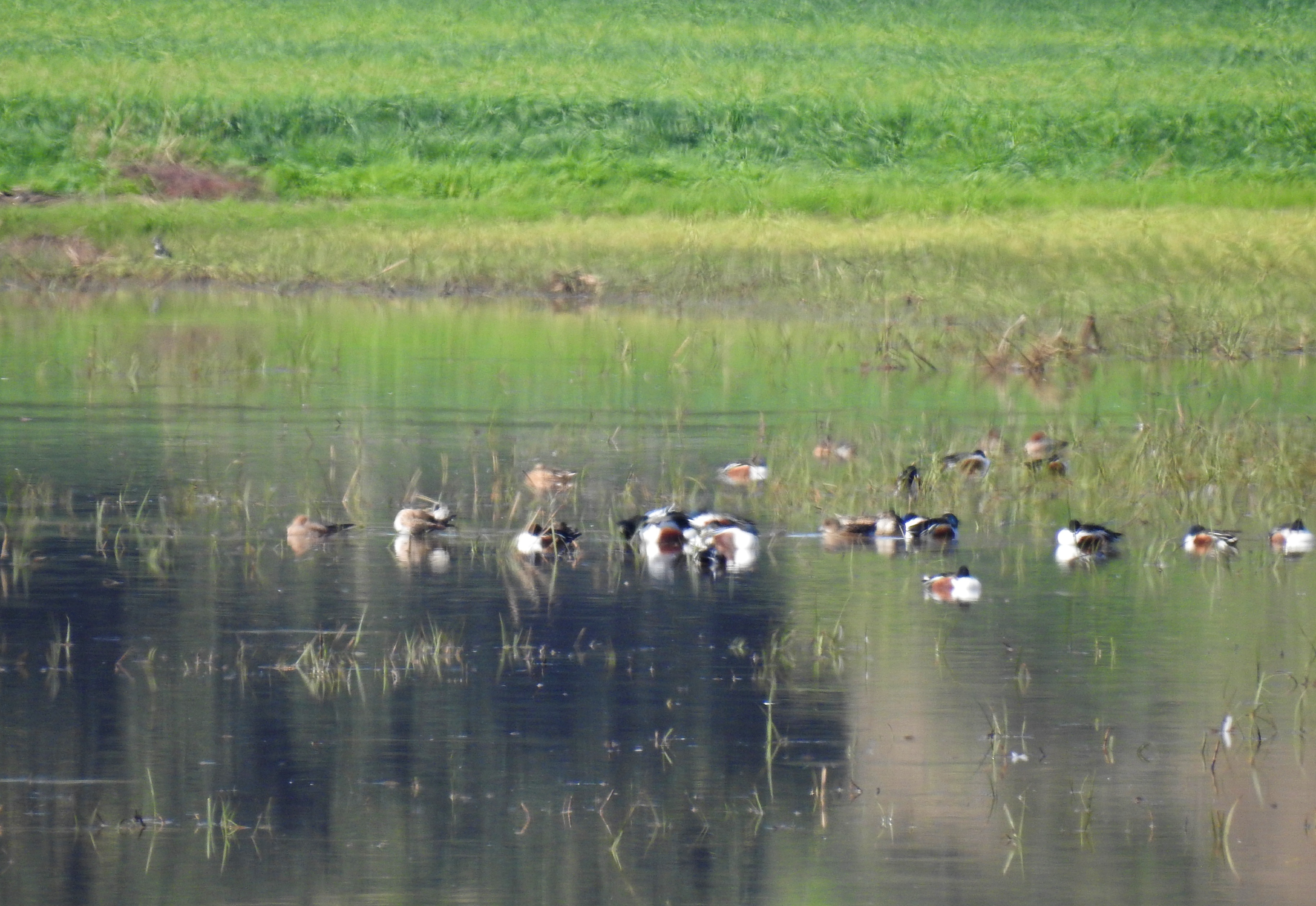
A small group of flamingos were spotted flying about to our right, teasing us with their striking white and pink plumage. Matthew suddenly called out “Shelducks!” and pointed up at the sky to a flock of a dozen of so shelducks in a loose V-formation. The last time Adam and I had seen shelducks was years ago in the Yavne infiltration pans, so this was a very welcome sighting. As quick as the shelducks appeared, they were soon gone and we found ourselves ringing out bird species as we spotted one after the next in quick succession. A flock of snoozing pied avocets also gave us joy – not the most common wader to find in Israel.
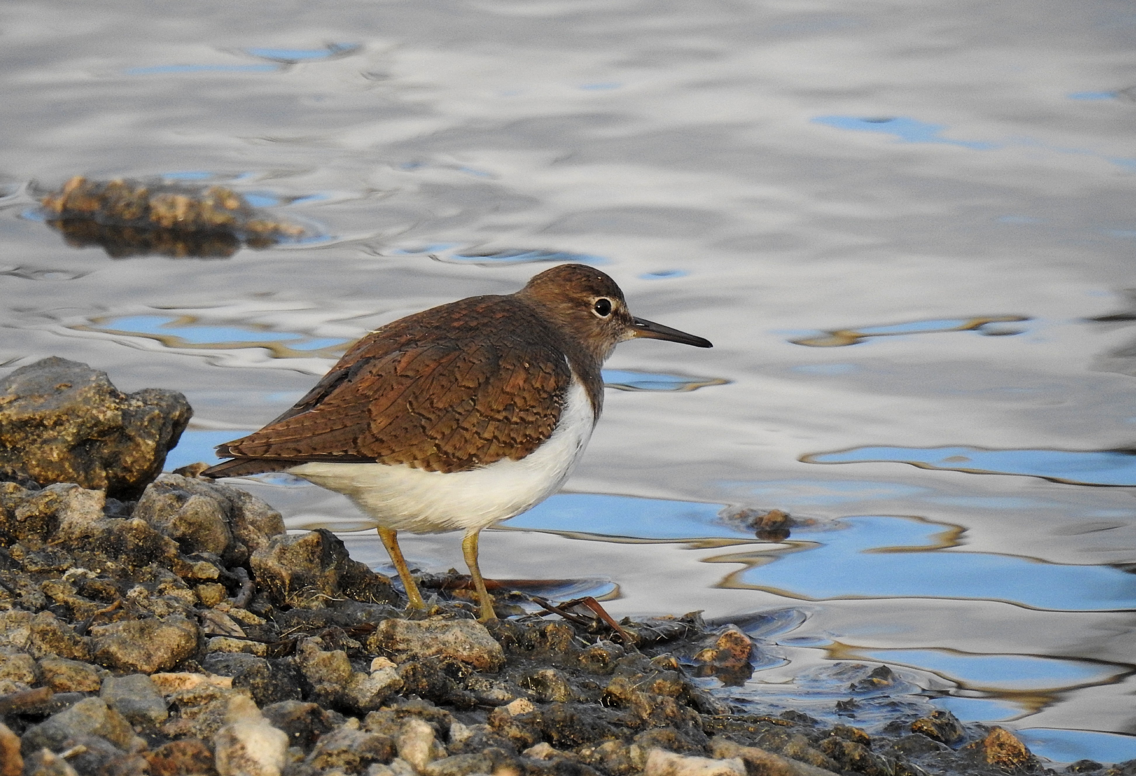
Sandpiper eyeing us suspiciously (photo Matthew Ota)
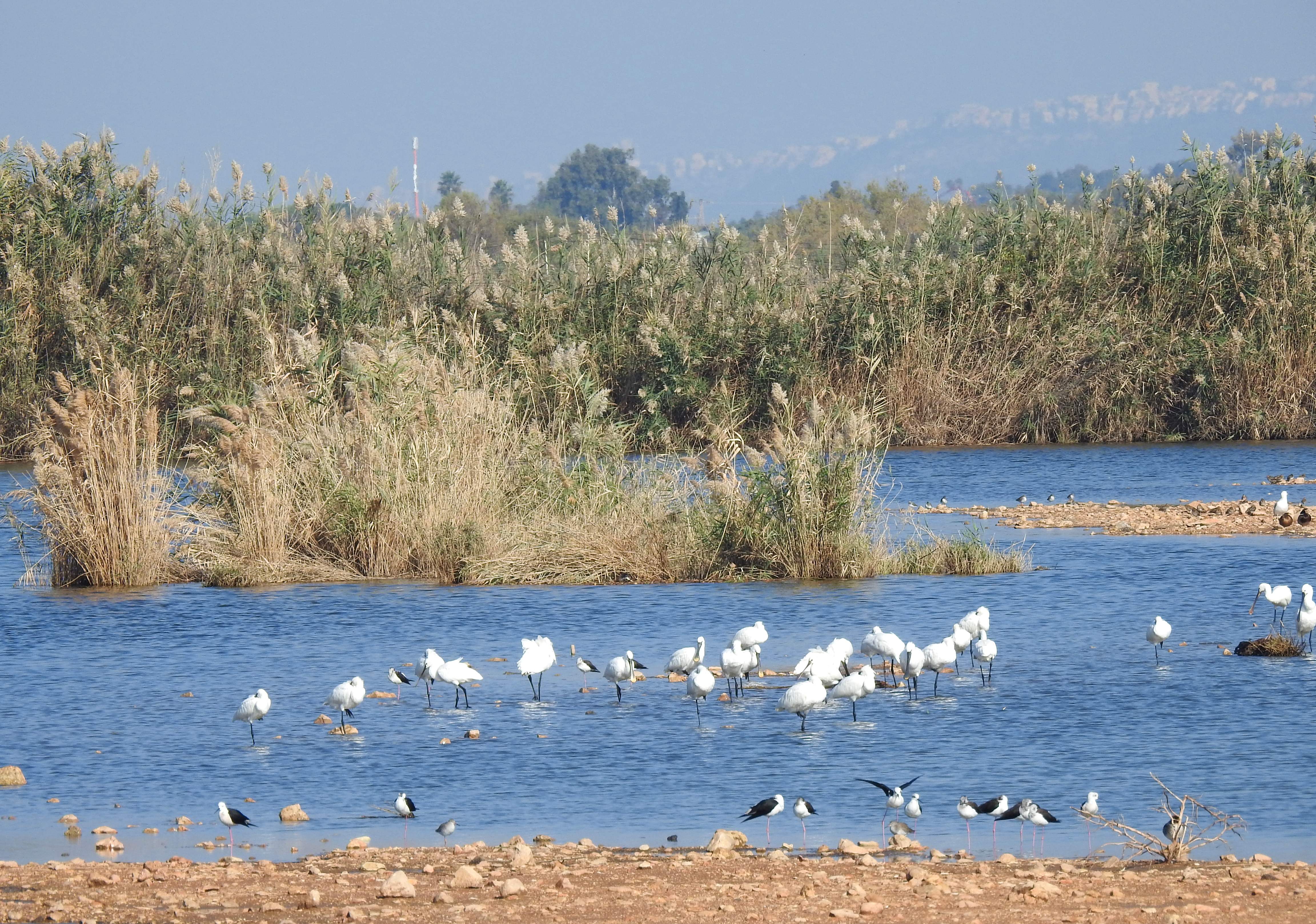
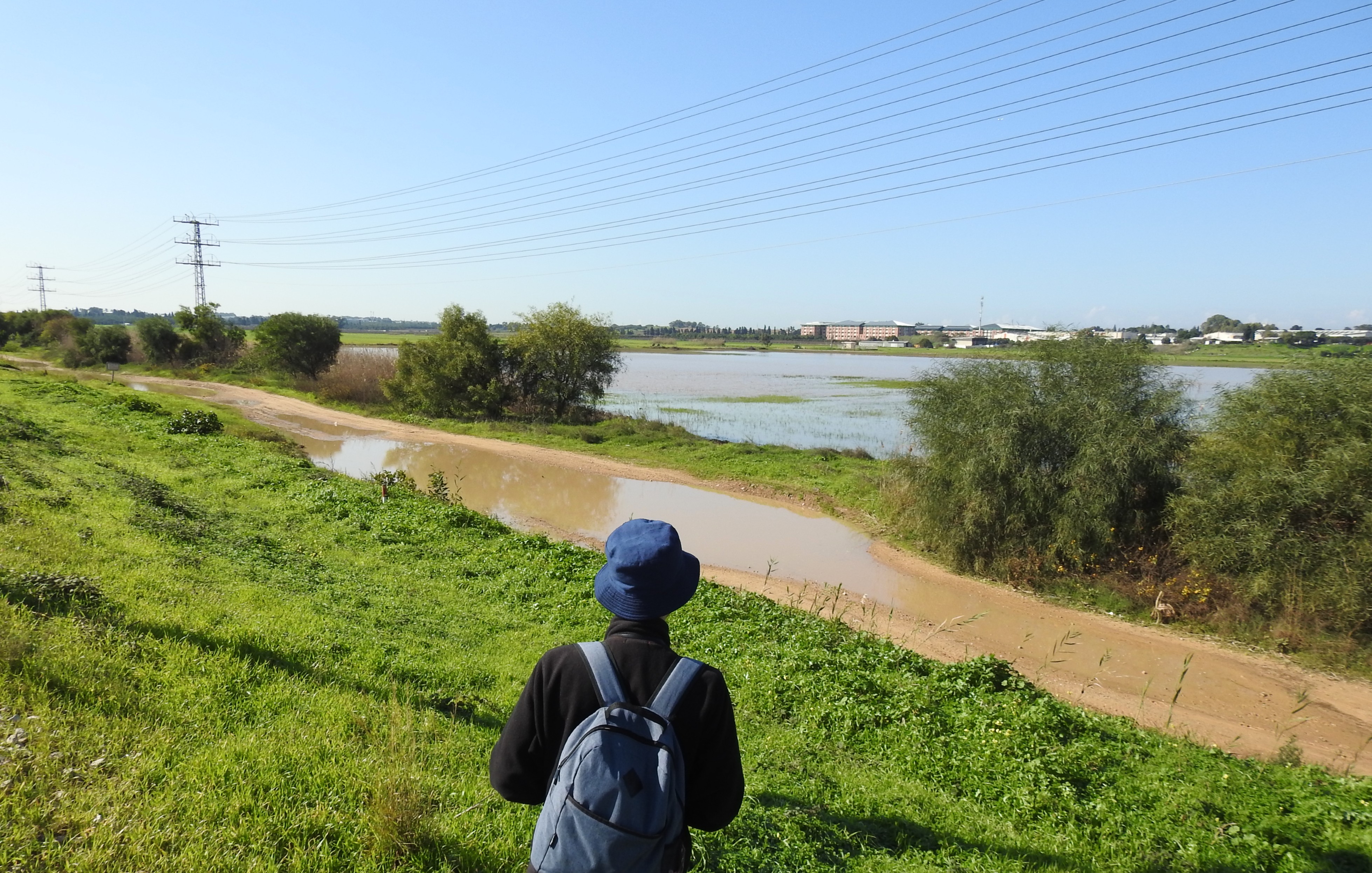
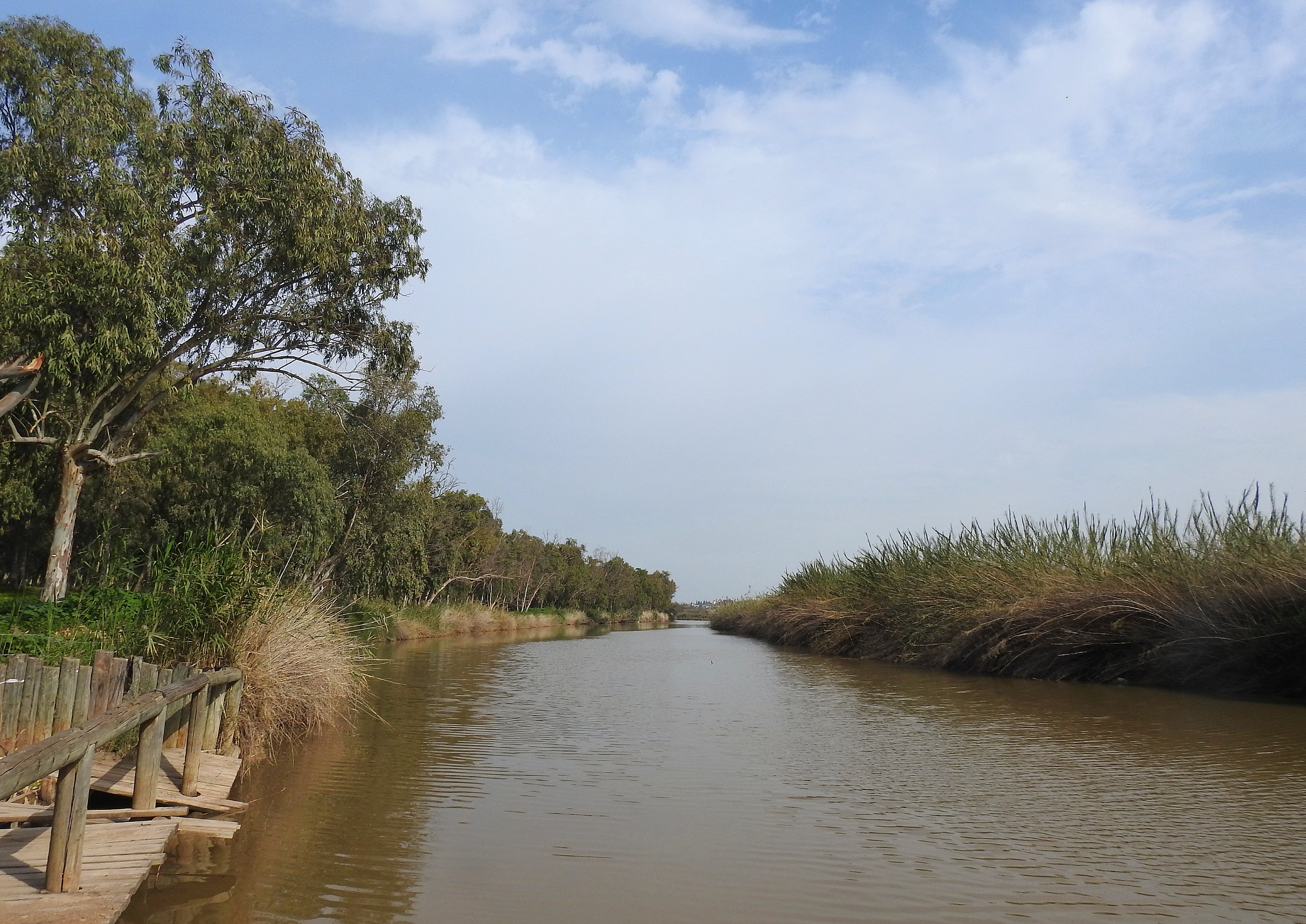
We turned off the main drag to explore a bit more of the northern Difle marsh, learning that it is somewhat synonymous with Nachal Dalia which begins further east and drains into the Mediterranean. A sizable flock of spoonbills was resting in the shallow waters, joined by herons, pied avocets and dabbling ducks. Upon further examination on our return journey, we also managed to spot a handful of common snipe and a cheeky nutria that paddled among some marbled ducks – so much to be excited about!
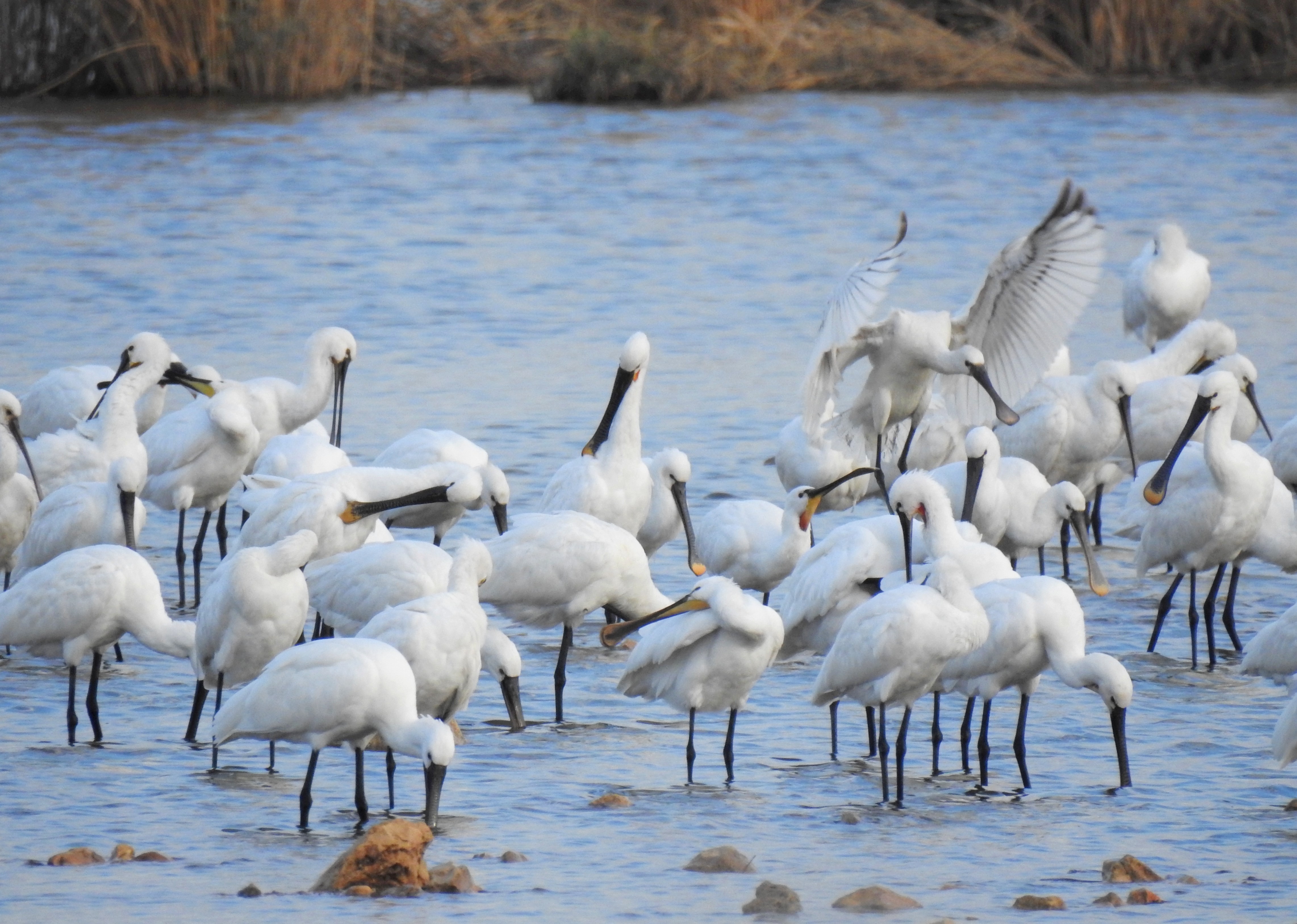
Closer look at the spoonbills (photo Matthew Ota)
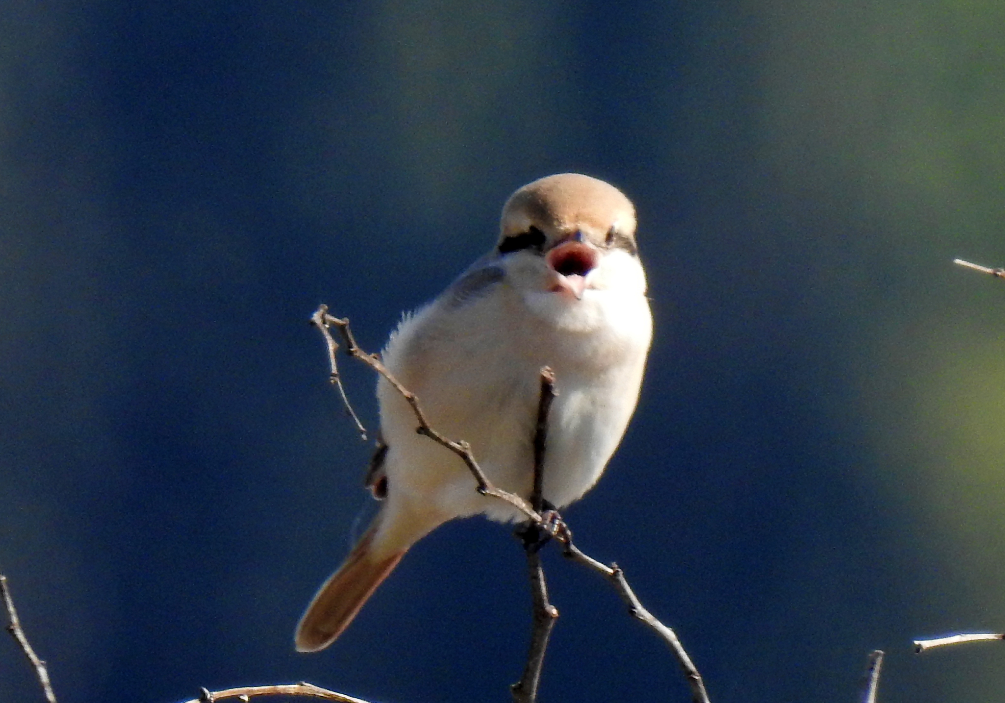
Yet, it wasn’t the birds in the water that captivated our attention the most. There were some very loud Cetti’s warblers calling from the reeds and waterside shrubbery as well as one or two clamorous reed warblers which were challenging our photography skills as they darted in and out of sight. Ultimately, our steely resolve and endless patience paid off and we were all able to get enough photographic evidence to clinch the correct identification.
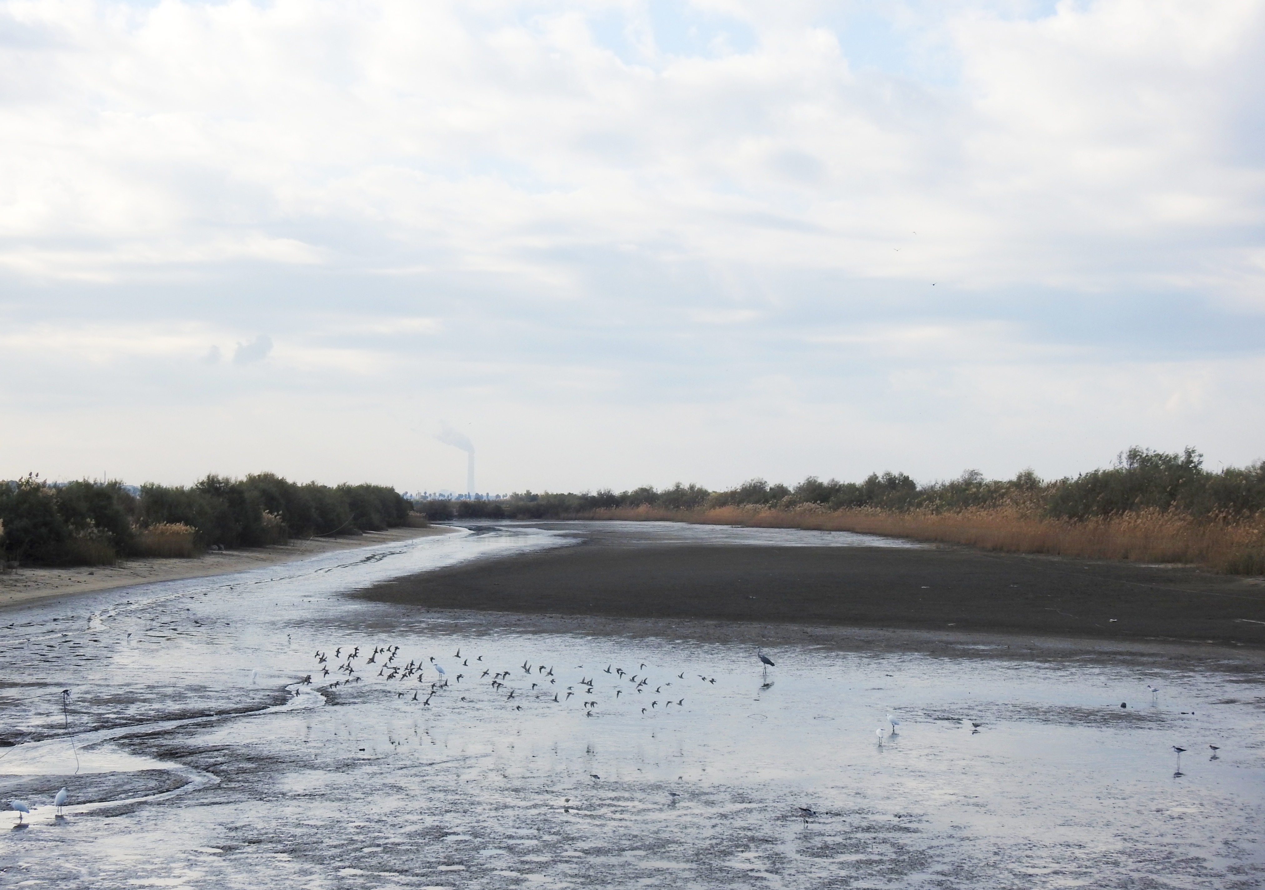
The muddy fishpond teeming with life
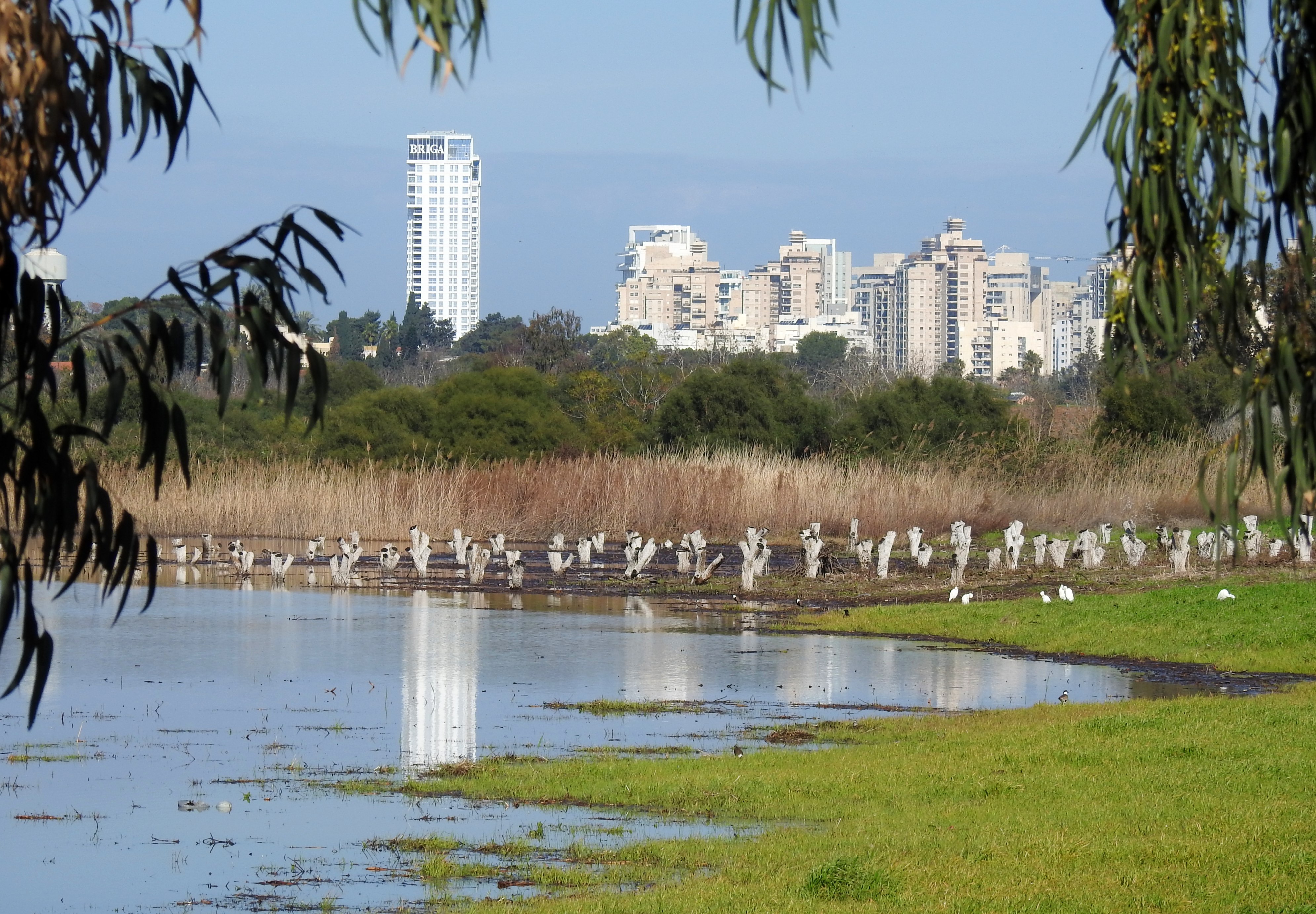
Moseying our way back to the main stretch, we passed by a few optimistic fishermen (and boys) and continued on to the artificially-created fish ponds. More and more waders were to be found, and photographed, all poking about in the nutrient-rich mud for tasty morsels. A most-welcome citrine wagtail dipped about in front of us, as well as a few water pipits. At this point, we were all very much satisfied with the proceedings of this birding adventure, yet only an hour and a half had passed and there was still so much to see.
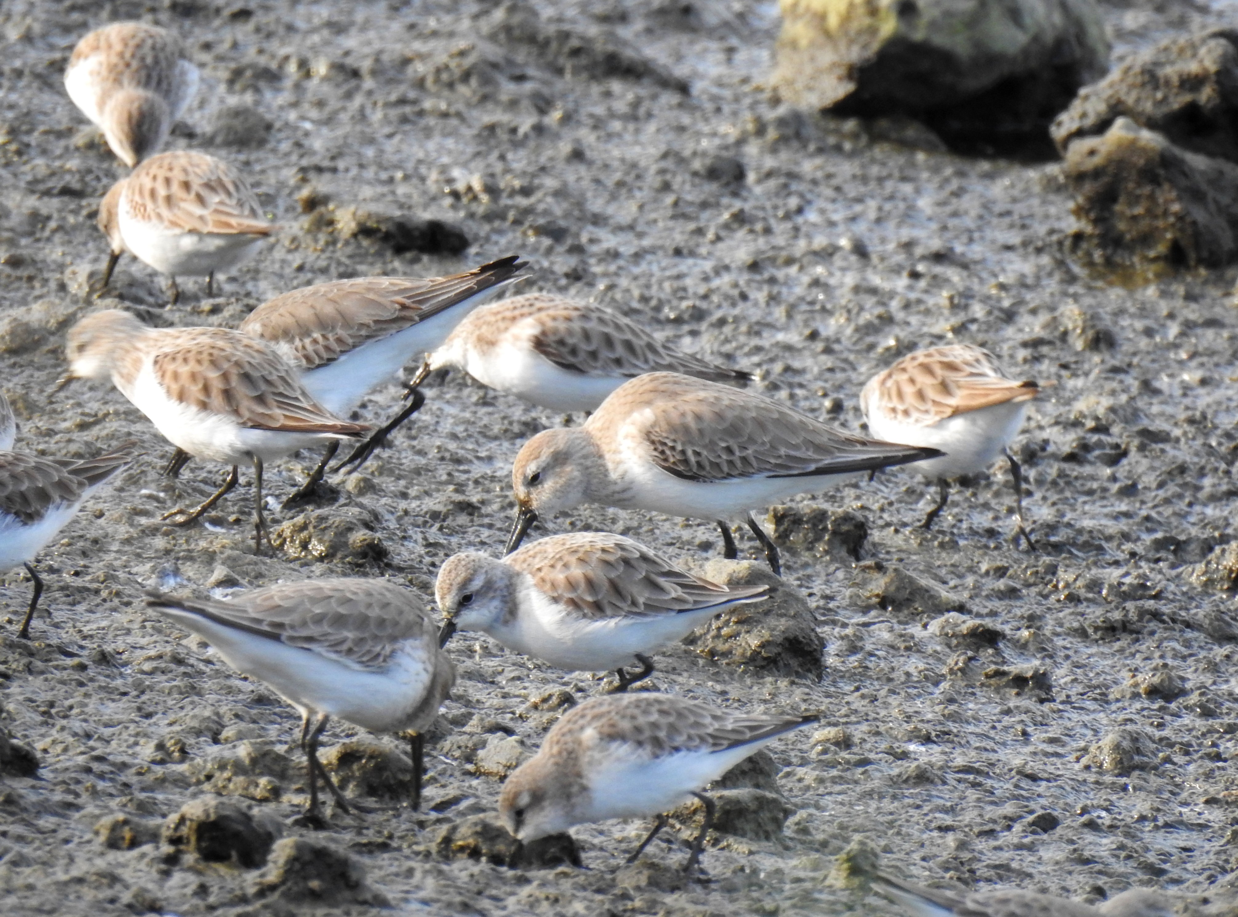
Hungry shorebirds feasting in the mud (photo Matthew Ota)
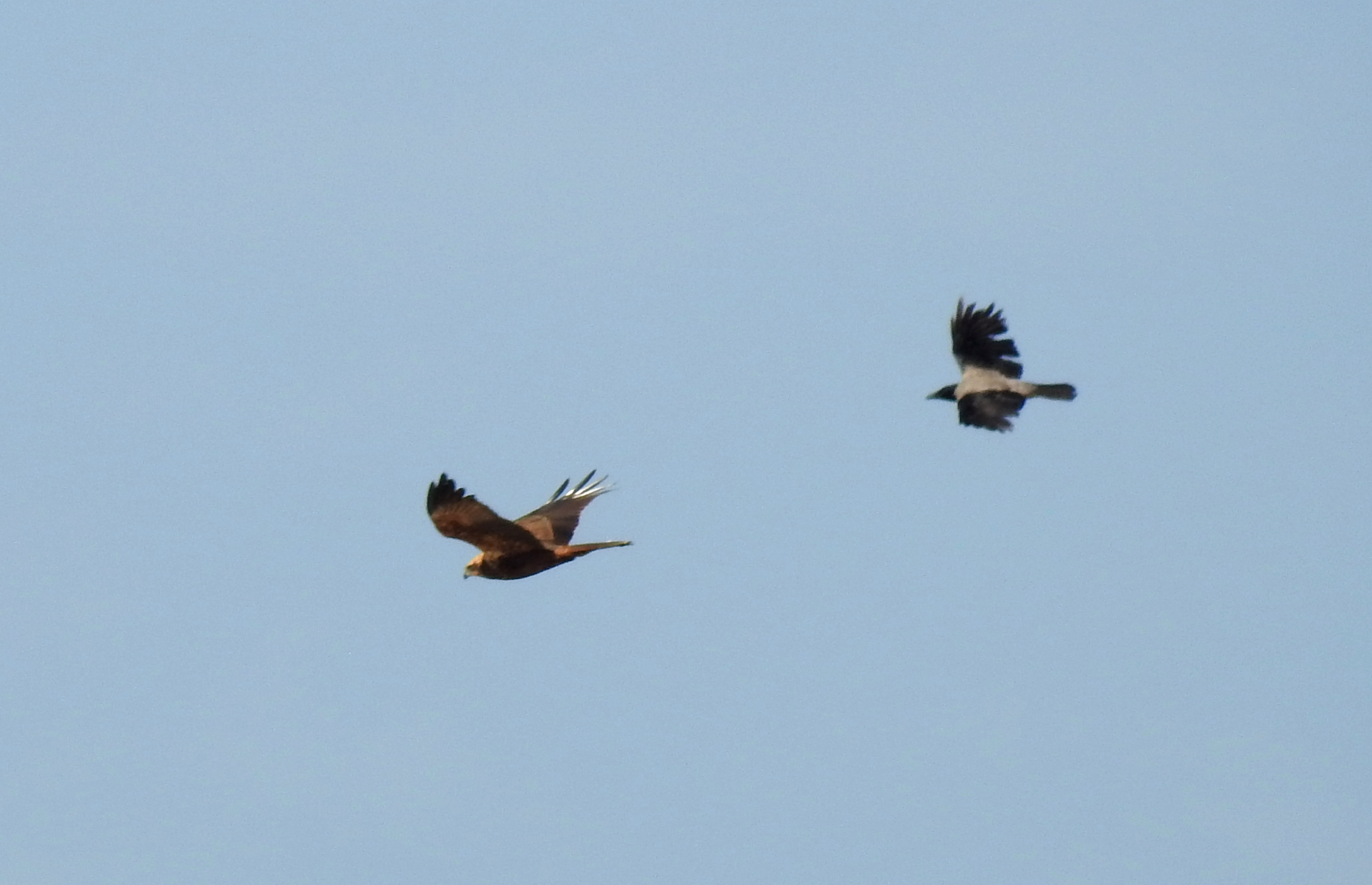
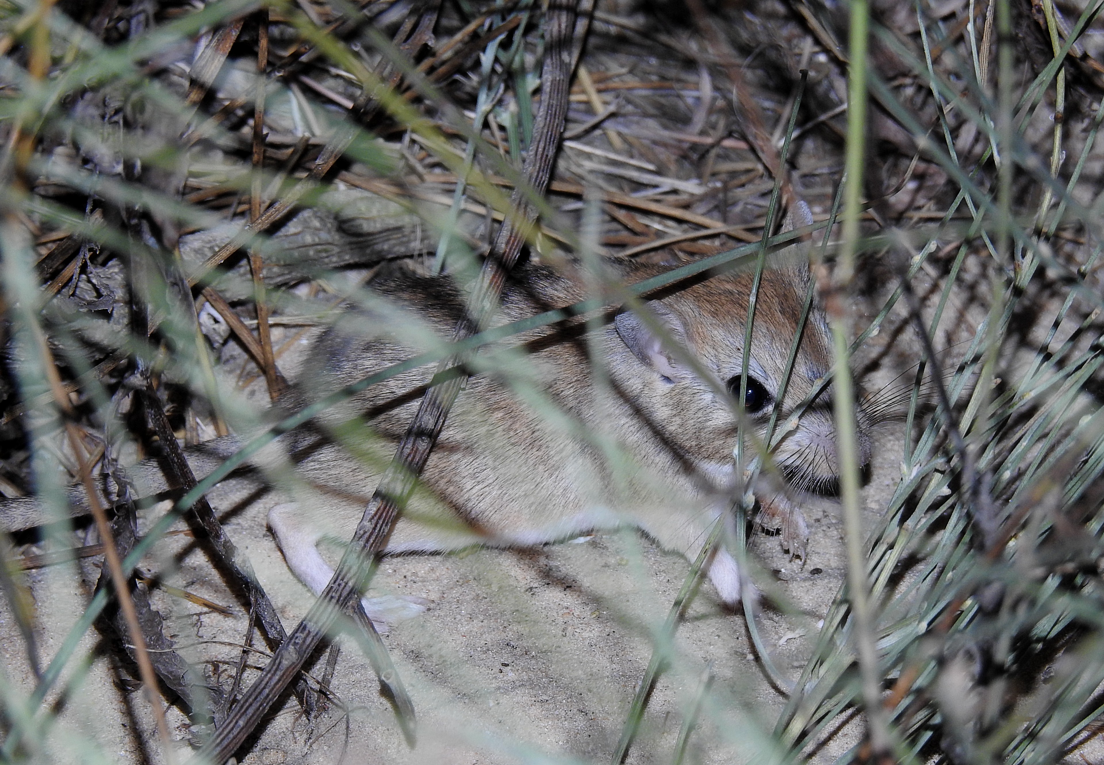
Then, quite unexpectedly, an Egyptian mongoose popped out just in front of us and began stalking its way through the mud. Some of the birds nipped off, at least to a safer part of the pool, and others just kept poking about, ignoring the skulking mongoose. Alas, nothing eventful happened and the mongoose disappeared into the bushes on the far side of the pond. It was around that time that a very noisy bluethroat began distracting us, and all three of Israel’s kingfisher species made an appearance almost simultaneously.
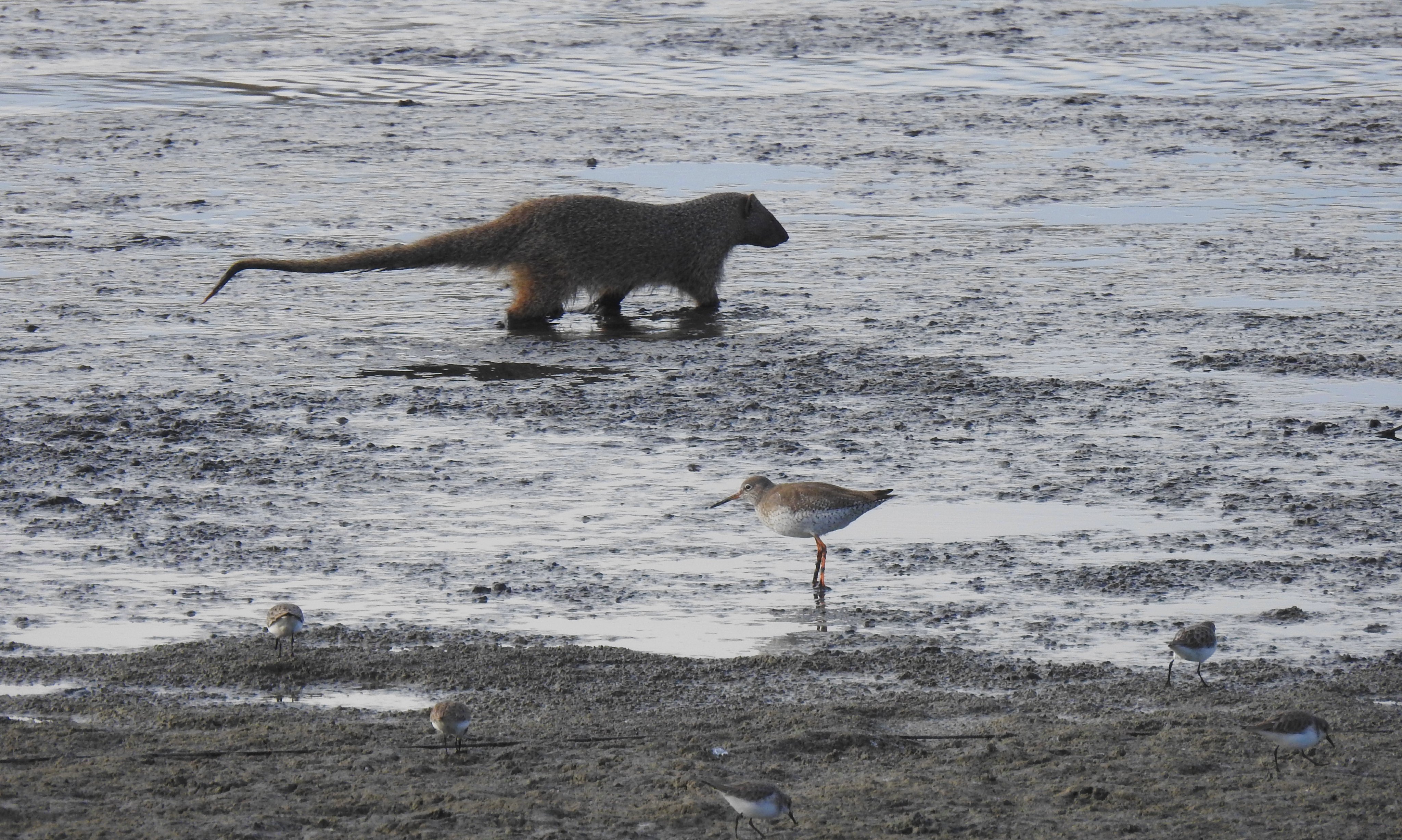
Egyptian mongoose sneaking past the hungry waders
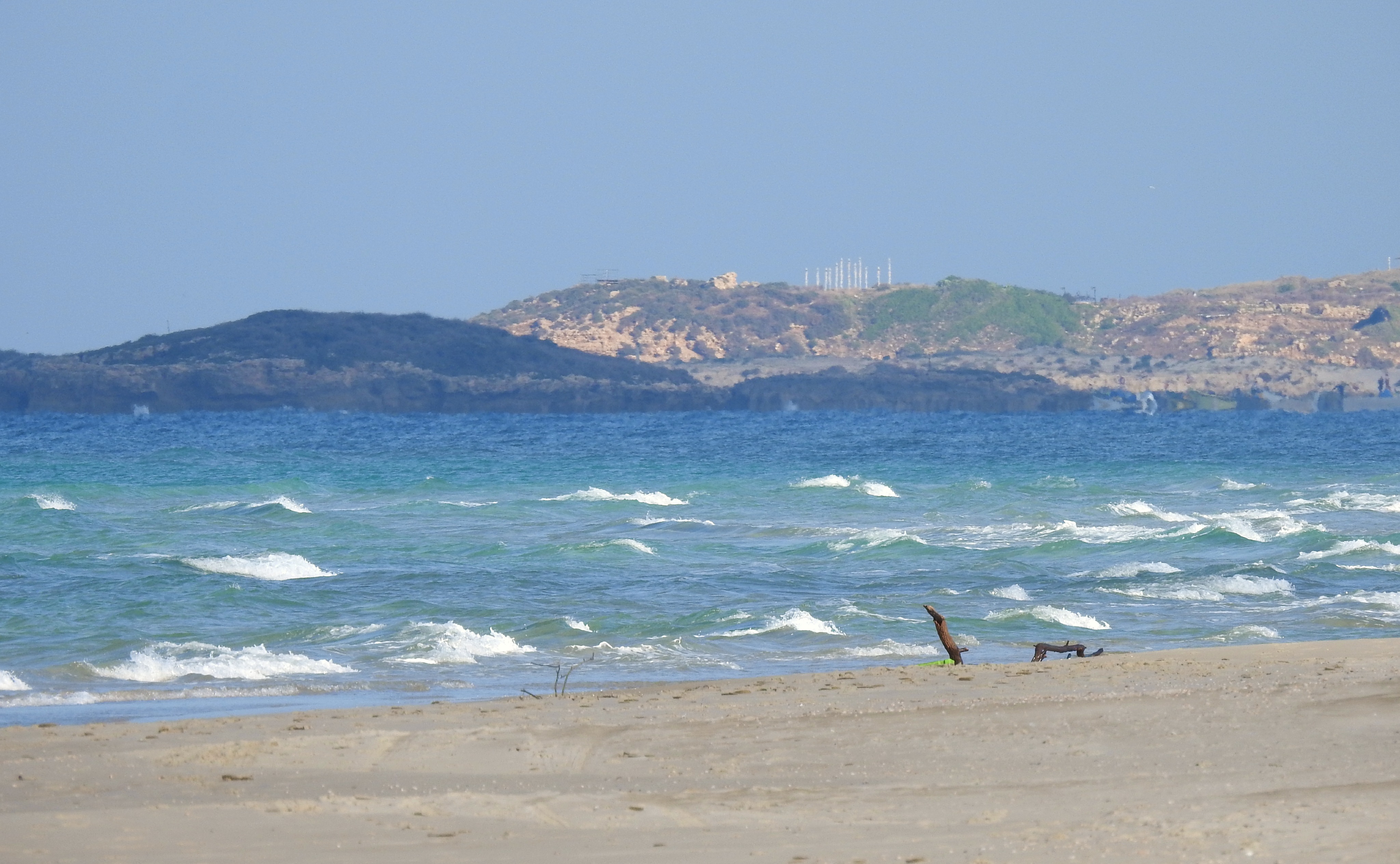
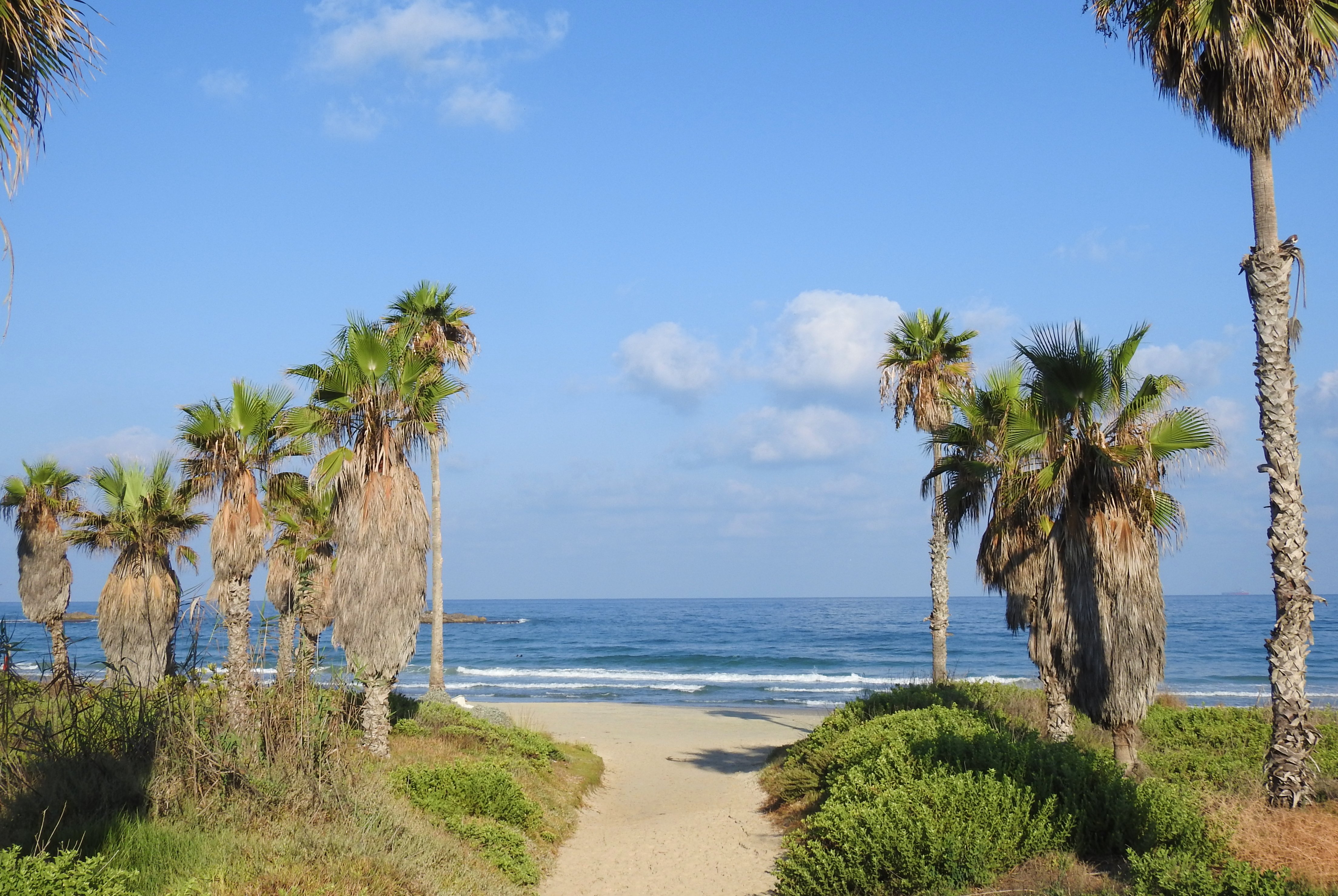
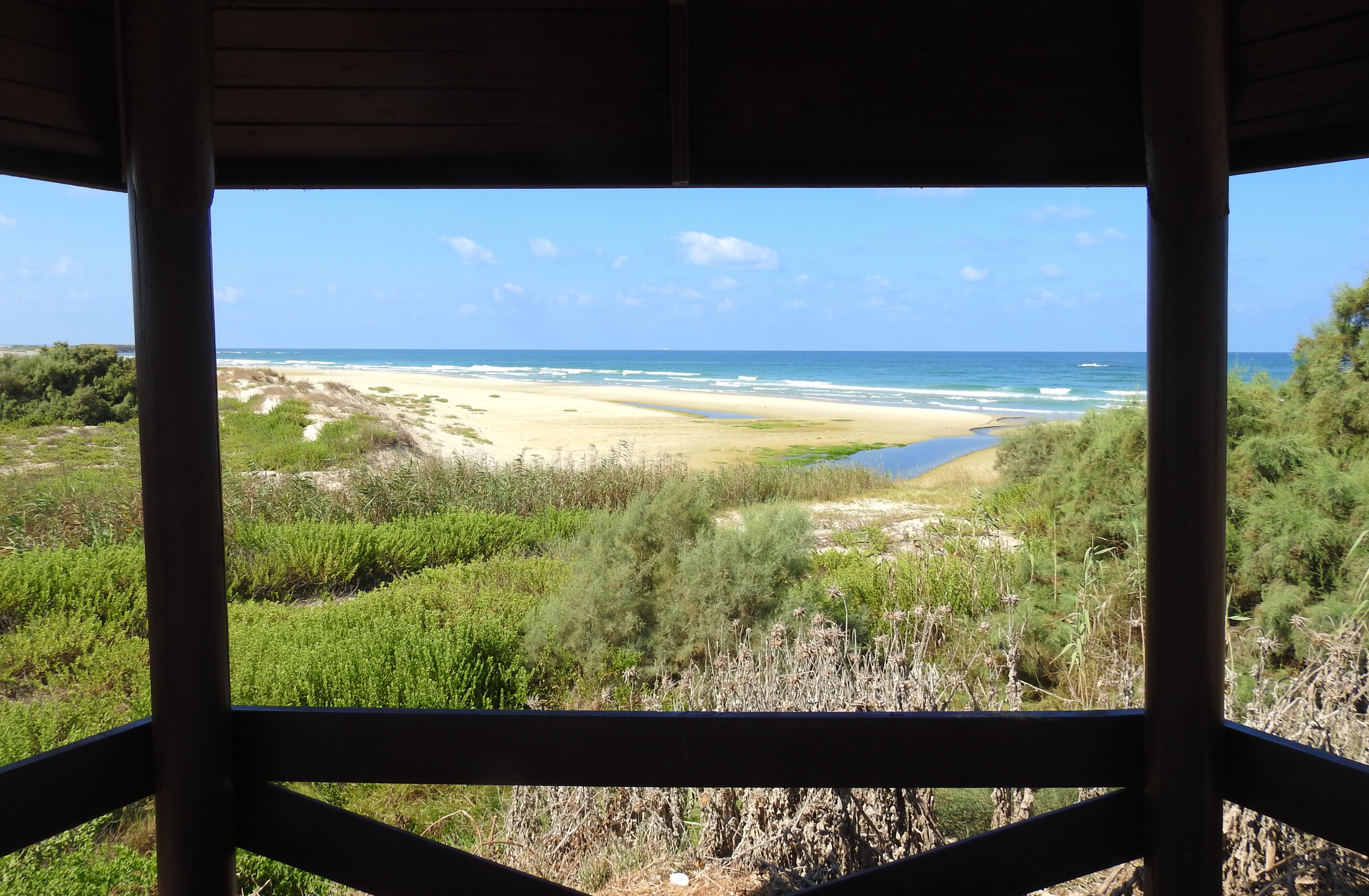
We then made our way to the sandy coastline, just a few steps past the end of the final fish pond. We spotted a few more mongooses as we made our way down to this tiny natural pond and a water channel that snaked its way through the sand to drain into the sea. Here I was hoping to see some delightful sea birds, or at least some interesting gulls and terns, ideally even new species. Yet, the skies were as empty as the beach, with nary a bird to be seen. Refusing to give up, we ambled about a bit and rustled up some gulls far off on the beach to the north, as well as some ringed plovers resting by a distant piece of driftwood.
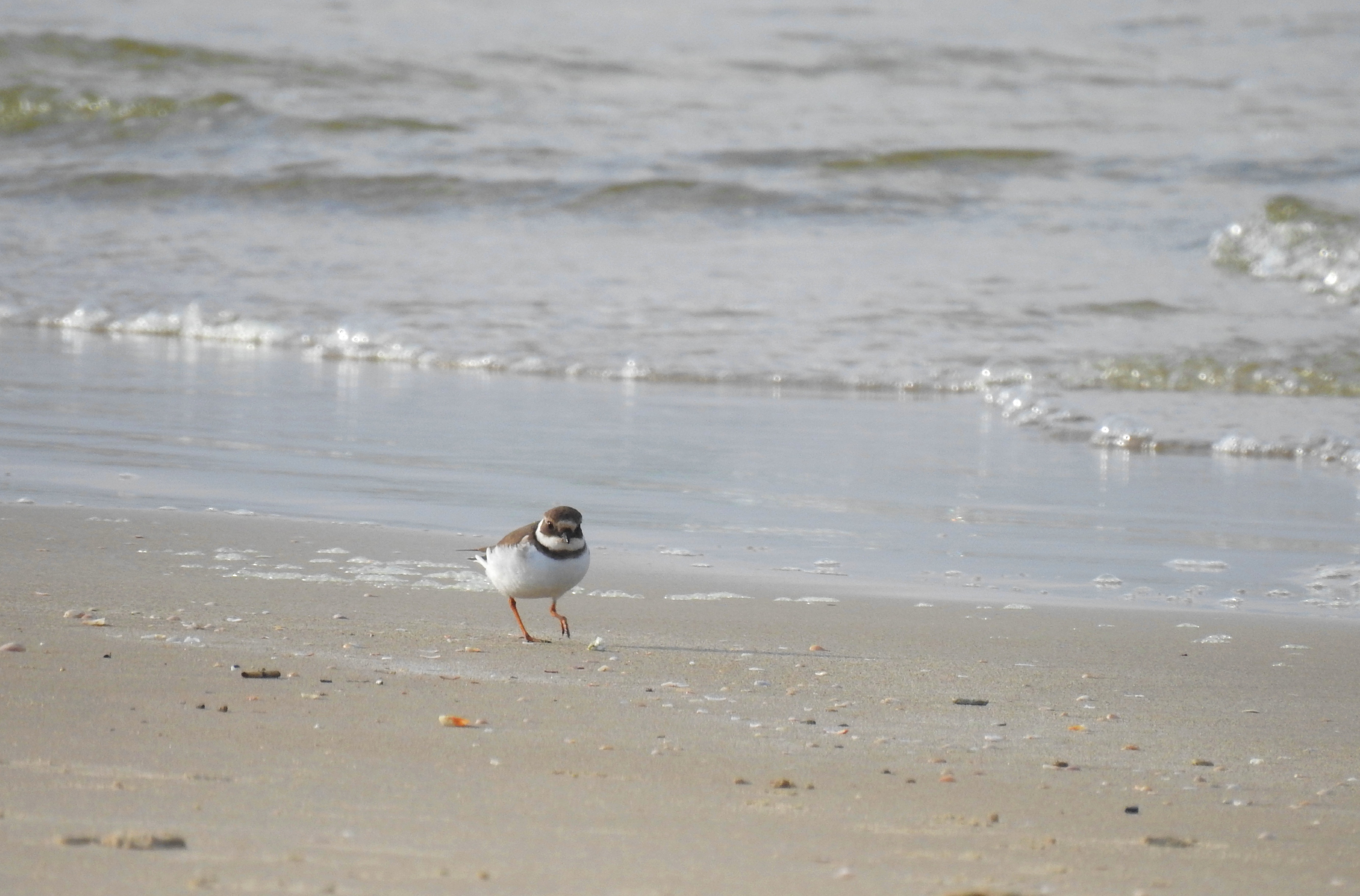
Ringed plover along the surf
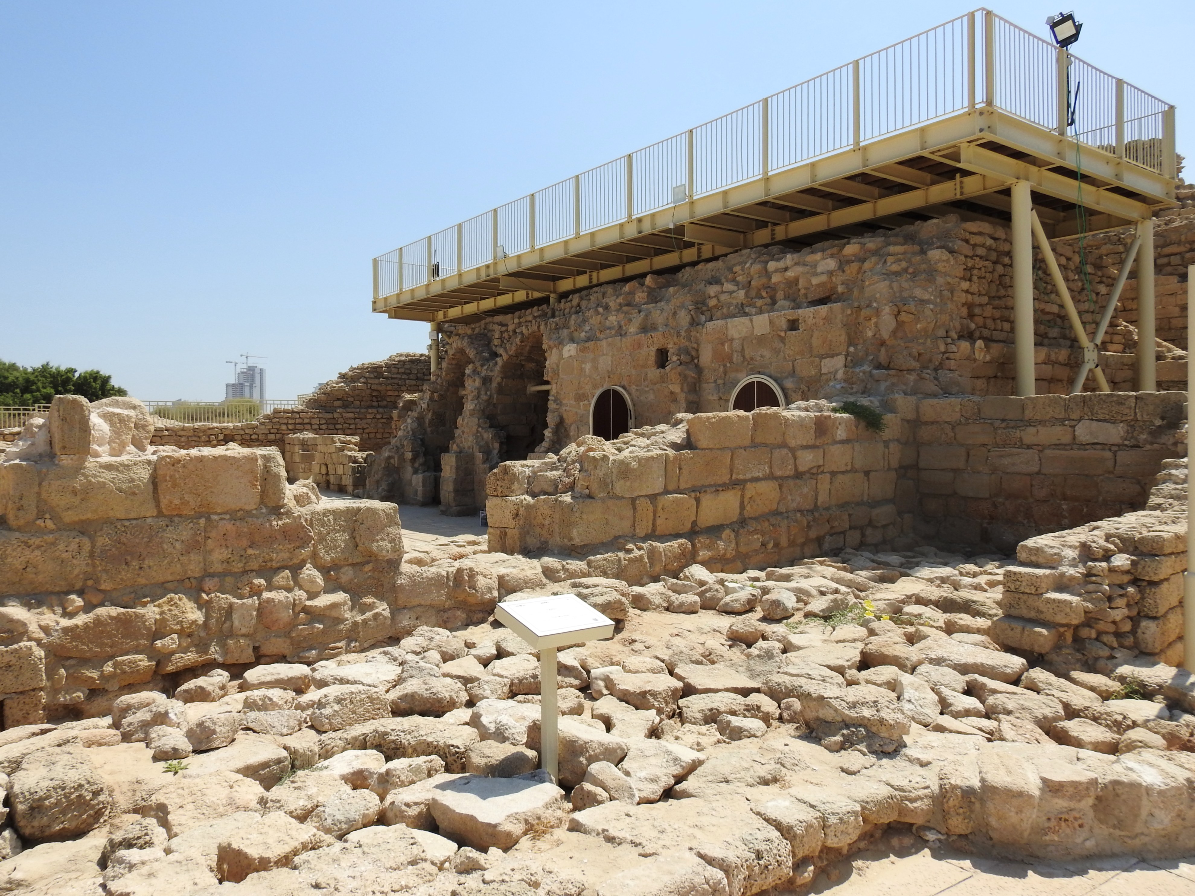
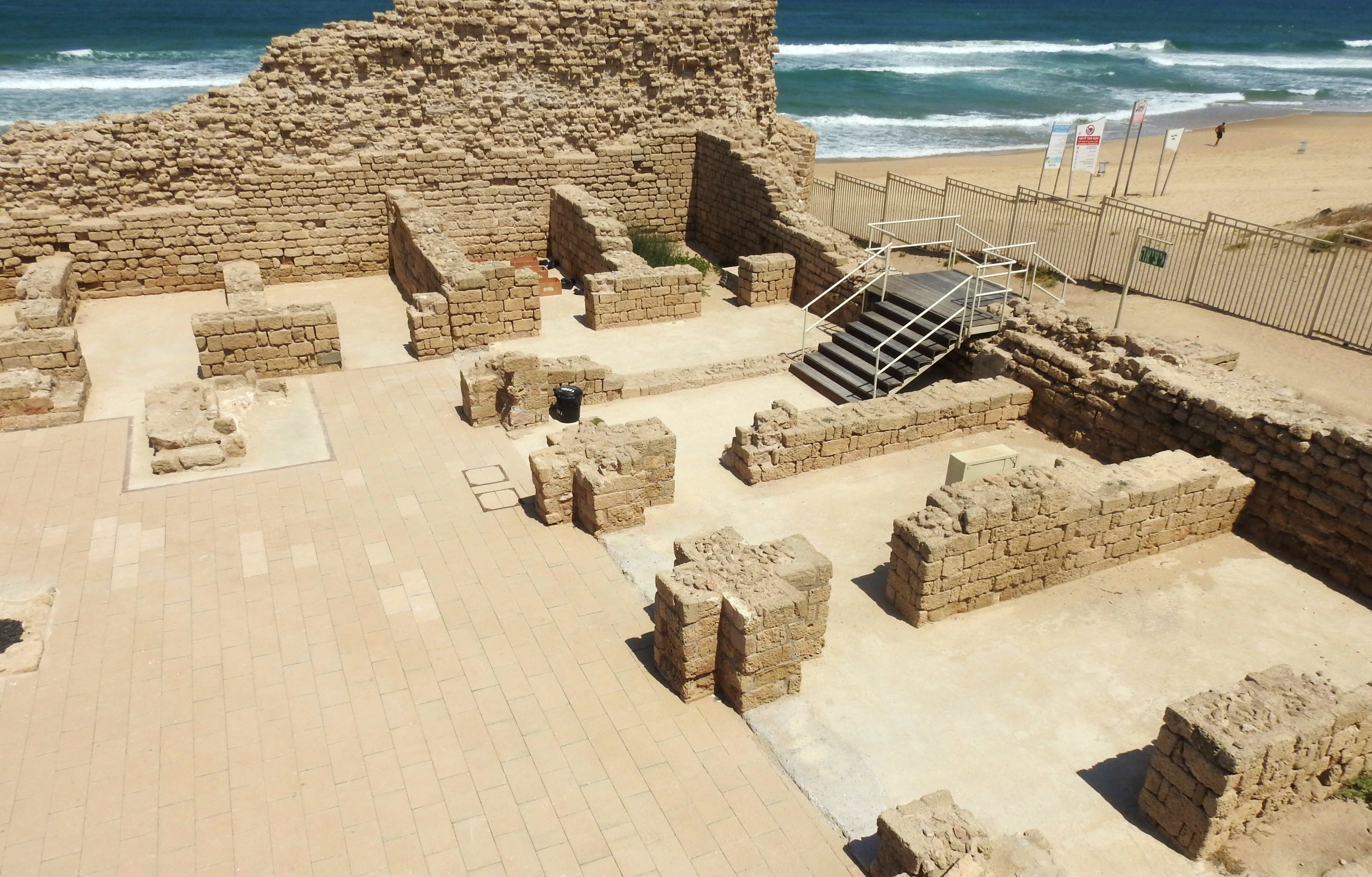
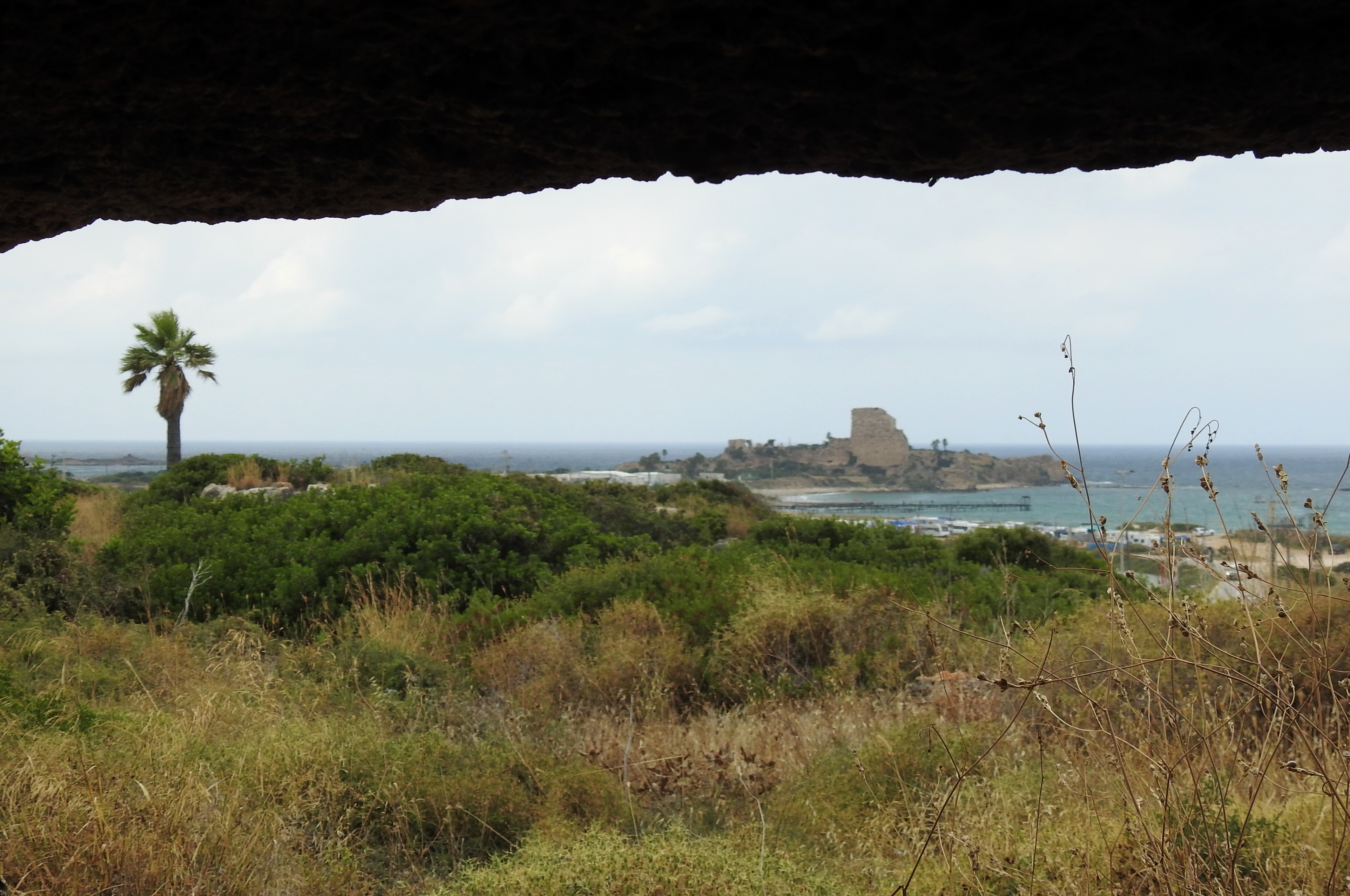
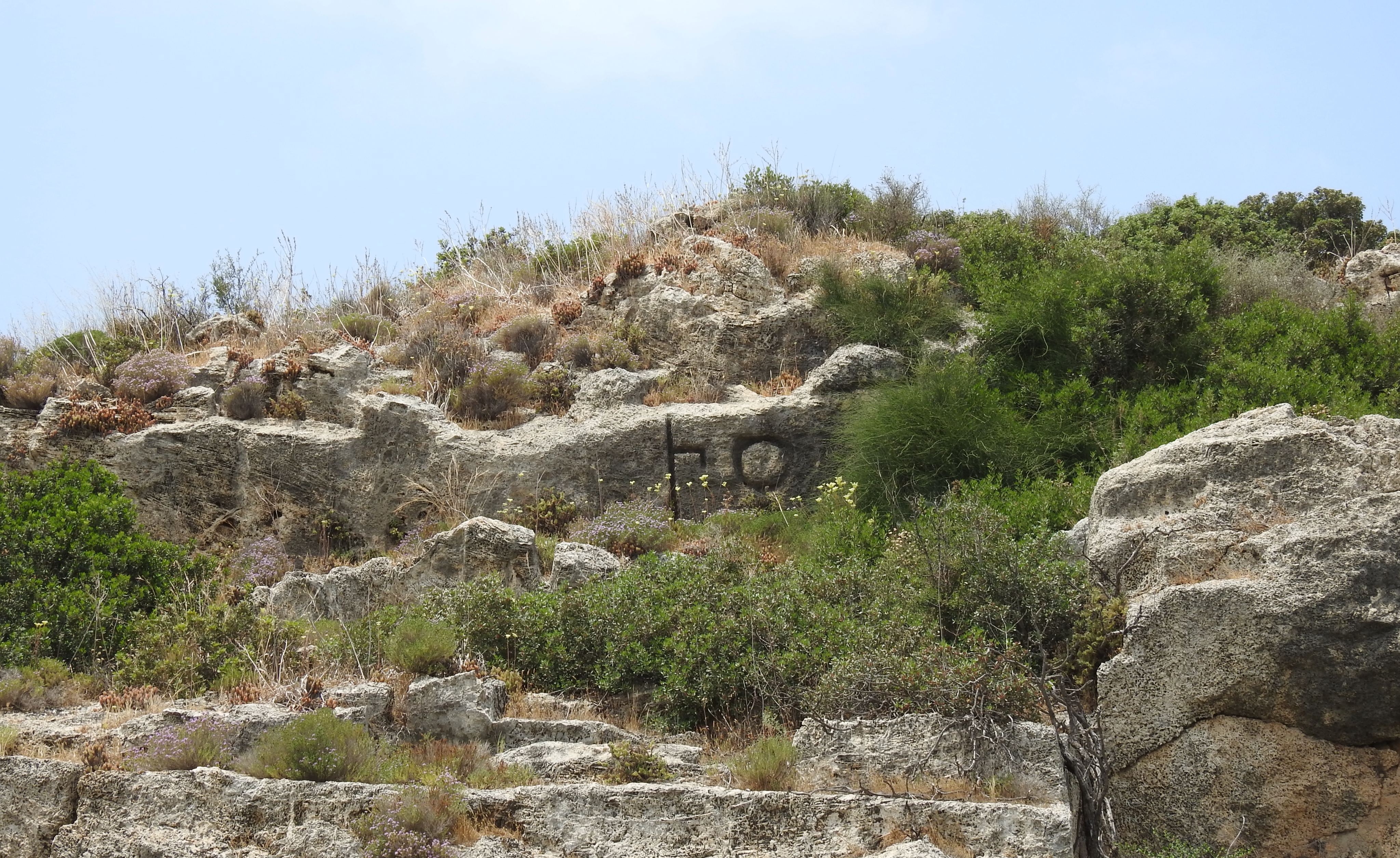
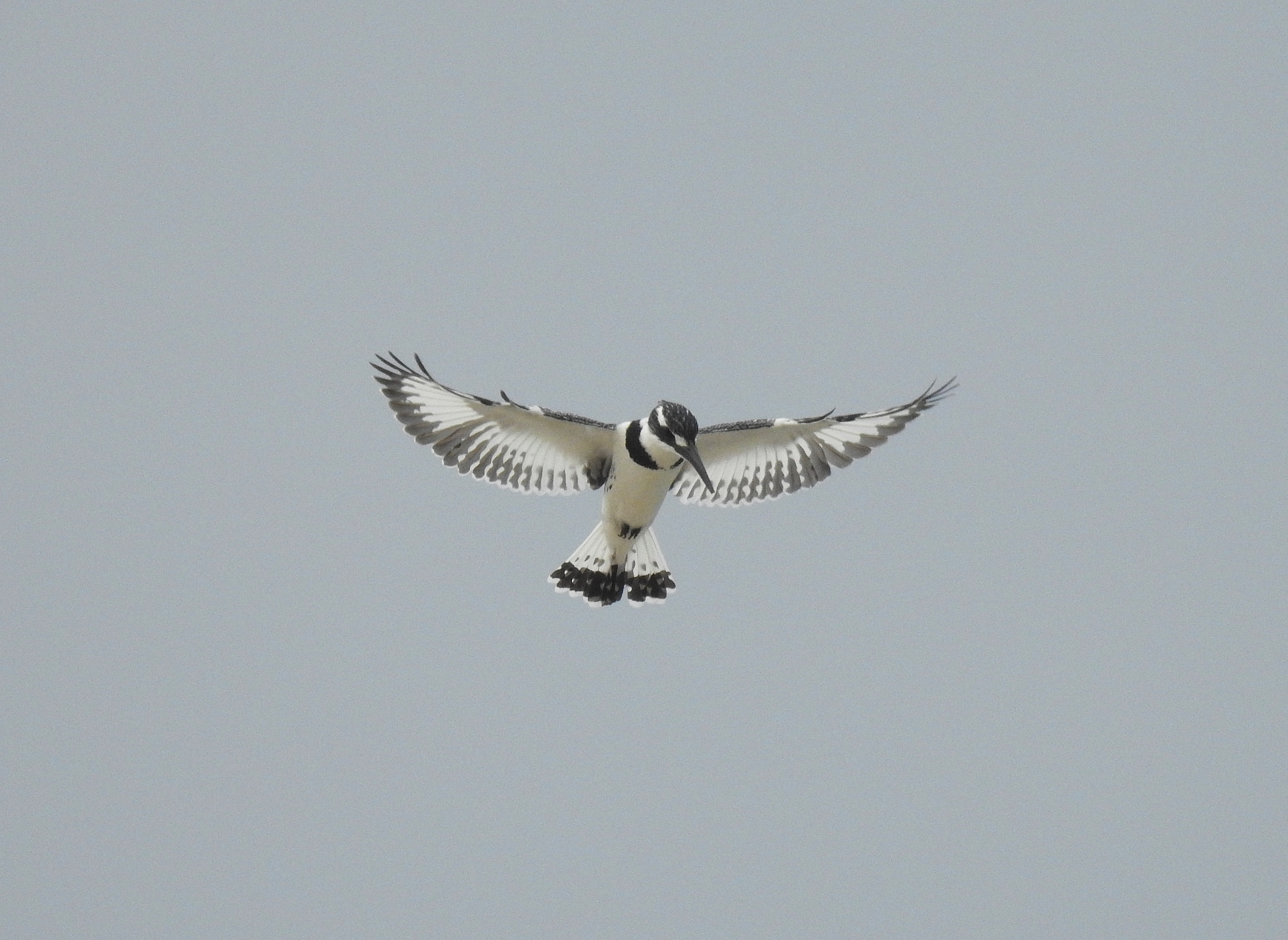
When looking north, I recognised the delightful Tel Dor where I had visited a number of times, and even volunteered for a day’s digging at a seasonal archaeological excavation (see HERE). Eventually, our patience paid off and some gulls and terns came drifting by, beginning with a Pallas’ gull – my first ever sighting of this large gull. Truth be told, in retrospect, some of the gulls I had photographed minutes earlier resting on the beach were also Pallas’ gulls, but I hadn’t examined the photos in-field well enough to notice at the time.
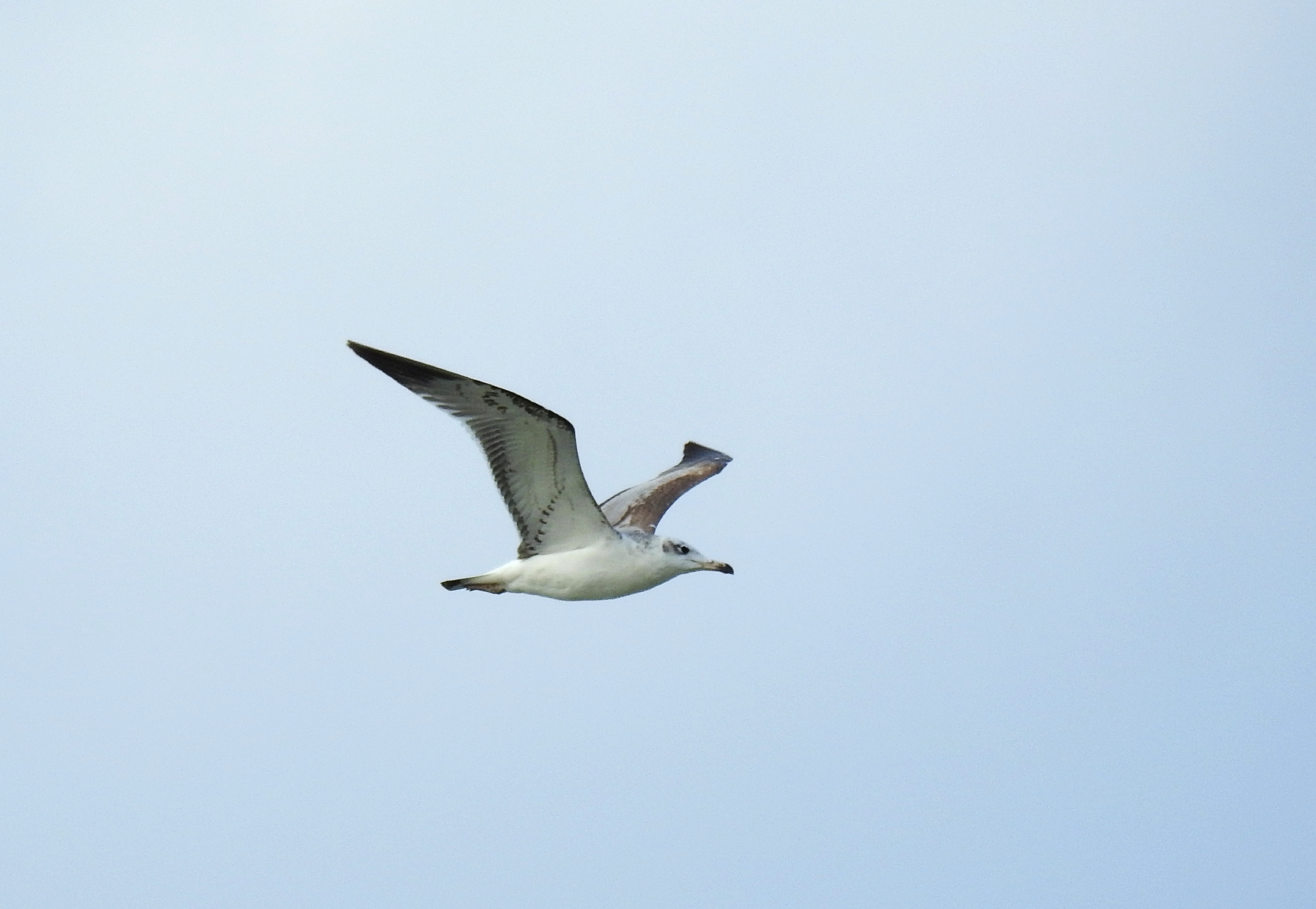
Pallas’ gull flying over the beach (photo Matthew Ota)
As we loitered on the vacant, windy beach, other, more common species of gulls drifted past, as well as a naval vessel that looked like it was dragging a giant parachute behind it. My last sea-going gull that day was an unidentified one, soaring in front of the Leviathan natural gas processing platform anchored ten kilometres out to sea.
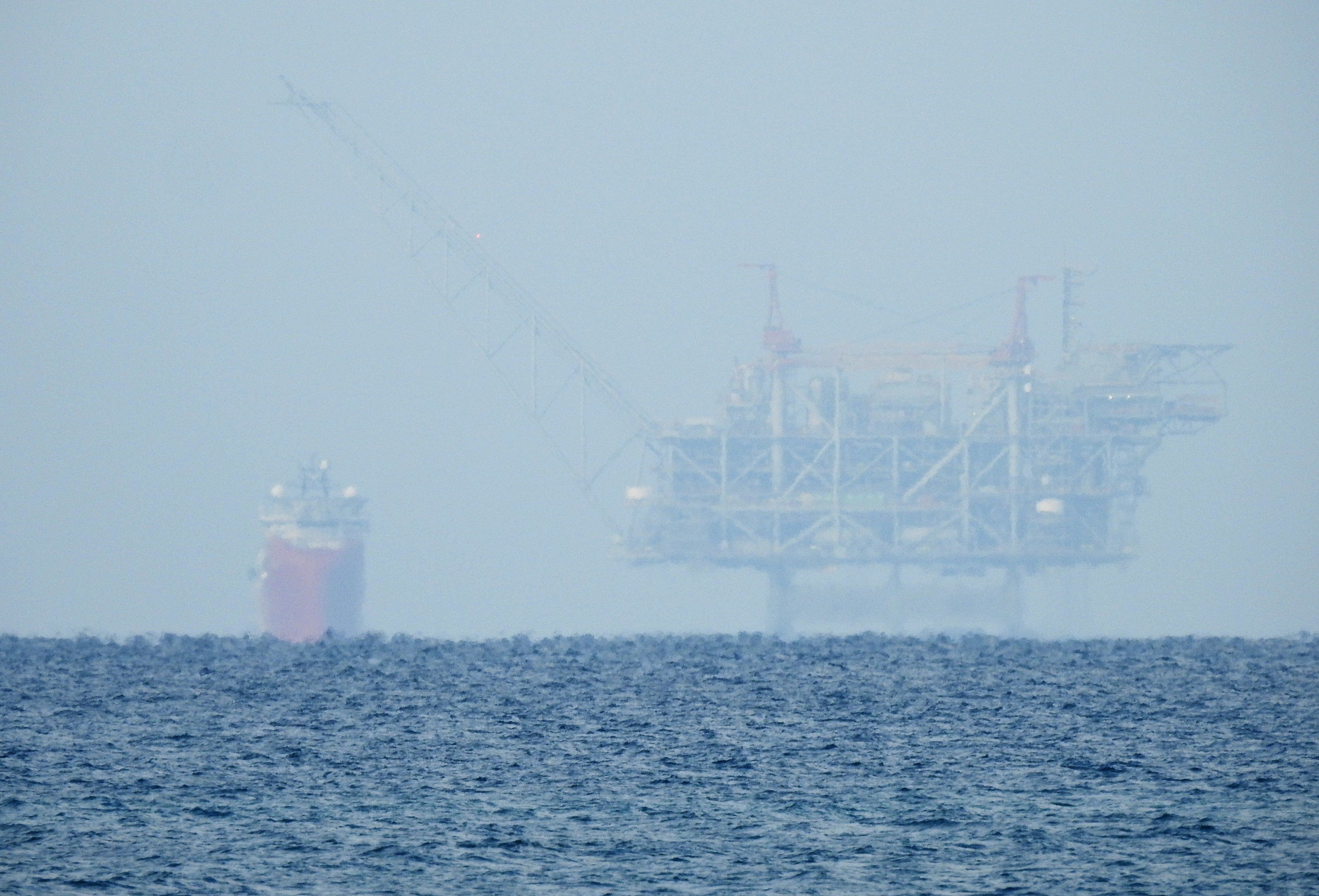
Leviathan platform far out at sea
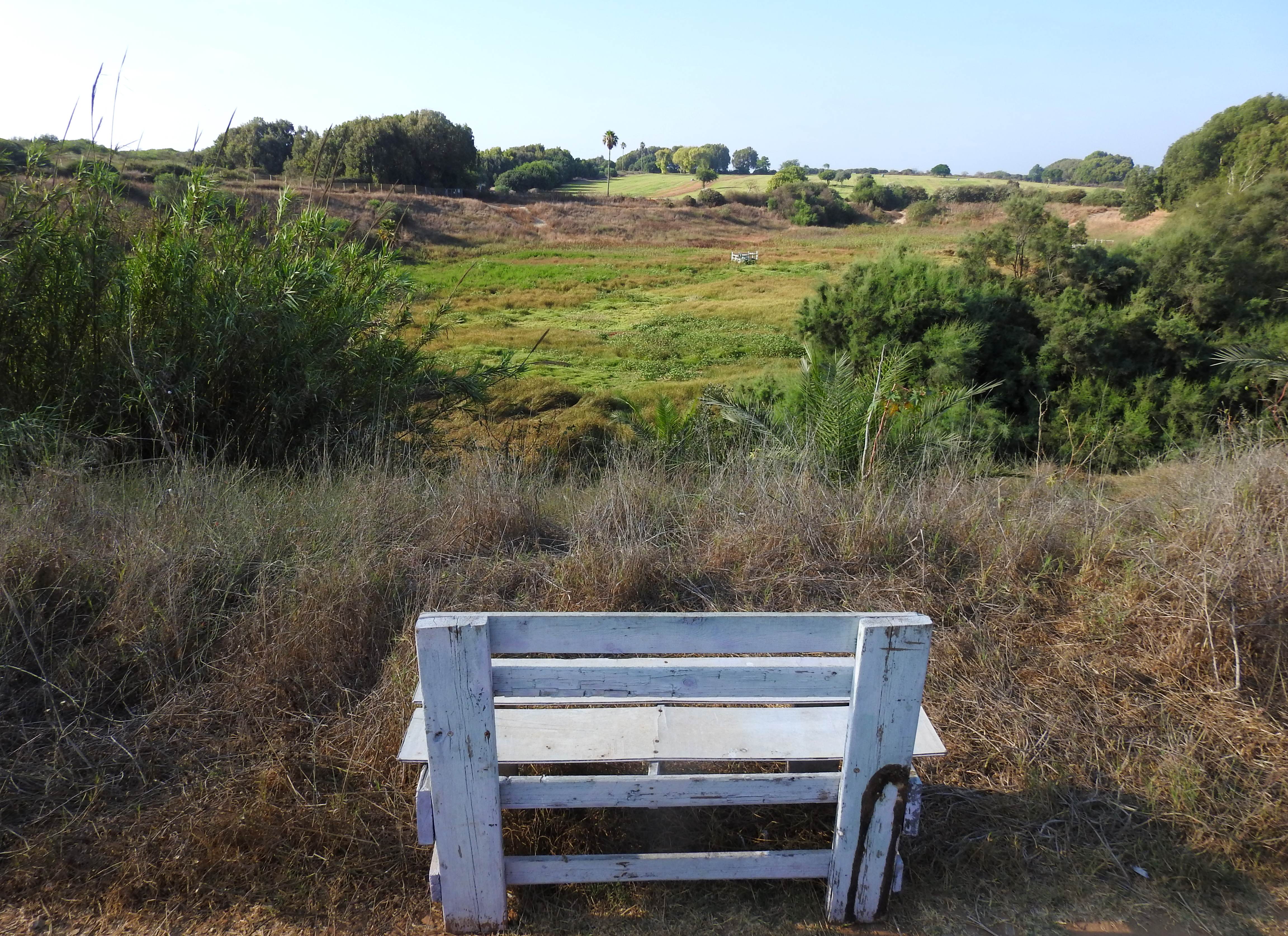
Taking a bit of a break on a grassy sand knoll, we had some hot cocoa and snacks in the company of mongooses and some chatty black-winged stilts, strutting around in the tiny natural pond. When we felt adequately rejuvenated, we began our tour back through the fishponds and to the lush Difle ponds. We saw more of the same, yet the total bird presence dropped dramatically as the morning progressed and the weather got warmer.
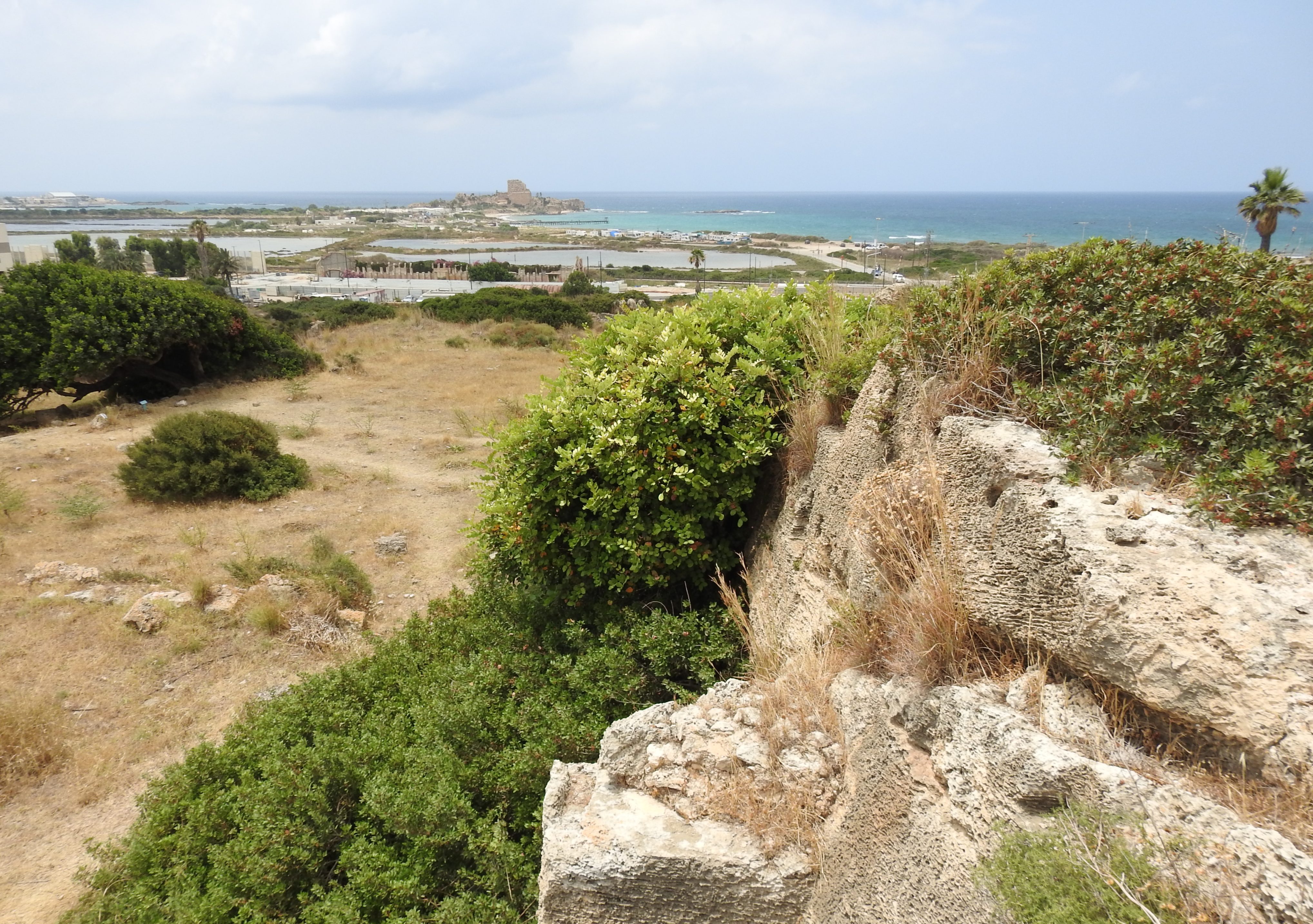
Tel Dor to the north
Whiskered terns entertained us as we reached the northern Difle, my preferred of the two based on this trip alone. We kept our eyes peeled for little gulls, seeing none, and practiced our photography skills with the birds that did grace our presence. A few black storks and a great white pelican made for a monochromatic airshow overhead, those being the last notable birds seen before we got back into the car. With the drive back out to the highway taking us past another, empty, fishpond, we saw some more species that Matthew was keen to photograph and then headed back to our rendezvous point to say our goodbyes.
Water-loving birds in the northern Difle pond
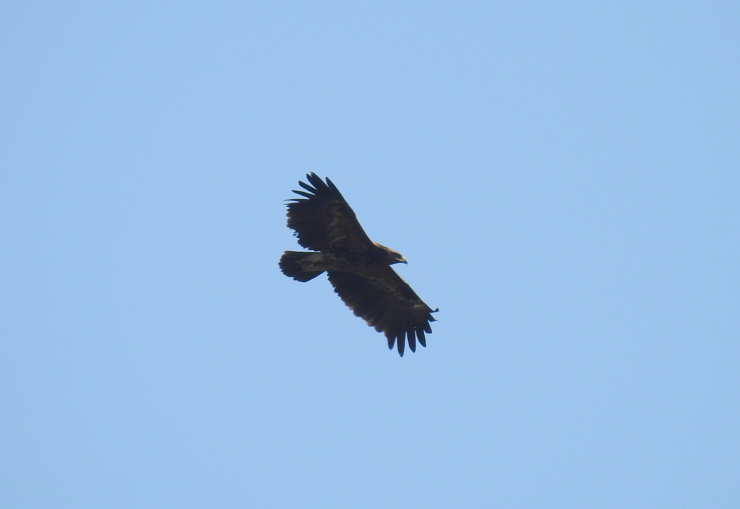
Ultimately, it was a rewarding morning of quality birding, clocking in at least sixty avian species and highlighting some key Israeli habitats all accessed on foot within minutes of one another. What more could we have asked for in only a few short hours, perhaps a quick drive to the Hai Bar Carmel where both imperial eagles and cinereous vultures were spotted that same morning…


