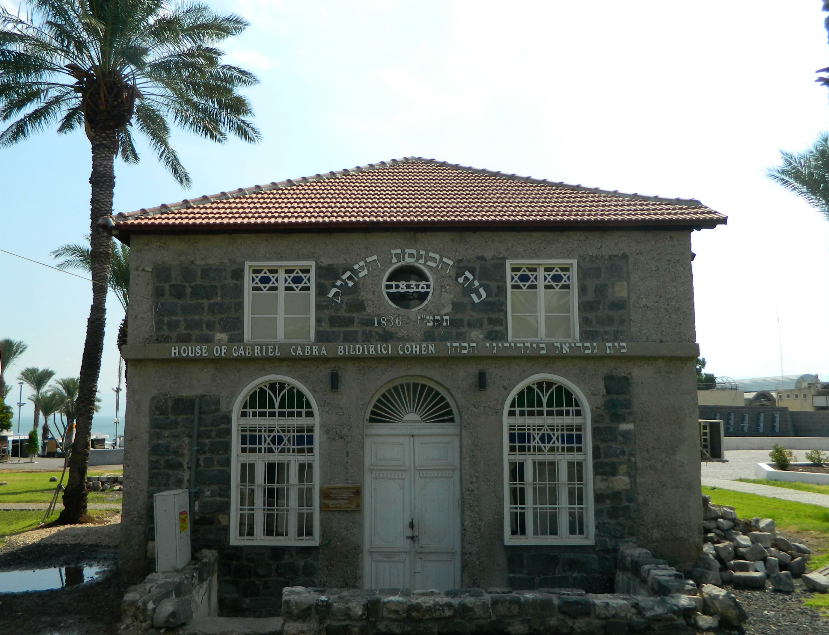
Continuing on with the trip my father and I took to the city of Tiberias in August of last year, we left the Old City and drove up the hillside in search for a number of keverim – holy tombs of Jewish sages. Being that Tiberias is one of Judaism’s four holy cities (the others being Jerusalem, Hevron and Tzfat), the Jewish presence was strong in the lakeside town for thousands of years. Many great rabbis called Tiberias and the surrounding villages their home, and thus many were buried throughout the city over the generations.

The Maimonides Heritage Center
Our first stop was to the kever of the Rambam (Maimonides), a great scholar, philosopher, author and physician who lived in Spain and North Africa in the 1100’s. Interestingly enough, the Rambam was appointed physician to Saladin (of Crusader fame) and it is believed that through his position in the Ayyubid sultan’s court he was able to ransom Jewish captives from the hands of the Crusaders. The Rambam passed away in Egypt and his body was taken to Tiberias for burial, where today it is a city landmark.
Jews of all sorts praying at the kever of the Rambam
We spent a few minutes at the kever, pausing at neighbouring keverim of earlier sages such as the Tannaim R’ Elazar ben Arach and R’ Yehoshua ben Chananya (who was the Rosh HaYeshiva in Peki’in). Among the many other great sages buried there include Rav Ami and Rav Asi – both Amoraim – as well as R’ Eliezer ben Hyrcanus of Mishnaic fame. One really strange burial site was simply named “collection of bones”- I wonder whose bones and from what era…

Conjoined keverim of early sages
Overlooking the kever of the Rambam is the Maimonides Heritage Center which has a small museum on the Rambam as well as hosting various activities and events for groups. Chronicling the life, the works and the legacy of the Rambam, there is much to be learned for all visitors of the centre. Rabbi Michael Schachter was gracious enough to give us the full guided tour – which we found rather informative.

Rabbi Michael Schachter
Taking leave of the Maimonides Heritage Center we drove up the hill to the kever of R’ Akiva, one of the greatest Jewish sages of all time, who was martyred by the Romans. Of humble beginnings, R’ Akiva married the daughter of the wealthy Kalba Savua of Jerusalem and then, after being ostracised by his father-in-law, left to study – through great self-sacrifice for both him and his new bride, Rachel. Beginning in the yeshiva of the aforementioned R’ Eliezer ben Hyrcanus, R’ Akiva rose to lofty spiritual heights and amassed 24,000 students in the course of twelve years. After the failed revolt of Bar Kochba, R’ Akiva was sentenced to death by the Romans and was buried on the hillside above ancient Tiberias.
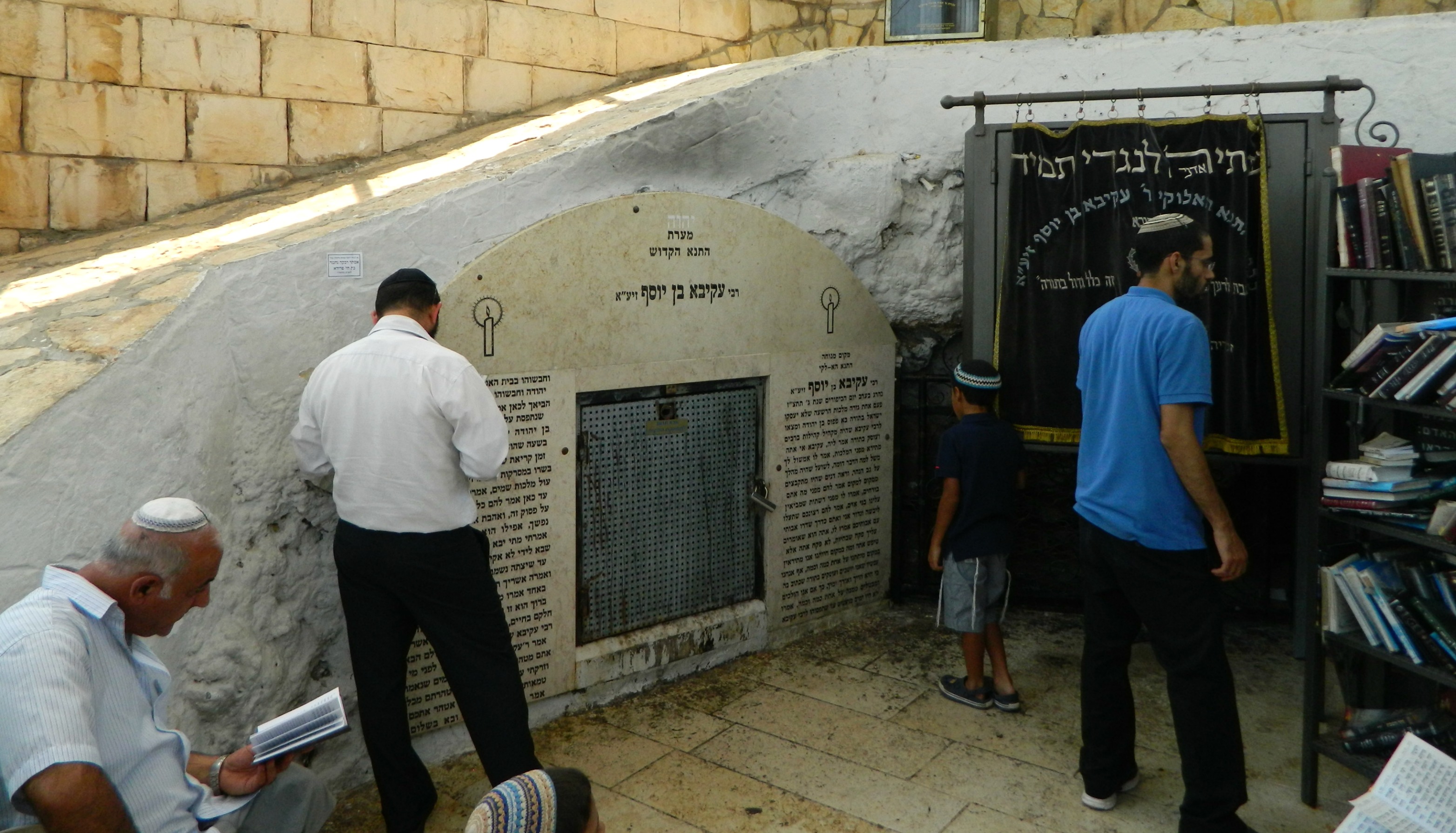
Inside the kever of Rabbi Akiva
Beside the kever of R’ Akiva is the kever of the Ramchal (or R’ Moshe Chaim Luzzatto), a rabbi, kabbalist and philosopher from the 1700’s. Born in Italy and having spent time in Amsterdam, the Ramchal’s teachings were often rejected by the local rabbinate and his books were even burned. Frustrated, the Ramchal moved to the Holy Land and settled in port city of Akko. Tragically, he and his family perished in a plague but his teachings live on as a staple for self-improvement and piety. From the stone plaza just outside these two keverim, the most magnificent view of Tiberias and the Kinneret (Sea of Galilee) is to behold.
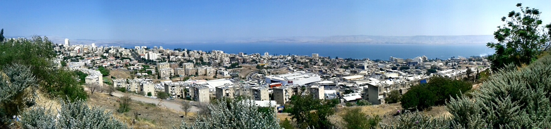
Looking down at Tiberias and the Kinneret
Stopping off briefly at a supermarket for lunch supplies, we continued south until we reached the kever of Rachel, the wife of R’ Akiva – a saint in her own right. Overlooking a waterpark and the ancient Jewish cemetery, we stopped to both pray and take pictures.

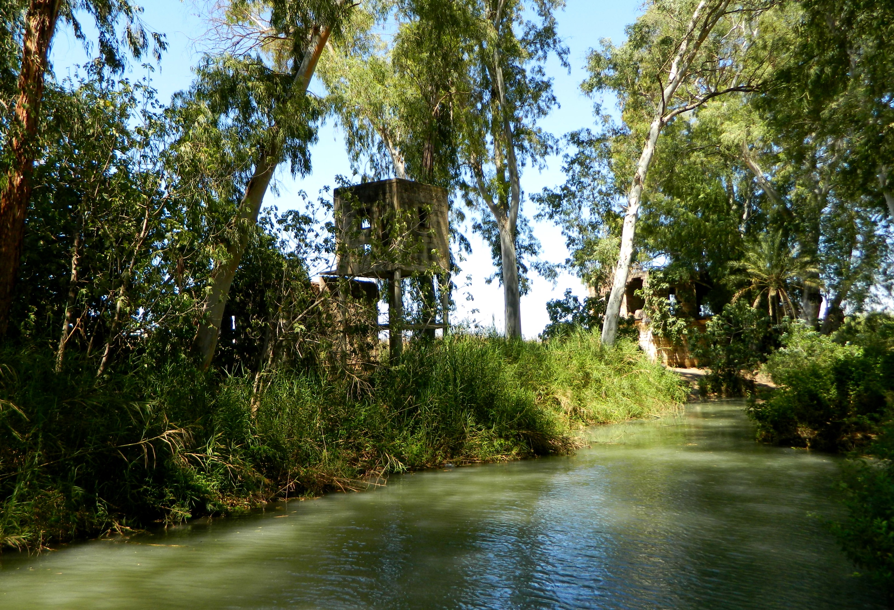
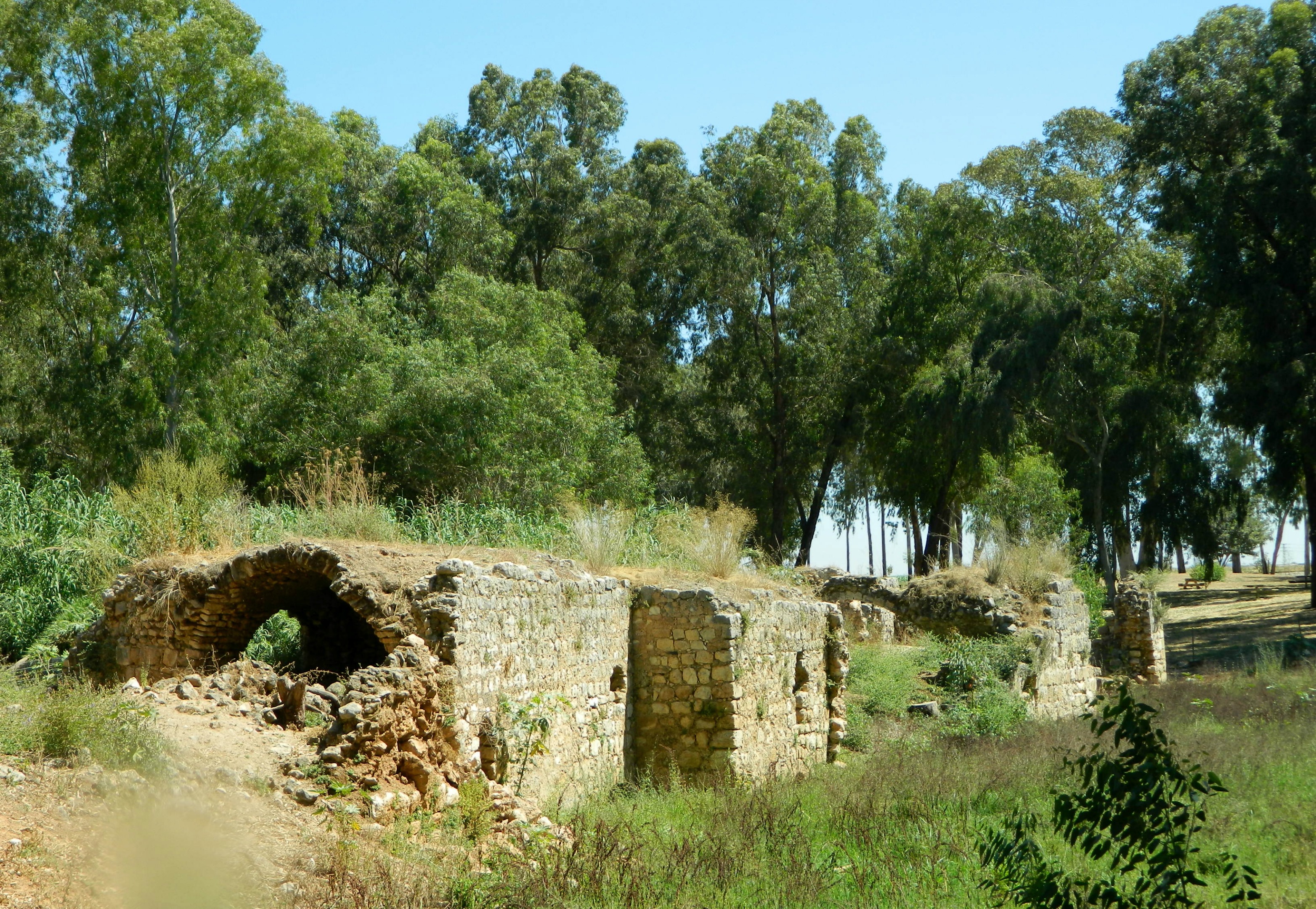
Remains of the ancient Jewish cemetery
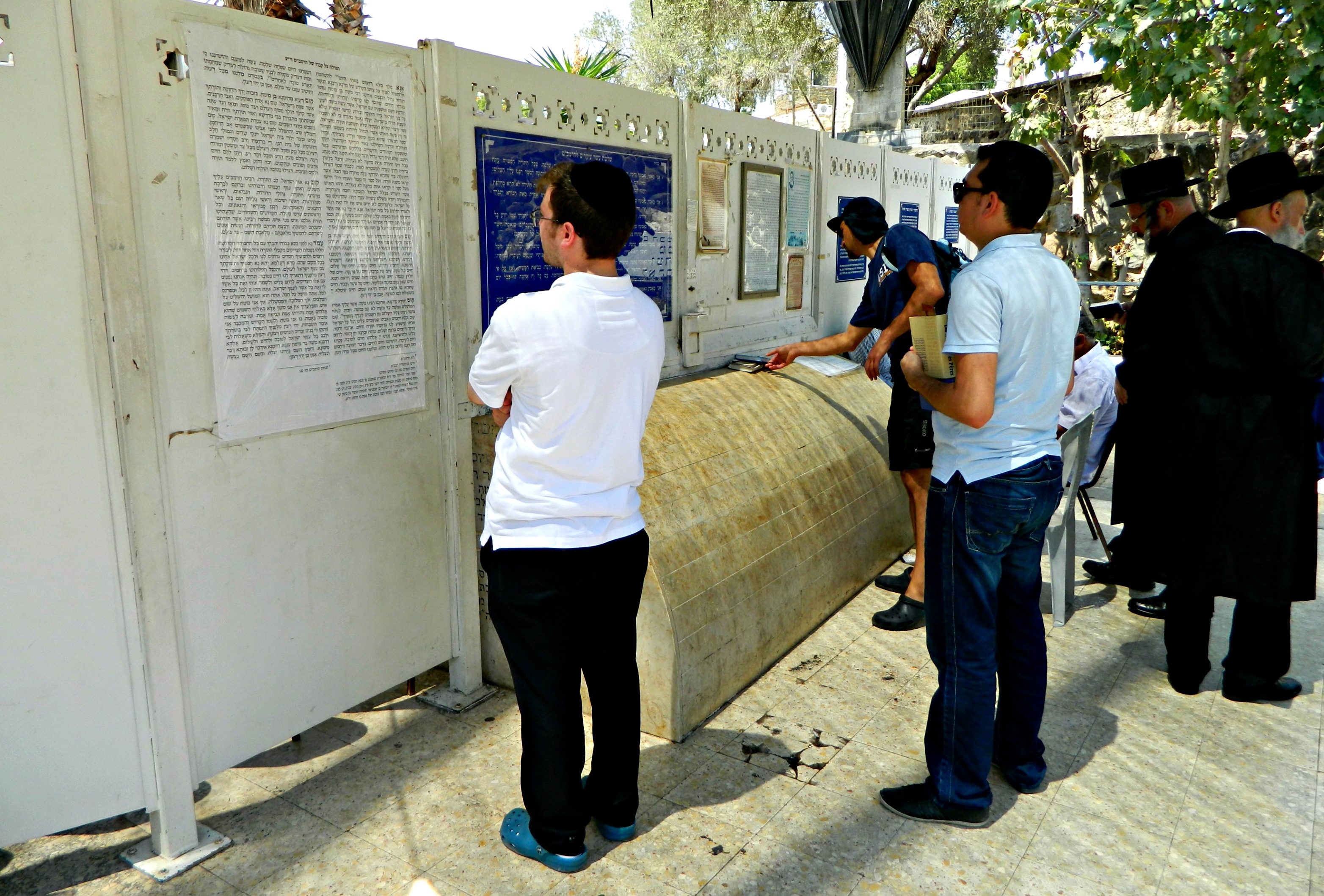
Back on the road, we drove along the water passing two sites I intend to visit on a later trip: Berko Archaeological Park and Hamat Tiberias (hot springs held in great value since antiquity). Our final destination was the kever of R’ Meir Ba’al HaNes (who name translates to R’ Meir the Miracle Maker), another great sage from the period of the Tannaim. A student of R’ Akiva – one of the only five to survive the terrible plague, R’ Meir requested to be buried in the Holy Land in a place where the water would lap at his grave. And so, when he passed away, his body was brought to rest at the foot of the low mountains along the banks of the Kinneret.
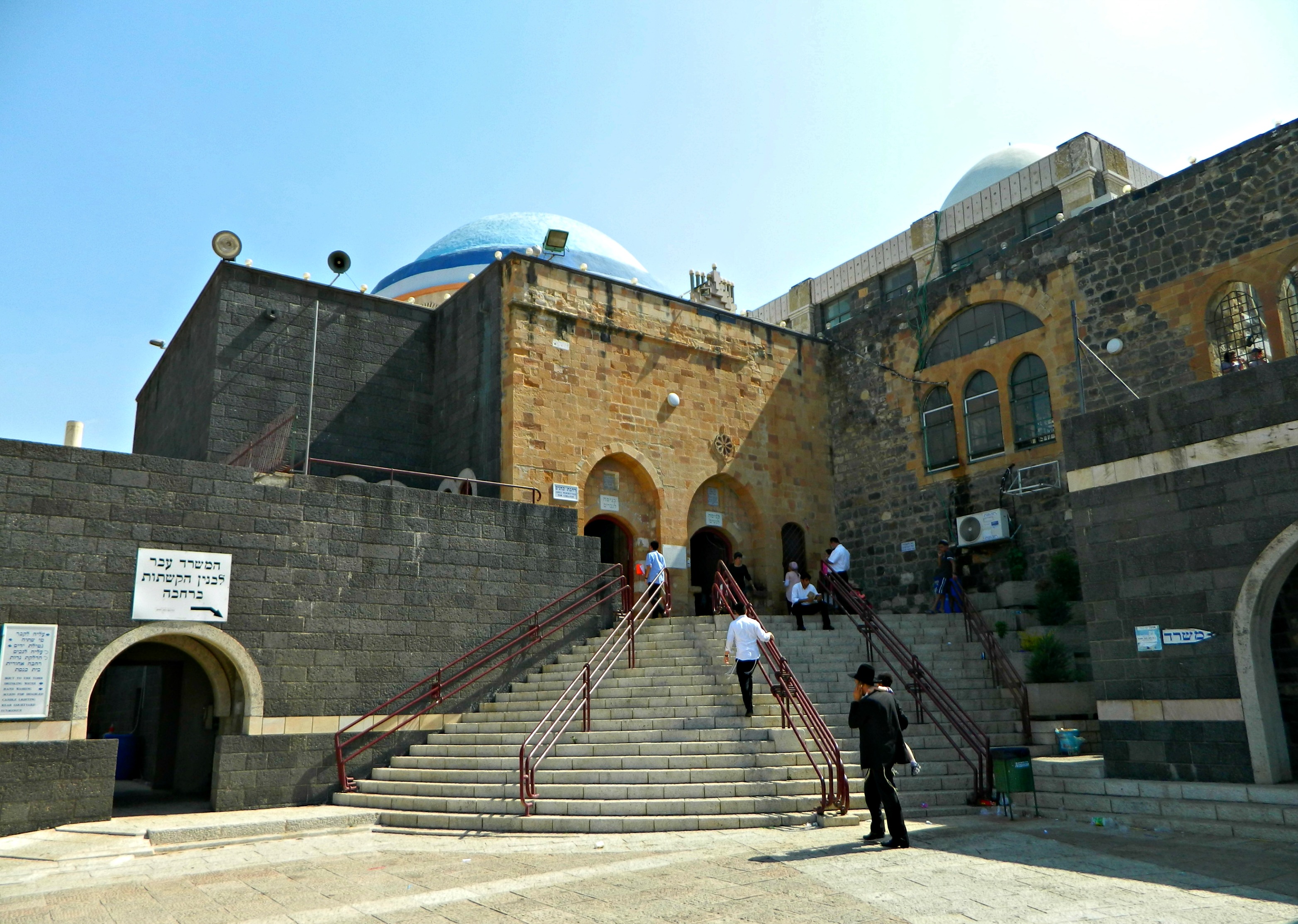
The R’ Meir Ba’al HaNes complex
We had lunch at the tables outside the complex and then entered to visit and pray. Afterwards, we called it a day and headed back home, missing yet a few of the important keverim that we didn’t know about at the time. Another trip is now most certainly in order…