One thing that fascinates me about Israel’s nature is the rich diversity of birds, particularly the Old World raptors – both resident and migratory species. One Friday several weeks ago I seized the opportunity to go on a birding tour in one of the world’s best bird-watching locations, the Hula Valley.

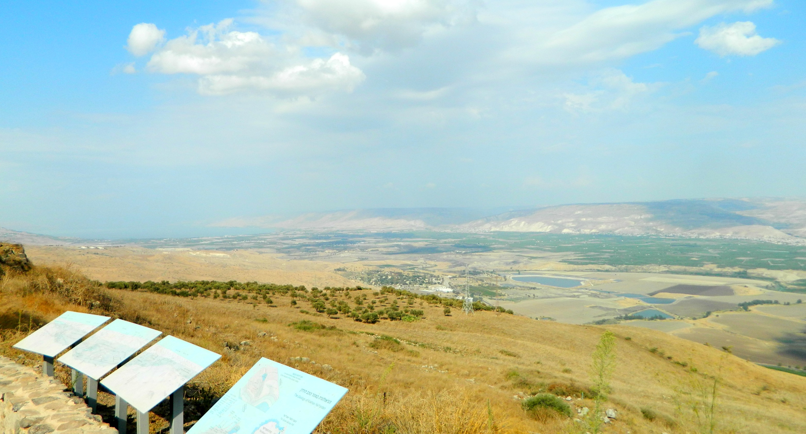
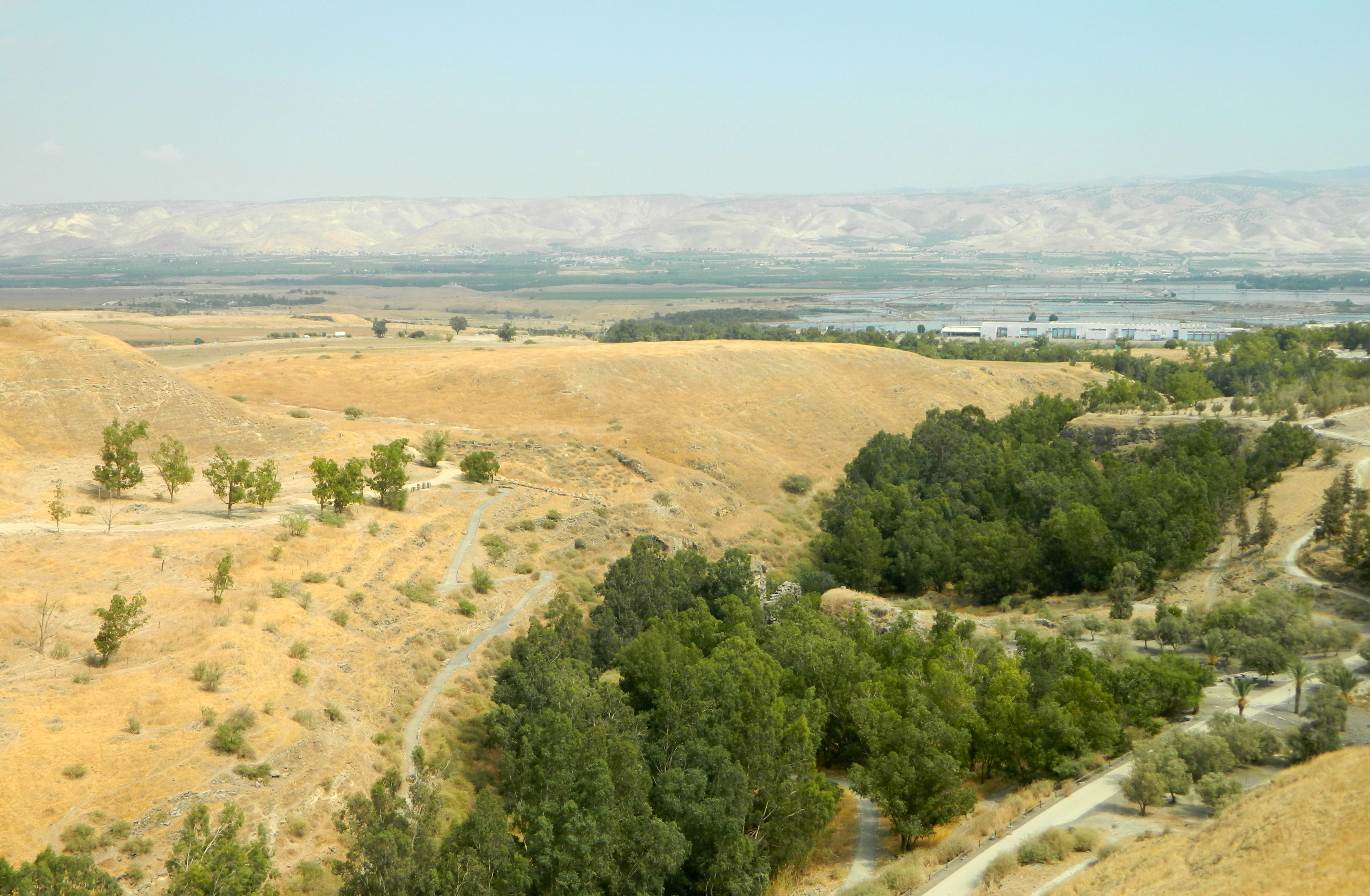
Hula Valley
Leaving the house shortly after 5am I drove the dark mountain roads heading east and saw the early stages of daybreak just after passing Tzfat. I reached Agamon Hula, a KKL park, and prayed in the parking lot before meeting up with my tour guide, Lior Kislev. A popular birder, Lior’s website has helped me several times with bird identification and it was a joy to meet him at last. We entered the park with a few of the other tour members (including Yedidya Popper, a protégé of Lior who graciously shared photos with me for this post) and, equipped with binoculars, began with the barn swallows resting on electrical wires just outside the visitors centre.

Black kite perched
Nearly immediately thereafter we were launched into full-scale raptor watching with a whole bunch of greater spotted eagles, black kites, black shouldered kites, marsh harriers and others who were flying about and resting on the side-roll irrigation system frame. We walked along the trail stopping now and then to watch aerial turf battles and the occasional hooded crow mobbing. At one point, while our collective eyes were pointed skywards watching the predatory commotion, I heard a loud squeak at my feet which was identified as a social vole – hide little fella!

White-shouldered kite mobbed by a hooded crow (photo Yedidya Popper)
During all this time, and for most of the tour, there was a steady flow of large migrating birds flying overhead including white pelicans, spoonbills (which I was very excited to see) and, of course, common cranes. I had always associated Hula Valley’s migration season with the cranes that are so heavily talked about but with an experienced ornithologist at hand, I came to understand that the cranes were just a very small part in the overall bird-watching experience. We stopped for breakfast at a picnic table, frequently interrupted by raptor activity on the other side of the Jordan River or by warblers (of which we spotted four species) and a beautiful bluethroat or two flitting among the reeds.

Lior Kislev and the tour
In addition to the birds, there were several resident nutrias – an invasive rodent from South America. In terms of migratory species, also the African monarch butterfly makes its way through the Hula Valley and we saw tons of them.

African monarch butterflies (photo Yedidya Popper)
As we walked closer to the bodies of water, someone called out “black francolin” and we watched as the elusive gamebird dashed into the undergrowth. As we walked along the water’s edge we saw a good number of passerines including red-throated pipits, whinchats, larks and some species of the predatory shrikes – a bird that has interested me since childhood. Before long we were able to peer through the reeds at the numerous species of waterfowl and waders including grey and little herons, ibises, coots, moorhens and more.
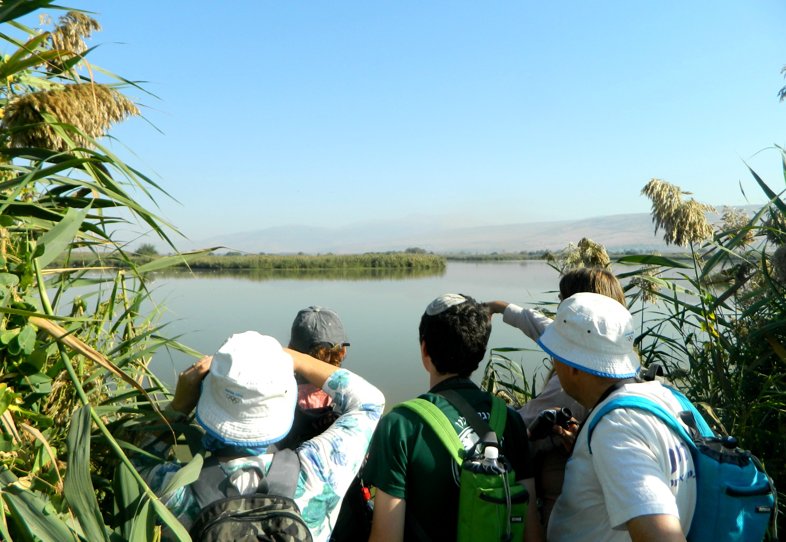
Peering through the rushes
We arrived at the first platformed observatory where we met a Peruvian governor and his wife on a VIP tour of the nature park and then spied on something that excited me immensely – greater flamingos. Even while we watched the cormorants, common snipes, stilts, avocets and more in the shallow waters Lior would frequently direct our attention to the sky where soaring raptors circled overhead. It was during one of these sudden sightings that we saw something uncharacteristic – an immense griffon vulture was visible way out to the east. A bird with incredible range, and truly immense wings (boasting a 2.3–2.8 m (7.5–9.2 ft) wingspan), this particular vulture was likely searching for food over the nearby Golan plateau where they nest (see Gamla).

Lake Agamon observation deck
Reluctantly we left the observatory and continued on, stopping at a grassy area to lay on our backs watching the black storks, black kites and booted eagles wheeling above us while we snacked on fresh almonds and cookies. Along the trail up ahead we found two catfish that had been seized from their watery hole and were mysteriously untouched. We passed caspian turtles and a squacco heron before reaching the observatory most visitors are familiar with. Being as that we wanted to see all that there was to offer, we took the 11-km trail that loops around the lake in its entirety – not the path most traveled.

Booted eagle (photo Lior Kislev)
With one or two water buffalo off in the distance, we watched a small muddy pond packed with mallards, shovelers and common teals; a lone black kite circling ominously nearby. Suddenly the waterfowl exploded into the air, the sound of hundreds of wings beating, and we scoured the area for that black kite – perhaps he had succeeded in nabbing one for lunch.

Pelicans flying overhead
Finally on the home stretch, we walked and talked, pausing to discuss self-combusting peat which was a problem in the park several years ago. Shortly before we reached the visitors centre Lior showed us a dead young viper which looks to have been crushed – I have yet to see a living viper in the wild.
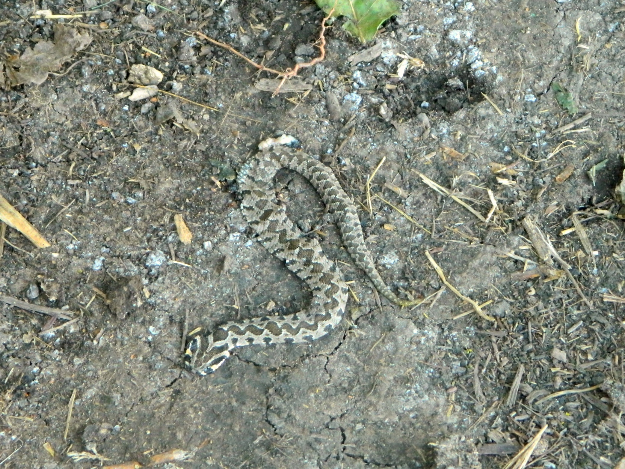
Dead viper
Back at the visitor centre we sat down with pen and paper to make a list of all the birds we had seen that morning. All in all, over the course of five or so hours, we succeeded in spotting 72 species of birds, far more that I would have ever imagined. I highly recommend taking this tour to all those who read this blog – it’s truly a treat!