Following our trip to Nachal Rash’ash, the members of Dr Dvir Raviv’s field class on the geography, geology and archaeology of the Shomron reconvened for a second day in the field. This time we had two destinations: Wadi Dalia and the fortress-peaked mountain of Sartaba. Departing in the morning from Bar Ilan University, and picking up members along the way, our trip officially began at the western side of Kibbutz Gilgal in the Jordan River Valley.
Outside Kibbutz Gilgal
Immediately upon leaving the tour bus my eyes settled upon a curious pair of birds perched on a wire a dozen or so metres away: green bee-eaters. With the birding aspect of the trip starting off on such a high, birding-friend Adam and I were quite eager to see what we could find. Just a quick scan around the perimetre, while the first of the hikers started off, we managed to see a handful of birds, including a black kite, some Tristram’s starlings and a small flock of Spanish sparrows.

Little green bee-eater
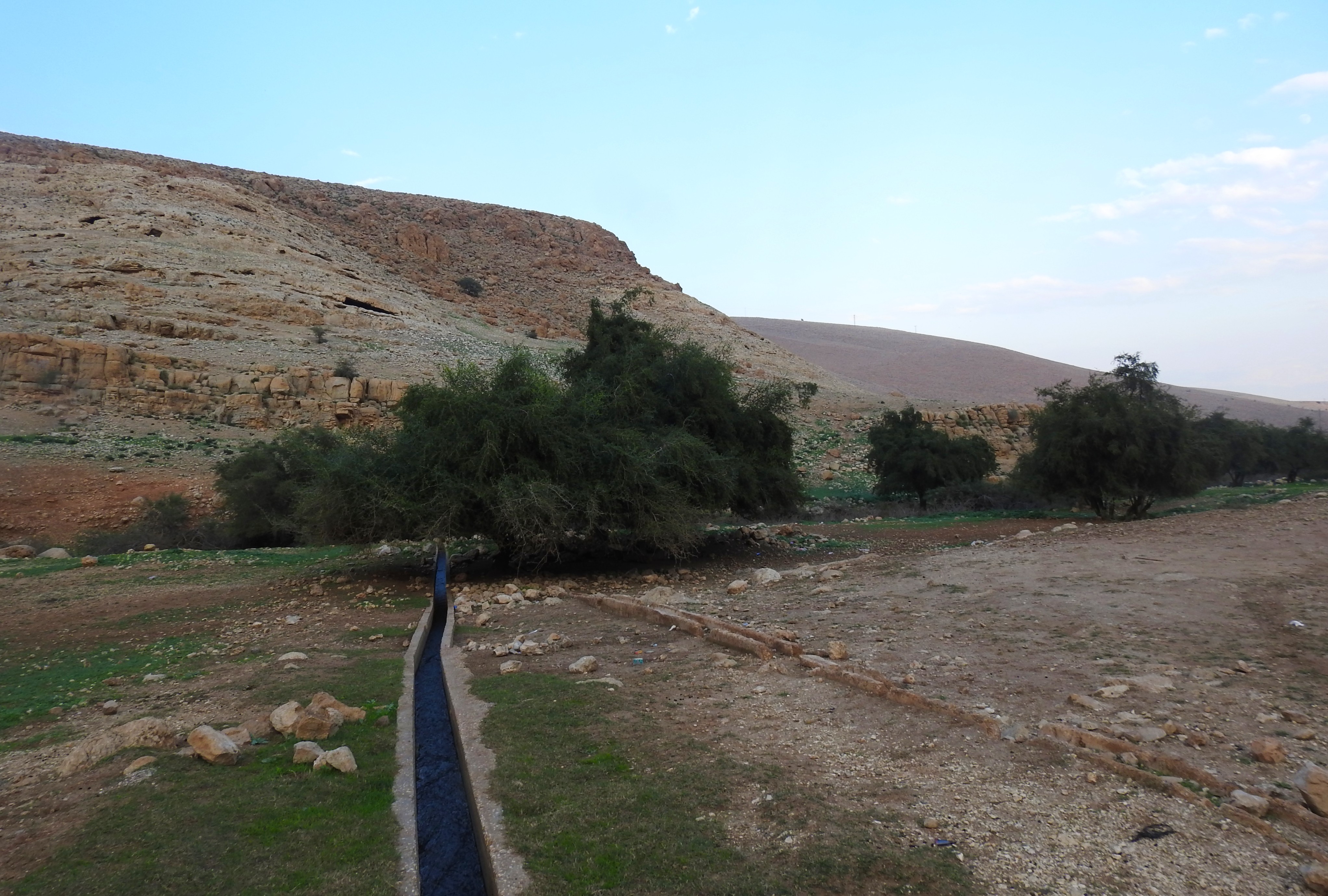
We set off heading southwest, towards the low mountains and in the direction of Wadi Dalia, enjoying the warm air of the valley. Within fifteen minutes we reached the dry streambed of Wadi Dalia and settled down for the first of many field-lectures delivered that day by our guide, Dr Dvir Raviv. Given the necessary background information on the geographical geology, including the changes in bedrock formations from the valley to the mountains as the elevation climbs.
Wadi Dalia
From the wadi we climbed up, reaching a small plateau where we could see diagonal stripes of flint in the otherwise plain sand-coloured limestone. One of the party members found a deathstalker scorpion, the most venomous variety in Israel, and rushed over to show me. Lately I’ve been seeing more and more deathstalkers, even more than the more common species.
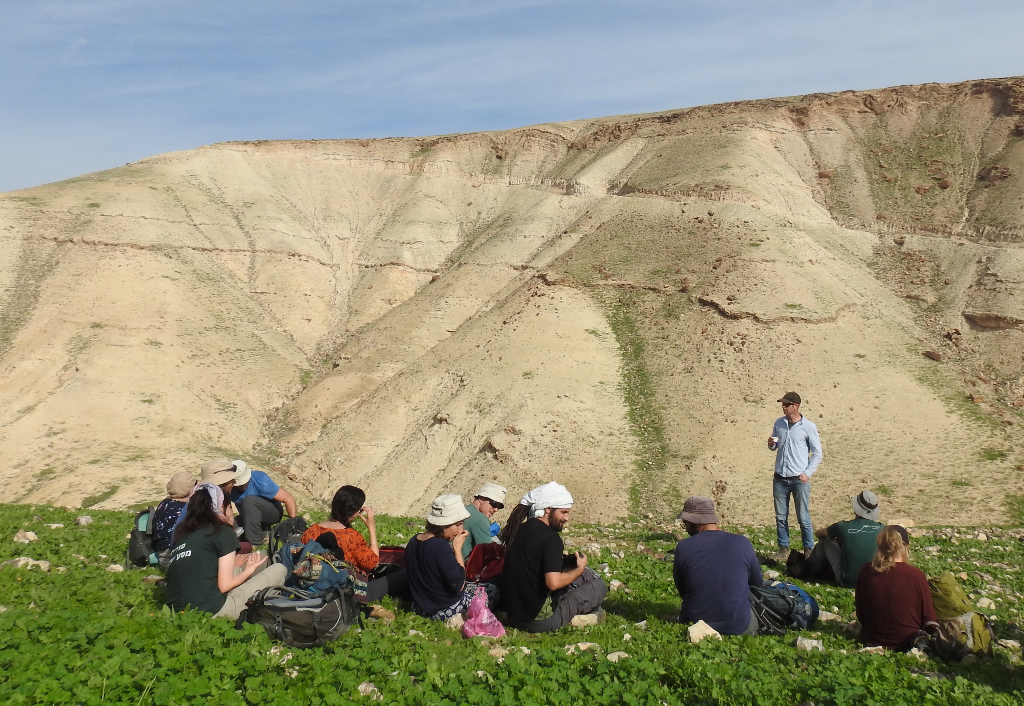
Lecturing on lush greenery
We climbed higher, following the trail marked in red and white paint, and saw where the recent rains washed new life into the sand-coloured slopes. With the gentle sprinkling of green came the wildflowers and, throughout the day, we saw several different species, including yellow star-of-Bethlehem and dark grape hyacinth. Although unrelated, we saw more and more black kites until the estimated count reached into the hundreds.

A swirling of black kites
The view around us became increasingly glorious as we climbed, the jagged cliff edges and the green-dusted slopes combining to make a contrastingly beautiful scene. Before long we reached a small Bedouin enclosure, with a series of caves, and sat down to hear more about one particular cave with dozens of goats milling about around us. It was then, seated in the mostly-dry streambed, that we saw a very impressive sight.
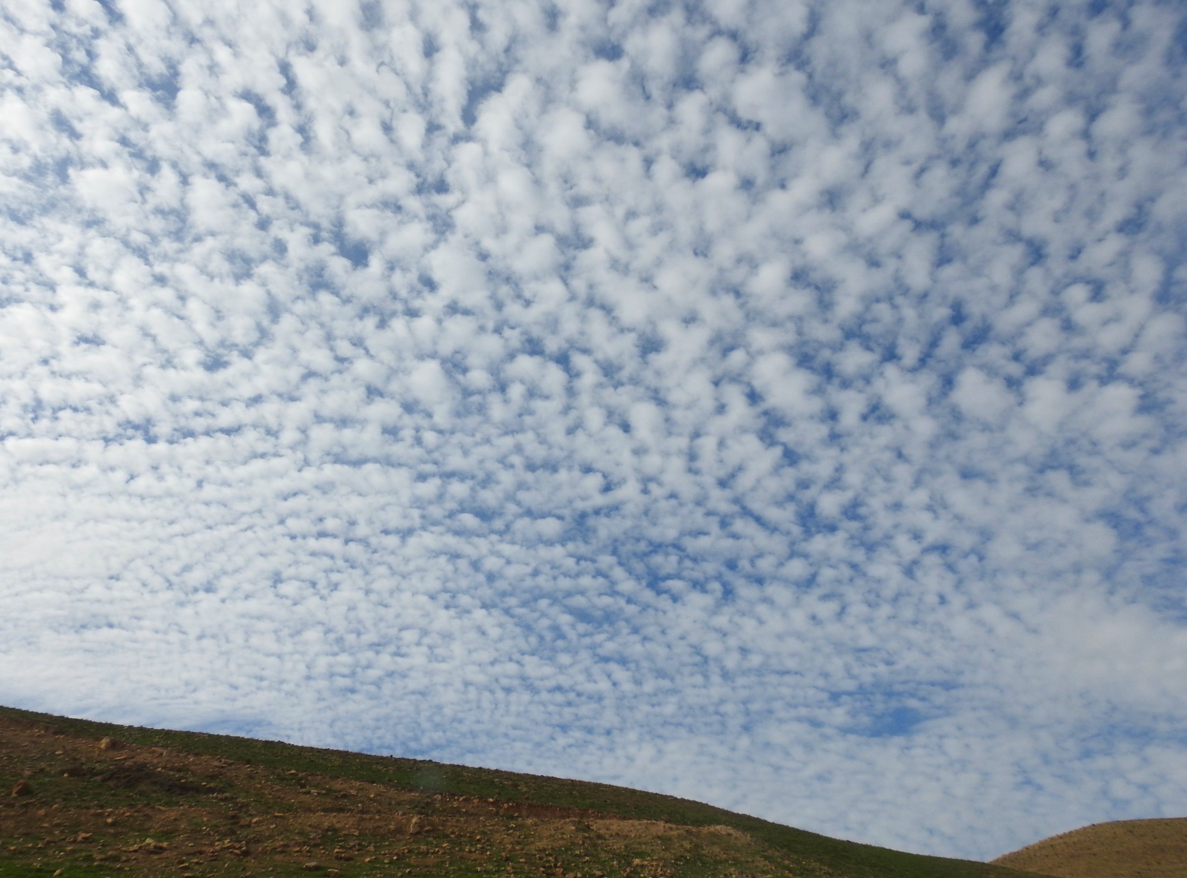
Blissful clouds
As we were listening to Dvir a large shape appeared overhead, crossing over us from the cover of the nearby cliff. Everyone looked up, and multiple voices called out at me, including Adam who was watching it approach through his binoculars. I looked up as well, and saw a large bird of prey. A mere second or two passed before I turned my camera back on, removed the lens cap and began zooming in for a photograph. I knew that I’d only get one shot, and that it would be preferable to get clarity over closeness, so I shot at a mere 260mm (instead of the potential 2000mm) and got what I got. Behold, a majestic golden eagle:

Golden eagle flyby
Amazed with what we saw, Adam and I were on birding-high and decided that we’d be more alert as we walked this arid mountain terrain. Sure enough, a few common ravens passed by overhead, as well as some more ever-present black kites. An hour later, continuing along the trail, we found a small-spotted lizard hiding among the rocks.
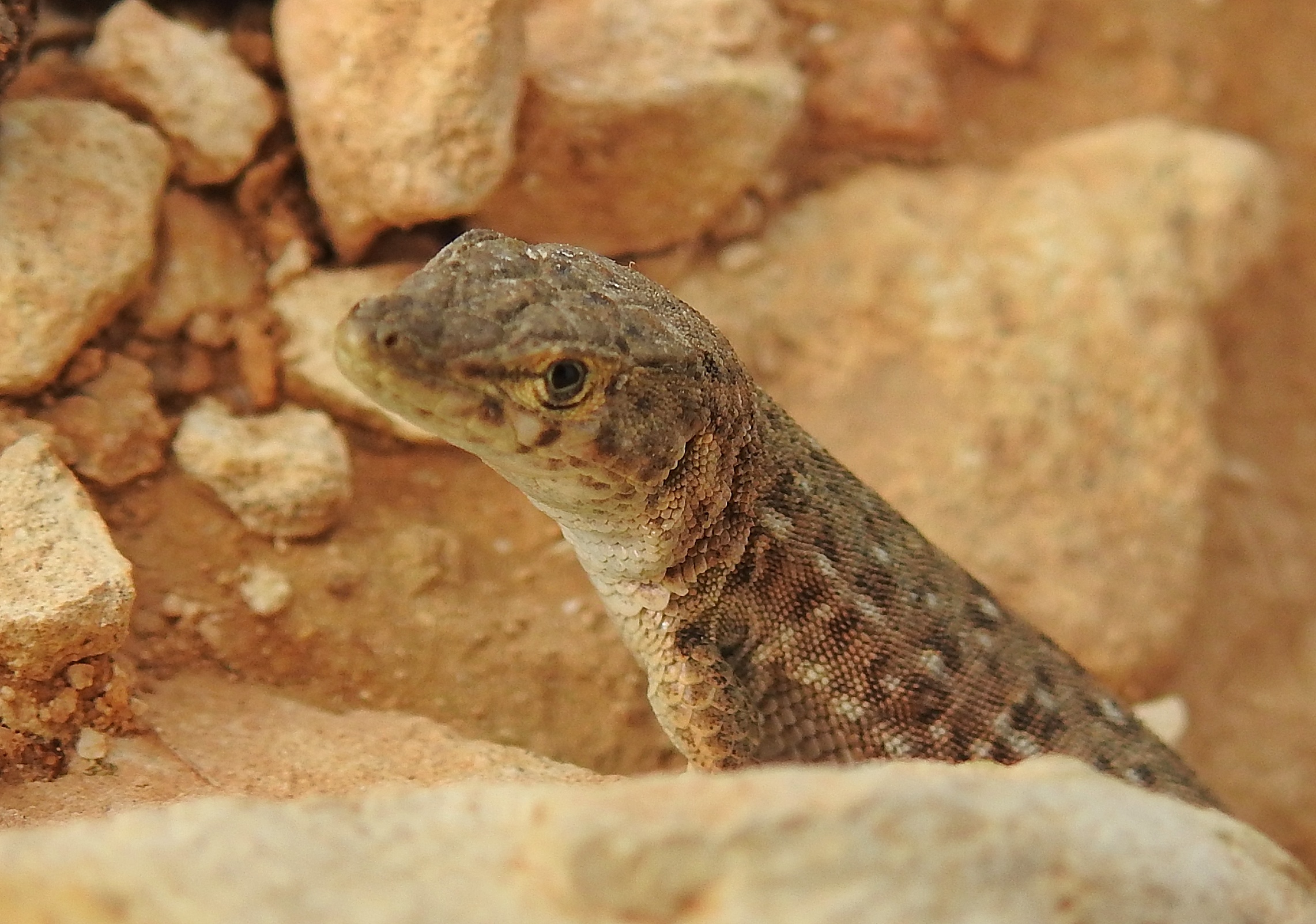
Small-spotted lizard peeking out
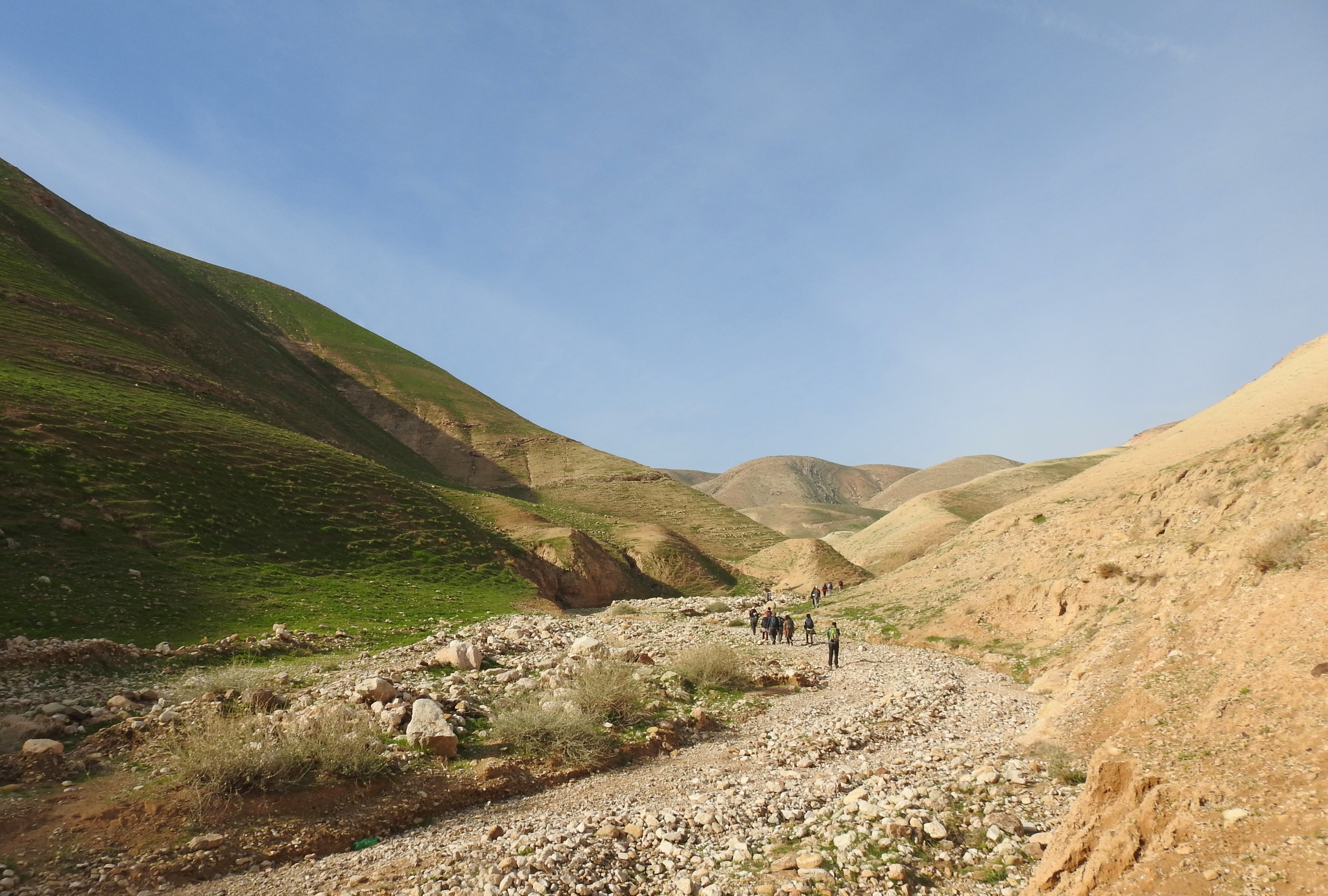
Thus we continued, hiking and hiking some more as we traversed Wadi Dalia, making our way back downhill and towards the waiting bus. It was on that home stretch that we saw hundreds of black kites, swarming in large groups over the many slopes around us. Back in the bus, we were driven to a rest stop area for lunch, where Adam and I feasted on rolls, hummus and more, and then off to the final destination of the day: Sartaba, also known as Alexandrium.

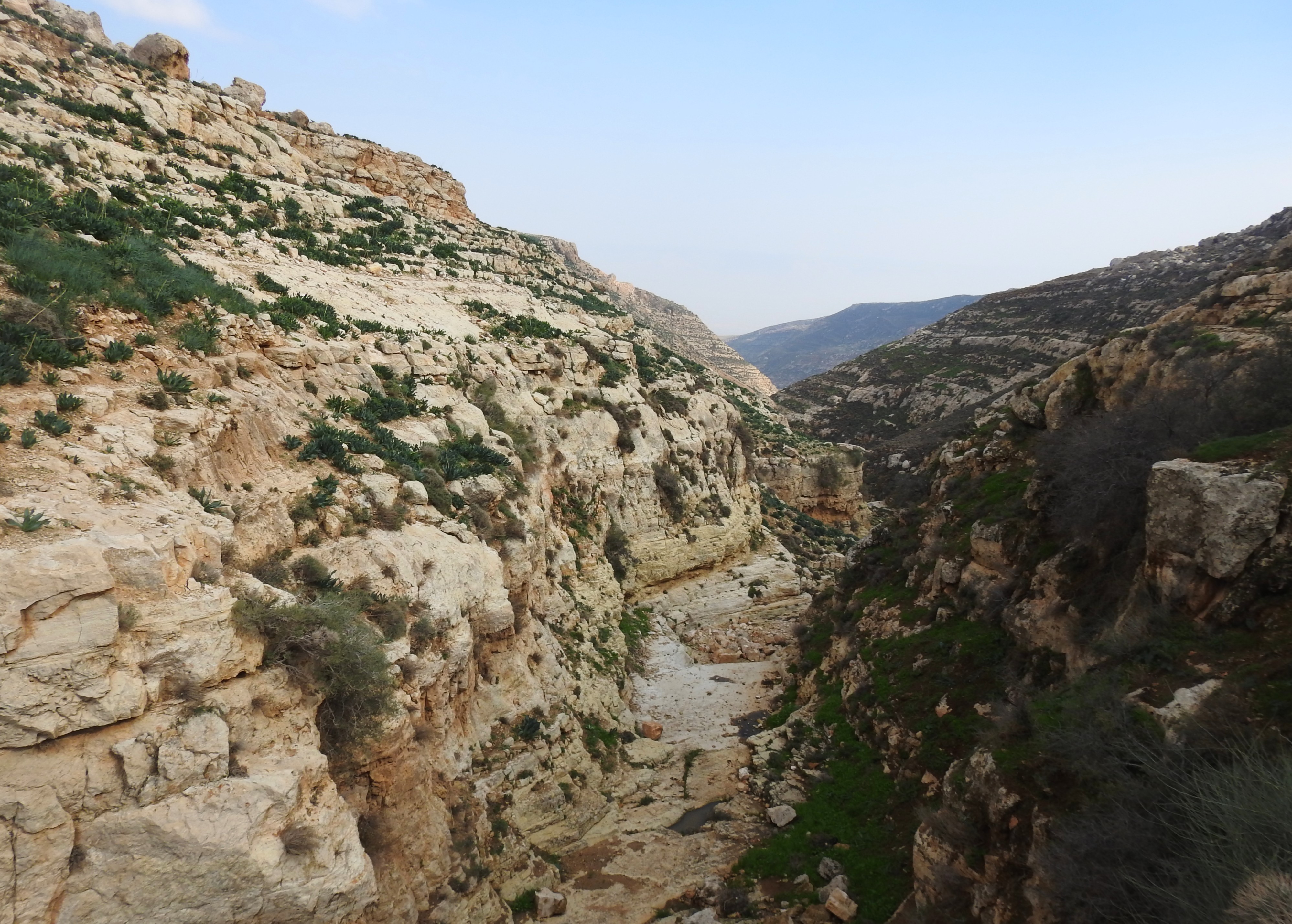
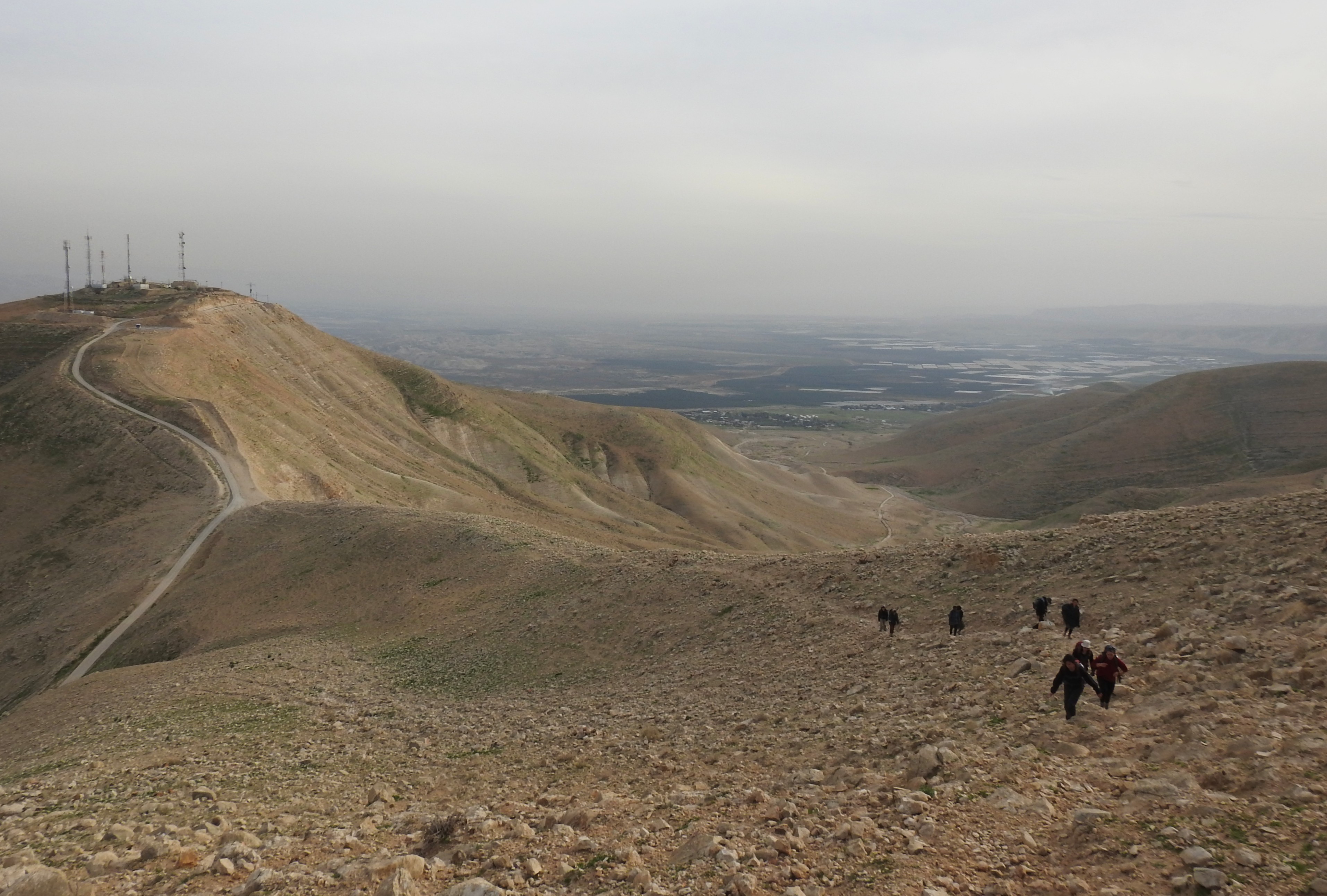
The steep climb to Sartaba
I had once attempted to visit Sartaba, a Hasmonean fortress atop a conical peak, but got confused with the access roads and abandoned the notion. So, approaching the distinct mountain gave me a feeling of long-awaited excitement, as might be expected. But, we were not to just drive to Sartaba, there was a steep mountain path to climb, and the bus was going to drop us off at the foot of it, near an empty army outpost.
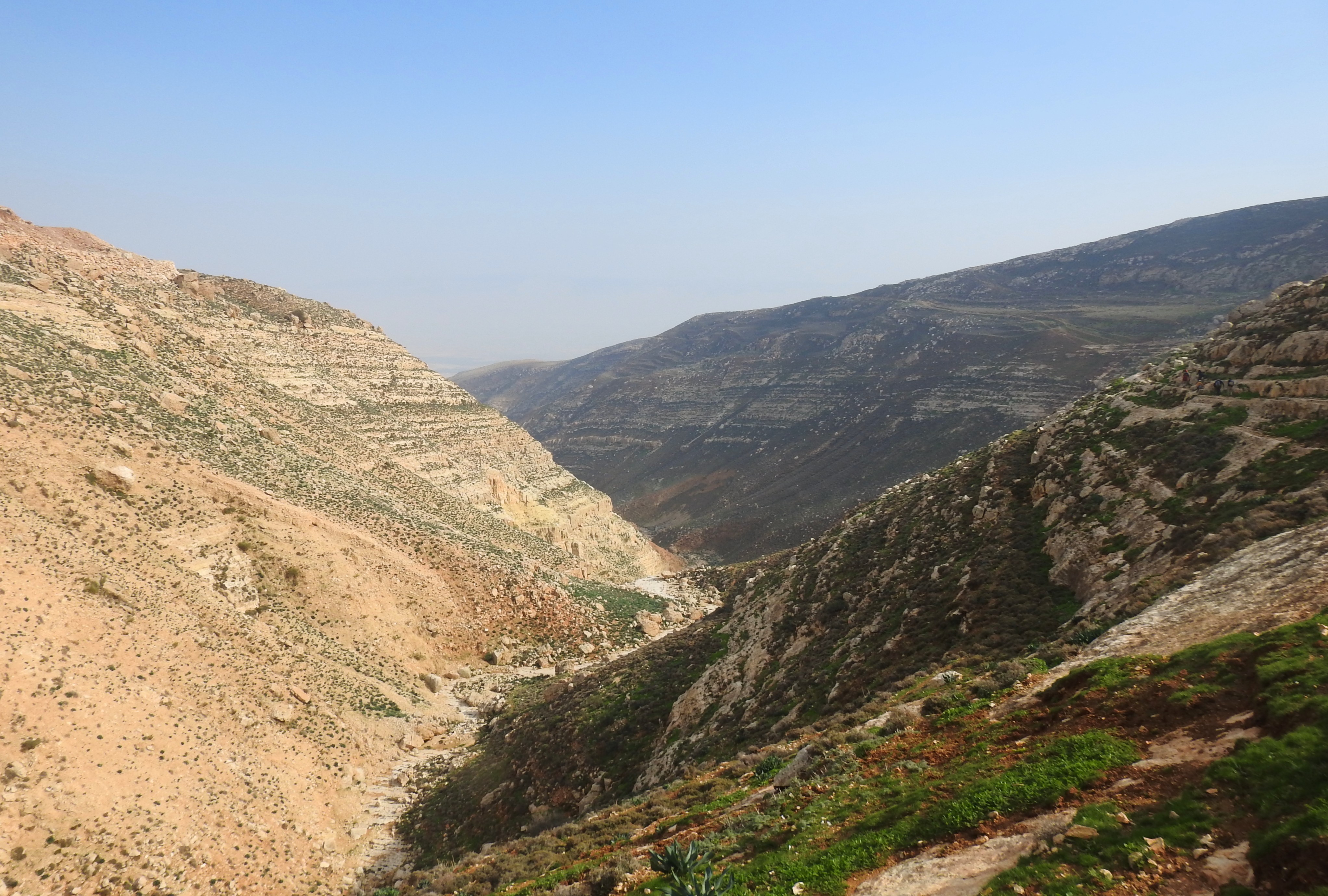
Looking back mid-climb
We disembarked at the base of the trail and were immediately shocked by how cold and windy it was. Dvir gave us a few words of encouragement, including something about not getting stuck atop the mountain after dark, and then we set off. It was a steep climb, of that we were roughly prepared, but it was the incessant howling cold wind that really threw us for a loop.
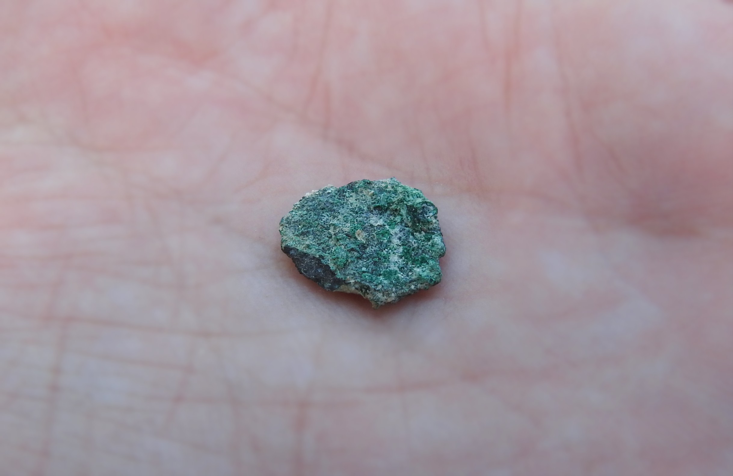
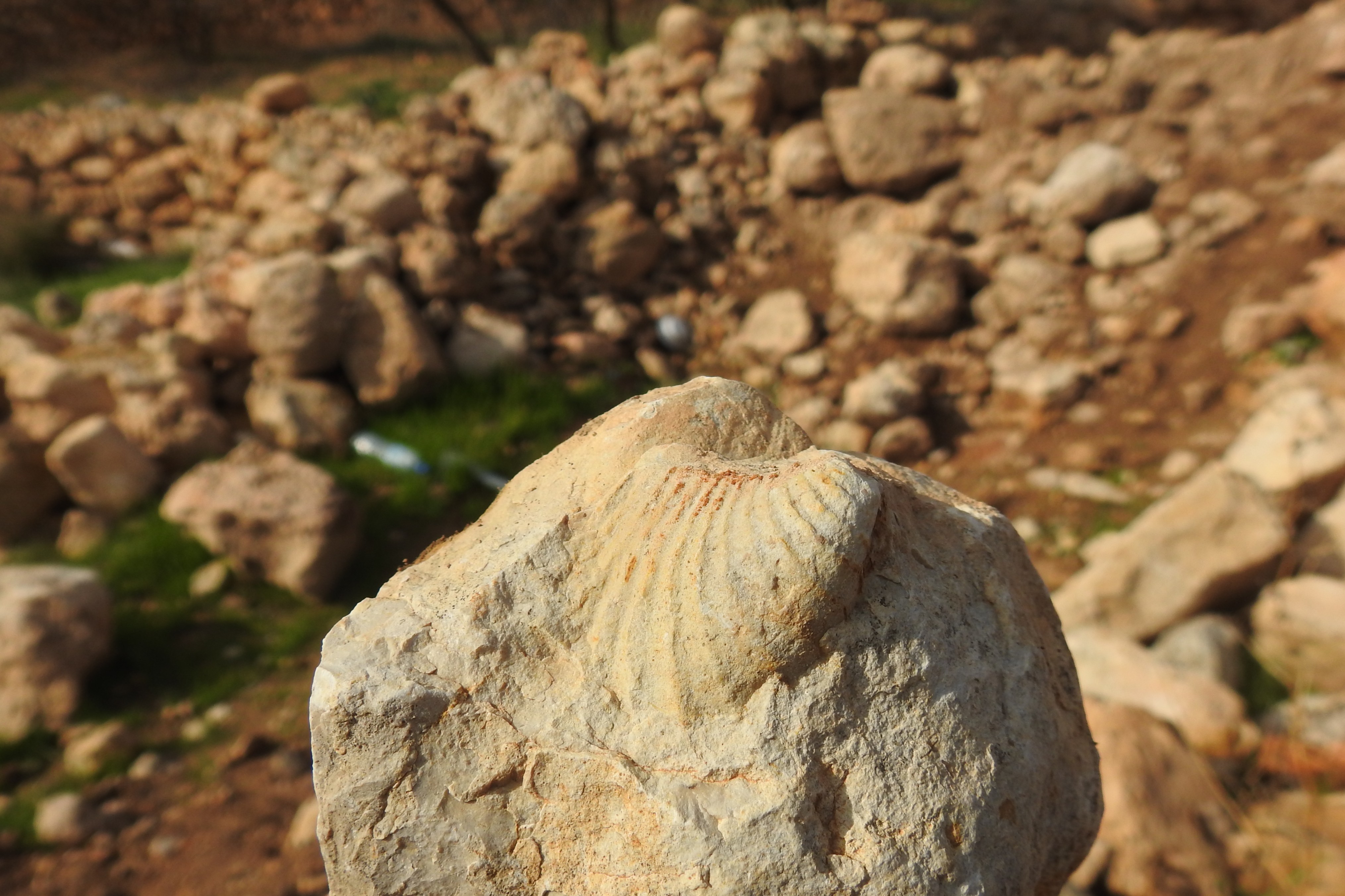
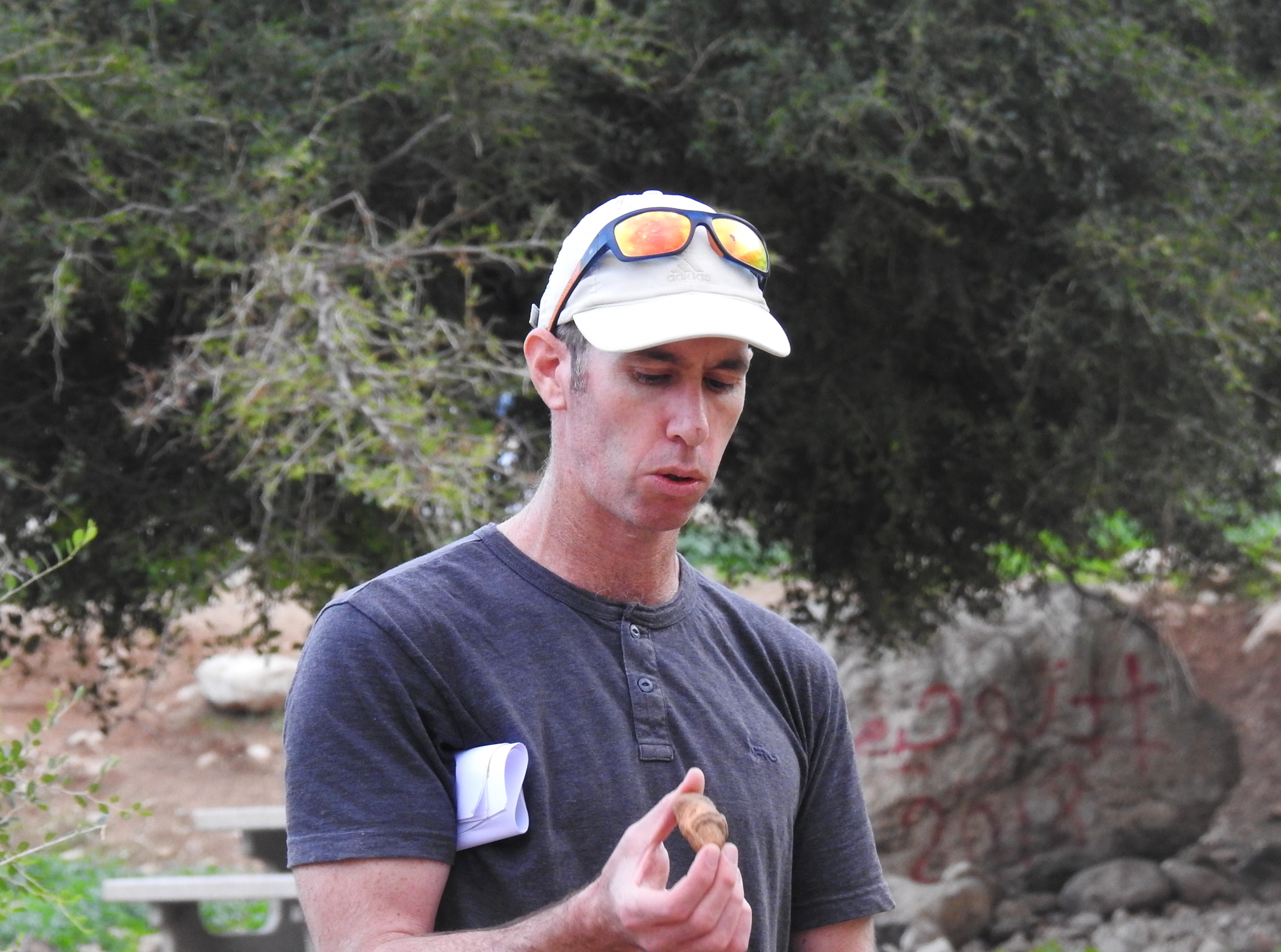
An ancient coin
About halfway up we reached a small cave near an ancient water reservoir which provided rudimentary shelter from the wind as the stragglers rejoined the group. From there we looped around the northern side of the slope near the peak and then climbed the last bit from the western side.

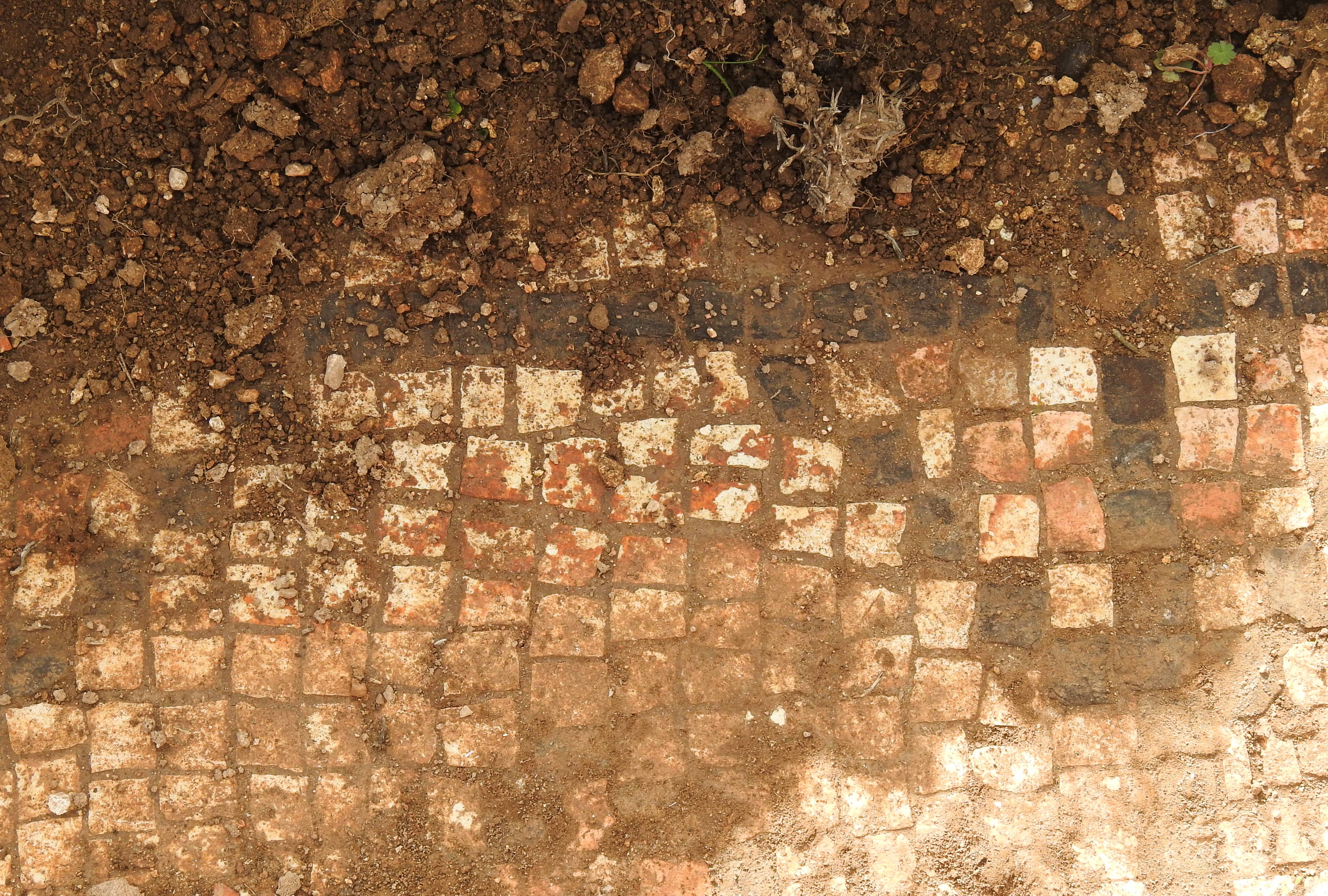
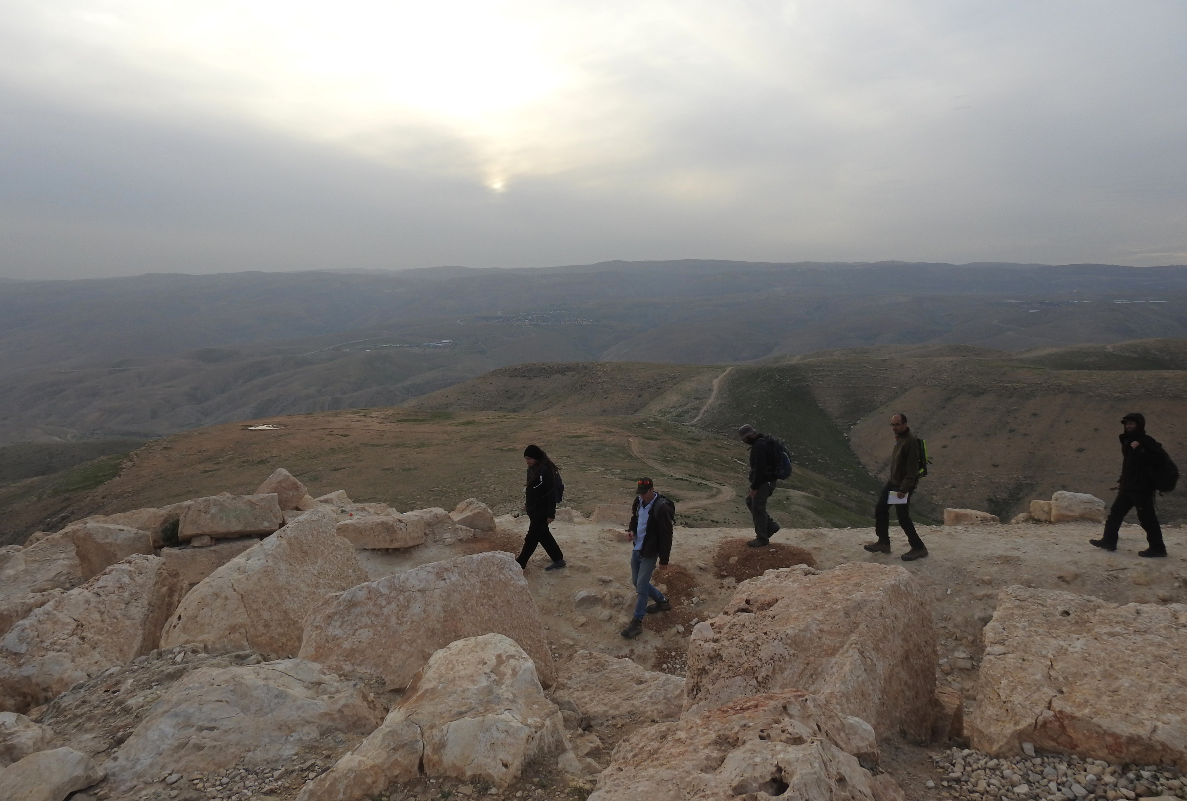
Standing atop the fortress ruins
Impressive ruins of a large fortress greeted us, the finely-cut ashlars stacked majestically. We spread about as we all explored the ruined fortress, looking around and taking photos. Just to summarise the fortress’ identity, Sartaba was originally built by the Hasmoneans and then restored by Herod approximately two hundred years later. The fortress was then destroyed during the Great Revolt by the Romans, and has been largely abandoned since.
Exploring Sartaba
With the sun setting over the nearby mountains we gathered around Dvir to hear a short explanation on the site. We examined the work of the different archaeological excavations that had taken place over the years, and then over to the “Hearts Palace”, named such due to the number of heart-shaped columns.
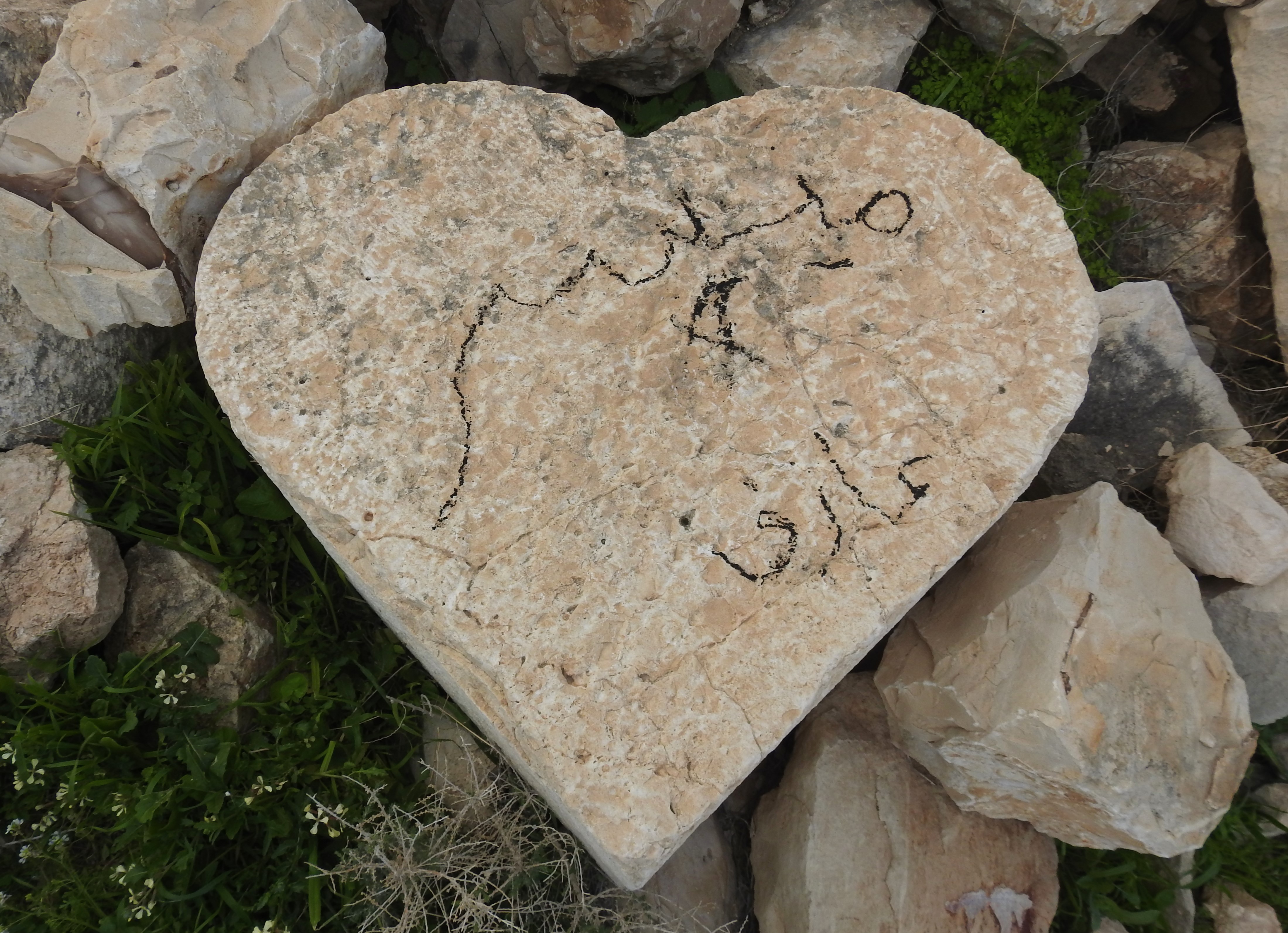
Heart-shaped column
Hoping to get back to the bus before nightfall, we made our way back down the slope, which proved quite difficult at first. The strong winds, coupled with the incline’s loose gravel, made the first few paces quite challenging. Eventually we reached the regular trail and made our way down the slope at a brisk pace.

Slip-sliding our way back down
Before long we were back in our tour bus and driving back to Bar Ilan University, bringing an end to a very interesting field trip.