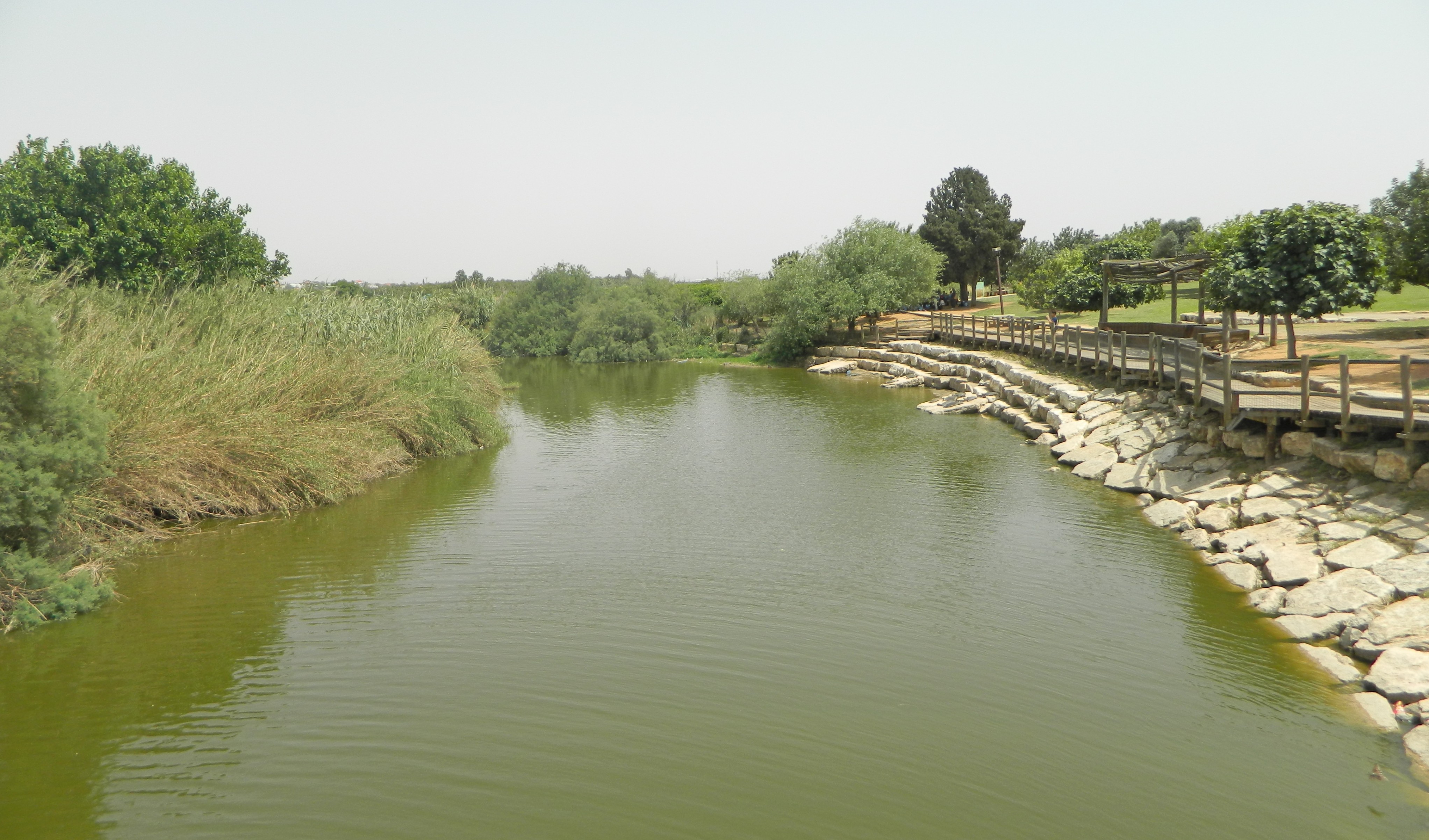
Harkening back to the warmer days of summer, this post chronologically follows the one-post summary of the month-long excavation season at Tel es-Safi. Finished with the Bar Ilan University dig, the members parted ways – some to see each other again next year, and some not. I was beginning the period of summer exams at BIU, which is always a dreary two months, so when the opportunity to attend the Tel Dor Archaeological Dig presented itself, I was quite excited to join.
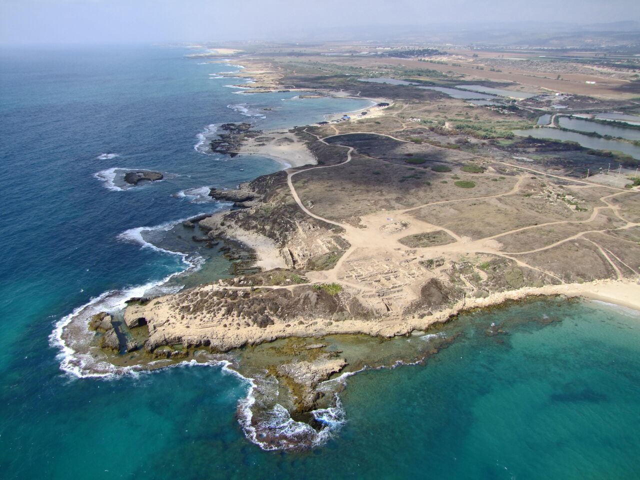
Tel Dor (photo Department of Archeology at the University of Haifa)
My brother Nissim had excavated the previous year at Tel Kabri, and this year found himself attached to the Tel Dor crew, so I had yet another reason to attend. Joining me on this day of volunteering was Rebecca Zami, a two-year veteran of Tel es-Safi, who had just finished up a week of lab research at BIU. We set out in the early morning from Givat Shmuel and made our way north by way of public transportation. Nissim and a staff member found us at the junction closest to Tel Dor, and we made a quick stop at the Mizgaga Museum for some supplies before heading to the tel.

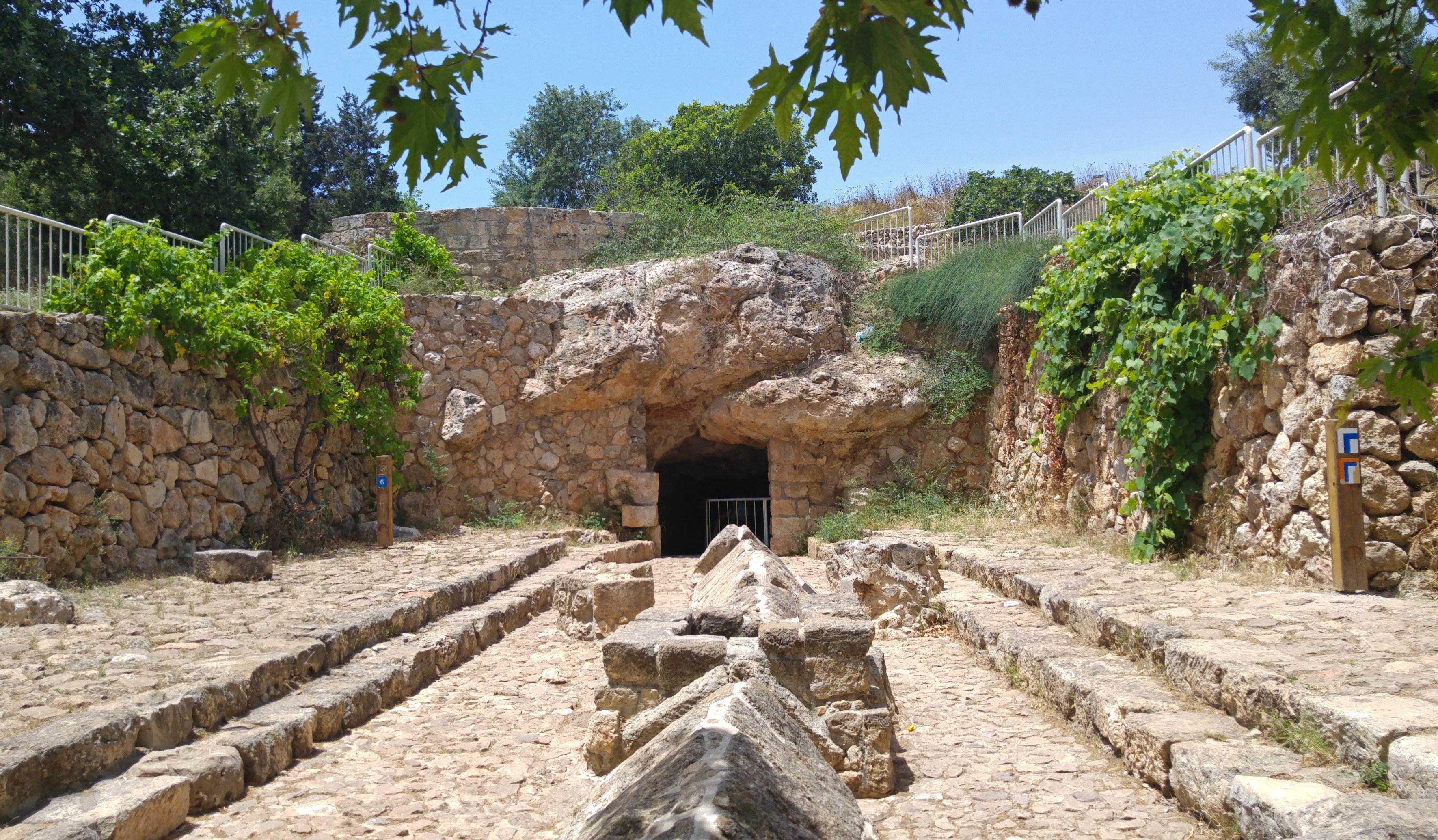
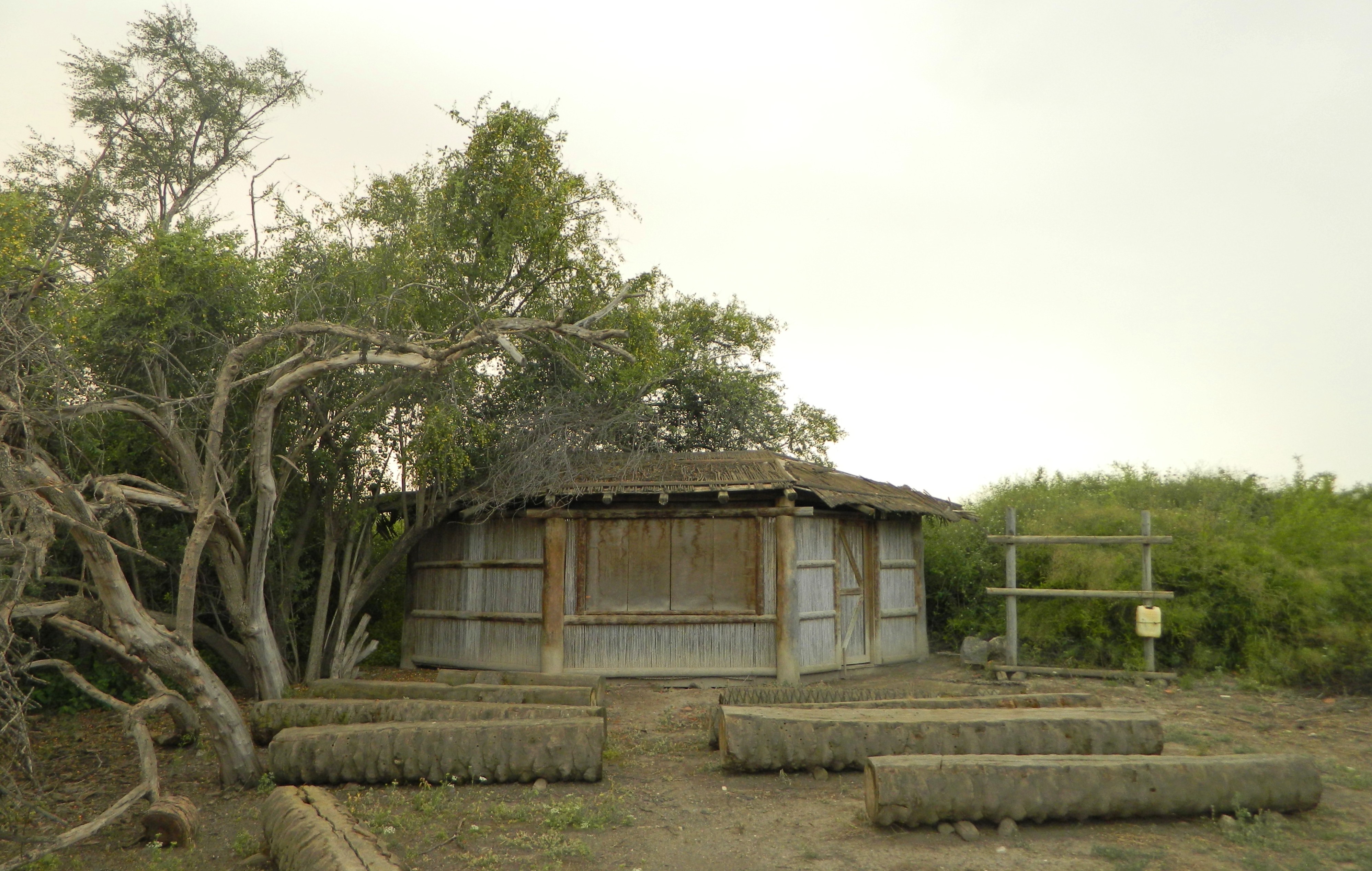
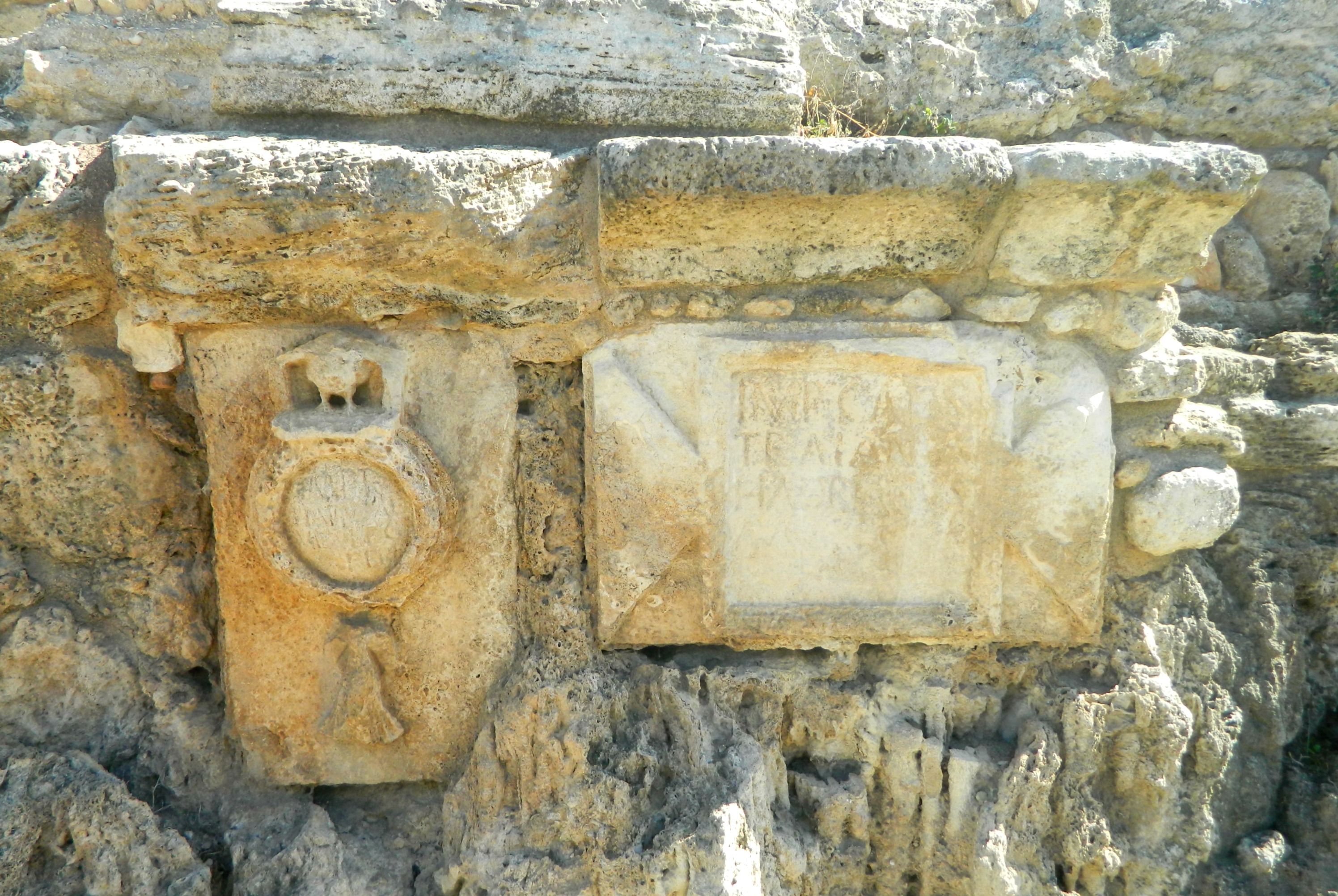
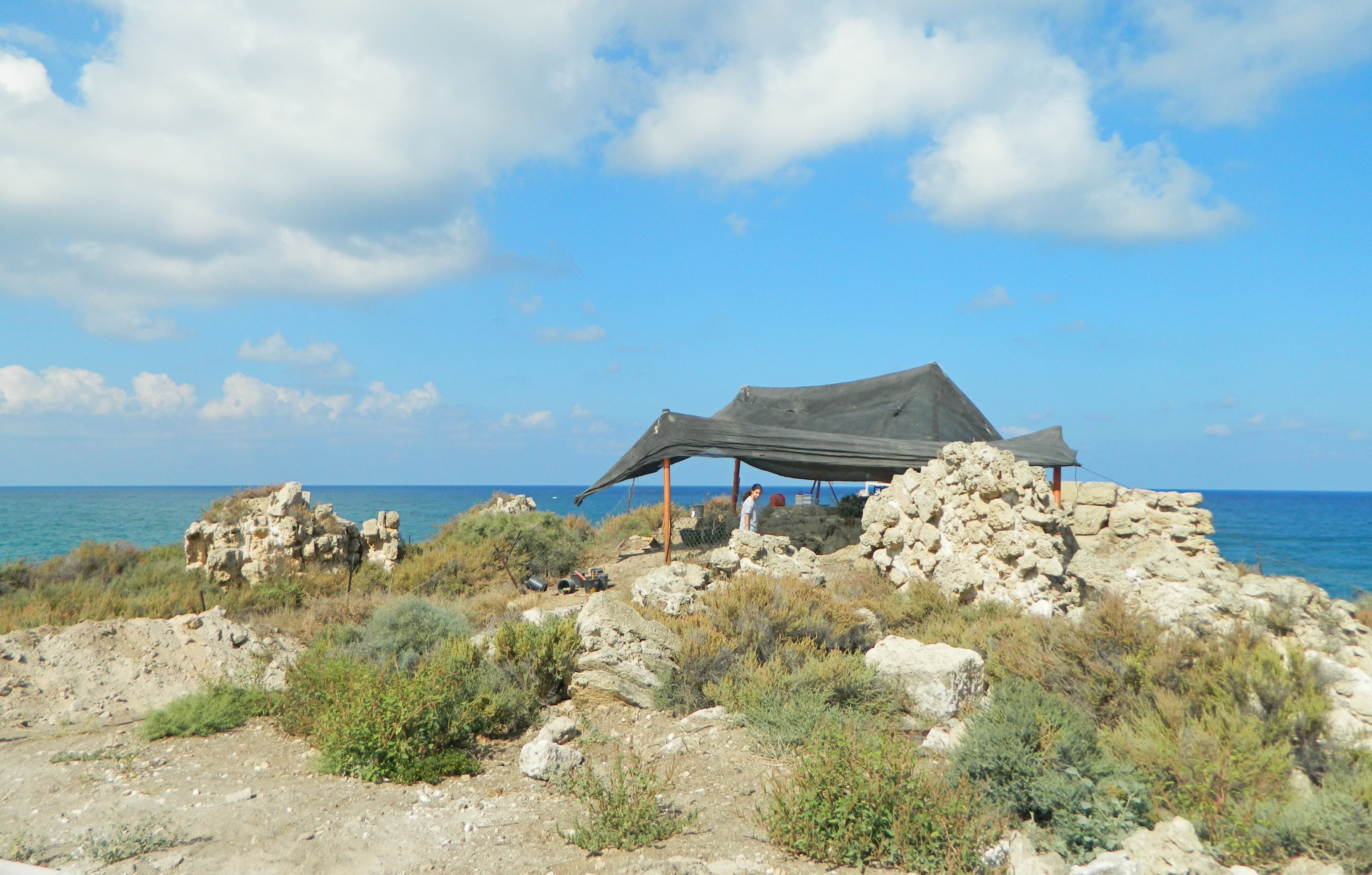
Ancient temple beside the dig site
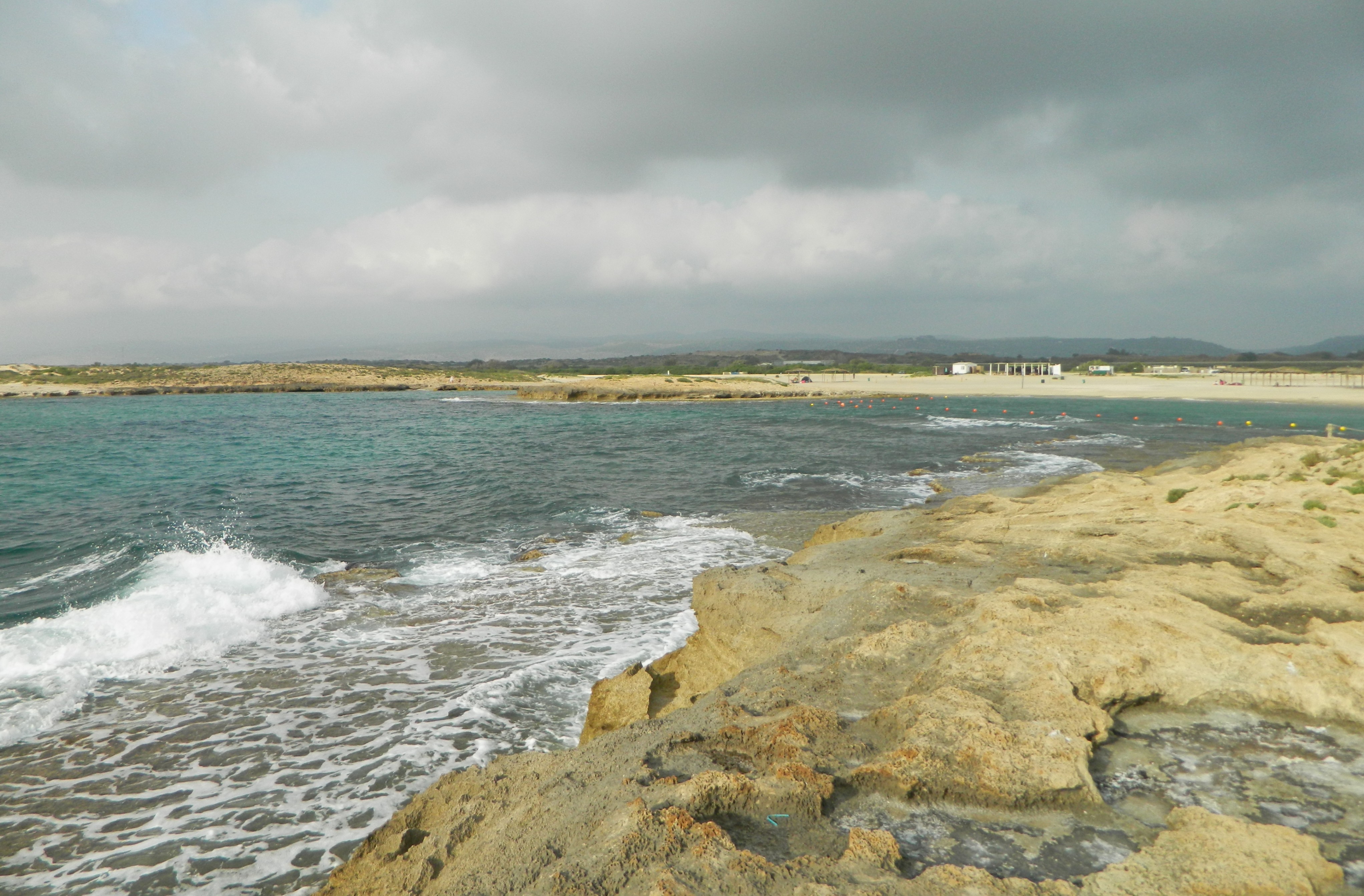
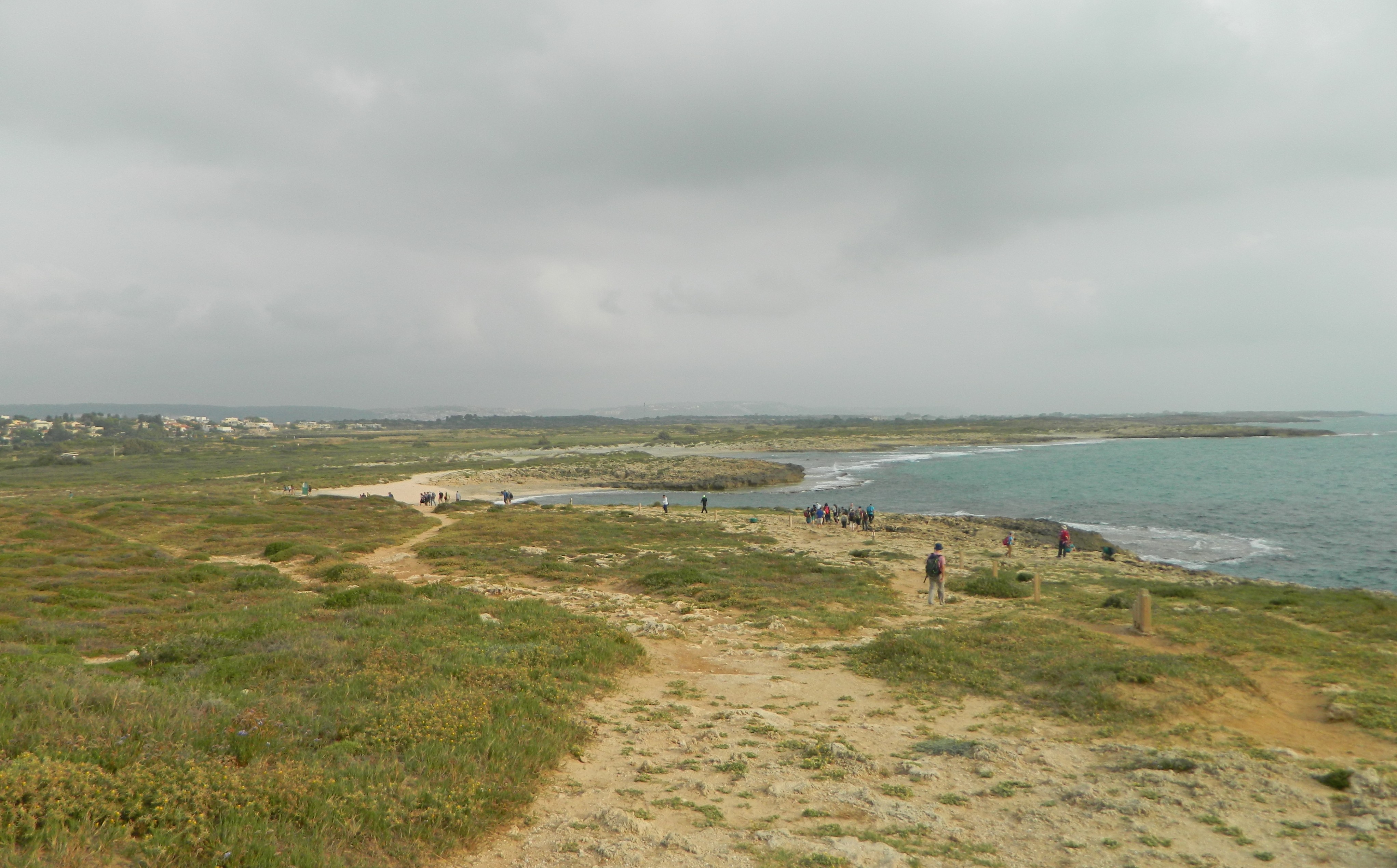
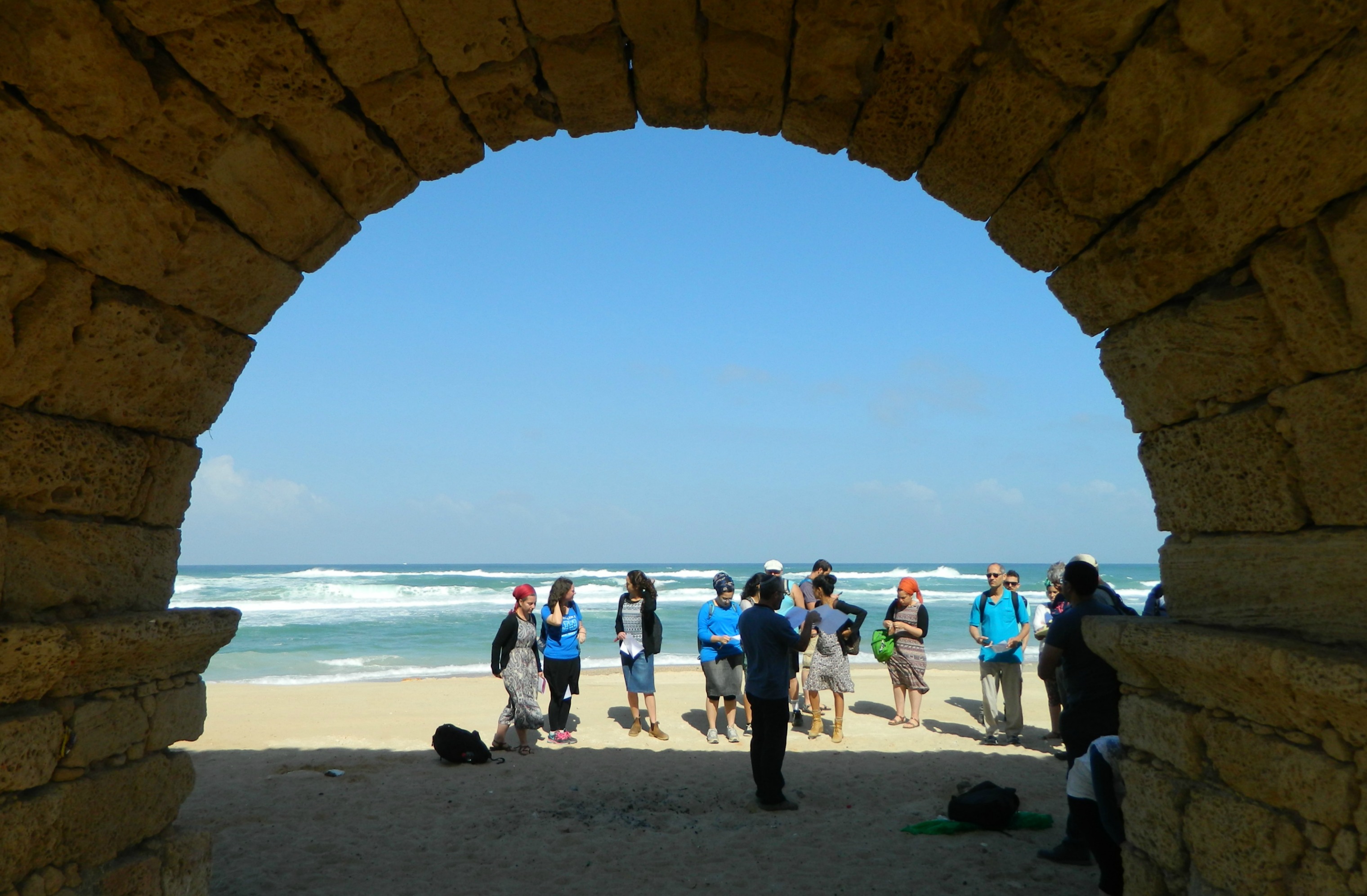
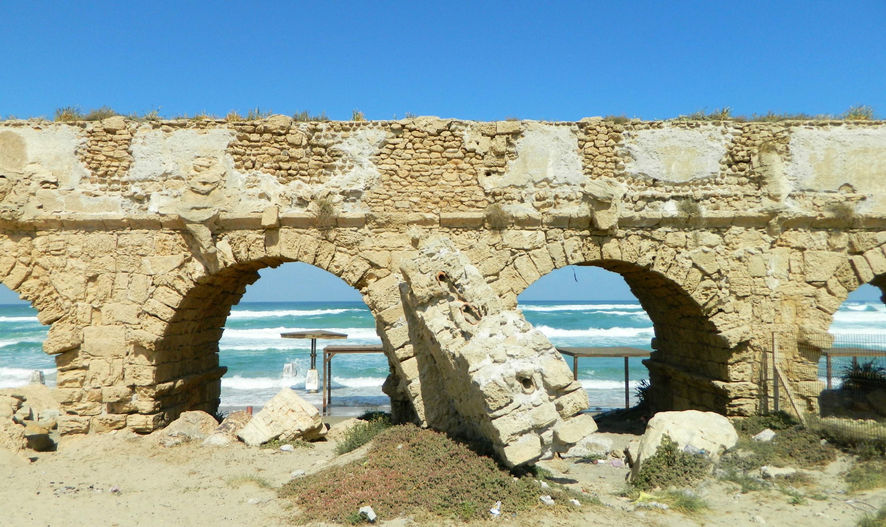
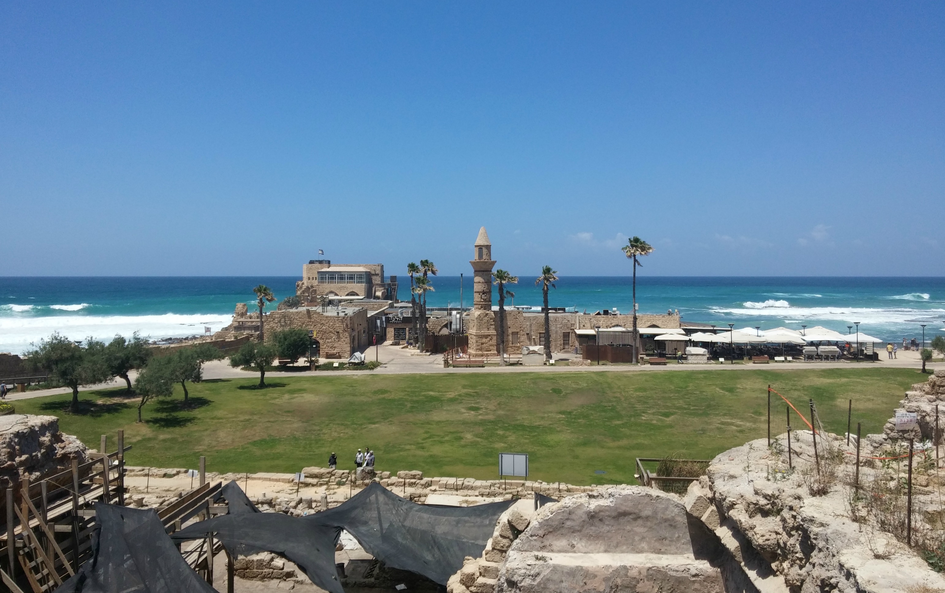
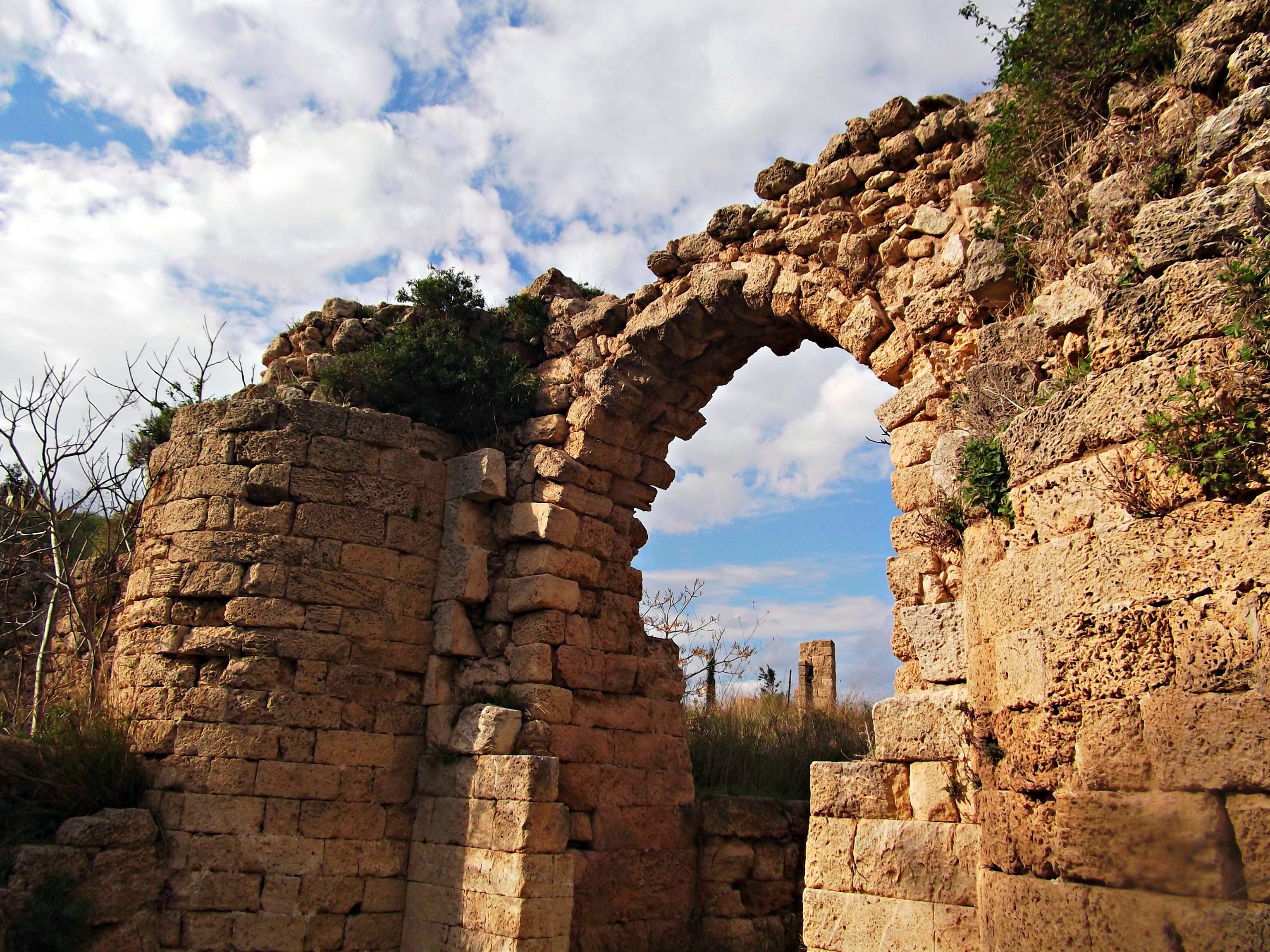
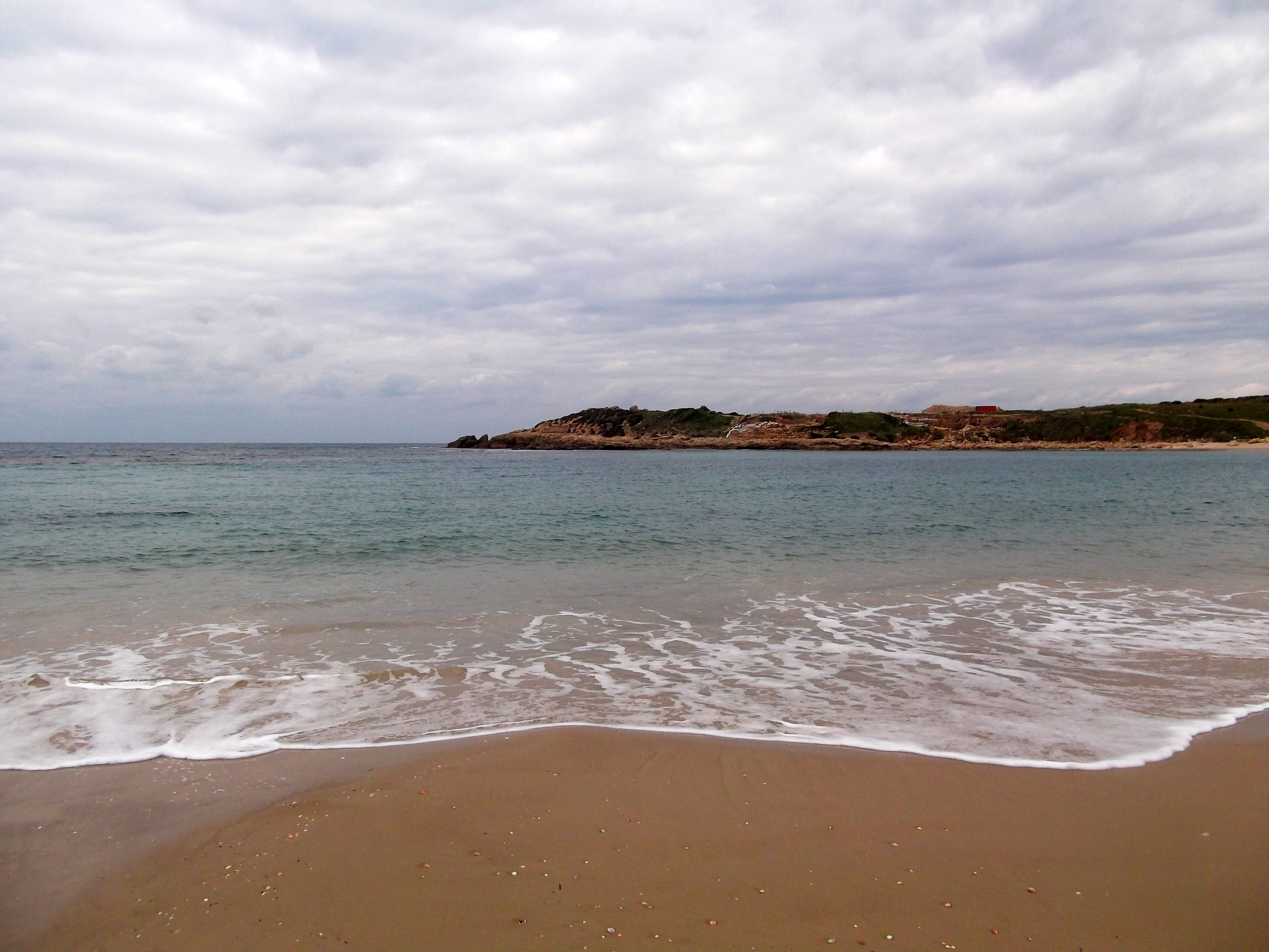
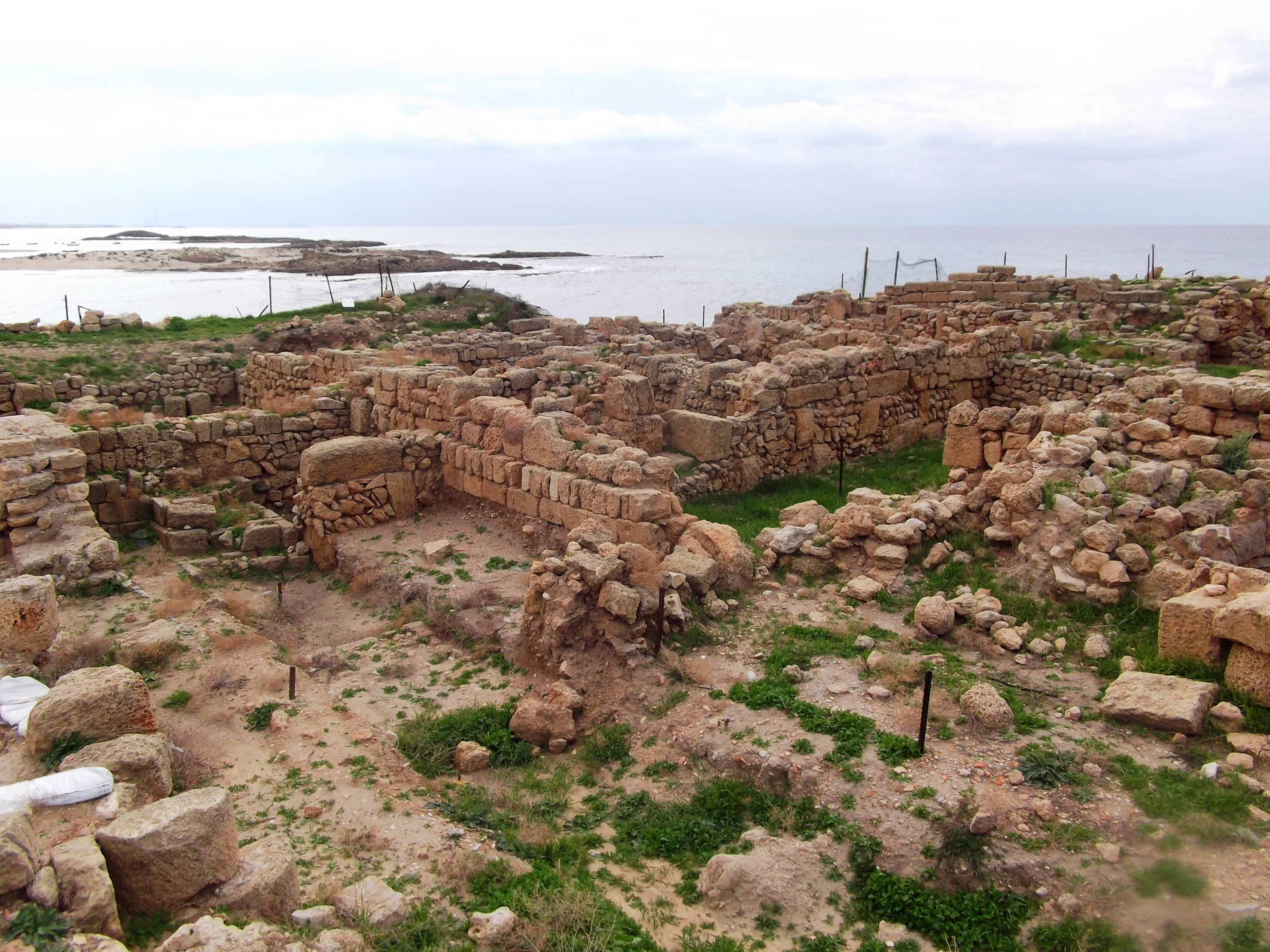
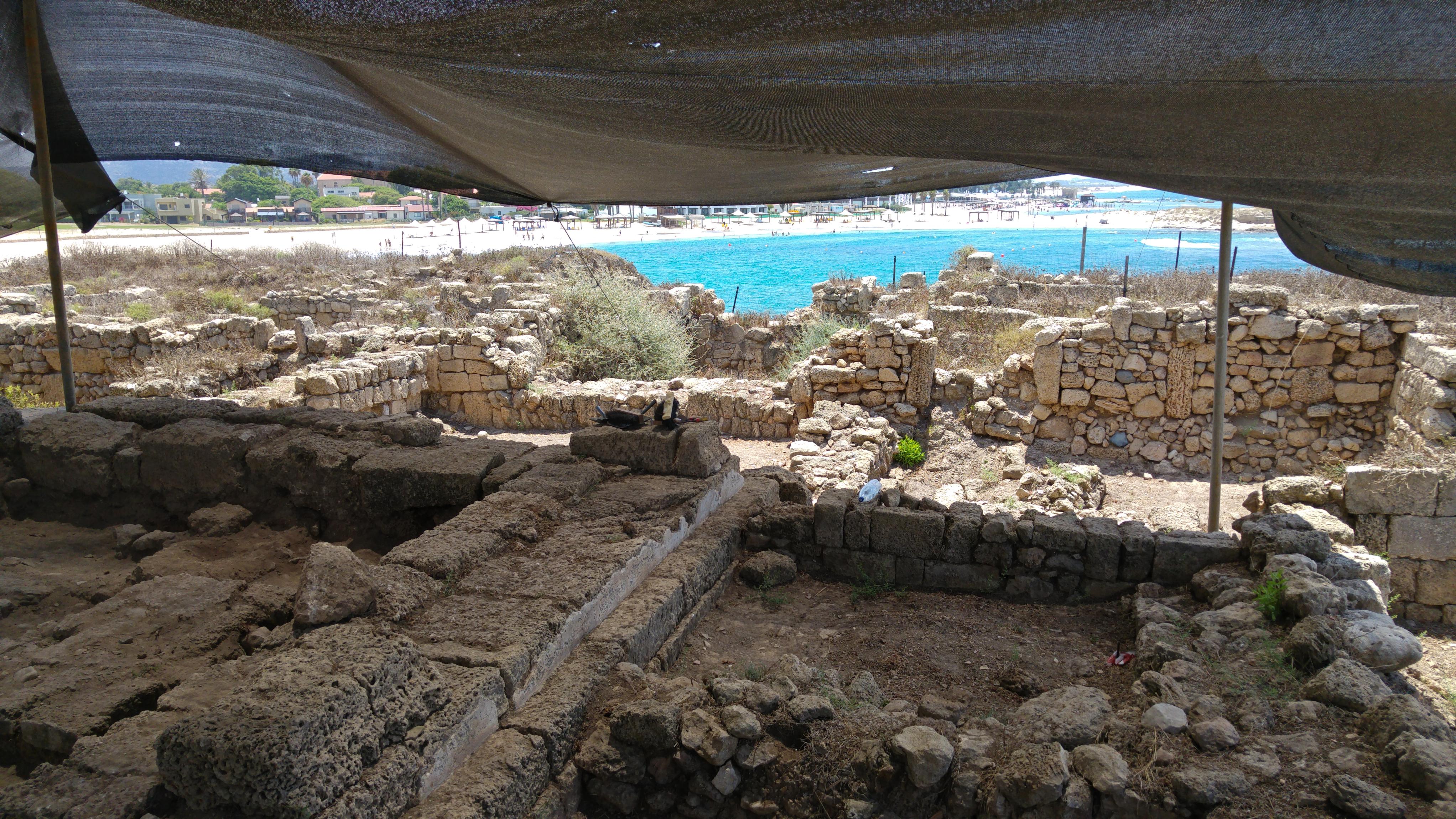
I had already visited Tel Dor a couple time before, but each time I’m taken aback by the great beauty of the ancient site. To see the excavated ruins on the hilly ground overlooking the sparkling Mediterranean Sea is delightful. As such, I was eager to get more acquainted with the city, and the ongoing archaeological excavations. Rebecca and I presented ourselves to Alex and the rest of the on-site senior staff, a blend of representatives from Hebrew University, Haifa University and Boston University. During breakfast, we received from field supervisor Alex of BU a quick overview of the site, the area we were to be digging in and the people involved.

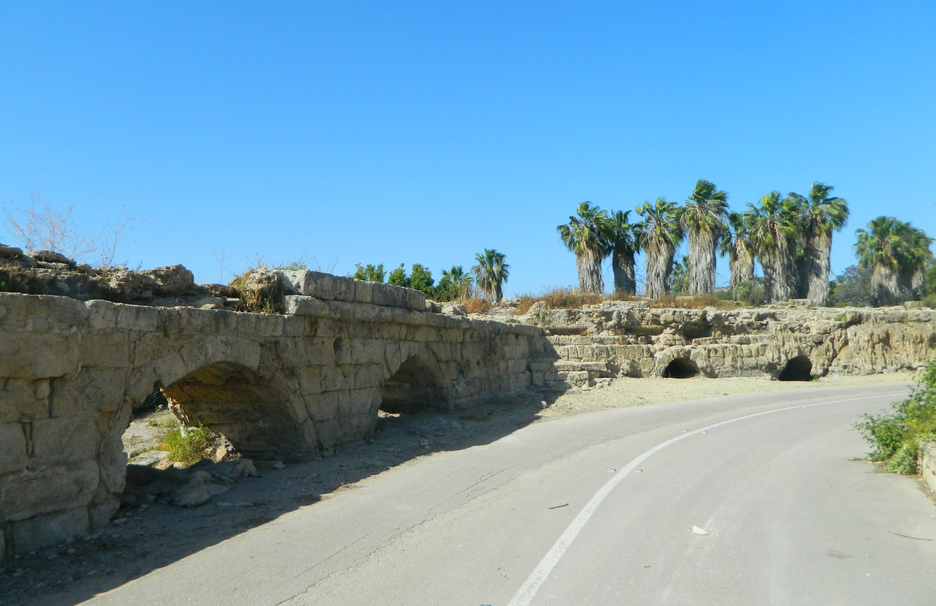
Ancient ruins of Tel Dor
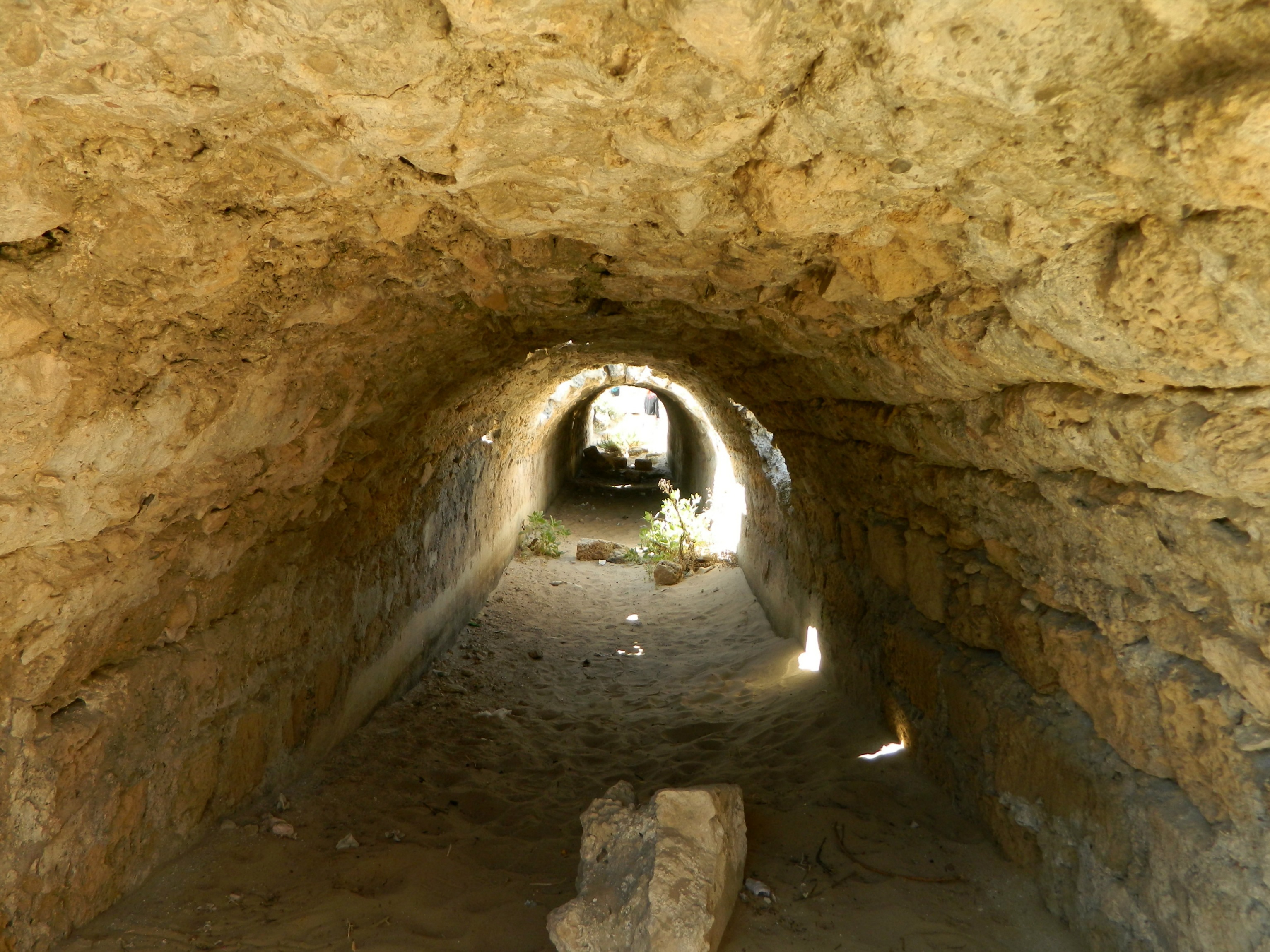
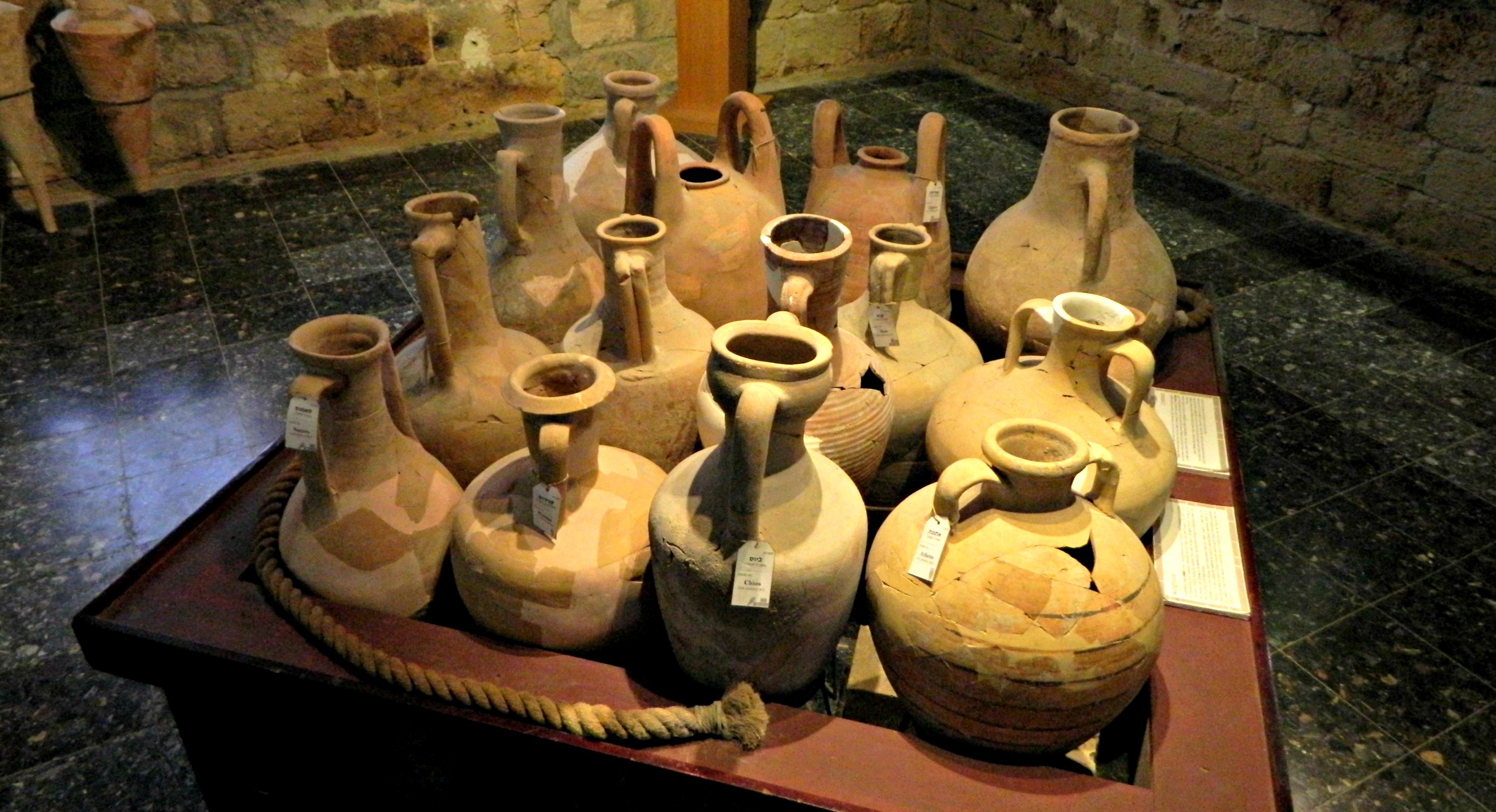
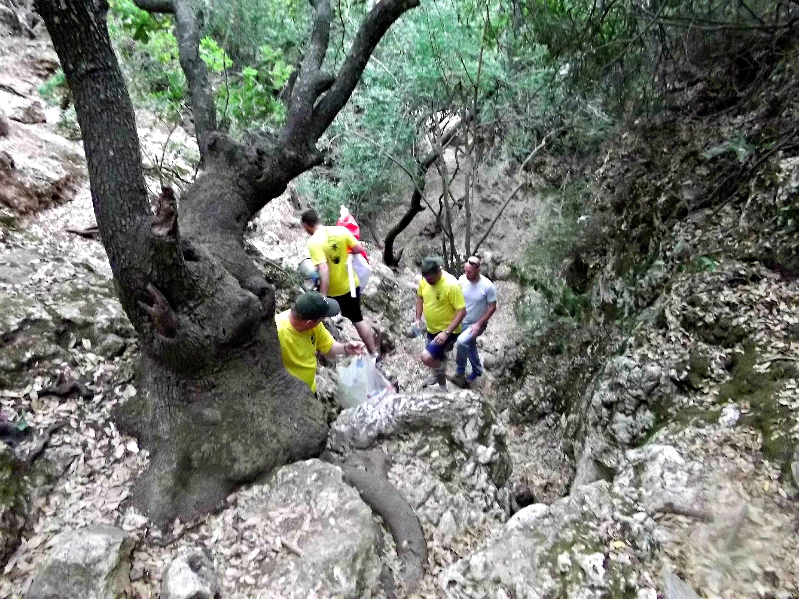
Our first task, after getting our gloves on and equipping ourselves with the necessary tools for the job, was to clear away a “robber’s trench” beside a Classical column base (which the team dubbed “Colin”). Just to elaborate, a “robber’s trench” is a void in a wall where the original stones were removed from, not quite as exciting as it might have sounded. We were introduced to the junior staff member attached to this area and began the task at hand. After a month at Tel es-Safi’s Area Y, where we found barely any pottery, it was exciting to find large sherds just hiding centimetres below the visible layer of dirt.

Getting ready to excavate the robber’s trench
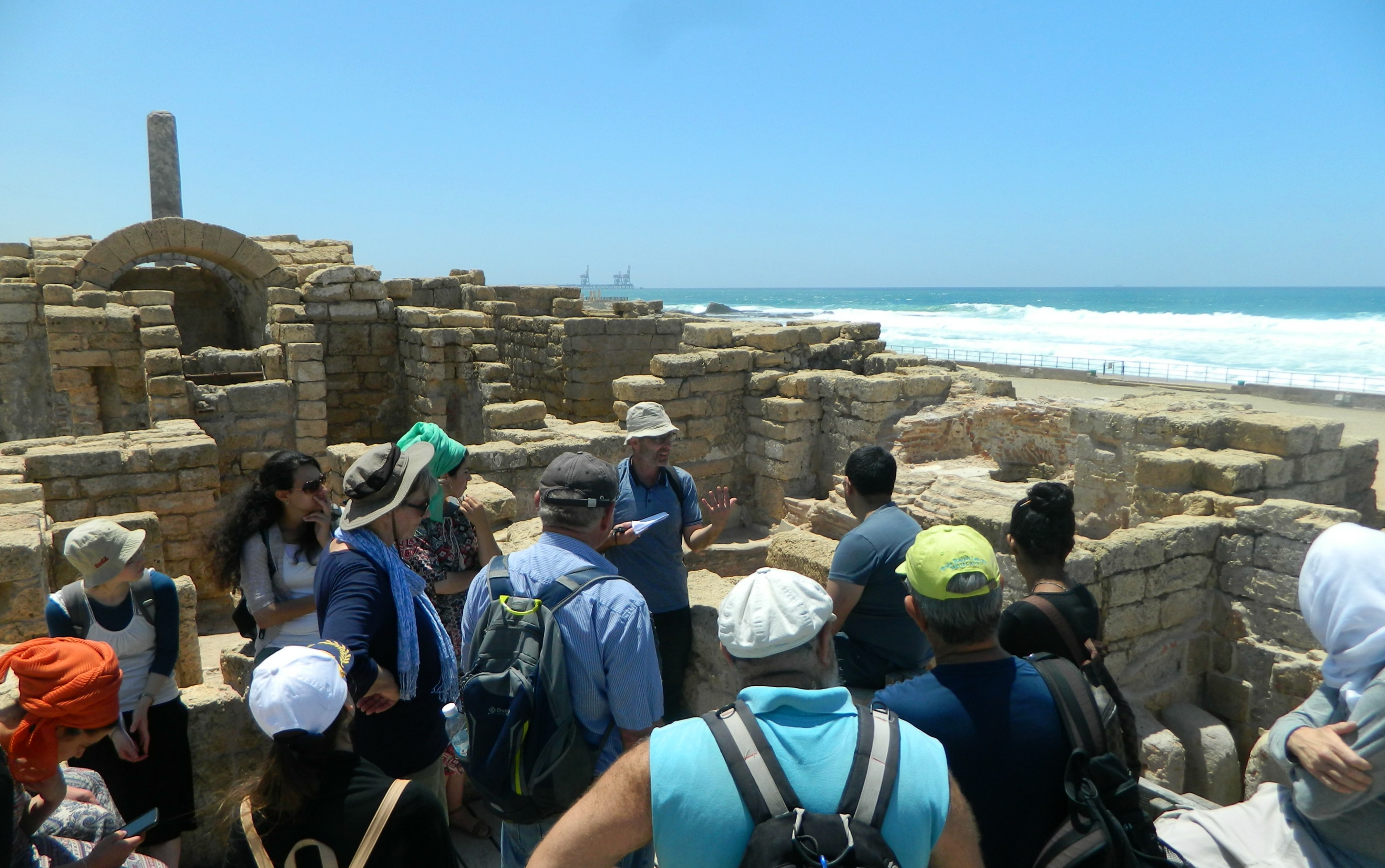
Rebecca and I scraped and scraped at the loose brown earth, filling up buckets of both pottery and dirt. We had even found some shell fragments and a few plain tessera (small cubed mosaic stones), but nothing too exciting. Before long some more volunteers showed up, and we were re-purposed to a more physically demanding task. There was a monumental Hellenistic wall complete with a surviving edge of thick plaster that had been built up during the Roman period. Due to the fact that the Roman addition was situationally unimportant, we were tasked to remove the stack of dirt-lined stones that composed the later wall piece.

Nissim working on the Roman wall
This job seemed more exciting, and after just a few minutes we realised that it truly was. We scraped the dirt from between the stones, loosening them as well as revealing tons of potsherds, and then extracted the stones for Nissim to carry off to a dumping pile. While potsherds are generally the most common find for archaeologists, we had gone so long without finding much that each piece found in this Roman wall was cause for excitement. To make it even better, there was even sherds of interesting typologies to be found, such as Eastern Sigilata A and black-figure attic ware.

Black-figure sherd
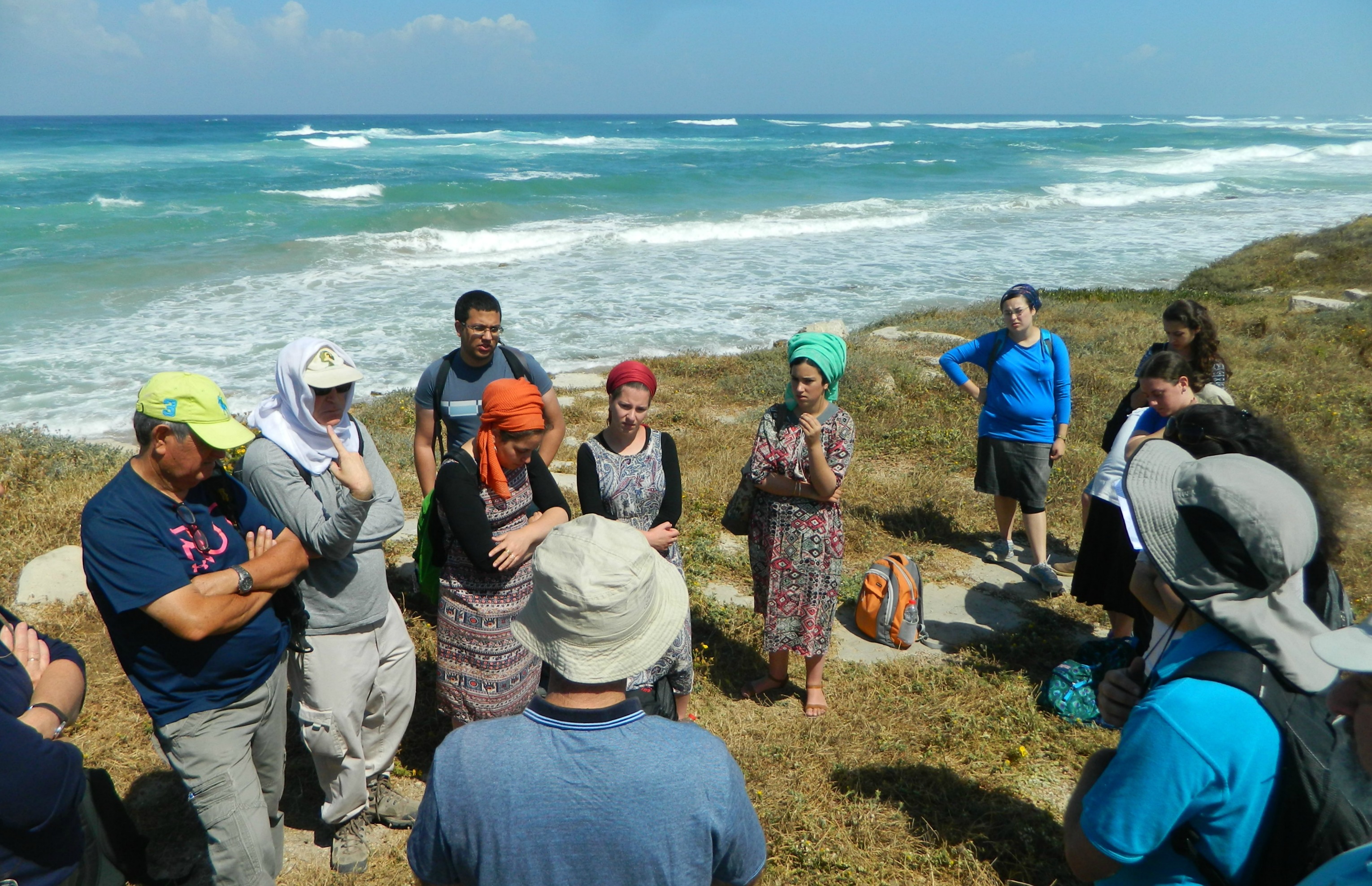
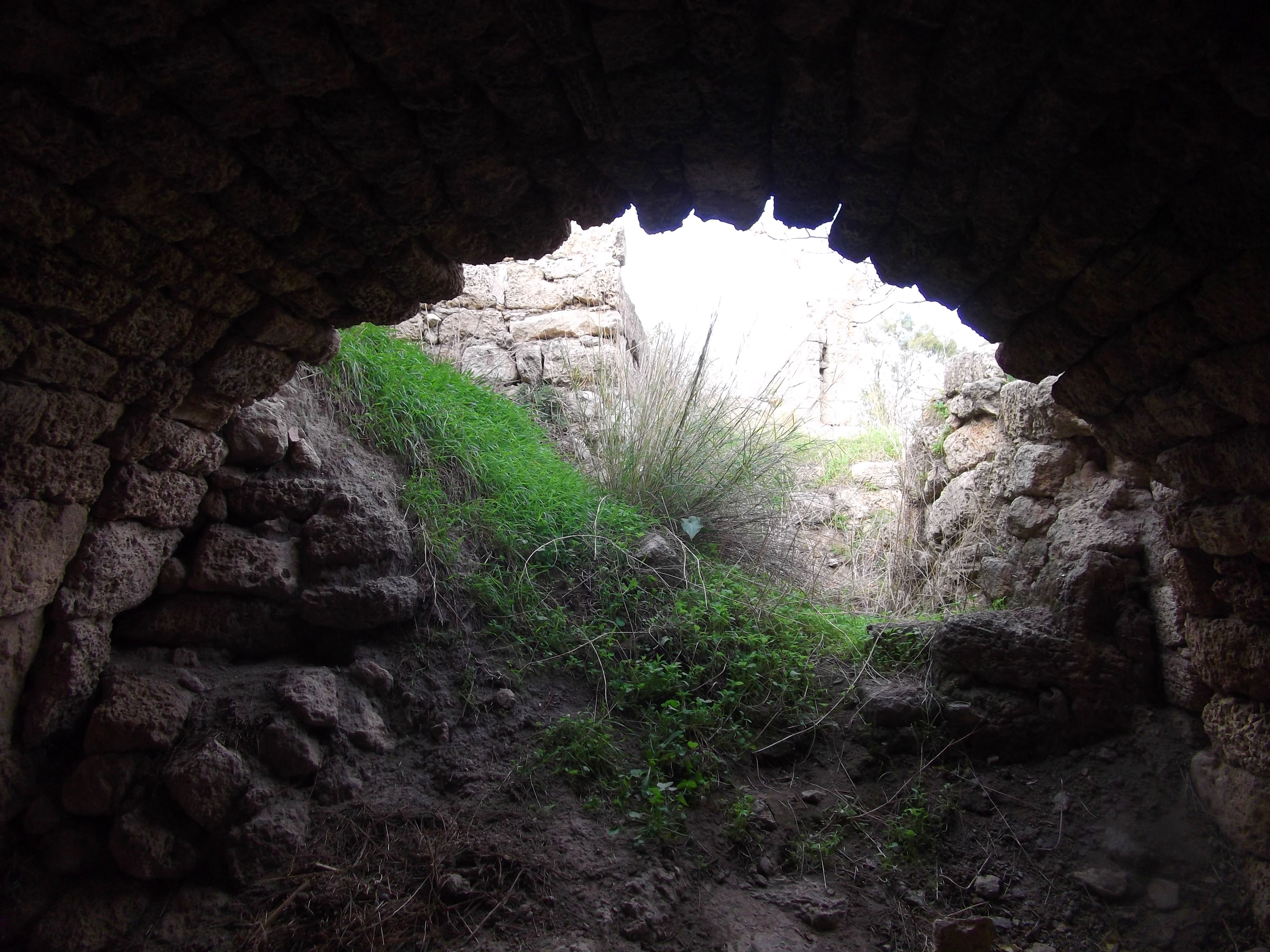
Working hard on the wall justified a quick trip to the other area under excavation when dig co-director Prof Assaf Yasur-Landau came by with a small group of dig members. I had met Assaf at Tel Kabri the previous year, but this year he was heading up the underwater excavations at Tel Dor – a truly exciting-sounding endeavour. We caught up with him just as he was leading his dive crew on a tour of the excavation just a couple metres to the west of us. This was the site of the Crusader fortress Merle, whose meagre remains had never been fully excavated. Due to my interest in Crusader archaeology, it was quick fascinating to see the excavated progress made on the ancient fortress – something I look forward to seeing in its published form.
Merle fortress under excavation
Rejuvenated from our little informative break with Prof Yasur-Landau, we returned to our south-facing wall and continued to work on the Roman stones. For those excited by the natural world, we found several murex shells, used for thousands of years to produce the finest dyes. To this day there are researchers (including Prof Zohar Amar of BIU) who seek to unlock all the secrets of this ancient dye methodology, and a room dedicated to it in the aforementioned Mizgaga Museum. Dor was one of the principal sites for this dye production, especially during the years of Phoenician rule (Dor was their southernmost city). Unfortunately, none of the murex shells that we found we intact enough to warrant preservation, but they were still exciting to find.
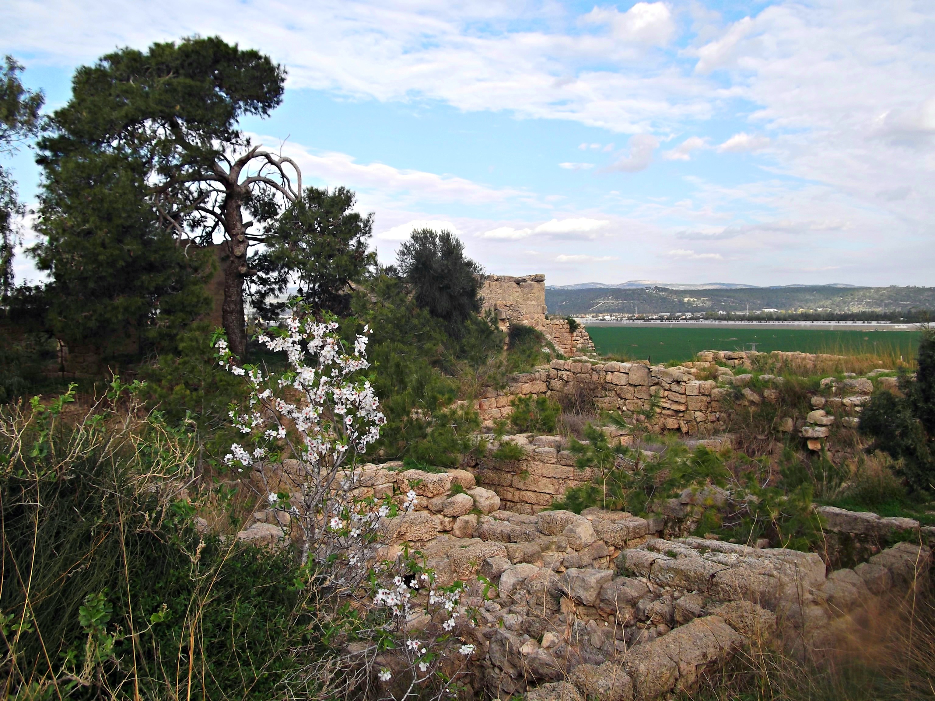
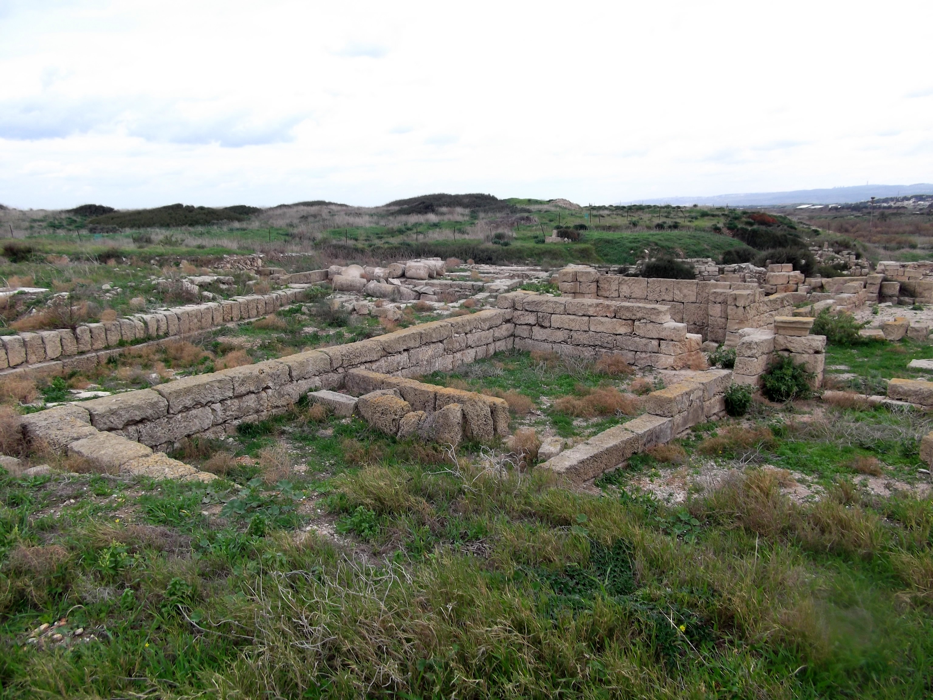
Hellenistic monumental building in the left foreground
Just after noon, when we were coming down on the stubborn lower levels of stones in the wall, we were told that it was time to quit. There were scores of dirt buckets to be emptied and loads of tools to be stowed away. It was sad not being able to finish clearing the Roman wall, but it was getting quite hot out with the midday sun beaming down upon us. We collectively emptied the buckets, stowed the tools and parted ways. My brother was leaving with the rest of the crew, so Rebecca and I took off on our own and walked the scenic way to the museum.

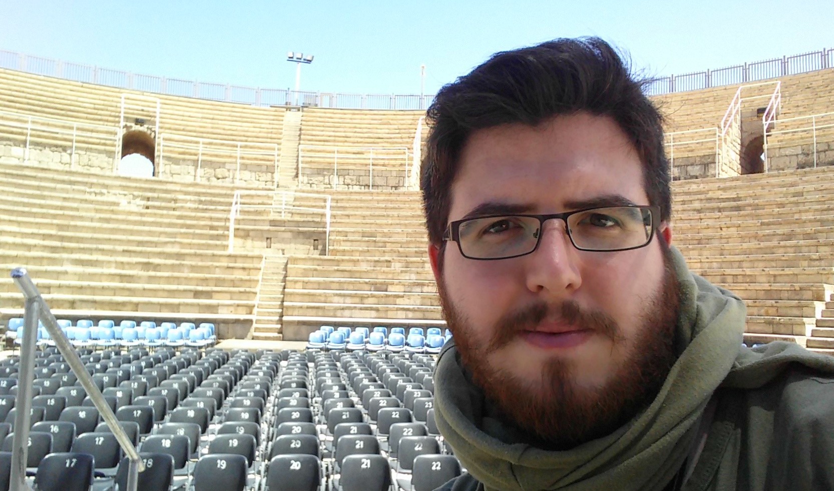
Yours truly
An hour or so later we started heading back to Givat Shmuel, stopping off at the southern edge of Haifa for lunch before boarding the south-bound train. It was a long day, but a very exciting one, and I’m very thankful to have gotten the opportunity to excavate such a cool site. I wonder what next year will have in store…
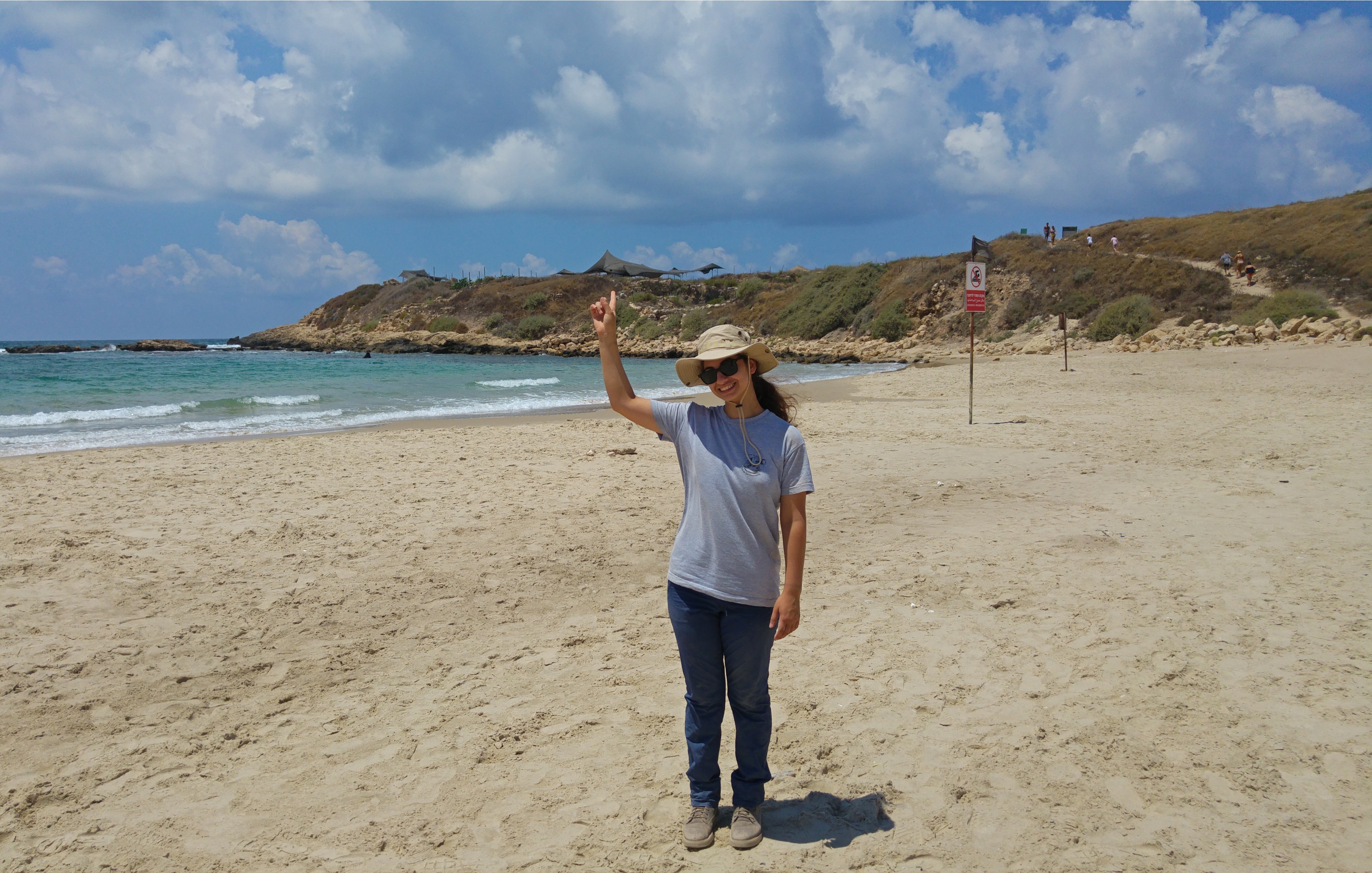
Rebecca pointing to the dig site as we left
For more information on the Tel Dor Archaeological Dig, check out their site HERE.