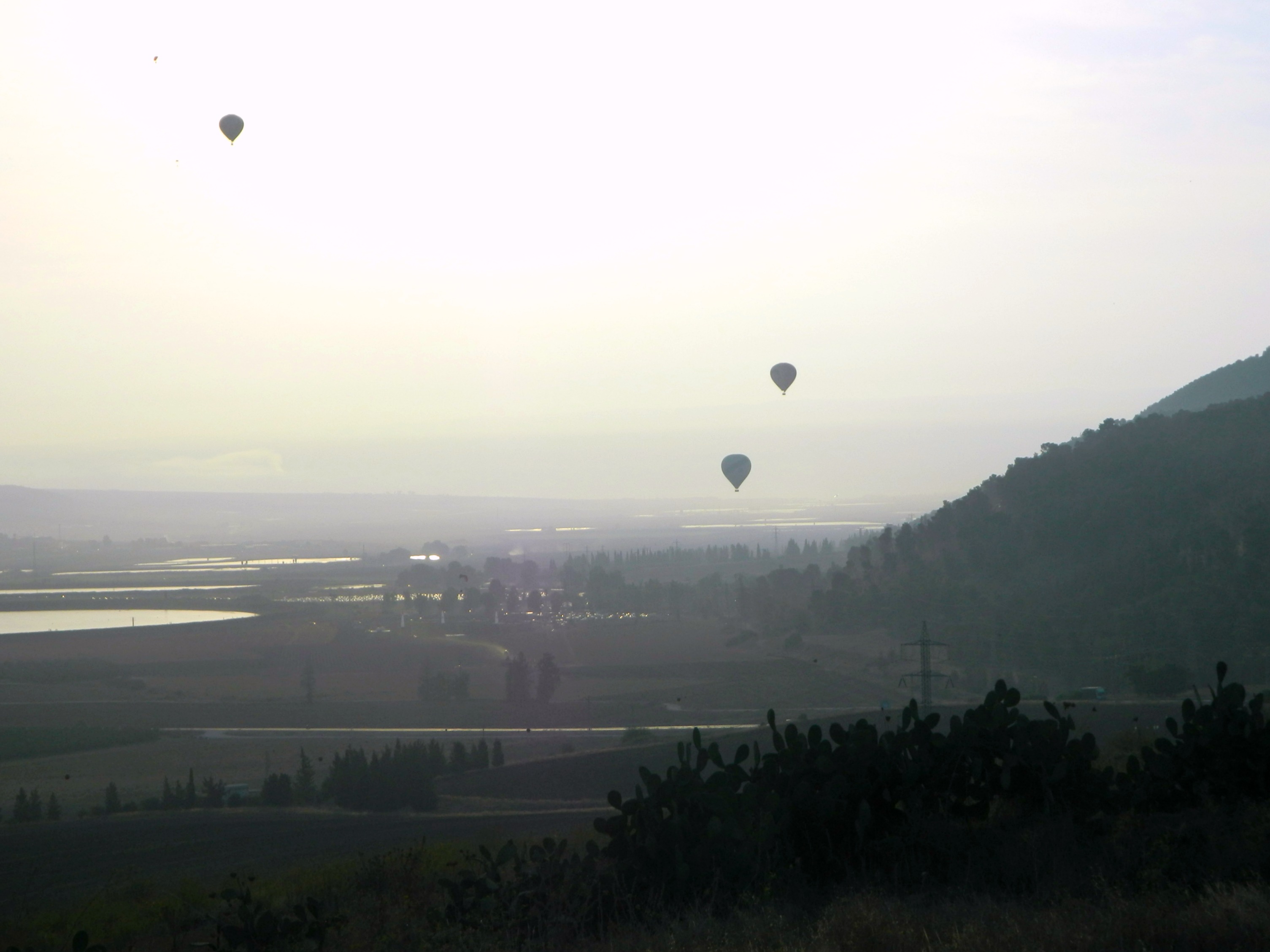
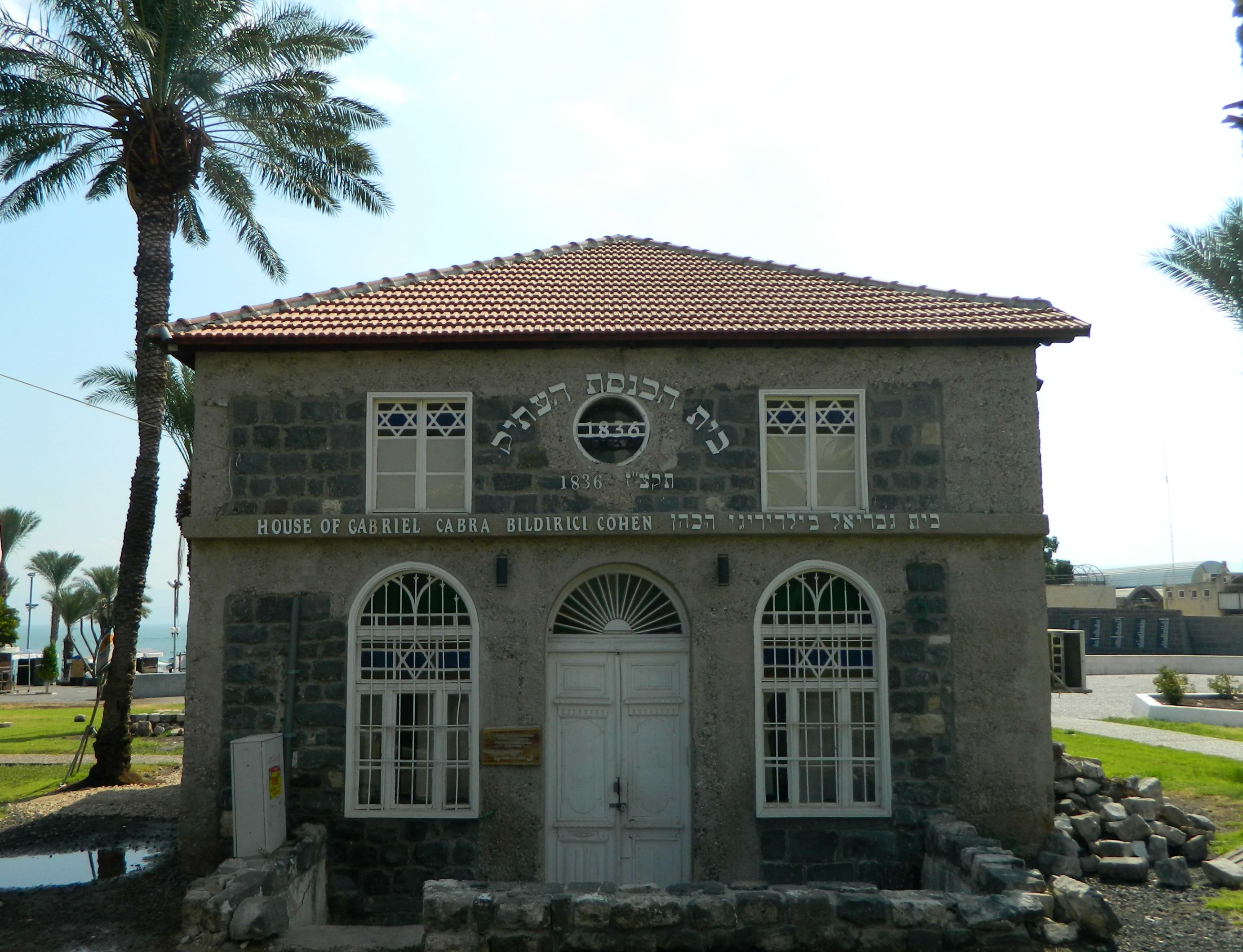
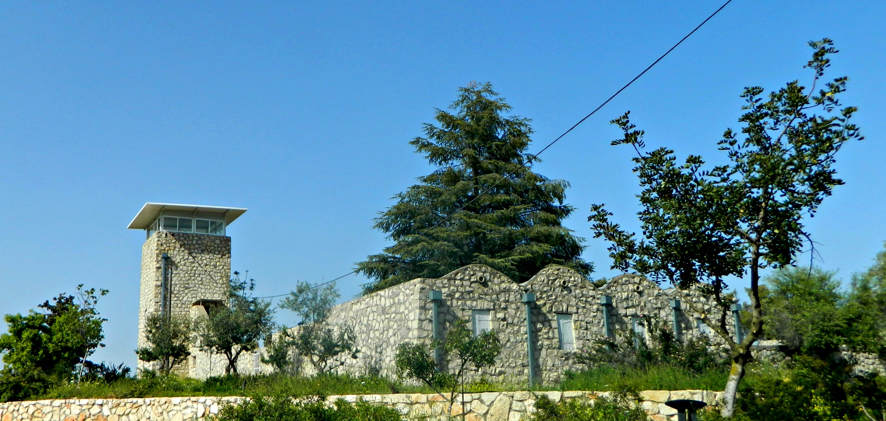
Continuing on with my trip that started on Mount Gilboa where I watched the dawn launch of the Gilboa Hot Air Balloon Festival, I had visited Tel Yizrael and was headed for my next site, Beit Shturman. Located in Kibbutz Ein Harod (of which there are two, side-by-side), Beit Shturman is a museum dedicated towards preserving the wildlife and archaeological remains of Israel. Built in 1941, the museum was one of the very first to be established in to what has become a country full of museums and art galleries, so much so that Israel is the country with the most museums per capita in the entire world.
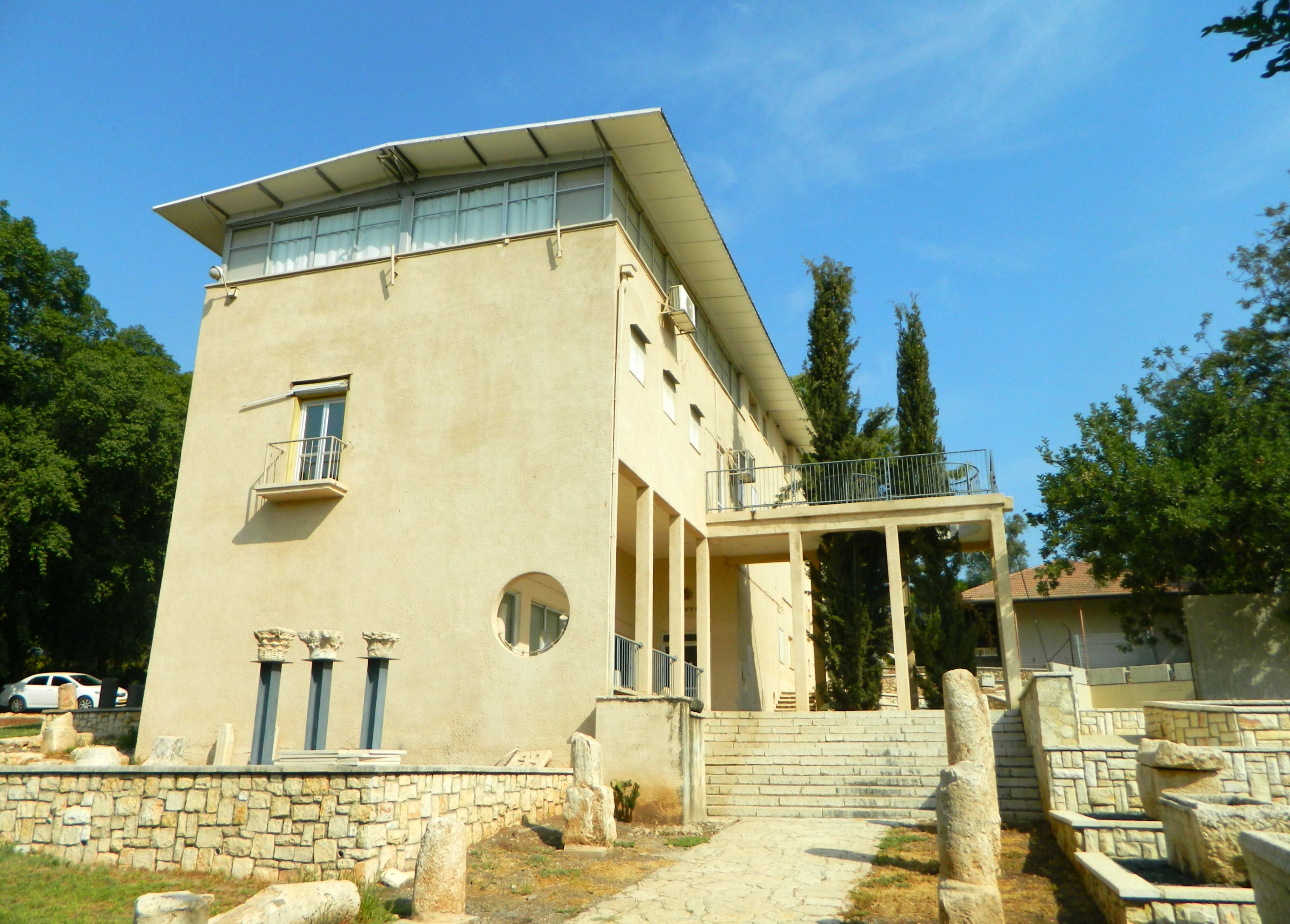
Beit Shturman
I parked outside a school and sauntered over to the museum, the front door opening as a museum administrator greeted me by name. My visit began with a short film dedicated to the history of the museum, and more importantly, the personal history of the Shturman family. Named after Chaim Shturman, who was tragically killed by a land mine, the museum hopes to be a living reminder of the things that Chaim held dear as an important member of the settlement projects in the Holy Land. Subsequent members of his family also lost their lives fighting for the same cause and the museum renewed their dedication with each loss.

Mold art
I then began my tour of the building with a quick look at the small art gallery, where I found something quite unique. I’m not one for modern art, but I found this particular piece to be compelling: a circular display of mold that had grown on a mixture of black coffee and sugar. Heading into the next room, I feasted my eyes on the myriad of stuffed birds, mammals and more – a taxidermist’s dream. I found the collection of stuffed raptors to be most interesting as it gave me a little further information on all the Old World birds of prey that I know too little about. The jars of preserved human and animal fetuses and embryos were a bit much, but the stuffed hyena reinvigorated me, as I had seen only a mere glimpse of one in the wild. I then learned something interesting about the teeth of the nutria (or coypu, an invasive species from South America) which will continue to grow unchecked if the opposing tooth is broken or extracted.

Nutria tooth trivia
Leaving the room of animal wonders, I headed into the exhibition of Orde Charles Wingate, “The Friend”. Without delving too far into pre-Independence history, Wingate was a British officer who, upon reading the Bible, took great interest in helping the Jewish pioneers in their struggle for freedom. In 1938, Wingate established the Special Night Squads that were composed of both British soldiers and Jewish “notrim” or Auxiliary Police who were then trained as mobile ambush units. As the time went on, Wingate would fill his ranks with an increasing percentage of Jewish soldiers and his actions, controversial yet successful, began to show to his superiors in the field and back in London. There was a change of policy towards the Jews in 1939 and the SNS was disbanded, with Wingate being transferred to Burma. The success of the SNS left a deep mark in the Jewish pioneers and the unit itself has been thought of as a forerunner to the elite British SAS that we know of today.
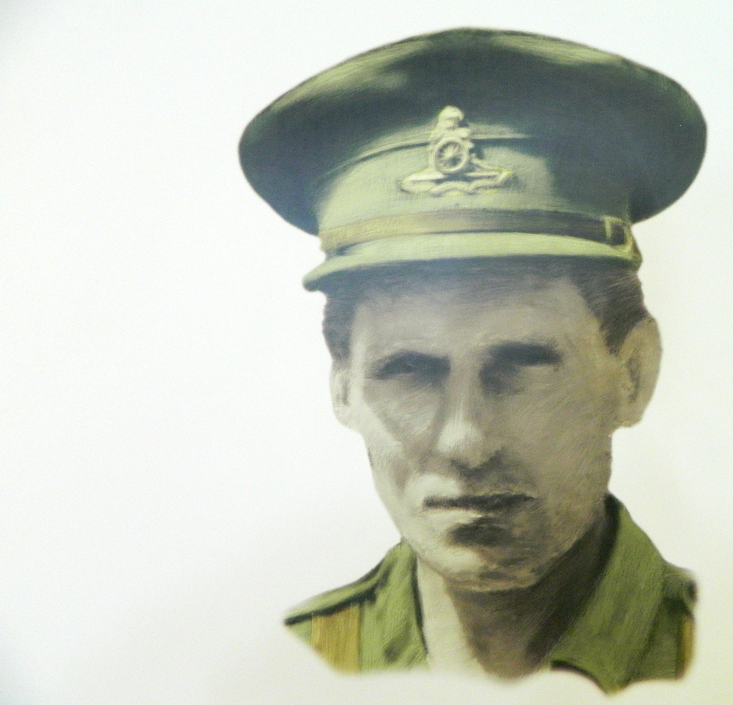
Orde Charles Wingate
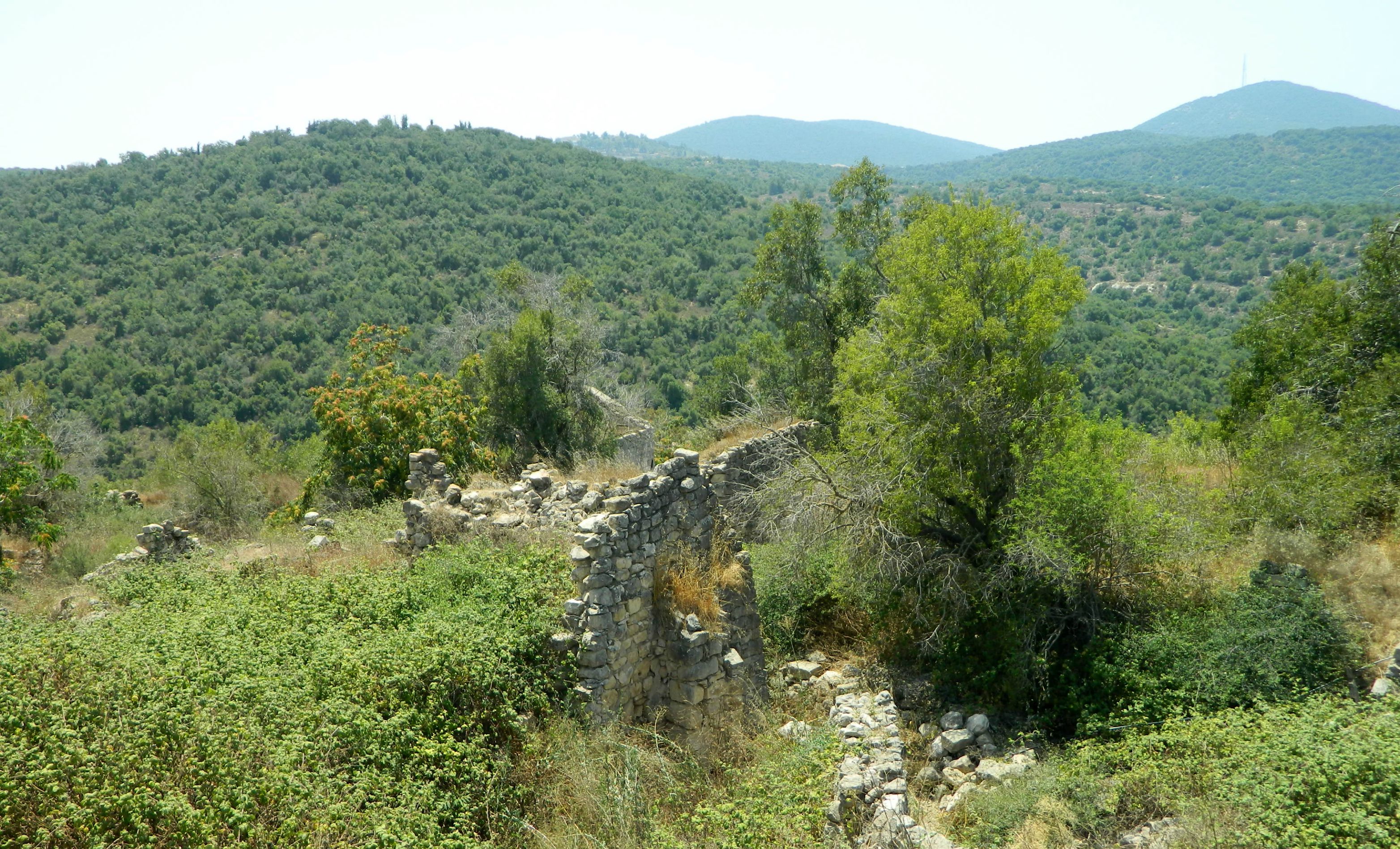
Leaving the building, I walked the archaeological garden outside, stocked with pillars, presses, sarcophagi and more, all temporarily unlabeled due to renovations. Bidding farewell to the helpful guides, I took a quick look at the kibbutz’s derelict Founders’ Courtyard with the scattered farm tools and equipment which helped create the kibbutz, and then headed for my next destination: Beit Alpha.

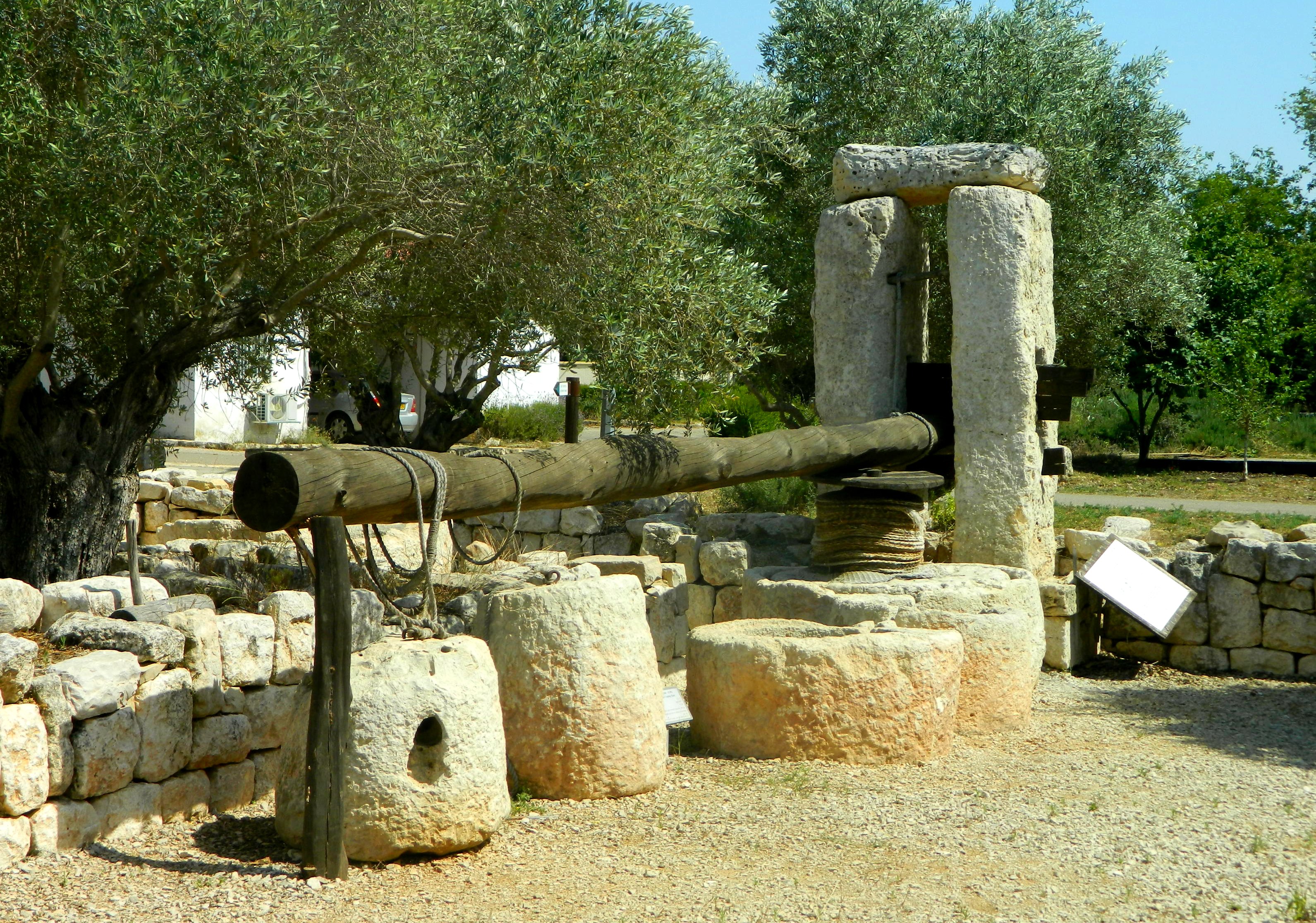
Founders’ Courtyard
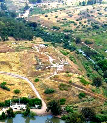
Perhaps the smallest national park, Beit Alpha is only one large room with a reception/gift shop and outdoor covered courtyard. But it’s the contents of that one room that gives the site its importance – the excavation of a 1,500 year old synagogue.
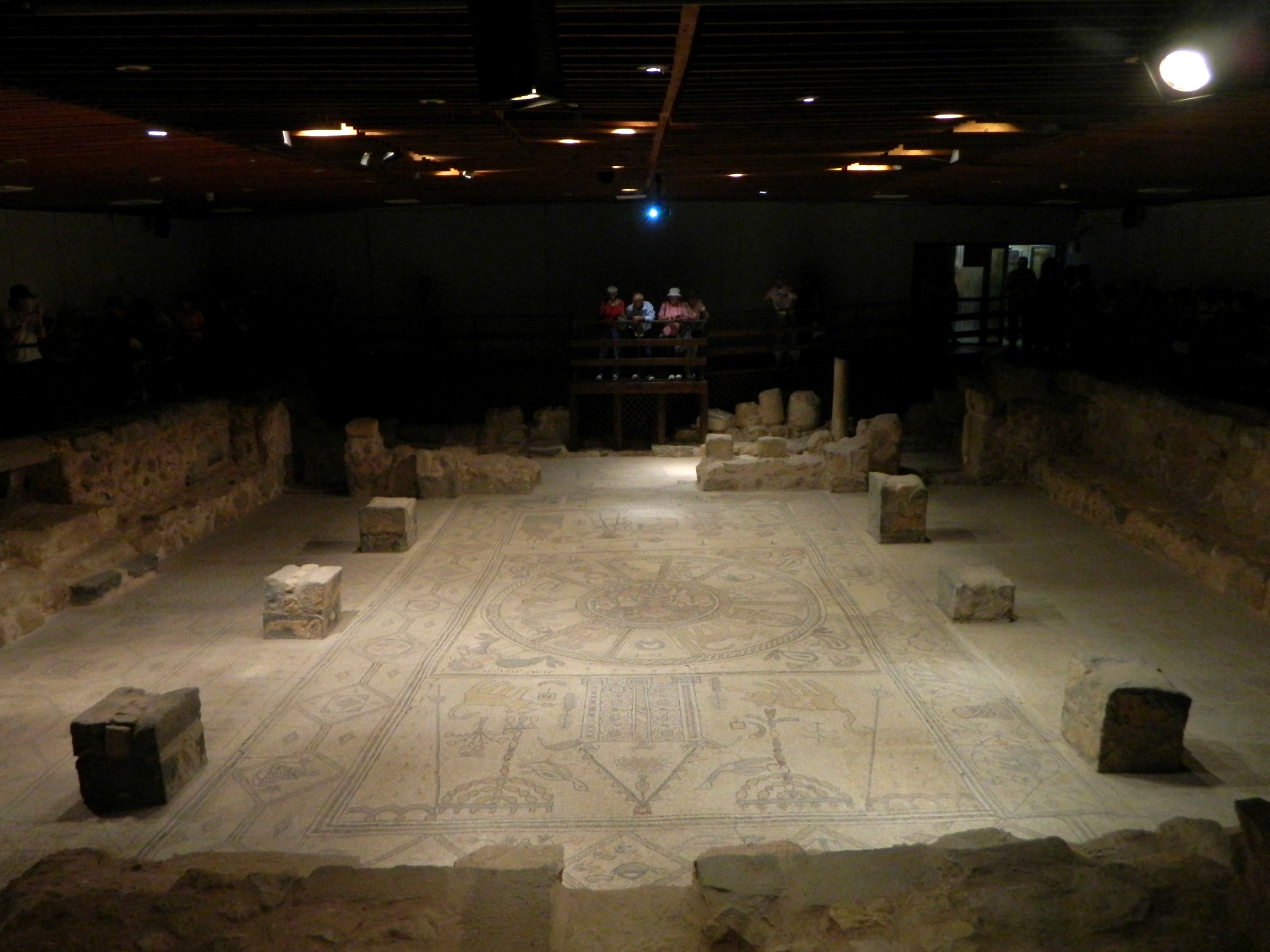
Beit Alpha Synagogue mosaic floor
Notably the first Jewish excavation held in modern times, the synagogue was discovered by members of the Beit Alpha and Hefzi-Ba kibbutzim in 1928. Unearthing was done the following year and the elaborate mosaic floors uncovered are known to be among the most beautiful and best preserved in the country. Prior to seeing the whole floor bathed in light, a video is played with actors recreating the scene of what could possibly have been the thought process behind the synagogue’s design. As several of the mosaic details seem “off”, it is believed that sections or designs were simply copied from the ancient synagogues of nearby Tiberias, which was a centre of Judaism at the time.

Artist’s imagination of the Beit Alpha Synagogue building
The artists who created the Beit Alpha mosaics, Marianos and his son Hanina, were also listed as the ones creating mosaics in neighbouring Bet Shean, which is logical as mosaic floors were all the rage during the late Roman periods. Even seemingly idolatrous constructions of Greco-Roman gods, such as Helios seen here in the centre of the zodiac, were also seen as something acceptable and perhaps even beautiful from a cultural point of view. With the different areas being illuminated by spotlight throughout the video, in-depth explanations of iconographic significance were afforded to the modern spectator. When the show was over, the lights went on and I took a full loop around the room, taking photographs from various angles.

Closer look at the mosaic
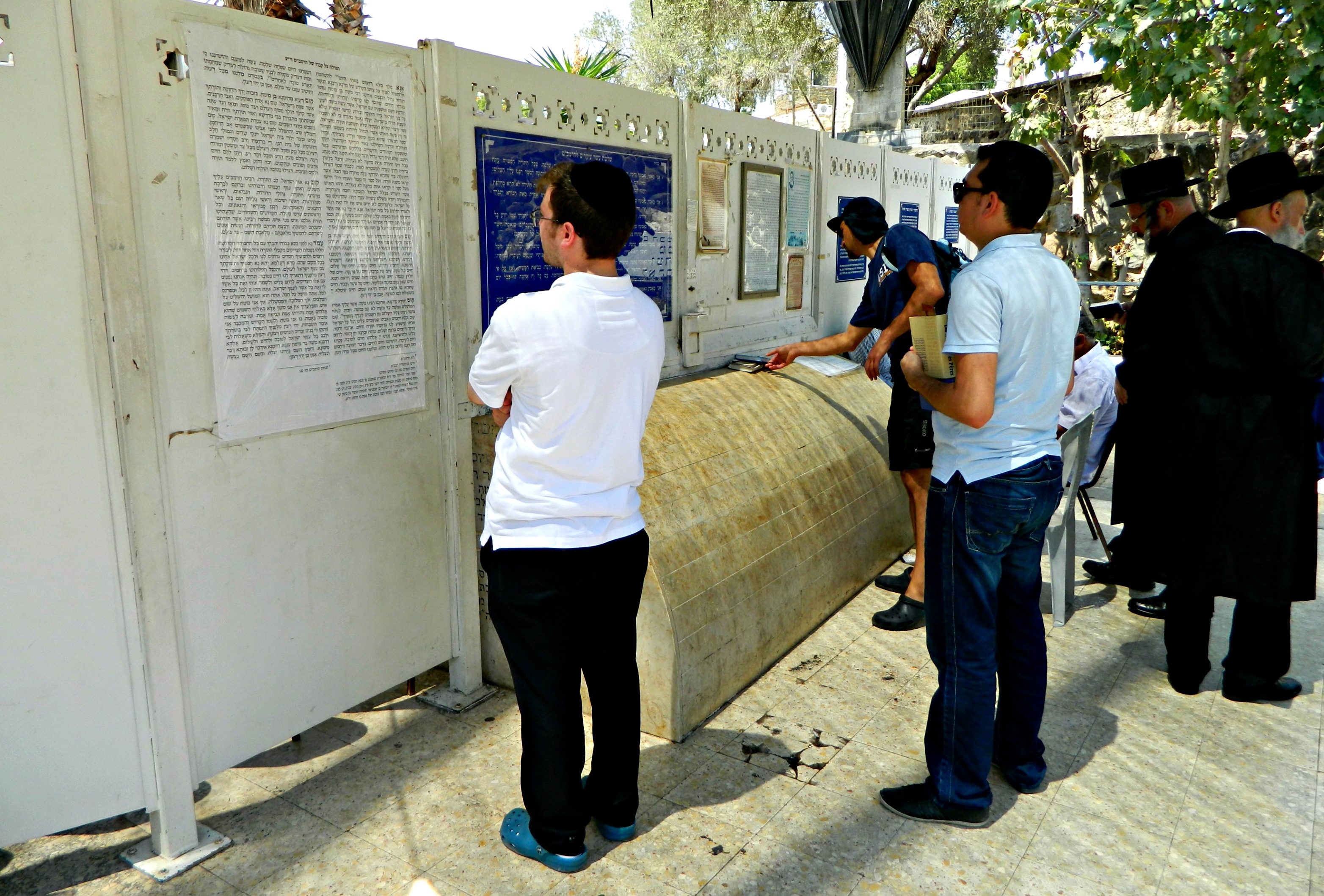
With a new group entering to watch the video anew, I headed out and glanced over the information outside concerning ancient synagogues in northern Israel, predominately found in the eastern Galilee and the western Golan. Having eaten my lunch in the national park’s sukkah, I got back in the car and drove off to my next destination: Bet Shean.


