On the third day of this Pesach’s Chol HaMoed I planned a trip for my family to a series of interesting sites along the Old Northern Road (also known as Road 899) which hugs the Israel-Lebanon border. With intentions on eating lunch somewhere along the way, we packed a nice picnic, including fruits and snacks, cold drinks, a pan of matza lasagna and even a bottle of chilled white wine. Leaving Ma’alot, we headed in the direction of the Mediterranean Sea but turned right at Kabri Junction to reach the Old Northern Road.
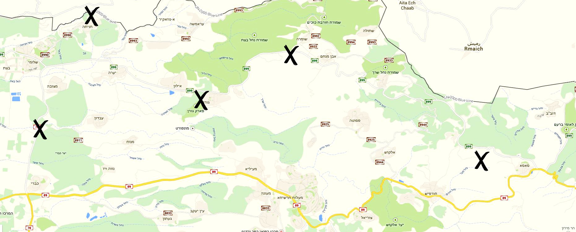
X marks the spots
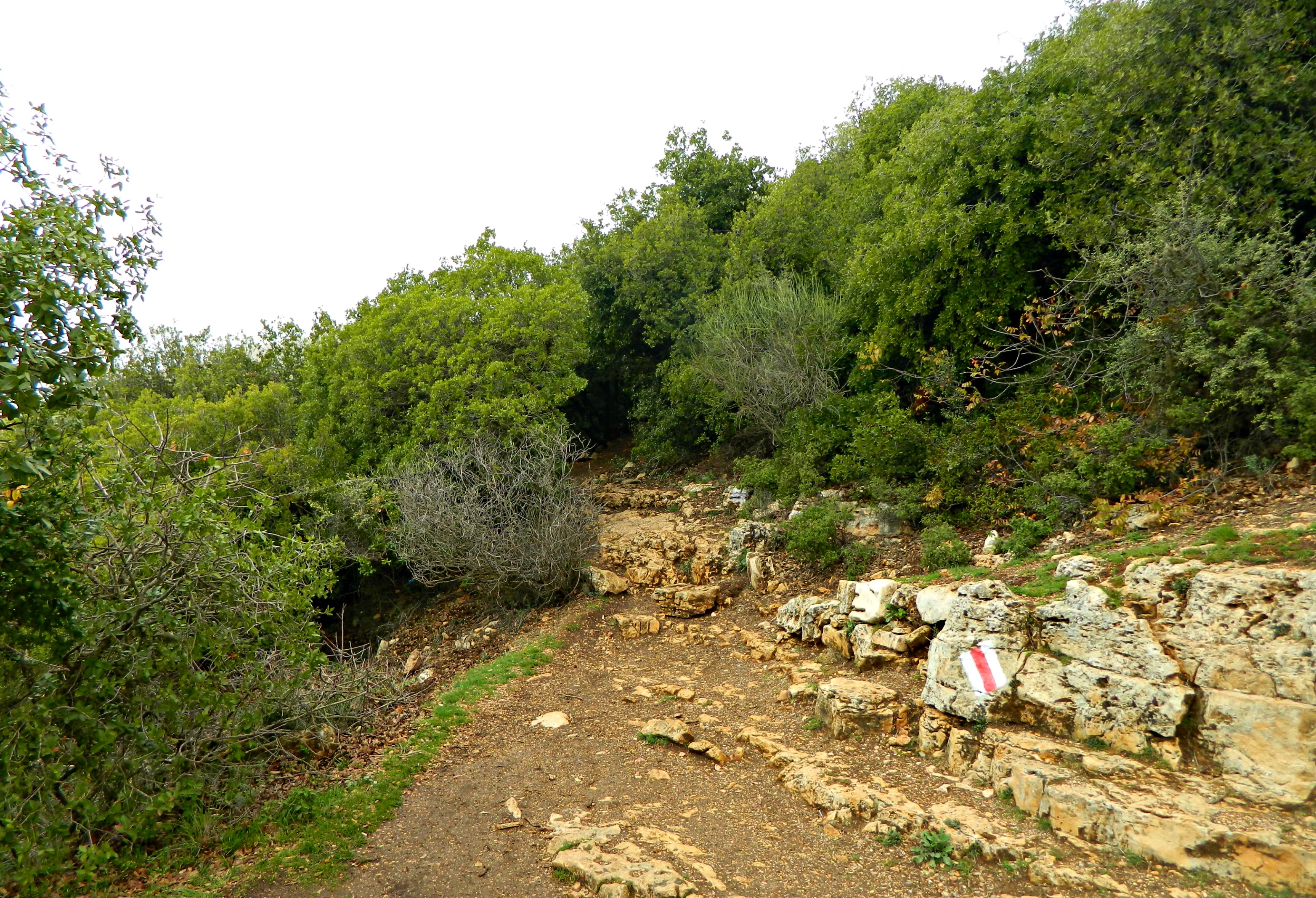
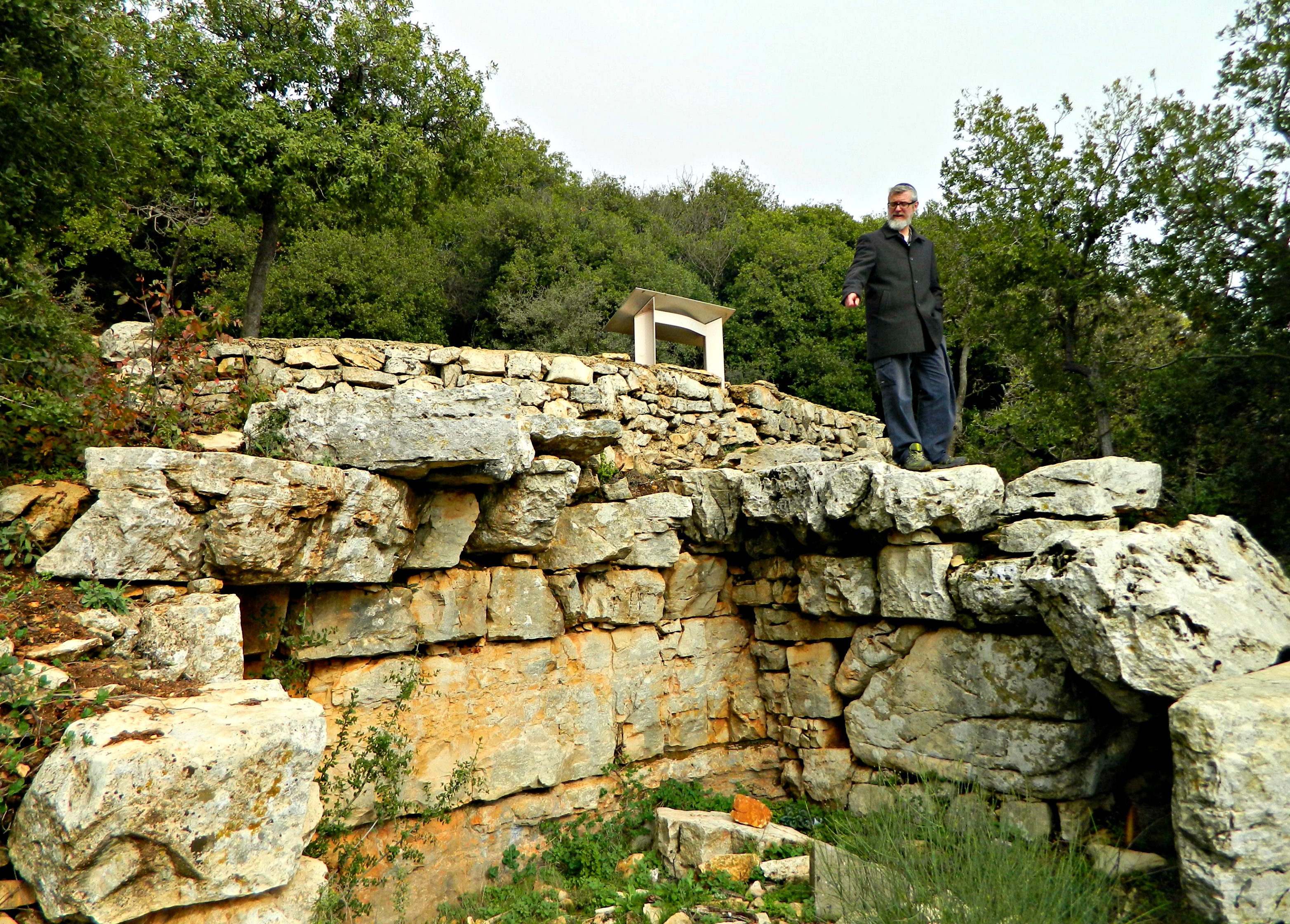
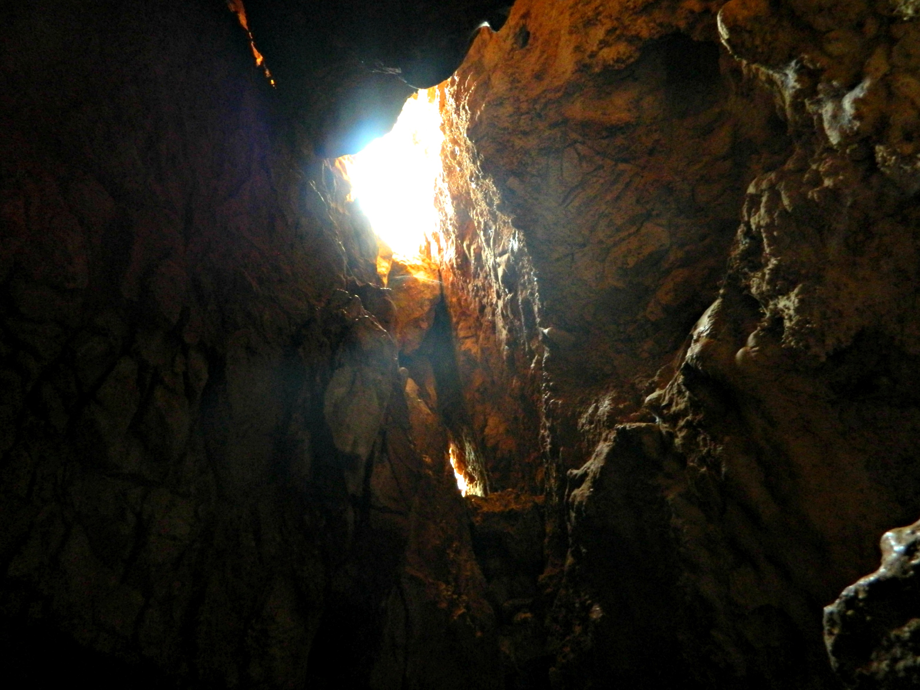
Our first stop was just up ahead, ruins at the junction of the road to Manot. The site, aptly named Manot ruins, was relatively easy to find and we only suffered a few thorn pricks and the incredible burning sensation gifted to us by a mysterious spiky plant. Walking through the wildflowers, we first came across the Crusader sugar press, carved into the bedrock, which supplied cane sugar (a great commodity at the time) to Europe, making them rich and valuable. Just beyond it we found the thick walls of the fortified farmhouse from the Roman and Byzantine periods.
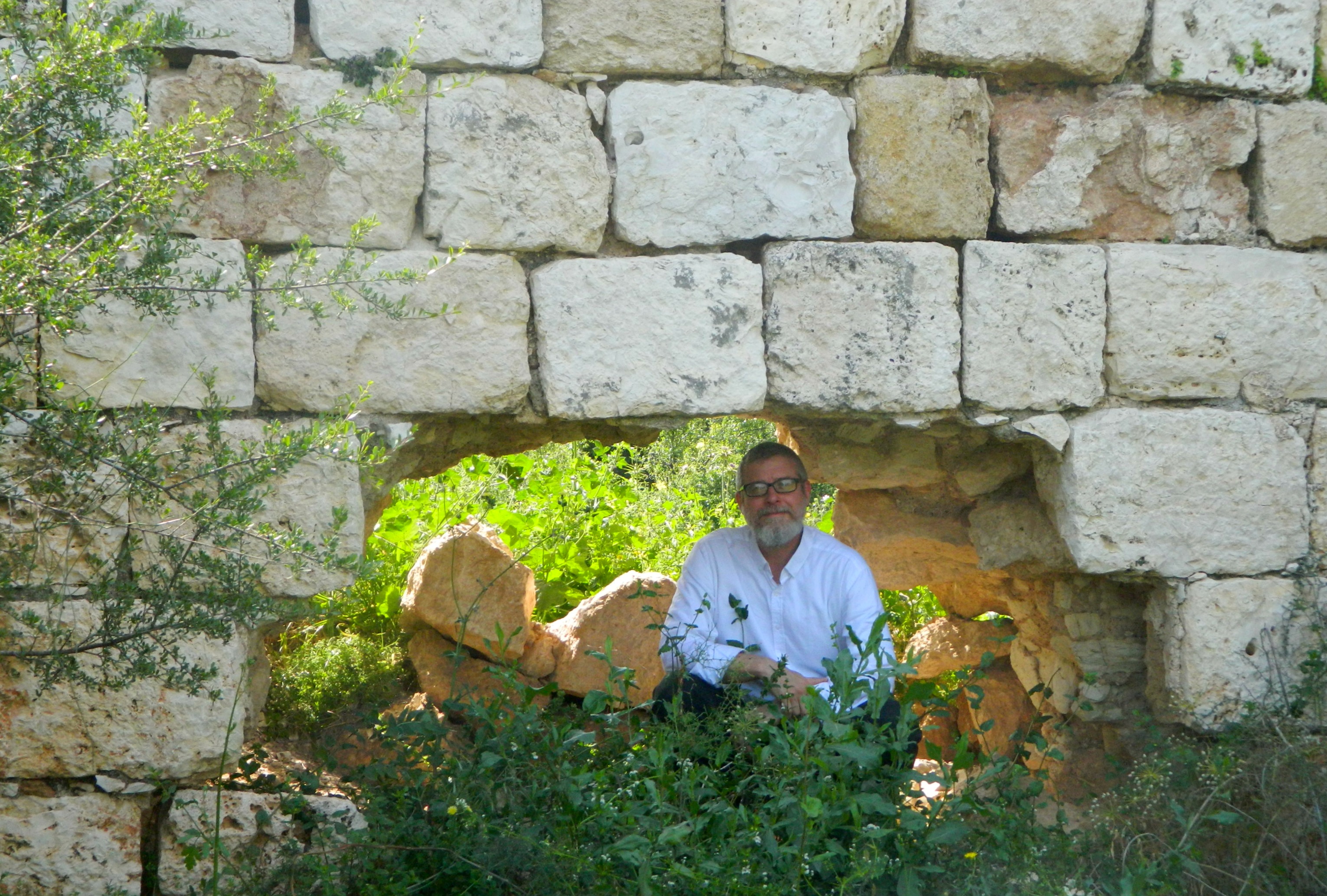
My father at the Manot ruins
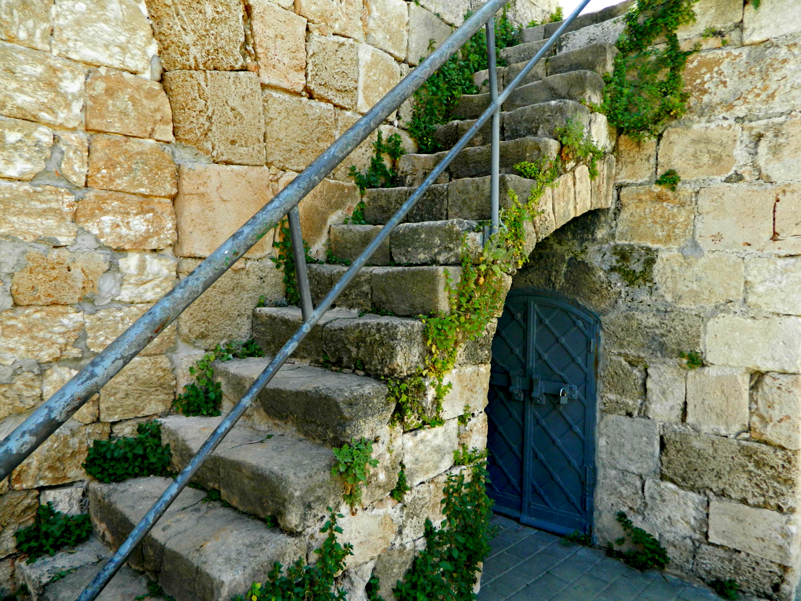
Getting back into the car, we drove through the town of Shlomi to reach Kibbutz Hanita, where we had two destinations. We enjoyed the winding route up the mountain and parked beside a wonderful children’s park with wooden play structures. The whole family took part in the fun and only after we accidentally ventured into the kibbutz’s dining room did we regain focus and find the Tower and Stockade Museum.

Tower and Stockade Museum
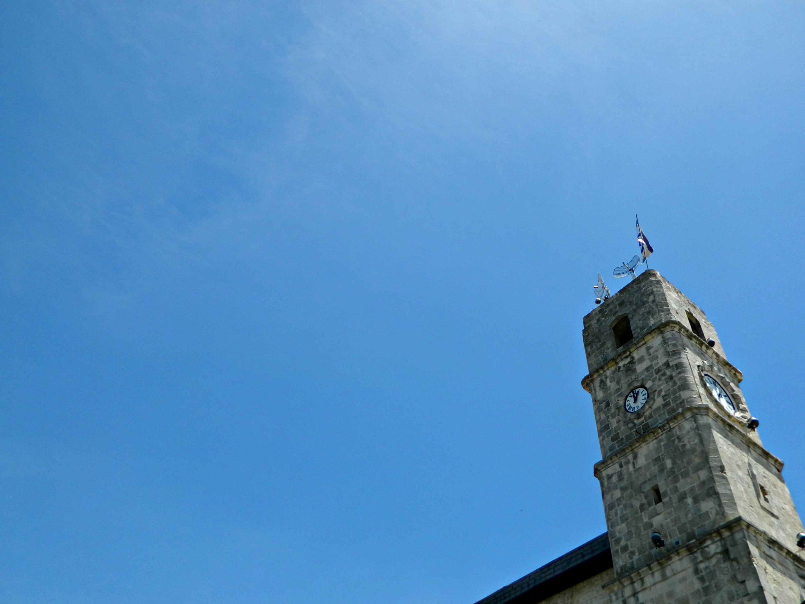
Housed in a stone building which was built on the remains of a Byzantine church, and had since served a variety of purposes, the museum chronicles the founding of Hanita and the pioneering concept of “tower and stockade”. During the Arab Revolt in the late 1930’s, the Jews developed a quickly constructed way to settle down in an area otherwise overrun with dangerous Arab raiding parties. And so, some fifty-seven “tower and stockade” settlements were created over a four-year period – including Shavei Tzion. Hanita was established in 1938 but at its time was a great feat, as the climb to Hanita was rather difficult and would leave them all unprotected. So the Lower Camp was created and at daybreak on March 21st, the huge procession began – protected by the Haganah and the “Notrim”. Clearly a success story, the museum displays numerous artefacts and photographs from the time, as well as some other curiosities such as a leopard skin illustrating the last known Arabian leopard in the region who was killed by a hunter in 1965 near the nearby Namer Caves. Being as though the museum was built within a historical building, it’s logical that there would be an archaeological wing as well. Most of the findings, including coins, weapons and plenty of mosaics, came from in and around Hanita including this impressive depiction of a wild boar:

Wild boar mosaic
Leaving Hanita, we stopped off at this replica of the tower and stockade that the kibbutz members once called home.
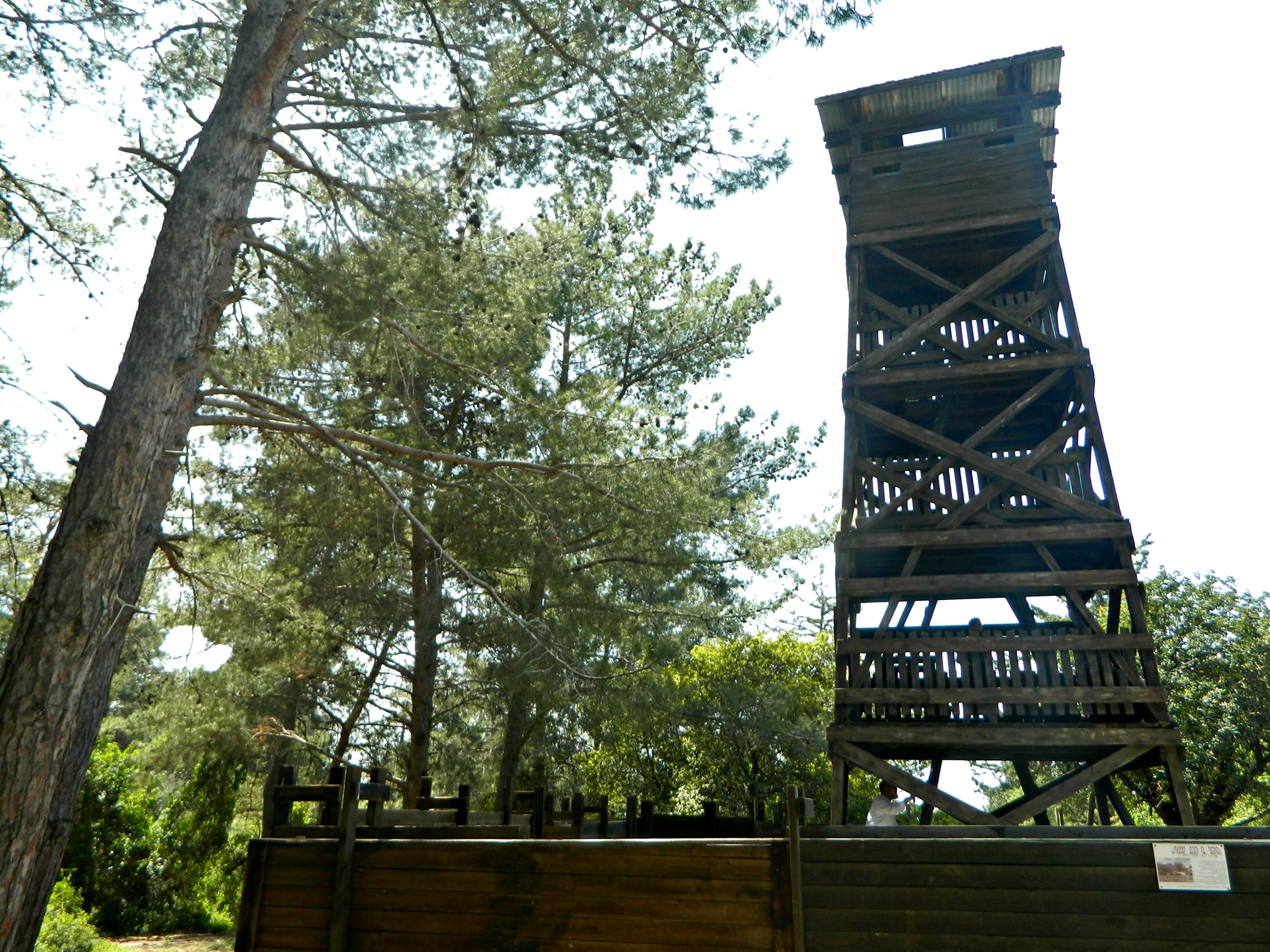
A tower and stockade
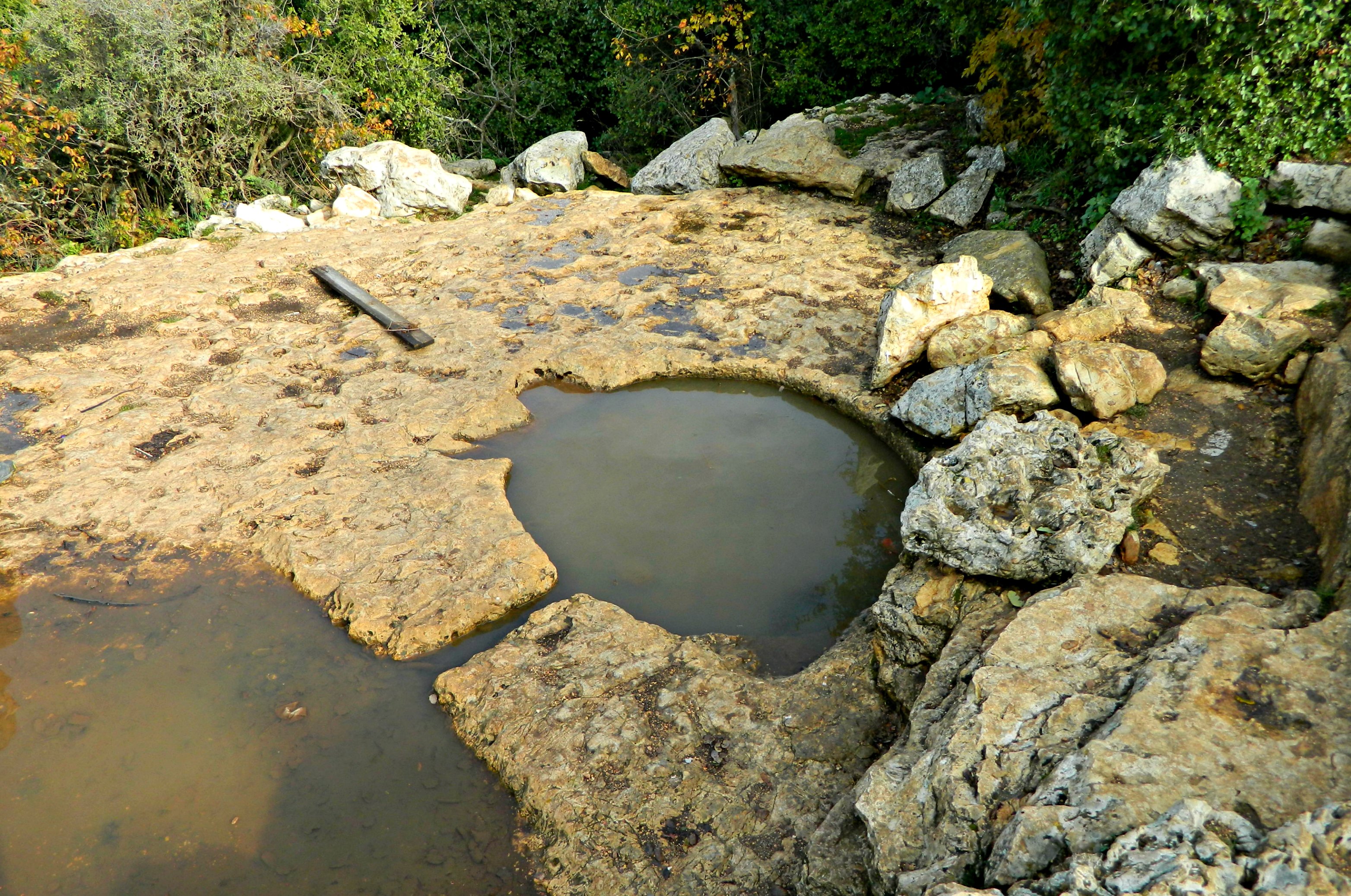
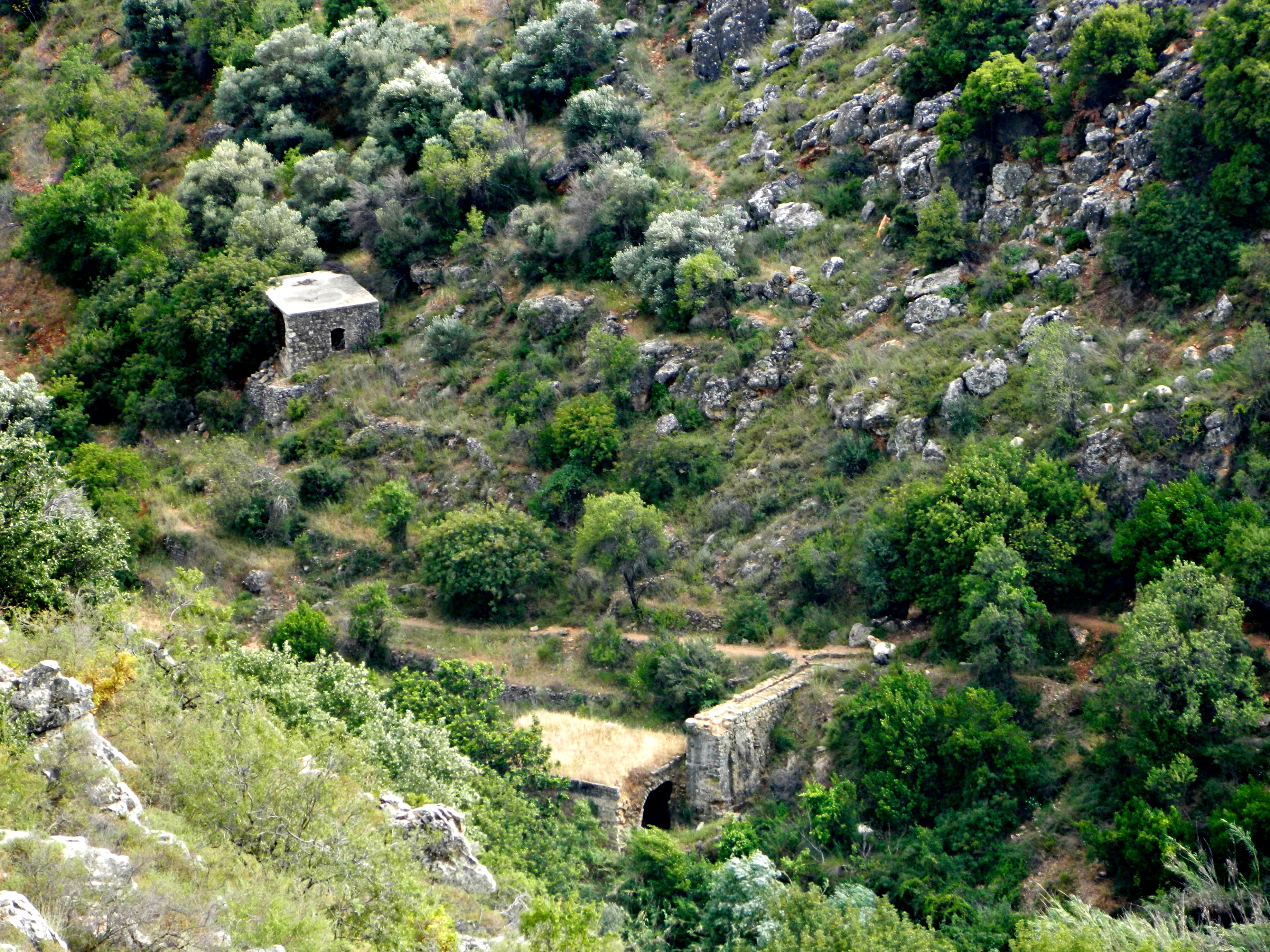
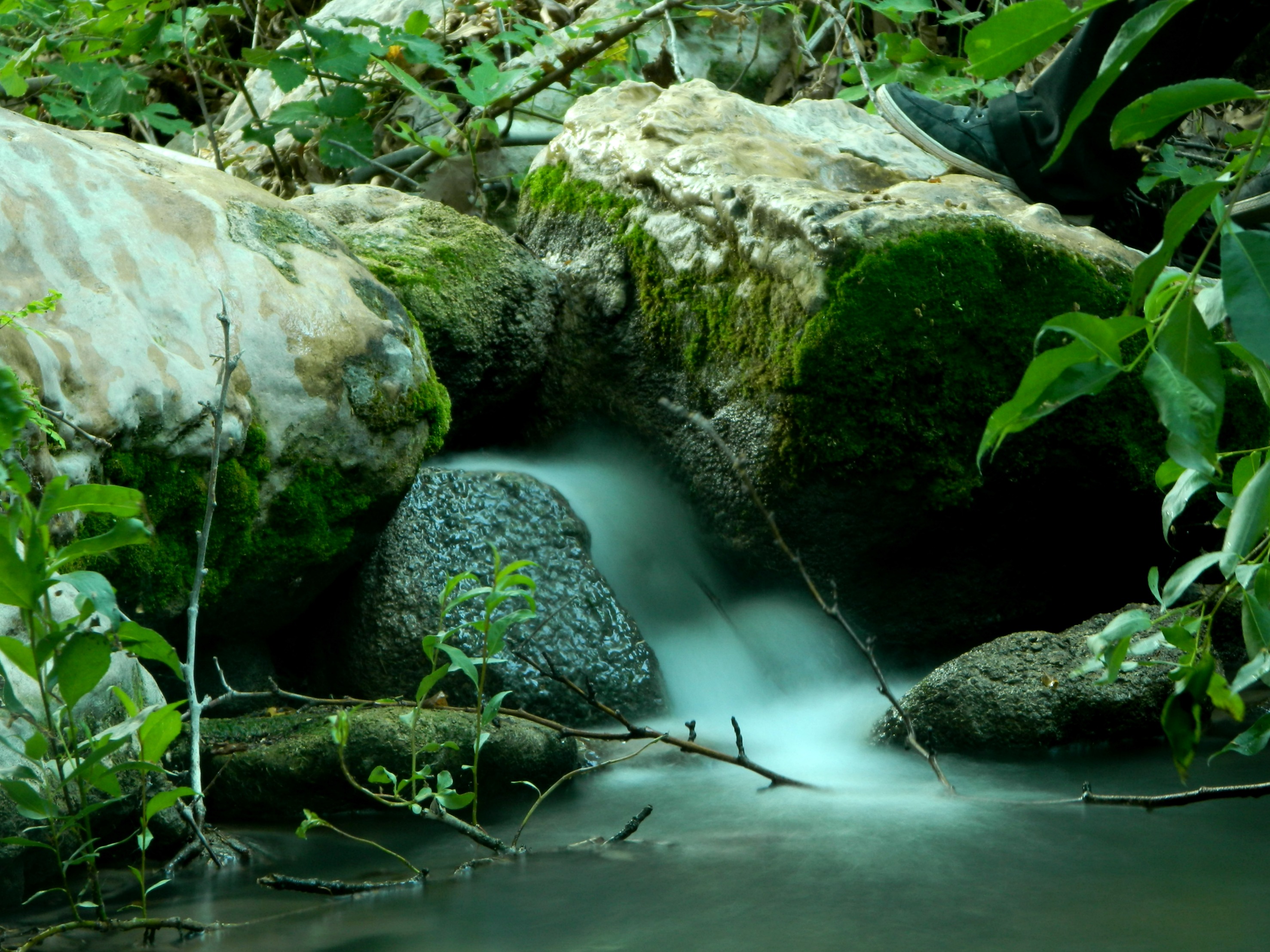
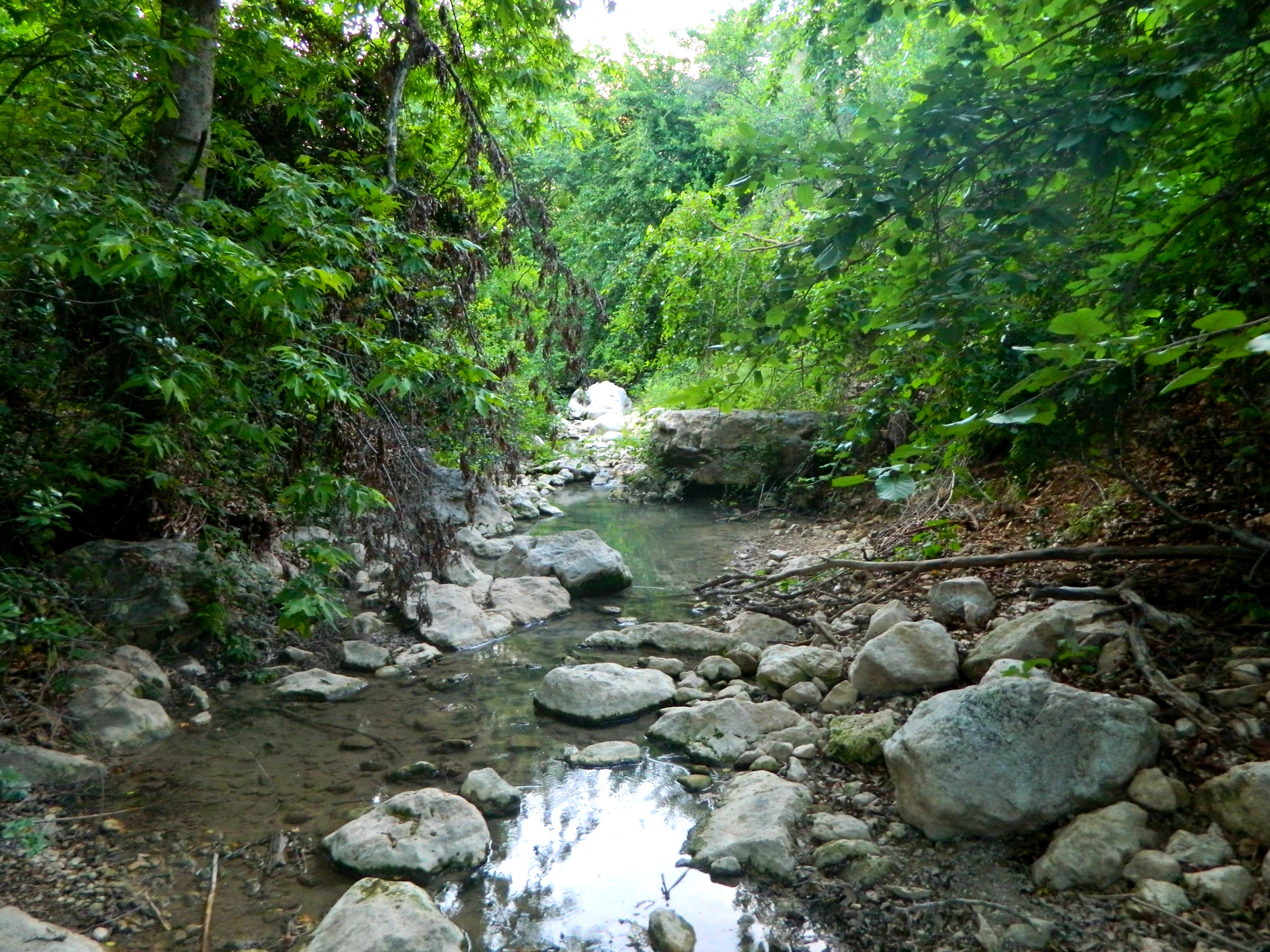
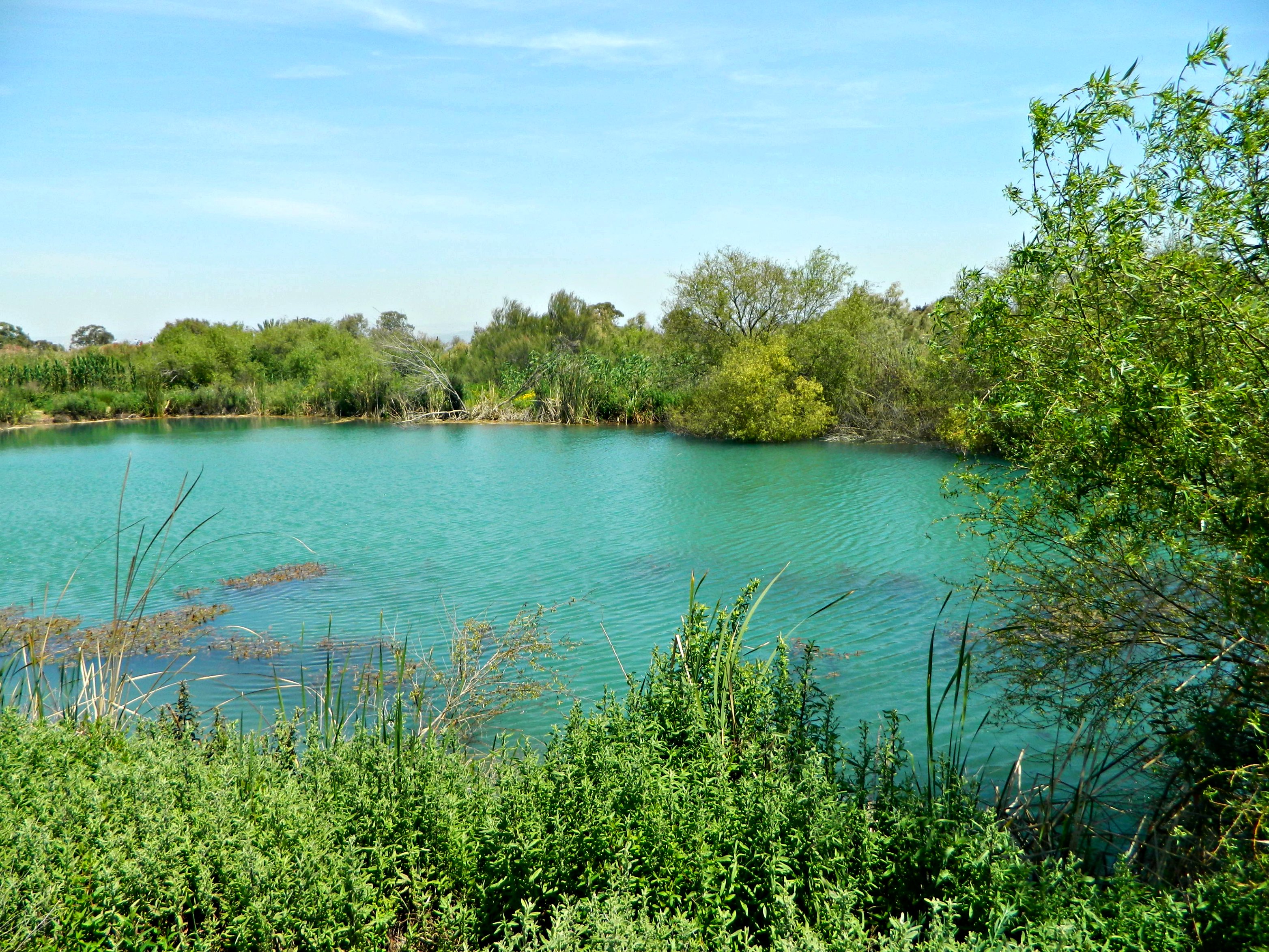
Now driving on the Old Northern Road, we turned into Goren Park for a nice view over Nachal Kziv and Montfort Castle as well as a place to picnic. We found a shaded spot beneath some pines and broom bushes and dined – sadly, the one thing we forgot was the corkscrew for the wine.
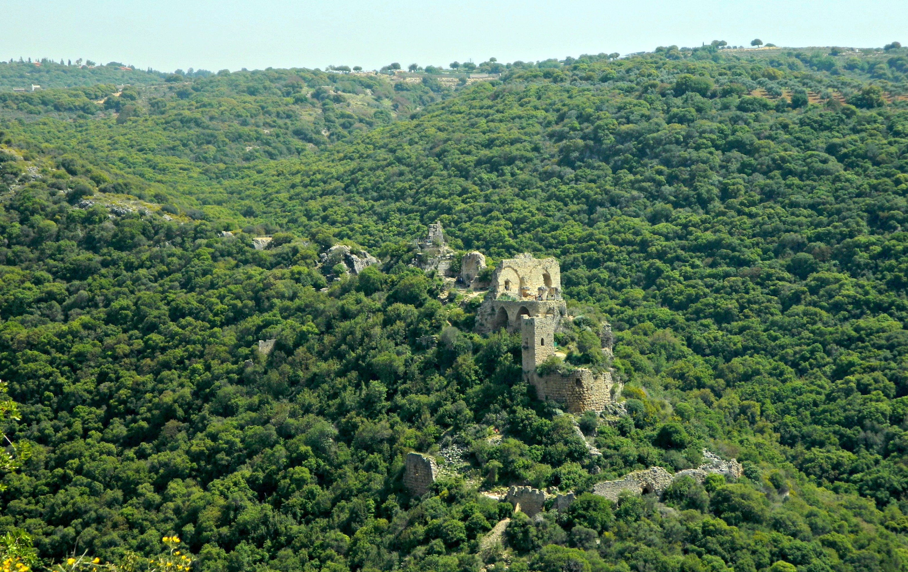
Montfort Castle
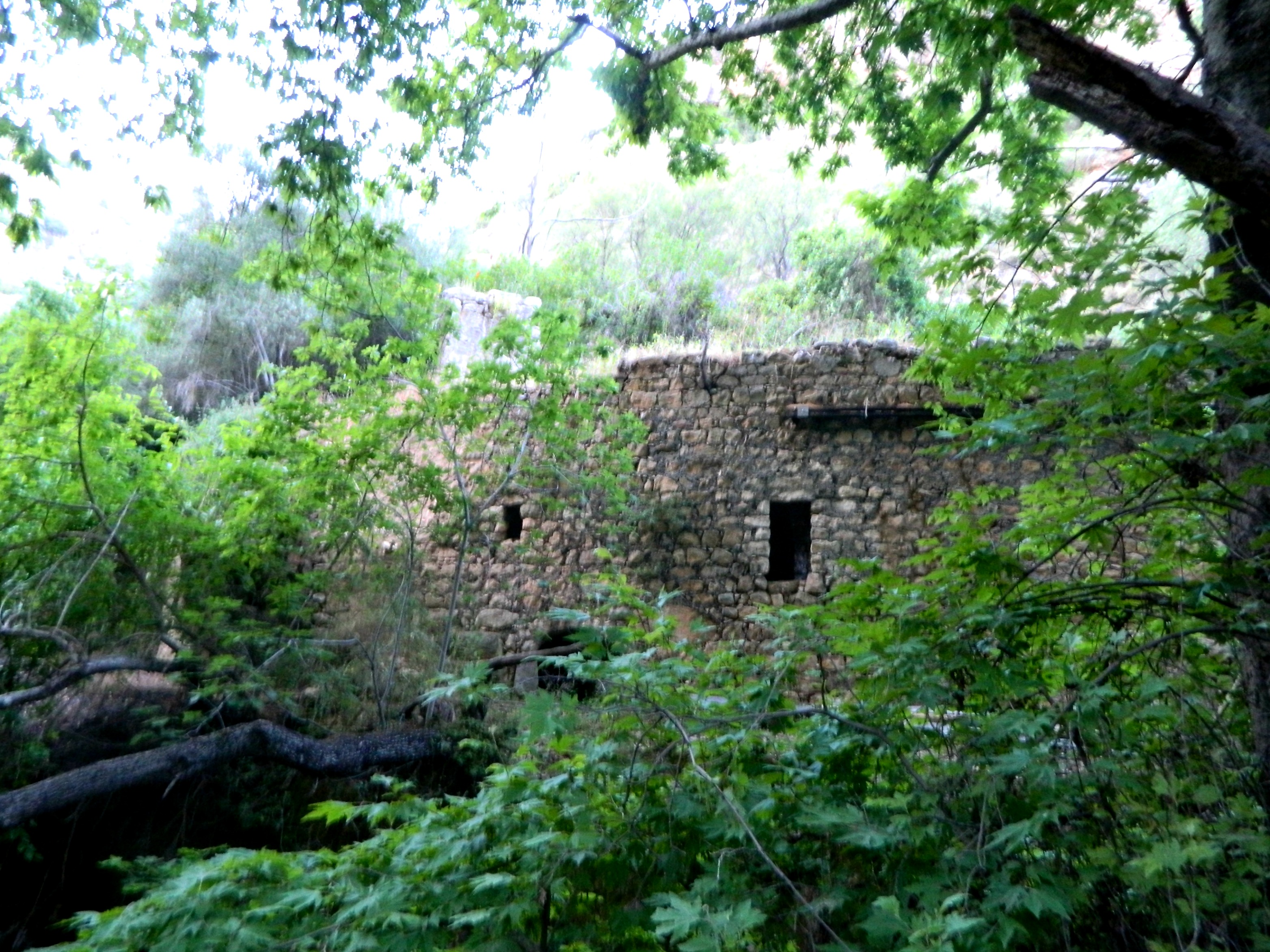
Taking the scenic park road back to the 899, we missed two ruins sites I had originally intended on visiting. Continuing, we then pulled over on the side of the road opposite Shomera for a little climb up a hill to see Iqrit. All that remains of an Arab village that once was is their church and cemetery.
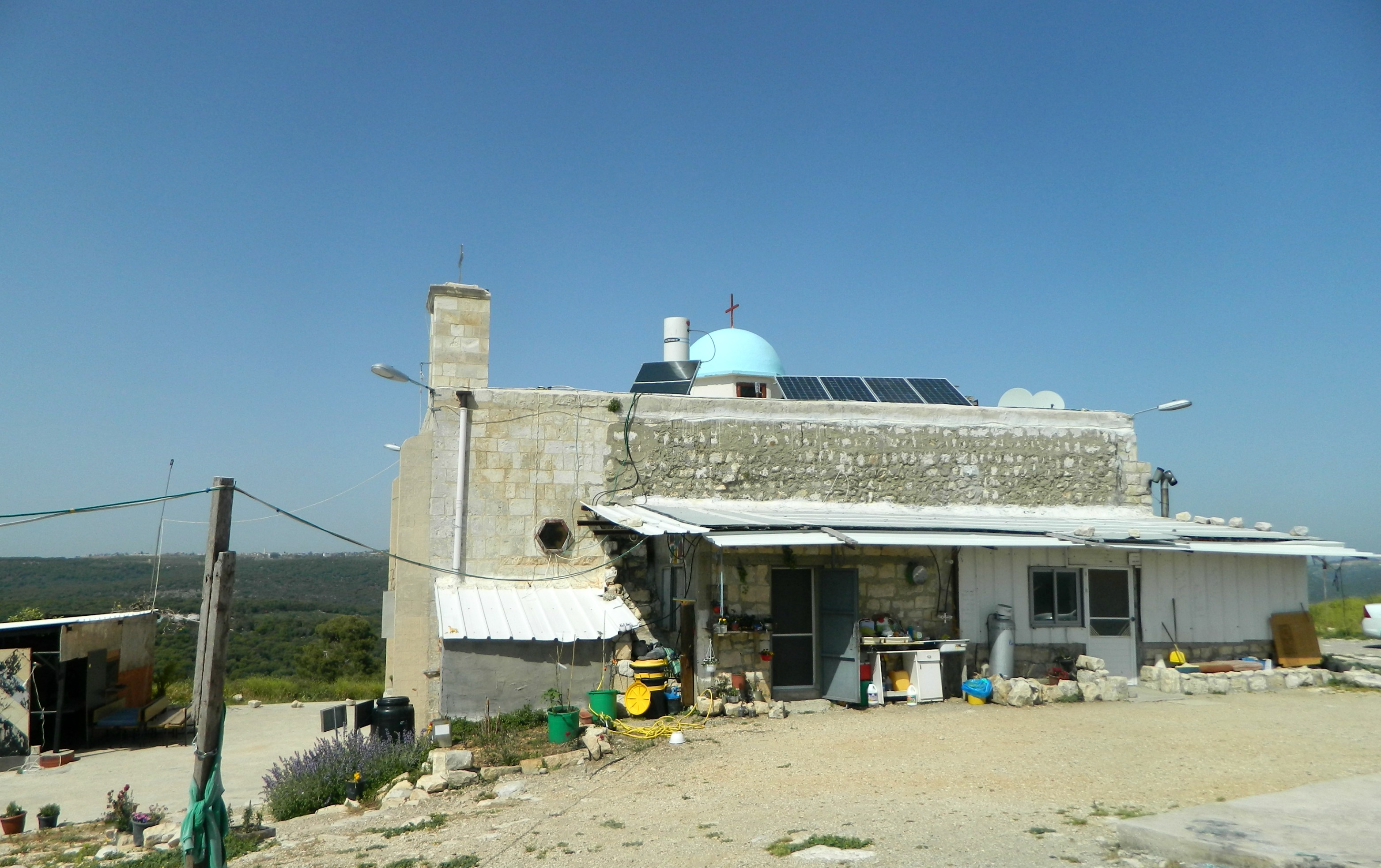
Iqrit church with house
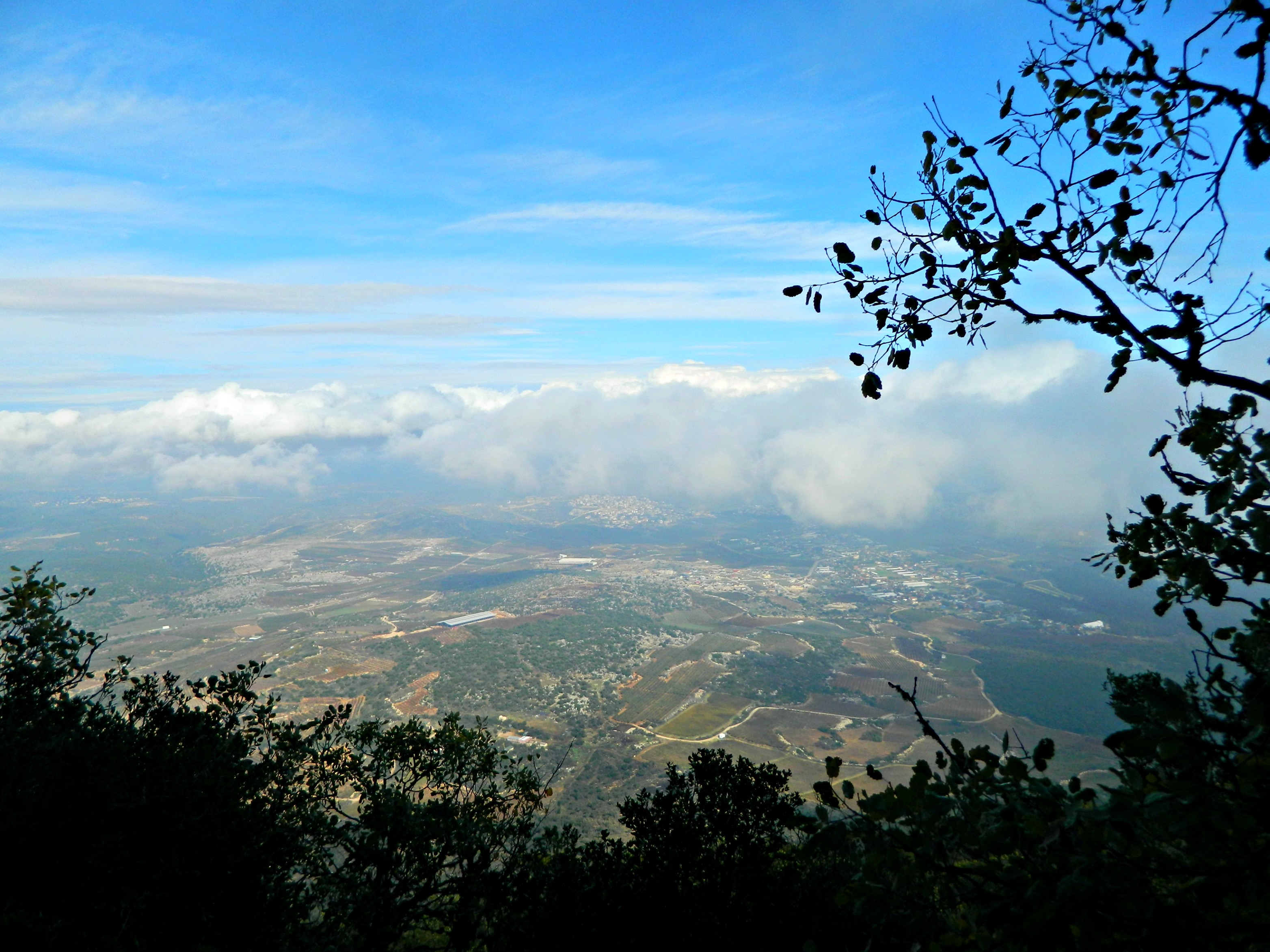
The locals, seated around a picnic table, expressed their great sorrow and frustration at having been relocated to other Arab cities and villages in Israel, with only a few left behind to care for the church, living in a lean-to house with outhouses in the back. All in all, interesting little operation they have going there. After the trot back down the hill we attempted to see the Tegart fort of Matat but we found it behind the fences of a military base, so we continued on. Our final stop was just to take photos from the top of Mount Adir, a gentle mountain reaching 1,008 metres above sea level. There is a short peak trail, but we stopped just shy of the military base and looked down at Druze village of Hurfeish.

View from Mount Adir
With that, we drove back to the 899 and then headed home leaving the Sasa-Koch stretch of the Old Northern Road for a later date.


