Yesterday we took a little trip down Road 89 to the old Crusader castle, the Yehiam Fortress, for a 2-day Renaissance Festival. Just 15-km from our house, and 10-km from the nearby Montfort Castle, this area of the Galilee was the home base in the Holy Land for Crusaders in the 12th and 13th centuries.

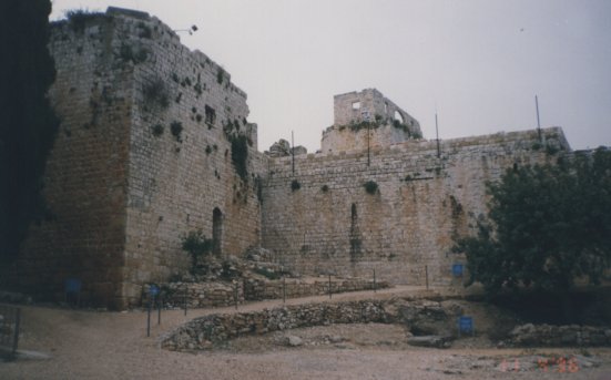
The Yehiam Fortress
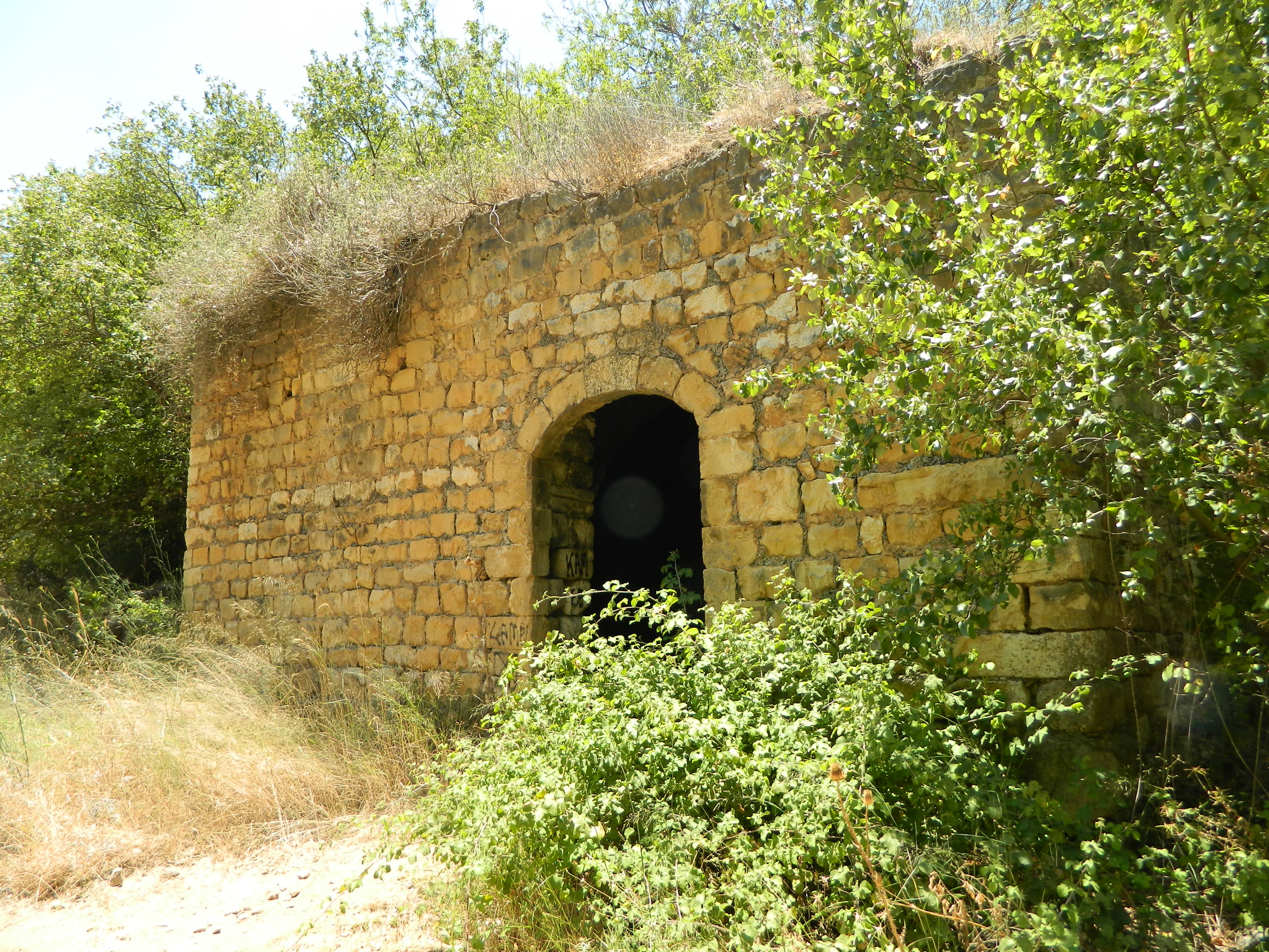
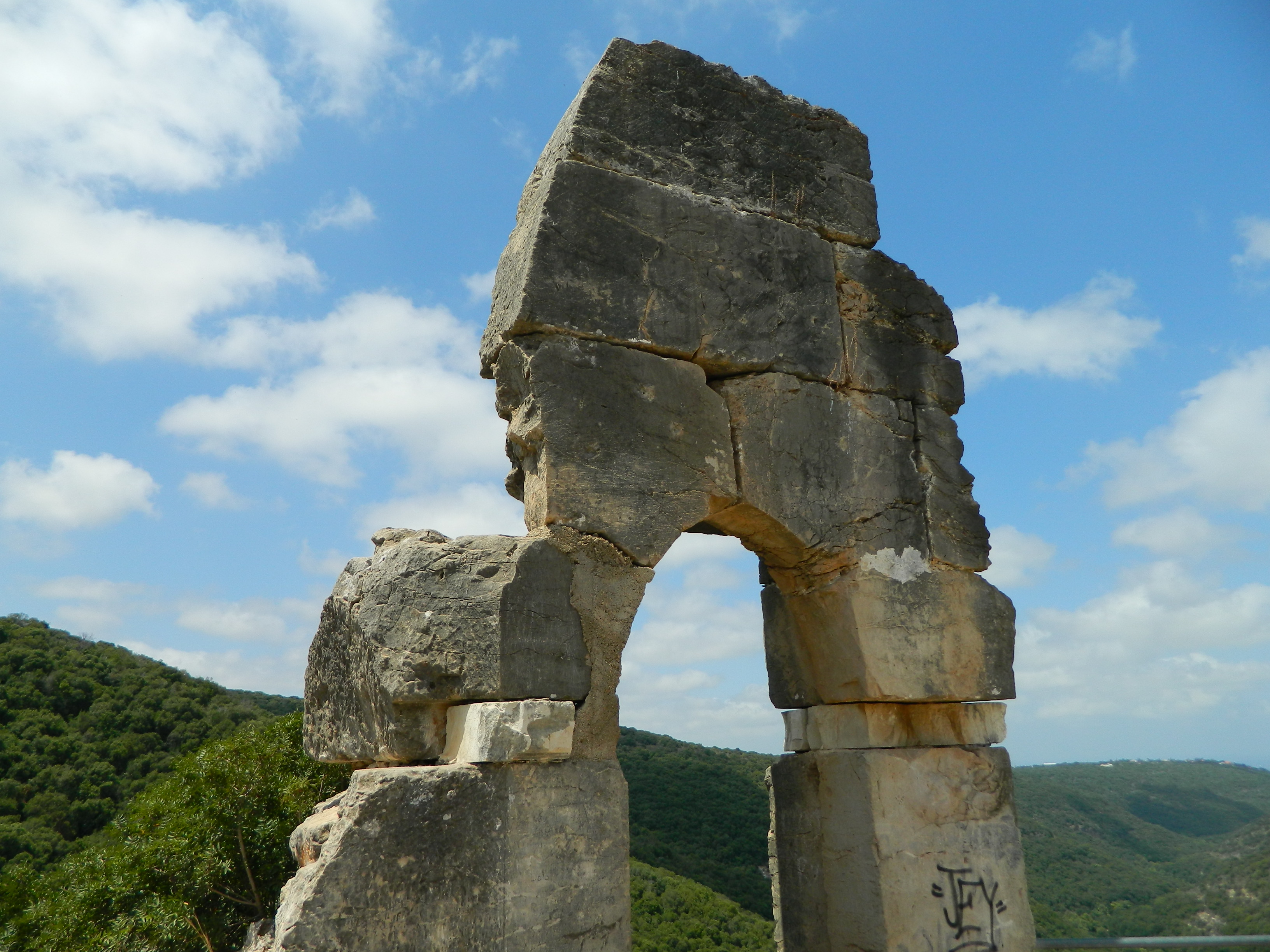
Built sometime after 1220 by the Teutonic Knights, the fortress was then called Judyn (and then after its destruction, the local Arabs called it Khirbat Jiddin – or “Ruins of Judyn”). Today we call it the Yehiam Fortress and it was at this magnificent ruin that the Renaissance Festival was hosted.
Renaissance Festival logo
Now, despite the fact that I grew up in Detroit and the Michigan Renaissance Festival was a pretty big annual event, this was my first time attending a “RenFest.” This event, in Yehiam, ended up being more of a crafts fair set in and around a Crusader fortress with a sprinkling of Renaissance flavour added for good measure. I’m sure that if they hosted it next year at Yehiam, but under expensive American production, it would be far more epic than anything you’d see in the USA.

Metal silhouette against fortress wall
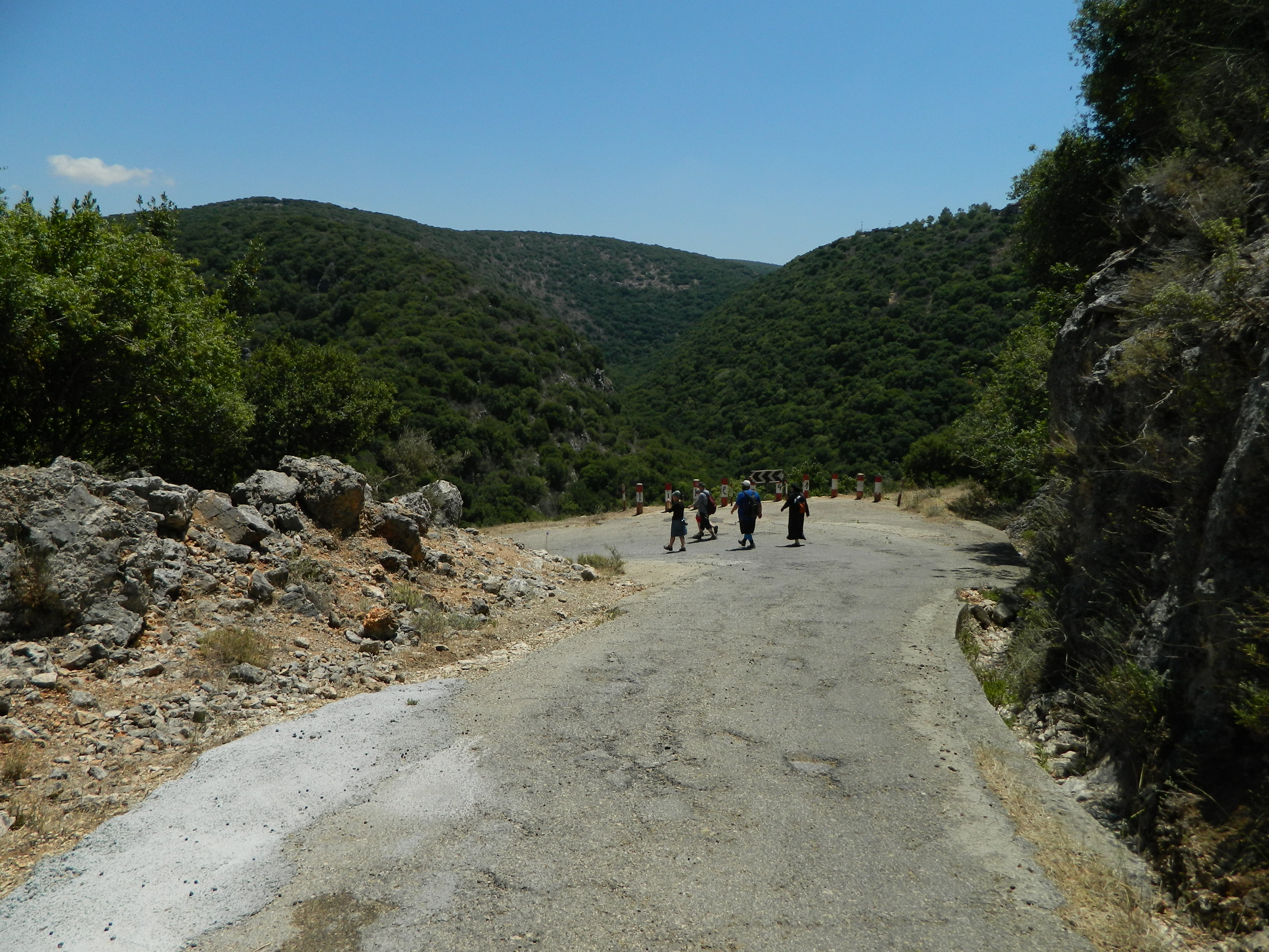
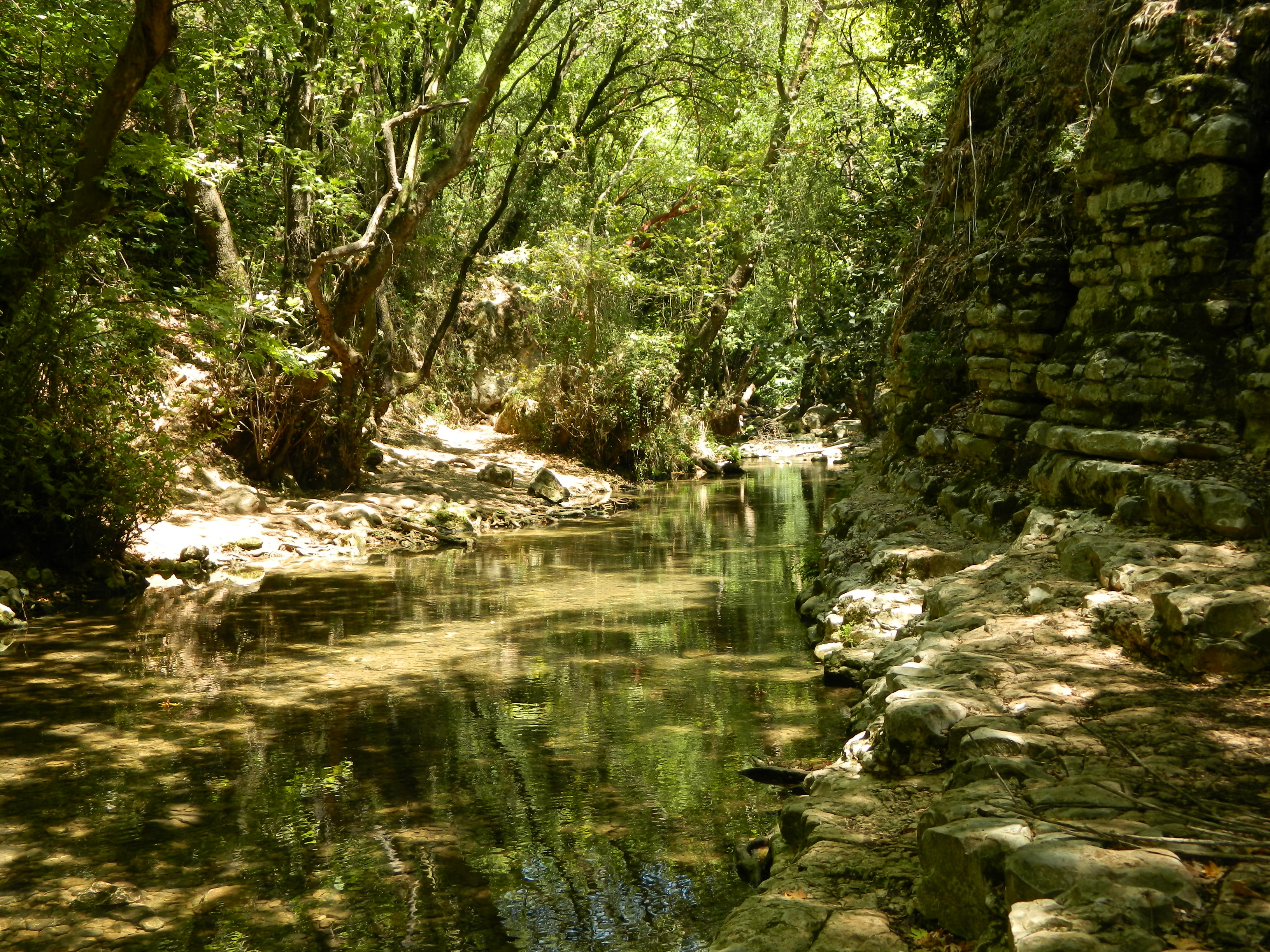
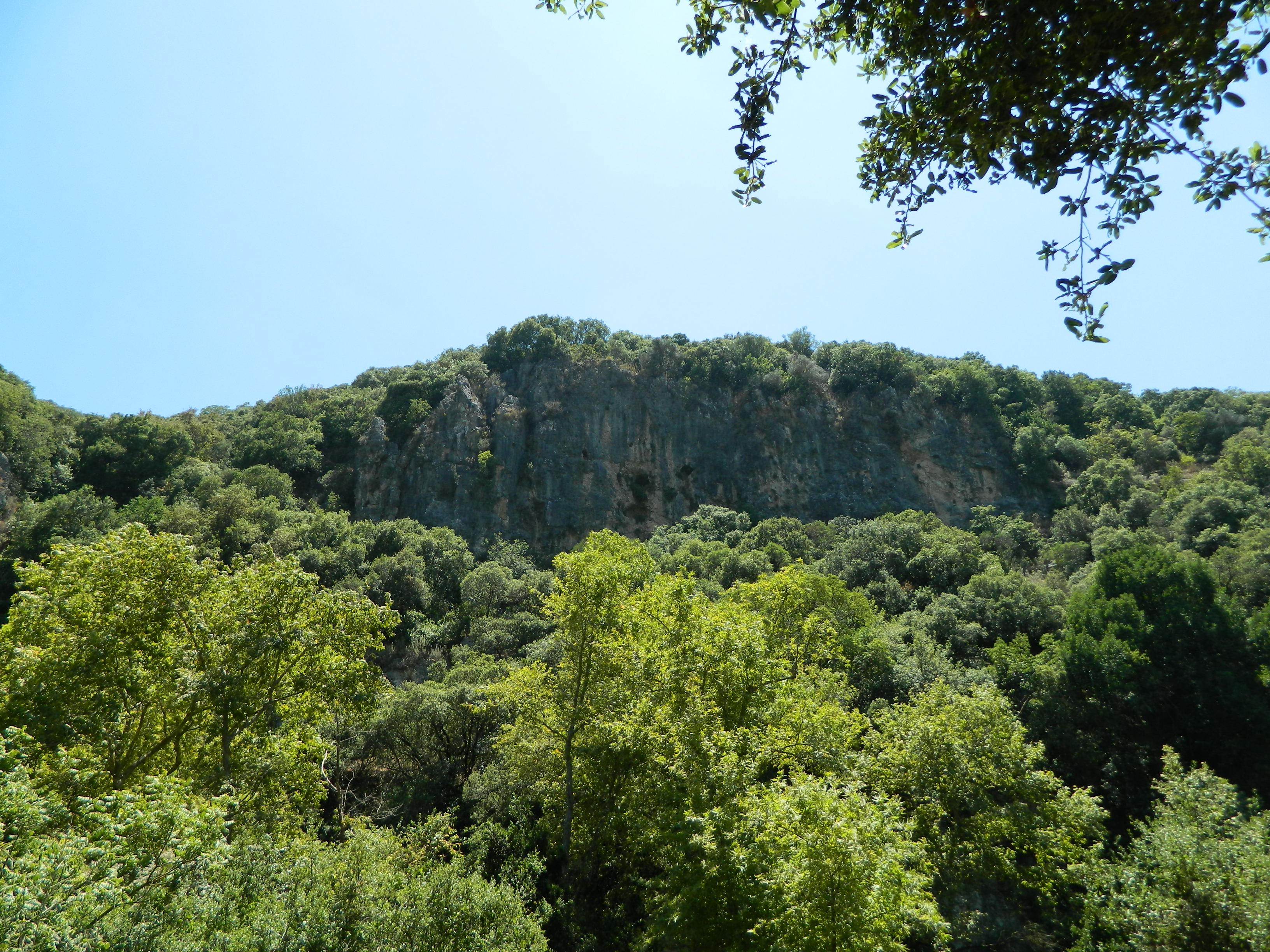
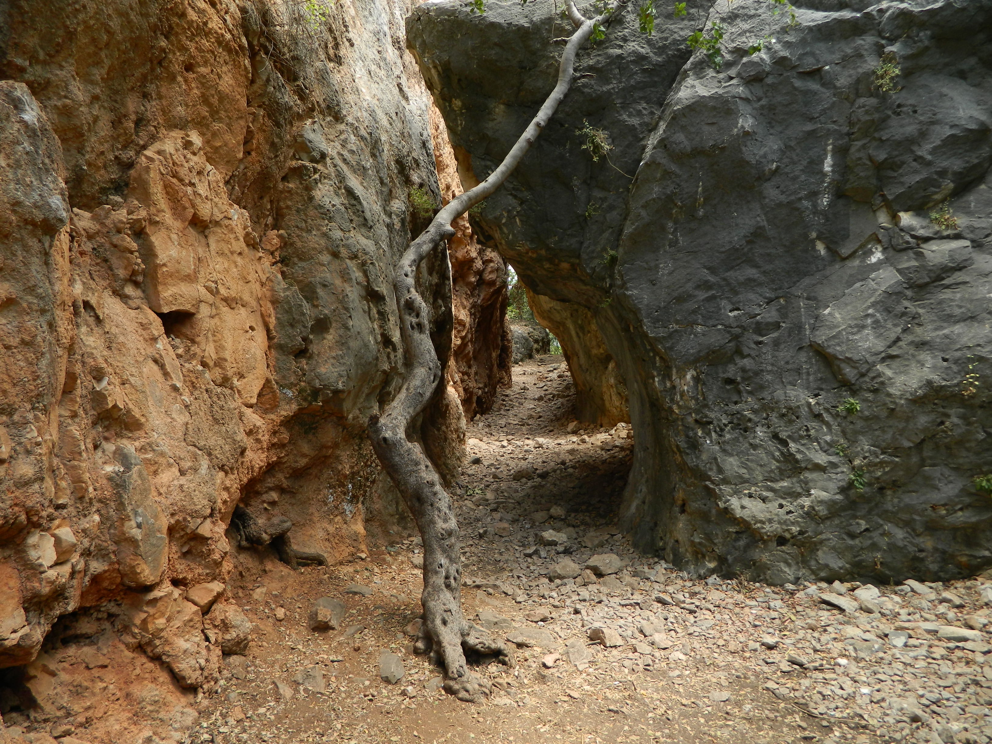
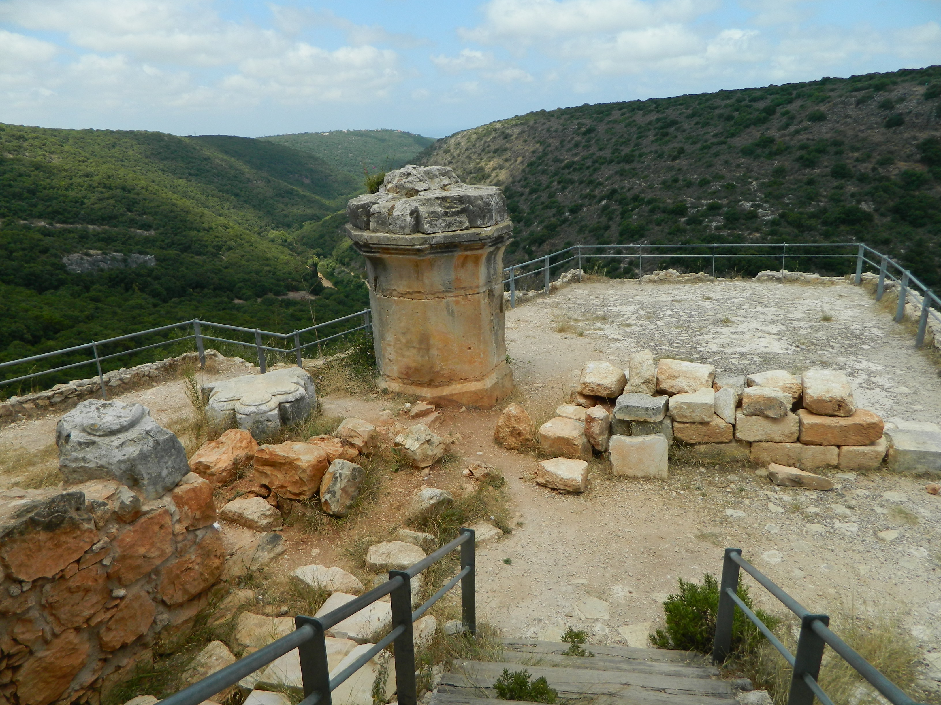
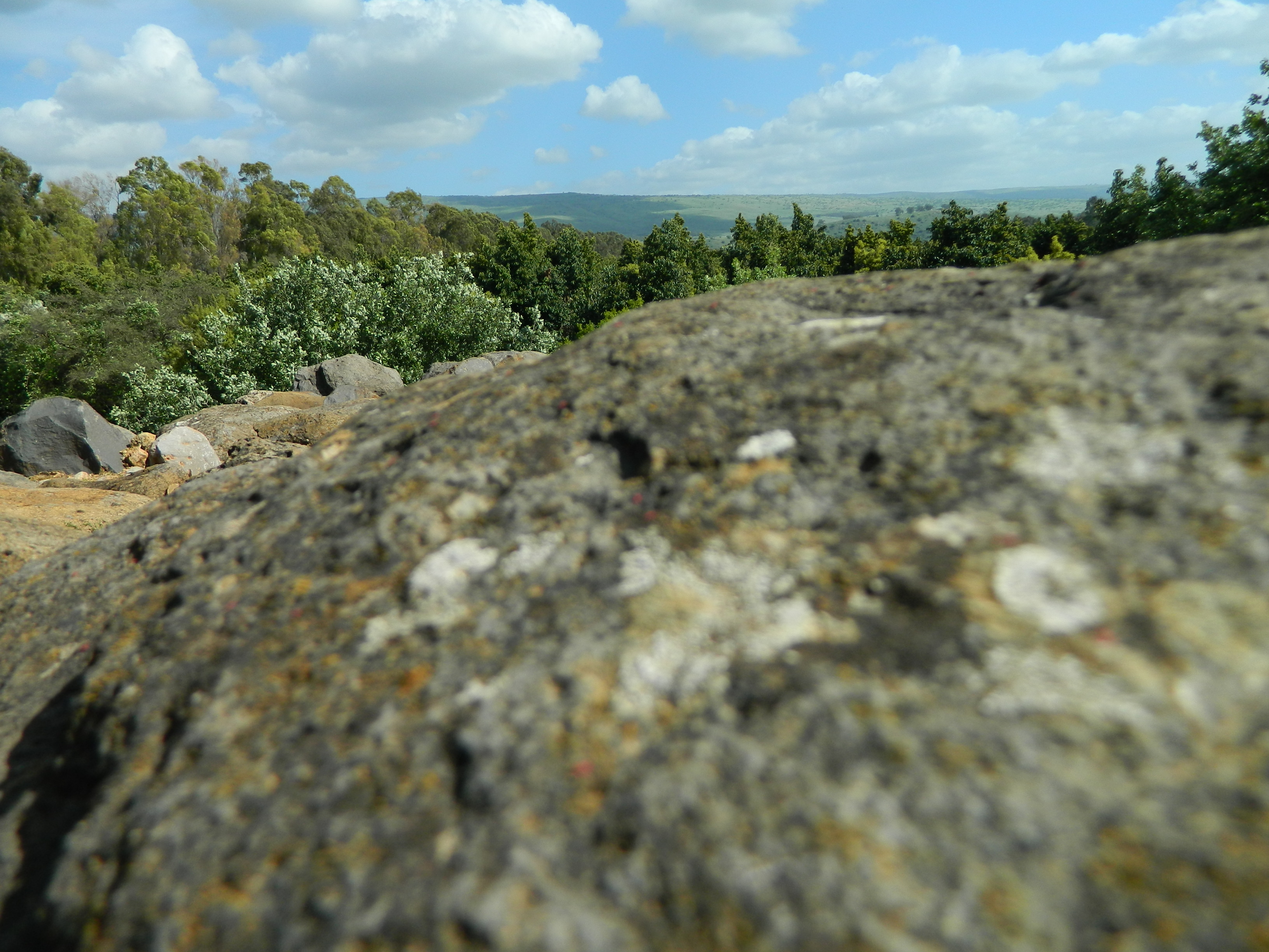
First, after parking the car under the watchful gaze of the fortress, we saw a trail heading to the Yehiam Stream. We turned, followed the trail for a few feet and were greeted with a lovely view overlooking the valley of the Yehiam Stream. There was a little stone wall protecting us from the dangers of the abyss but some like to take a ride on the wild side:

Living dangerously
So, after that little detour, we entered the park and meandered through the fortress grounds, passing tables of crafts and various themed products for sale (wooden sculptures, carved toys and musical instruments, edibles, etc). There were also costumed individuals performing on-stage and on the paths. One such performer, a man dressed in a red gown, told me that my unruly beard made me look like a “vilde chaya” (“wild animal” in Yiddish, his words). That was a bit odd but I explained that I was on break from the army and thought it would be fun not to worry about hair length for a few days…
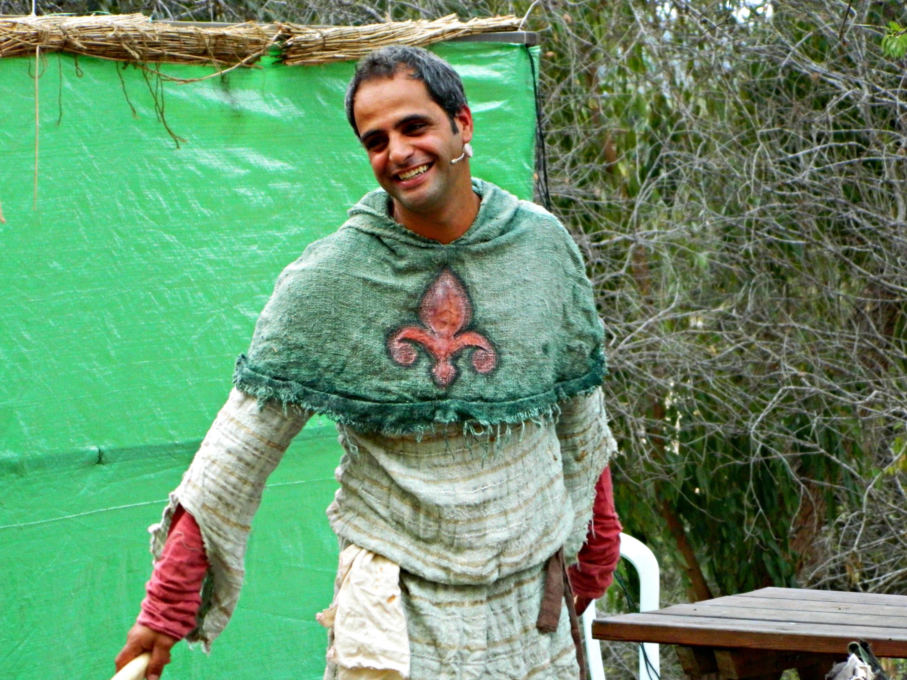
Stage performer
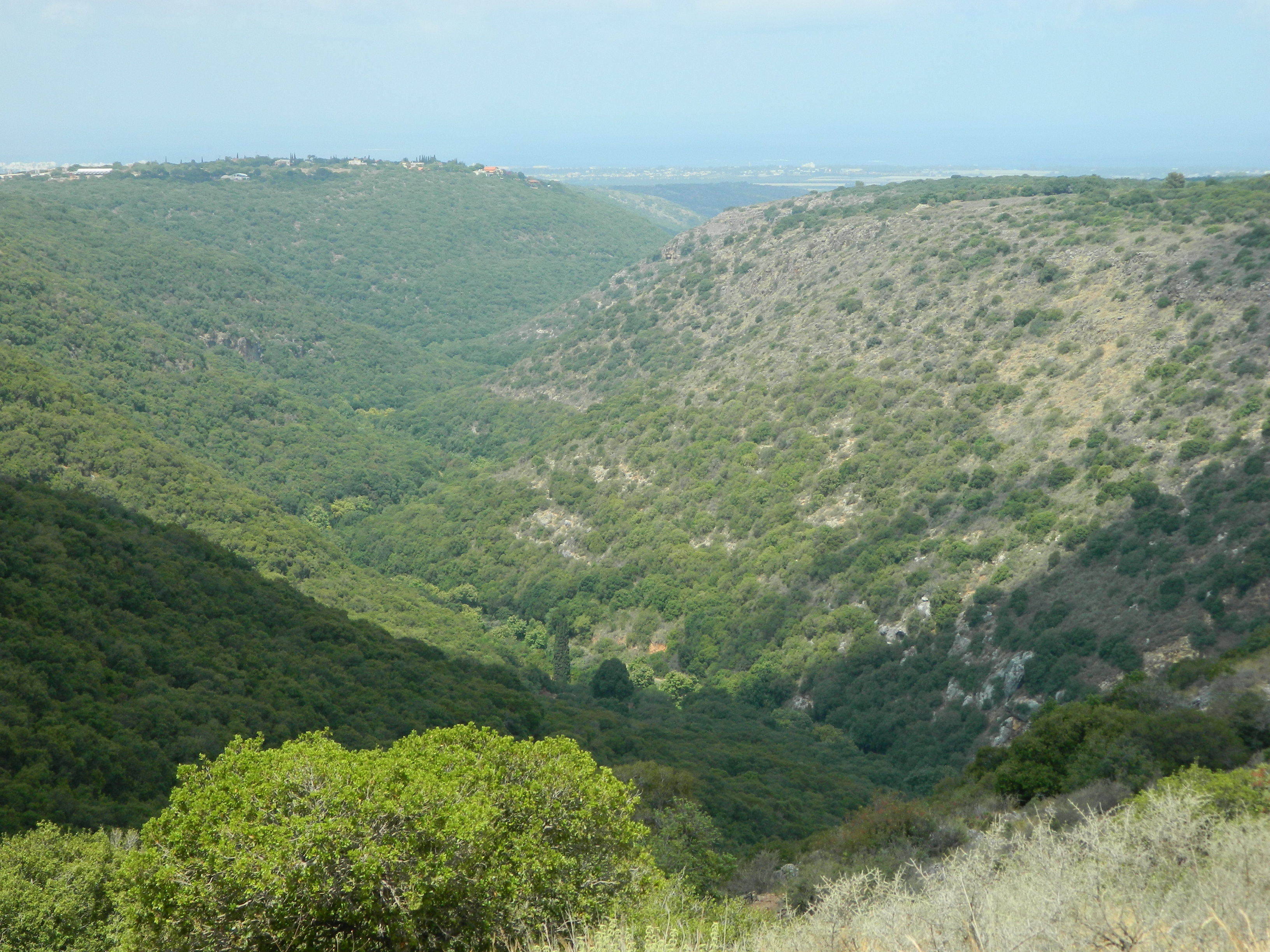
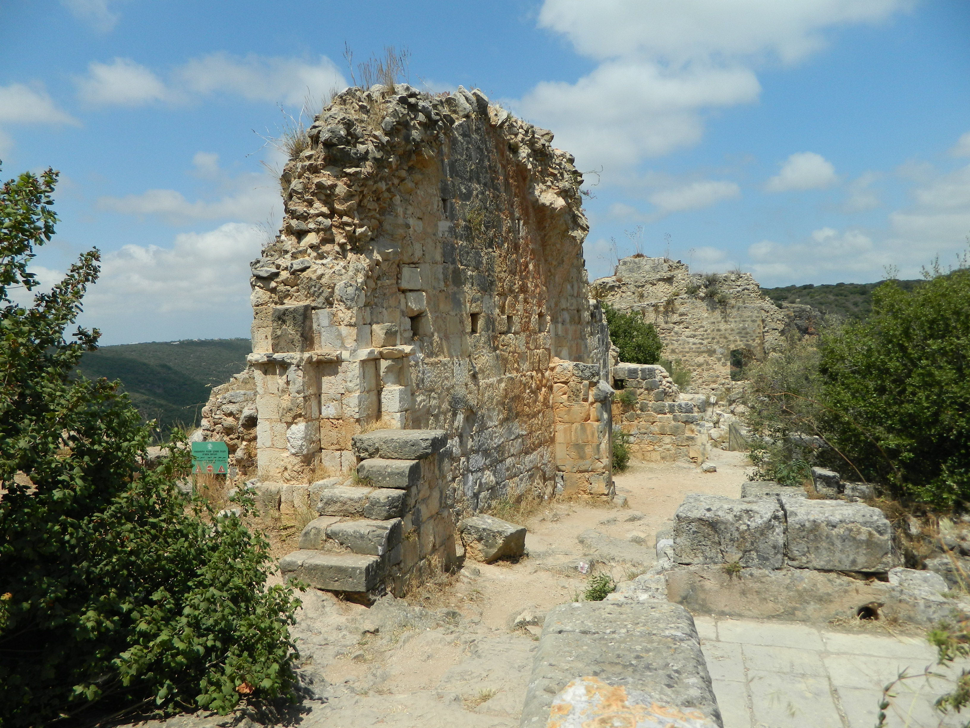
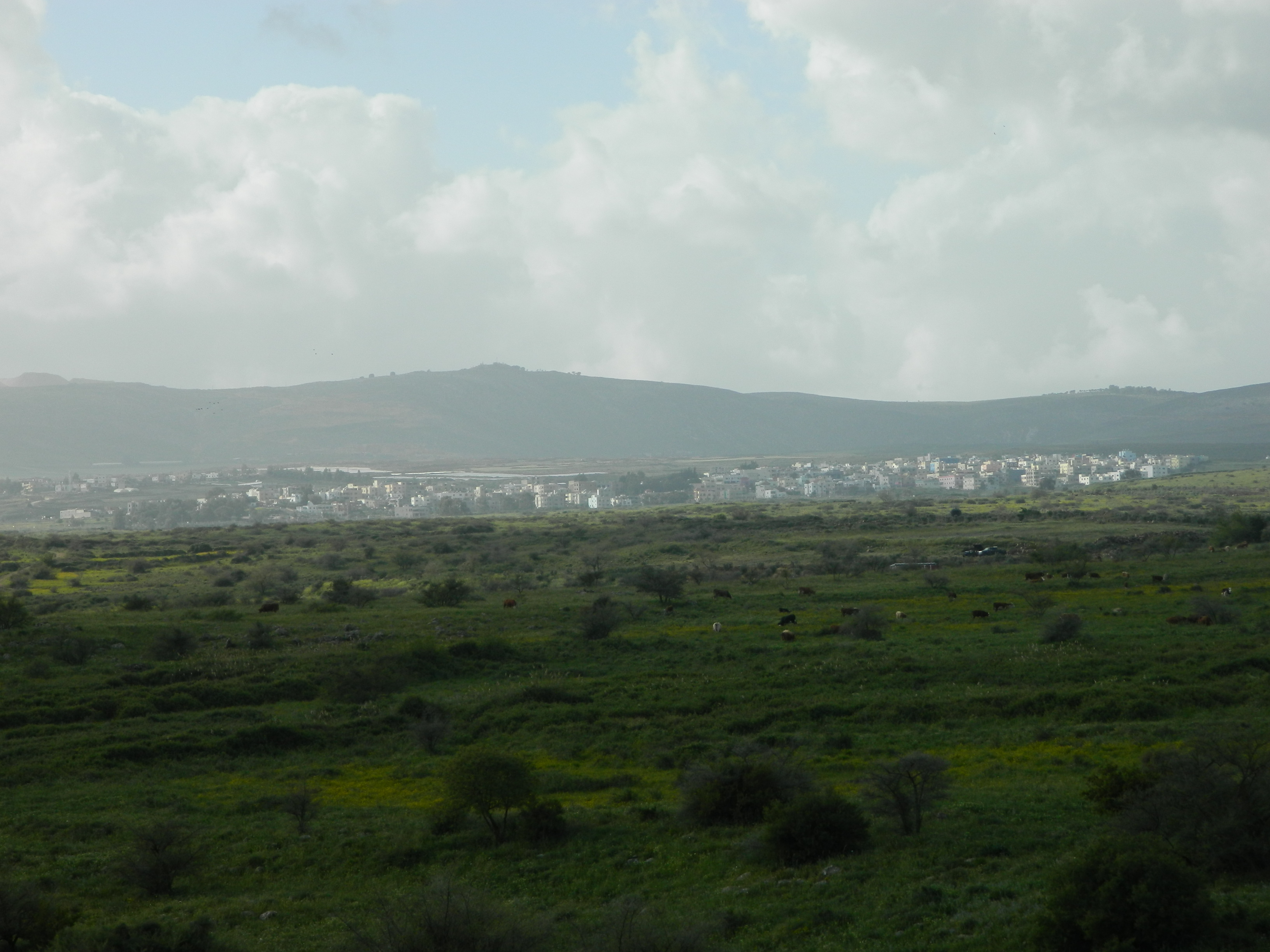
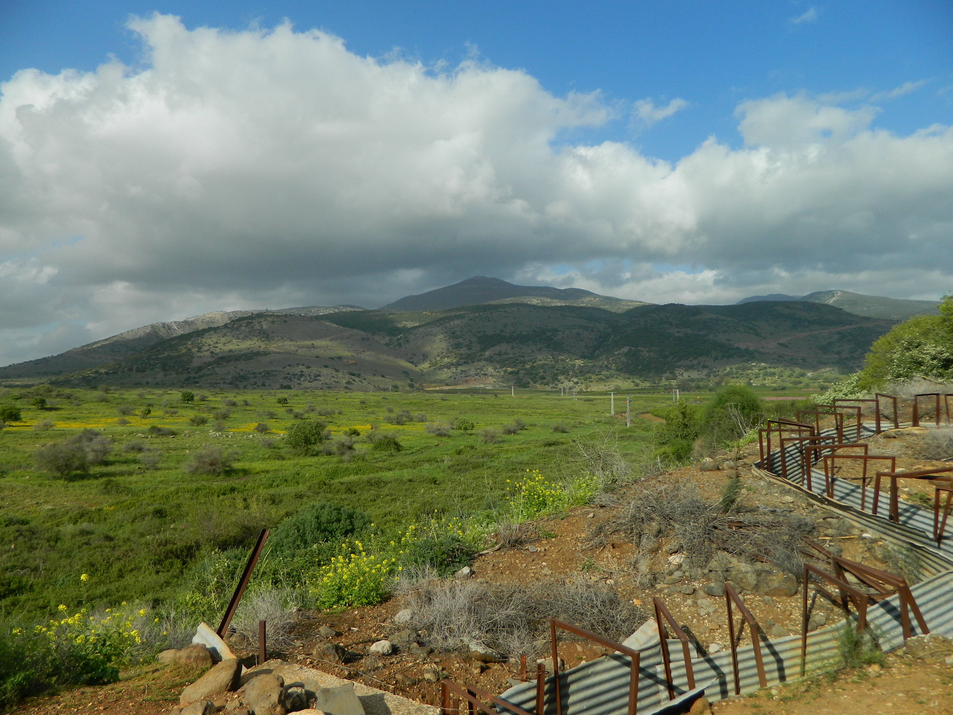
We headed on inside the fortress and saw the end of a musical performance by three musicians and a voice actor, which was actually the main featured concert of the day. The name of the performance can be translated to “The Wonderful Journey to Greek Mythology with Accompaniment of Greek Musical Sounds.” Set on a breezy terrace overlooking the grounds of the fortress, the Yehiam Stream below and the Mediterranean Sea over the gentle green hills.

A glimpse of the grounds
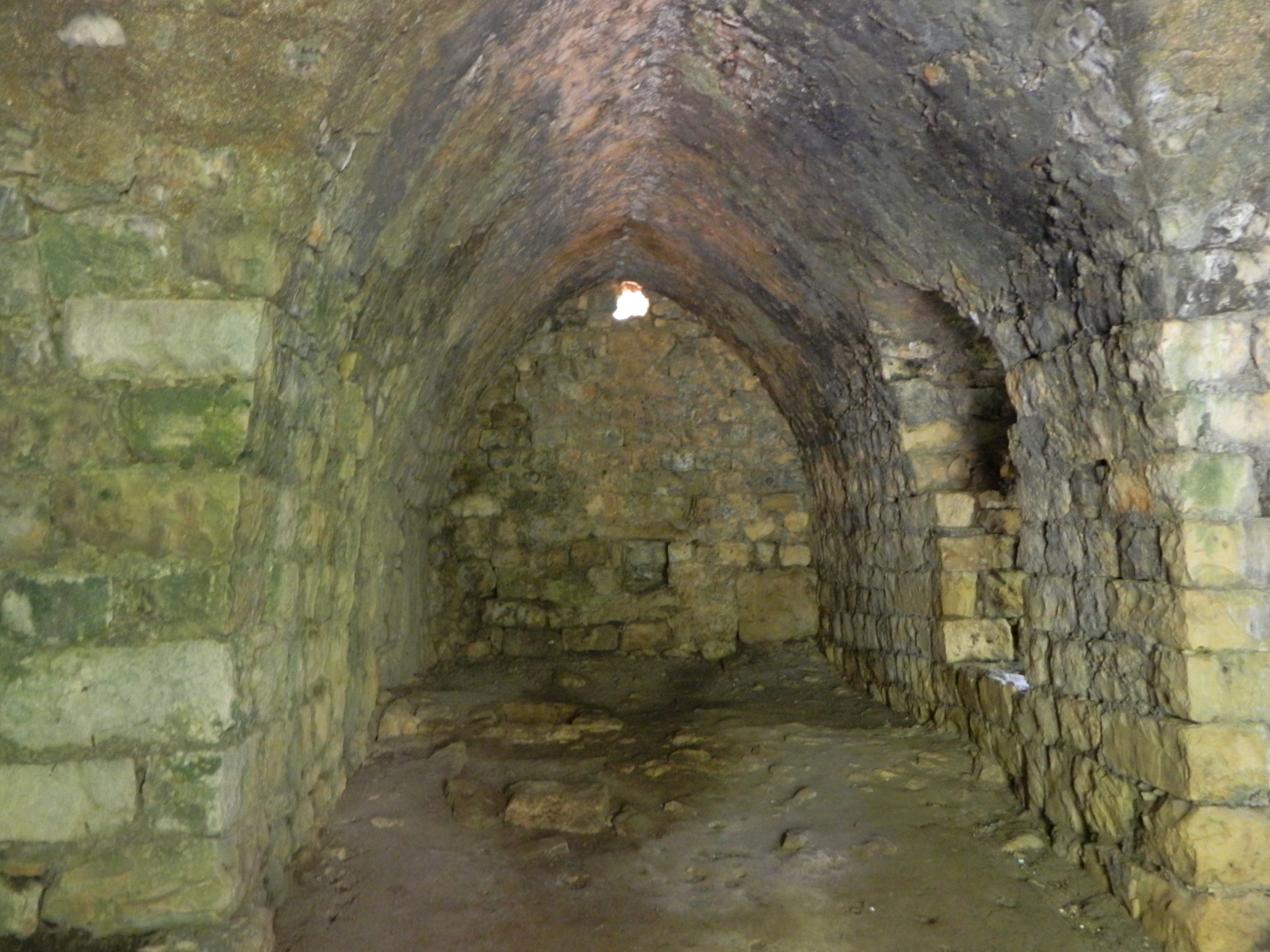
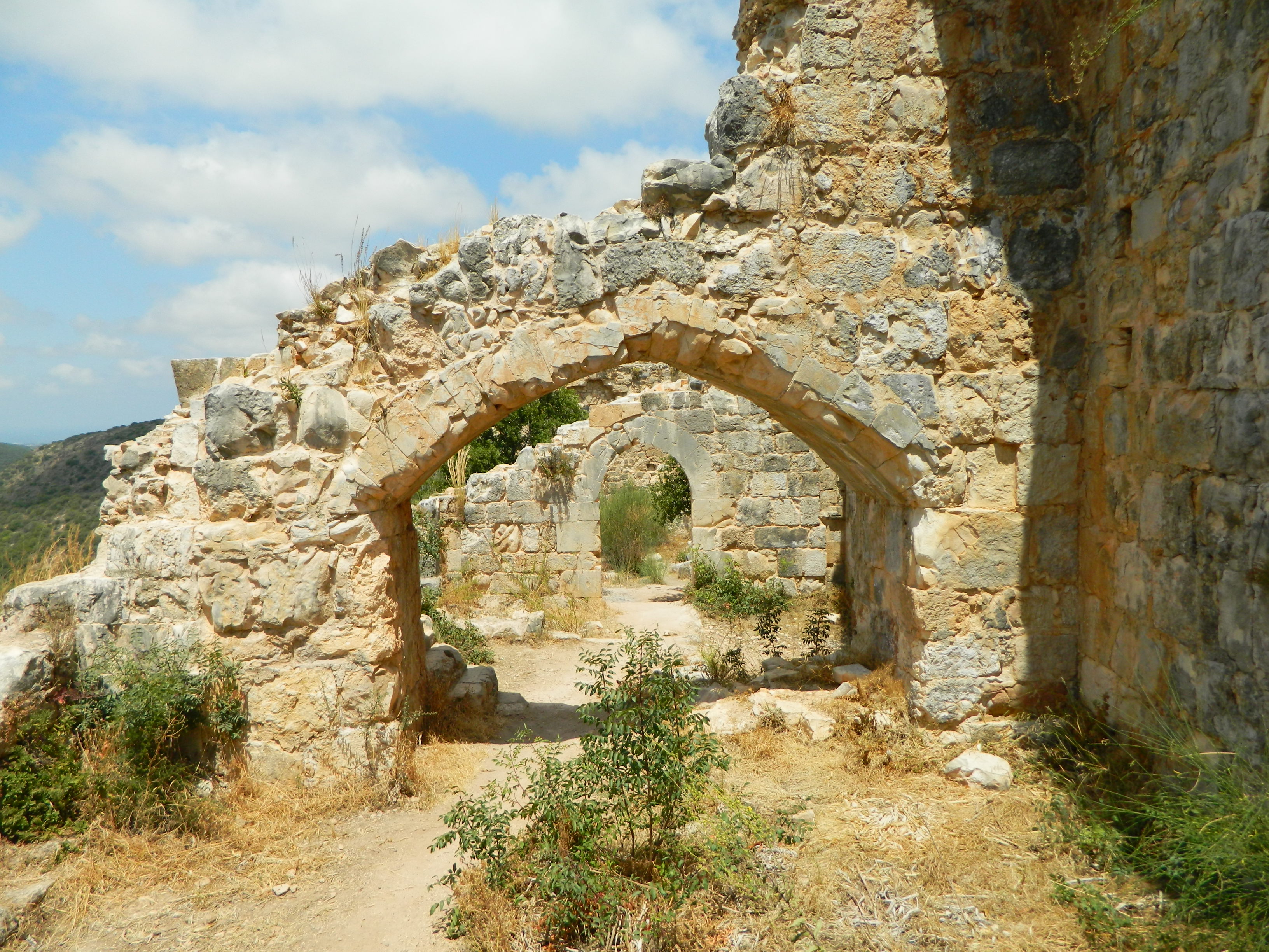
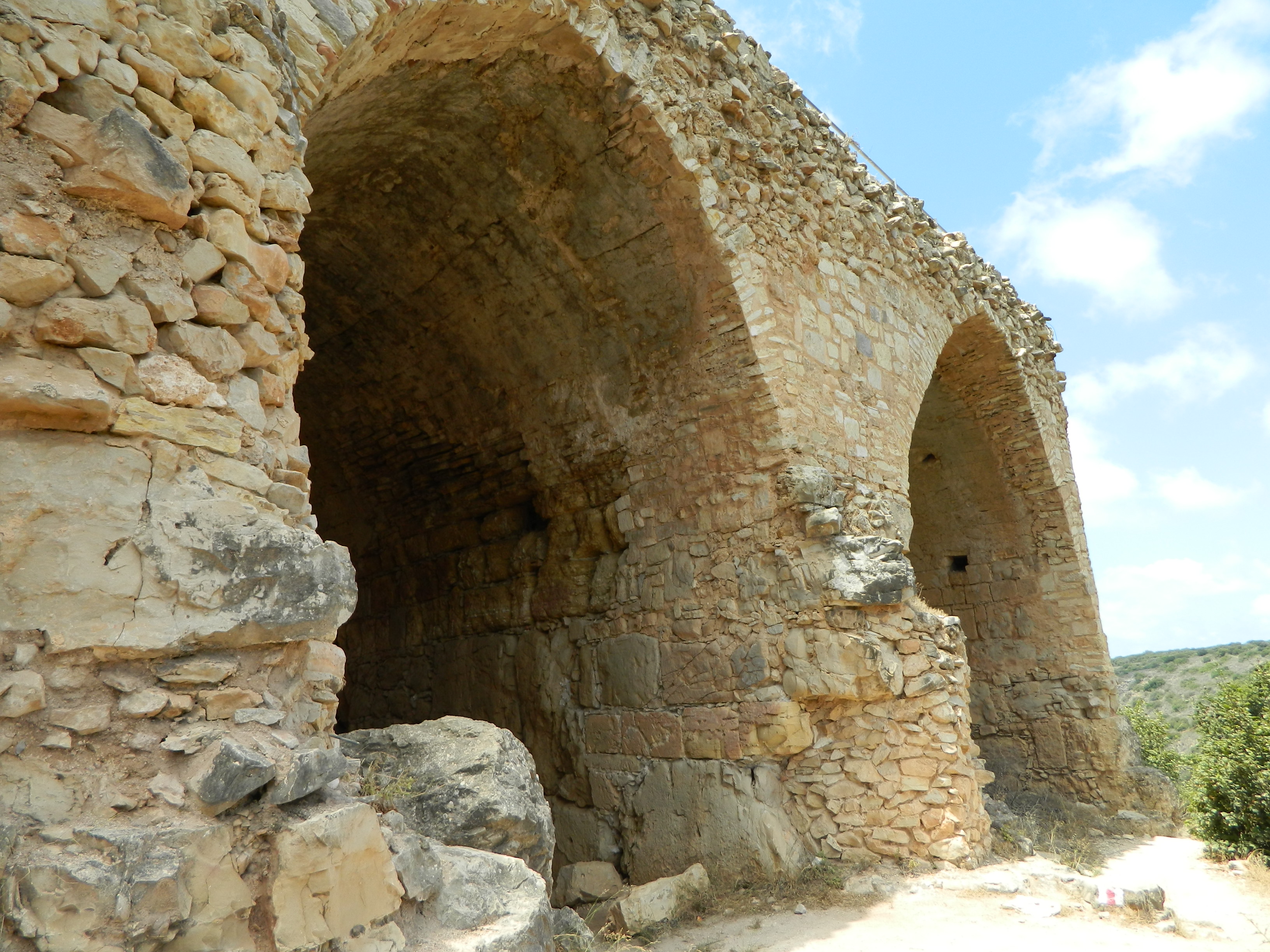
Inside, below the terrace is a great hall with many, many arches, magnificently built by Dahr el-Omar in the 1700s. Here is the southern wall with its array of small windows:
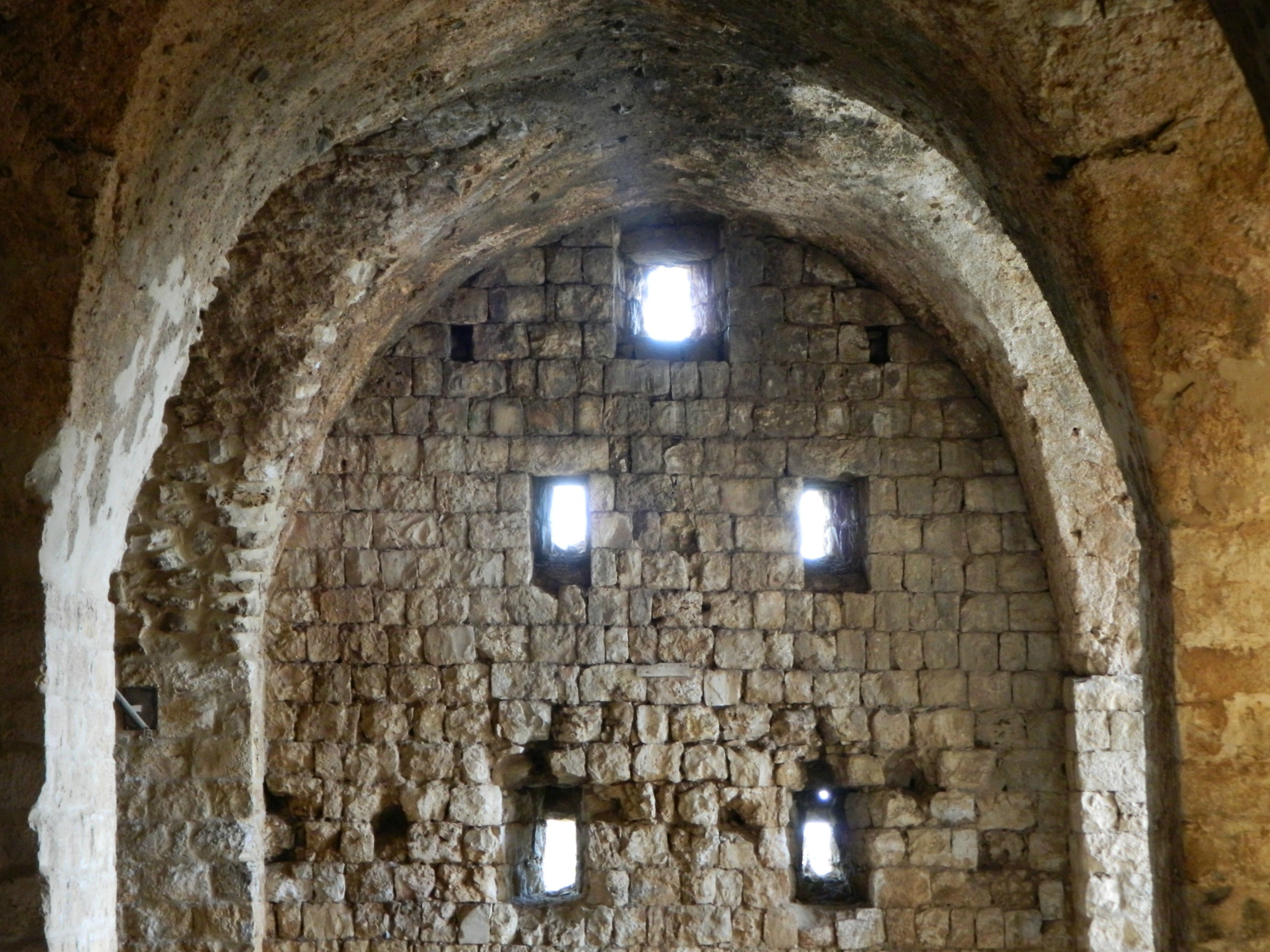
Arched wall with windows
Back outside we stopped by a table bedecked with wine bottles and glasses, the presentation and sales table of Kerem Ben Zimra winery, a new kid on the block. My father sampled the wine, pronounced it “good” or something and we relieved them of two bottles. I think it’s fun visiting wineries and buying wines but sadly, I cannot abide the taste of wine – although there is a really delectable port, Har Sinai by Or HaGanuz winery, introduced to me by a friend, which I rather enjoyed. I personally prefer the world of the micro-brewery, and have a newfound love for stouts (current favourite: Salara Smoked Stout). But, regardless, I love to support these wineries and breweries and so I write about them and link their sites to my blog, so do take a gander.
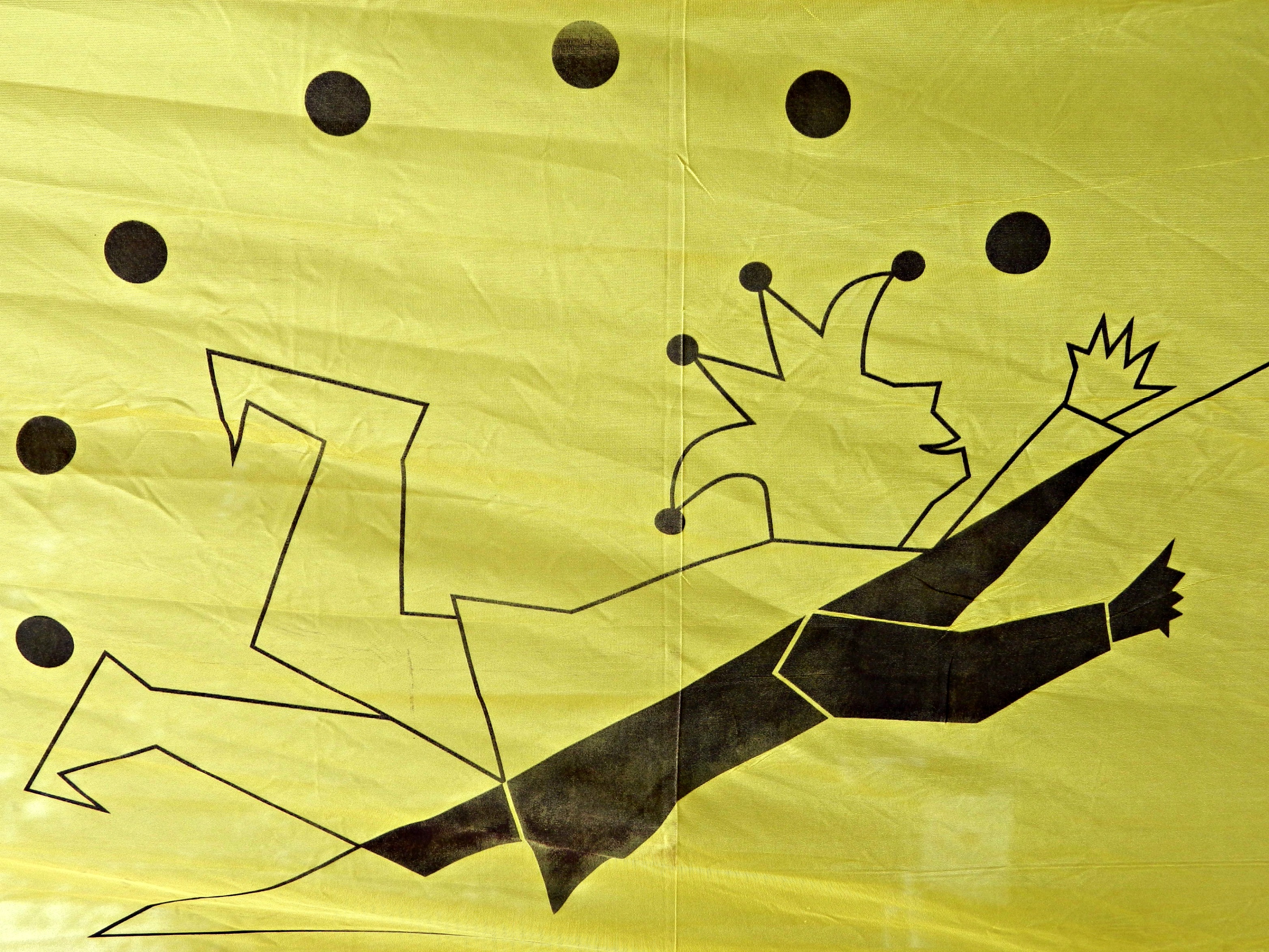
Jester banner
And our last activity, the crafts tables where hordes of children clamored about constructing art out of natural ingredients (and glue from glue guns) which, technically, fits in the “RenFest” setting. Nissim, my little brother, made a superb little knight, see for yourself:
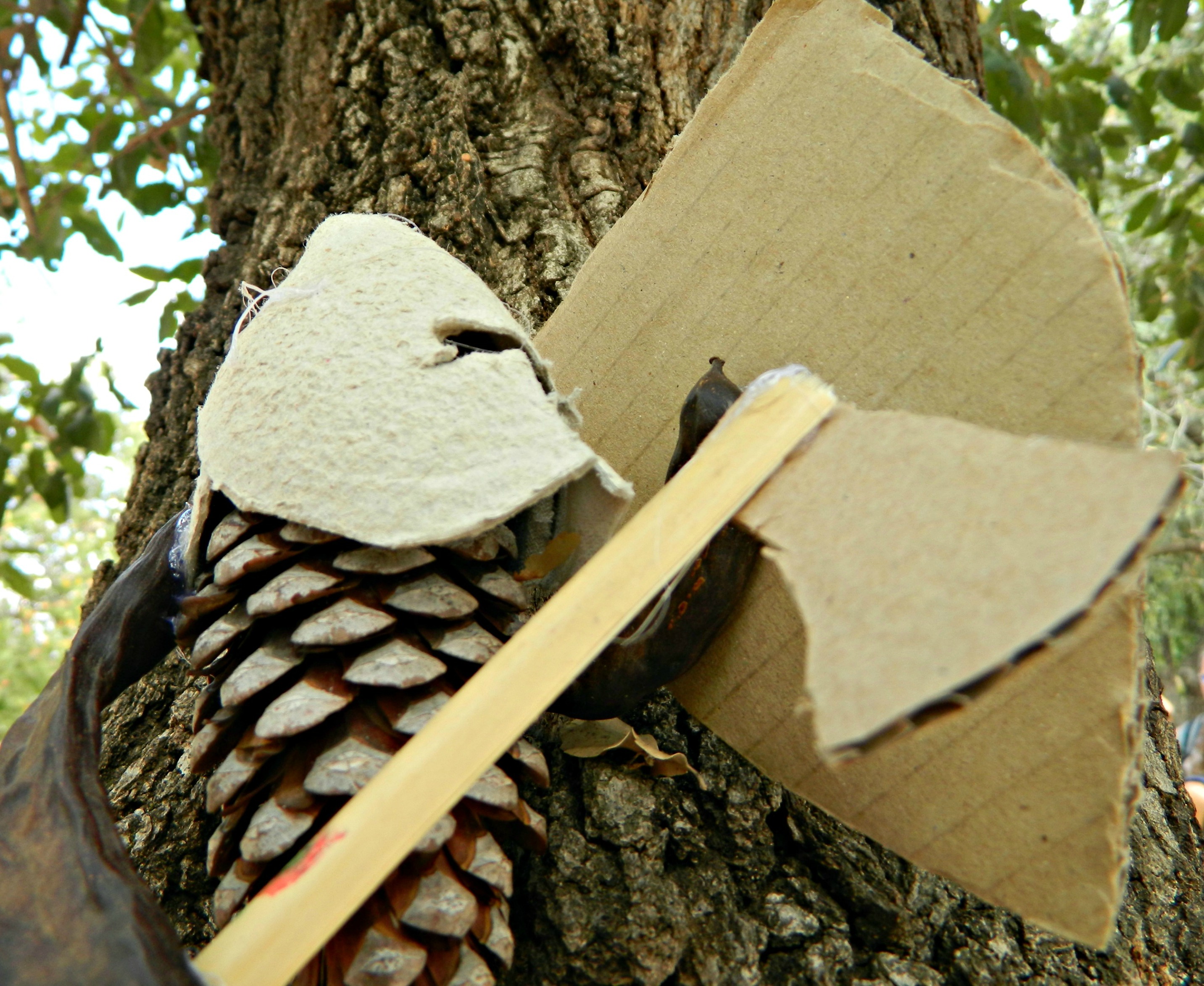
”PineKnight”
Bringing this post to a close, here is a photo I needed to include simply because I love the rich colouring and the metalwork, a Crusader soldier bearing a flag of sorts:
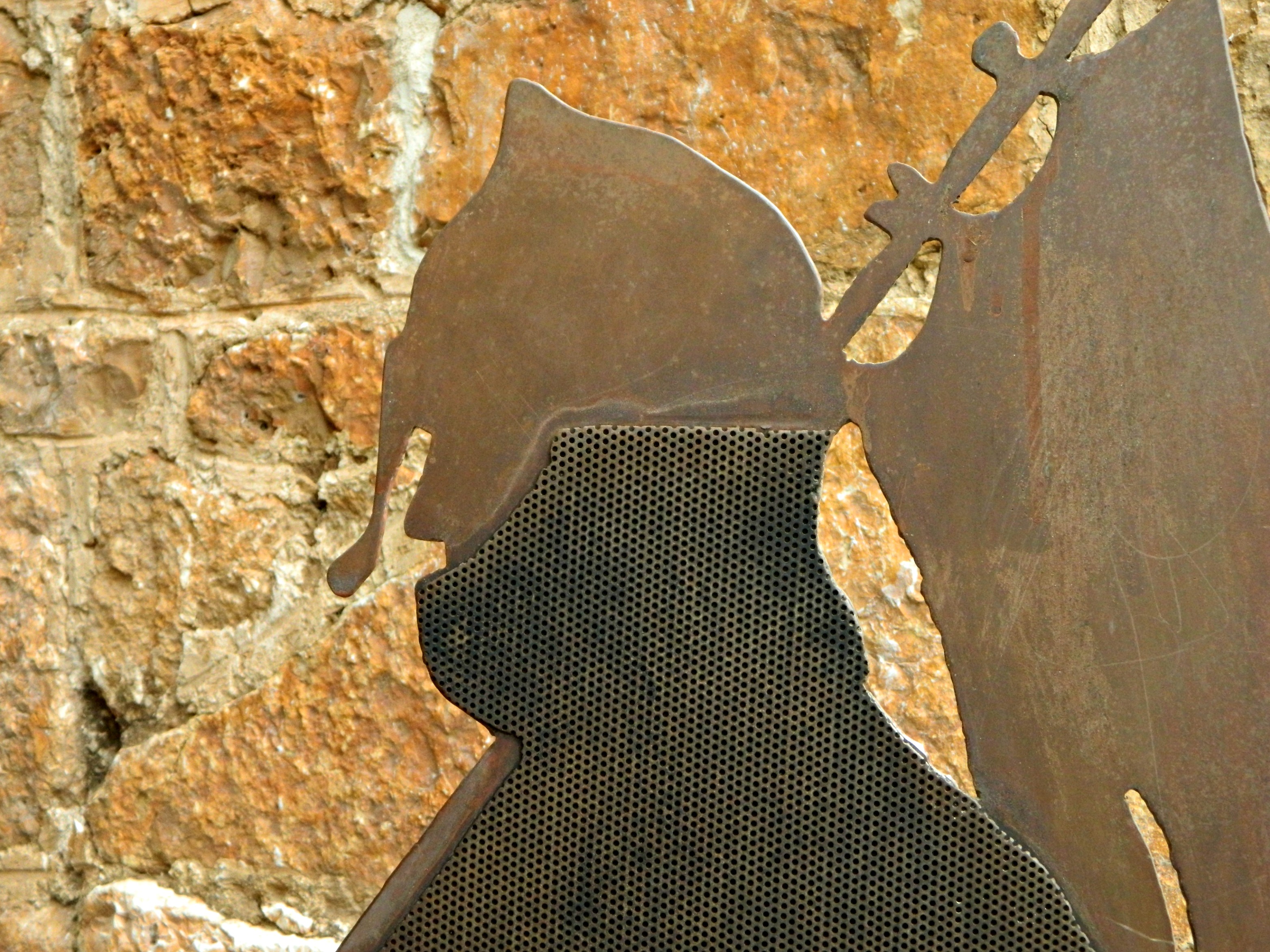
Crusader soldier


")
 - wider shot")


