Israel's Good Name

Archive for the ‘Israel’ Category

Pigeon Cave & Betzet Reserve

In Galilee, Israel on May 7, 2017 at 10:42 AM

I spent the holiday Pesach (also known as Passover) with my family in Ma’alot and managed to go on three short trips whilst up north. The first was to the tidal pools just north of Achziv, where I saw my first sea slug (or sea hare, I am not sure which). The next day we stopped off for a short hike to Pigeon Cave, located between Karmiel and Akko, on our way to Ahihud for an annual barbecue. Parking with the aid of GPS in a gravel lot somewhat near the cave, we disembarked and began the short hike.

Above Pigeon Cave

Almost immediately I spotted an interesting bird – my first wheatear, and then a few minutes later my first short-toed eagle made a lengthy appearance, hovering overhead scanning for his favourite prey, snakes. At first the trail was a simple gravel-and-grass path with red painted trail markers, but that was soon to change. In order to reach the cave, and to continue on the trail towards the opposing Mount Gamal, the trail took a perilous turn along the steep cliff side. Thankfully, the shoes I was wearing that day – loafers not meant for hiking in any way – found sure footing on the craggy rock with their “sticky” rubber soles. I nimbly made my way down and around towards the mouth of the cave, passing interesting wildlife and wildflowers.
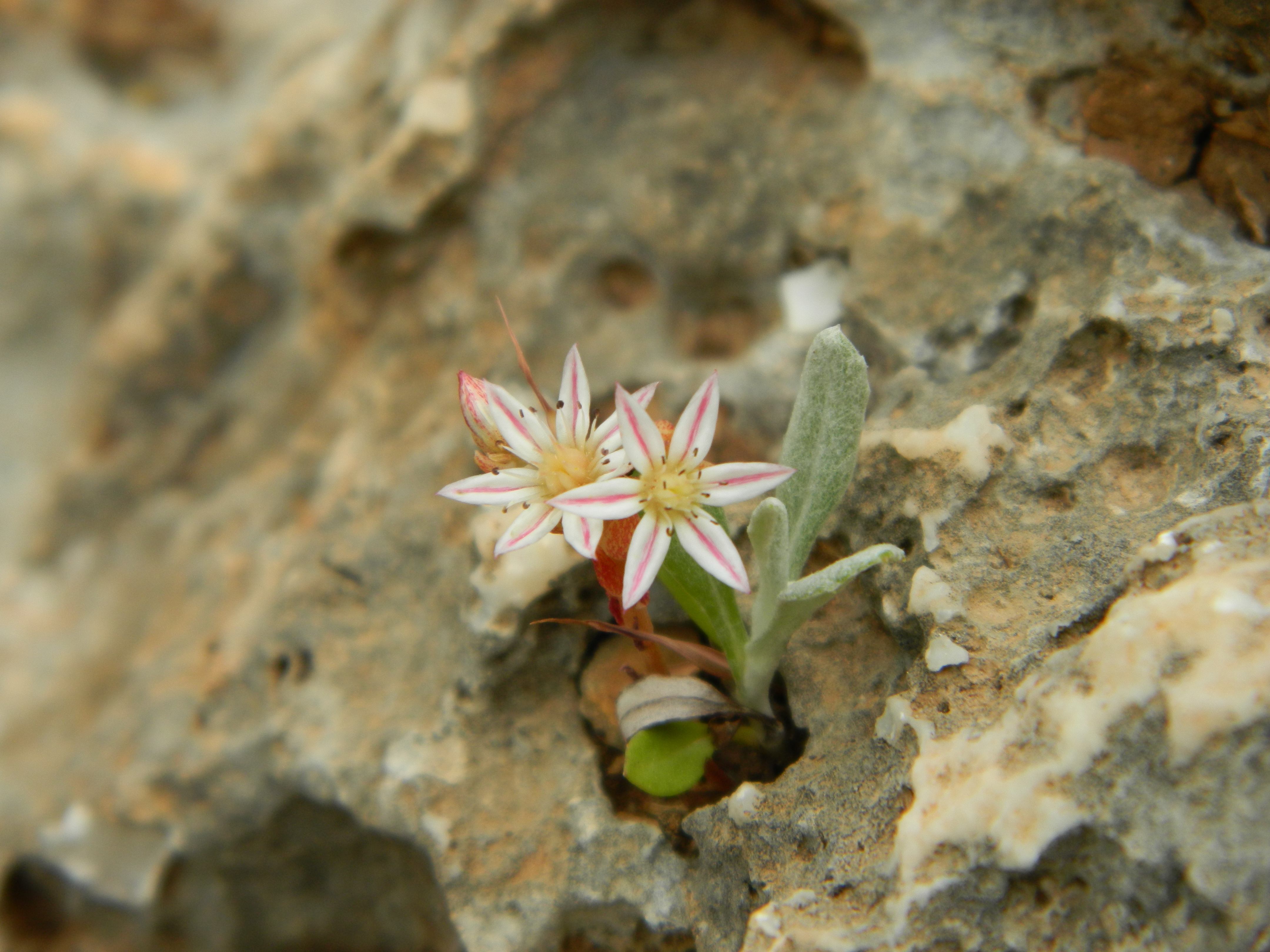
Broad-leaved stonecrop

We found Pigeon Cave fenced off with visible archaeological-work inside, so we continued to the adjacent cave which was open to visitors, with a handful of rock-climbers scaling the cliff wall with ropes nearby.

Pigeon Cave

Pigeon Cave is the site of important prehistoric findings, as I learned about in two of my Archaeology classes at BIU. In one class we learned about the large amount of limestone with the cave, with remains of prehistoric buildings – some of which covered graves – which leads researchers to think the structures were cultic is purpose. Just outside the open cave I noticed something unusual looking on the ground among the rocks and vegetation – what appears to be the spout of a Byzantine vessel, according to a friend of mine.
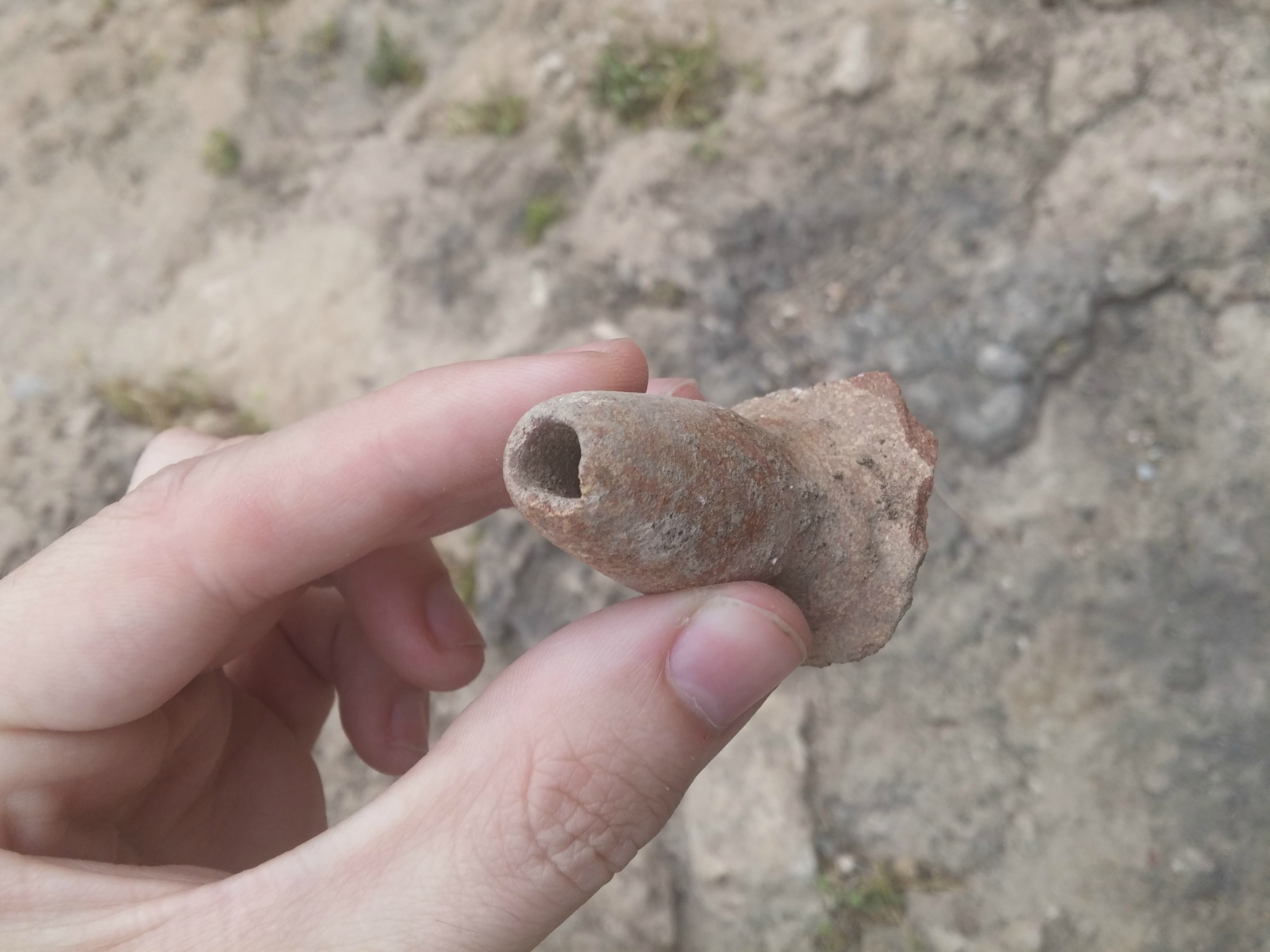
Artefact

We entered the empty cave and glanced about, noticing the large hole in the ceiling and the general bell-shape, defining the type of cave it is. Leaving the cave, we watched the climbers for a bit then headed back up the craggy trail and back to the car to drive to Ahihud.
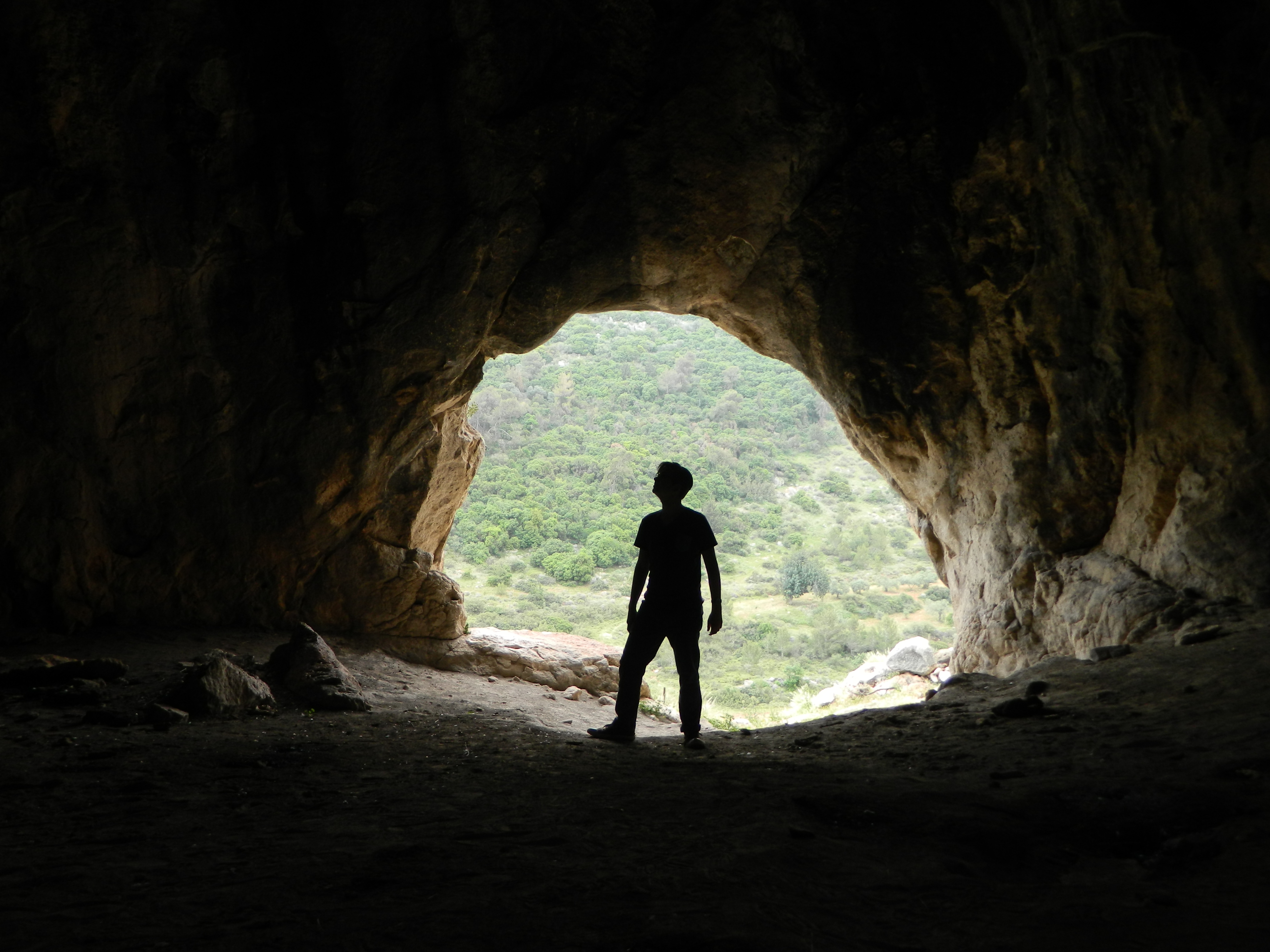
Nissim within the cave

A few days later my father and I took a short hiking trip in Betzet Reserve along the Old Northern Road near the border with Lebanon. Unfortunately, even though the site we had chosen to visit is relatively obscure, there were masses of families with picnics and yelling child which invariably scared off all wildlife for miles. But, there was still a healthy amount of flora and as we walked along the gentle trail to see the Daniela ruins we feasted our eyes on hyacinth squill, lupin, mallow and some sort of wild pea.

Daniela ruins

The Daniela ruins (also spelled De’ne’ilah) is a collection of Roman-Byzantine fortified farmhouses with olivepress installations, as is typical of the Galilee region with its historical olive oil industry.

Olivepress installations

Looping back to the parking lot on the circular trail we then located and began hiking the trail to the next destination: Sarach Cave. We passed very little wildlife, due to the large human presence, but we did see a number of interesting wildflowers including the delicately-petaled pink rock rose and red everlasting, the icon of Yom HaZikaron (Israel’s Memorial Day). Before long we left the sunny flowered area and were hiking under the shade of the trees, walking in and along the dry streambed filled with boulders. Nachal Sarach is a short stream that begins not far from Abirim Fort, feeding winter rain runoffs into Nachal Betzet which drains to the Mediterranean Sea near Rosh HaNikra. Hiking briskly, we heard the clammer of humanity up ahead and a brief check with the GPS told me that we were approaching the cave.

Sarach Cave in Betzet Reserve

To our dismay there was actually a line in order to enter this obscure cave, and so we stood behind an young Arab family with a GoPro awaiting our turn to penetrate the darkness. Despite the presence of so many children, there were no screams of terror when two enormous cave spiders were found on the walls – a species of huntsman by the name of Heteropoda variegata found mostly in caves.

Within Sarach Cave

Slowly but surely we made our way through the interesting cave with its three entrances/exits and its neat cave growths, our journey aided by special cuts in the rock for sure footing and even metal handles like we used in Alma Cave.

My father rising from the depths

Emerging out of the upper entrance/exit of the cave, we made our way back downhill to the streambed and headed back to the car, bringing the Pesach trips to an end.

Bible Lands Museum

In Israel, Jerusalem on April 30, 2017 at 10:38 AM

The other week, before the holiday of Pesach (Passover), I took a trip to Jerusalem with several goals in mind. The morning began at the Jerusalem Bird Observatory, which I had visited for the first time several weeks prior. I was determined to spectate – and maybe even participate – in the daily morning bird banding, and I wasn’t disappointed. Not only did I get to watch and learn about the banding, I also saw a handful of new species for me, including: nightingale, collared flycatcher and my personal highlight, a wryneck.
Wryneck in the hands of Amir Balaban

After the morning banding sessions ended, I settled in the blind to watch for birds and met some birder-photographers whose photos I’ve been seeing for a good while now on Facebook. The highlight was a lone hawfinch which landed near the water’s edge; the cameras clicking away madly as everybody attempted to get a worthy shot. When the clock struck noon I decided I was done at the observatory and made a snap decision to go visit the Bible Lands Museum, on the other side of the Knesset. Opened in 1992 by Dr Elie and Batya Borowski, this museum is the only one of its kind specifically dedicated to biblical history. When I announced myself as a student of archaeology, the girl behind the front desk told me that I was entitled to a discount and that I had come to the right place. And so I gained entrance and began my tour of the museum with the first of twenty galleries on the main floor, taking my time to examine the interesting showcased artefacts. Progressing clockwise in convenient chronical order, the first galleries were of the rise of civilisations and writing – with interesting artefacts including this bearded worshipper of limestone and lapis lazuli from Sumer, Mesopotamia:

Innocent face of the bearded worshipper

I have an affinity for the comical facial expressions interesting pieces as old as this characteristically have, so I was pleased to see next another bearded man, this time of alabaster and hailing from Mari, as well as a particularly hasidic-looking “bald bearded man with sidelock” inlaid in shell also from the Mari area. But there were more than just humourous humanoids to be examined, for some fancy necklaces of gold, lapis lazuli and carnelian next caught my eye, followed by a bronze chariot of sorts being pulled by bronze bulls originating from southeastern Anatolia.

Pre-Hittite bronze chariot

Indeed, the further I advanced into the darkened recesses of the museum, the more interesting the displays were (at least for me). I marveled at a painted cedarwood coffin from Egypt and stelas from Aram city-states, those of biblical mention. At certain displays I felt a behind-the-scenes connection with the touristy representation of the artefacts, being as that I have numerous archaeology classes on the history and legacies of the listed locations.

Stones of Aram

Another feature that struck me as interesting was the model of old Jerusalem, not exactly the same land as the modern Old City. When I had visited Jerusalem last, I was on a tour with Prof Faust (one of BIU’s leading scholars on biblical archaeology) and learned a lot about the walled confines of First Temple-era Jerusalem.

Model of ancient Jerusalem

From then the galleries followed the standard Holy Land list of successive conquerors, namely the Persians, Greeks and Romans. I particularly enjoyed the model of the royal audience hall of the palace in Susa (or Shushan as mentioned in the Book of Esther), a few small gold coins from Greece and the sarcophagus of Julia Latronilla from Rome. Completing my circuit of the main floor galleries, I ventured downstairs to see the temporary exhibit on Khirbet Qeiyafa called “In the Valley of David and Goliath” passing some nice Roman mosaics on the way.

Aerial view of Khirbet Qeiyafa looking south (photo: Skyview)

Having been to Khirbet Qeiyafa, and having dug with Prof Garfinkal (albeit at Khirbet Arai), I felt a connection of sorts whilst perusing the displayed finds and watching the short video about the excavations and subsequent research developments. Debatably associated with the biblical city Shaaraim, based on the fact that two gates were excavated, the region was the buffer zone between the Jews and the Philistines during the Iron Age. It was in the valley below the fortified city, known as Emek HaElah, that the iconic battle between David and Goliath took place. I inspected the inscribed ostracon (broken pottery with inscriptions) and the miniature temple-esque building, among the artefacts, and then settled down to examine some of the academic books written about the place. Browsing through the bibliography I found several of BIU’s archaeologists, and when that satisfied my curiosity, I continued over to the last two temporary exhibitions: “The Classic Court” of Etruscan, Greek and Roman art; and “Gods, Heroes and Mortals” of Ancient Greek pottery.

Snake detail on an Ancient Greek gold armlet

When finished I refilled my water bottle and headed over to the bus stop where I was to be taken to the Machane Yehuda shuk (open market) to meet an old friend, and then off to the Jerusalem Craft Beer Festival – where we sold our first bottle of beer as homebrewers, a 500ml bottle of Arx Meles Stoutus I.

University Trip: Old City of Jerusalem and Ramat Rachel

In Israel, Jerusalem on April 9, 2017 at 5:46 AM

A few weeks ago, after visiting the Jerusalem Bird Observatory and some archaeological sites in and under the Old City, I went on a university trip to Jerusalem, the nation’s capital. Prof Faust, of Bar Ilan University’s Tel ‘Eton archaeological dig, led the trip to some important Bronze and Iron Age remnants found in Jerusalem. Riding in a minibus, we entered the capital from the north and made our way to Jaffa Gate where we continued on-foot to the first site of interest: the Broad Wall in the Jewish Quarter. Built over 2,600 years ago, this wall is indeed broad – seven metres wide in the excavated area – and likely served as part of the northern wall of ancient Jerusalem in the First Temple period. The Old City of Jerusalem as we know it today is surrounded by an Ottoman wall built in the mid 1500s, as the city limits shifted north from its original extent.

Jerusalem’s Broad Wall

Then the professor pointed out something that I never noticed; in some sections of the Old City there are red and black tiled stripes on the stone floor. These red and black stripes depict a suggested continuation of respective First and Second Temple Period walls found far below the strata of construction. Nearby, alongside the Cardo (the north-south street in Ancient Roman cities), we gazed down glass-covered shafts to see remains of both First and Second Temple walls.

Windows to another world

From these shafts we walked over to an open excavated area with more ruins from the Temple Periods, and then we made our way to the Israelite Tower. In the map of the Jewish Quarter (click HERE), the Israelite Tower can be found just north of the Broad Wall. Built in the First Temple period, the tower would have been a typical four-chambered bastion of the aforementioned Broad Wall protecting Jerusalem’s northern border. Usually closed to visitors, we as a group of budding archaeologists were allowed in to the locked area underground.

The Israelite Tower

Within, we looked at the merge between the First and Second Period walls of the tower, the earlier wall suffering damage from the campaign of Babylonian king Nebuchadnezzar. I rather enjoyed the spectacular photographs of the excavations in the 70s and 80s, Jerusalem looked quite different even back then. Leaving the Israelite Tower, and closing the gate behind us, we retraced our way back through the Cardo and witnessed a Bar Mitzva procession to the recently rebuilt Hurva Synagogue – the lad playing what looked like a clarinet à la the Pied Piper.

Bar Mitzva at the Hurva Synagogue

We then made our way through the Jewish Quarter until we reached the Kotel Plaza area and the Dung Gate, there we gained entrance to the Jerusalem Archaeological Park (which I visited last post with friends). But, Prof Faust was only intending on showing us Bronze and Iron Age ruins, so we breezed through the majority of the park.

Spring flowers at the Jerusalem Archaeological Park

We stopped at the Ophel area, a complex of fortifications including walls, towers, cisterns and rooms. The discovery of what appears to be another four-chambered gate, Jewish construction characteristic of the First Temple Period, was the highlight of the recent excavations, perhaps having been built by King Solomon himself. Another neat discovery was that of twelve large clay jugs known as pithoi, one with a Hebrew inscription, which are dated to the destruction of Jerusalem by the hands of the Babylonians in 586 BCE.

Inspecting the Ophel ruins

While listening to the professor, with the incessant sermonising of the Al-Aqsa mosque imam going on in the background, I was keeping a sharp eye out for interesting birds hoping that I’d spot the blue rock thrush again. Though I did not it again, my eye caught a smallish black bird flying about one of the ancient windows of the Temple Mount walls. Using my 21x zoom, and then zooming in the picture, I noticed the orange patch on the wing identifying the bird as a Tristam’s starling – a bird I had only ever seen in the Masada and Dead Sea areas.

A mess of stone ruins

Hurrying back out of the park, we rushed to the minibus parked near the Dung Gate because it was Friday afternoon and we still had two more sites to visit. The next site on the list was the ruins of Ramat Rachel just south of Jerusalem, including remains of a Roman and Byzantine village with ruins such as a columbarium and mikvaot (ritual baths) dating from the Second Temple Period. In addition, many agricultural elements were discovered such as both olive and wine-presses from various periods of antiquity, some with mosaic floors.

Ramat Rachel excavations

Passing the agricultural section, we took a quick look at the Byzantine church area before moving on to the Roman villa and Byzantine village. Lastly, we examined the Ancient Tower Lookout and then headed to the edge of the hill where we enjoyed the view of southern Jerusalem and the nearby Mar Elias Monastery (built in the 6th century). In 1956, while a group of some 500 conference participants gathered at the newly excavated Ramat Rachel dig, Jordanian troops opened fire from the outposts near the monastery killing four and wounding seventeen.

Mar Elias Monastery

Interestingly enough, one of the most recent discoveries at Ramat Rachel was the uncovering of a skeleton wearing a helmet – presumed to be a Jordanian soldier. There was a pleasant presence of nesting jackdaws and an abundance of wildflowers such as lupin, hairy vetch and prickly alkanet as well as blossoming Judas trees which brought joy to us all. But the clock was ticking and it was time to venture on over to our final destination, Rogem Site.

Nesting jackdaw

One of a series of mysterious tumuli (or mounds possibly covering graves) in the Jerusalem area, this Rogem Site is the biggest of them all. Surrounded by rock-hewn caves and agricultural installations, this mound can be found in the neighbourhood of Ganim Bet and is covered with some really great wildflowers including scarlet pimpernel and stolonous gold-crocus. While climbing the hill I noticed a particularly beautiful called barbary nut which were all shut – however, in the half hour or so that we were on the hilltop, all the flowers opened wide. This explained the common name in Hebrew for the flower: afternoon iris.

Barbary nut

The professor told us about a theory that these mounds were built to host cultist bonfires, if I understood correctly, but there is much skepticism. Leaving the wildflower-spotted hill and back in the minibus, we had a merry conversation about the hallucinogenic ergot fungi, which one of our party members found on a stalk of wild grain. Within a short while we were pulling up at Bar Ilan University and everybody disembarked to head their separate ways, bidding each other a “Shabbat shalom!”

Jerusalem: Quarries and Archaeological Park

In Israel, Jerusalem on April 2, 2017 at 8:38 AM

Carrying on with the Jerusalem trip I took with friends Adam and Daniel Ota, we had first visited the Jerusalem Bird Observatory and then the Machane Yehuda shuk (open market). Our next destination was intended to be the Rockefeller Museum, an archaeology museum in East Jerusalem. However, we dallied along the way, pausing to admire the historical buildings of Jerusalem. One particularly interesting building was the Italian Hospital, an impressive Renaissance-style building completed in 1919. Upon reaching the walls of the Old City, we were making our way into East Jerusalem after passing the ornate Damascus Gate when we spotted something intriguing at the base of the wall.

King Solomon’s Quarries

An opening of a cave, with a sign stating “King Solomon’s Quarries (Zedekiah’s Cave)” – and with a name like that we just had to investigate. The moody guard attending the entrance post admitted us after we paid the nominal student fee and our explorations began. At first we imagined that the maw-like chamber was the whole extent of the cave but as we walked further and further along the lit path, we realised that this was quite an impressive cave.

O’ glorious cave

The cave was originally a natural cave and was enlarged into a large subterranean quarry approximately 2,000 years ago – around the time of the Second Temple. According to the report by the Israel Antiquities Authority, a ceremonial stone mallet with Freemason markings and the words “King Solomon” was found, in addition to pottery and coins from various periods. Stone blocks hewn from the cave were used to build houses and buildings in Jerusalem and, with the Old City built over it, the cave was forgotten and the entrance covered up. One wintery day in 1854, an American scholar named Dr James Turner Barclay accidentally discovered the cave while walking his dog and secretly surveyed the cave, announcing his discovery shortly thereafter. Deeper and deeper we walked, the air becoming damp while the occasional drops of water falling around us from the cave ceiling. We next passed through a large cavern named “the Freemasons Hall”, where Freemason ceremonies took place in the years after the cave’s discovery.

Within the Freemason Hall

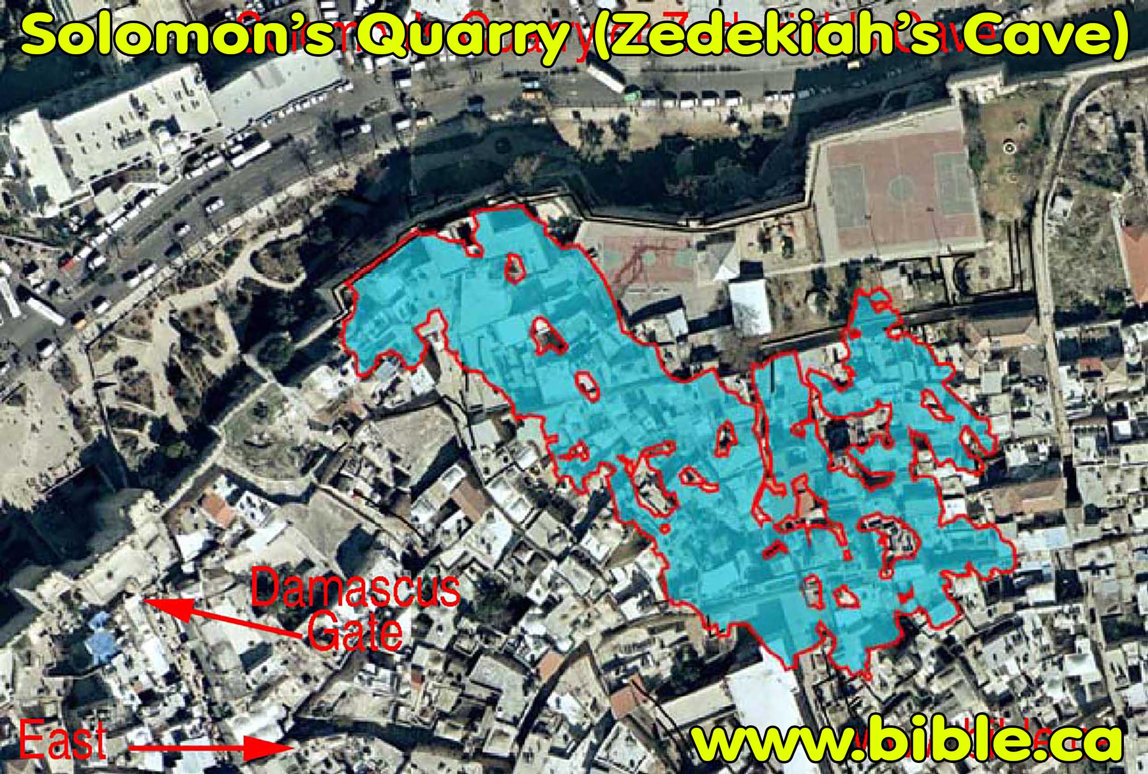
Leaving the cavern we heard the noise of running water and found a crack in the cave wall dripping water into a small pool, a site named “Zedekiah’s Tears”. On the other side of the cave we found a chained-off area with a sign claiming that the area ahead was a “challenging trail”, but, being the explorer that I am, I naturally ignored the pesky chain and explored the damp darkness. What I found was a hole in the cave floor with what looked to be a passage below – I did not venture any further. Heading back out of the cave, pausing to comment on the charcoal graffiti dating 1889, we expressed our marvel of this virtually unknown place of interest. Just to express the cave’s size, the maximum length measures out to about 230 metres, with the width reaching over 100 metres at the widest point. All-in-all the cave is 9,000 square metres with the average height of fifteen metres throughout – an illustration over the satellite image of the Old City demonstrating the underground reaches can be seen HERE. Rain was drizzling down when we left the muggy comfort of the cave and we made our way to Rockefeller Museum, which had unfortunately closed for the day twenty minutes prior.

Iconic tombs in the Kidron Valley

And so, to salvage the rest of the hours of daylight, we decided to loop around the eastern side of the Old City and found ourselves looking across at the Mount of Olives and down at Kidron Valley with its masses of Jewish graves including the iconic Yad Avshalom and the so-called Tomb of Zechariah. Our view then turned to the Arab village of Silwan and then we made our way to the Jerusalem Archaeological Park, just inside the Dung Gate.

Jewish ‘graves’ and Silwan

We paid the discounted student entrance fee and began with the Davidson Centre where we breezed past descriptions and explanations of Jerusalem’s rich yet turbid past. Leaving the visitors centre, we first feasted our eyes on the gardens of the Umayyad palace before crossing over into the Ophel Walls area with it numerous strata of construction. Houses, communal structures, ritual baths and cisterns all build one atop the other; the archaeological work must have been dizzying.

Strata of ancient construction

Unfortunately, while the rain had stopped minutes earlier, the skies were still gloomily overcast. With sunset approaching, we hurried through the ruins and I spotted two fun birds with colourful names: a black redstart and a blue rock thrush (my second one ever). Here is an interesting Byzantine mosaic floor that reads “Happy are the inhabitants of this house” in Greek:

Byzantine mosaic floor

One thing that I find difficult with sites such as this (and also Bet Shean, for example) is the sheer quantity of things to see. When one sees a singular ancient building or the ruins of a small complex it is easier to process, but when confronted with the huge amount of ruins and artefacts to examine… some of us get a little overwhelmed.

Cloudy sunset over the Old City

We made our way to the staircase of the Hulda Gates, entrances to the Temple Mount that were sealed up many years ago. There is a Latin inscription visible above the western Hulda Gate, dating to the reign of Roman emperor Hadrian, and a façade from the Umayyad period.

Looking up at the façade and inscription

Walking along the southern wall of the Temple Mount, we reached and climbed the remains of the Crusader tower (the famous Templars were based out of the Temple Mount, thus the name) and enjoyed the view. Above us, beside the dull silver dome of the Al-Aqsa Mosque, there is a Muslim archaeology museum of sorts – sadly off-limits to us.

Crusader tower behind the tree

Leaving the tower, we continued along the impressive wall and reached the corner where an interesting inscription is on display as well as multitudes of enormous broken blocks from the Roman destruction of the Temple nearly 2,000 years ago. There, the famous Robinson’s Arch was discovered fallen, with small stores at the opposing base.

Robinson’s Arch

Darkness settling in, we hurried through the last section of the ruins and then popped over to the Kotel (or Western Wall) for a quick visit.

Posing at the Kotel

Despite the gloomy, grey skies that the day offered, twilight was actually quite beautiful and I was able to take a rather pleasing photo of the Kotel:

Kotel at twilight

Leaving the Kotel, we boarded a bus back to Jerusalem’s Central Bus Station where we had dinner (schnitzel in a baguette for me) and then boarded a bus back to Givat Shmuel to bring an end to a very long but very adventurous day. Little did I know that I was to revisit the Jerusalem Archaeological Park a mere two week later with fellow Archaeology students in the form of an academic tour – coming up next…

Jerusalem Bird Observatory

In Israel, Jerusalem on March 26, 2017 at 8:16 AM

A few weeks ago, before all the fun of Purim, I took another trip to Jerusalem with my friend Adam Ota, and this time his brother Daniel tagged along. We were headed for the Jerusalem Bird Observatory to watch the morning bird ringing, but unfortunately had a later start then planned. Arriving in Jerusalem, we walked into the Government complex, passing by the Supreme Court of Israel and then one of the entrances to the Knesset when we turned off-road. Right there, nestled in the trees and rose bushes, is the Jerusalem Bird Observatory with its ringing station for bird identifications and record tracking.

Jerusalem Bird Observatory

Since we arrived a tad late the ringing was over but we were shown into the centre by Sara Dudovitz, a friend of my family, where we watched a short film comprised of footage of wildlife in urban Jerusalem. Amir Balaban, the director of JBO and consummate nature videographer (see his YouTube videos HERE), made an appearance and then was off. After the short film I marveled at the minute size of a stuffed little owl and we were then given a short tour of the closed ringing station.

Springtime blossoming

Looking out the big picture windows, I spotted my first lesser whitethroat hopping about on the ground twenty or so metres away. Moments later, a Syrian woodpecker landed on a nearby tree and began examining it – followed by a great tit flitting by. Convinced that this was the place to be, I intended to settle in for some birding, but Sara knew better and took us to an even better spot – the observation room with its open windows to a small nature area with a tiny waterfall and pond.

Peering into nature

Armed with my camera and its 21x optical zoom, I joined Adam and his old Russian military monocular in scouring the outlying views of our post for birds. I was amazed at the sheer quantity of wildlife mere metres away; blackbirds, European robins, greenfinches, a white-breasted kingfisher and two Caspian turtles basking at the waters edge.

White-breasted kingfisher

As I was watching a whole bunch of sparrows, chaffinches and greenfinches feeding in the grass 2-3 metres away, I noticed that there was one who didn’t fit in. It was a bird I had never seen before, and it took me only a few seconds to realise what it must be: a female brambling. Minutes later it was joined by a male brambling, a songbird of striking plumage. My photos didn’t turn out too amazing so I was fortunate to secure a nearly identical (yet far superior) one from talented photographed Ilan Ramati who visited the JBO on the following day.

Brambling (photo Ilan Ramati)

Shortly thereafter, as the three of us continued to notice new birds appearing in our field of view, one of the women who work at the JBO went out to refill the seeds in the bird-feeders and to string fresh lines of peanuts. Keeping my camera focused on one of the bird-feeders I tried time and again to capture a great tit snatching sunflower seeds, but to no avail. I did, however, catch this Eurasian jay perched on the peanut line moment before he wrestled one off for consumption.

Eurasian jay

One of my favourite songbirds, the European robin, was only spotted in the shade to the right side of the observation deck which made it hard to photograph. I adore how despite their dumpiness and overall simpleton demeanor, their warbling song is commendable to say the least. And so we stayed in the observation deck for a couple more minutes before popping on to the living roof – the first one in Israel – and then departing via Gan Sacher, the backside of the JBO preserve.

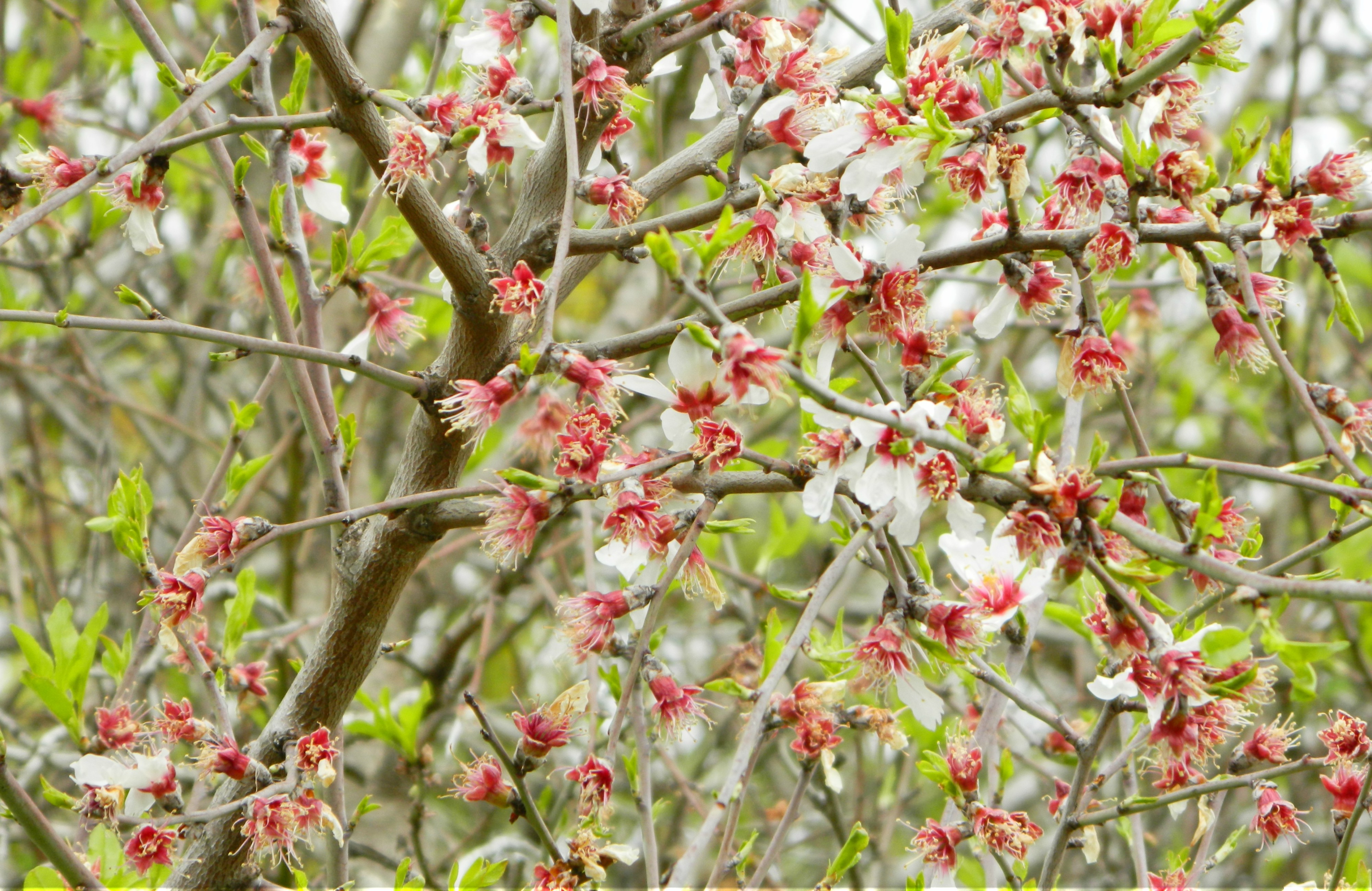
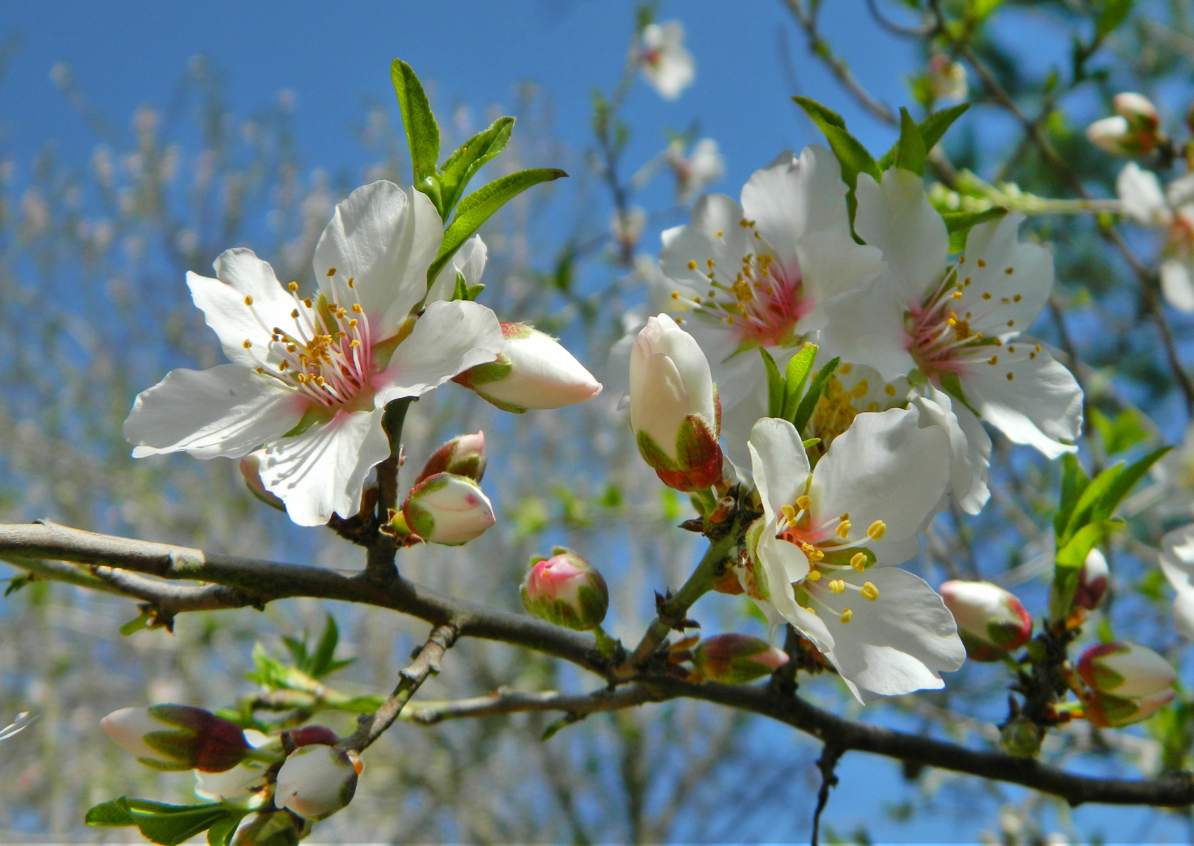
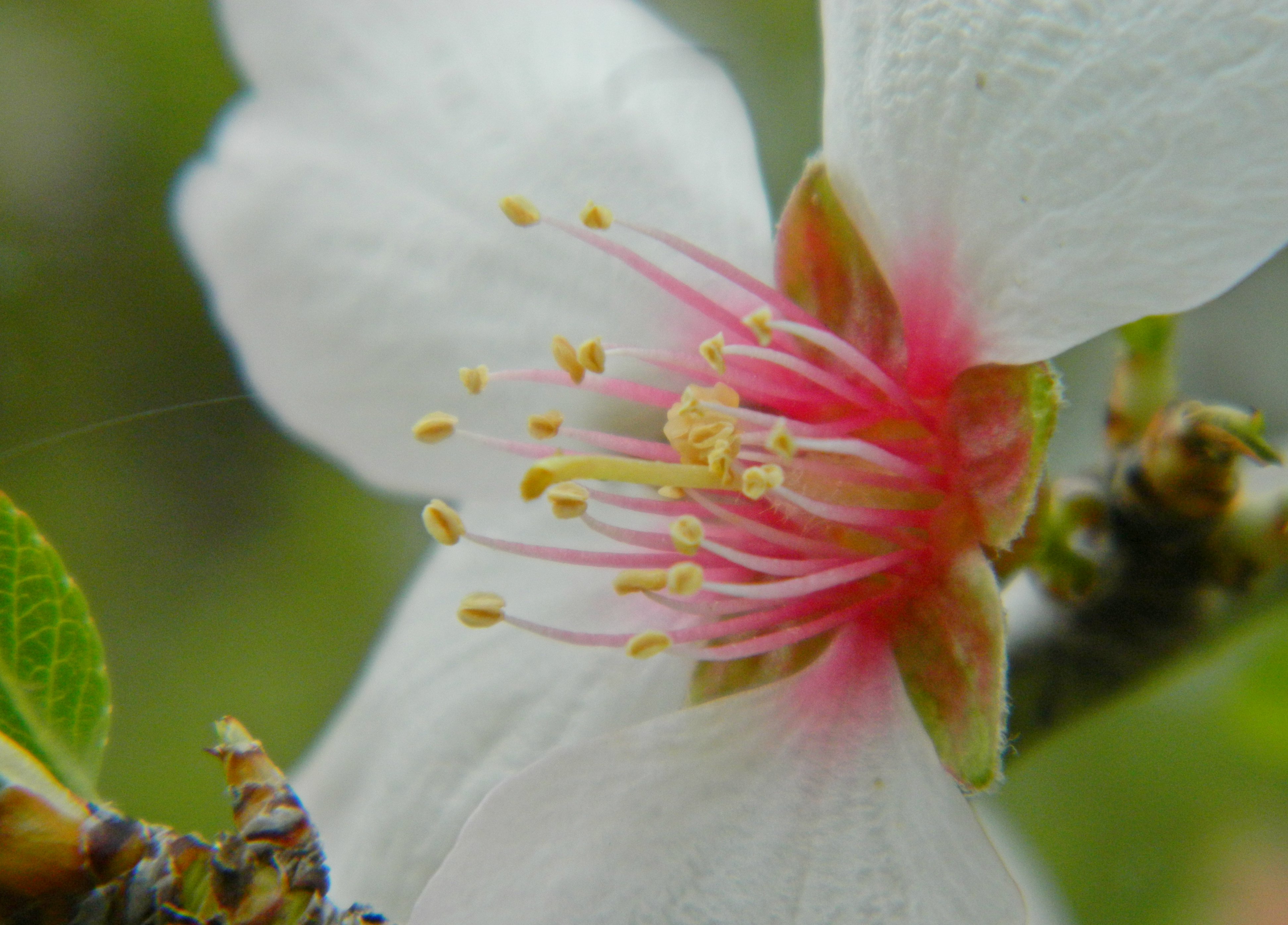
Almond blossom

We saw an interesting thorny tree and the plentiful blossoming of anemones, Persian cyclamens and almond trees as well as a few jackdaws as we walked out of the park. We were headed for Machane Yehuda shuk (open market) where we had a lunch of pasta before heading to East Jerusalem, in search for archaeological wonders.

Lifta

In Israel, Jerusalem on March 5, 2017 at 6:27 AM

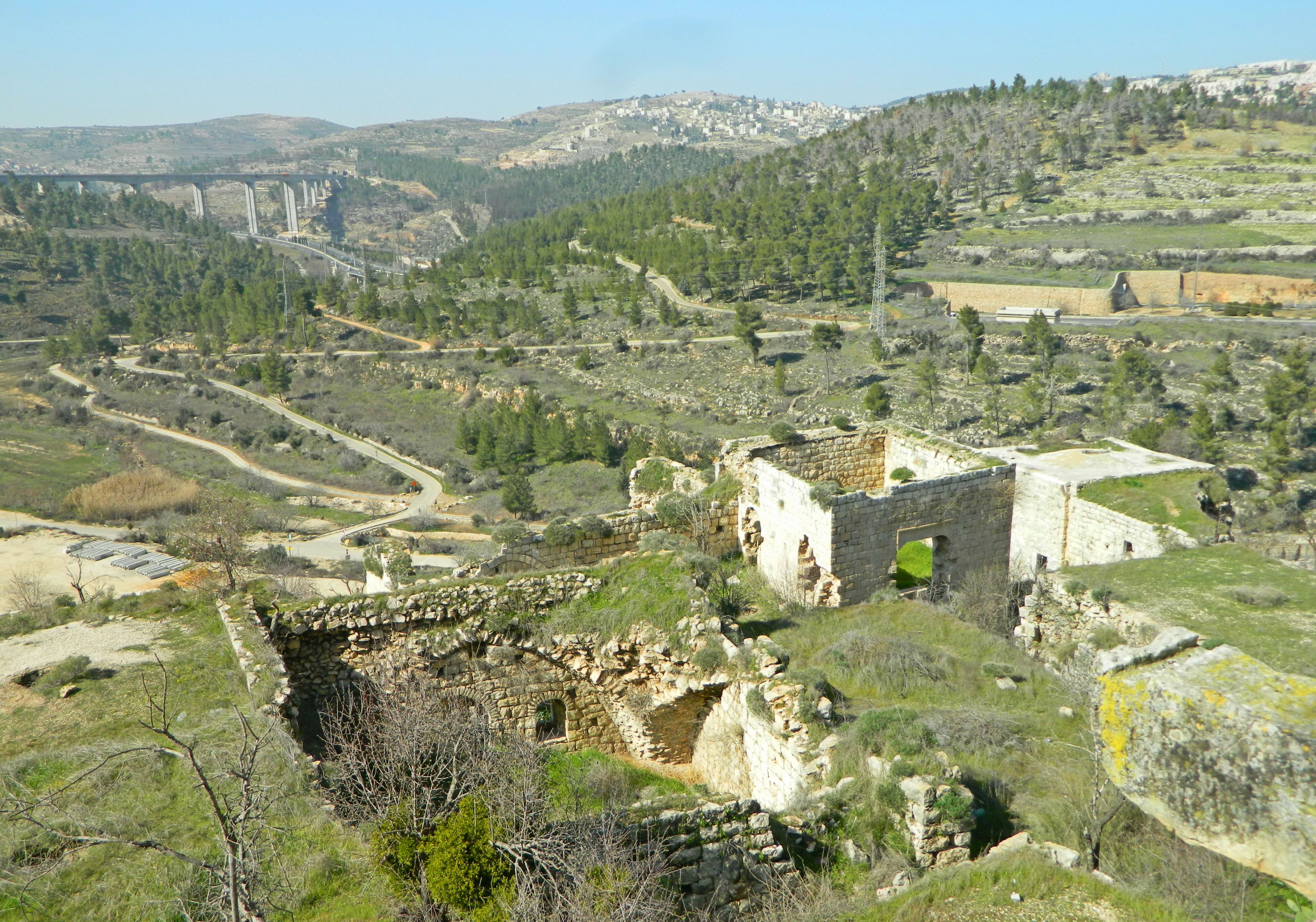
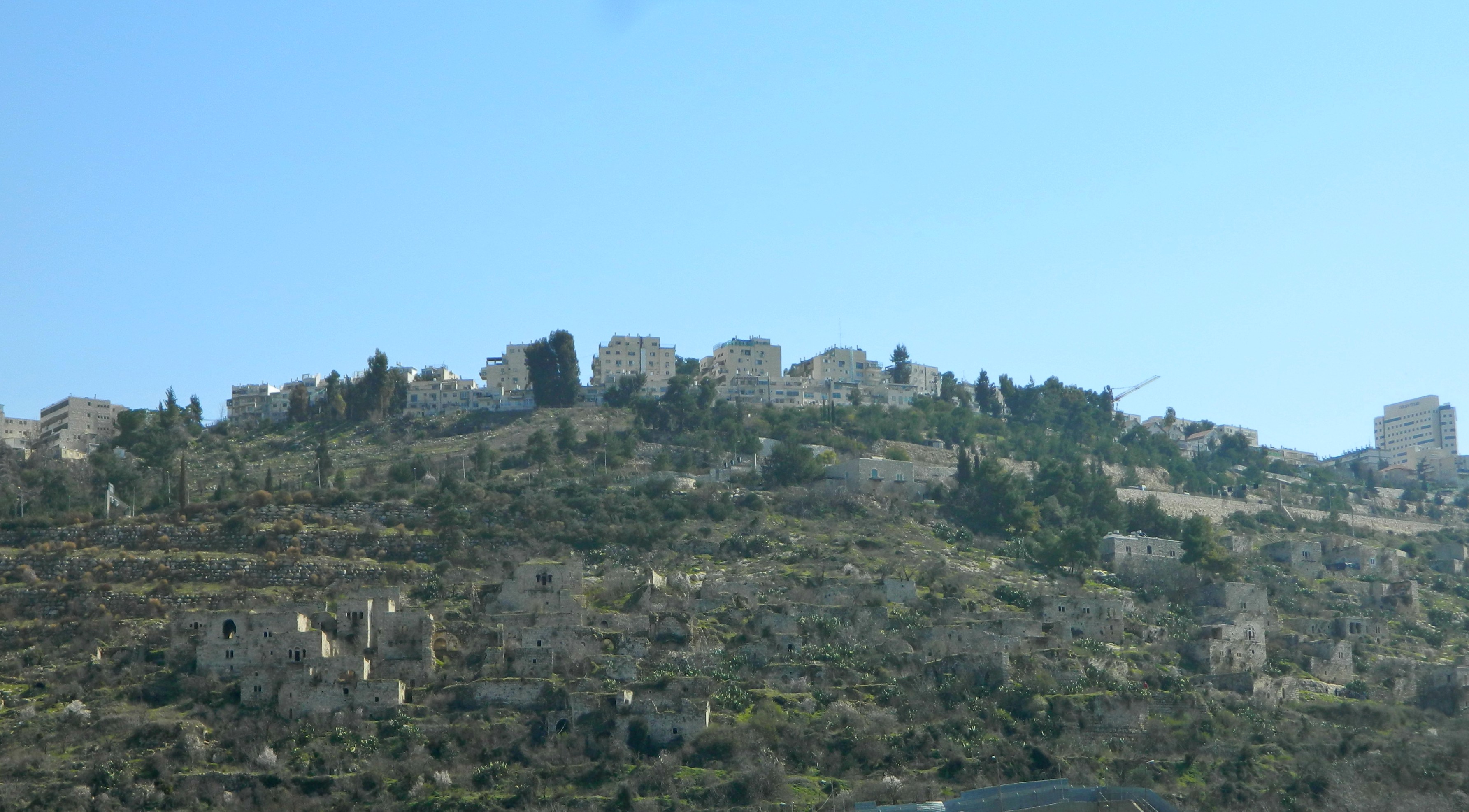
Continuing from our tour of the Ramot Forest in northern Jerusalem, where we saw gazelles and ancient winepresses, my friend Adam and I headed for the nearby ruined village of Lifta. Located just outside the main western entrance of Jerusalem, between Roads 1 and 50, the abandoned houses and buildings belong most recently to an Arab village.

Lifta from afar

Lifta from afar below modern Jerusalem

First, the village was a Jewish one by the name of Mei Neftoach during the time of the First Temple, and was subsequently destroyed by the Romans under Titus and Vespasian. During the Byzantine period settlement resumed, the village going by the name Nephtho – changing to Clepsta under Crusader rule. Lifta reached its peak in the late 1880s and since the 1950s the ruins have just been a part of the landscape, good for both tourist and research purposes.

Almond blossoms

Almond blossoms

Walking down from the Ramot area, we passed a few blossoming almond trees as well as a few startled gazelles and some songbirds. After the Tur Sinai farm we made our way across the land bridge over Road 1 with a vantage point of the stone ruins of Lifta on the opposite hillside. Winding down the backroads, we passed a playground park and then found the offroad path to Lifta, with its blue trail marker.

Interesting trail marker

Interesting trail marker

We stopped every so often to take photographs of the beautiful blossoming almond trees dotting the hillside. Shortly we were walking below the houses and buildings of the northern end of Lifta, yet we continued on until we found a better place to climb up.

Lifta

Lifta

We started with a house and then the olive mill – unfortunately, I haven’t been able to find a straightforward source to identify what the different structures are, although some are obvious. In my searches for site identifications I found a really interesting collection of 3D scans of a handful of Lifta’s structures (see HERE).

Inside the olive mill

Inside the olive mill

Standing at the northern end of the old village’s nucleus, we were surrounded by stone walls, almond trees, cacti and an abundance of green grass growing everywhere. Within the village we explored the lower street heading north, so overgrown that we passed over, around and even through houses to progress further.

Exploring the ruins

Exploring the ruins

Pausing every now and then to marvel at the magnificence of the ruins, as well as the spotting of a black redstart perched on a nearby tree, we eventually made it to the end of the lower street area and climbed up to the upper street area, where a formidable building with ornate lintel inscriptions commanded our attention. If I’ve understood the Israel Antiquities Authority’s report correctly, the building is Ottoman era built on more ancient wall foundations, perhaps Crusader.

Looking out the windows

Looking out the windows

Entering the upper floor of the building we found the encampment of a homeless, but no homeless in sight. One of the things that we noticed in many of the two-floored structures was a large hole in the ceiling/floor – probably intentional to discourage potential dwellers. Reading antiquity reports, I learned that most of the two-floored houses in Lifta were of the “traditional rural house” design: the bottom floor for storage and livestock, the upper floor for the human residents.

The view from Lifta looking west

The view from Lifta looking west

Making our way back to the village nucleus along the upper street, we explored the various structures and then headed for the other half of the northern end of village. We looked down at one particularly interesting building with a grassy roof, which may have been the village’s mosque. With so many more impressive buildings it seems unusual that this would be a mosque, but the village mosque is described as a one-story structure with a walled courtyard, such as this one. We didn’t venture inside, so I wasn’t able to confirm with the presence of a mihrab (prayer niche).

Interestingly overgrown building

Interestingly overgrown building

Bearing in mind that it was Friday afternoon and we still had to get back to Givat Shmuel before Shabbat, we decided to put some pep in our step and breezed past many interesting – and curiously impressive looking – structures.

Too sunny for proper smiles

Too sunny for proper smiles

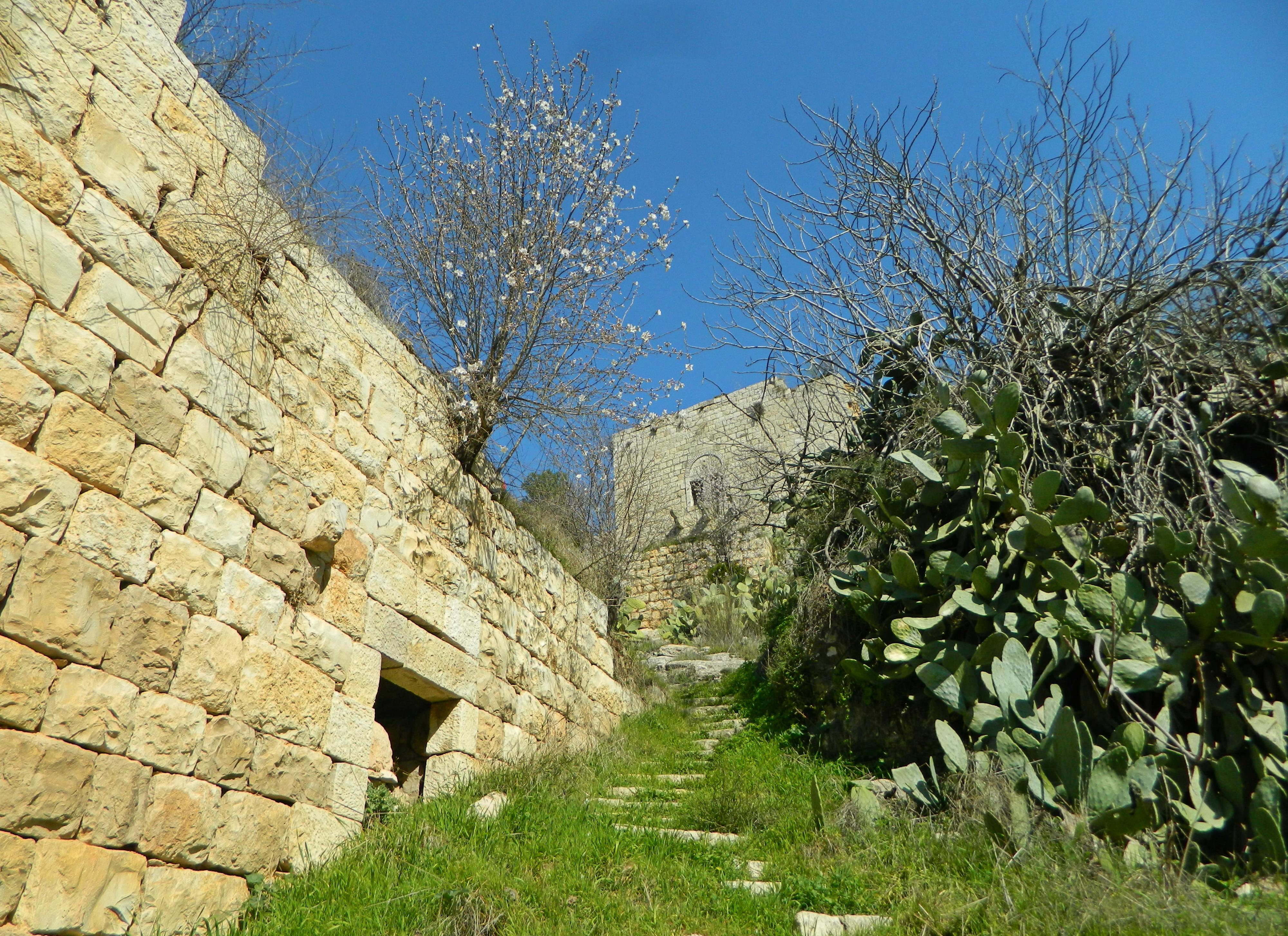
At one point I commented that it felt like we were walking through a medieval village, just without the people, the noise and the most likely offensive smell. One grassy set of stairs going uphill really found favour in my eyes.

Grassy stairs

Grassy stairs

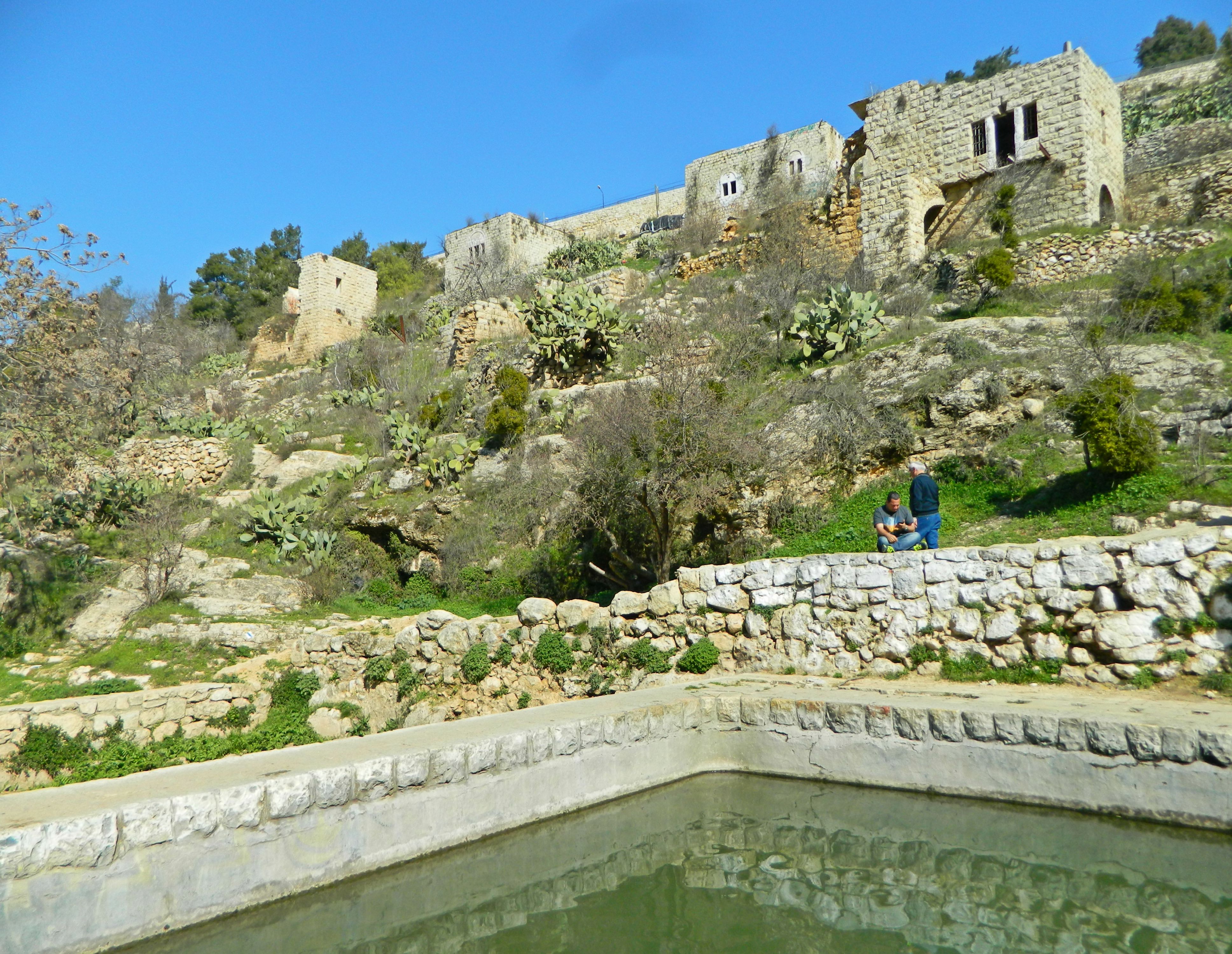
Before long the dirt trail turned into one of stone tiles and we noticed water gurgling to the right of us. Up ahead we set eyes on the famous Lifta spring, with its two pools. The outer pool was covered in a green layer of duckweed, with floating trash here and there. The inner pool was relatively clean with a small stream of water emanating from a walled spring, where some youth were preparing to swim.

Spring of Lifta

Spring of Lifta

We didn’t have enough time to explore the western side of the village, but thankfully the bulk of the interesting sites were where we were. From the spring we took the road up to Jerusalem, climbing at a rather steep angle to reach the road. Feeling a mite peckish, we then walked to the Central Bus Station and got schwarma wraps before catching the absurdly packed bus back to Givat Shmuel an hour of so before Shabbat began. Stay tuned for our next Jerusalem adventure!

Jerusalem: Ramot Forest

In Israel, Jerusalem on February 19, 2017 at 7:02 AM

The other week, on the Friday before Tu B’Shvat, I went on a nice guided tour of the Ramot Forest in northwest Jerusalem with my friend Adam Ota. Provided by Ramot for the Environment, a group dedicated to preserving the natural areas outside the Ramot neighbourhoods, this trip was under the guidance of Hilary Herzberger, a local resident and activist, and Shmulik Yedvab, a zoologist from the Society for the Protection of Nature in Israel (or, SPNI).

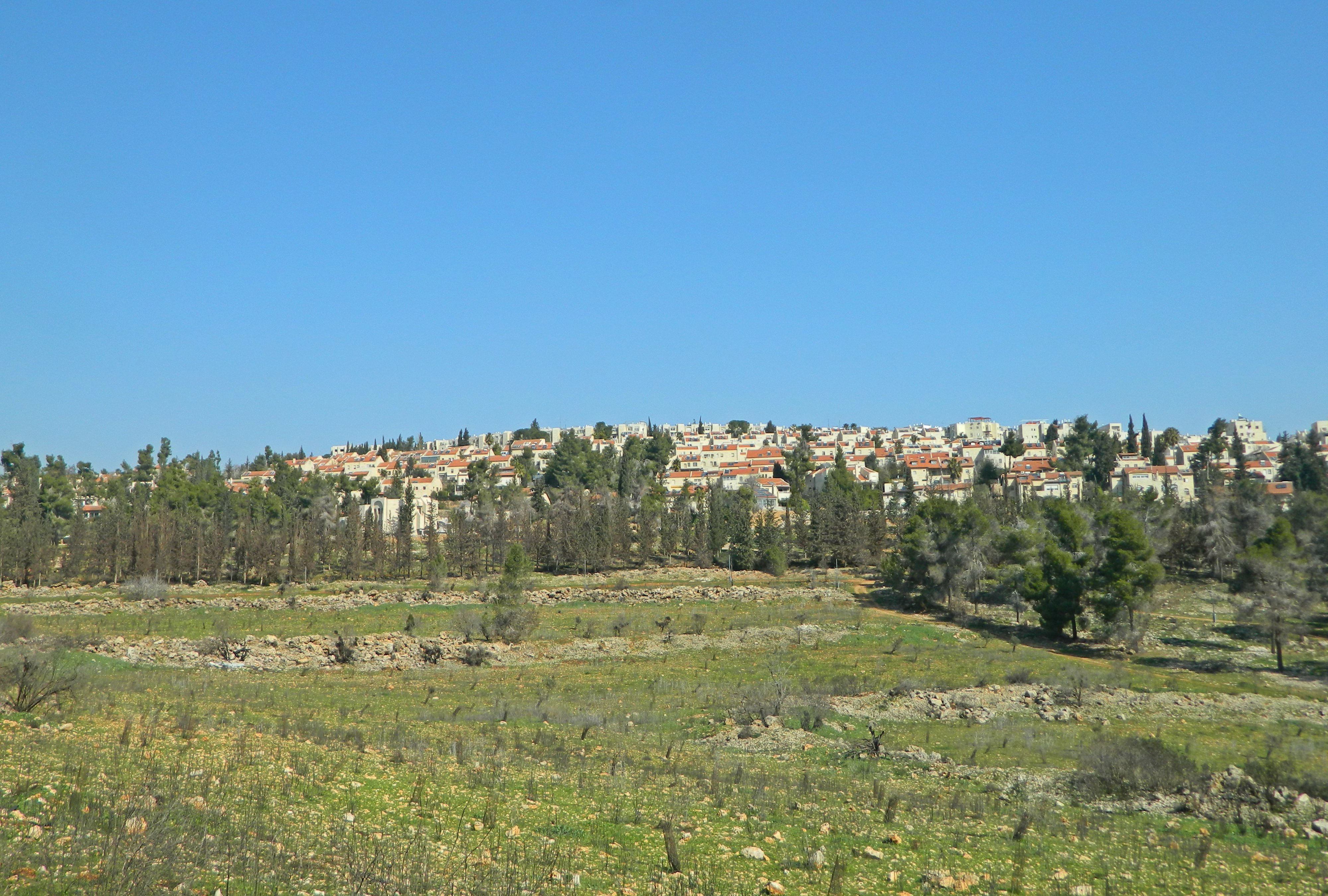
Ramot Forest with Ramot in the background

Ramot Forest with Ramot in the background

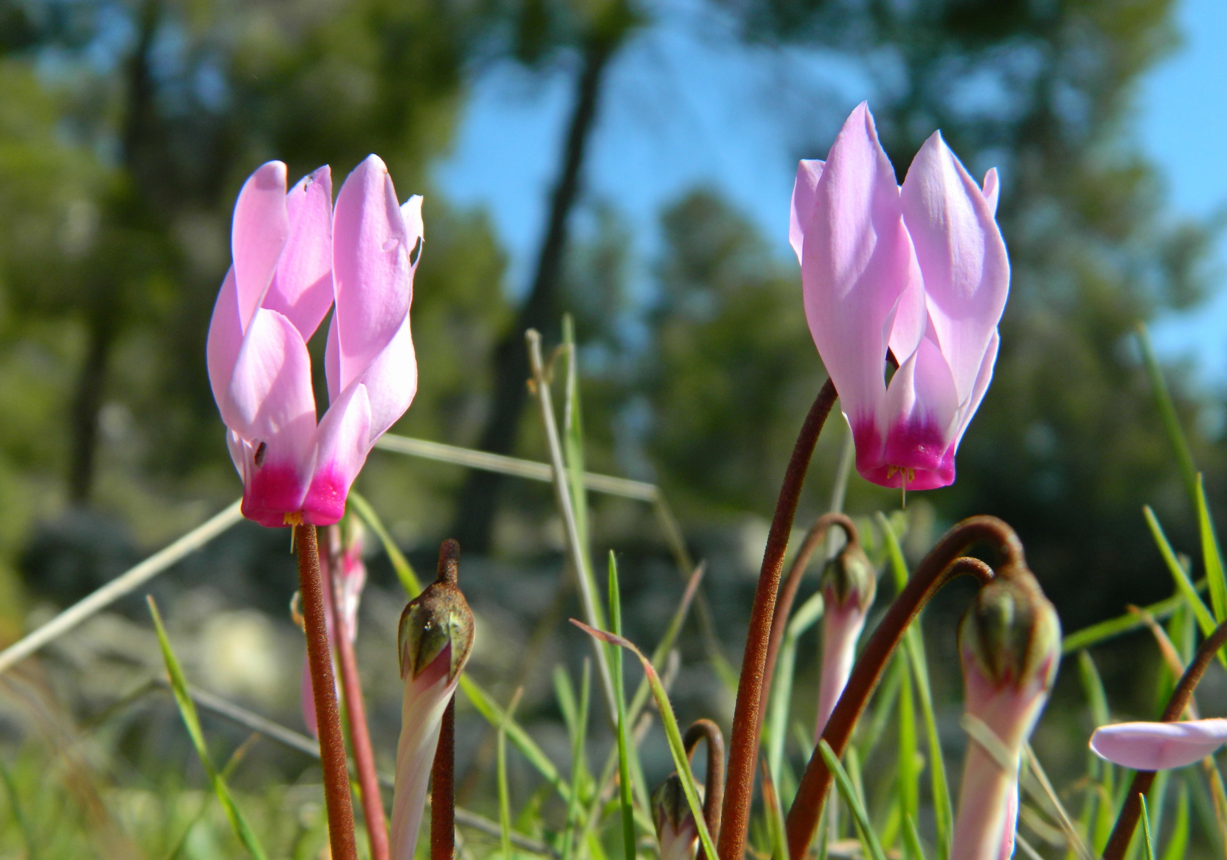
We gathered that morning at an interesting hedgehog-themed childrens park and then had an introductory talk before setting off into the urban-surrounded wilderness. We were all expecting to get a glimpse of the seventy or so mountain gazelles that call the park home, yet there was much more to be seen. We started off with glimpses of Eurasian jays, Persian cyclamens and then the upturned dirt mounds of an subterranean mole-rat in the area wooded with pine trees.

Persian cyclamens

Persian cyclamens

Leaving the pine trees, we ventured onto a dirt trail skirting the terraced land with planted olive tree saplings. Recently I learned that a large portion of the land surrounding Jerusalem is terraced for agricultural purposes, hard work done throughout history. Shmulik informed us that he had scouted ahead and found a small herd of gazelles, which we were heading to see, but paused along the way to show us elongated heart-shaped tracks in the soft orange-brown dirt.

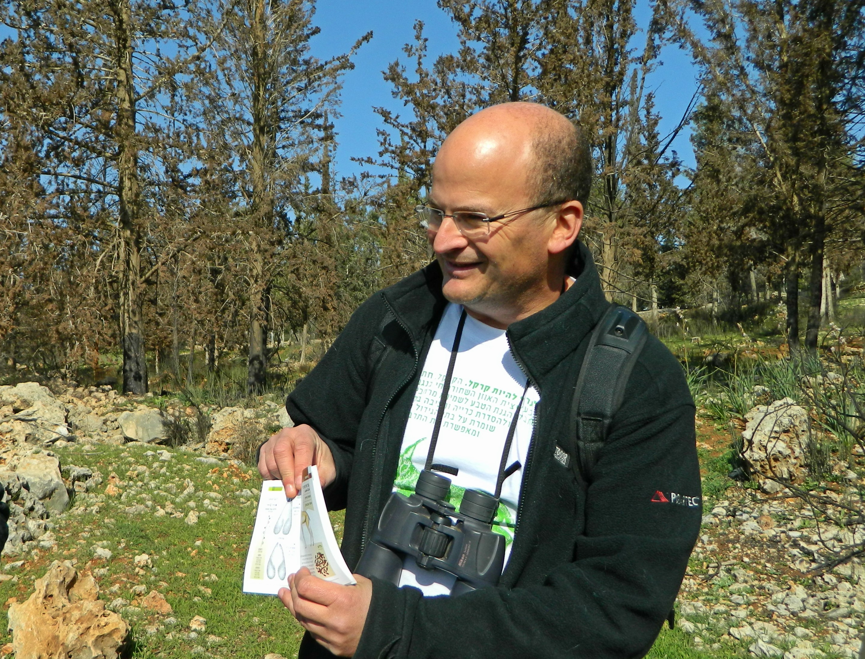
Shmulik Yedvab showing us gazelle tracks

Shmulik Yedvab showing us gazelle tracks

We learned about a project that Shmulik was involved in with the setting up of trail cams in this area to document local fauna, with an infrared option for nighttime documentation. What surprised the researchers the most was the discovery of wild boars, which is interesting because wild boars are quite common is many parts of the country, yet hadn’t been spotted in this area before the trail cam footage reveal.

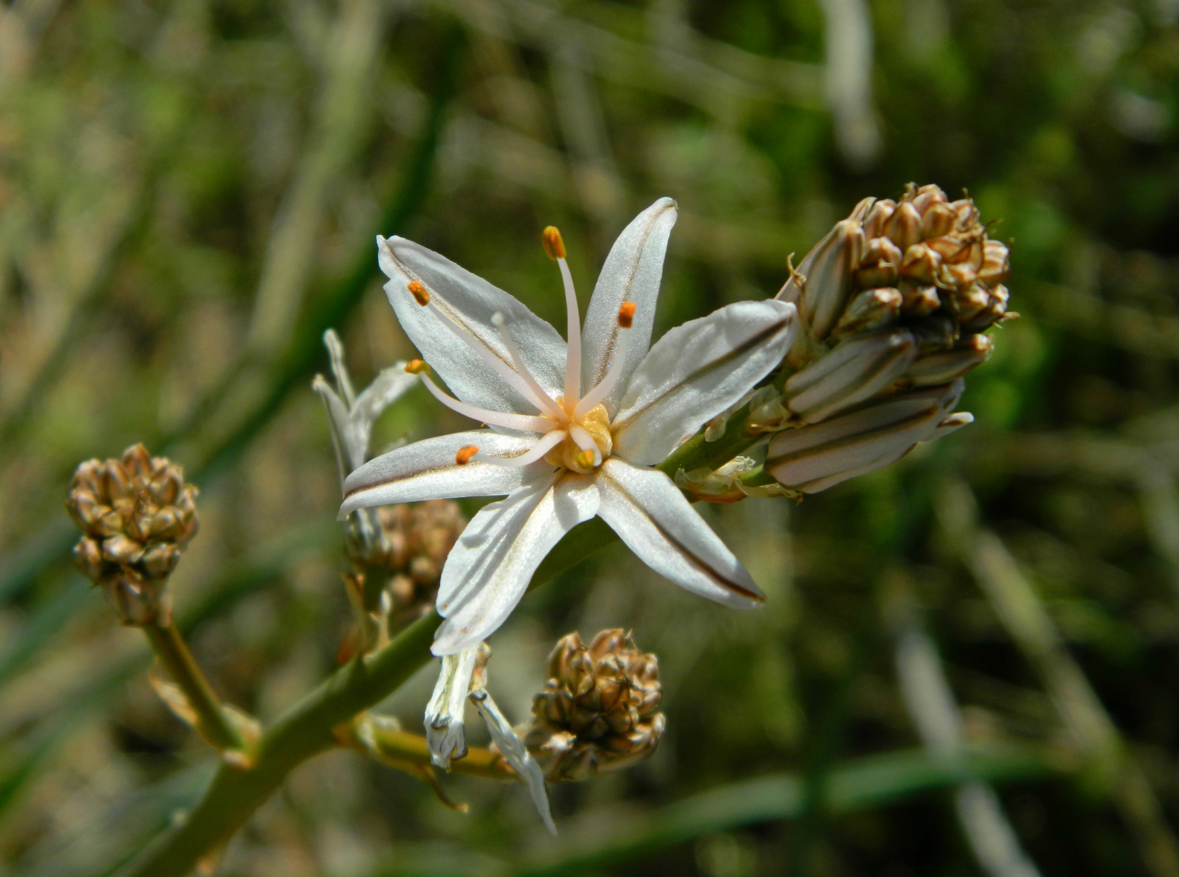
Branched asphodel

Branched asphodel

It was shortly after this that I pieced together who he was, and that I’ve been seeing his posts on the Israel wild mammals Facebook group for a good while now. Only three days before this trip, Shmulik posted a trail cam video clip with footage of a Blanford’s fox – an extremely elusive fox species that was only discovered in Israel in 1981, somewhere out in the Negev wilderness (see HERE). Speaking of videos, there’s a beautiful nature video of this very area from two winters ago, filmed by the talented Amir Balaban, naturalist and founder of the Jerusalem Bird Observatory (see the video HERE).

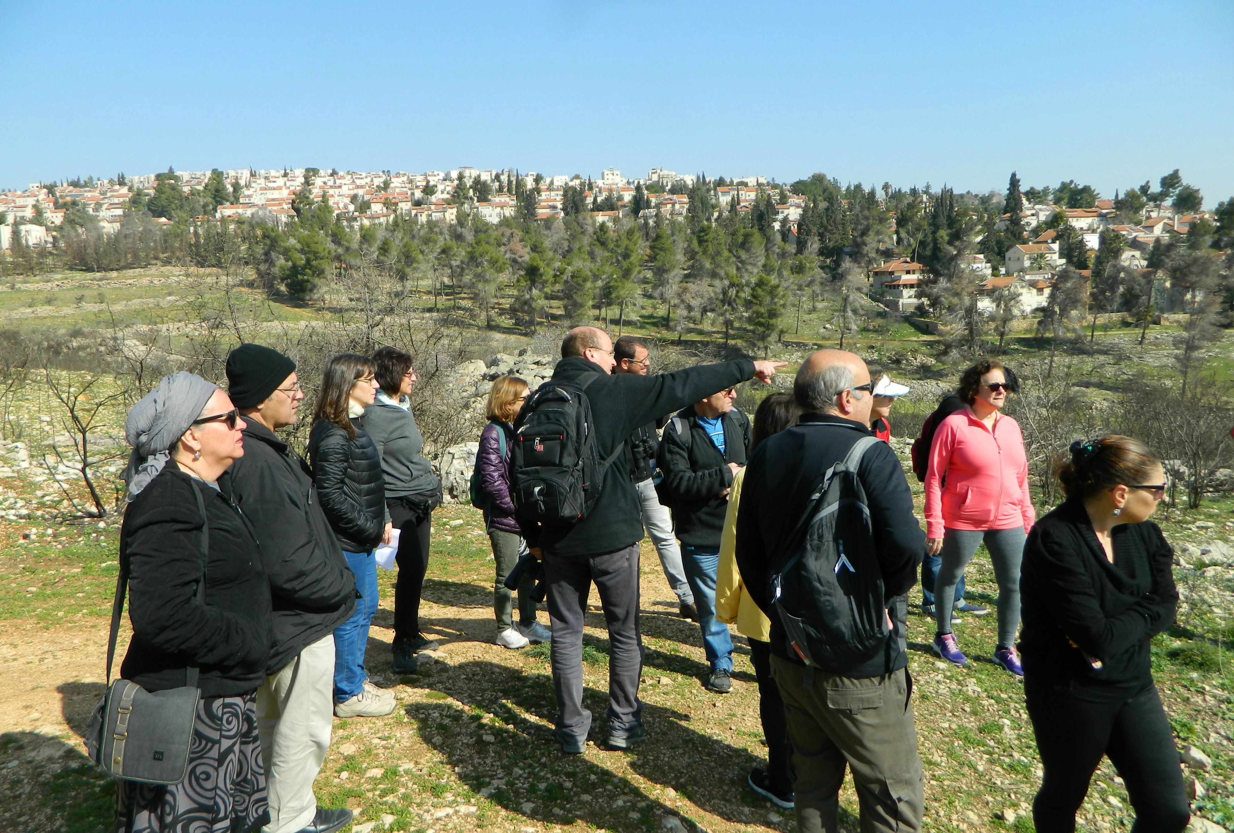
Our group of wildlife enthusiasts

Our group of wildlife enthusiasts

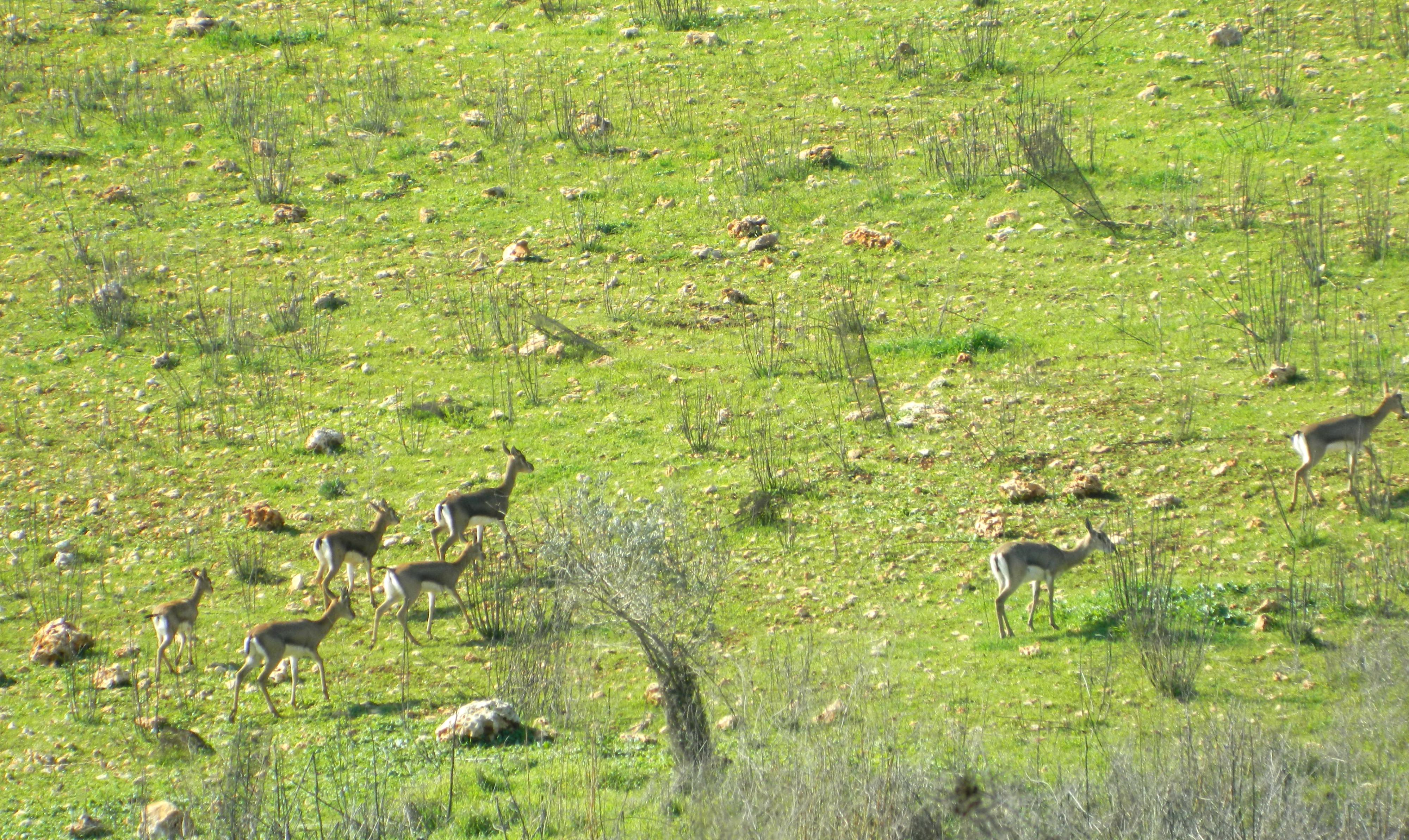
It was along this trail that Hilary pointed out the parasitic mistletoe adorned some of the trees. There was a bush fire a year or two before and, as a result, many of the trees were burnt and mistletoe seized the opportunity to flourish. Despite being Tu B’Shvat, and the plethora of blossoming seen all around the country, most of the almond trees that we saw were burnt beyond repair, some with burnt almonds adorning their blackened branches. Approaching the terraces on the right, with pine trees on the left, we spotted the small herd of gazelles grazing – with the dominant male on guard.

Gazelles on the move

Gazelles on the move

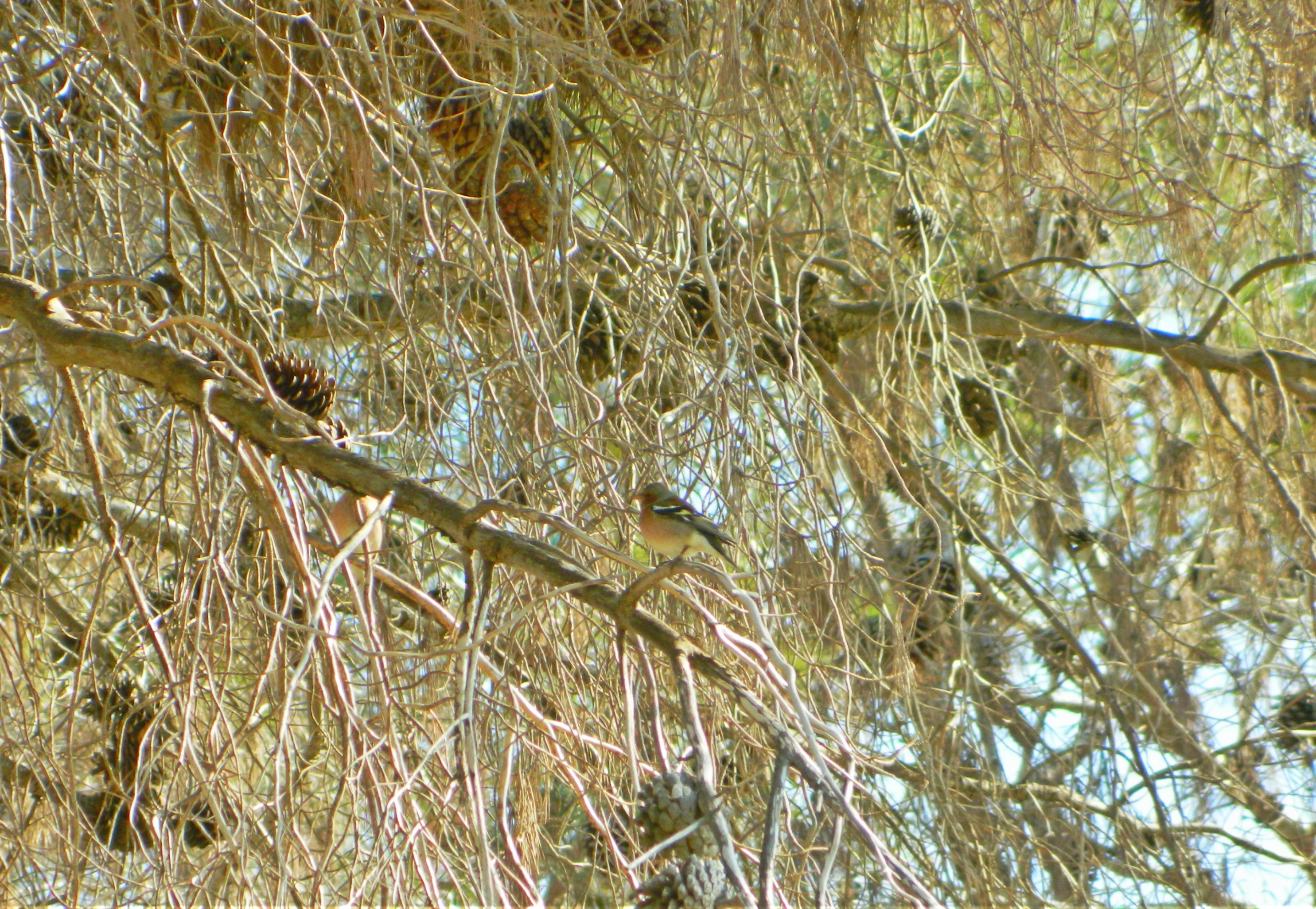
We learned about the importance of staying on the trails with these skittish creatures – and a tragic incident when a photographer ventured too close and scared off a male gazelle which “escaped” into the territory of a different male, and thereby met his death. We didn’t scare off any gazelles right then and there, but I did notice a fine looking male chaffinch in the pine trees.

Male chaffinch among the pinecones

Male chaffinch among the pine cones

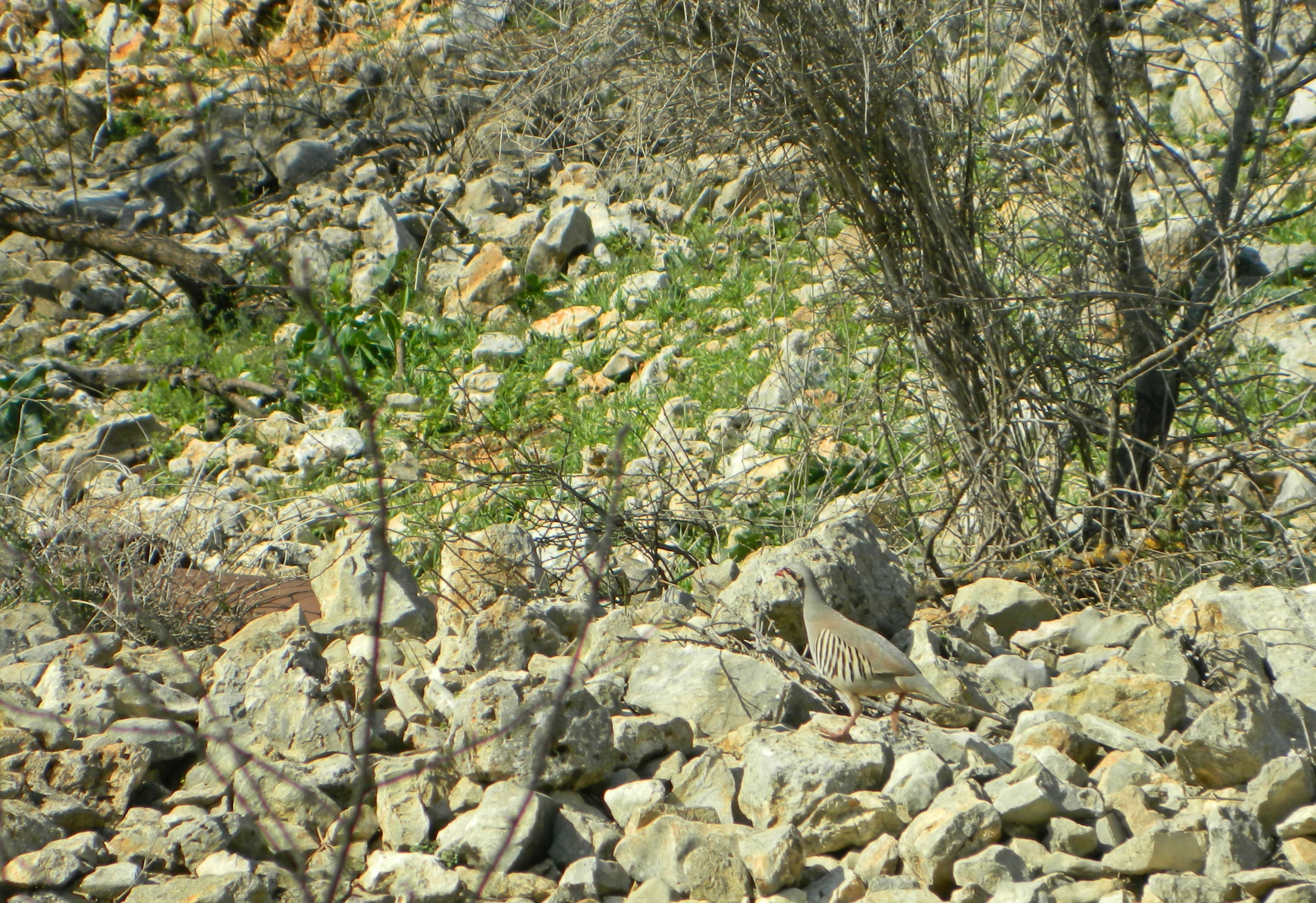
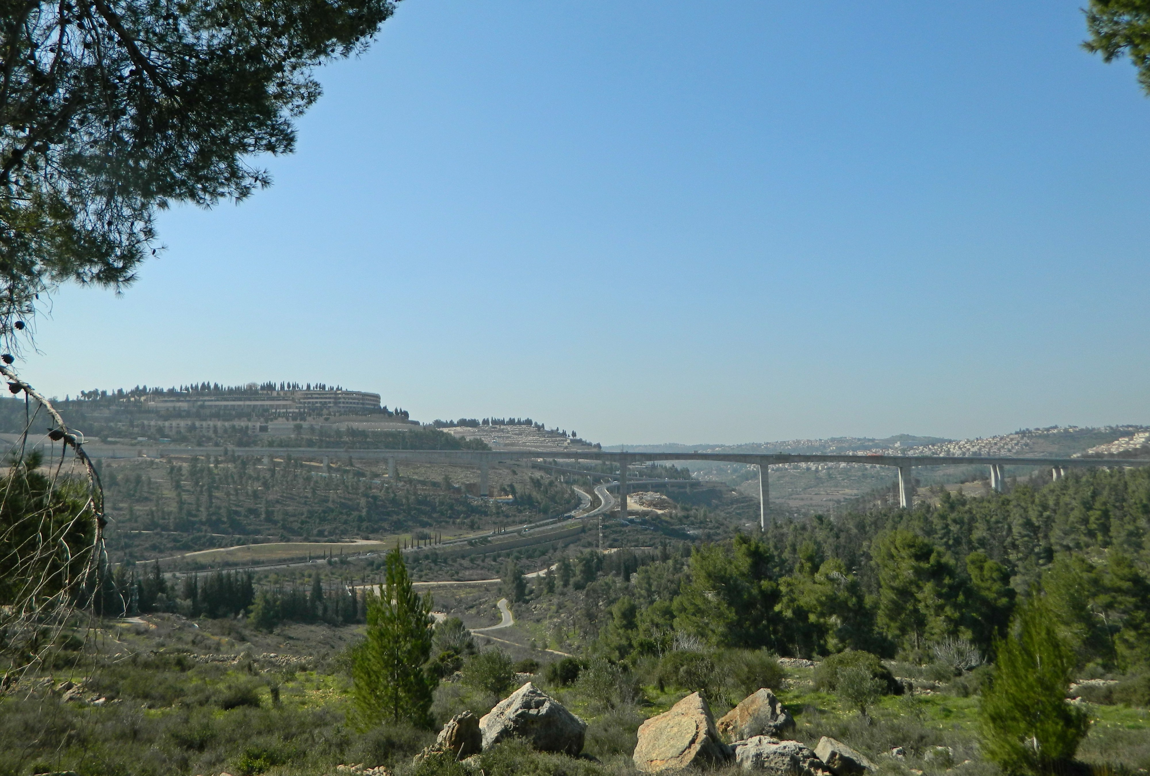
Continuing around to skirt the Neftuach lookout, we passed a few chukars, fennel plants and other interesting flora before reaching the end of the trail, with a view of the new rail bridge for the Tel Aviv-Jerusalem line, passing over Nachal Soreq.

Flushed chukar

Flushed chukar

To the right of the bridge in the Arab village of Beit Iksa, which we learned may have been named after the Roman Tenth Legion (or, Legio X in the original Latin) – the name meaning “House of Iksa” in Arabic, and “Iksa” meaning “X”.

New rail bridge entering Jerusalem

New rail bridge entering Jerusalem

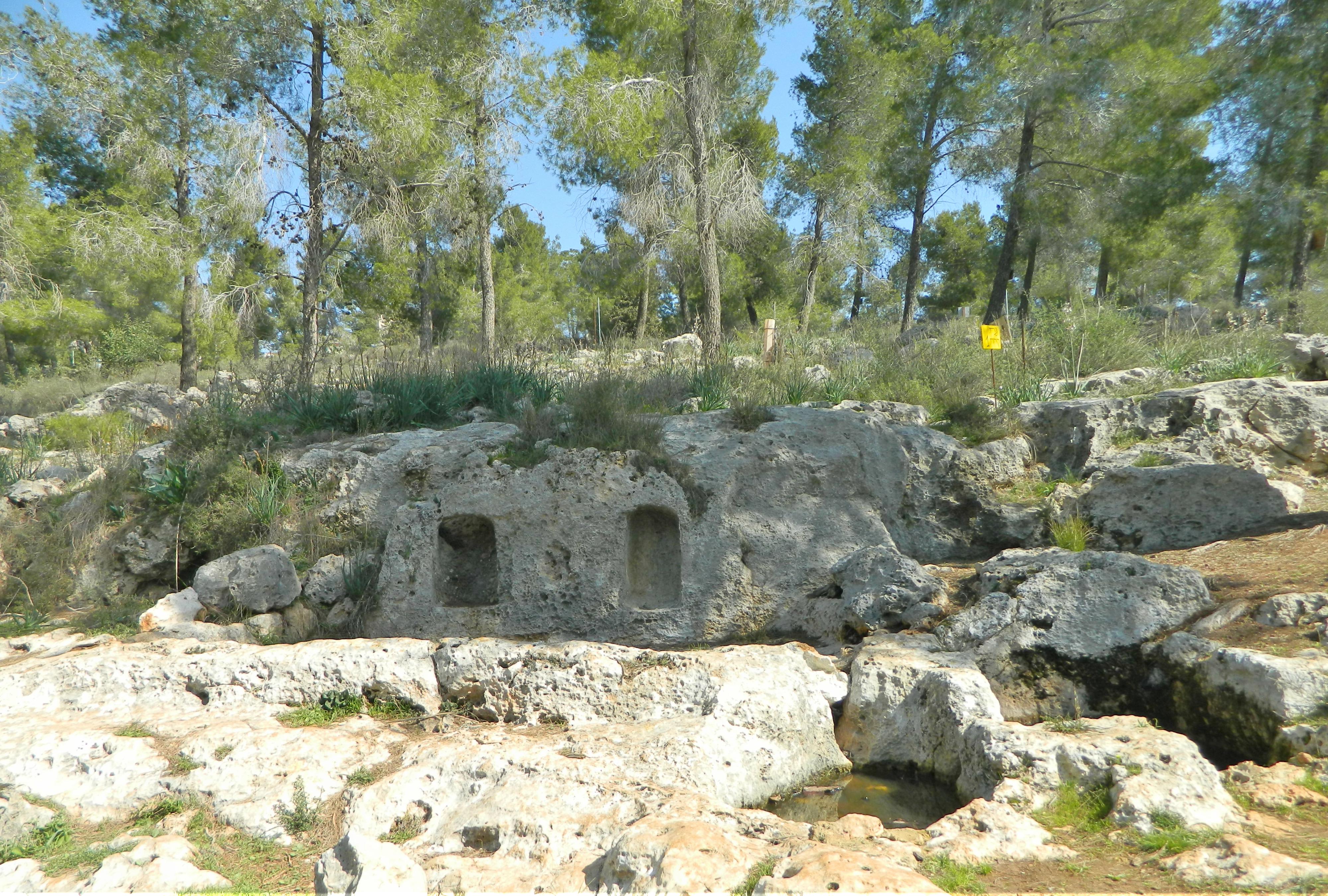
It was there that we said farewell to Shmulik and Hilary, and were taken over by another guide to see ancient ruins in the so-called Biblical Garden, in the pine forest area. We started with the first of six winepresses that date to the First Temple period – approximately 2,500 years ago. To make matters even more exciting, a Hasmonean coin was found in this particular winepress when rock-clearing was done to clean up the site.

Winepress

Winepress

The group settled down to hear more about the site, but Adam and I were still itching to get our adventure on. So we asked for directions and parted from our group to hike on over to the next site: the abandoned village of Lifta. But, before that, we owe a great thanks to Ramot for the Environment for providing us with a great morning trip full of wildlife sightings and information – we wish them much success in their ongoing battle with housing development projects in keeping the park a wildlife sanctuary, like the way it is now.

BIU Campus Birding Tour

In Central Israel, Israel on February 5, 2017 at 9:06 AM

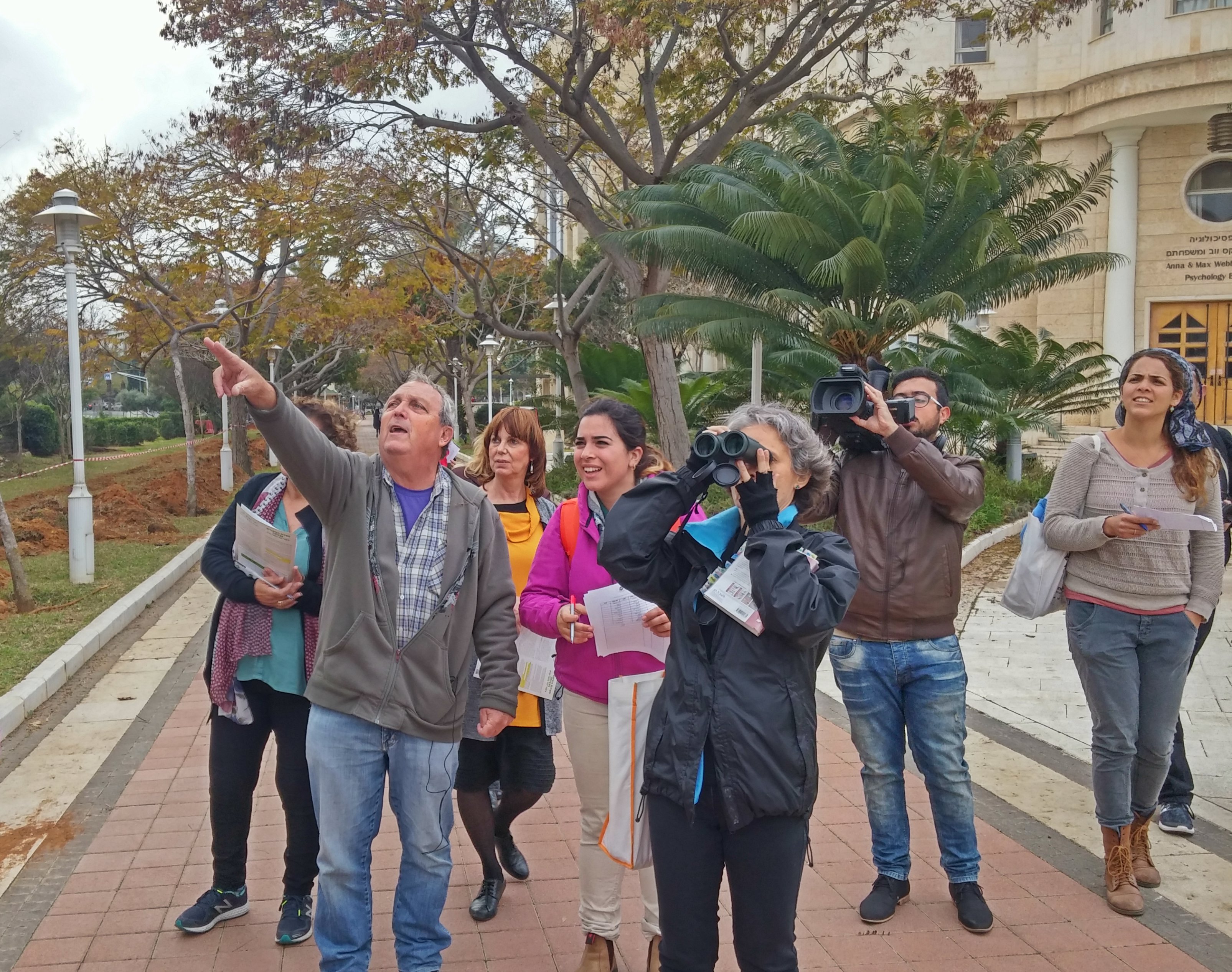
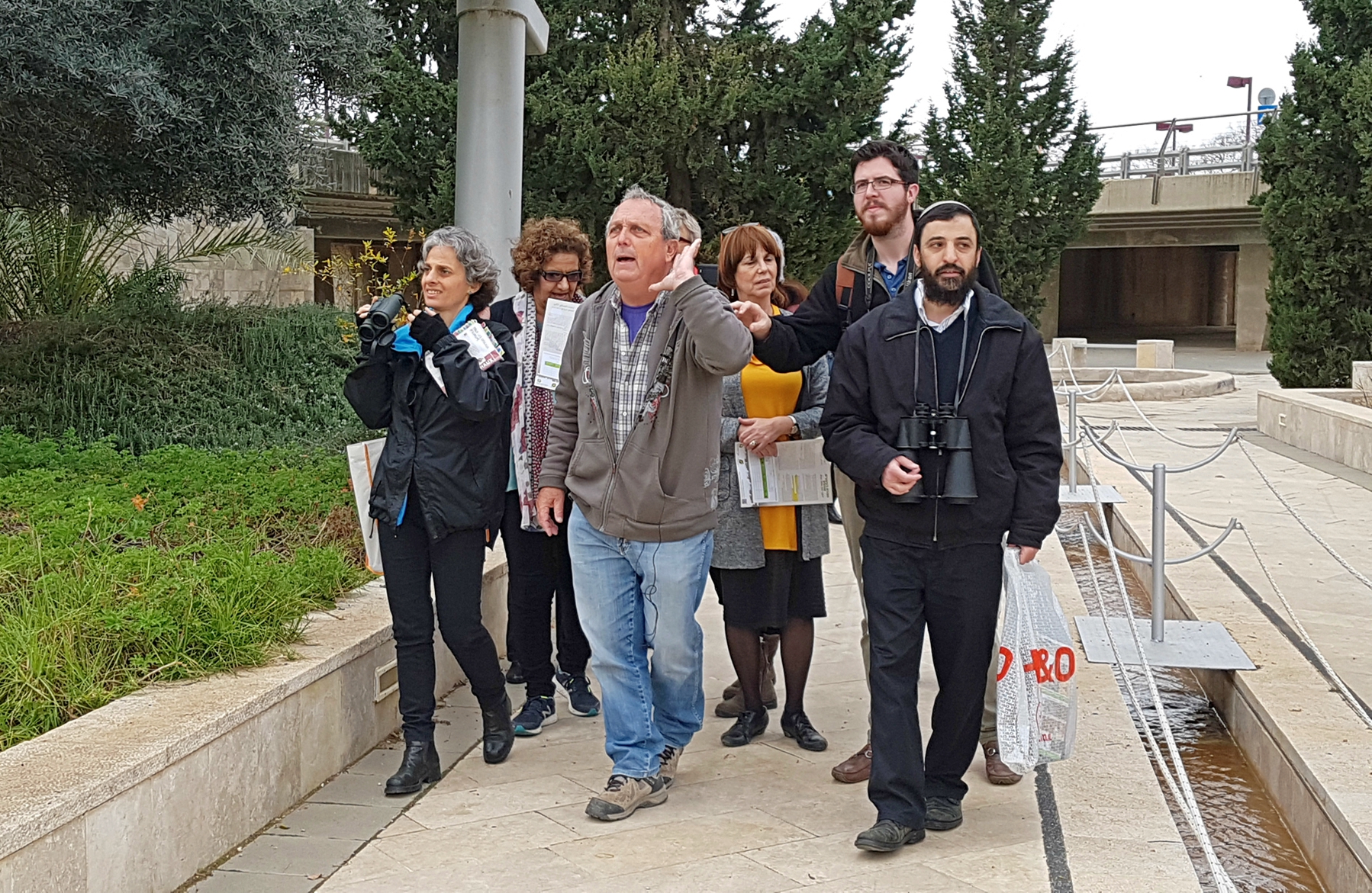
The week before last, Bar Ilan University’s campus chapter of the Society for the Protection of Nature in Israel (SPNI) offered a free birding tour. Naturally, I went along, and experienced the unexpected, much to my satisfaction. Being that BIU’s campus is situated in a very urban area, tucked between Ramat Gan, Bnei Brak and more, I wasn’t expecting to see anything other than what I see on a semi-frequent basis walking around. In due time we were introduced to our birder tour guide, Shuki Cheled, and we set off to explore the campus, with its overcast skies.

Birding outside the Psychology building

Birding outside the Psychology building

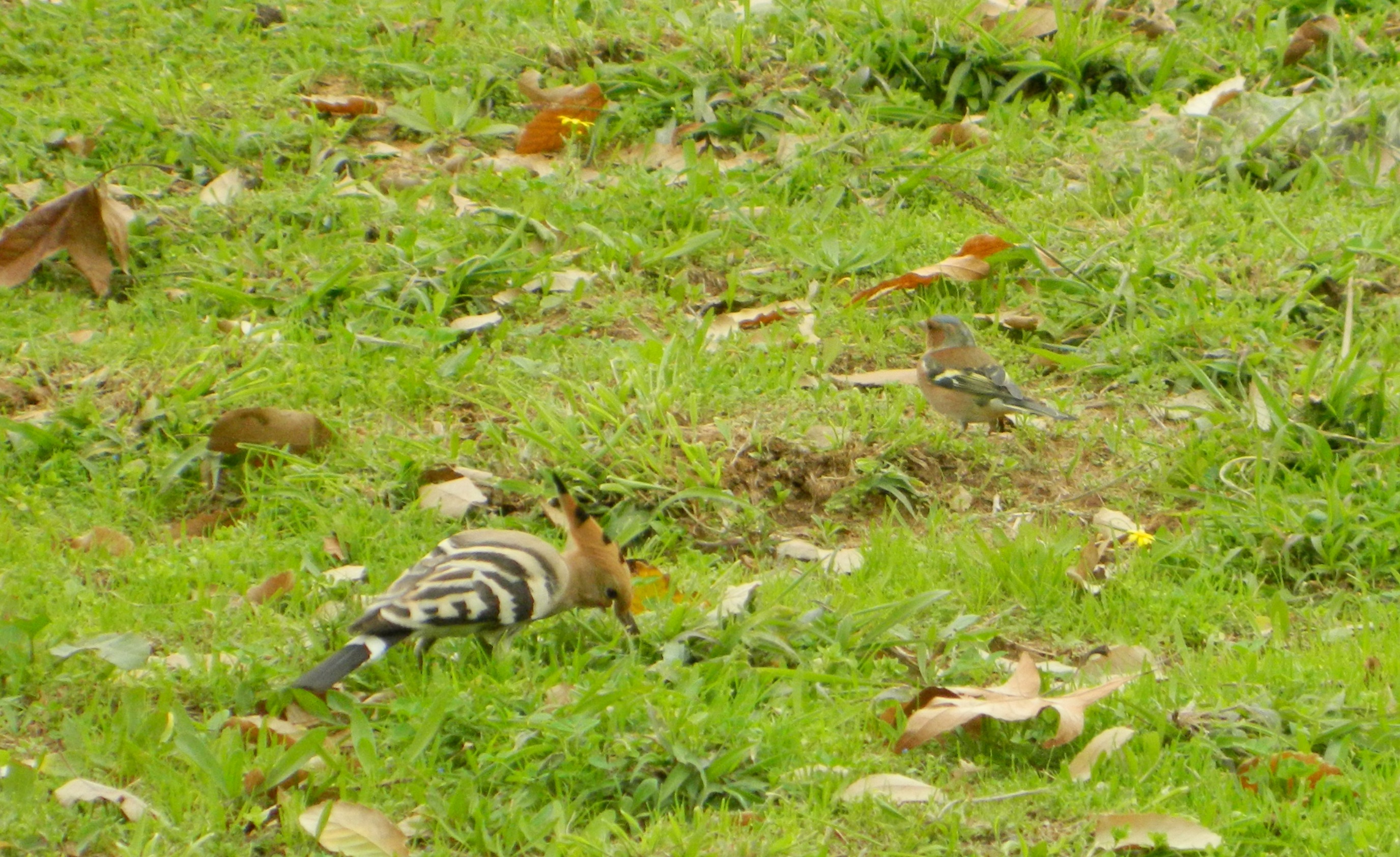
While some of us were equipped with cameras and binoculars, Shuki used just his eyes and ears to identify birds in the vicinity. At first pickings were poor, with common and invasive species such as hooded crows, laughing doves, house sparrows and common mynas. But then, a few stonechats were spotted, posing as they do, and then an uncharacteristically-bold hoopoe – Israel’s national bird.

Hoopoe & Chaffinch

Hoopoe & Chaffinch

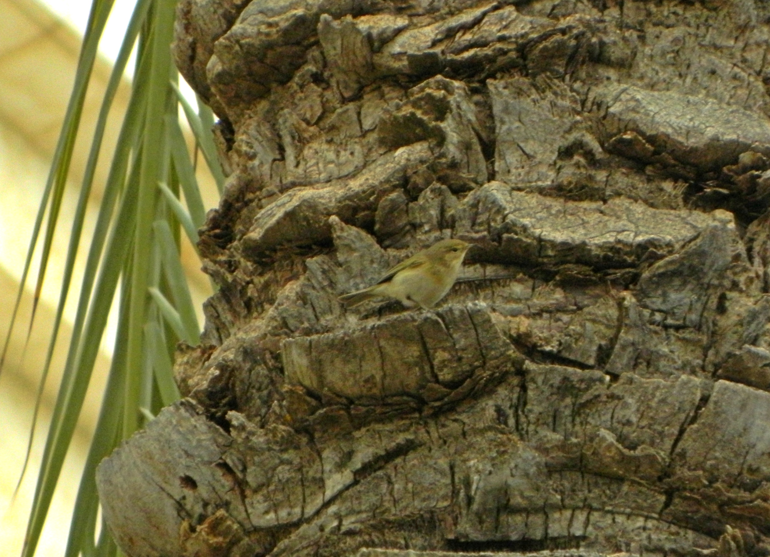
Pausing at the Brain Research Centre, we spotted an unusual species perched on a rock some ten or so metres away. Shuki seized binoculars and I ventured into risky digital zoom to discover what was determined to be a dunnock (or hedge warbler, as I’ve heard from my Hula Valley Birding Tour experience). Flitting restlessly overhead was a chiffchaff, a tiny bird weighing only about seven grams (or .30 oz). I was able to catch him taking a tiny break on the trunk of a palm tree:

Chiffchaff

Chiffchaff

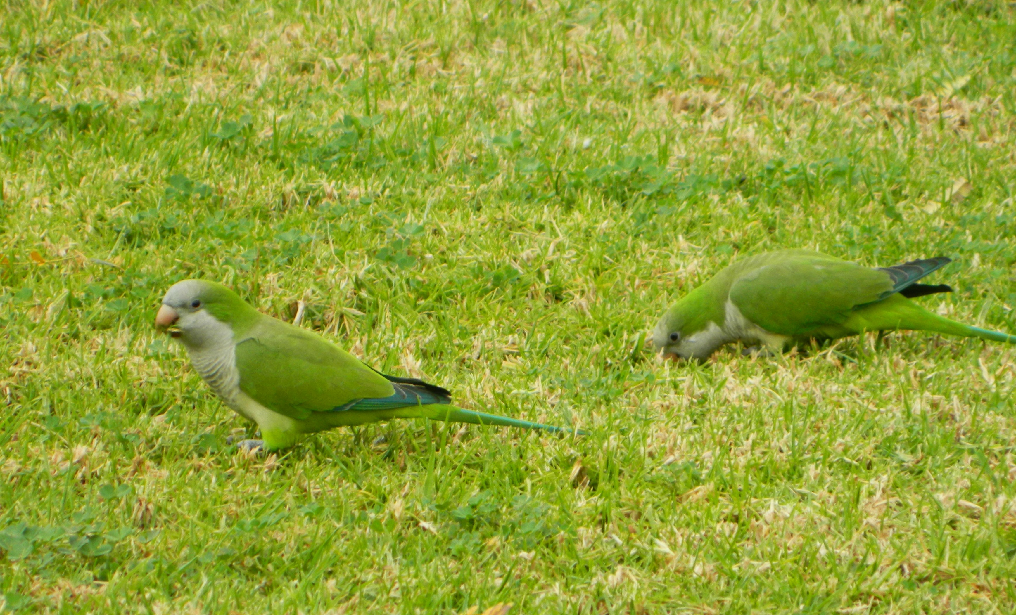
Entering the Dahan park, with its fruit trees and flowing water, we were greeted by a number of bird species. Highlights included chaffinches, greenfinches, monk parakeets and small flocks of starlings – a seemingly simple bird, but with stunning plumage up-close. While the group exchanged birding thoughts and observations I nipped over to an orange tree and picked a juicy orb, which turned out being exceedingly tart.

Monk parakeets

Monk parakeets

With the tour reaching its hour-long time limit, the official tour ended and only a few stayed on with Shuki, including your truly. But first, an amazing photo capturing a wide range of activities and emotions by Faith Baginsky.

Hark! (photo Faith Baginsky)

Hark! (photo Faith Baginsky)

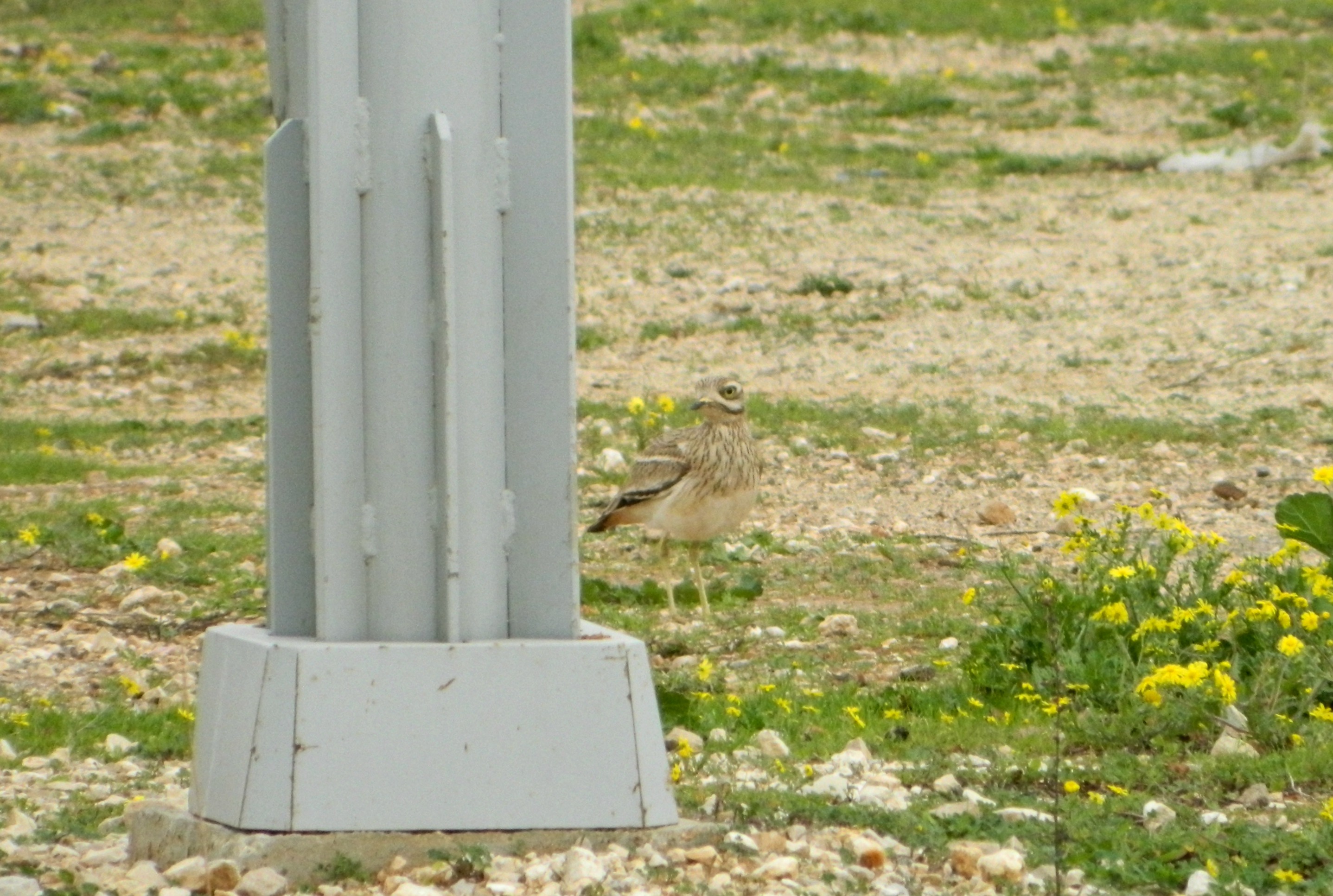
We next paused at the gravelly parking area in the Engineering and Technology regions, spotting a group of jackdaws (which I automatically assumed were “boring” hooded crows). Next, taking a few steps forward, I flushed out a whole bunch of stone curlews who were standing mere metres away yet completely camouflaged. Here I caught one trying to hide behind a lamppost:

Stone curlew

Stone curlew

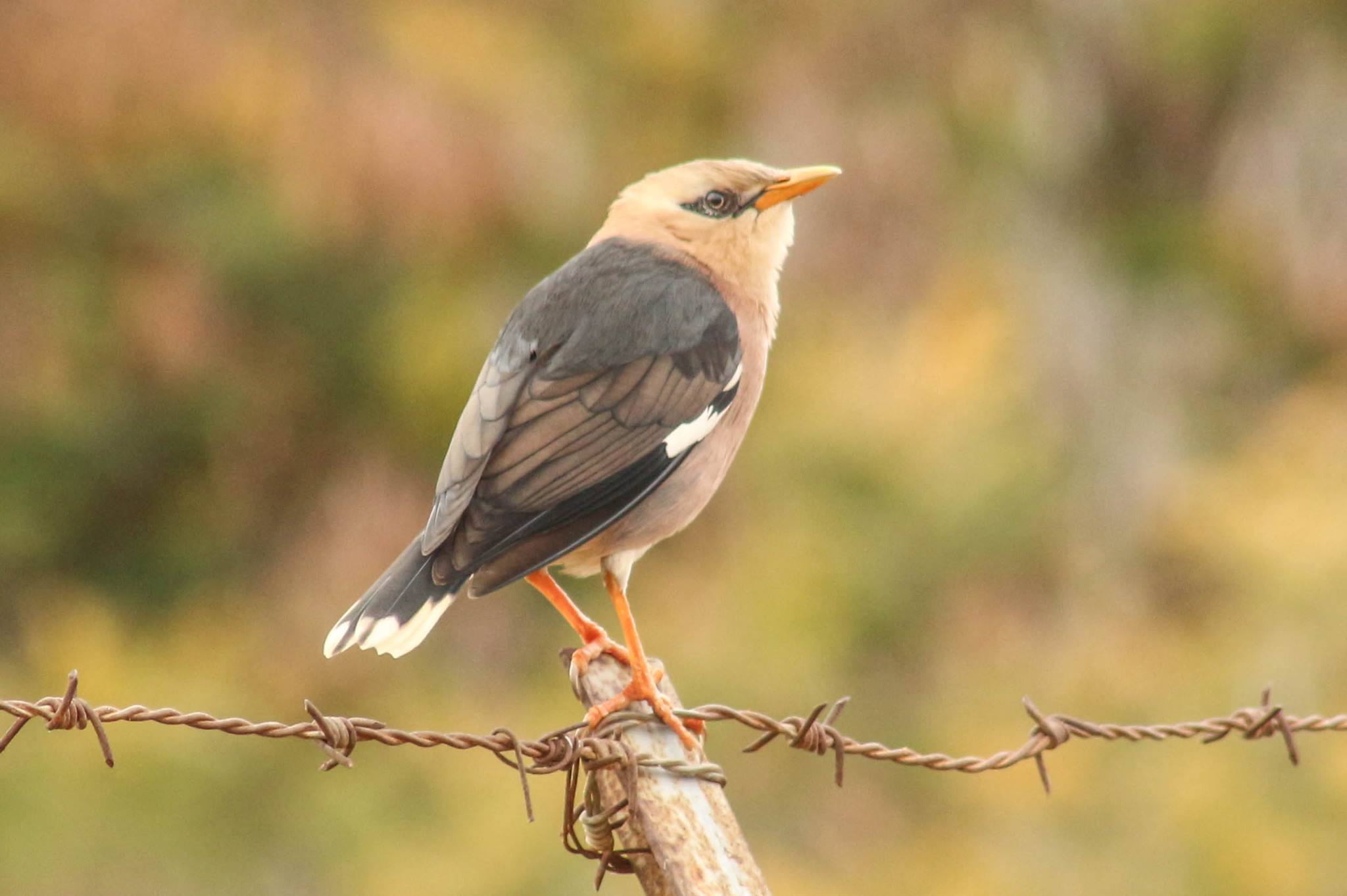
Continuing along the campus road, we saw a whole assortment of birds I would have never noticed beforehand, despite the fact that I consider myself an amateur birder. Standing behind some tall bushes we were able to watch chaffinches (the males have really nice plumage) and hoopoes from an eye-level vantage point. Then, as the tour continuation was coming to an end we saw what seemed to be Spanish sparrows and then another invasive species from India, the vinous-breasted starling, far less prevalent than its cousin, the common myna. I was able to procure this stellar photograph of the starling perched on a barbed wire fence by fellow tour participant Ami Vardi.

Vinous-breasted starling (photo Ami Vardi)

Vinous-breasted starling (photo Ami Vardi)

The overcast skies had darkened and the first drops of rain began to fall upon us, threatening our birding equipment. Content with the twenty-something species we’d seen and identified, I bid farewell to the remaining members and set off to my next activity of the day, bottling my latest batch of beer, IPAeus I.

video

Shortly after the writing of this blog, a video of our birding tour was publicised by the Bar Ilan University Spokesman office, just click on the photo above or see the video HERE.


University Trip: Arava III

In Israel, Negev on January 29, 2017 at 11:40 AM

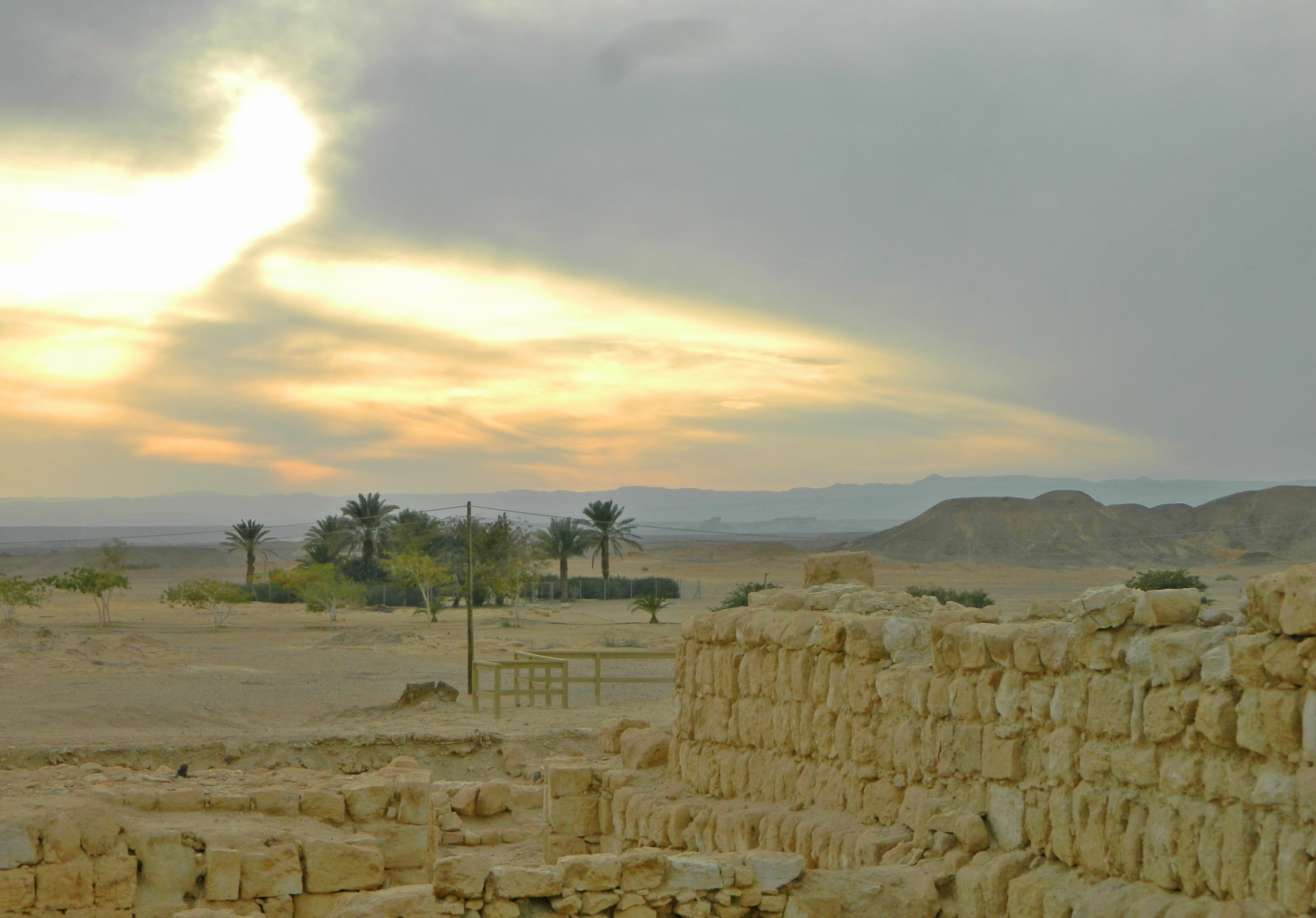
Wrapping up our two-day trip to the Arava (I & II) under the behest of Bar Ilan University’s Archaeology department, we found ourselves leaving the gorgeous Timna Park and headed for our next destination: Tamar. A slightly obscure site that still found itself maintaining importance for thousands of years, Tamar is located alongside the kibbutz-cum-settlement of Ir Ovot in the northern part of the Arava (20km from the Dead Sea). Arriving sleepily at Tamar after the bus ride, we disembarked and prepared ourselves for a long tour of the site. We started at the northern corner, a corner tower of the ancient Israelite fortress.

Tamar the desert fortress

Tamar the desert fortress

Just to give a quick historical summary: Tamar was first established as an fortress by the Israelites, becoming a site of regional importance due to its strategic location and control over the freshwater spring. Tamar was expanded from fortress to fortified city over the following two hundred years or so. The city was abandoned after the Babylonian conquest of the Holy Land, to be taken control of by the Nabatean hundreds of years later, using it as a fortified stop on their Incense Route. In the 200-300s CE the Romans built their own fortress and bathhouse on the site, among other buildings.

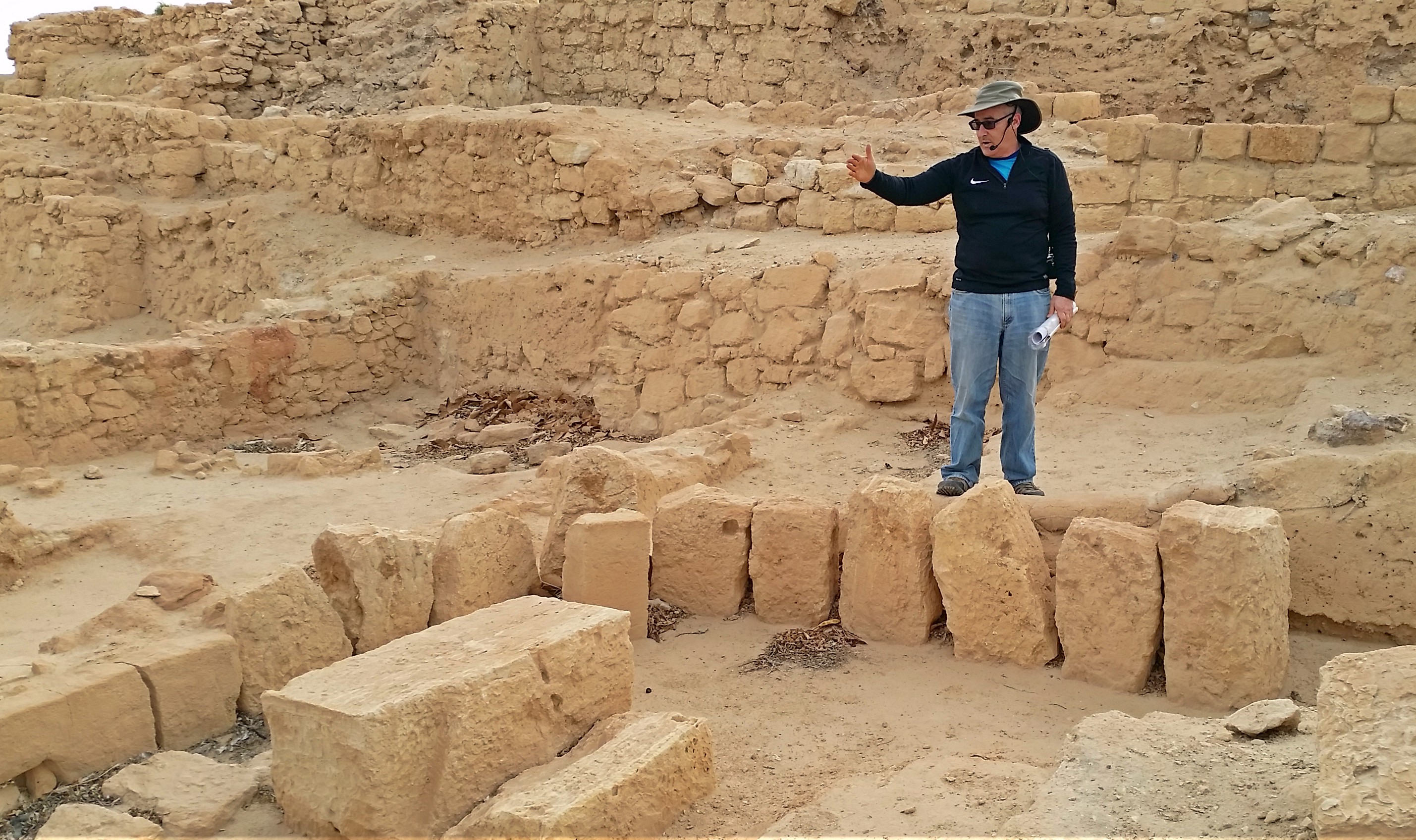
Prof Aren Maeir speaking from within the ruins

Prof Aren Maeir speaking from within the ruins

There was then a period of general disuse and eventually the site became the location for a British Mandate police station; a drinking trough built to water their horses coming in from dry desert rides. In modern times, a group came to settle the south and built a small community next to the expansive ruins, naming it Ir Ovot. An organisation named Blossoming Rose, a non-profit based out of the USA, has undertaken restoration and conservation efforts to make the site the pleasant place it is to visit today.

Yours truly exploring the ruins (photo Yehushua Lavy)

Yours truly exploring the ruins (photo Yehushua Lavy)

Leaving my group to explore on my lonesome, I walked from the northern corner to the western corner, under the waving Israeli and American flags. On the way, I entered the modern military bunker, with explanatory photographs and maps on the walls in the simple underground room. From the western corner I swung southeast along the excavated city walls. I paused briefly to photograph a small drab bird that was flitting about a tree – a streaked scrub warbler. Dropping down a level I found myself looking at a large, impressive jujube tree.

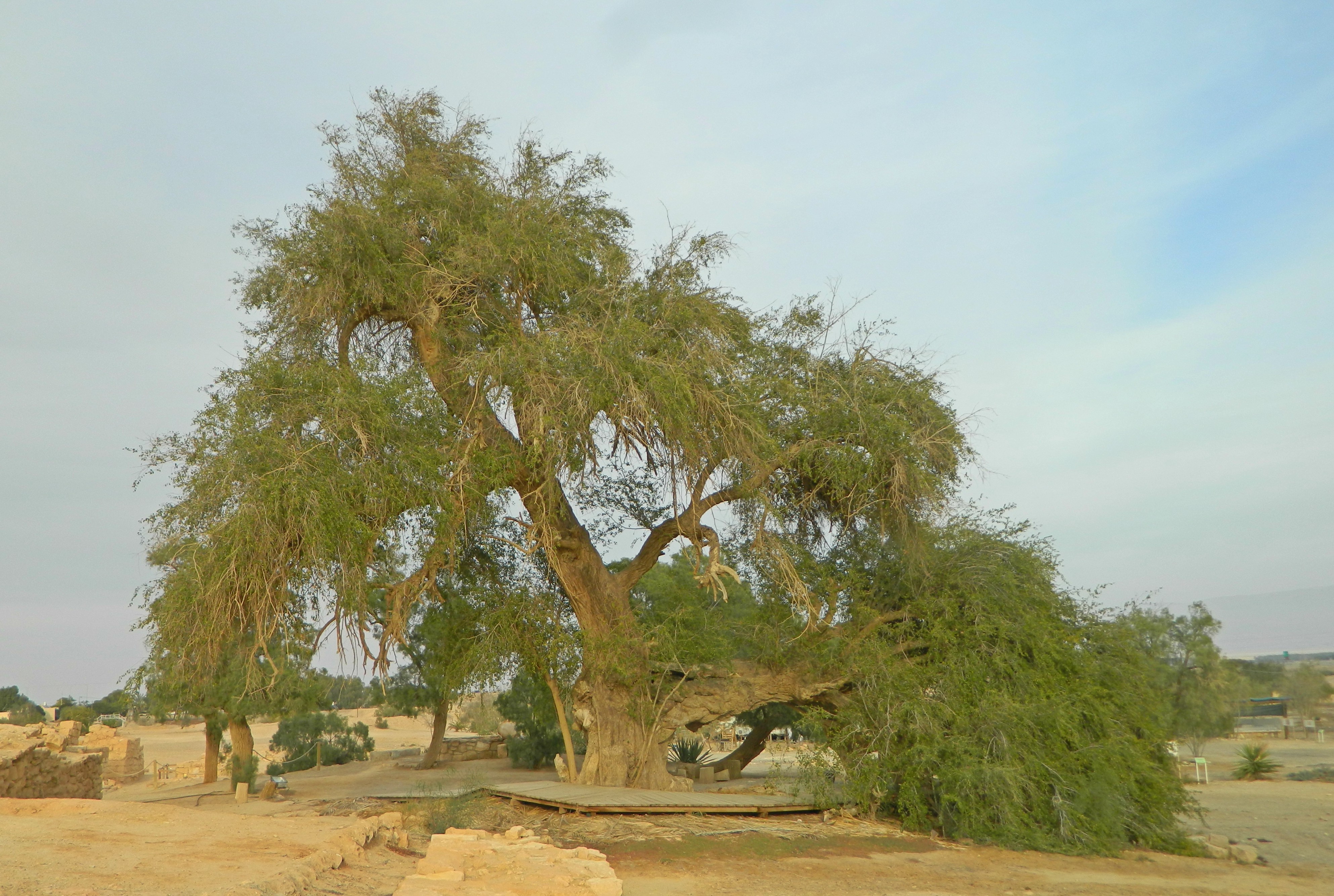
Ancient jujube tree

Ancient jujube tree

Despite the popular rumours that this particular tree is over 2,000 years old, the tree is indeed old, but a more logical 500 or so years old, or so I believe. Skirting the decked trunk, I walked out the see the Roman bath ruins, reminding me of the intricate ruins at Bet Shean and Caesaria that I’d seen the previous years.

Roman bathhouse floor

Roman bathhouse floor

From the Roman ruins I walked over to a model version of the Israelite mishkan (temporary temple before the First Temple), a tribute to the possibility that the mishkan once stood at this very site (biblically known as Ovot). From the mishkan model I found myself approaching the British Mandate concrete drinking trough with its engraved Arabic graffiti; water being fed in via a duct stemming from the large well metres from the jujube tree.

Water for the British horses

Water for the British horses

Passing the through fortress ruins I spent a few futile minutes trying to photograph sunbirds feeding on a flowering bush with the blurred backdrop of the tour company.

Waiting for sunbirds...

Waiting for sunbirds…

Walking back out to the site’s perimeter, I retraced the steps of my colleagues and entered the main gate of the Israelite fortress. From the Israelite fortress I examined the ruins of a Roman cistern and interesting building strata. Rejoined with the group at the British police station, I enjoyed their company until we ended the tour, heading back to the buses for a quick drive over to the final stop on our two-day trip: the Vidor visitor centre at Moshav Hatzeva.

Vidor visitor centre

Vidor visitor centre

Being that the Arava is an unlikely yet highly successful agricultural centre in Israel, a visitor centre was opened to educated the general public as to the techniques and tribulations of desert agriculture. We learned that these days Russia is the biggest importer of Arava-grown citrus fruits, which are interestingly sweeter due to the slightly salty water pumped from desert wells (a form of compensation of sorts). At the culmination of the slide-show lecture we were taken outside to the greenhouses to be taught more, with demonstrations of flower genders and talks of pollination.

Learning about blossoms at dusk

Learning about blossoms at dusk

Unfortunately, the sun was slowly sinking over the horizon and it was hard to get many decent photos of the greenhouse fun that we had. With the classic desert night chill setting in, the Archaeology department’s volunteer hero swooped in with hot drinks and soups to both warm and nourish us before our long drive back to the Tel Aviv area, the end of yet another successful educational trip provided for us by Bar Ilan University.

University Trip: Arava II

In Israel, Negev on January 22, 2017 at 11:45 AM

Continuing with Day 2 of the Archaeology department of Bar Ilan University’s annual two-day trip to the Arava, we awoke in the desert just after dawn. I set my alarm clock a tad earlier than everyone else in my room to snatch some early morning birding. And the birding inside Kibbutz Elifaz didn’t disappoint – I spotted a good twelve species, including some highlights: red blackstart, blackstart, chiffchaff and a whole bunch of Spanish sparrows.

Spanish sparrow

Spanish sparrow

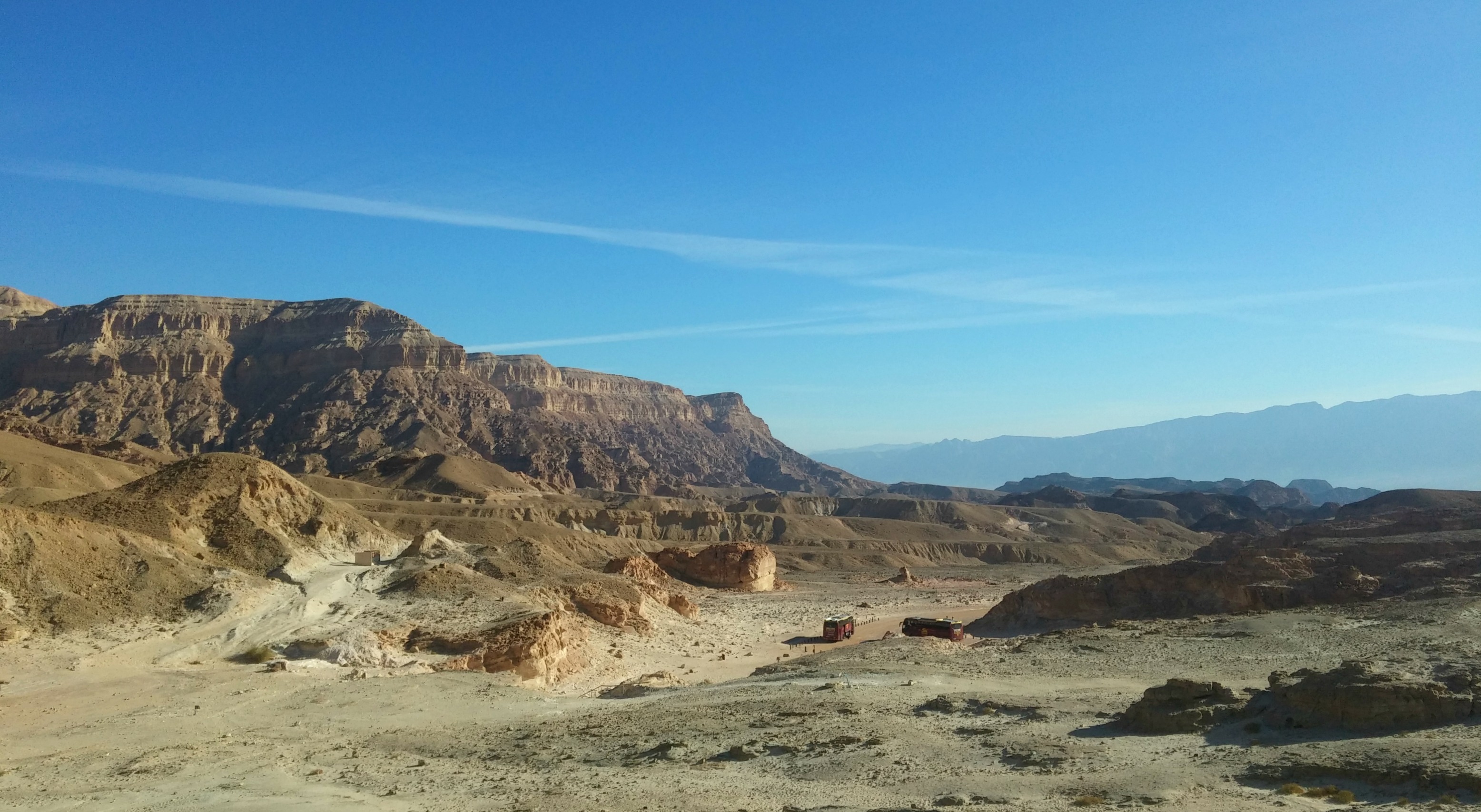
After morning prayers and breakfast (and chancing upon the kibbutz’s Druze members) we boarded the tour buses to start a long day of desert touring. Our first stop was mere minutes away, Timna Park, with its breathtaking landscape and intriguing historical remains.

Timna views

Timna views

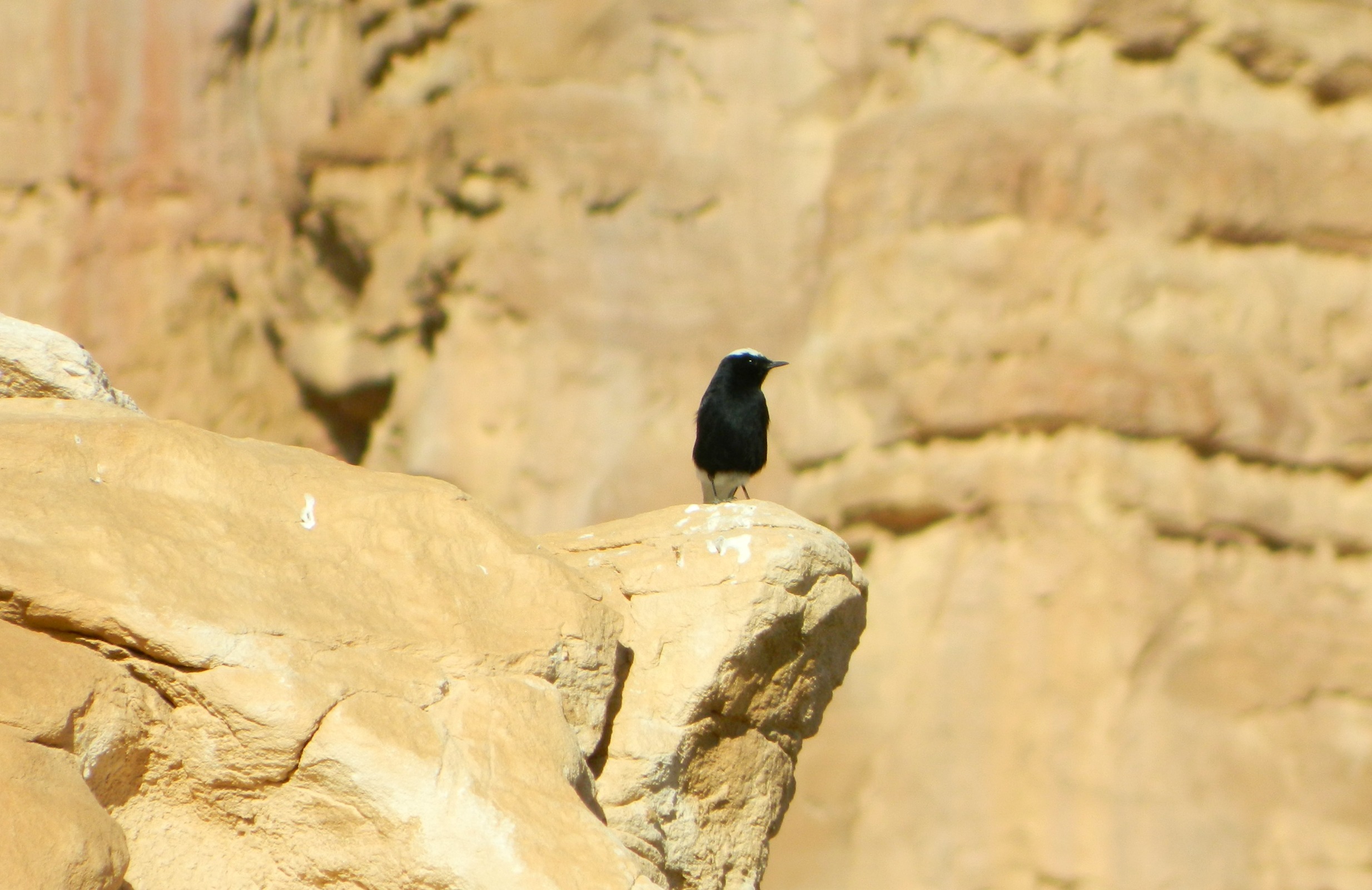
Entering the park we parked outside the copper mines area, where I saw a bold white-crowned wheatear and a desert lark.

White-crowned wheatear

White-crowned wheatear

What caught my eye next was beautifully compelling; oxidised copper residue streaking through the erosion-sculpted yellow and pink sandstone. All over I’d find these eye-popping green traces, sometimes in the form of grainy pebbles.

Oxidised copper in the stone

Oxidised copper in the stone

Walking along the trail, I marveled at the ancient mining shafts that were pointed out to us, remains of some of the world’s oldest mines. Originally these mines were thought to belong to King Solomon, and were named as such, but recent developments shed light on evidence that the mines were, in fact, Egyptian, dating back to the 12th and 13th centuries.  In the vertical shafts, hand and footholds were scraped out of the grainy rock walls, enabling miners to safely descend tens of metres into the rock strata to reach the veins of copper. Baskets were lowered into the mine shafts to remove both copper ore and waste materials.

Horizonatal mineshaft

Horizonatal mineshaft

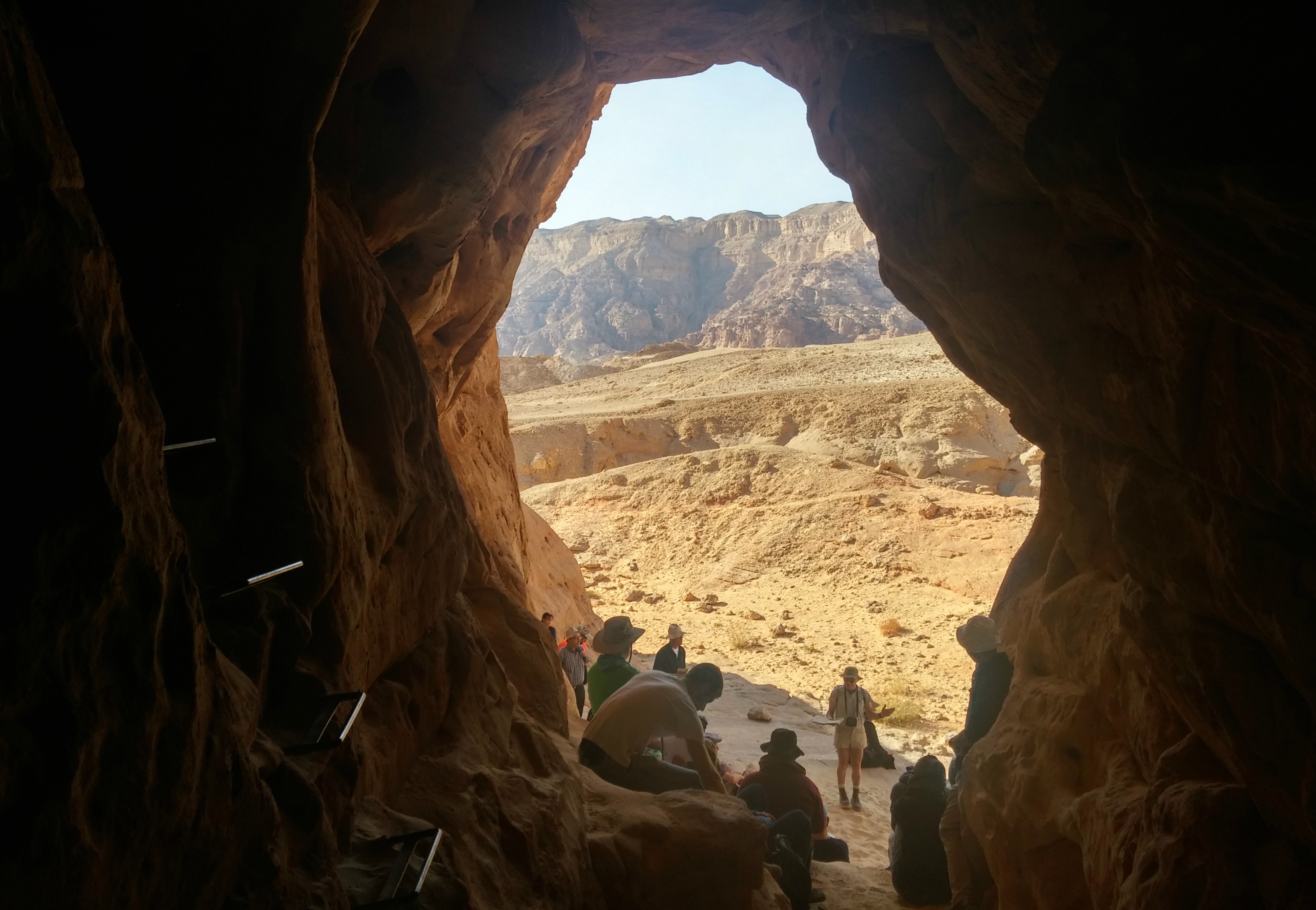
Hiking up, down and around the irregular landscape, we then arrived at what is known as the Miners Cave. A natural cave with a mine shaft excavated within the cave itself, we settled down to listen to Dr Uzi Avner.

From within the Miners Cave

From within the Miners Cave

One of the mine shafts at the cave, located just outside the entrance, was filled in for likely religious reasons – to pacify the Egyptian gods (perhaps Geb, god of the Earth). Climbing the opposite hill, we were soon to see many filled-in shafts, identifiable by their plate-like appearance on the otherwise grainy, gravel-strewn ground. There are thousands of these mine shafts, mostly filled in, in the Timna area – an impressive operation.

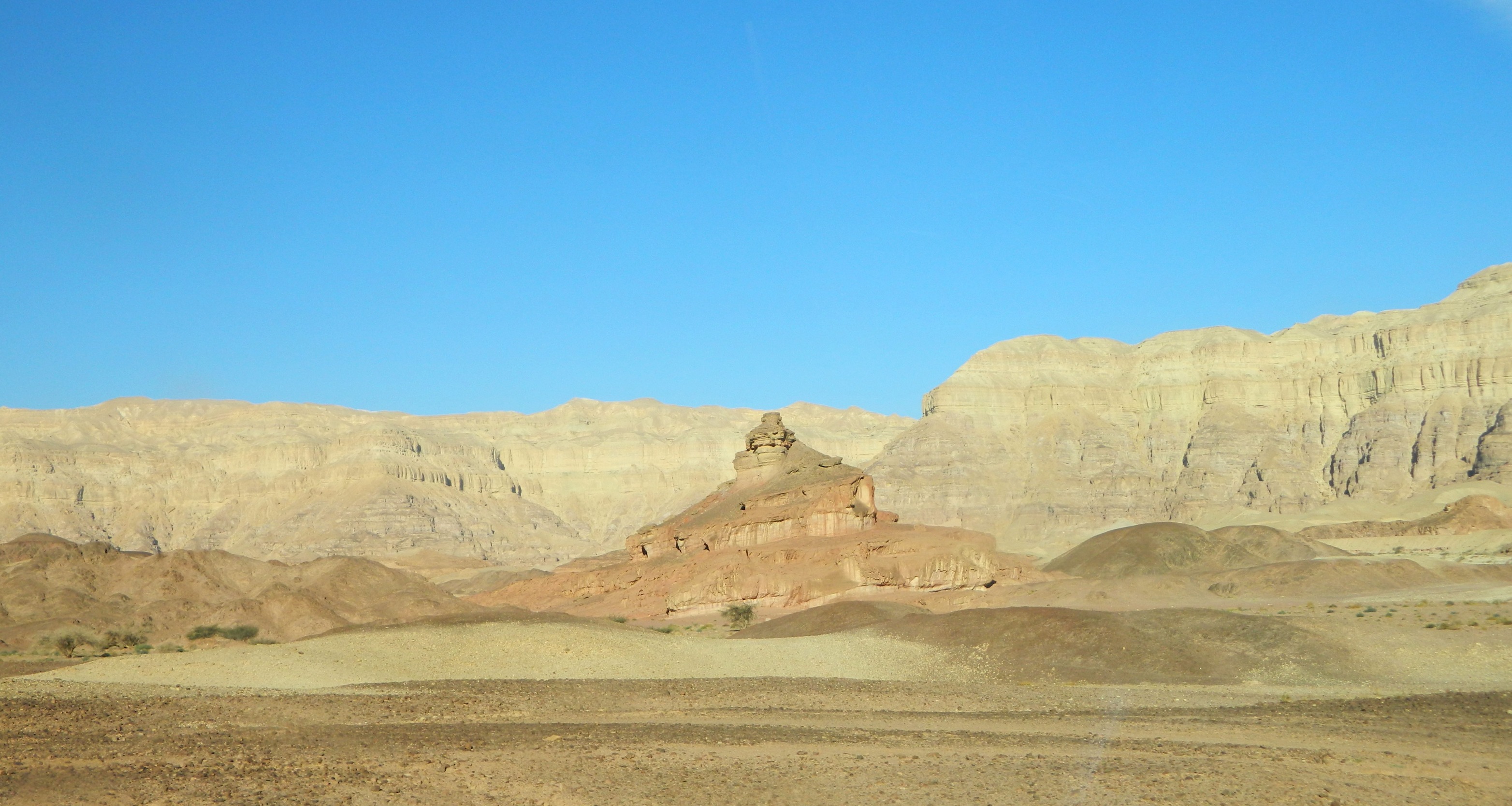
Timna's screw-like Spiral Hill

Timna’s screw-like Spiral Hill

Spotting a brown-necked raven perched on a ridge far away, I reluctantly abandoned the bird to follow the group towards the next site of interest: a complication of mines from various periods located around a wadi. Seizing adventure where I could, I entered and exited each of the caves and mine shafts that I deemed worthy of exploring, before we headed back to the buses.

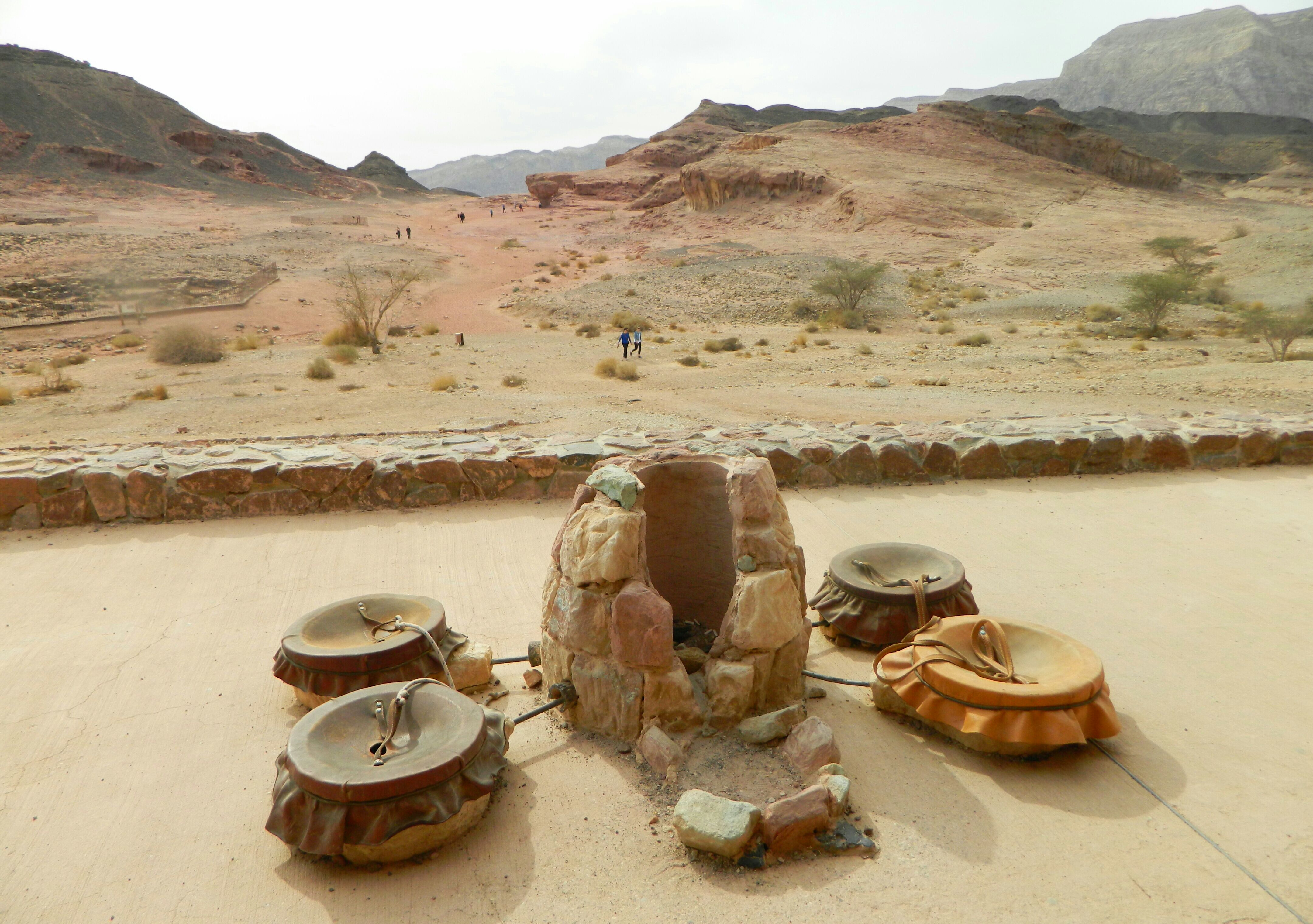
Mushroom and Smelting Camp

Mushroom and Smelting Camp

No, our tour at Timna wasn’t over yet – in fact, it was just beginning. We were then driven to a site known as the Smelting Camp and nearby geological oddity, the Mushroom (seen in the centre of the background in the above photo). Standing on the lookout over these two sites, we heard more from Dr Avner, watched sunbirds frolic in the sparse desert flora and then got back into the buses to be taken to the next location: Solomon’s Pillars.

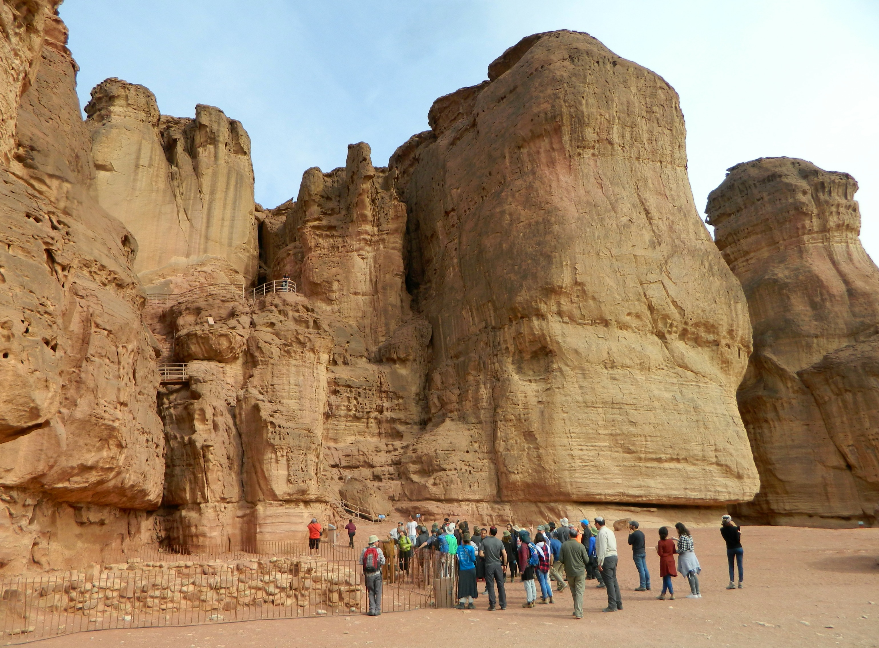
Solomon's Pillars by Hathor's Temple

Solomon’s Pillars by Hathor’s Temple

Now, the area of Solomon’s Pillars was jaw-droppingly awesome; the smooth, reddish-pink sandstone cliff edge of Mount Timna. Stricken by the natural beauty, I walked quickly across the sandy ground towards the cliff base, where an ancient Egyptian (and later, Midianite) temple was excavated. Called Hathor’s Temple, or the Miners’ Temple, this house of worship was built by Egyptian mining expeditions to service the goddess of miners, Hathor.

Hathor's Temple

Hathor’s Temple

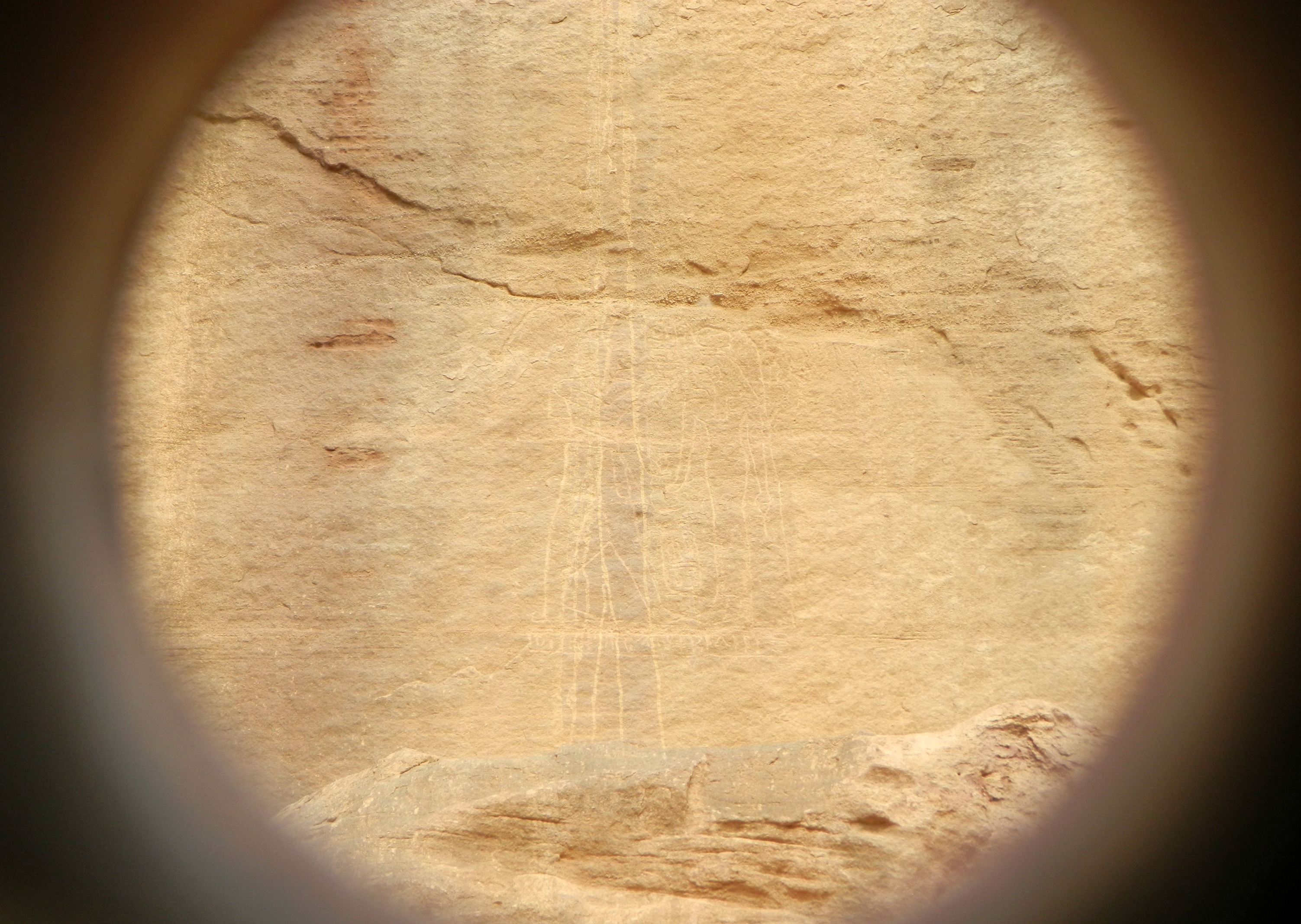
Climbing up the cliff with the aid of carven stairs in the pink sandstone, my eyes were beset by a glorious desert view and then the curious ancient Egyptian wall engraving. Scratched into the rock, the engraving is from the 12th century BCE featuring Ramses III (left) making an offering to the goddess Hathor with an inscription below in hieroglyphics that reads: “The Royal Butler the Justified Ramessempre”. Because the detail is hard to see in the photo below, here is an illustration of the engraving from the Biblewalks website: see HERE.

Egyptian wall engraving

Egyptian wall engraving

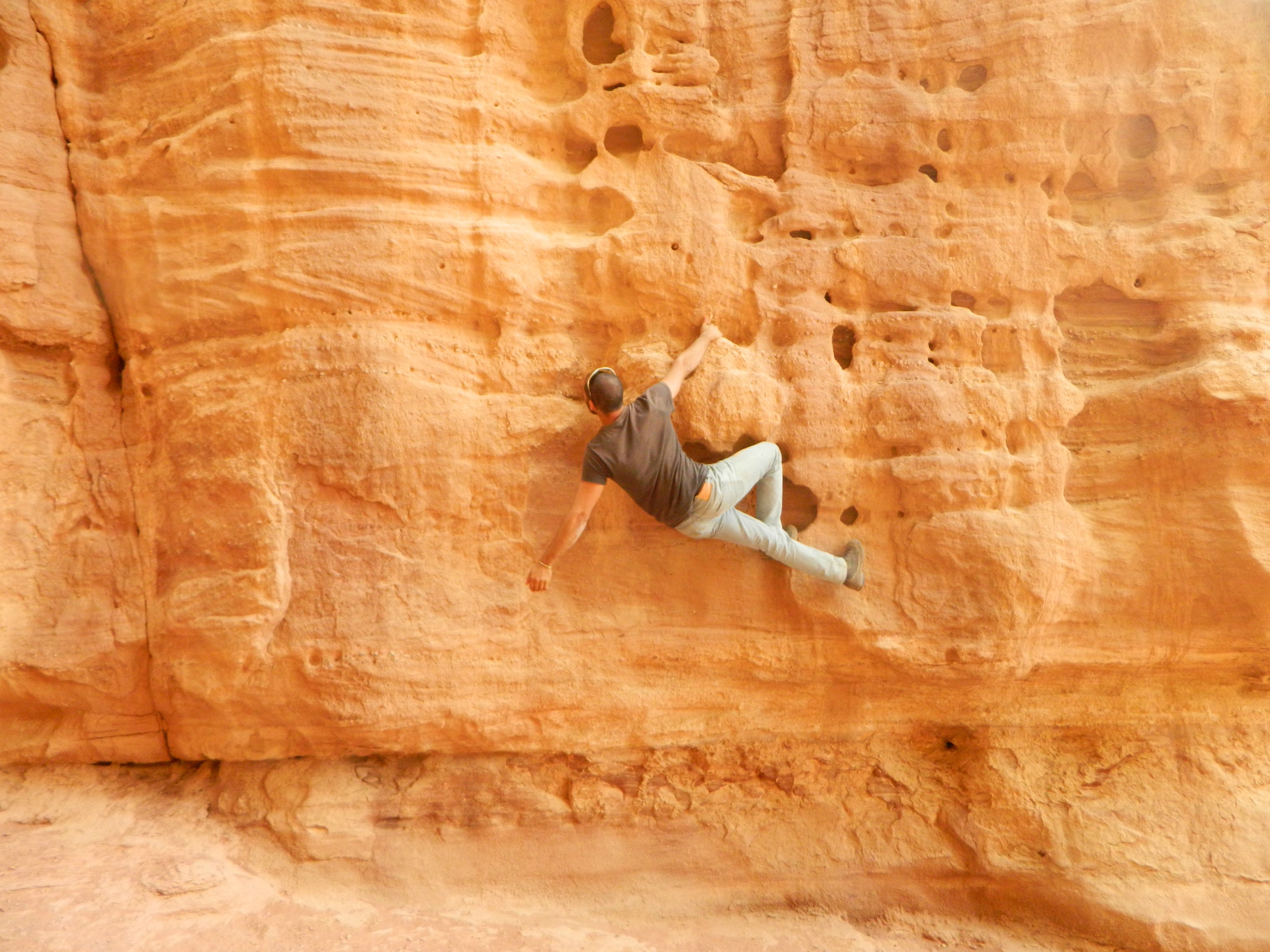
This compelling rock engraving reminds me of the the life-size Roman soldier in regalia carved into the cliff wall at Nachal Kziv – something not many people know about (which can be seen HERE). Leaving the heights with its incredible view I looped back around the bottom of the cliff to rejoin the group, and then off to photograph a wee bit of free-climbing.

A bit of free-climbing

A bit of free-climbing

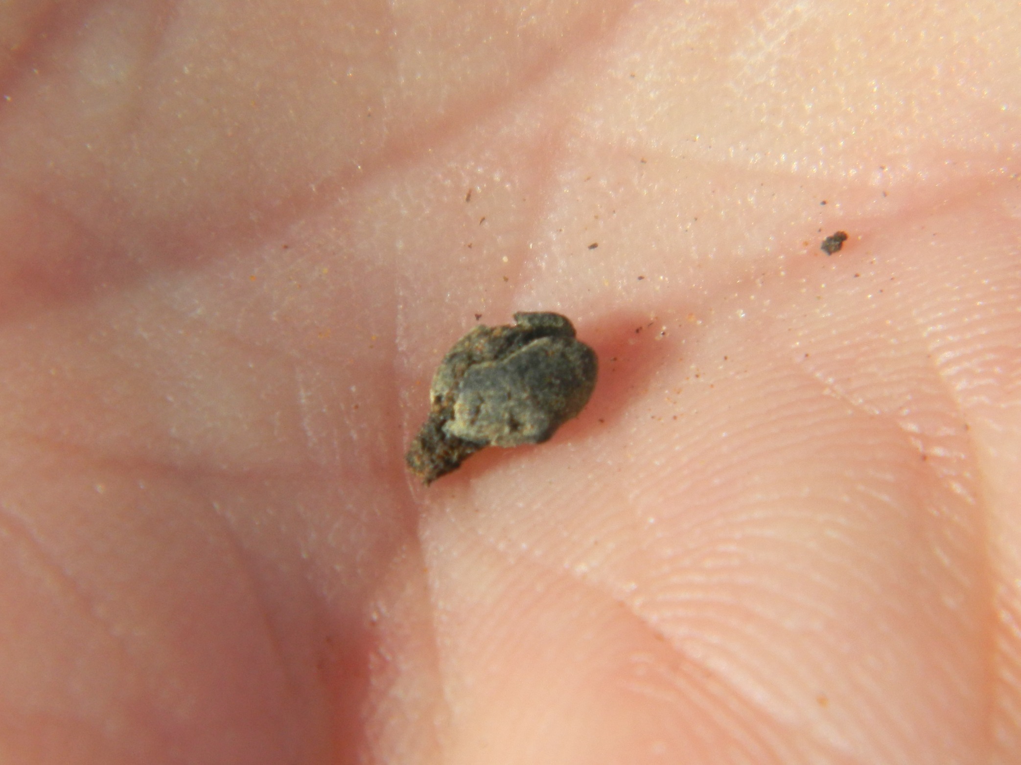
Across from Solomon’s Pillars is a small butte of sorts by the name of Slaves’ Hill, where archaeological work was done. On the short hike over, some of our party quenched their thirst on the sweet juice of pomelos gifted to us by the kibbutz; one of their agricultural exports. We climbed the hill to take in the views, and to watch ravens patrolling the adjacent cliff edge. Remains of what seems to be a gate and walls were uncovered, as well as organic materials – including an ancient grape seed that was found by Uri, a prominent member of our party.

Ancient grape seed

Ancient grape seed

As interesting as a preserved grape seed is, there was something even more interesting – a littering of slag (copper ore waste, in this case) covering the ground from the smelting actions done thousands of years ago.

Slaves' Hill lecture

Slaves’ Hill lecture

Descending from Slaves’ Hill, we made the trek back to the buses. But first, a posed photo of me:

Posing at Solomon's Pillars

Posing at Solomon’s Pillars

We were to leave Timna, sadly, without having seen all the magnificent sights as we had to head to the next site on the list: Tamar.