Just over a month ago the Mechina for Olim (a preparatory course for immigrants) in Bar Ilan University, which I am taking alongside Archaeology classes, provided us a trip to Masada and the Dead Sea. We amassed outside the university gate in the wee hours of the morning and boarded the two buses hired to take us on our trip. That particular night and morning thereafter had uncharacteristically thick fog, so dense that the driver was forced to slow down considerably.
Masada and the Dead Sea before dawn
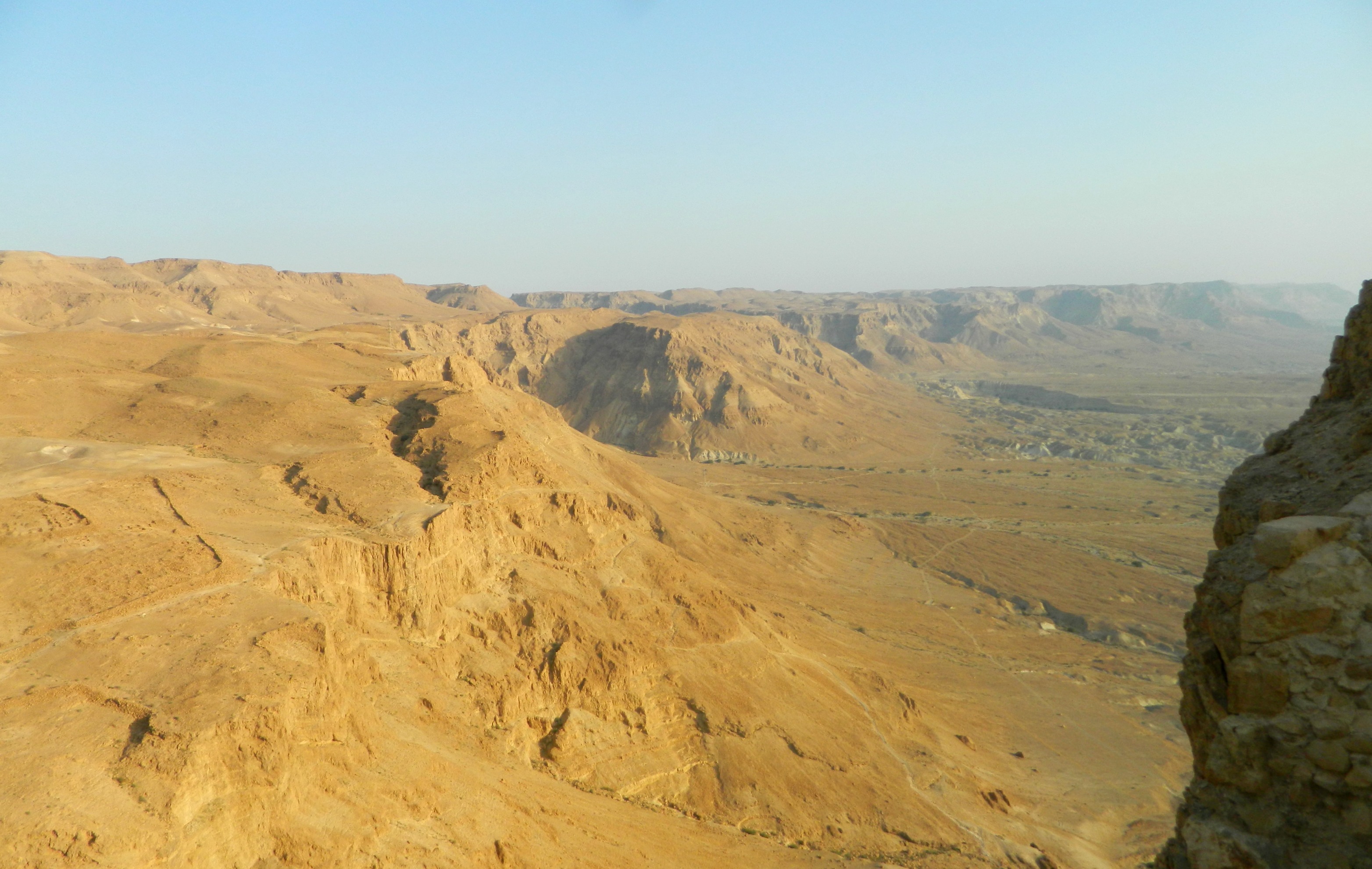
Driving in from the west, we traversed the barren wilderness and arrived at the parking lot beside the old Roman encampments on the west side of the craggy mountain. With the first hint of morning light showing over the horizon, beyond the Dead Sea and the mountains of Jordan, we began our ascent for the sunrise tour. The history and archaeological work done to Masada, one of Israel’s most famous tourist attractions, is too much to cover for this post, especially due to the fact that there is so much I simply don’t know yet – I will have to endeavour to write a better post on a future visit.
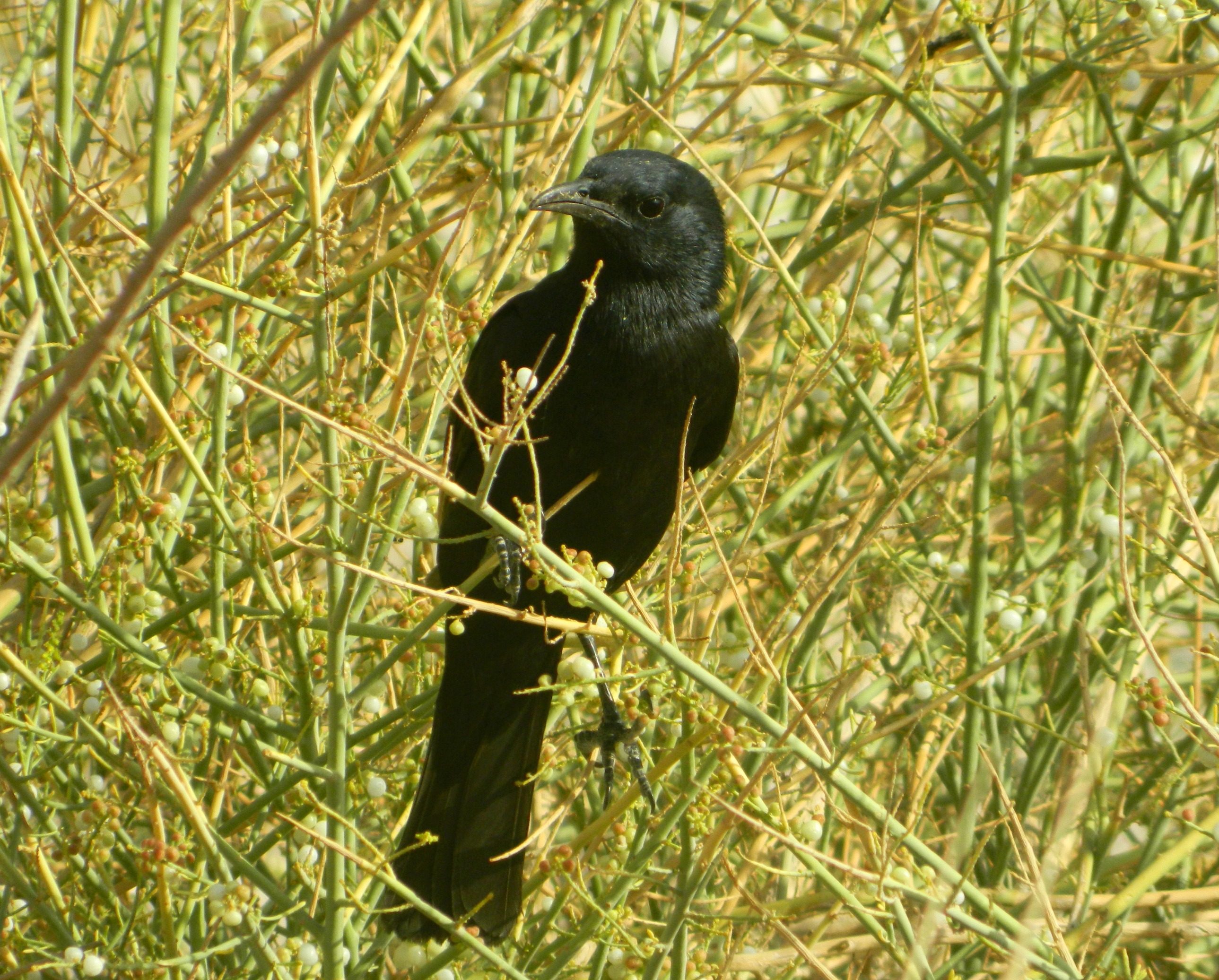
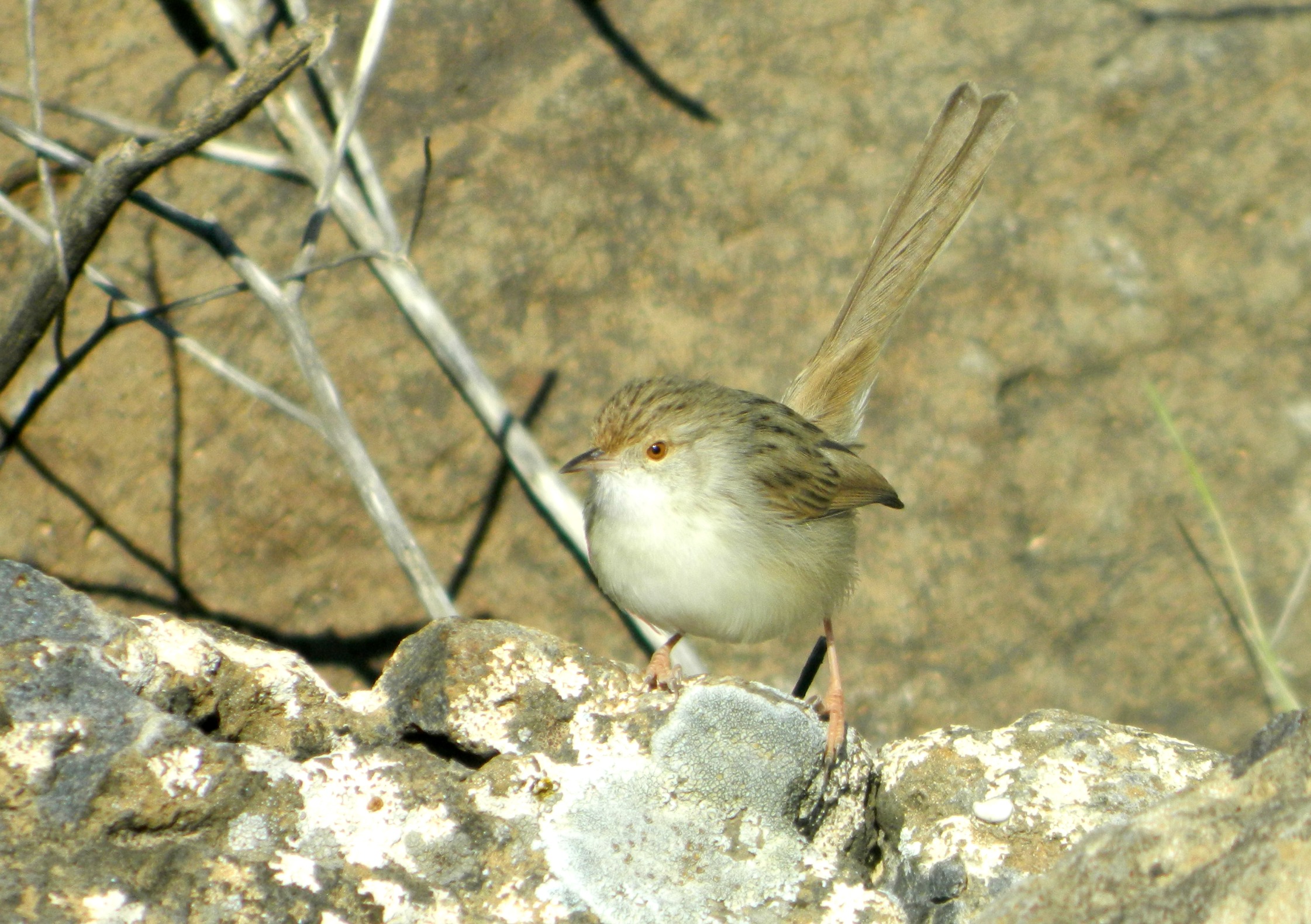
Tristam’s starling
In short, Masada is the ruins of a nearly-impenetrable mountaintop fortress built by Herod during the Roman era nearly two thousand years ago. History was made at the end of the Great Revolt (or First Jewish-Roman War) as the fortress became the last standing bastion against the Roman army, after strongholds in other regions fell (such as Gush Chalav, Gamla and, of course, Jerusalem).
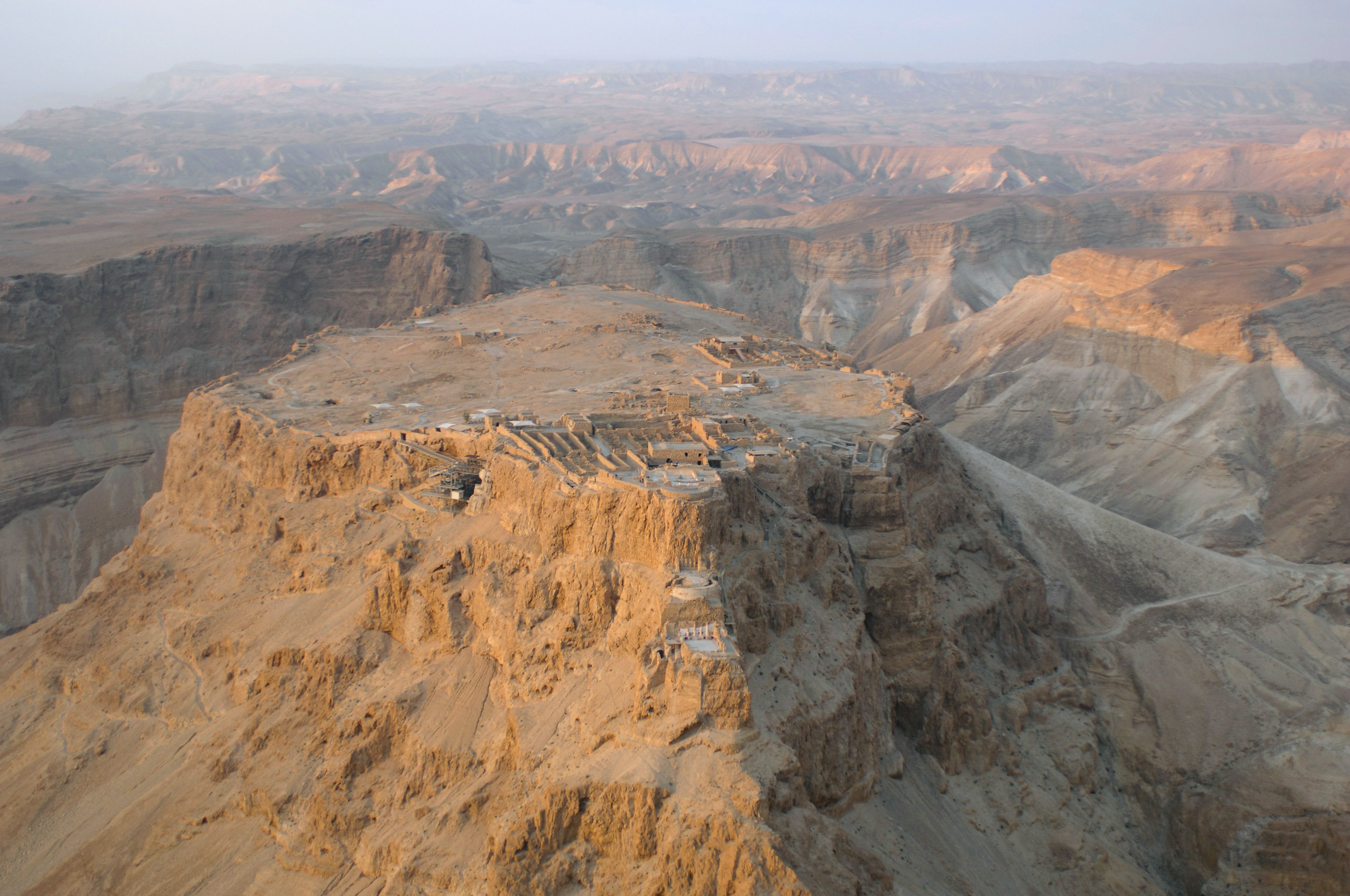
Aerial view of Masada from the north (photo Wikipedia)
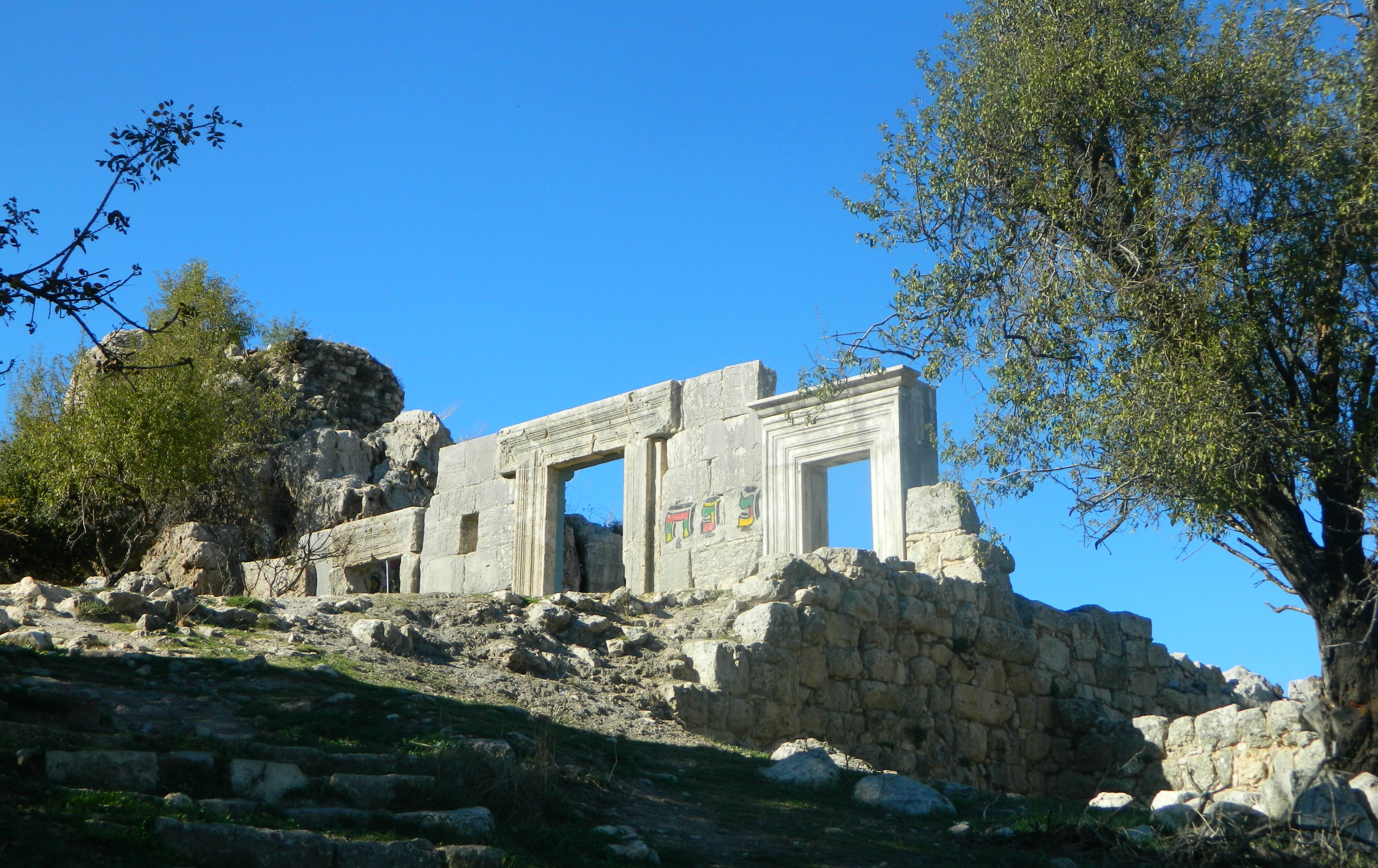
We began our ascent up the Roman siege ramp (as can be seen on the right side of the aerial photograph), an extraordinary construction feat at the time, with the path straying from the ramp every so often until we reached the top. We entered the ancient fortress via a small arched portal and surveyed the flat mountaintop.

Entering via a small arched portal
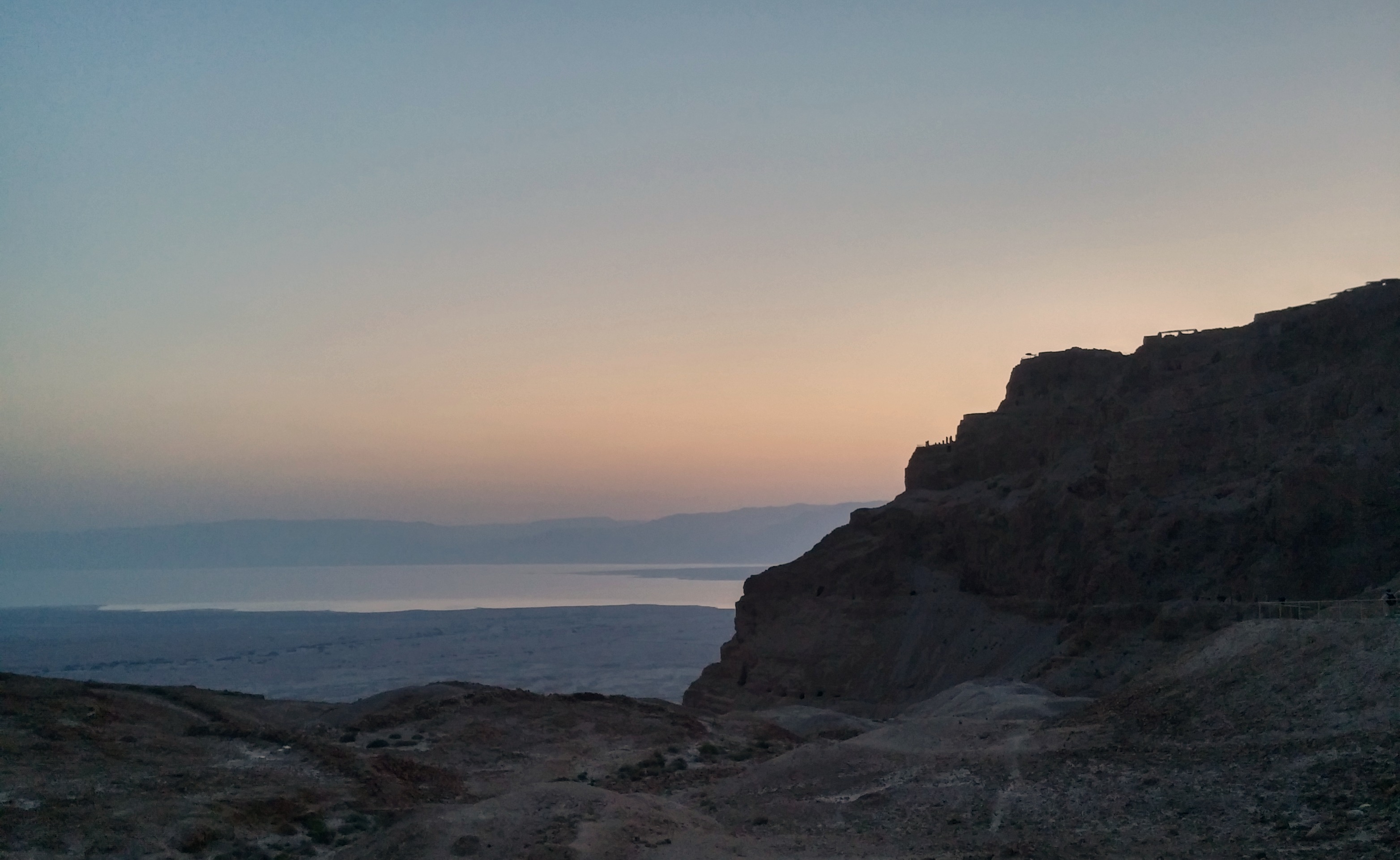
The sun was creeping its way to the peaks of the Jordanian mountains to the east and we gathered around to watch the sunrise.
Sunrise on Masada
With the world around us bathed in a new light we began our tour of the revered stronghold, one group in Hebrew and one group in French. Just as we began, the tours came to an abrupt stop, as we had approached the ruins of the ancient synagogue. We decided that there was no better place to hold the morning prayers (Shachrit) than in the synagogue of Masada.
Looking out to the northwest
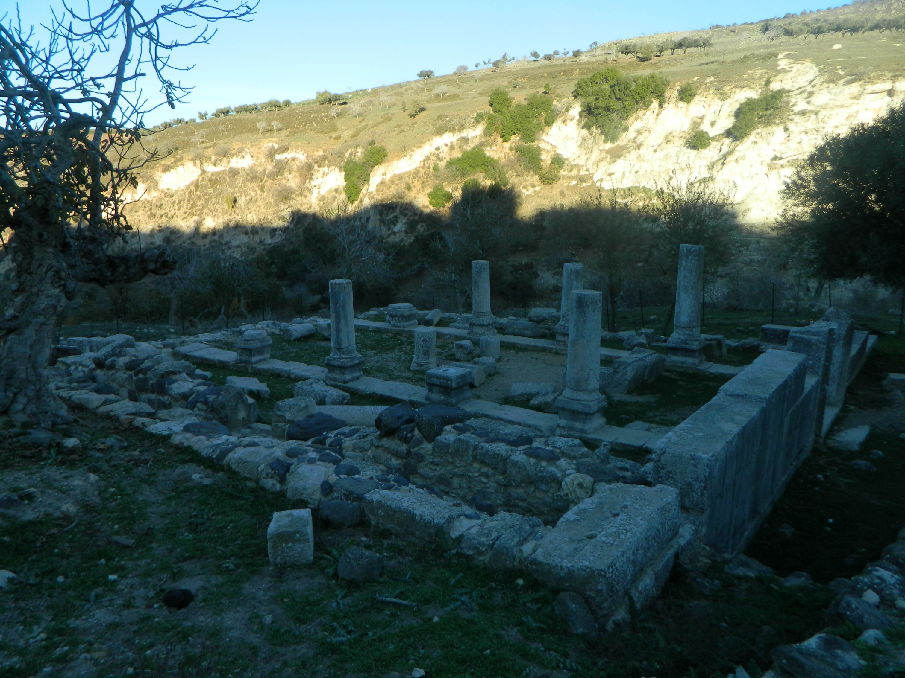
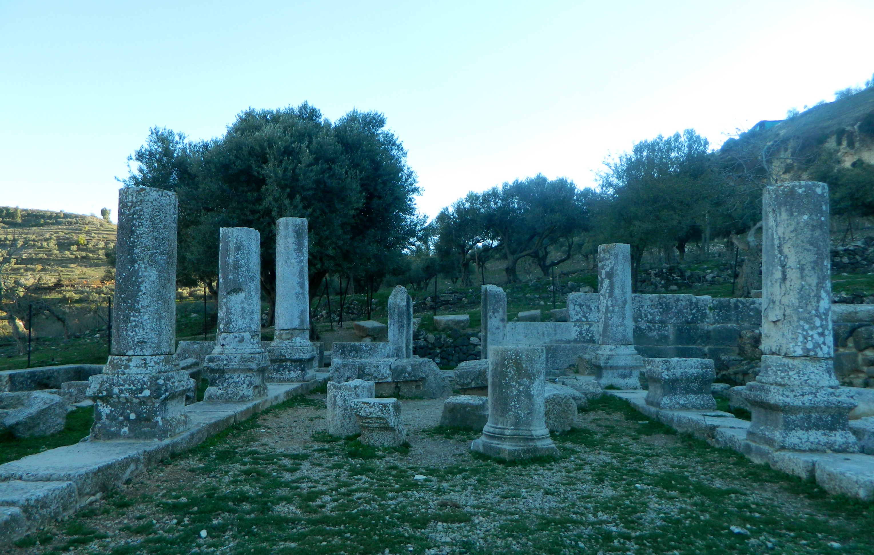
Unfortunately, my Hebrew-language tour carried on without me and so I ended up missing a lot of what was said. Having rejoined some half hour later, we explored the bathhouse, storehouses, administrative and residential structures on the northern end of the fortress before working our way back towards the centre of the complex.
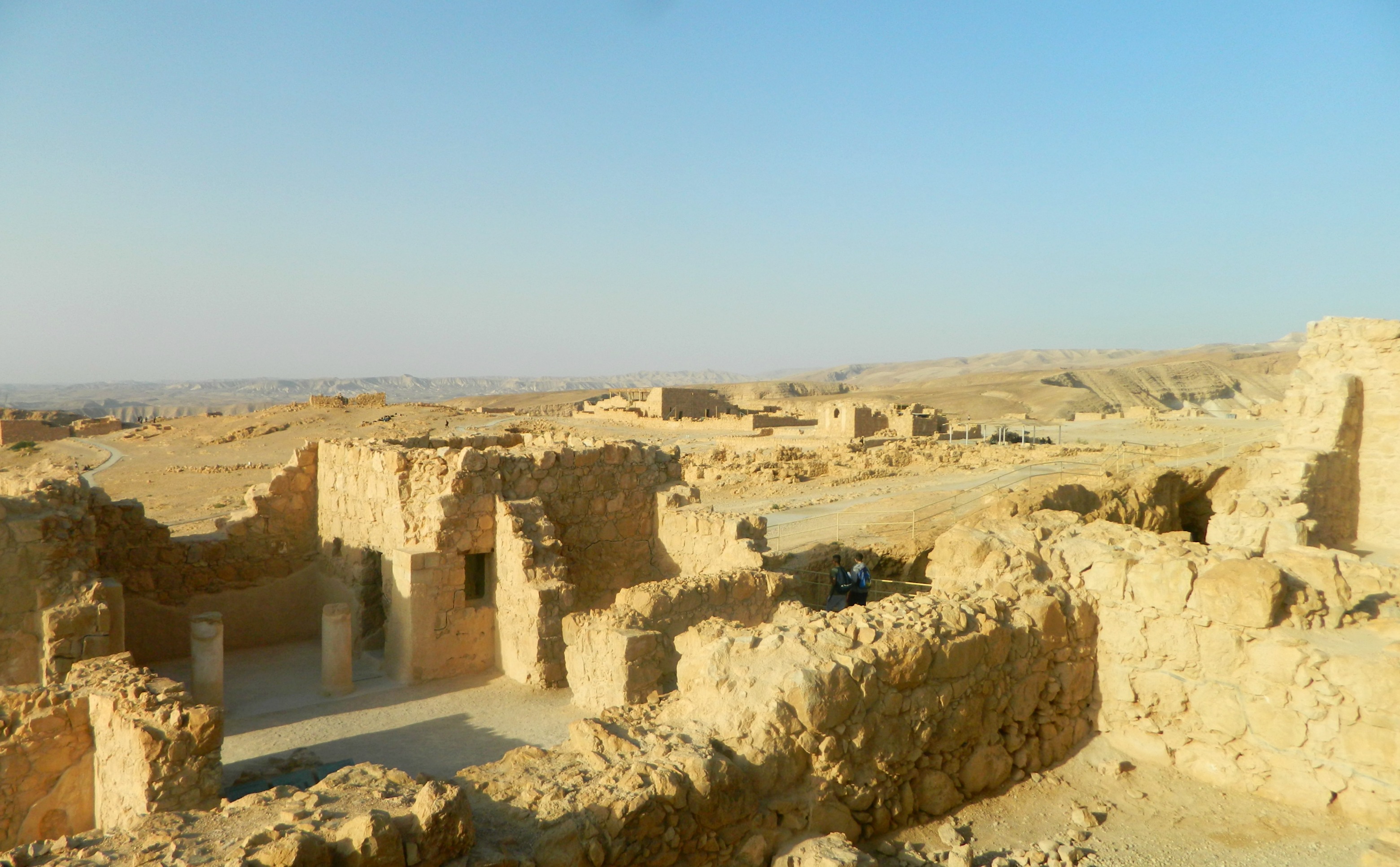
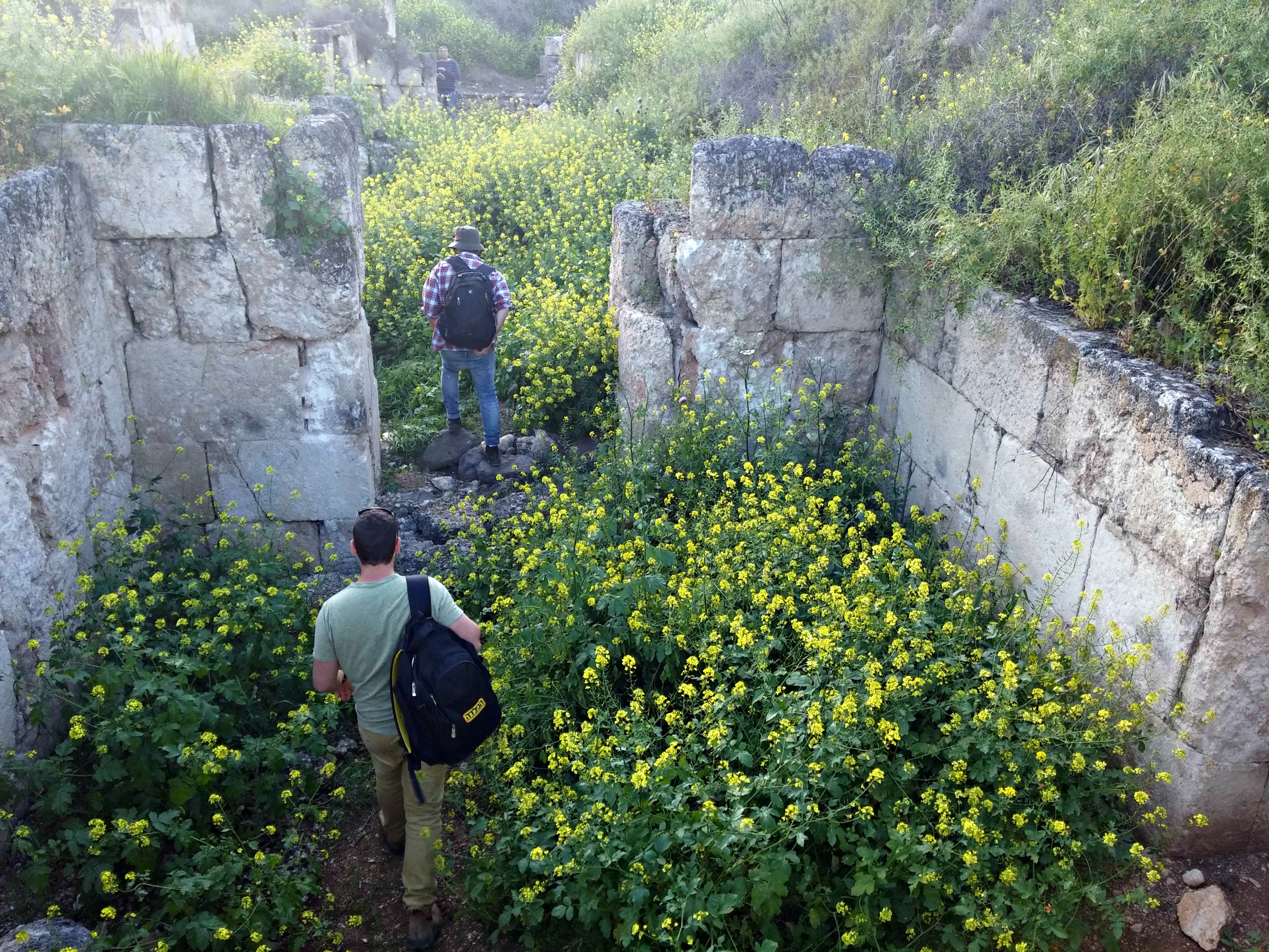
Ruins of buildings
Several hours had passed and, although still morning, the harsh desert heat was beginning to pick up intensely. I wrapped my head in a white t-shirt and we began the descent down the famous Snake Path. Winding in the most serpentine manner down the east side of the craggy mountainside, the Snake Path is known to be the tough route up/down (especially when the third option is the cablecar).

Making our way down the Snake Path
Along the way I spotted an interesting flowering plant and paused to photograph it. Upon future investigation I learned that it was a Sodom apple with toxic sap in their fruit. The fibres attached to the seeds of this plant were once used to make wicks and are explicitly mentioned in the listing of what materials are forbidden to make Shabbat candle wicks from.
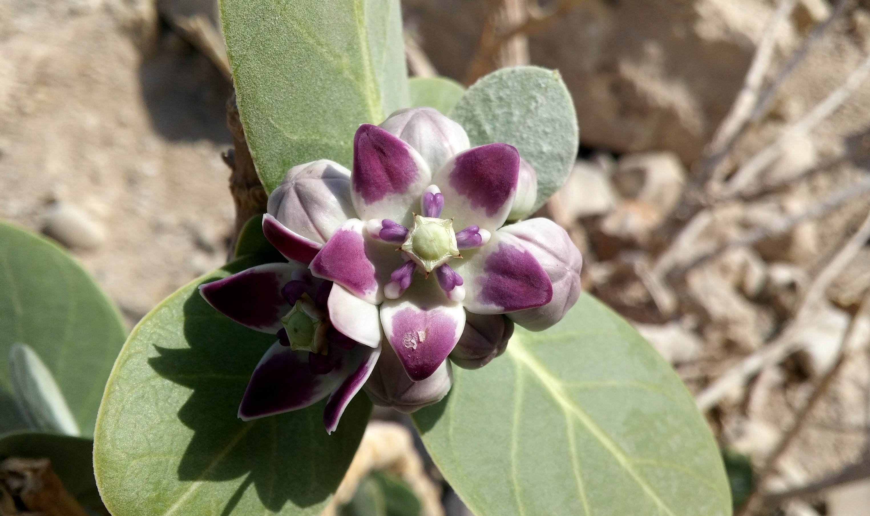
Sodom apple flower
Eventually we reached the bottom and began our walk to the Masada Guest House where we were to have breakfast. I dug into a plate of salad, canned apricots and a potato boreka whilst enjoying a nice cup of coffee. Lounging around the hostel after breakfast, we waited for our buses to return to take us to the second half of our trip, the Dead Sea.

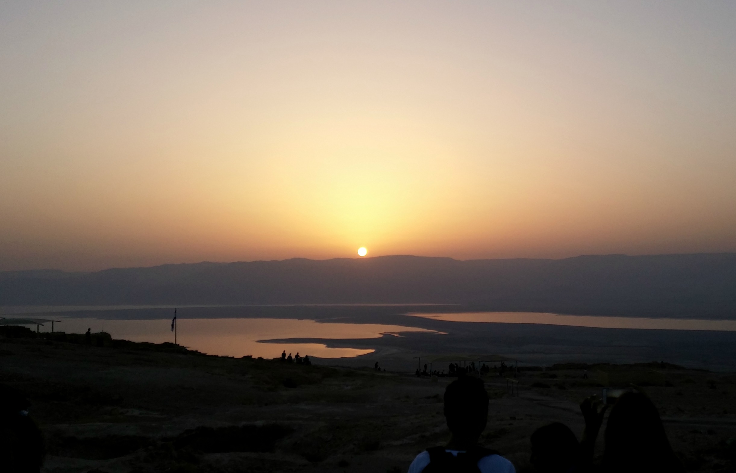
The touristy shore of the Dead Sea
Now, oddly enough, I had never been to the Dead Sea and, rather unfortunately, I had no bathing suit readily available to pack and I didn’t bother to procure one – I’m sure the opportunity to float weightlessly will come again. Without going into too much depth about the place, the Dead Sea’s water is 9.6 times as salty as standard ocean water, resulting in an unusual level of buoyancy. Additionally, the Dead Sea is the lowest place on Earth and incredibly hot all year round.
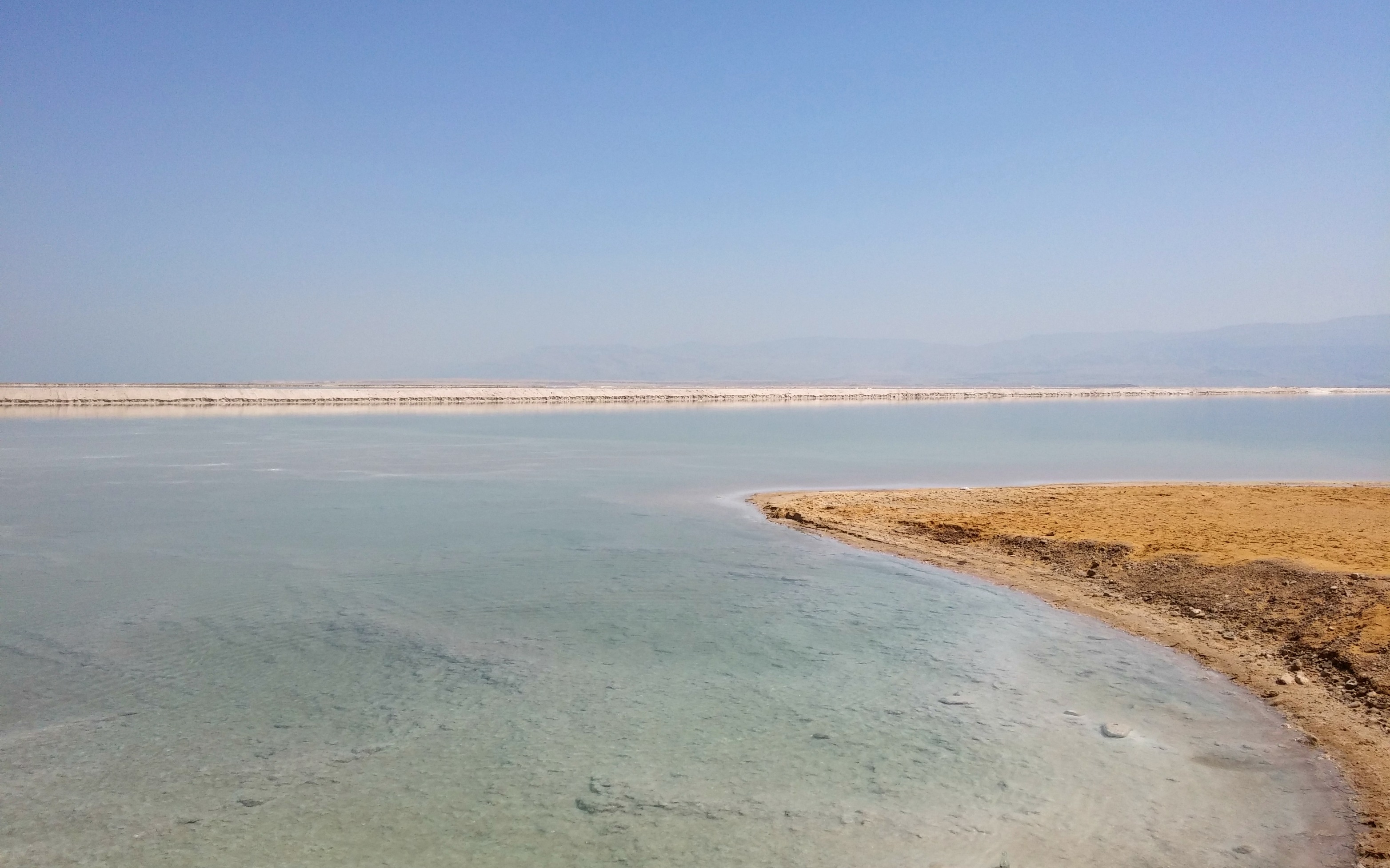
Another view of the Dead Sea
Still wrapped in the white t-shirt I disembarked with my friends and colleagues at whatever resort area we arrived at (it might have been in Ein Bokek) and we made our way to the sea. Like newborn sea turtles we scampered our way across the hot sand to the inviting waters ahead. Some went in, some sunbathed at the water’s edge but I decided to inspect the curious salt growths, accompanied by two friends.
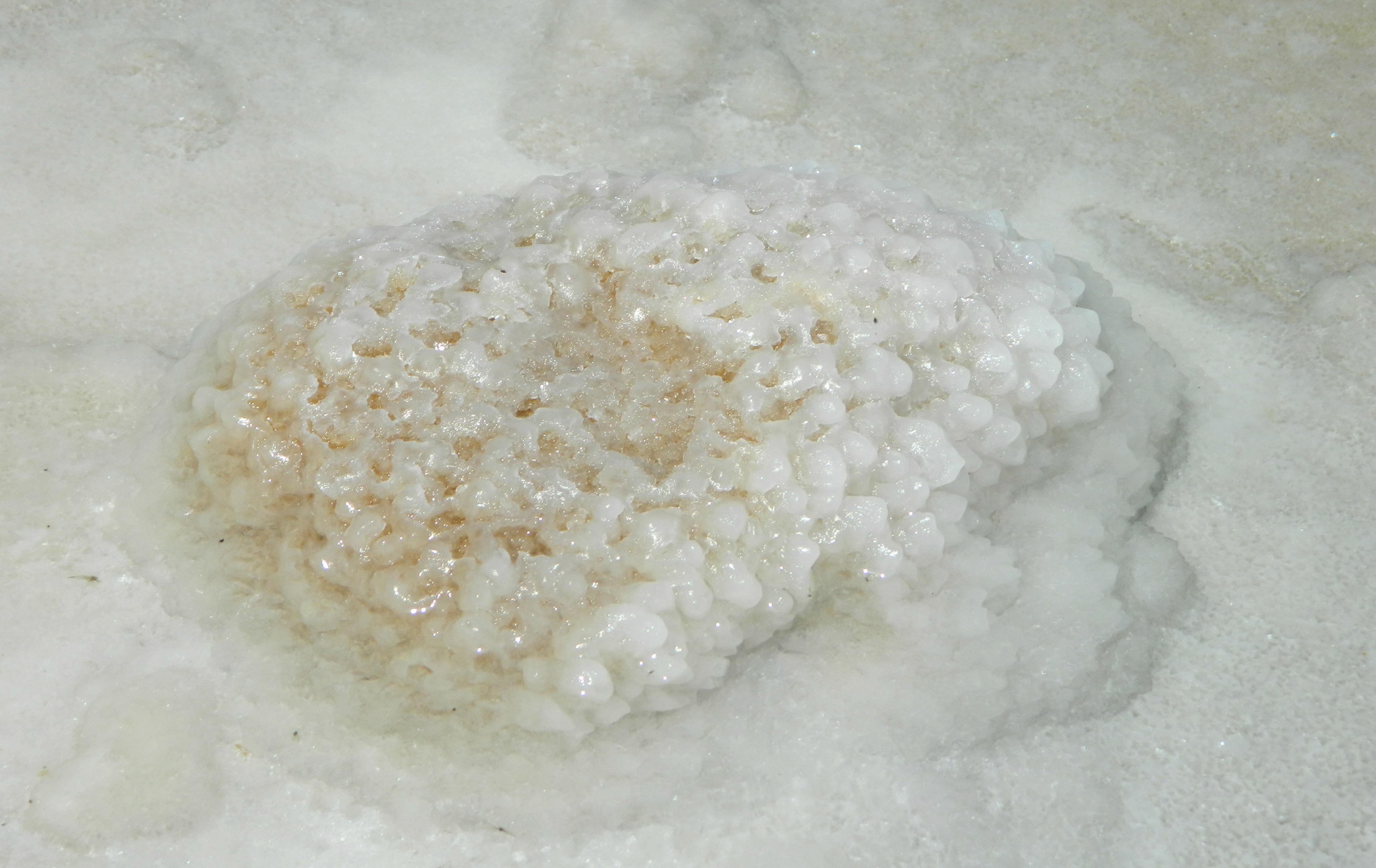
Fascinating salt crystal growth underwater
We noted that ladybugs seems to be drawn to the salty sand, as well as a weevil which I caught on my finger. We fished out an interesting rock that was encrusted with salt crystals, as well as a twig that suffered a similar fate in the inhospitable waters.

Salt-encrusted rock
I’ve seen many pictures online of the most magnificent salt crystal formations in the Dead Sea yet we were on a touristy beach which continuously disturbed by the hands and feet of man. Baking in our clothes from the relentless heat, we turned back towards the resort and found shelter with comfortable padded chairs and couches. We relaxed and chatted in the shade, a pair of nesting crag martins keeping us company.
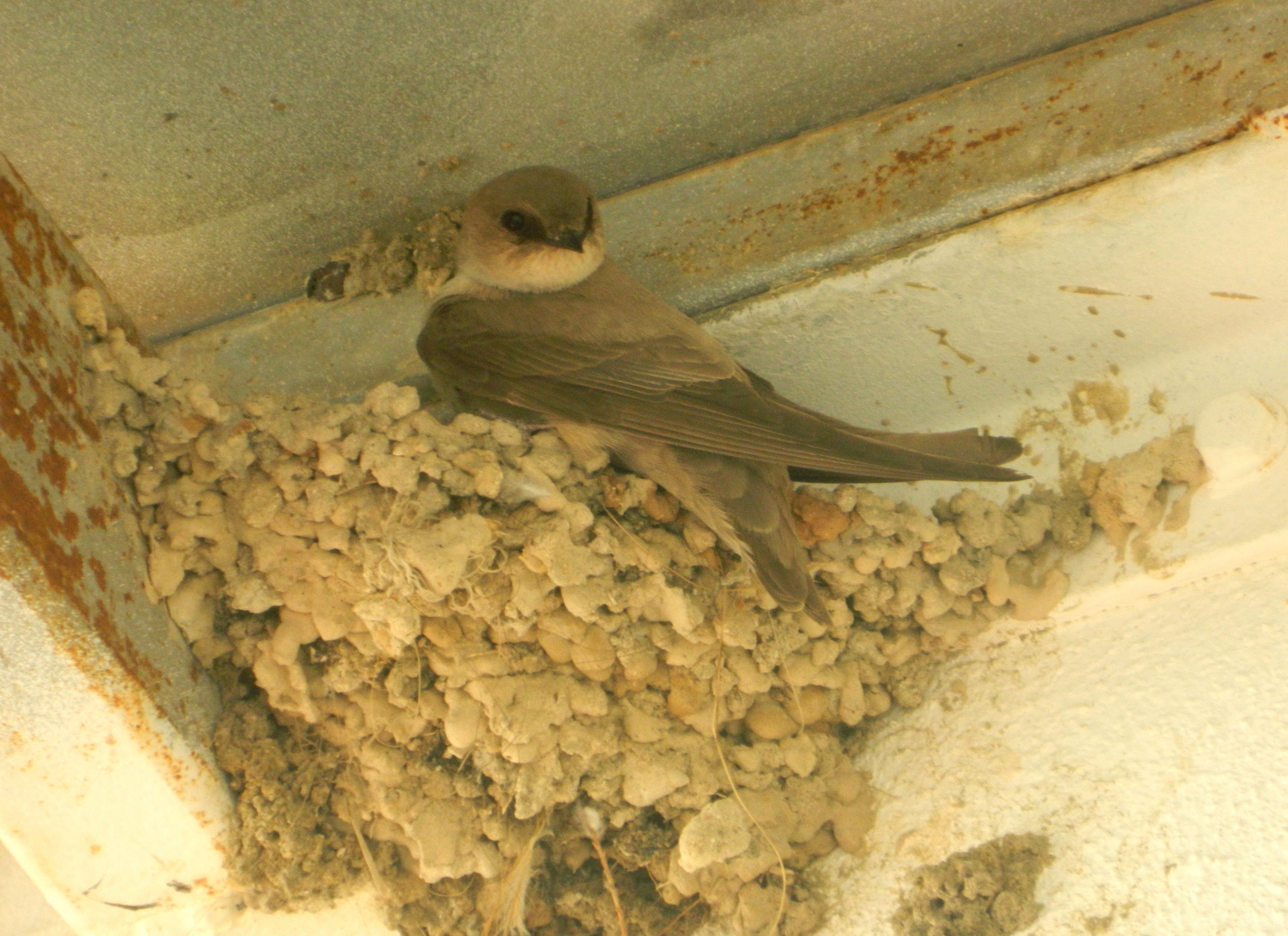
Nesting crag martin
After a lunch of sandwiches and fruit we boarded the buses and began the long journey back to Bar Ilan University, tired but happy with such a day of leisure and fun.


