Finishing off my day trip to the Gilboa and Bet Shean regions was a stopover at Israel’s best-preserved Crusader castle, Belvoir (or Kochav HaYarden, in Hebrew). Located just ten kilometres north of ancient Bet Shean, this Crusader fortress stood on an escarpment overlooking the Jordan River Valley – a seemingly impenetrable bastion. From Road 90, running parallel to the Jordan River, I drove up the single-lane access road that meandered its merry way up the mountainside.

Aerial view of Belvoir looking westward (photo: Biblewalks)
I entered the park and began what I thought would be a circular path to the castle, but I soon reached a closed gate with a view of the low mountains to the north and the seasonal Tavor stream. Turning around, I walked the short direct trail to the bluff’s edge passing a sculpture garden featuring the work of Yigal Tumarkin. The name Belvoir means “beautiful view” in French and they were’t lying when they named the castle – the view is phenomenal.
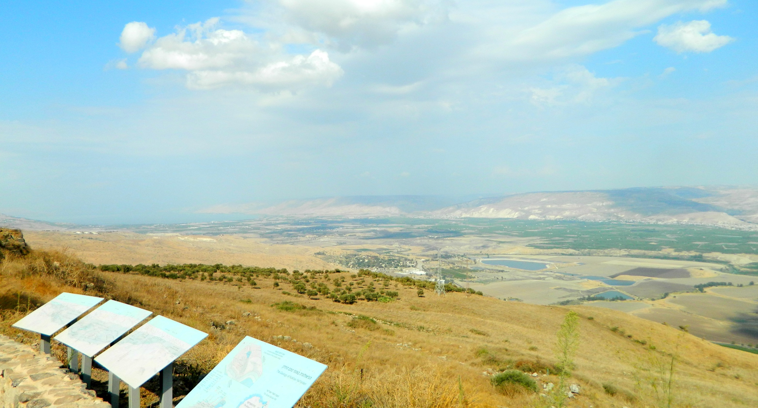
Lookout over the Jordan River Valley
The suggested path for visitors starts at the main gate at the southeastern corner of the castle, leading past the once-heavily fortified barbican (now mostly in ruin). From there the route leads into the outer courtyard passing the corner towers and the cistern where water was stored, being as such there was no spring in the immediate vicinity. One thing that’s particularly beautiful about Belvoir is the symmetry used to build a succession of fortified structures, culminating in the small keep at the western end.
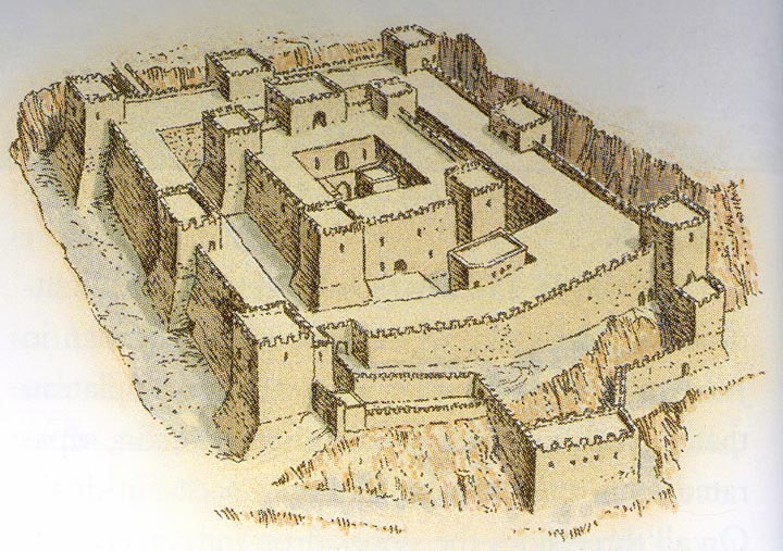
A drawing of what Belvoir might have looked like
The history of Belvoir is rather brief beginning in 1140 as a fortified farmhouse owned by the Velos family and sold to the Knights Hospitallers in 1168 who, in turn, built the castle as we know it. In 1182-83 Belvoir was besieged by the Ayyubid sultan Saladin, the bane of the Crusaders, although the siege was a failure. Not intending to give up, Saladin returned with his army in 1187 after defeating the Crusader at the Horns of Hattin and laid siege once again. After two years the sultan’s sappers succeeded in undermining the barbican and the Hospitaller knights negotiated a truce in which they were afforded safe passage to Tyre, in modern day Lebanon. Frightened that the Crusaders would somehow return to occupy Belvoir, Saladin had it partially destroyed. The sultan’s fears were justifiable as the Crusaders did return in 1241 and, upon seeing the ruins, abandoned the castle, leaving it definitely.

Entrance to the keep
Walking into the inner fortress, I passed through the arched gateways of the keep (also known as a donjon in French). Inside the inner fortress I found the kitchens, dining hall and refectory as well as other smaller courtyards, accented by the four corner towers. The trio of ovens are of a very interesting design and I can almost recreate a scene in my mind where the bland European foods of wild boar and coarse bread were cooked up for the great feast in the nearby dining hall.
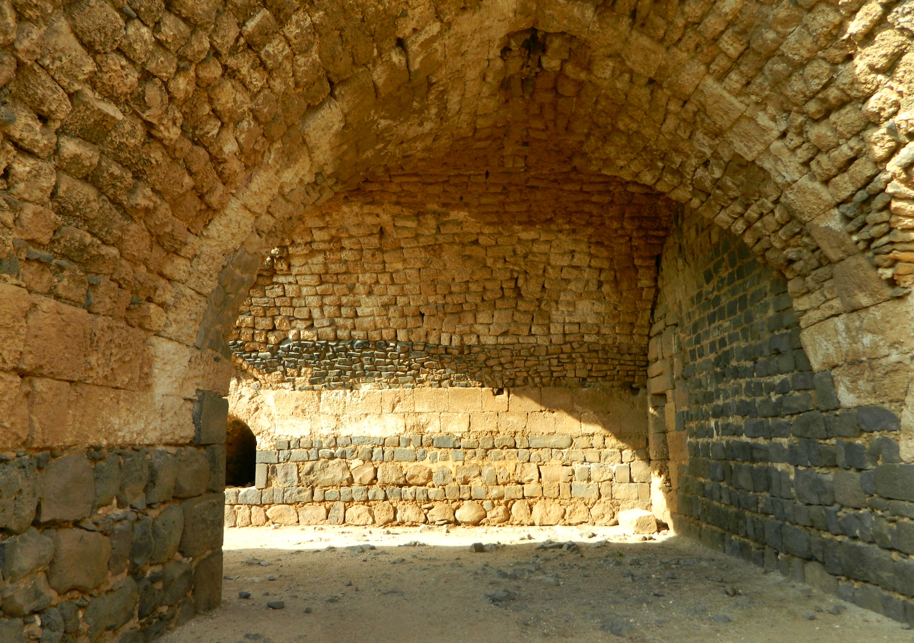
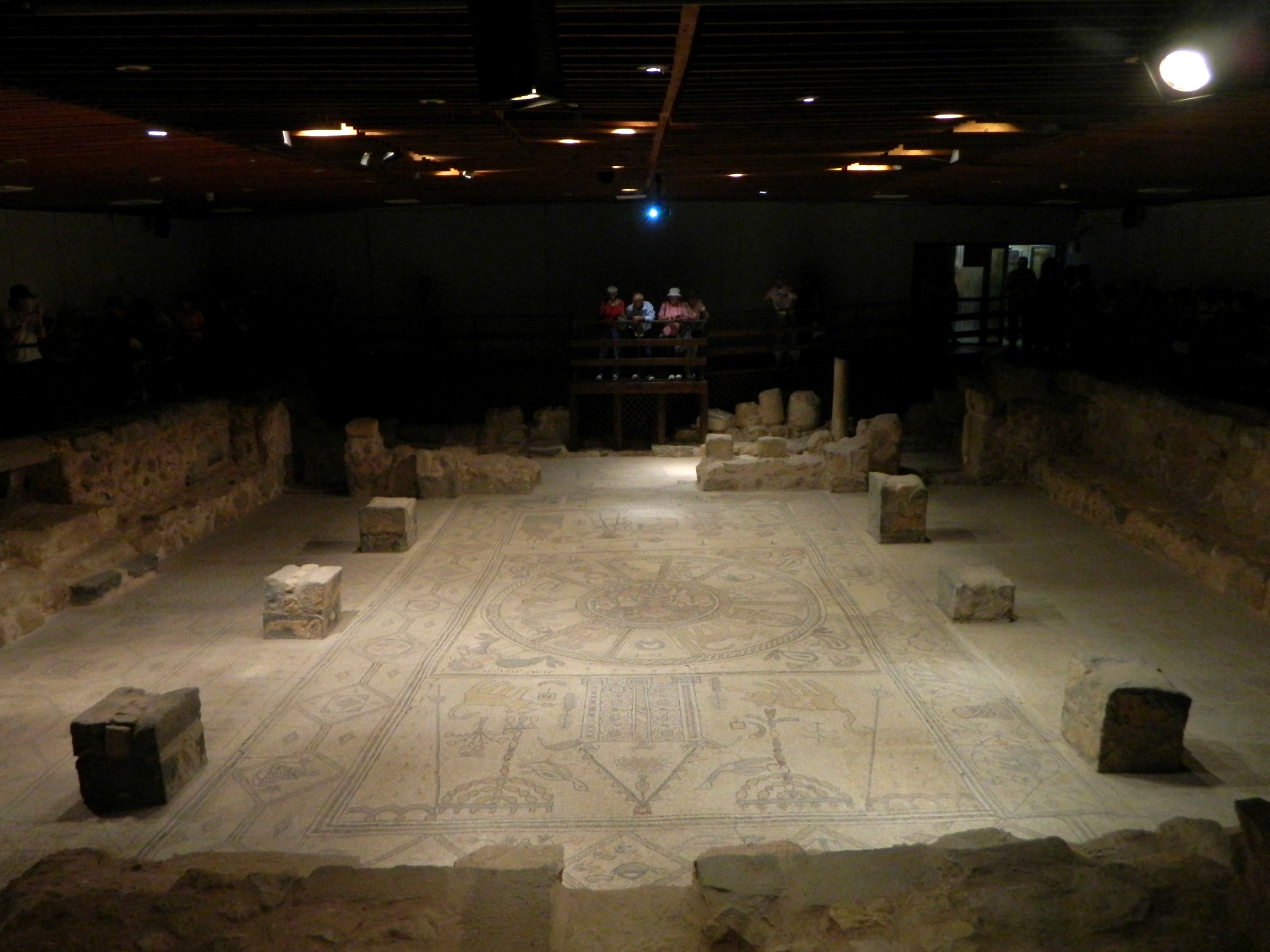
Barrel-vaulted dining hall
The special laundry basin, also located in the inner fortress, has an interesting lining of broken pottery bits, reminding me of the clay piping in Montfort Castle, the Teutonic Knights’ mountaintop headquarters. Outside the keep is the west gate where a drawbridge once stood, spanning the deep dry moat that was carved out of the basalt mountaintop. Interestingly enough, the castle’s construction was completed with both the local black basalt and a yellow-white limestone that was brought in – in fact there is a carved stone from an ancient synagogue that was recycled in an arched window. Before crossing the drawbridge, I followed the suggested route down a sally port (secret exit) in the southwest corner tower.

Sally port
Down in the moat I was able to look up and imagine myself as an invader attempting entry into a seemingly impenetrable behemoth of stacked ashlars.

From within the dry moat
I reentered the castle via another sally port located in the central western tower. Crossing over the fixed metal drawbridge, I spotted two chukars (a type of partridge) on the far end of the moat and then headed for a small visitors’ centre of sorts where several curiosities are on display. While researching Belvoir online I came across something magnificent, a Lego reconstruction of the castle created by the lauded Lego castle builder Bob Carney. If you haven’t seen his work, you should definitely check out his site where he has nearly 150 real castles built out of Lego and properly documented (I linked the full Belvoir page in the photo caption below). You can see a stop motion video of Bob’s recreation of the medieval Rhuddlan Castle in Wales on YouTube (HERE).

Lego reconstruction of Belvoir (photo Bob Carney)
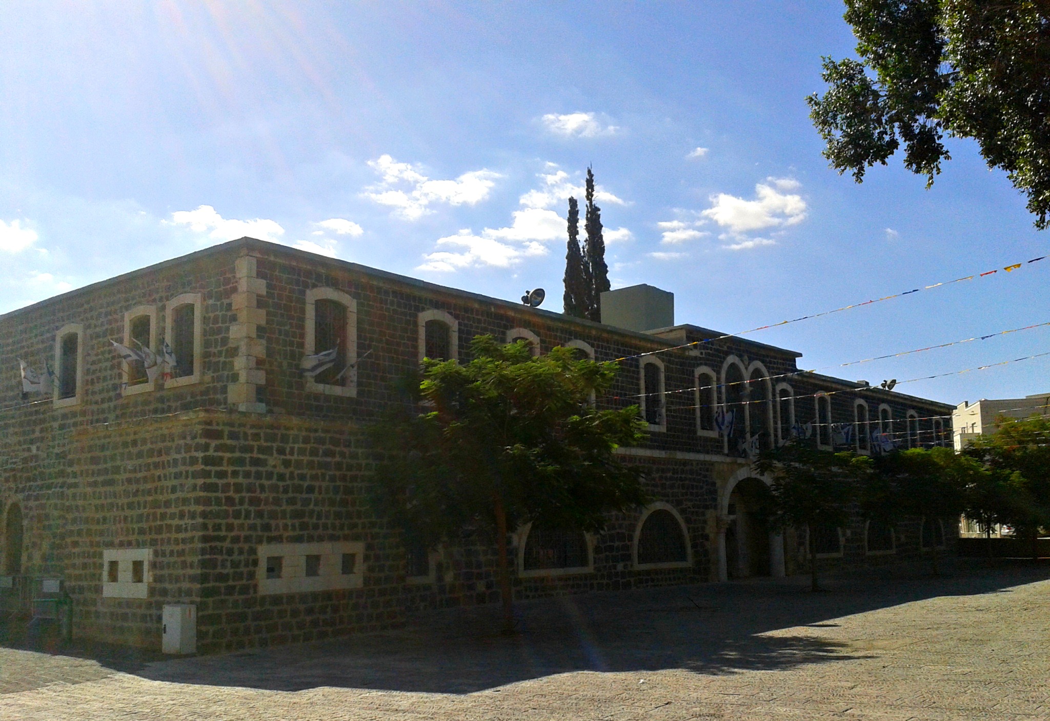
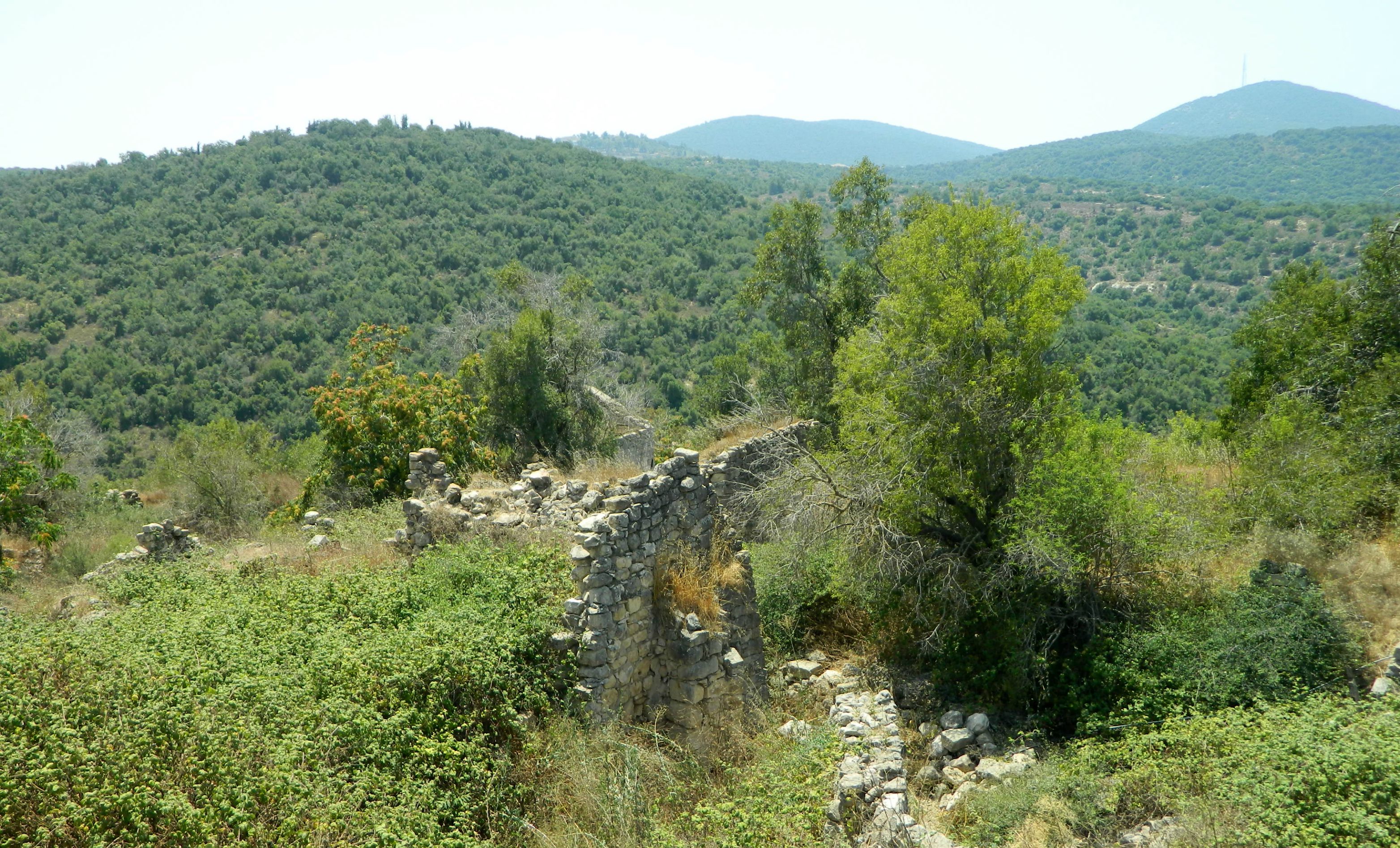
Wrapping up my visit to Belvoir, I drove back down the meandering mountain road, scouring the roadside for gazelles and hyenas (of which I saw neither), until I reached Road 90 once again. I turned north and stopped off at Old Gesher (Naharayim) where I first found an old British police station (yet another Tegart fort) which has since been pockmarked by bullets from a battle between Israeli and Iraqi forces in 1948.
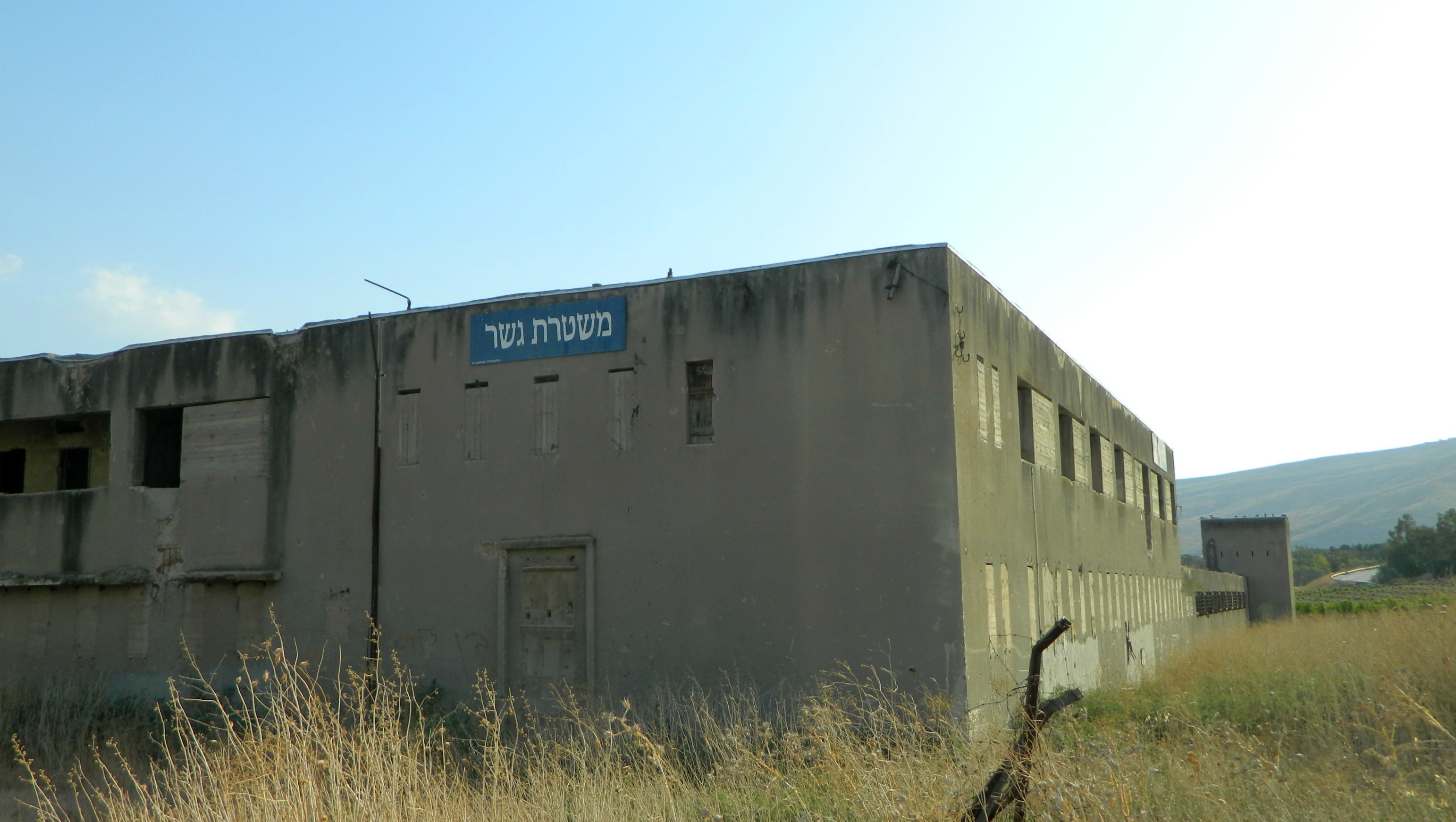
Old Gesher police station
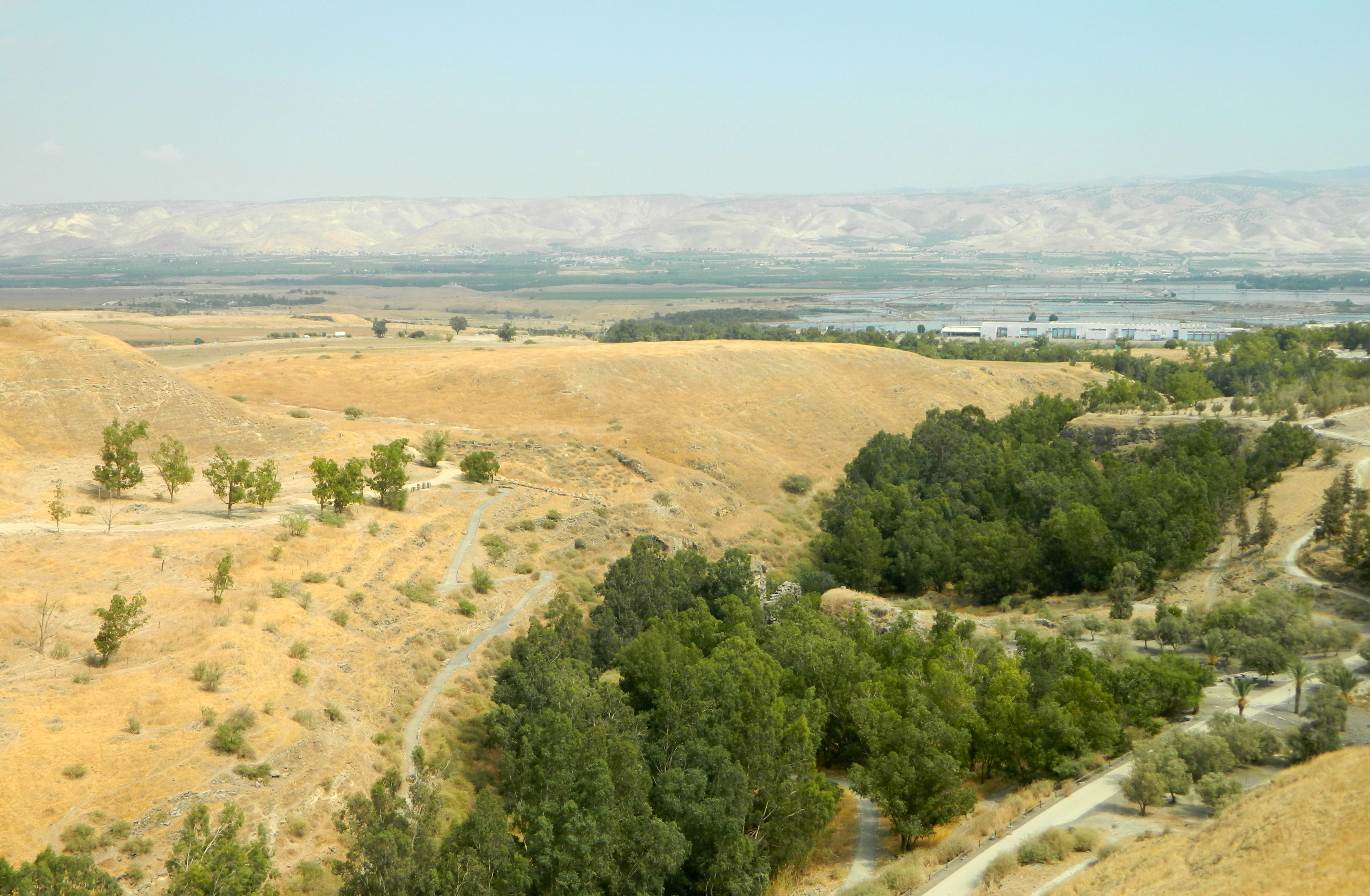
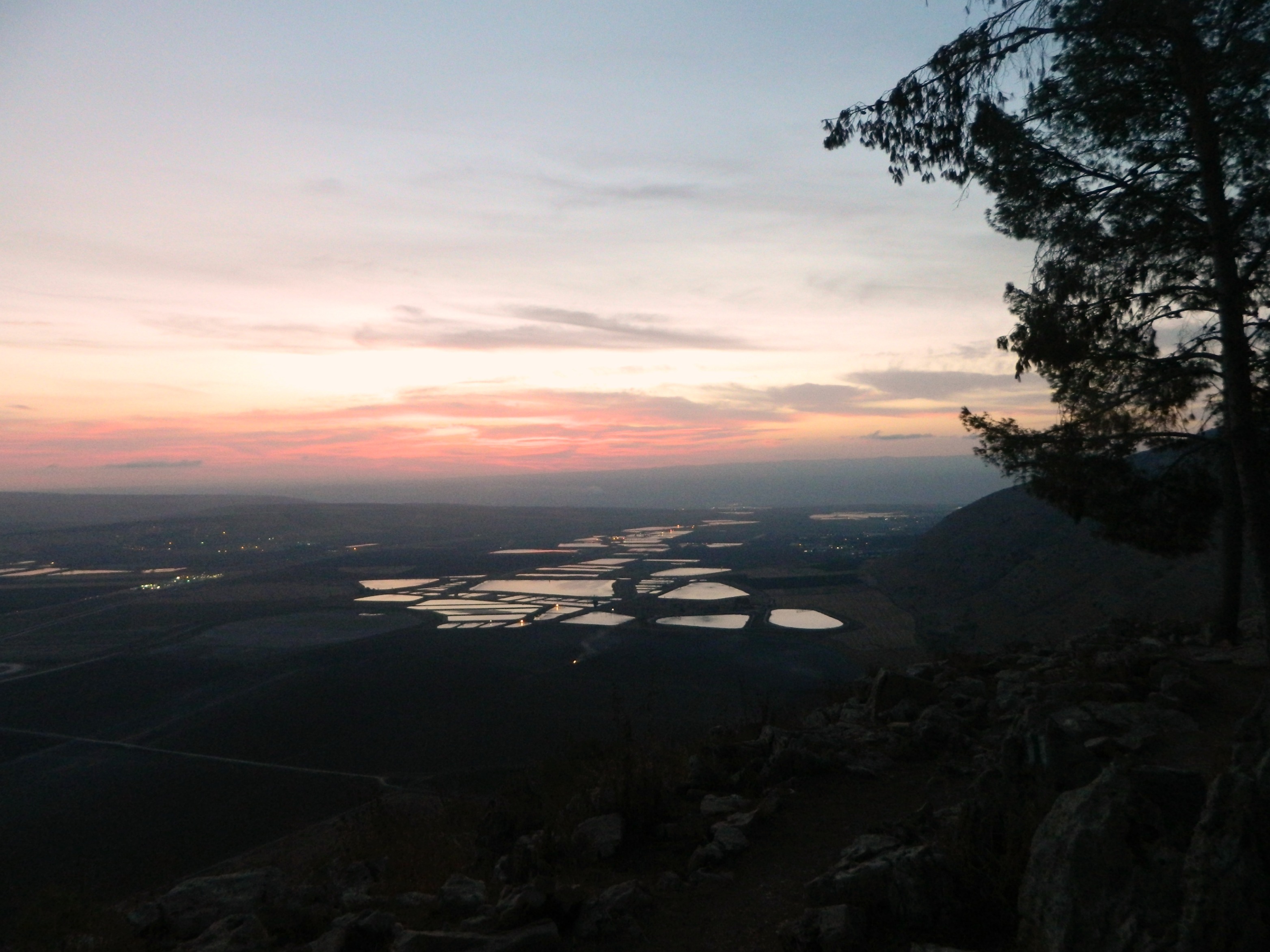
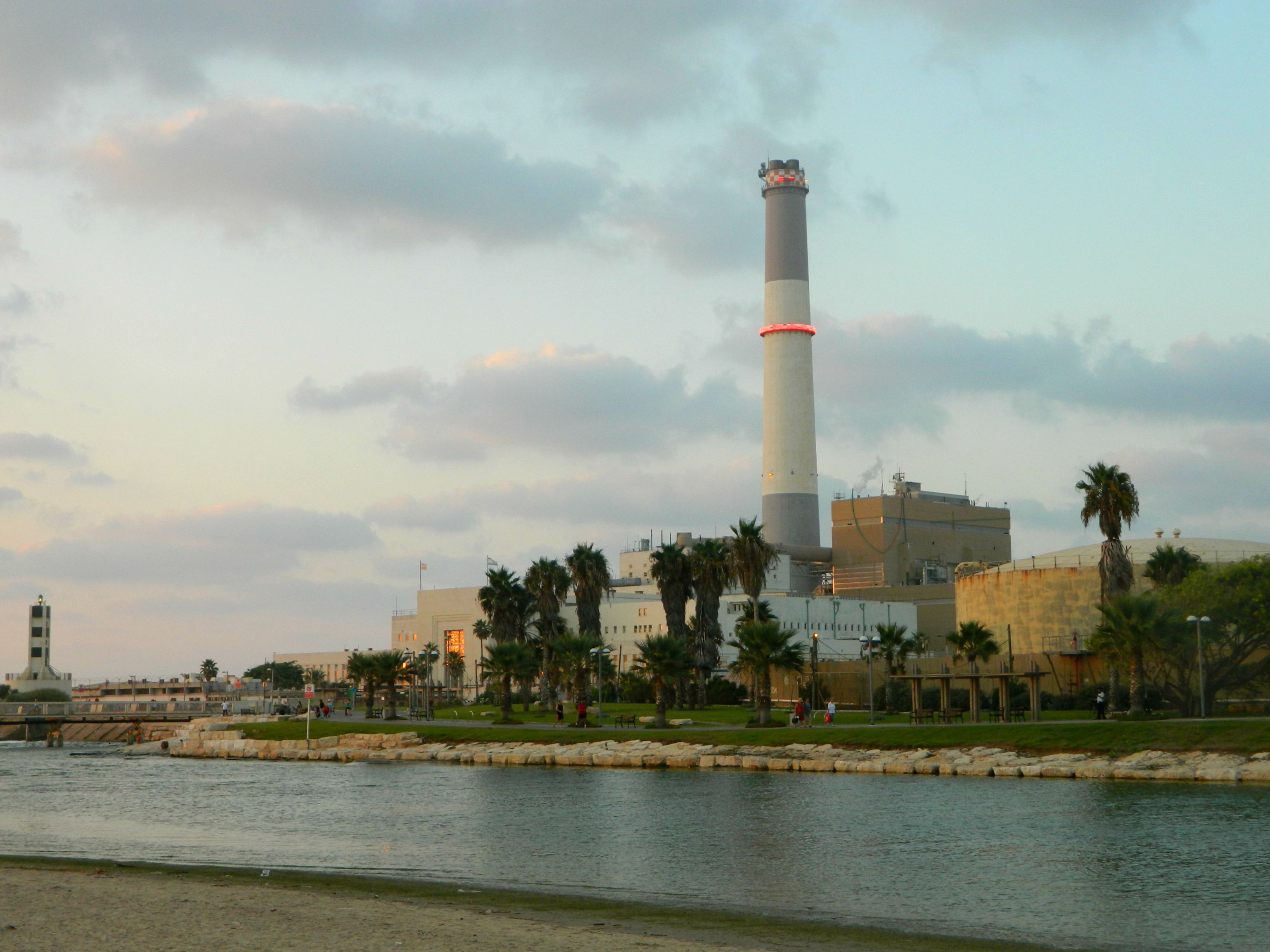
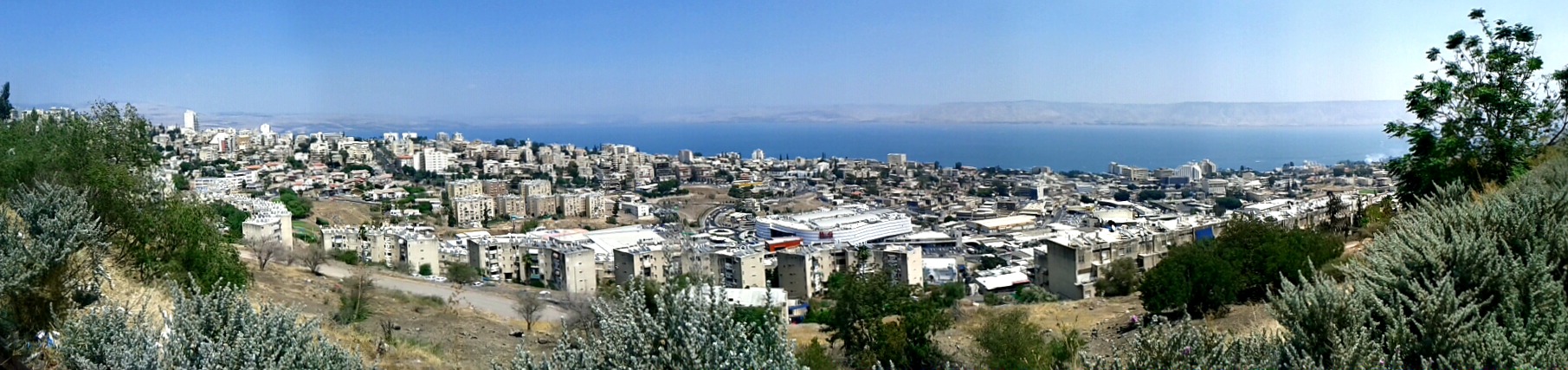
I drove closer to the Jordan River but it was soon apparent that the site was already closed for the day and I would simply have to return another time. Heading back to Road 90 I continued north to my final stop before heading home, Tel Bet Yerach – a remarkable archaeological site which I neglected to mention when covering Jethro’s Cairn, as they both concern the same pagan deity. The tel is located on the southwestern banks of the Kinneret (Sea of Galilee), right at the southern mouth of the Jordan River. Unfortunately I was not completely sure where this site was so I estimated in planning and eventually realised that I was located on a plateau somewhere above it with no easy way down.

View of the Kinneret from above Tel Beit Yerach
So I relented and just took the time to enjoy the view as the sun slowly began to set over my shoulder, content with seeing all that I had succeeded in seeing, but ever eager to explore some more.


