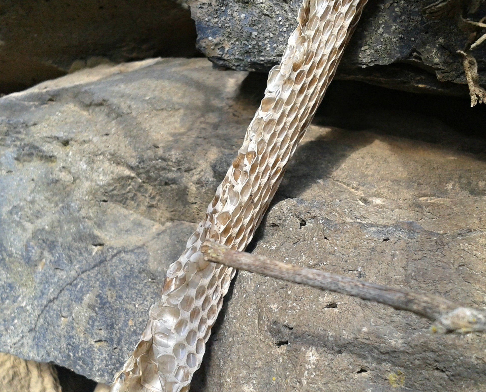
Once again continuing with my adventures in the Golan, where I seized every opportunity to explore the historical and natural riches that the grassy plateau has to offer. This time I was temporarily staying at a base across from Kidmat Tzvi, just minutes from Qatsrin, the “capital of the Golan”. I had noticed a sign on the side of the road telling of a place of antiquities called “Ein Nashut Synagogue”. So, one afternoon I took my essentials and struck a path for this place, mapping out that it was roughly a kilometre and a half away (or, a mile) if I were to directly walk there through the fields.

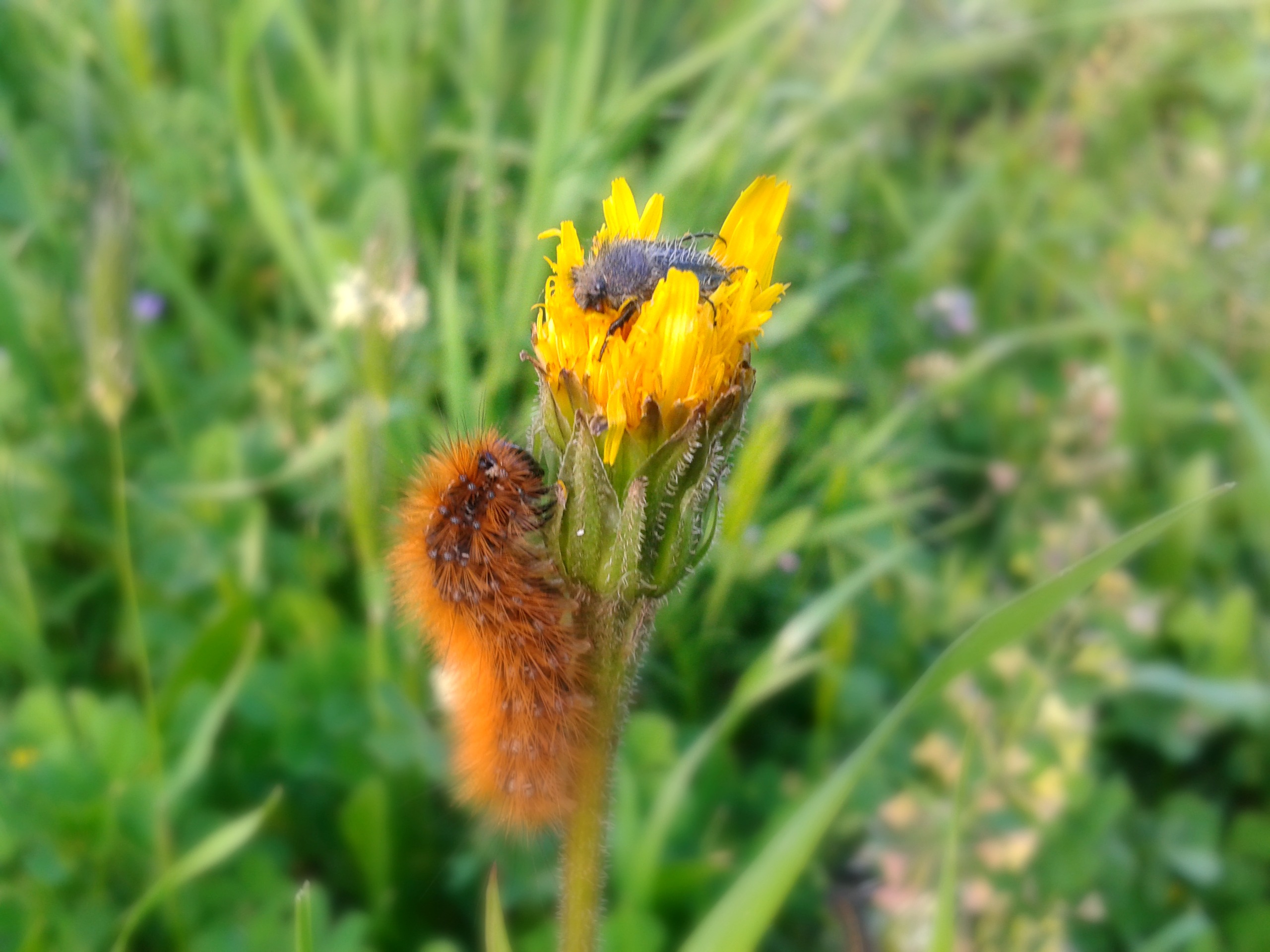
Bumblebee in the wildflowers
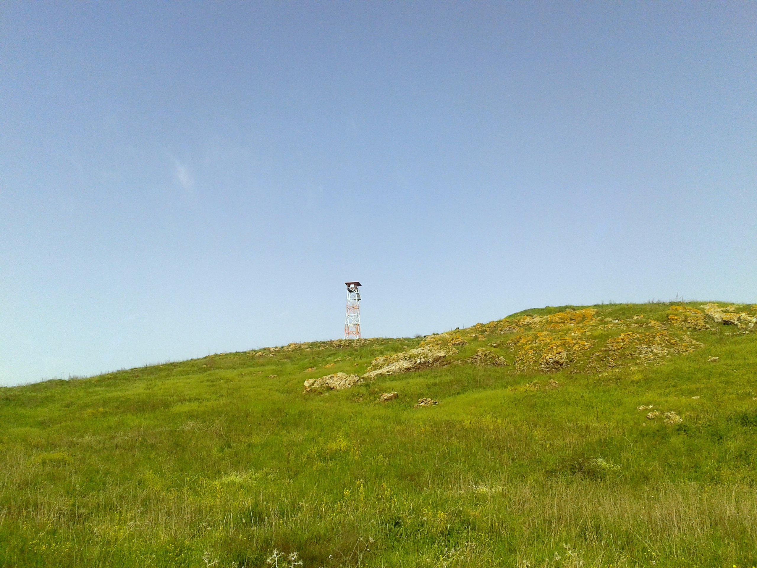
Leaving the base’s rear gate, my walk was going rather pleasantly until suddenly a creature leaped out of the grass beside me. I was nearly paralyzed with excitement as the beautiful mountain gazelle daintily bounced up a man-made hill and disappeared from site. I wish my camera would have been on-hand to capture the moment, but it was snug in my pocket, doing nothing constructive. Hoping to spot the gazelle on the far side of the hill, I carried on around the hill, enjoying the walk. When I reached the other side, I didn’t see the gazelle but then, I spotted approximately ten gazelles racing across the land, crossing the dirt road I had walked on earlier. Refocusing on my destination, I climbed the final hill and looked out at the rolling landscape, hoping to pinpoint the ancient synagogue ruins. I was unable, however, I was standing beside some old graves which, if they are all like the one with a discernible inscription, belong to Arabs.

Old Arab grave
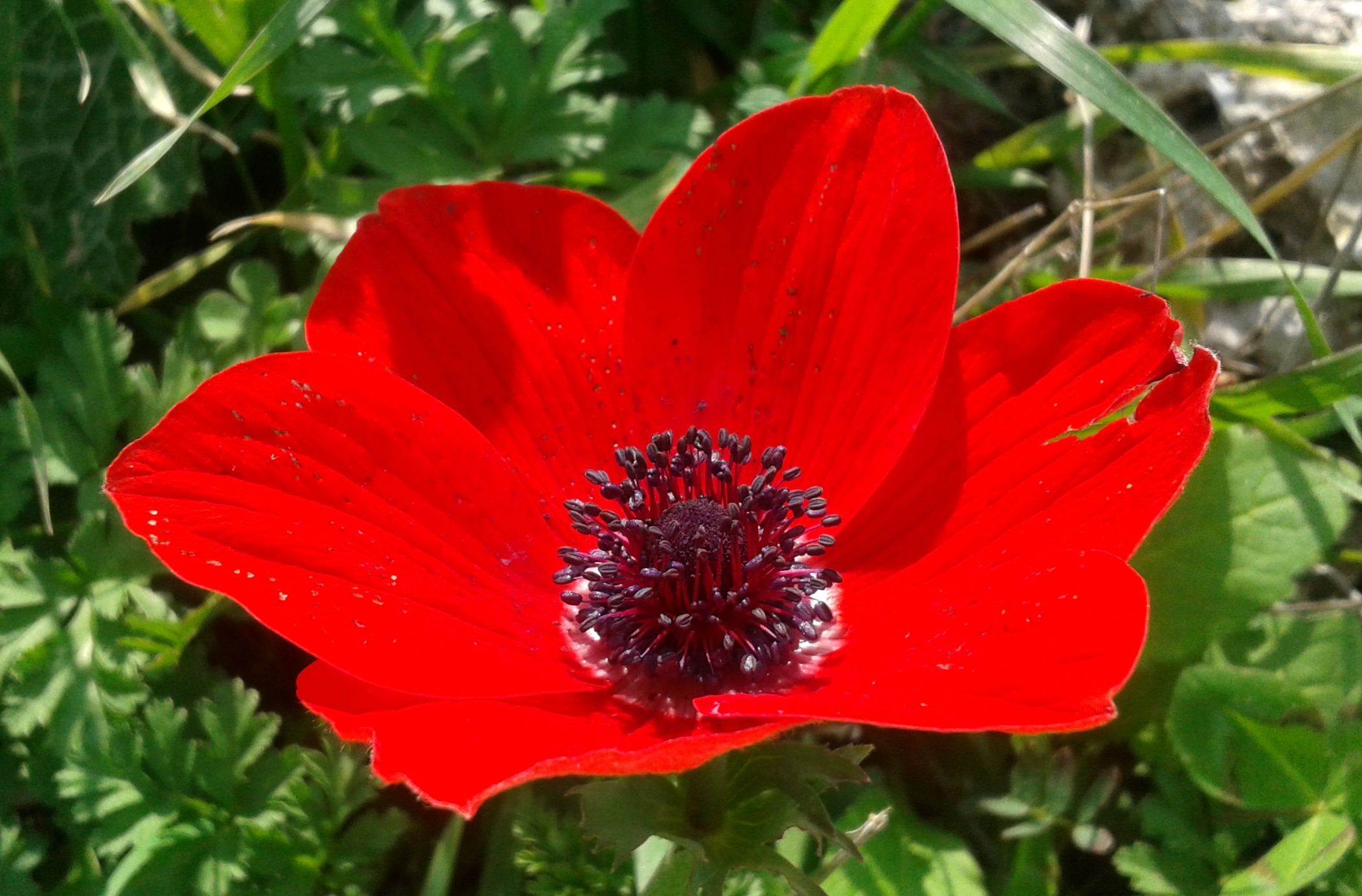
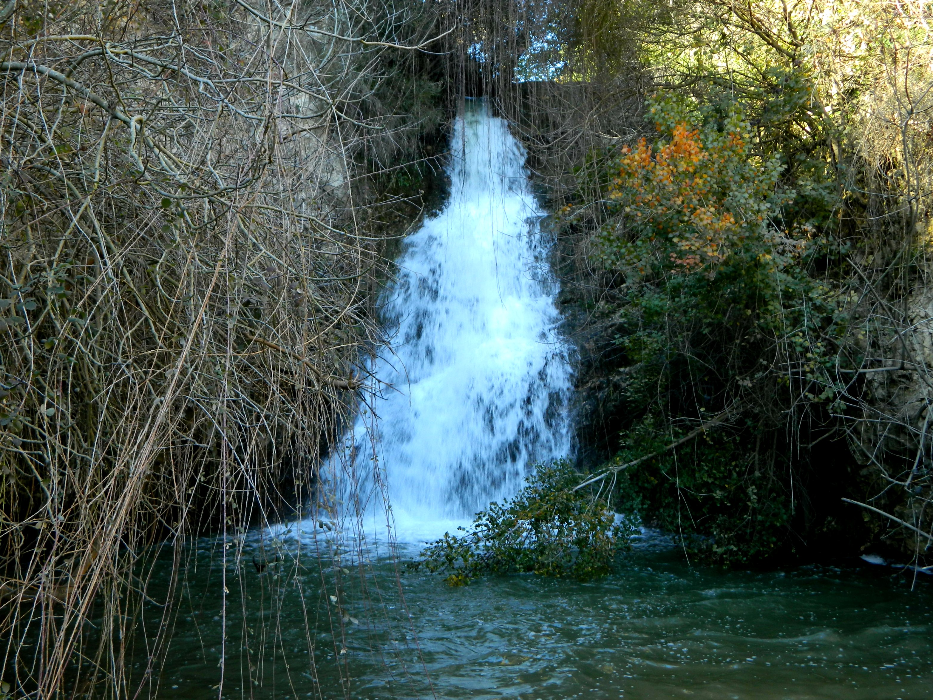
Crossing a seasonal stream, reduced to oozy mud deceptively covered in grass, I shortly came upon a barbed wire fence. Undeterred, I overcame the fence and continued, now approaching huge swathes of wildflowers which painted the immediate landscape in yellow, white and purple. Here the walking got tougher, swishing through the flora which alternated between knee- and waist-deep.

Calendulas underfoot
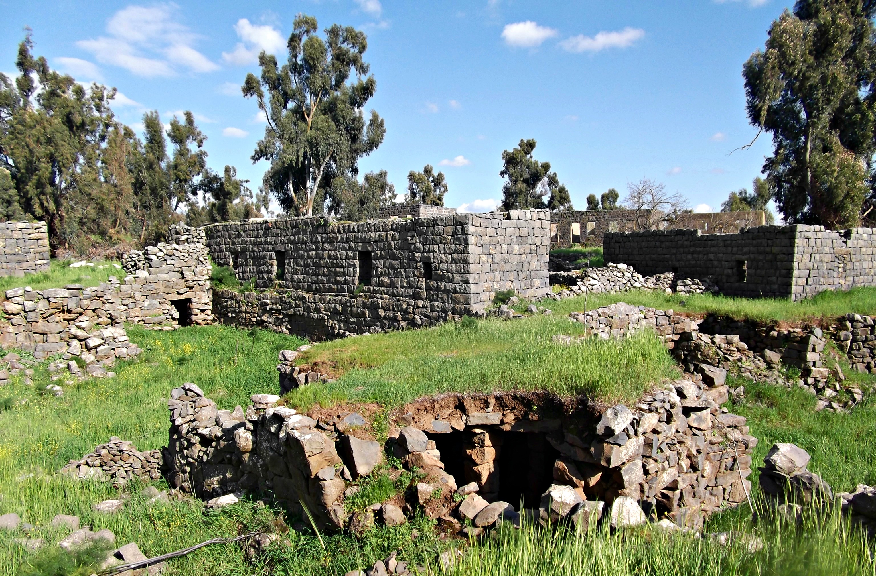
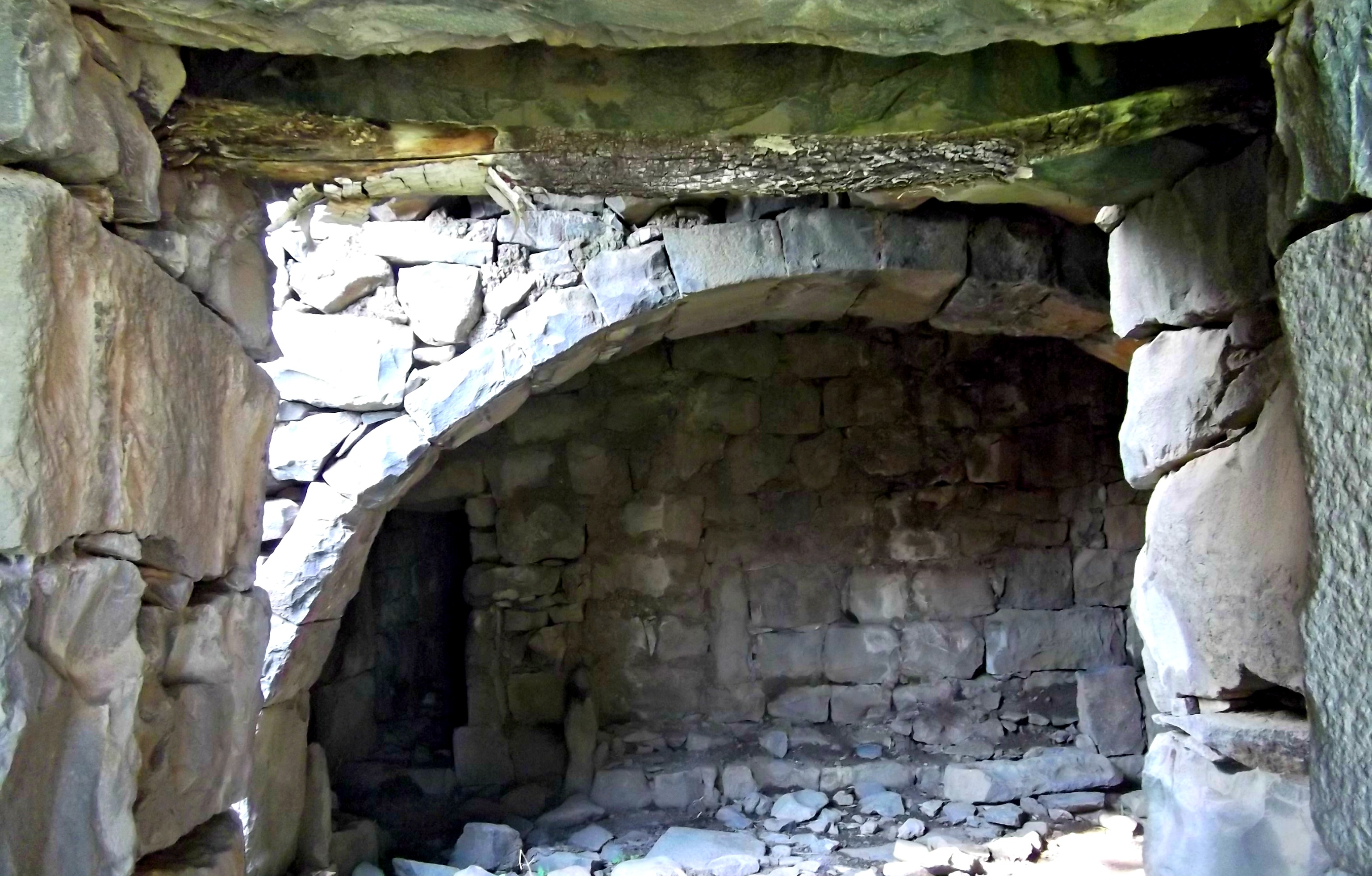
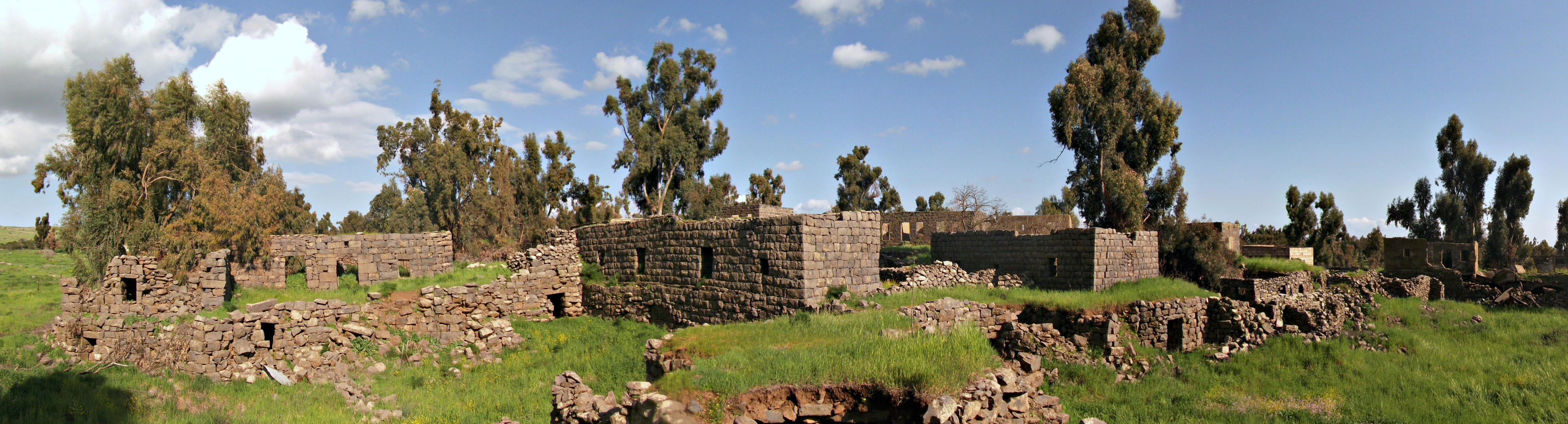
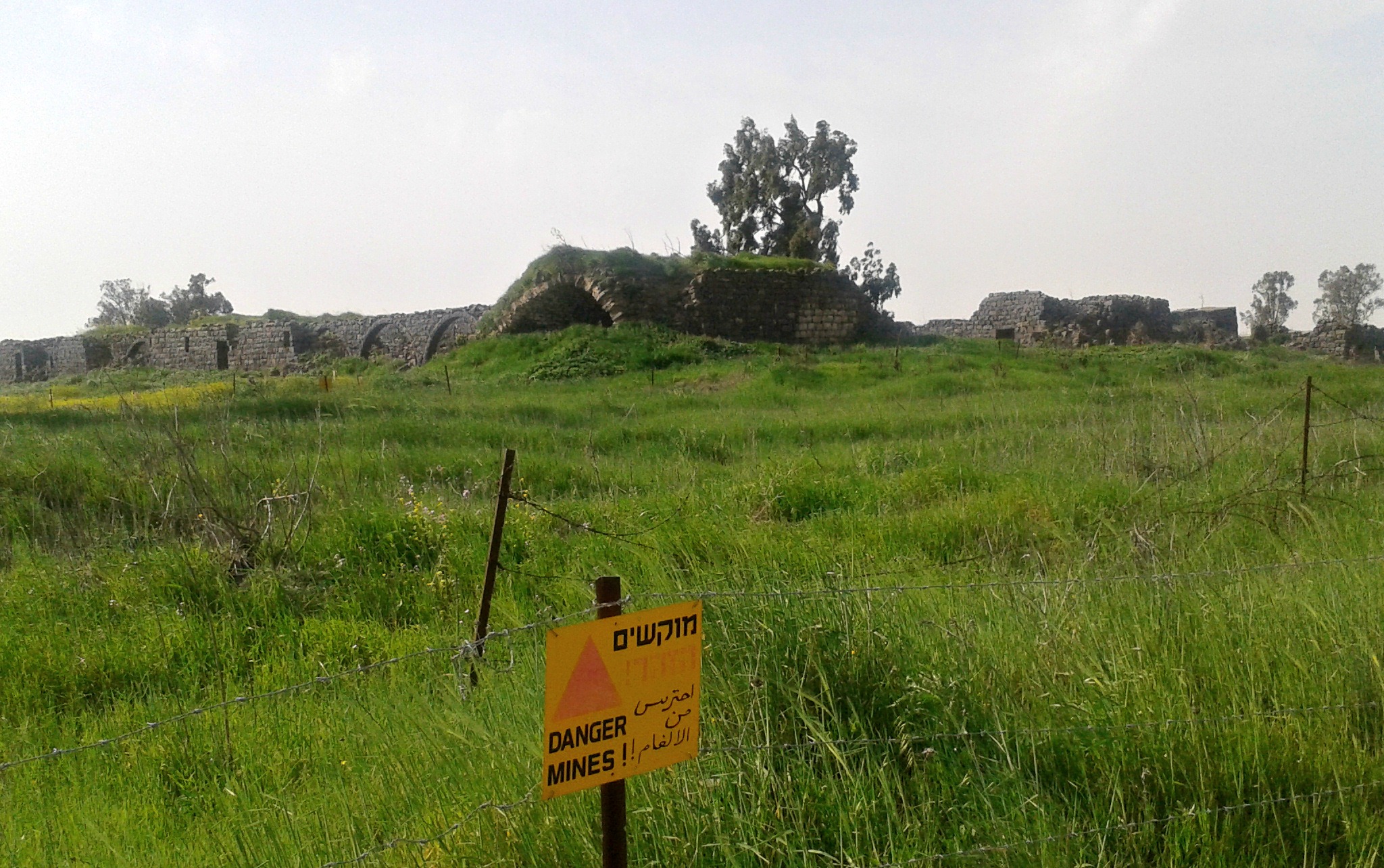
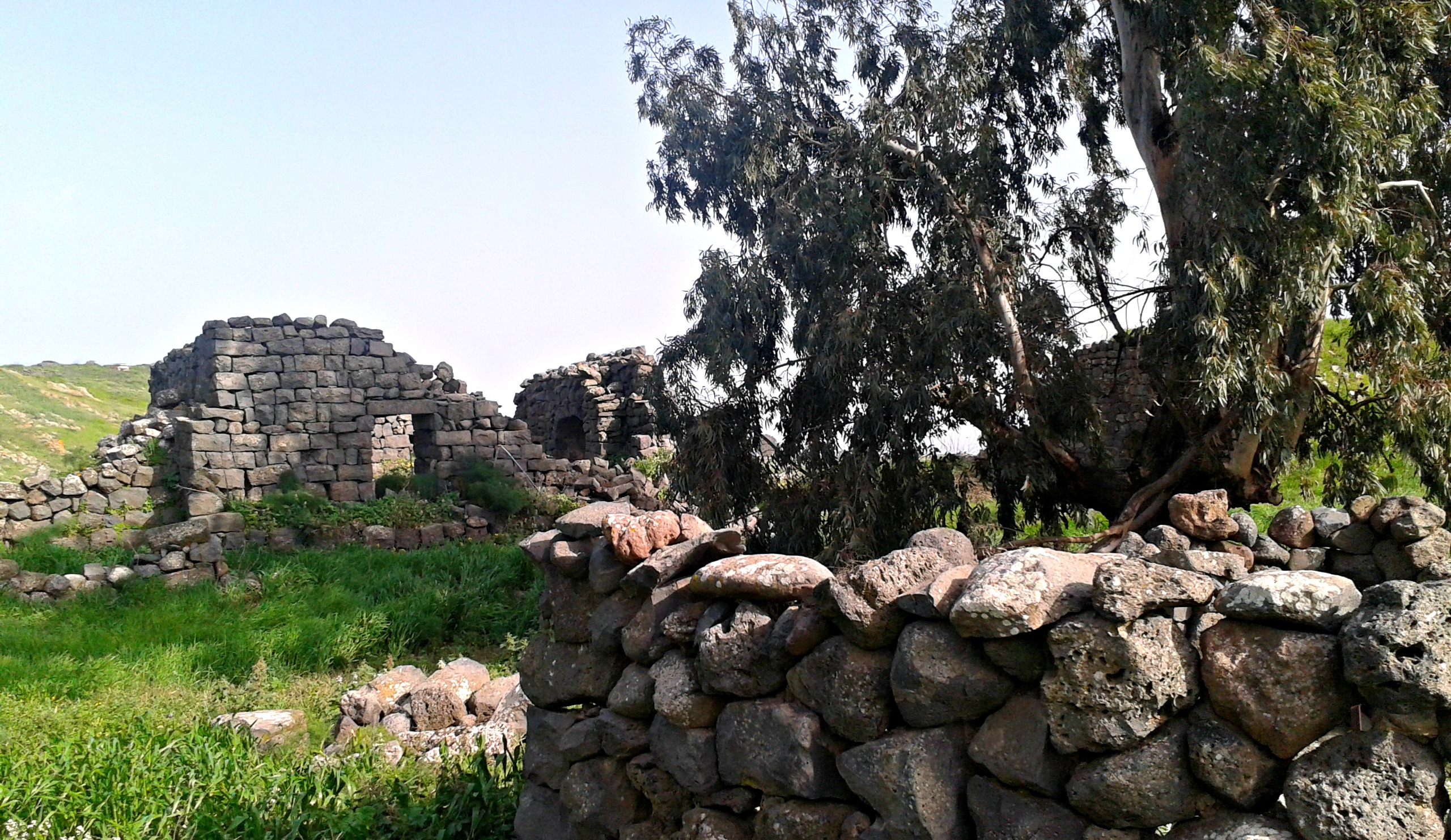
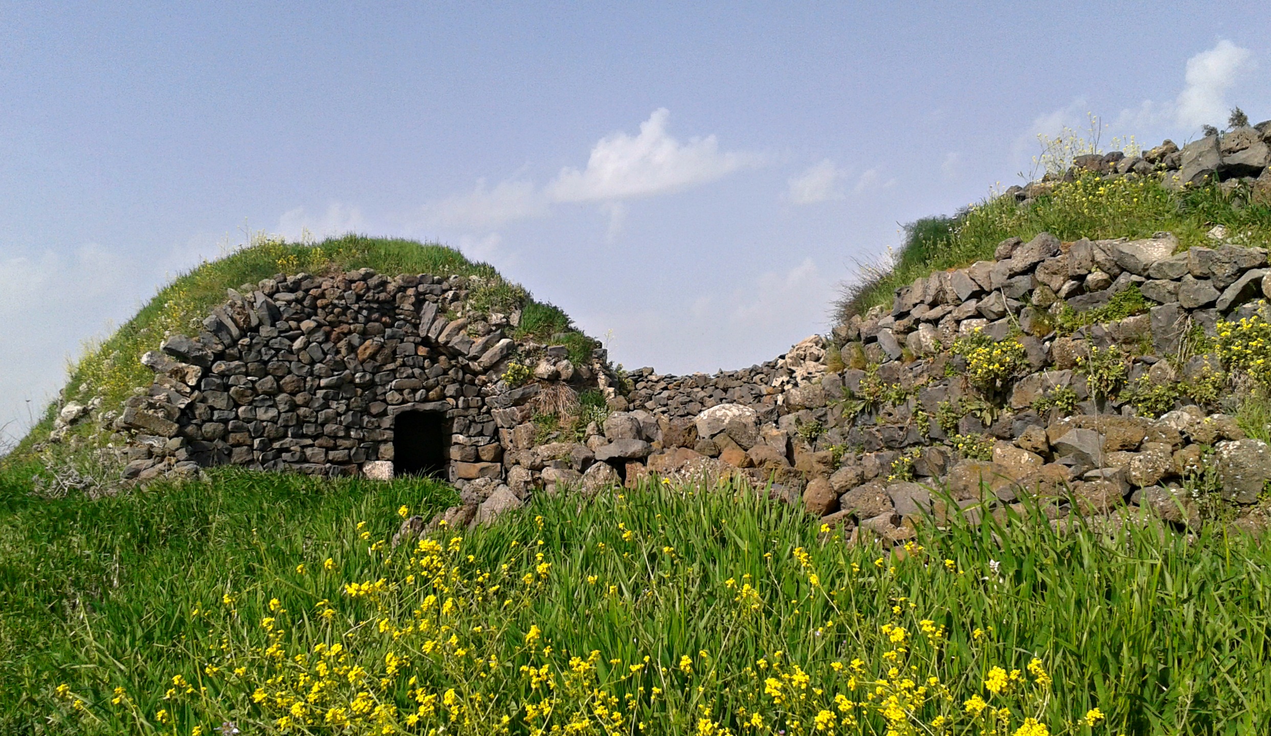
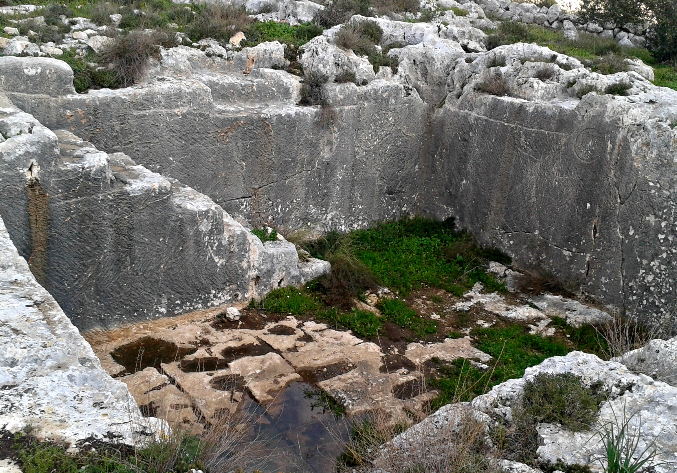
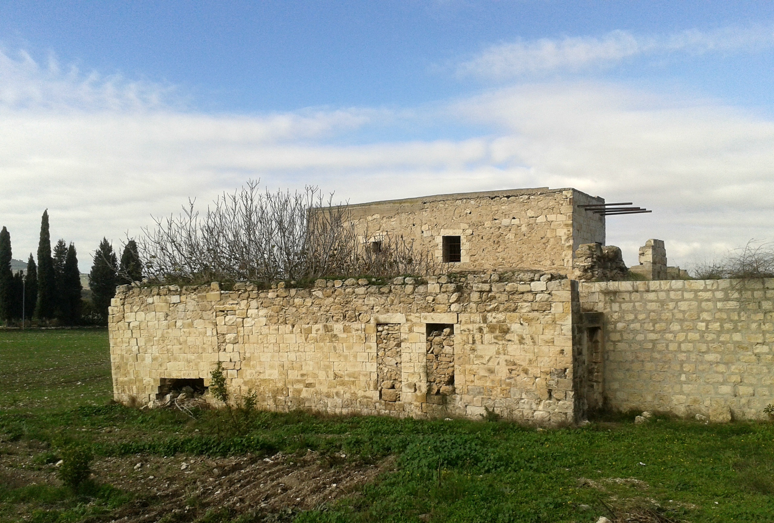
Pausing here and there to take pictures, the ruins then came to view. Built in the Talmudic Era sometime between 400 and 600CE, the Ein Nashut Synagogue is smaller but more beautiful from an architectural aspect than the other ancient synagogues of that time elsewhere in the Golan. The site was excavated in the 1980’s and an olive press was uncovered as well – the production of olive oil being the main industry for the Jewish villagers at the time. Although a fair amount of carved stones and pillars were left in their natural state in the ruins, the most ornate sections were transferred to the Golan Archaeological Museum which I would eventually go visit several days later.
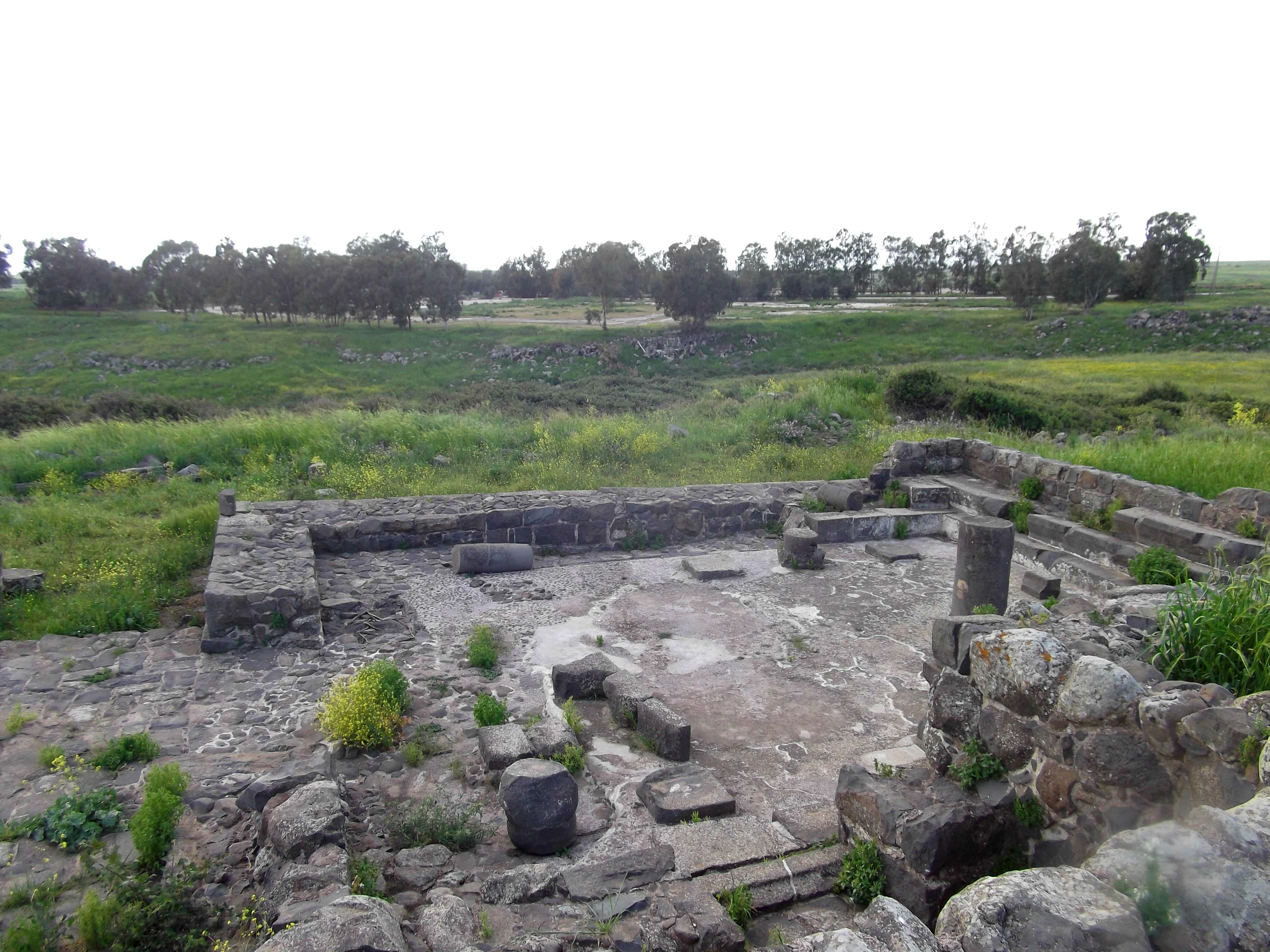
Looking down at Ein Nashut Synagogue
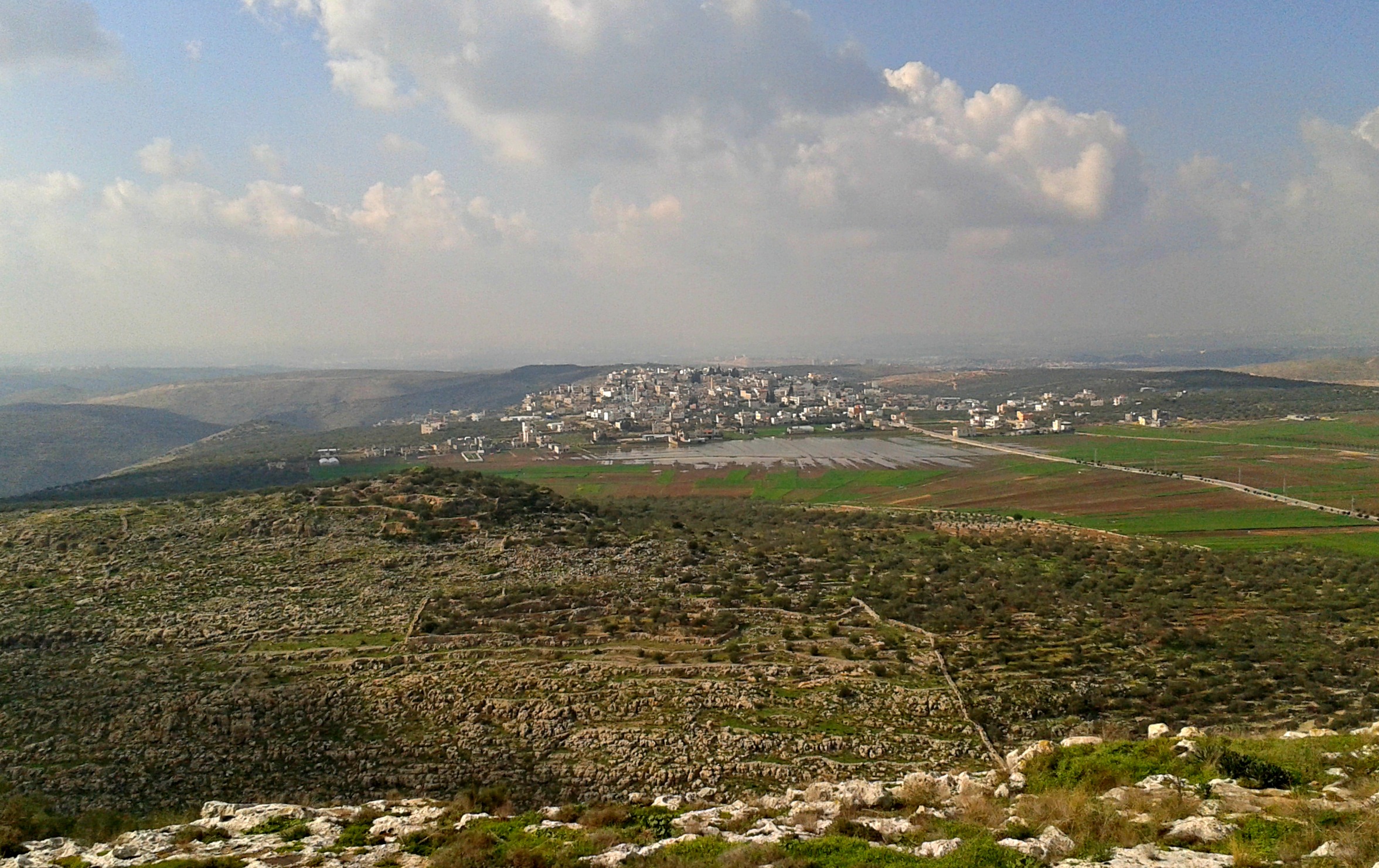
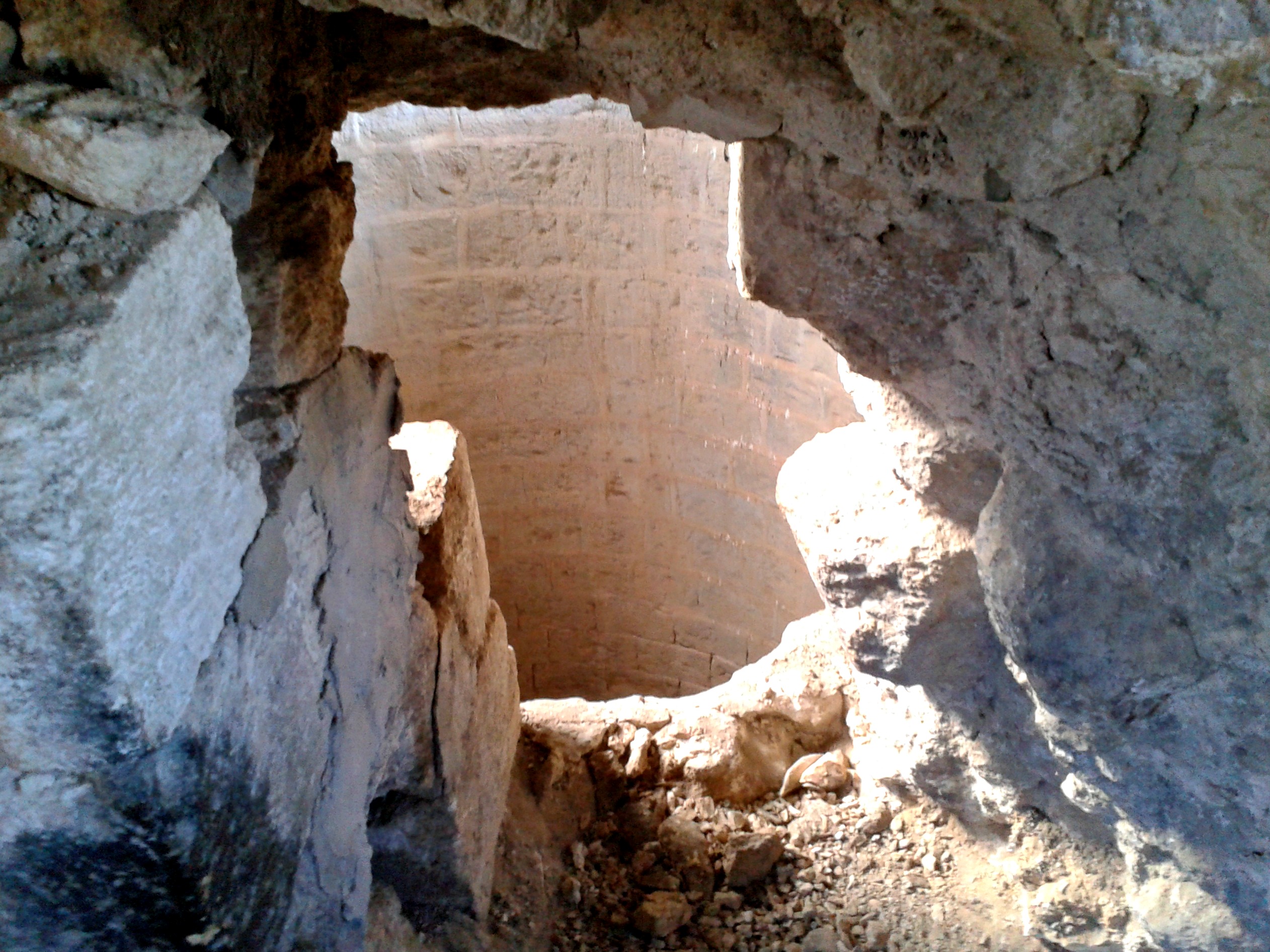
After spending a few minutes in the ruins, I decided to go a little further, not wanting to miss anything. What I found was several tumuli or cairns of small stones piled up in a surprisingly stable manner. Perhaps over time the stones settle into one another. While walking from tumulus to tumulus I gazed at the soft green landscape across Nachal Meshushim towards the town of Qatsrin. At a small circle of rough rocks, I found a tortoise rustling through the undergrowth. Swinging back, I walked along the same small seasonal stream, heading for the barbed wire fence. Just as I reached the base, having been escorted by the chirping of birds, two chukars rose into the air with a heavy fluttering of wings. My adventure at Ein Nashut was over, but the upcoming Sunday led me to another site, the Golan Archaeological Museum in Qatsrin.
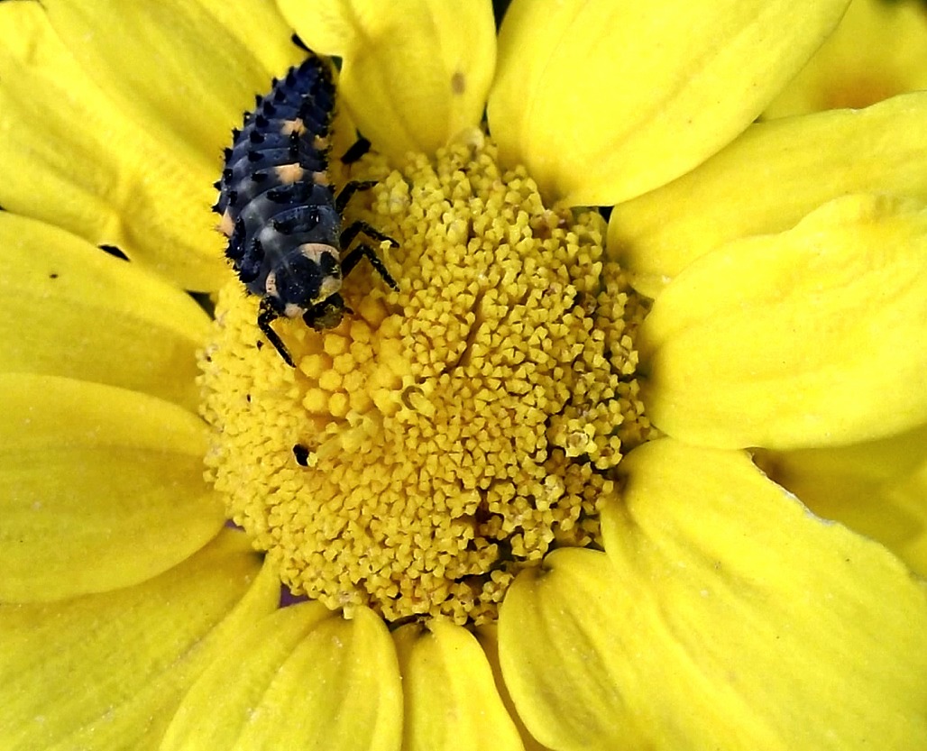
A ladybug larva on a calendula flower
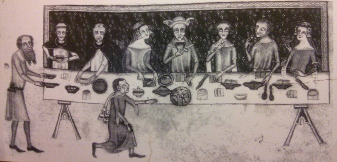
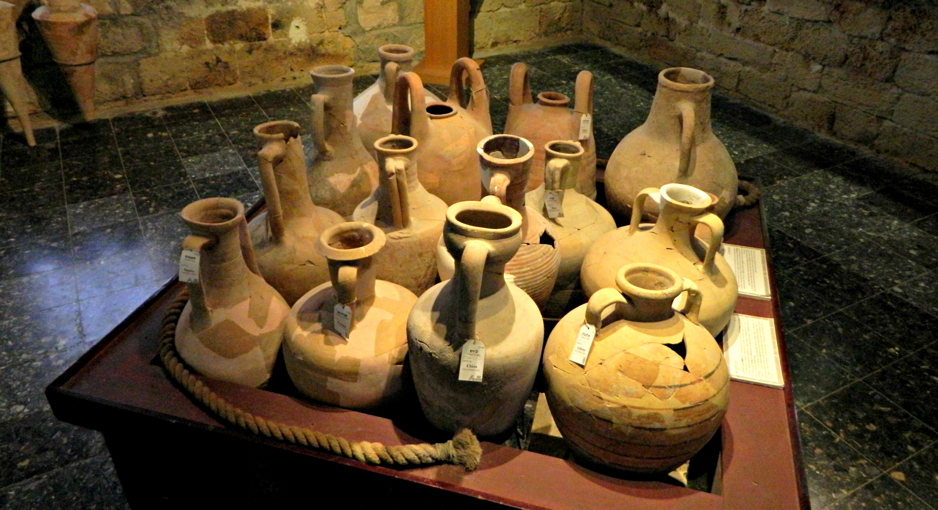
I was heading home and the driver who relieved me dropped me off at the centre of Qatsrin for me to catch the bus. However, I noticed the sign for the museum and figured I might as well visit the museum while I’m already in Qatsrin. And so I trudged over to the museum, bearing a heavy burden on my back – my 95L backpack. Inside, I received the excellent soldier discount and began to browse the displays of artefacts, items found all over the Golan. I was pleased to see quite a few remains brought over from the nearby Ein Nashut Synagogue – including arch stones, a part of the aron (or synagogue ark) and even a sarcophagus lid inscribed: “Shimon son of Abun 26 years old”.

Arch-stone from Ein Nashut Synagogue
One thing that really intrigued me was the skull, tusks and molars of an elephant found on the banks of the Jordan River at the B’not Ya’akov Bridge, a historically significant crossing site. Looking at the other animal remains, it would be interesting to see the Golan filled with lions, cheetahs, hippos and bears – some of which have only recently gone extinct in the area.
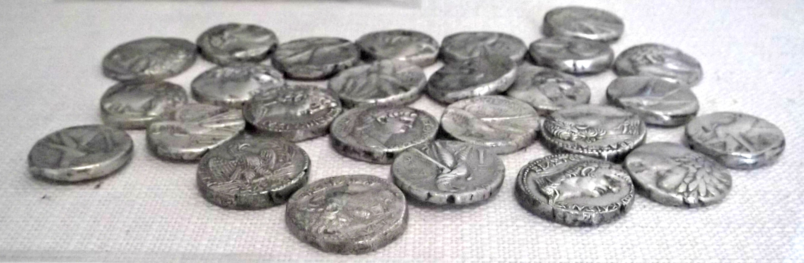
26 Tyrian shekels
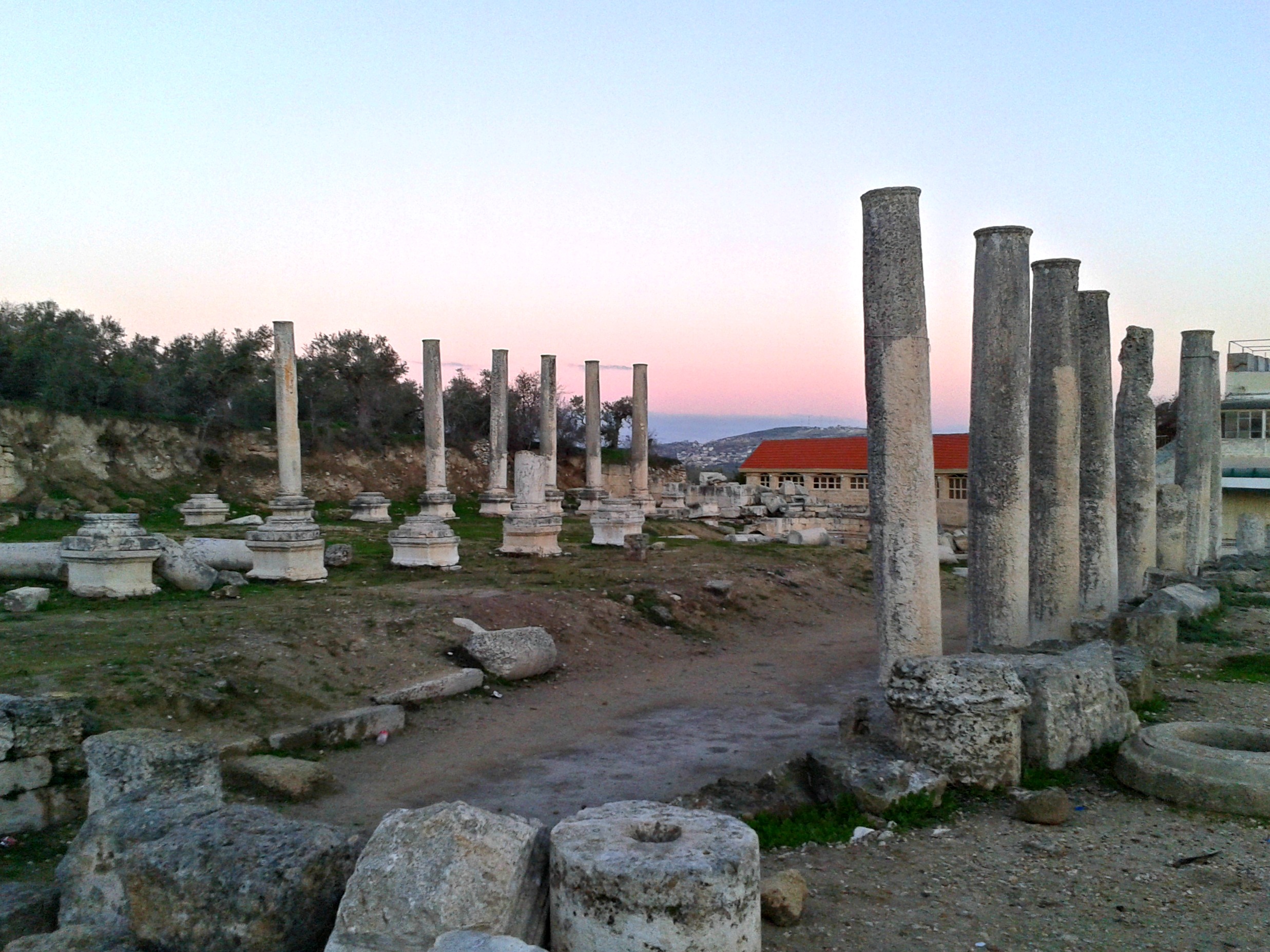
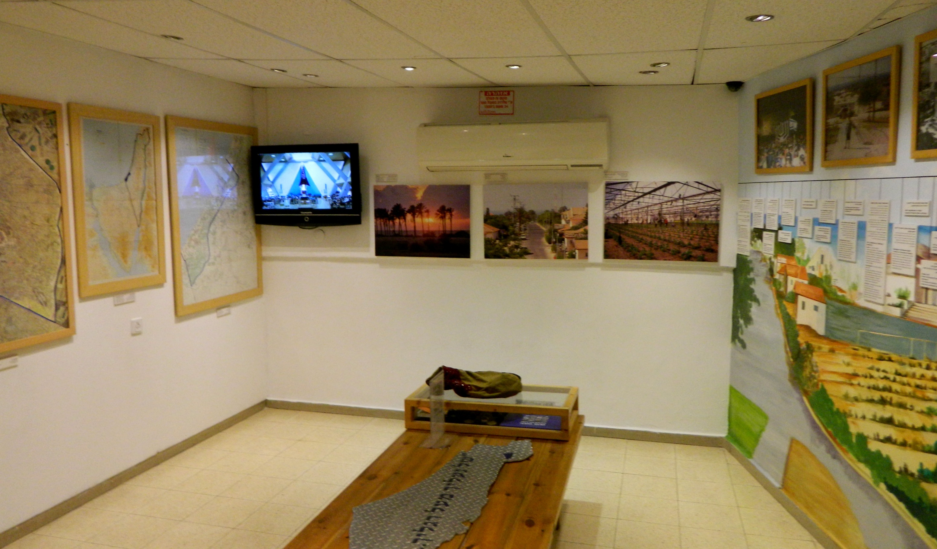
Browsing the rest of the displayed archaeological finds of the Golan, from ancient to more modern times, I headed into the museum’s little theatre to watch a video about the rise and fall of Gamla during the Roman era, a sad tale of valour and pride. Essentially the “Masada of the Golan”, Gamla was a heavily fortified Jewish town located on a strategic horn jutting out between two streams. During the Jewish revolts against the Roman tyranny, Gamla became a stronghold and was the subject of three Roman sieges led by Agrippa II, Vespasian and Titus. At last, with a act of Roman sabotage on a guard tower, the town slowly fell to the Roman forces. With the battle lost, some two-thousand Jewish men, women and children were slain in the ensuing carnage and some three-thousand plunged to their deaths in the surrounding ravines. With Gamla in ruins, the Romans then turned towards Jerusalem and then the final Jewish stronghold, Masada. Interestingly enough, Gamla fell in the year 67CE and was only recaptured by Jews in 1967, with the successes of the Six Day War. Just as the film ended, a tour group from Colorado filed in and I exited the building to see the gardens exhibitions, with many stone lintels, columns and other ornate building sections on display – several from Ein Nashut Synagogue.

Golan Archaeological Museum’s garden exhibit
Finished with the museum, I stopped for a quick lunch before beginning the long journey back home.