This past Sunday my father and I took a little trip out to the Golan, to visit two sites side-by-side, one of them quite obscure and unknown. This post, the first half of our trip, is about a place called Gilgal Refa’im in Hebrew (or Rujm el-Hiri in Arabic). The literal translation of the site’s Hebrew name is “Wheel of Ghosts”, the word “refa’im” means “ghosts” in Hebrew. These circles of stones, sometimes referred to as the “Stonehenge of the Levant”, can be better appreciated via this aerial photo that I found on Flickr:
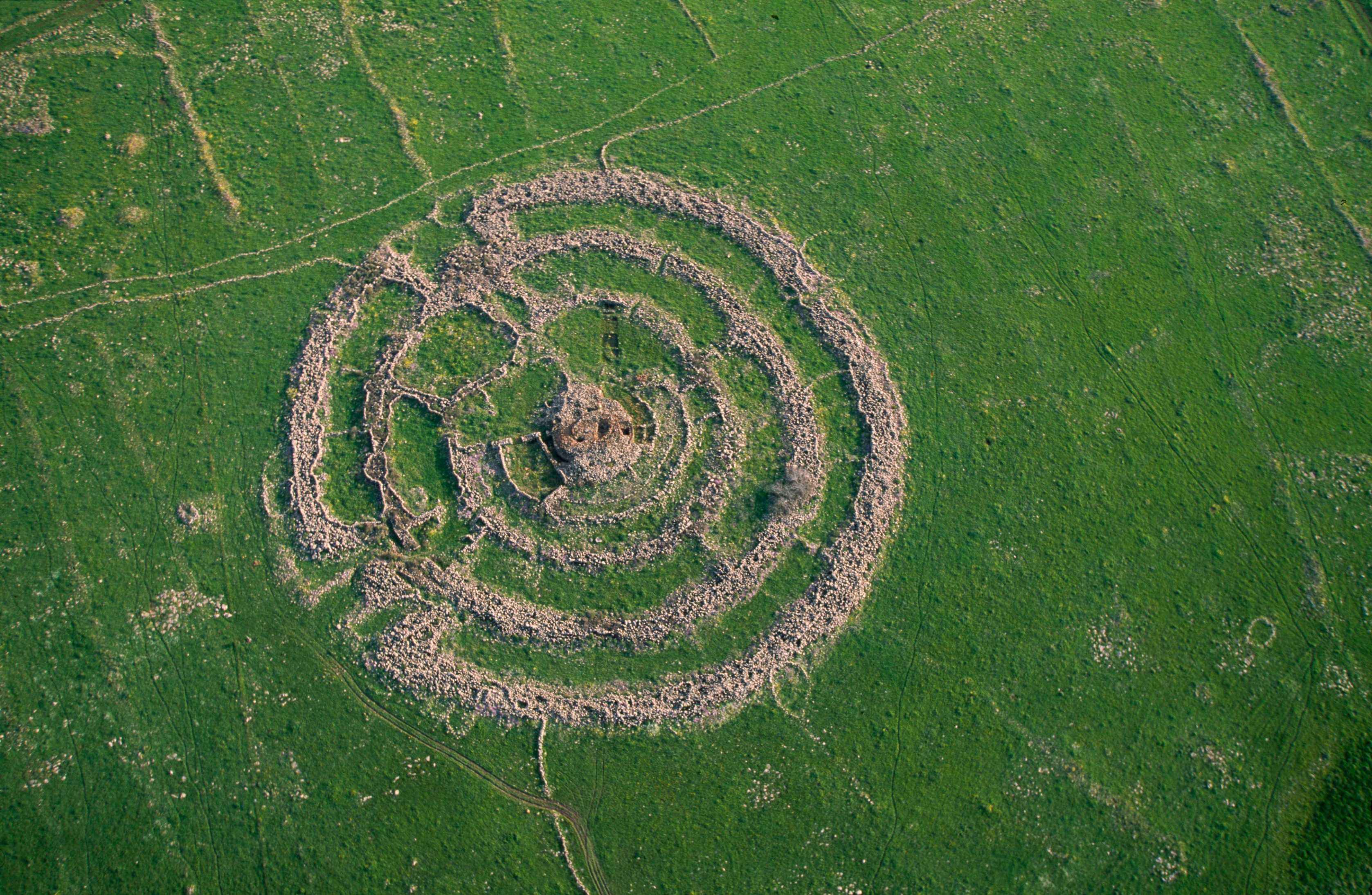
Gilgal Refa’im from above (photo: IsraelTourism on Flickr)
An obscure site at least a kilometre away from any paved road, this ancient megalithic monument has been in our sights for years. The last time we searched for it was a few years back and we basically got lost out in the plains of the Golan. This time we planned in advance and, thanks to Google Maps, we knew exactly where to go. We left the house nice and early in the morning and reached the Golan in good time, climbing the elevation via the Bnot Yaakov Bridge, the main crossing point of the upper Jordan River throughout history. Driving on Road 808 south, we skipped the entrance to Gamla National Park (the second half of our trip) and pulled over at a little dirt road. We parked and began the hike to the Gilgal Refa’im, noting the most beautiful spring scenery.
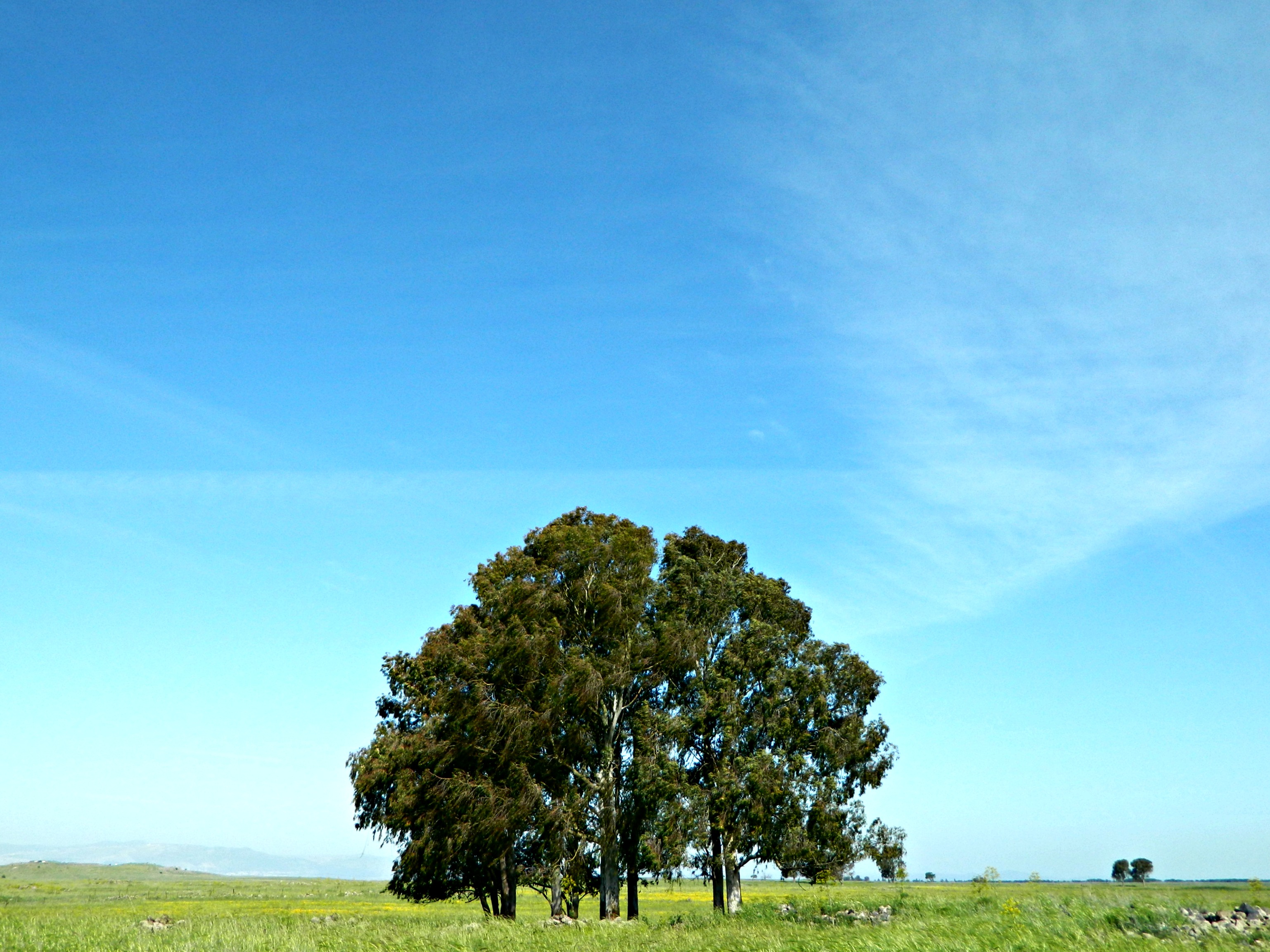
A tree in the Golan
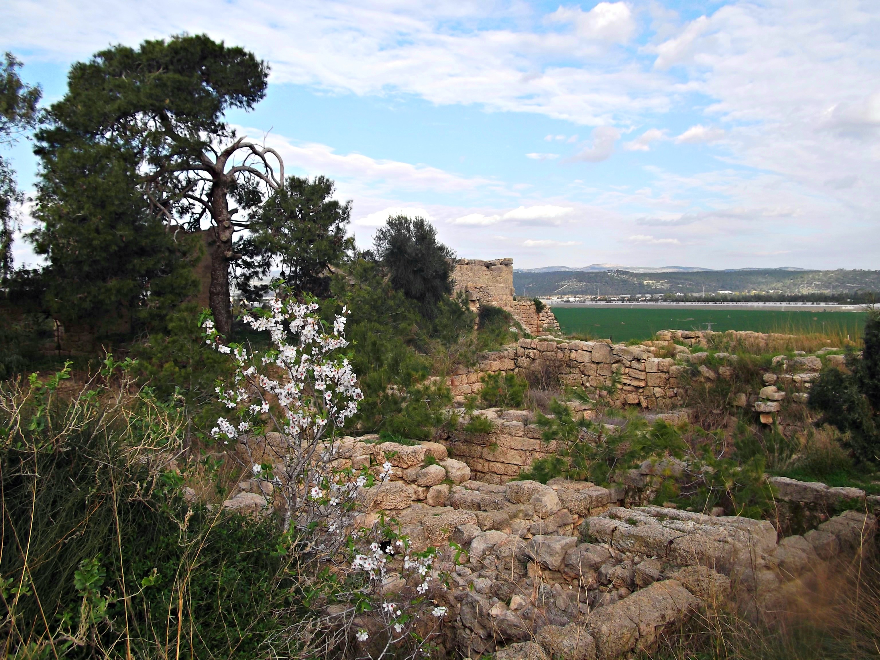
The first thing we noticed while walking was the incredible amount of little rock walls scattered all over. Here is one example, with wildflowers mixed in:
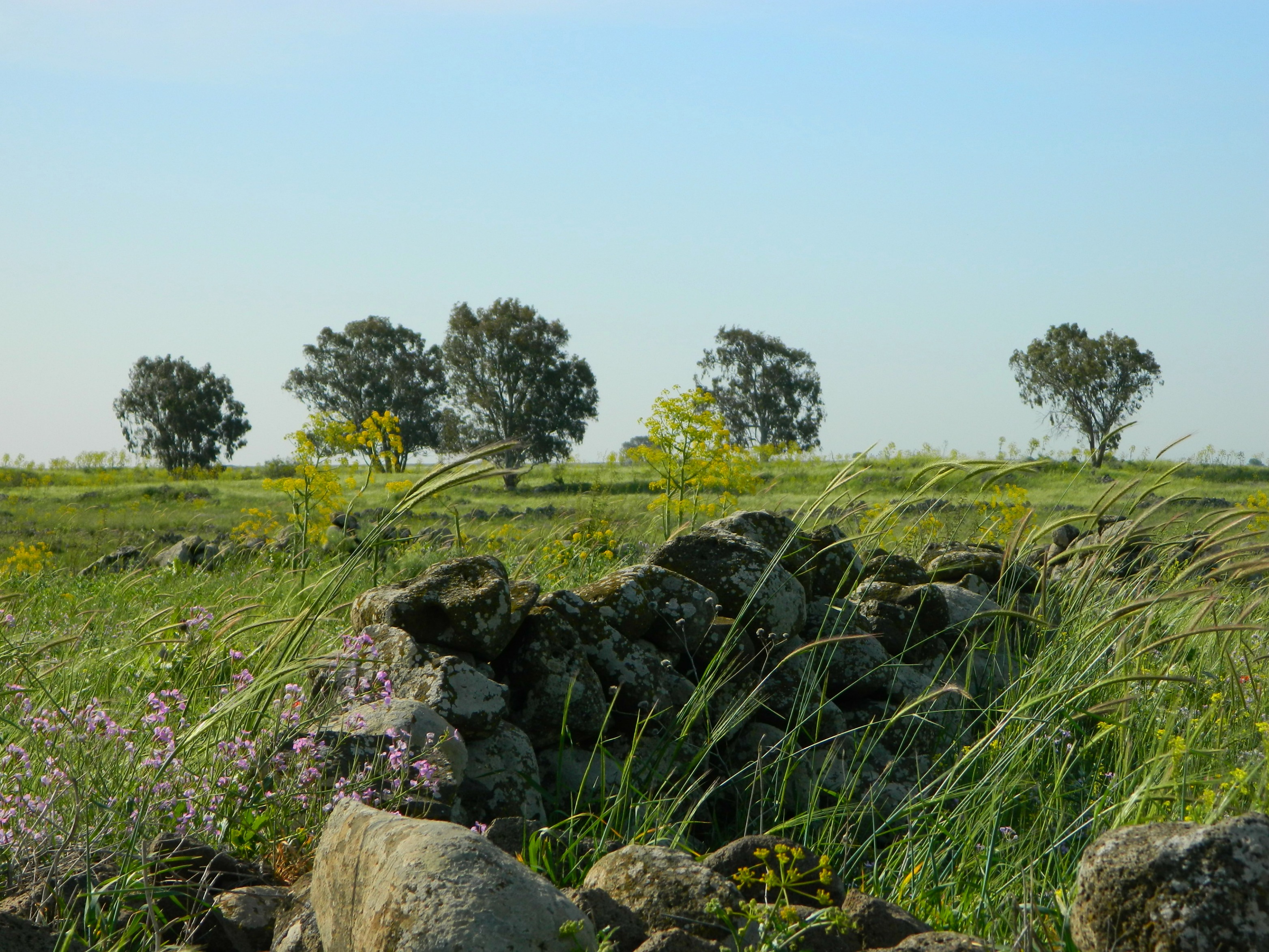
Little stone wall
After a little while walking on the dirt road, stopping over and over to film and take pictures, we came upon a “hidden” trench-like spot lined with stones and currently filled with water. We surmised that it must be a place to hide tanks, from when the Syrians were entrenched in the area. And, to further solidify this theory, there was an old Syrian bunker just a little ways further.

Possible tank trench
Beside this “tank trench” I spotted the most magnificent thistle flower, and on it was a bee and a weird bee-like beetle. The visibility of the pollen was amazing, feast your eyes!
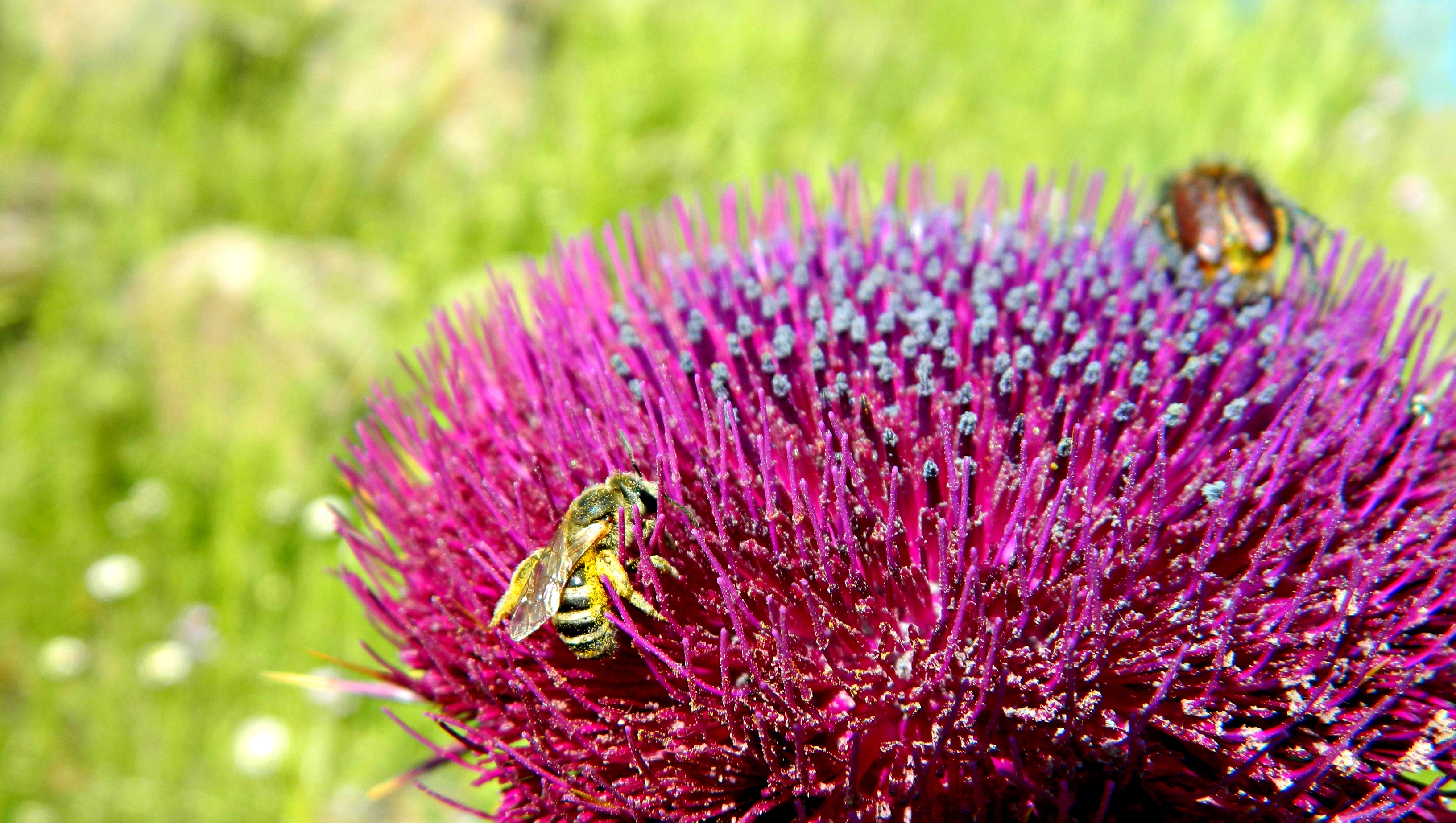
Thistle and bee
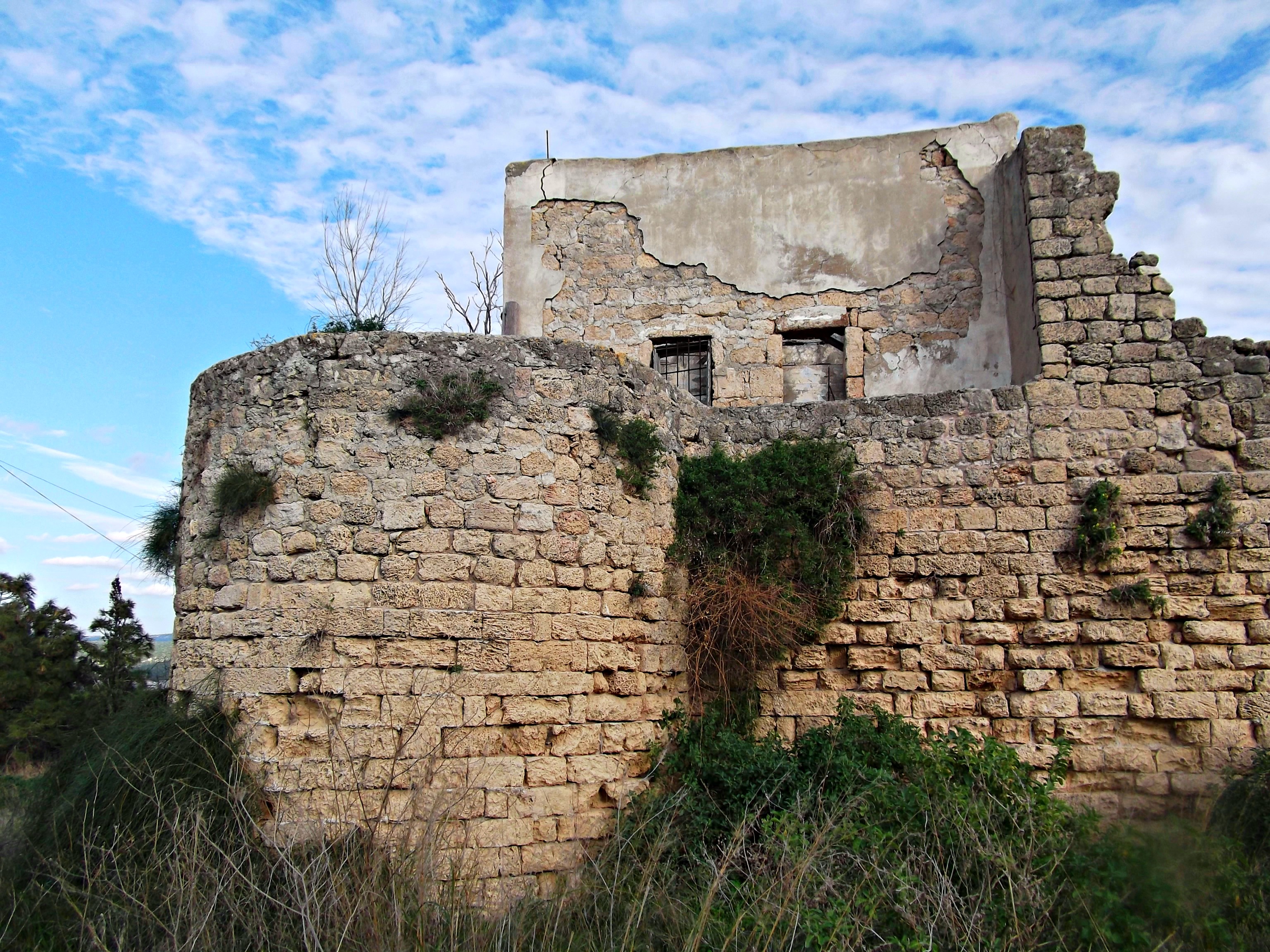
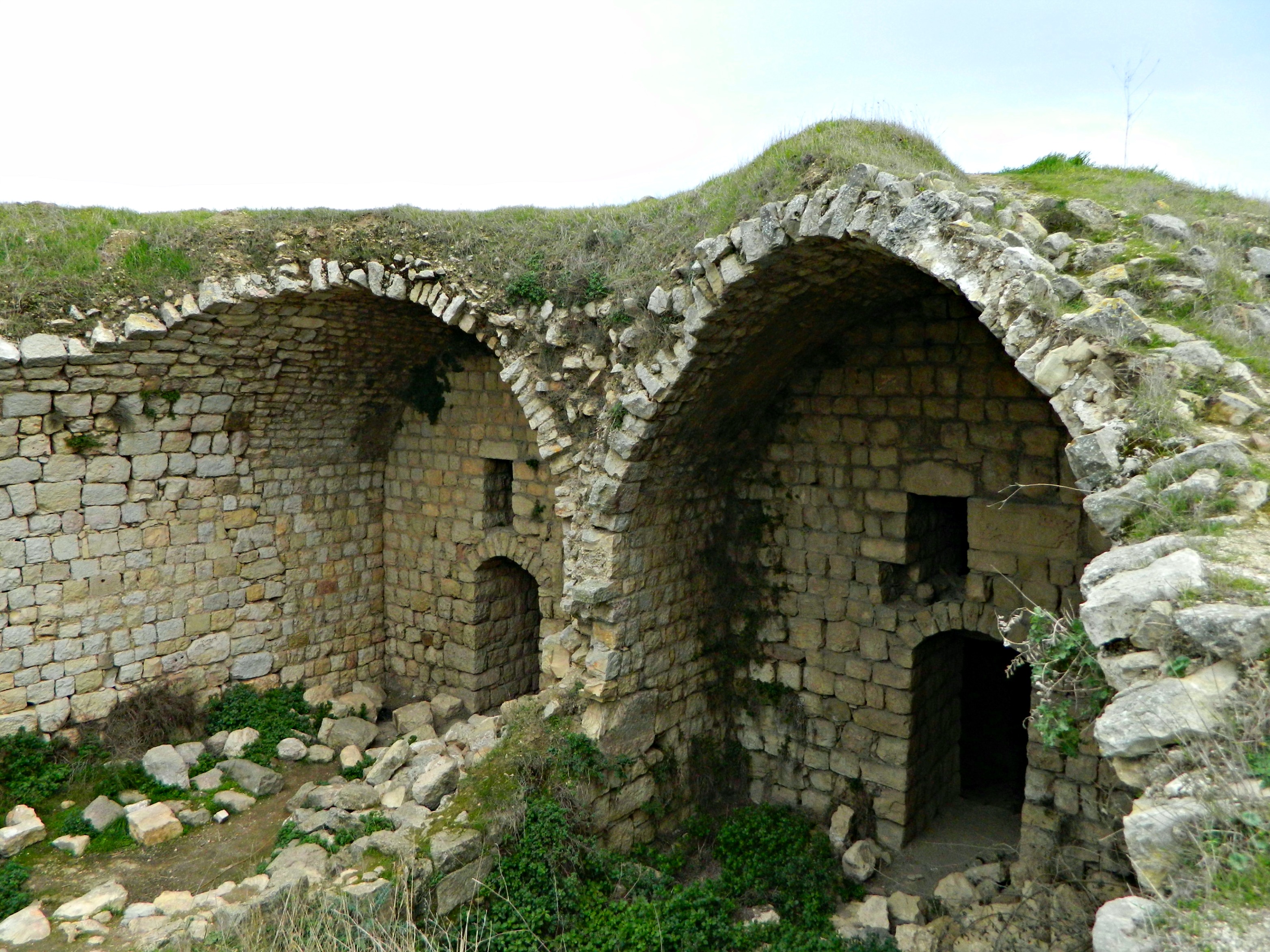
And, as I mentioned before, there was the Syrian bunker, made up of basalt rocks encaged in wire fencing. We walked up the trail and entered the old bunker.

Old Syrian bunker
Inside, after descending the sunlit entrance tunnel, it was really dark and so I turned on my phone flashlight to illuminate the gloom. What happened next surprised me. There was a flurry of wings and a little bat flew at my face, and then did an about-turn and flew back into the gloom. Then, again it flew at me, and then turned back. It kept up this back-and-forth so I called for the camera and opened the flash hoping to get a good shot as he approached. It didn’t come out terrible well, but there is no mistaking that little bat flying at the camera (click to enlarge):

The horseshoe bat in the tunnel
We followed the bat into the darkness, using only the phone flashlight to see. I felt like this was a scene from a grim fairytale where we were being led into the dark and foreboding cave, similar to a scene in one of my favourite films, Pan’s Labyrinth, where Ofelia is led by a fairy into the labyrinth. Regardless, we followed the bat blindly through the old tunnels until we came to an exit and then it flew away. Researching Israeli bats I have decided that it was definitely a horseshoe bat, perhaps the Mediterranean specie. Here is a grainy shot of him hanging before disappearing:

Horseshoe bat at the bunker exit
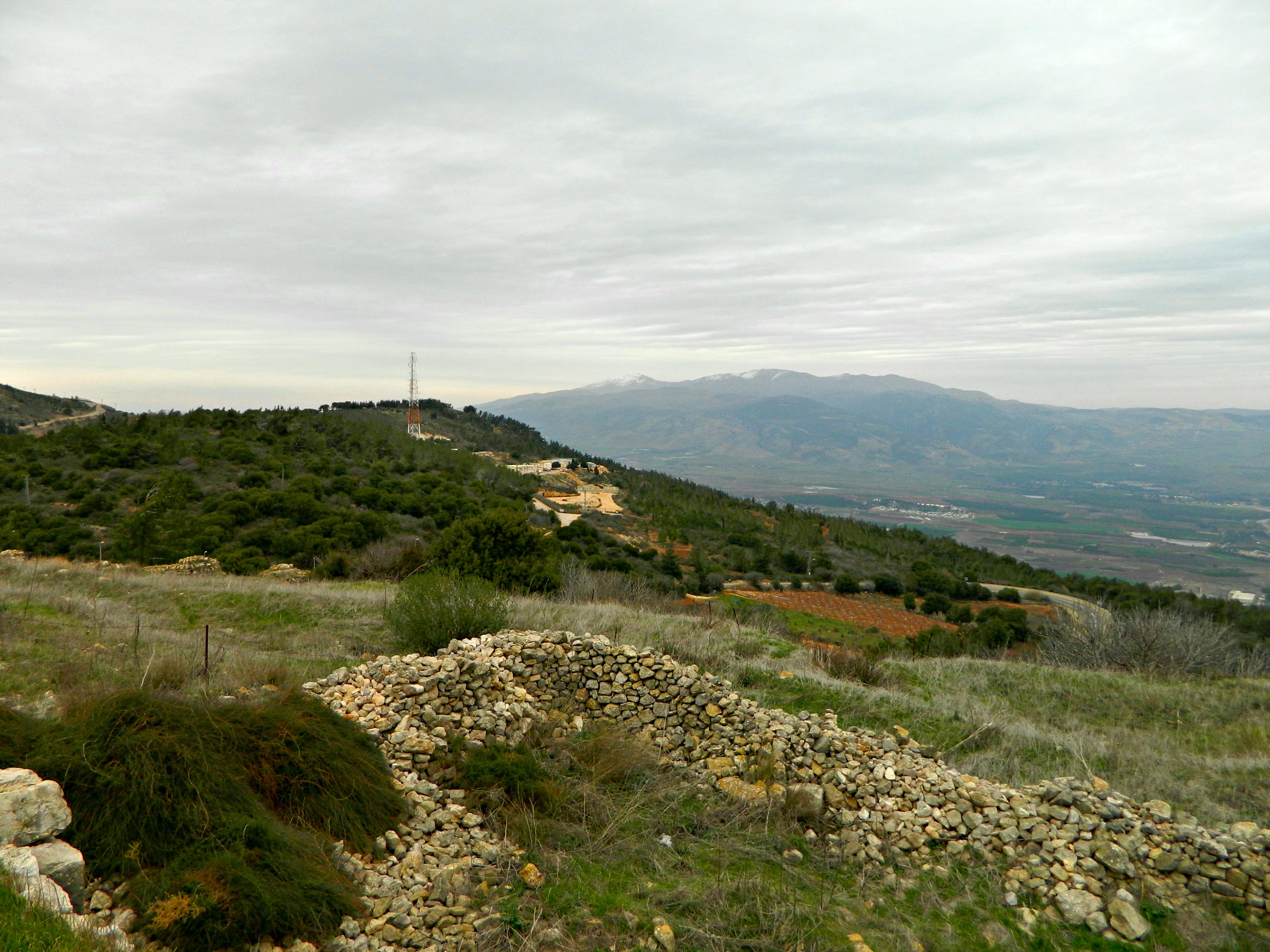
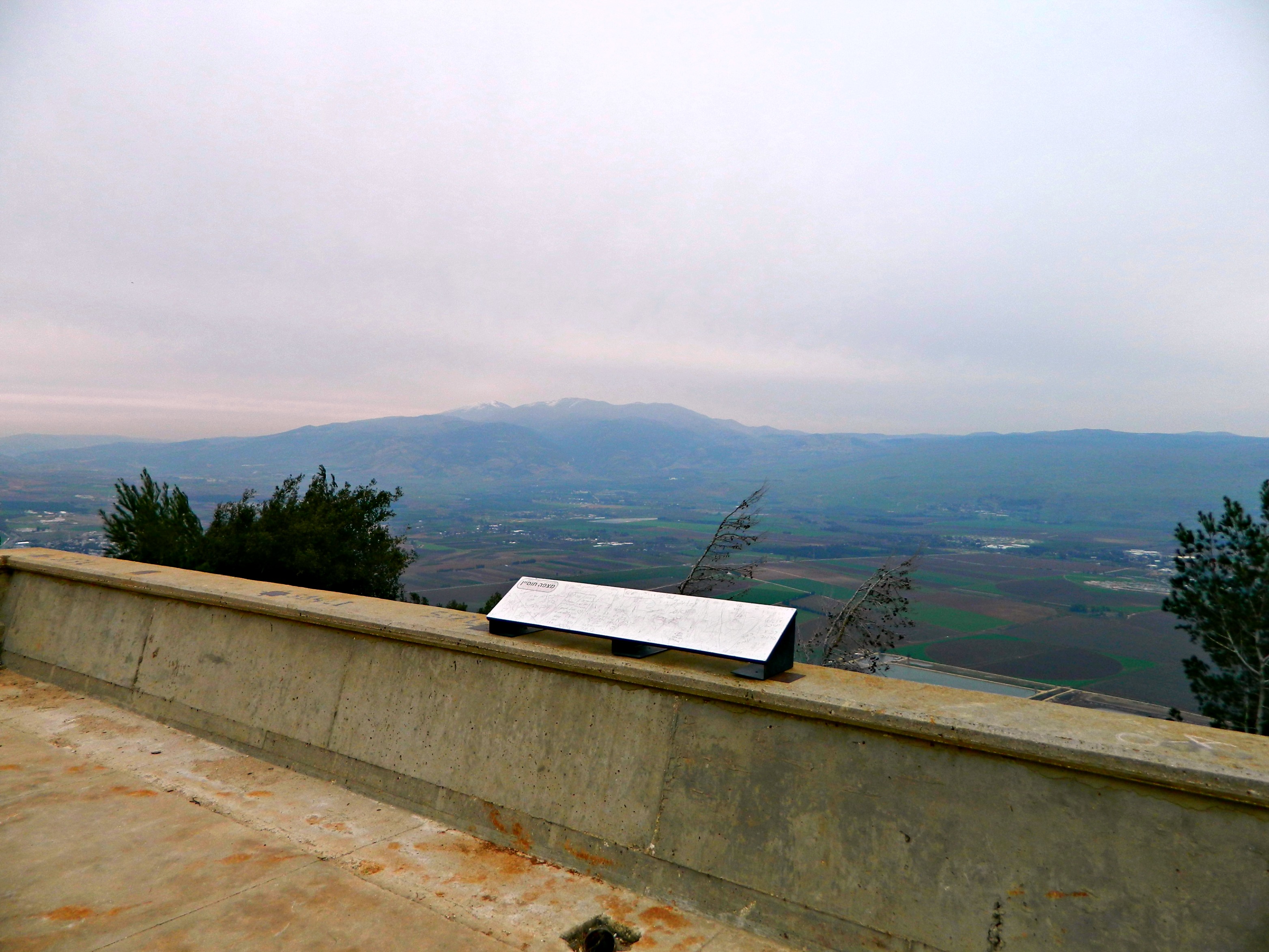
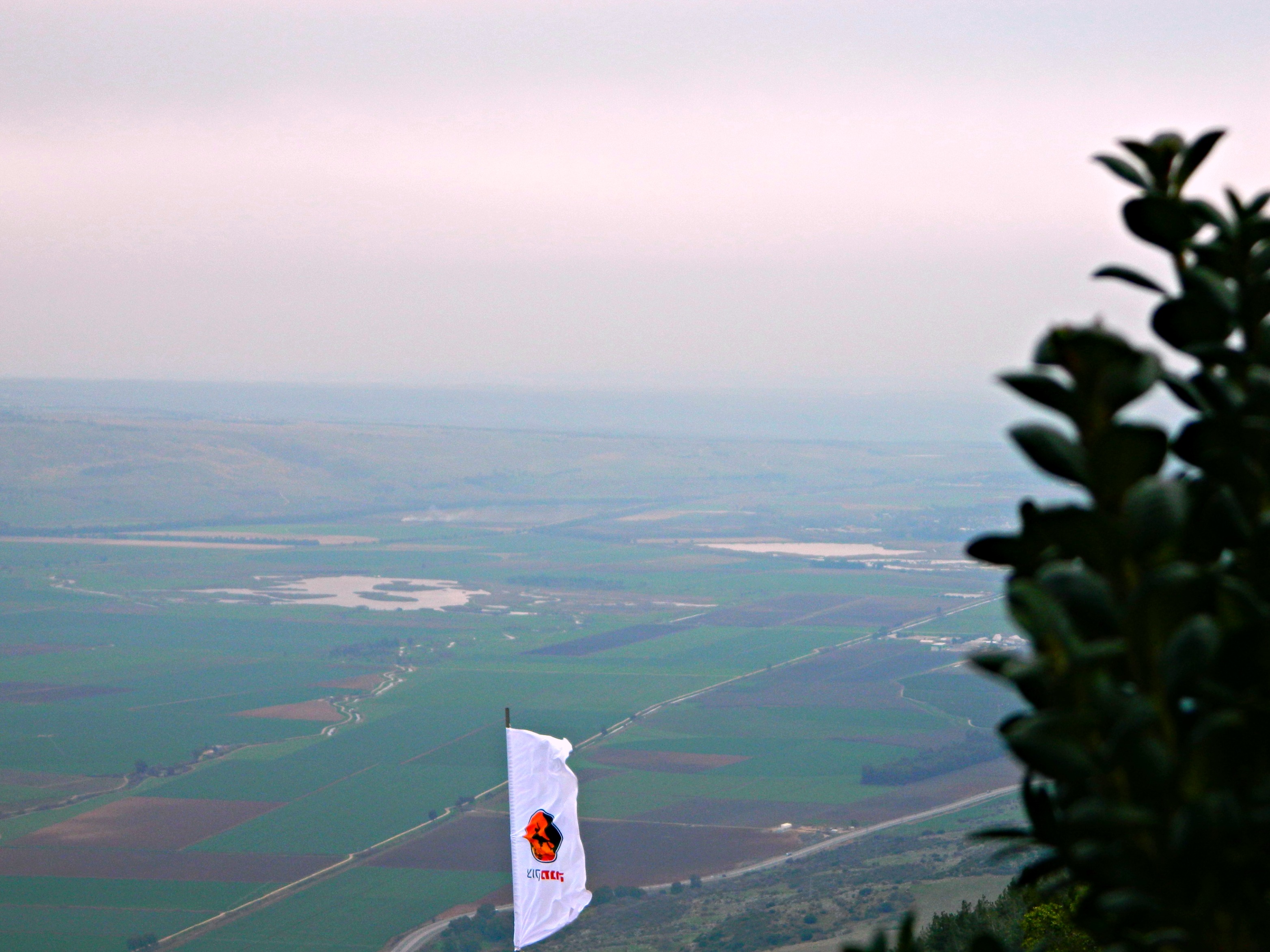
Emerging from the bunker at the upper level, where the rooftop trenches and gun turrets are, I once again marveled at the sweeping beauty of the area:

View from the bunker
Descending from the bunker roof we hit the dirt road again and began to see signs warning soldiers not to shoot at the antiquities. And then, a turnoff and we were approaching the site. Not so visible from eye-level, we crossed the Daliyot Stream and found ourselves, at last, at the outer circle of Gilgal Refa’im. I climbed up to get a shot of the alternating stone walls and wildflowers that ringed the central mound.
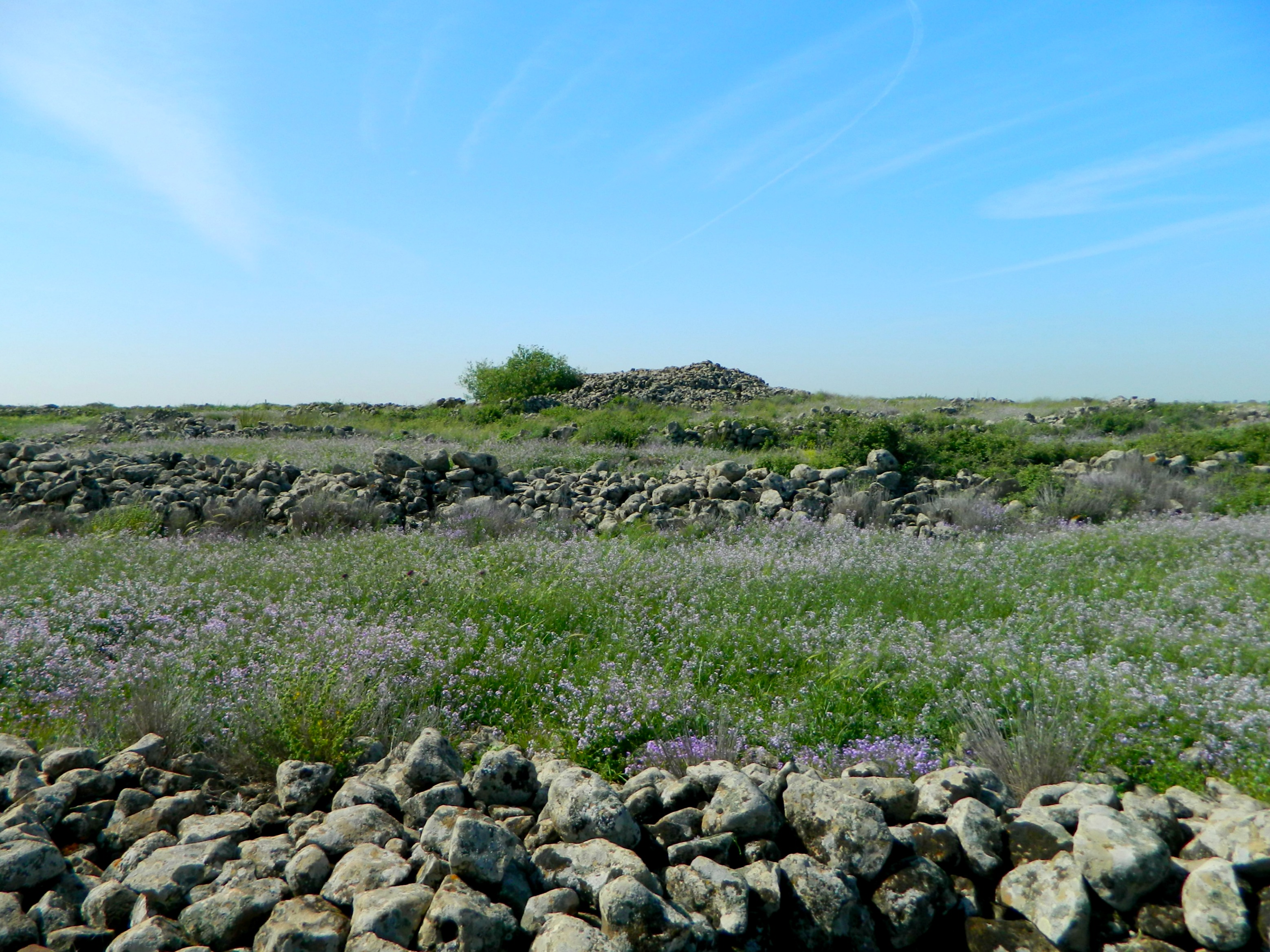
Circles of walls and flowers
As we climbed the eight-foot high outer wall, and then the next wall, and the next, I noticed that the rocks were particularly ornamented by lichen, a great amount.

Interesting lichen
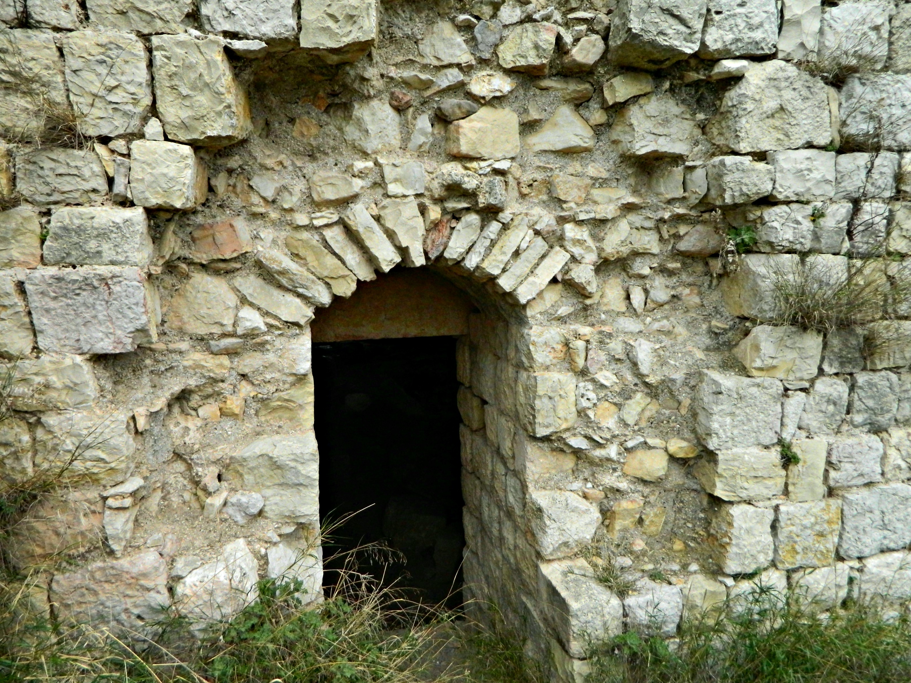
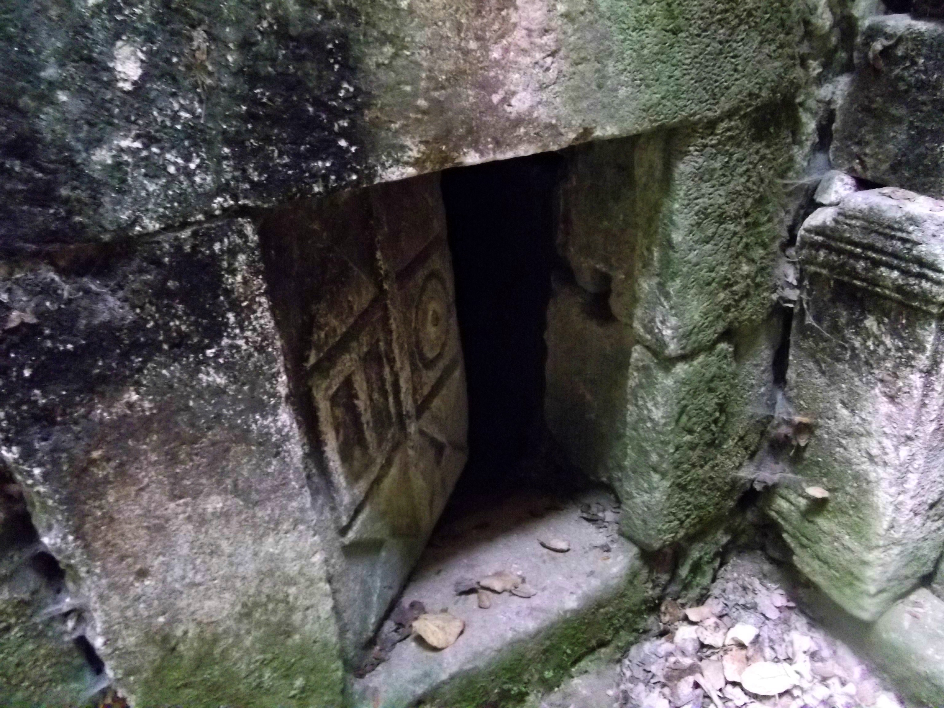
At last we reached the fifteen-foot high central mound and noticed a pit in the stone pile, but we kept walking around the top, taking pictures of the cool circles which ringed us. According to an Oxford archaeological guide, there are 42,000 stones that make up the entire site. My father suddenly had the idea to step into the pit, and when he did so exclaimed that there was a cave down there.

Looking down into the cave entrance
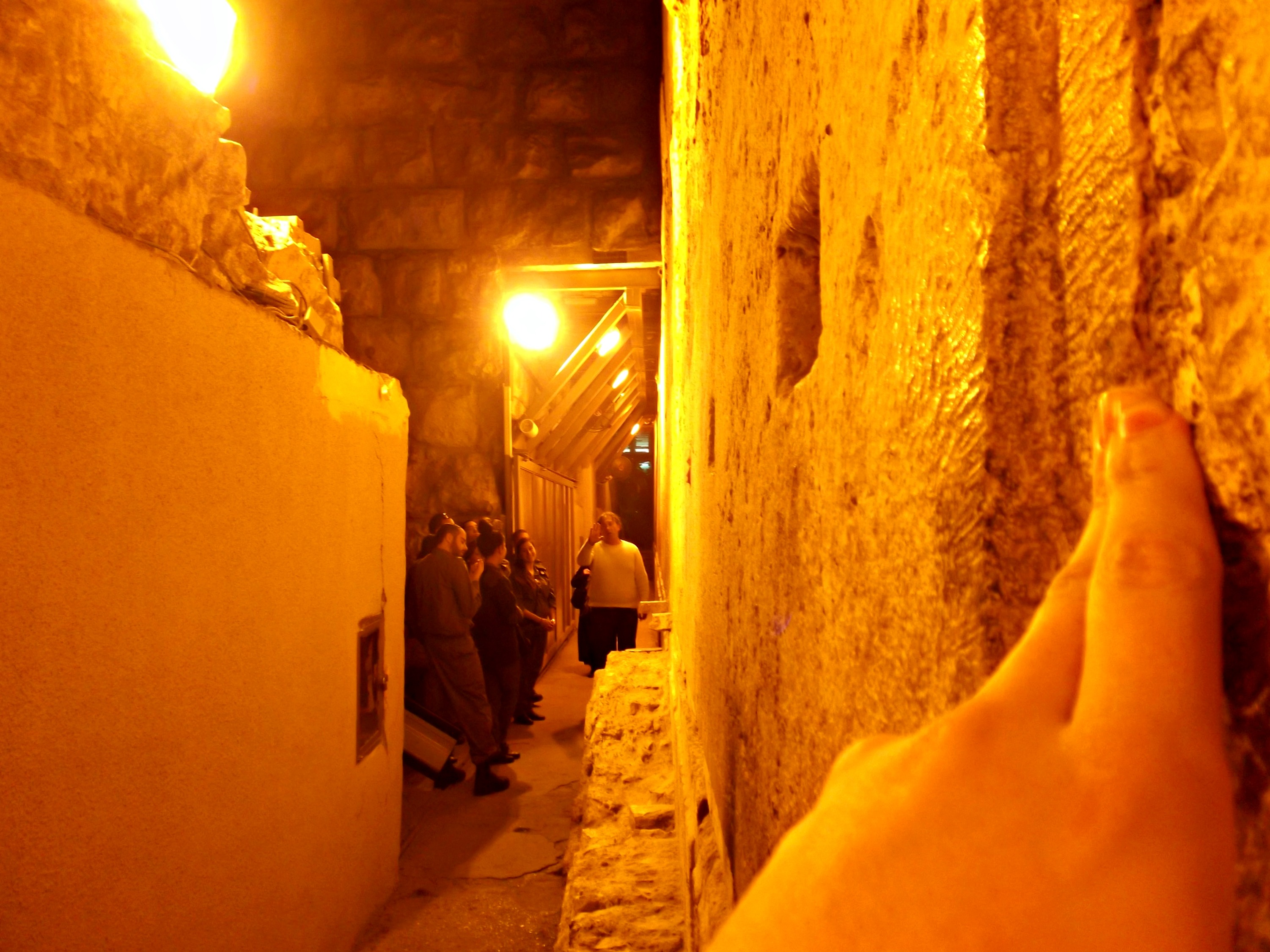
I followed him, scooting through the narrow passage, and we made ourselves comfortable in the little cave.

Within the little cave
Whilst enjoying the coolness of this little cave, I figured I should probably look for more info on the site and I found this: Gilgal Refa’im is believed to be either a tomb, a stellar calender, a ritual centre, an observatory or several other theorised places perhaps even created by biblical giants. Basically, nobody knows what this site is for and that definitely adds to the intrigue of the place. If there was one thing I could see in history, if very well might be watching the biblical giants in the Golan – the terrain is just perfect to see giants thundering down the plains. At last we left the comfort of the mysterious little cave and climbed back over the numerous stone rings, heading back to our car.
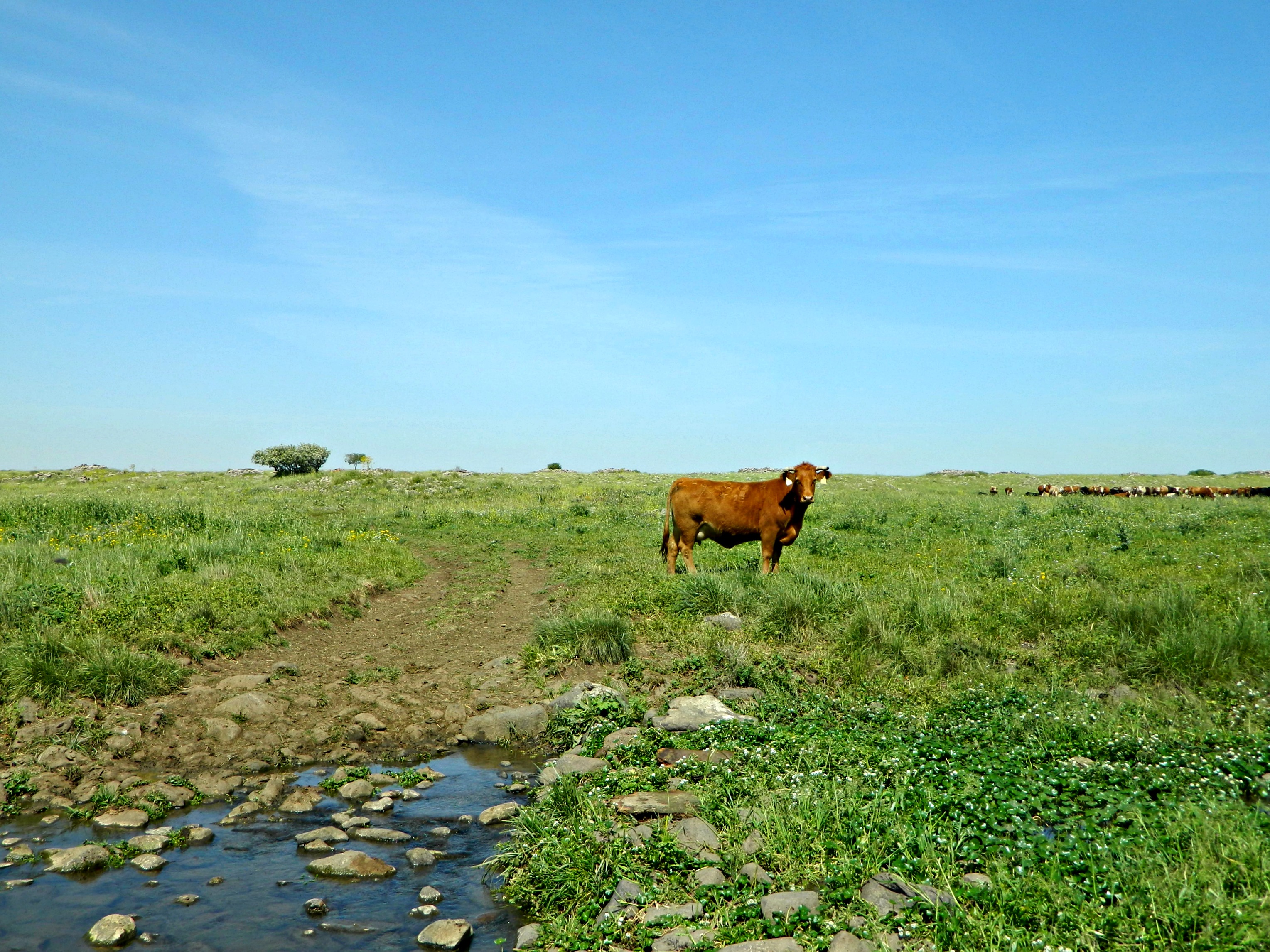
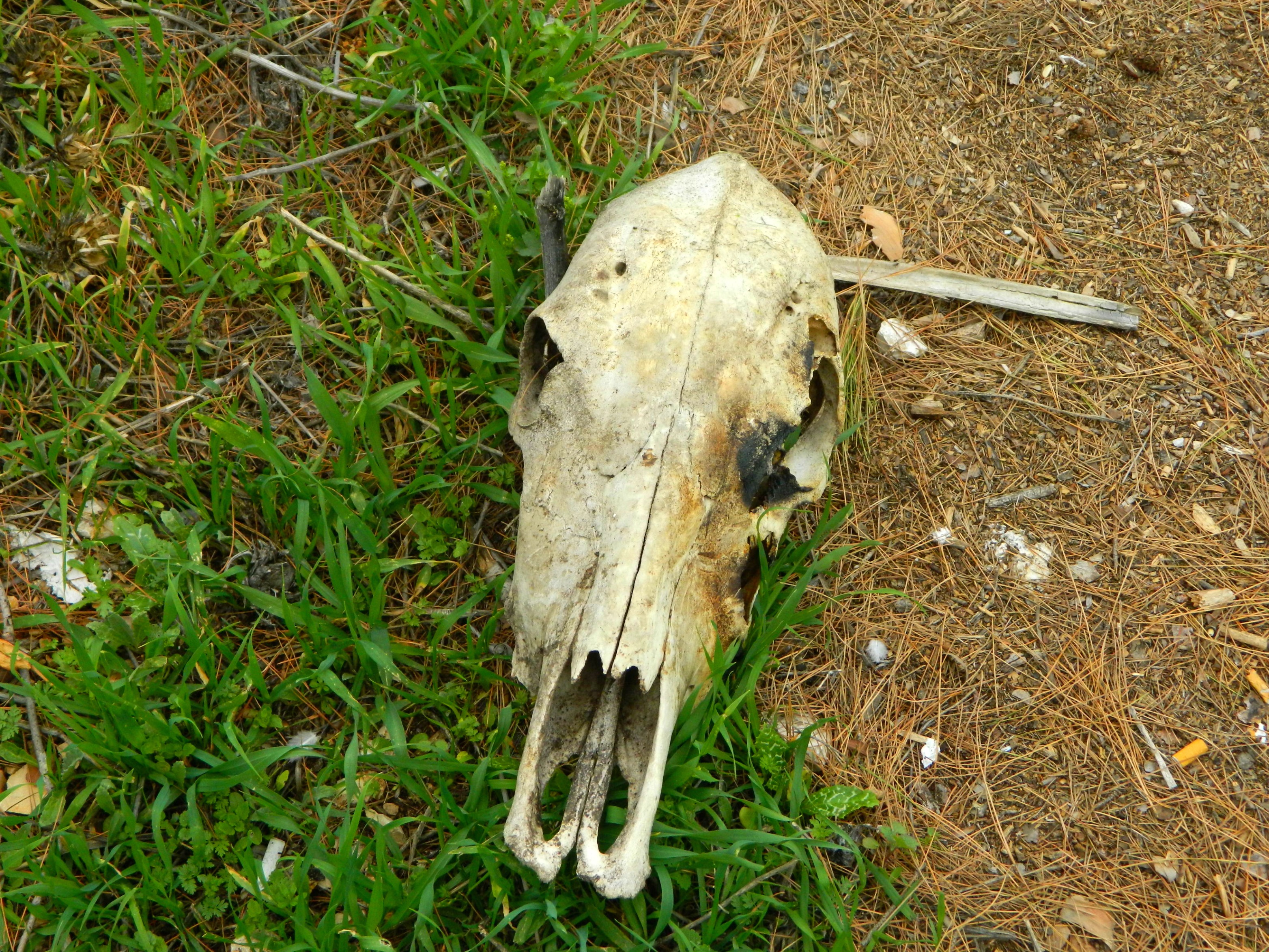
A cow at the Daliyot Stream
Next site, Gamla!


