Israel's Good Name

University Trip: City of David

In Israel, Jerusalem on August 13, 2017 at 7:29 AM

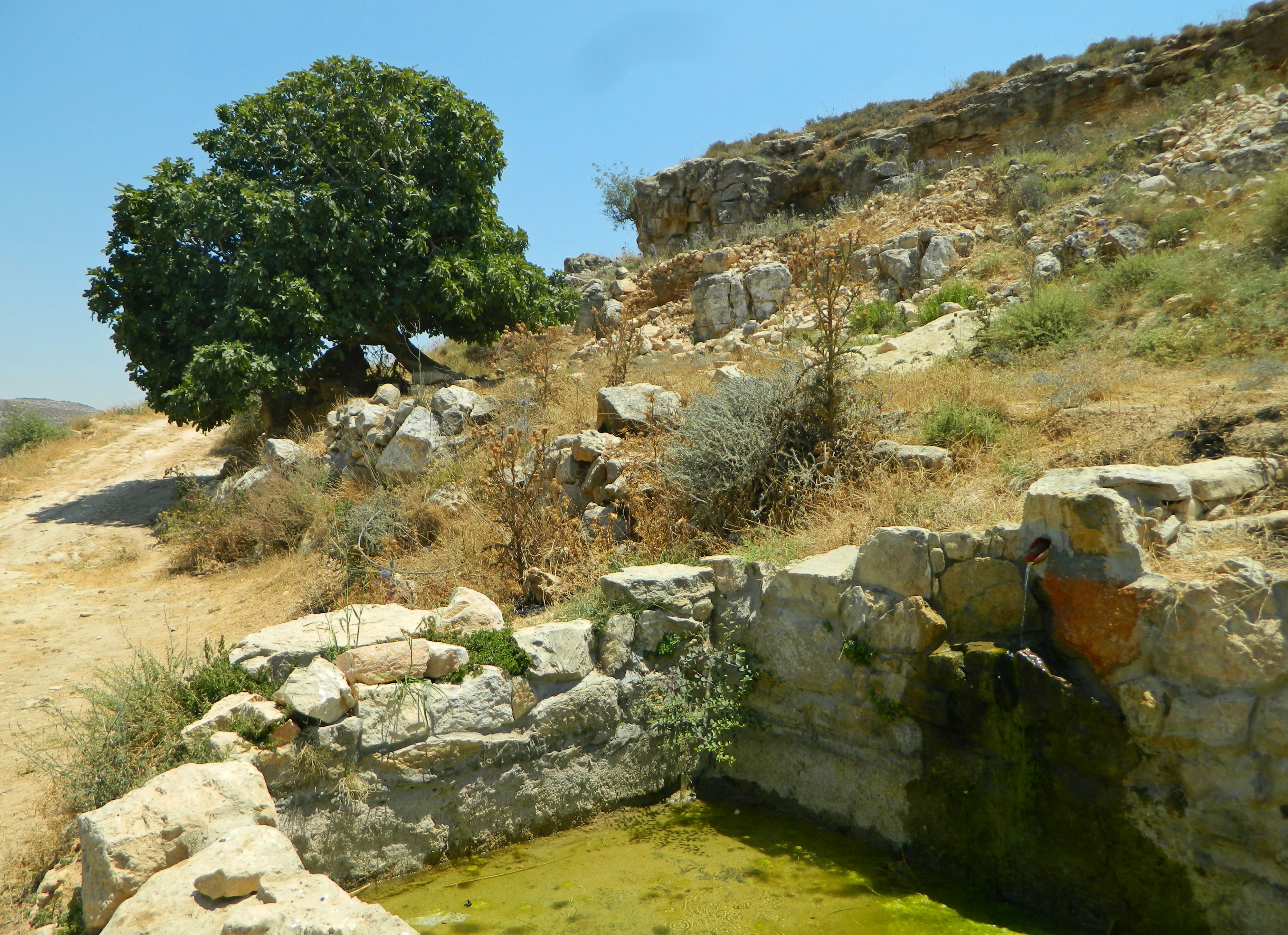
The day following our Bar Ilan University academic tour to “Moshavot” of the Galilee took us on another tour, this time of the famous City of David in Jerusalem – where we all had to meet at the given time. But, my morning was wrought with strange inconveniences, for when I disembarked at Jerusalem’s Central Bus Station and attempted to then board the light rail, I discovered that my RavKav public transportation pass had disappeared – stolen or dropped. It was an hour or so after the prearranged start time for the tour when I was issued a new RavKav and so I made my way to the City of David in hopes of salvaging what I could of the tour. Located just outside the Old City’s walls on the southern side, I elected to walk through the Old City – a pleasant walk. Making my way through the Armenian Quarter, I then passed the small and obscure archaeological park called Gan HaTekuma and I exited the Old City via the Dung Gate next to the Kotel (Western Wall). Turning east, I laid eyes upon the Givati Parking Lot Excavation site for the first time and then continued to the City of David.

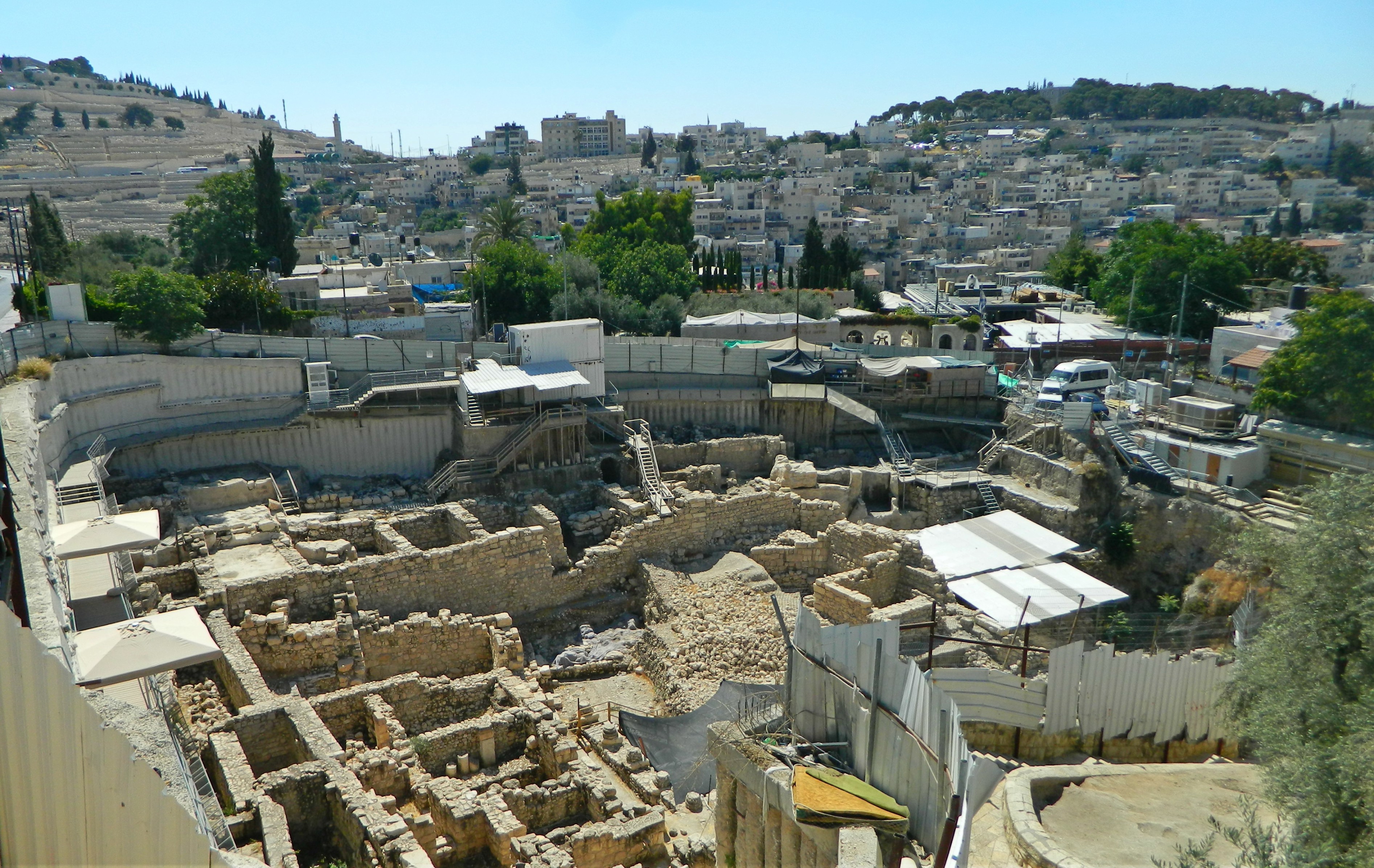
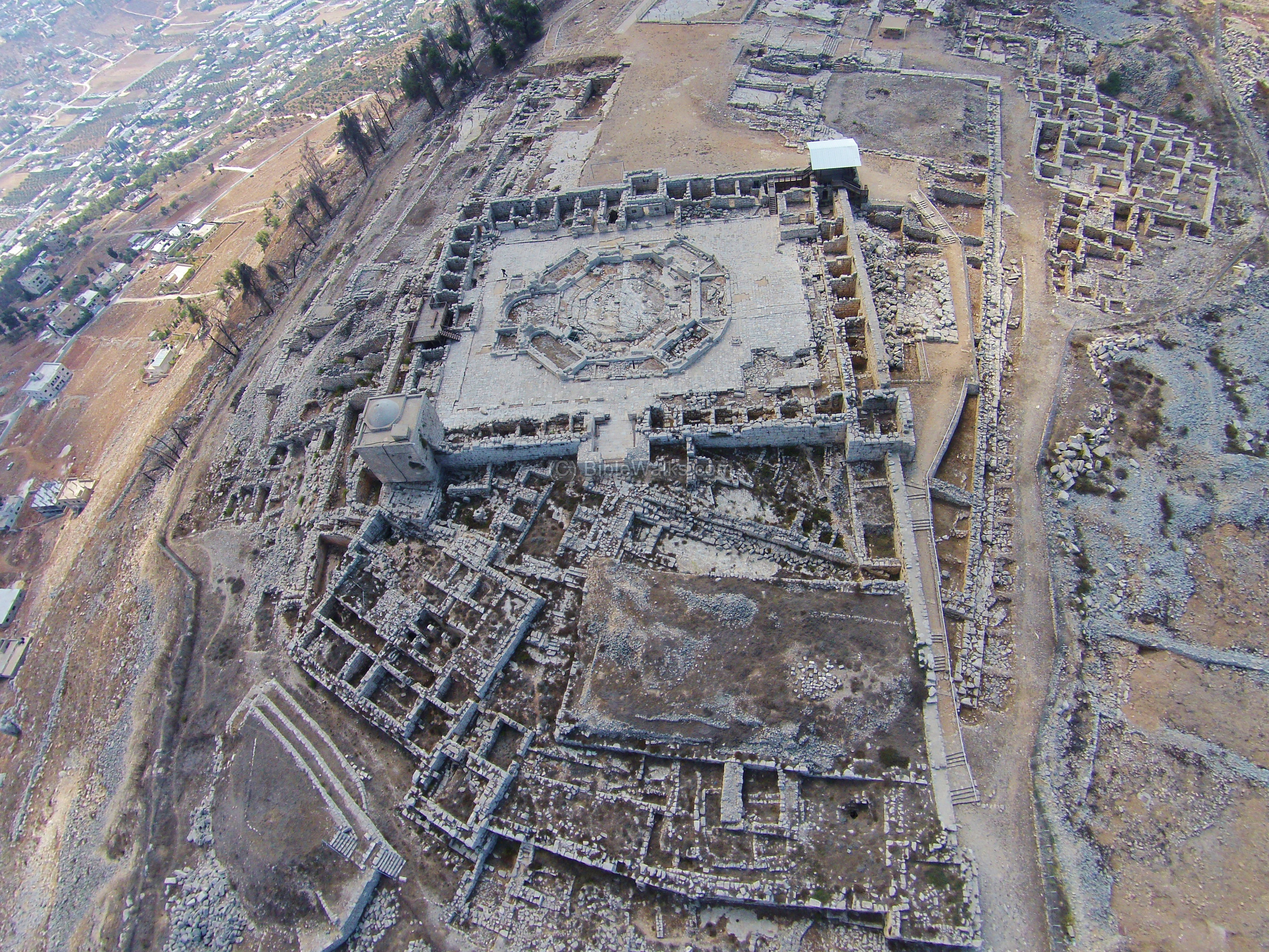
Givati Parking Lot excavations

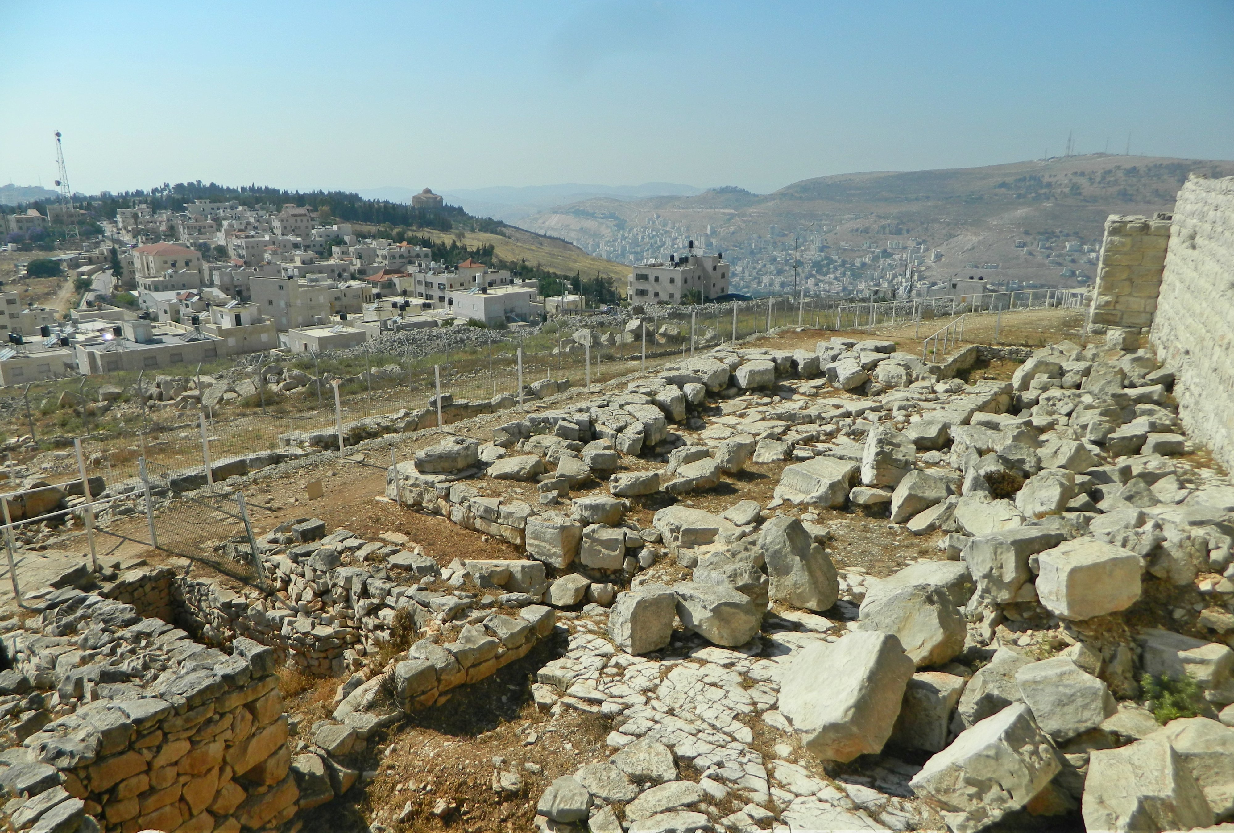
Entering the national park for the first time since 2008, I passed myriads of tourists and approached the ticket counter to explain my predicament that I was part of a group which had already entered. Believing my story, I was given a stamped ticket and allowed into the park – but it took a few minutes of confused wandering before I located my group in the excavation area of the “Large Stone Structure” (suggested to be King David’s palace) beneath the floor of park’s entrance area. I caught myself up as best as I could perusing the signs concerning the important finds uncovered thus far after which I focused my attention on our guide for the day, Dr Eyal Meiron, an expert on the City of David. We briefly inspected the Royal Quarter (Area G), a complex dating to the First Temple period, and then made our way to a nice lookout spot where we stood/sat beneath a sun umbrella to learn more about the city. The city is built on a mountain ridge in a mountainous area with the Arab village of Silwan on the adjacent ridge and the Mount of Olives slightly further away to the northeast.

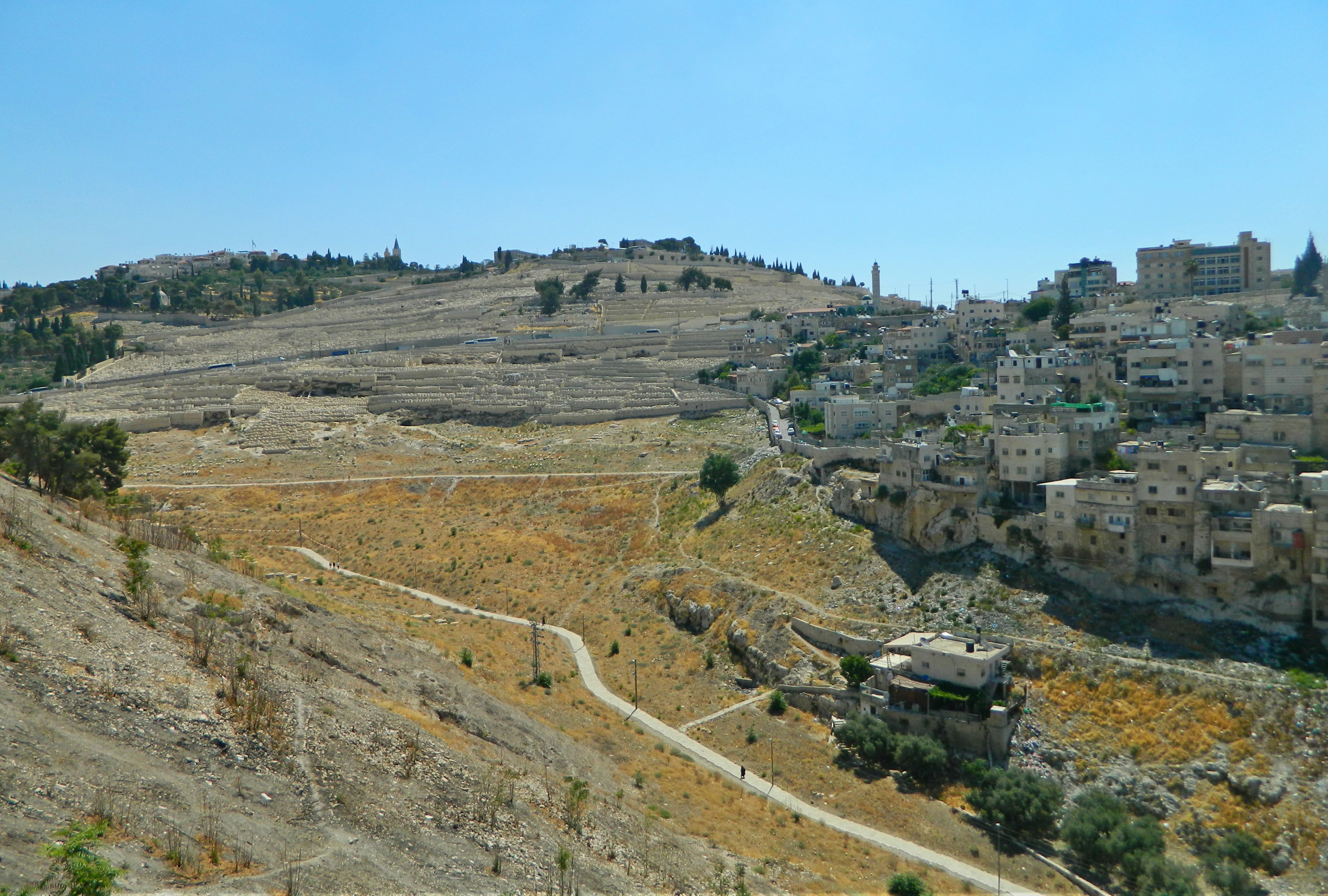
Lookout towards Silwan and the Mount of Olives

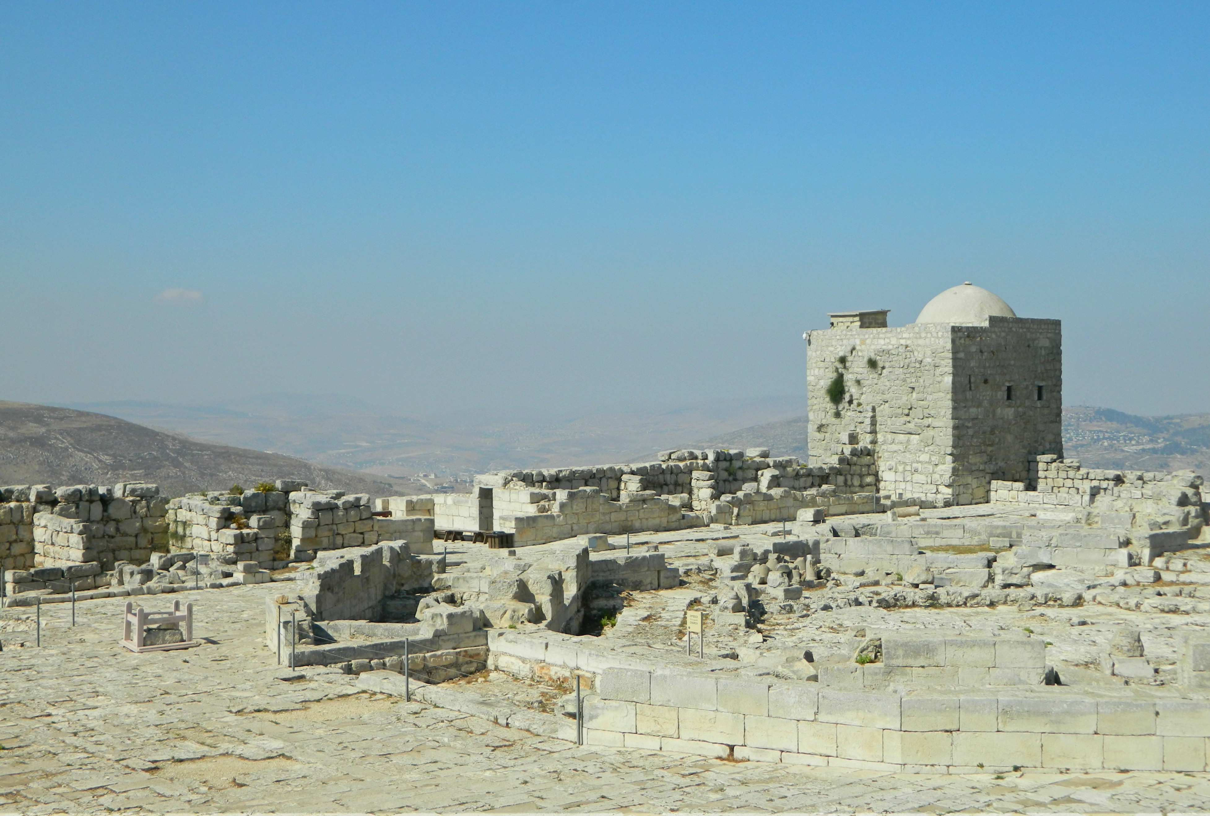
To give a brief summary of the City of David, the excavated region was the original city of Jerusalem before it slowly expanded outward, from the revolutionary expansions of King Hezekiah in the 7th century BCE to its famous city walls of today, built in the mid 1500s by the Ottomans. It is believed that the first walled city was built during the Middle Bronze age, and then passed ownership a few times until King David conquered it in the Iron Age, approximately 3,000 years ago. King Solomon, the son of David, expanded the city and built the First Temple where the Dome of the Rock now stands. A couple hundred years later, after the Jewish kingdoms split, the Assyrians attempted to conquer ancient Jerusalem but failed. The Babylonians, however, succeeded and razed the city to the ground, destroying the Temple as well. In the Hasmonean and Roman times the city experienced a rebirth of sorts, until it was once again destroyed (along with the Second Temple) by the Romans in response to the Great Revolt. Eventually the city limits changed and the City of David, which found itself outside of Jerusalem, was largely forgotten about. Excavations in the late 1800s revealed the forgotten city and since then the City of David has been one of the most important archaeological sites in Israel.

Ottoman wall of the Old City

We left our lookout area to go underground to the Warren’s Shaft System, a carven well in the rock which was believed to be used to draw water from the Gihon Spring. An important part of every city, fresh water was readily available to the inhabitants of the City of David gushing from the Gihon Spring, yet due to its low setting the defensive walls were built excluding the spring. The issue of providing water under times of siege during the Canaanite times was answered first by the Warren’s Shaft System and later by a tunnel and fortified pool which jutted out from the city walls. While we were stopped at the top of the shaft it was curious to note how many of the passing tour guides both knew and admired our guide, who had apparently educated many of them in matters concerning the site.

Dr Eyal Meiron pointing beside the shaft

Continuing along underground along the Secret Tunnel, we reached a large open area which housed the remains of the Canaanite Pool and surrounding fortifications. Walking on metal walkways with the occasional glass panel to view the ruins below, we skirted the excavated area and marveled at the size. Unfortunately, due to the cramped angles and low lighting, none of the photographs that I took properly document the sights that I saw underground. I thus turned to Eyal who has been so kind as to share this illustration of how he imagines the pool and fortifications to have looked during the Canaanite era.

Canaanite pool fortifications (reconstruction: Eyal Meiron, illustration: Leonardo Gurevich)

Emerging into the sunlight for a few brief moments, we quickly headed for the Canaanite Tunnel – one of two parallel passages that cut through the karst bedrock from the Gihon Spring underground to the Shiloah (Siloam) Pool at the far southern end of the City of David. The famous Shiloah (Siloam) Inscription that was found in 1880 towards the end of the other passage, the Hezekiah Tunnel, has been kept in Turkey’s Istanbul Museum after being cut out of the rock wall despite Israel’s repeated requests for its returned ownership. The three-dimensional aspect of our tour makes it somewhat complicated to explain but in essence we were more-or-less heading south and down in elevation from the beginning of the tour till the end. Within the 115 metre long Canaanite Tunnel, we encountered tight squeezes and small amounts of flooding – which I later found out was sewage water!

Within the Canaanite Tunnel

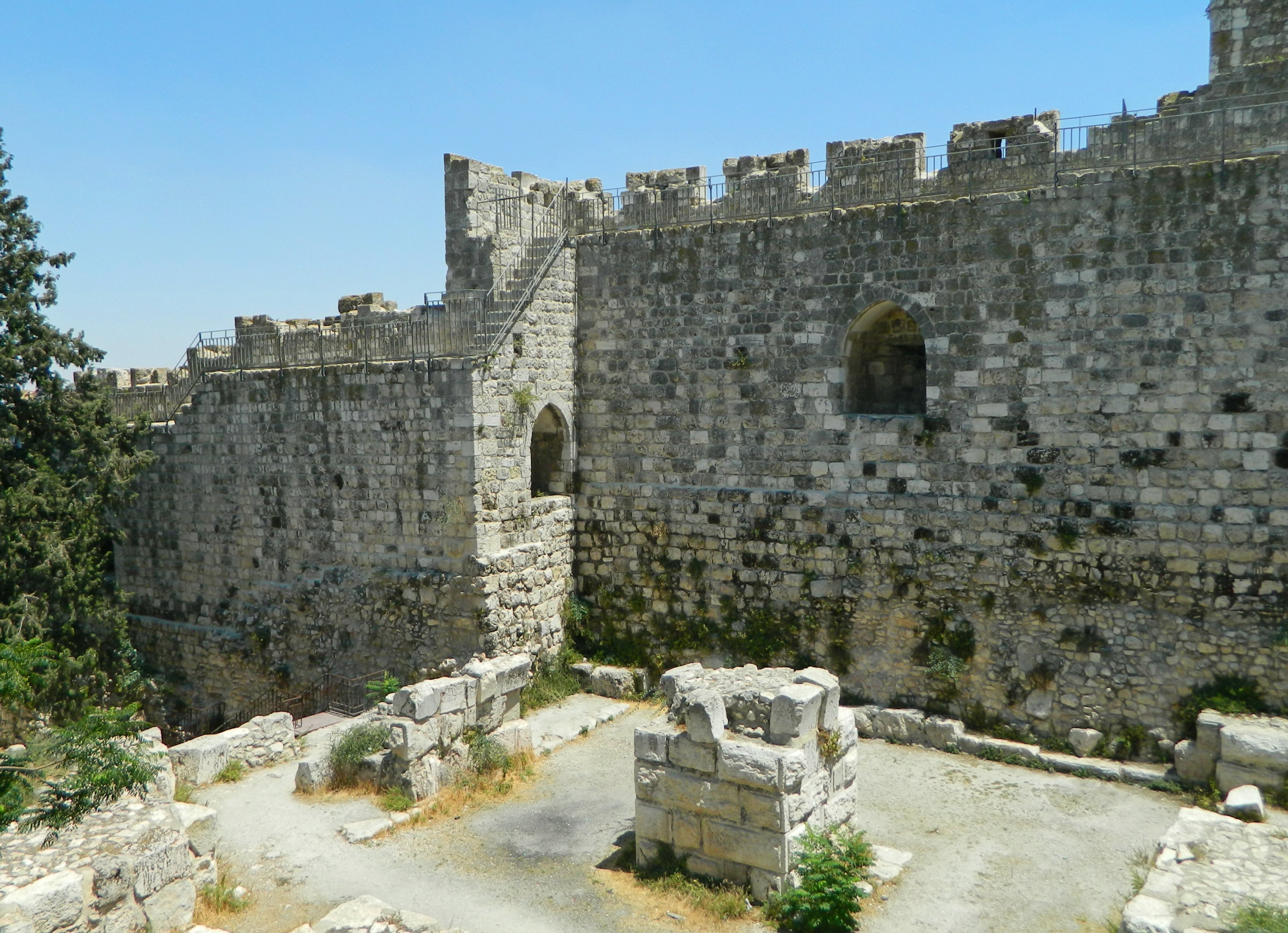
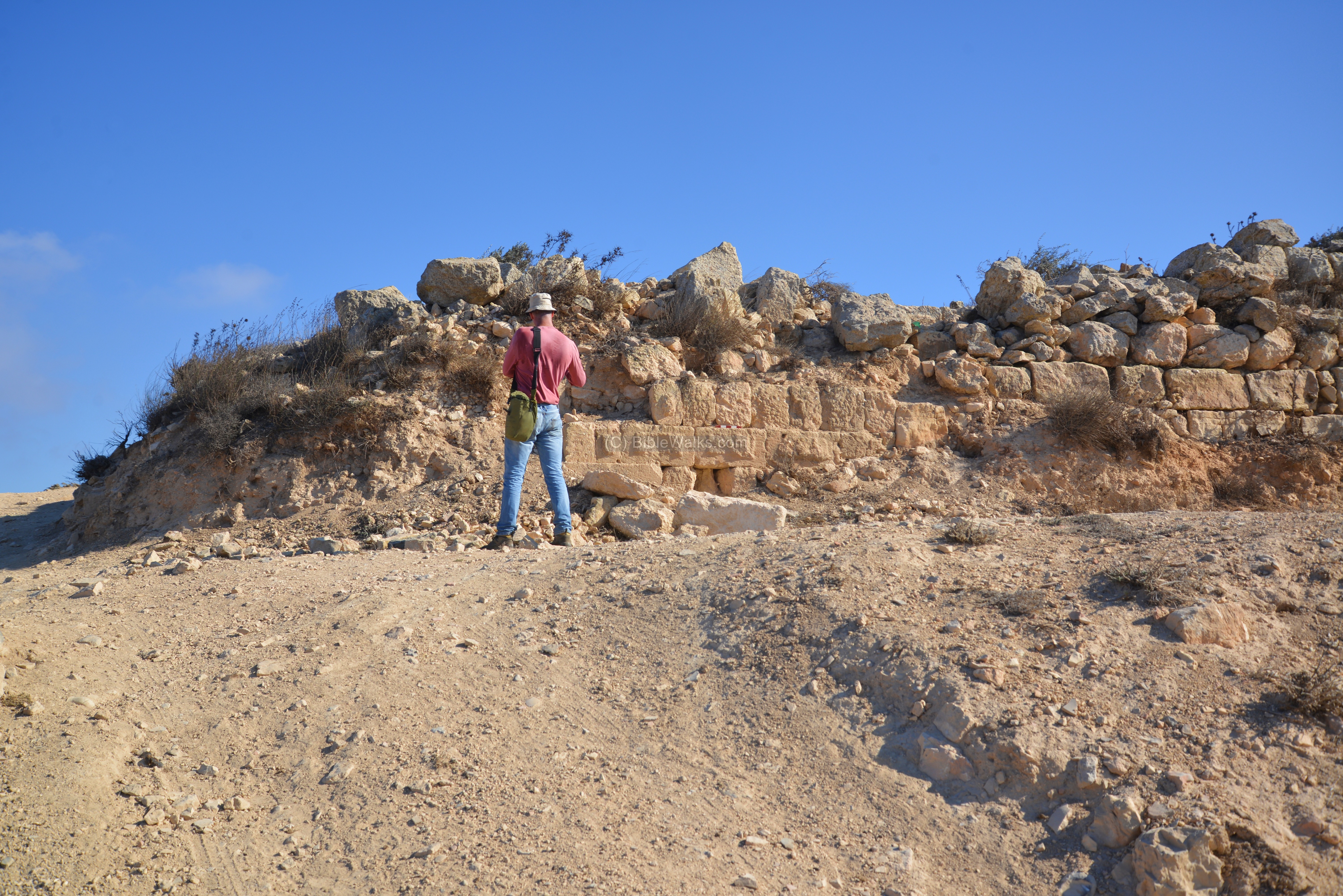
Being as that we chose the shorter, “dry” route through the bedrock, we emerged once again into the blessed sunlight and found ourselves looking at the original walls of Jerusalem – a truly ancient construction.

Walls of ancient Jerusalem

The tour officially ended there but some of us carried on along the cobbled road towards the Shiloah Pool, passing several sites of interest along the way including the Amanah House and the Meyuhas House – some of the first modern Jewish houses outside the Ottoman walls of Jerusalem. Before long we reached the Shiloah Pool and waited there for the shuttle to take us back up to the Old City wall.

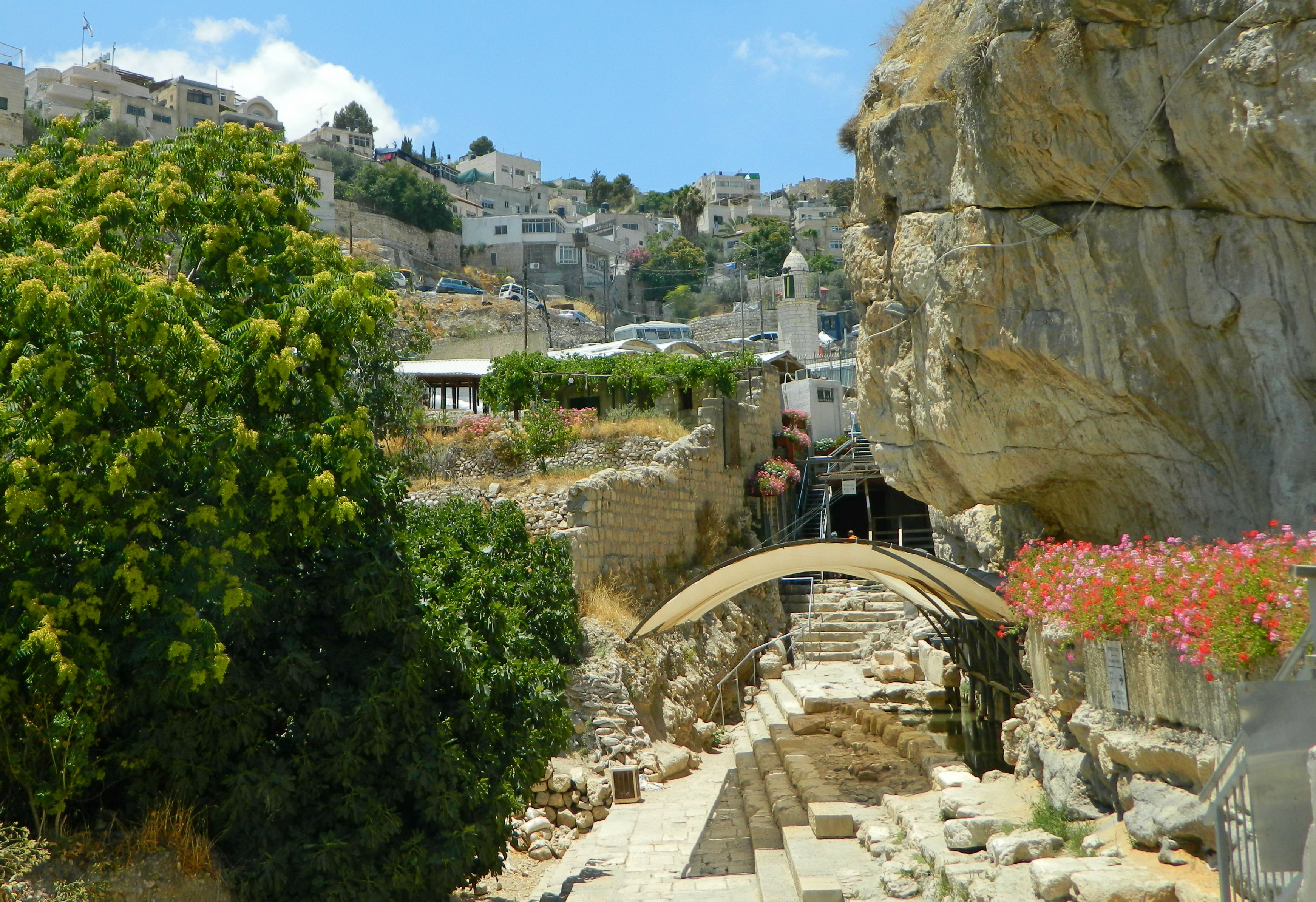
The Shiloach (Siloam) Pool

Deposited at the Dung Gate, I thanked my Arab driver and entered the Old City, making my way back along the same road toward the Jaffa Gate. Seeing the Tower of David, and feeling inspired to finally visit this long-overdue site, I quickly learned that I had come too late. Angling for just a little bit more adventure, I contemplated visiting the area where the Hospitaller Knights of Crusades were headquartered but decided against it due to the fact that it was the end of Ramadan and prayers had just let out – I didn’t want to venture off alone through the crowds.

Harpist in Jaffa Gate

Leaving the Old City, I settled with taking a quick visit to a Jerusalem beer and beer supply store where I enjoyed a cold glass of Lindemans Cassis Lambic, a naturally fermented Belgian beer flavoured with blackcurrants – quite tasty and quite refreshing! A short ride on the light rail and I was back on a bus to Givat Shmuel, ending yet another successful adventure.

University Trip: “Moshavot” of the Galilee

In Galilee, Israel on August 6, 2017 at 7:40 AM

The week after visiting Tel Aroma & Mount Gerizim in the Shomron I participated in another academic tour offered by Bar Ilan University’s Archaeology department. This time we were traveling to the north of Israel with Dr Einat HaLevi Attia to examine early “Moshavot” of the Galilee, settlements established in the late 1800s and early 1900s by the first waves of immigrants to the Holy Land. We boarded a tour minibus at the university and made our way to the first site of the day, Kibbutz Merchavia, after a short rest stop in neighbouring Afula.

Merchavia

We sat outside the “Great Courtyard” and learned about Merchavia’s founding in 1911 and their distinct organisational style as being a “co-operative”. Interestingly enough, they created the first dairy in modern-day Israel. Our subsequent tour of the courtyard’s buildings included the “Big House”, the “Produce Granary”, the Haganah Radio Station and later Israeli prime minister Golda Meir’s house. Getting back into the minibus, we then took a very short drive to the edge of the moshav version of Merchavia where admired a large manor built during those formative years and nicknamed the “Castle of the Jezreel Valley” due to its size and position overlooking the valley. Returning to our trusty minibus, we then drove over to where the agricultural establishment of Sejara once stood, founded in 1900. Today the remains are within a military base by the name of Chavat HaShomer (which I visited once several years ago but didn’t see the ruins).

Rose-ringed parakeet inspecting me from above

So, we stayed outside under a large tree and learned about the site before walking over to see Ilaniya, the successor of the Sejara settlement. There we were afforded up-close and plentiful views of the still-existent site – a settlement of one main street lined with agriculturally involved houses. I distracted myself trying to photograph singing goldfinches, but with limited success. Walking to a rooftop lookout, we passed farming equipment on display and then admired a large wall that was originally made with white chalk and then added to with blocks of dark grey basalt. From Ilaniya we got back into the minibus and drove to see a handful of ruined basalt buildings in Poriya, established in 1912.

Basalt ruins of Poriya

From there we took a short break at a strip mall where I purchased a bottle of semi-sweet hard cider for Shabbat and then on to the next site on our list: the Kinneret Courtyard just south of the ruins of Bet Yerach. A rectangular collection of well-kept basalt buildings, the courtyard was founded in 1908 as a defensible frontier close to the Sea of Galilee. We were greeted by our local guide, Asaf, who gave us a hurried yet sincere overview on the early history of the settlement and the difficulties that encumbered the settlers in those times. Inside the exhibits room of the courtyard, located within the old khan (roadside inn), we inspected items that belonged to that era, as well as signs depicting the important figures who played roles in the sites formation.

Kinneret Courtyard

Taking leave of the courtyard, with some noisy kestrels passing overhead, we got back into the minibus to be taken to Degania, which I had already visited in 2012. We met up with our next local guide, witty Moshe, who took us on an interesting tour, including the following site which I had not known about beforehand. Driving alongside the agricultural date groves at the edge of the kibbutz, we reached the place where the first building was constructed in 1909 – at a place once known as Umm Juni. This structure was featured in the famous photo of the settlement members in mostly Arab garb posing that can be seen HERE.

Original structure of Degania

Beyond the structure is a wildly windy lookout overlooking fields and the dry wilderness beyond. Directly below the gentle Jordan River flows, nimble swallows (both barn and red-rumped) darting back and forth in the hot air overhead. I stalked a bird along the basalt rocks only to discover that it was a crested lark, nothing to get too excited over.

Picturesque view from Umm Juni

From there we went to the regular part of Degania, where the courtyard (a common theme this trip) beckons, with its basalt stone structures. Overhead we got glimpses of cormorants flying to and from the Kinneret’s banks, and the occasional goldfinch snacking in a pine tree. We entered the small museum just outside the courtyard’s domain and examined the collection of photographs taken over the years, including a particularly interesting aerial shot with the shadow of the German airplane that took it. I signed the guestbook, plugging my blog shamelessly, and we bid farewell to both Degania and our guide Moshe.

Cemetery beside the Kinneret

We had one last place to visit – a cemetery overlooking the peaceful blue Kinneret. Having discussed so much of the early years, it was time, at last, to see what has become of the valiant members of such noble efforts. We were there to pay our respects, and to have one or two last things to reflect upon before we returned to the urban sprawl of the centre of the country. Leaving the cemetery, we ritually washed our hands and boarded the minibus for the long drive back, another interesting trip under our belts.

University Trip: Tel Aroma & Mount Gerizim

In Israel, Samaria on July 30, 2017 at 3:42 PM

Towards the end of this past semester, before I was distracted by the wonderfully hectic month of archaeological digging at Tel es-Safi (biblical Gath), I took a day-trip with the legendary Dr Dvir Raviv to some cool sites in the Shomron. Another of Bar Ilan University’s Archaeological department’s academic tours, this was one that I had been looking forward to all year – especially after last year’s fascinating trip to the Southeast Shomron with the same Dr Raviv. Our tour bus departed from the university campus in the morning and we made our way to the Shomron, driving through the ever-entertaining Arab village of Hawara and then passing Shechem (Nablus) before entering Itamar where we disembarked at an army post. Gathering around and applying sunscreen, we were briefed by Dvir who told us the plan of the day. Much to our surprise, he pointed to a conical peak a ways away and announced that we were to climb it – for that is Tel Aroma.

Making our way to Tel Aroma – the central peak

We set off expeditiously, making our way down the slope of the low mountain that we were on, and reached the paved road down below in good time. This was an ancient road that crossed the mountains of the Shomron and we walked it to get to a good spot to climb up to the tel. Along the way, we saw planted olive trees, wild carrot in bloom and my first definite sparrowhawk which flew away before I could squeeze off a shot. Leaving the road, we stopped beneath a gathering of almond trees to learn more about the area. As I looked about I noticed that some of the almond shells had been chewed by one of nature’s hungry inhabitants, and upon proposing the identity question to experts, learned that the nuts were eaten by rose-ringed parakeets (an invasive species in Israel).

Chewed and crystalised almond on a stick

Sitting in the welcoming shade, the peaceful sounds of nature surrounding us, we rested, ate, drank and listened to the mini-lecture. When we rose refreshed and began our ascent of the mountain something interesting happened. The leading members of our party had startled a small sounder of wild boars – some adult females and a handful of striped youngsters. I heard my name being shouted and became aware of the wild boars making their escape, passing an old stone structure as they fled downhill.

Wild boars

With the brief excitement over we returned to the task at hand, scaling the mountain without the use of a marked trail. Dvir led the way, springing lightly up the slope, and we followed behind dutifully. The going was a little tough, but rather invigorating, and we made great time due to our youthful enthusiasm. I stopped at one point and took this great photo of my friend Ben Yablon climbing behind me.

Ben climbing Tel Aroma

At last we reached the top and we laid eyes on a hewn cistern – the first of many, which look like small caves from the outside. Around the cistern, and across the top of the tel, were large amounts of cut ashlars for monumental construction. With the mountaintop first fortified by the Canaanites, the site’s subsequent history is poorer than so many of Israel’s tels largely due to its remoteness and inaccessible nature. Biblically mentioned only once, the tel is referred to as a stronghold near Shechem and it is not until the Hasmonean period that Aroma’s importance came into play. Being in the land of the Samaritans, which we would see in the second half of the day’s tour, the Hasmoneans conquered Shechem and Mount Gerizim from them and took up fortifications at Aroma and Sartaba further to the east. It was during this time that the fortress was built and immense water reservoirs were carved out of the bedrock. The next, and final, period of importance for Aroma was during the time of Herod around 2000 years ago, when it was refortified to keep control over the Shomron roads.

Tel Aroma from above (photo Biblewalks.com)

We made our way to the southern end of the tel and admired both the view and the ruins. The blue sky around us was alive with energetic swifts (mostly common with one or two alpine thrown in), keeping us company as we explored. Suddenly a strange call was heard and fellow tour member Nesia, a more experienced birder than I, informed me that a bee-eater had flown past – of which I saw but a fast-moving blur. We settled down beneath some olive and fig trees to learn more from Dvir and I found myself promptly distracted by a bird flying about among the rocks far below. Using Nesia’s binoculars and my own camera (even with the inferior digital zoom), I couldn’t figure out exactly what I was seeing. Turning to the experts once again, I was informed that I had seen and photographed a black-eared wheatear (my first). From the same vantage point, this time heard but not seen, was the familiar drumming of a Syrian woodpecker. And lastly, some ravens above a distant mountaintop were spotted and added to the list.

Hasmonean fortress ruin

With Tel Aroma never excavated – only having been surveyed – it was sad to see that vandals had destroyed part of a Hasmonean wall that Dvir had found intact only several days prior to our trip. A photo from 2016 of Dvir standing at the wall that had just been destroyed can be seen HERE on Biblewalks, an amazing site which he collaborates with from time to time. He told us an interesting story of his encounter with a band from a nearby Arab village who demanded to know what he was doing, whereas their presence was the one which truly demanded explanations, as antiquity robbing is commonplace in such areas. Leaving the fresh ruination behind, after documentation, we made our way to the line of cisterns along the western side of the tel.

Within the immense cistern

We entered the first of the immense cisterns, lined with plaster to retain water, and marveled at the size. Measuring some 20+ metres long by approximately 10 metres both wide and tall, the cistern was designed to hold a maximum of some 2,500 cubic metres – quite a lot of water! Within the cool dampness of the cistern we learned more about the water system of this and other Hasmonean sites, with comparisons to Sartaba and Herodian Masada (which has even bigger cisterns). Exiting the cistern, we emerged blinking in the bright sun and made our way past the succession of similar cisterns until we reached the northern end, where the barely distinguishable remains of an aqueduct can be seen. At that time a gorgeous swallowtail butterfly floated past me and I spent a few minutes trying to get a good shot but to no avail. We then trotted back down the mountain, heading for the point where we started, but from a different angle. We passed a truly peculiar sight as we walked – a field disturbingly littered with plastic bags, with a fresh delivery drifting over with each fresh gust of wind over a distant garbage pile. Someone said that they spotted a fox but I saw nothing note-worthy until we reached a cool spring with its algae-filled pool.

Lovely little spring

We spent a few minutes at the spring and then carried onward downhill – where I took pause to photograph a very calm cicada that tried deafening me with his calls (cicadas being one of the loudest insects, producing sounds of up to 12o decibels – the same as the report of a shotgun). Note the light-sensing eyes that look like tiny red dots on his forehead between his normal eyes.

Cicada

Dashing our way up the mountain towards Itamar, we boarded the bus hot and breathless, gulping down large quantities of water. But the day was far from over – we had another large site to visit: the ruins on Mount Gerizim overlooking Shechem. Driving back past the southern entrance to Shechem, we drove up Mount Gerizim and turned towards the Samaritan village of Luza – all familiar sights from when I was a soldier stationed in the region. The Samaritans were a sect of Jews that splintered off in antiquity and created their own form of Judaism, replacing several of Judaism’s core foundations with those of their own and naming Mount Gerizim as their holy city in place of Jerusalem. Samaritans have had a history of persecution and intermarriage with the local Arab populations which make them a very interesting portion of today’s Israeli demographic.

Hellenistic ruins of Mount Gerizim overlooking Shechem

Located on the southern of the twin peaks Gerizim and Ebal, as biblically mentioned, our tour was mostly that of the national park that has recently been established to preserve the ruins (aerial photograph can be seen HERE). Passing through Luza, we entered the park and disembarked to begin our trip. We began by breezing past the plentiful Hellenistic age ruins as we made for the lookout over Shechem and the Byzantine monastery complex. It was rather enjoyable pointing out the various sites of interest far below, including Kever Yosef and several houses of Christian and Muslim worship.

Byzantine monastery and sheikh’s tomb

Sitting in the shade beneath the walls of the Byzantine monastery, we learned more about the site from Dvir who prepared us for what we were to see while in the comfort of the shade. Skirting the meagre Persian period ruins, we climbed up into the church complex and gazed about at the Byzantine ruins, with the octagonal church remains in the centre and the sheikh’s tomb built into the northeast corner tower. We admired the fallen architectural details, including Corinthian columns and floor mosaics, as we circled the site. Due to the length of the Tel Aroma part of the trip we were slightly pressed for time and weren’t able to explore too finely all the ruins that were laid out before us.

Mount Gerizim ruins with Luza in the background

It was when we were looking out at the Hellenistic ruins of a mansion that I noticed one of my favourite birds hopping about on the rocks – a male blue rock thrush. Glancing at the rest of the ruins, including some Samaritan holy sites, we headed back for the bus because the park was closing. Thus ended another long but exciting trips to the Shomron with Dr Dvir Raviv, I look forward to next year’s with bated breath!