Two week ago, on Wednesday, I had an exciting day brewing my first beer – a slightly smoked stout – with my friend Ben from university. Riding on that high come Thursday morning, we then headed off on a university trip to several sites in the northwest region of the Negev led by Dr Shawn Zelig Aster. The first order of business after a quick stop at Beit Kama junction was a lookout across the road from Rahat, the large Bedouin city in the Negev.
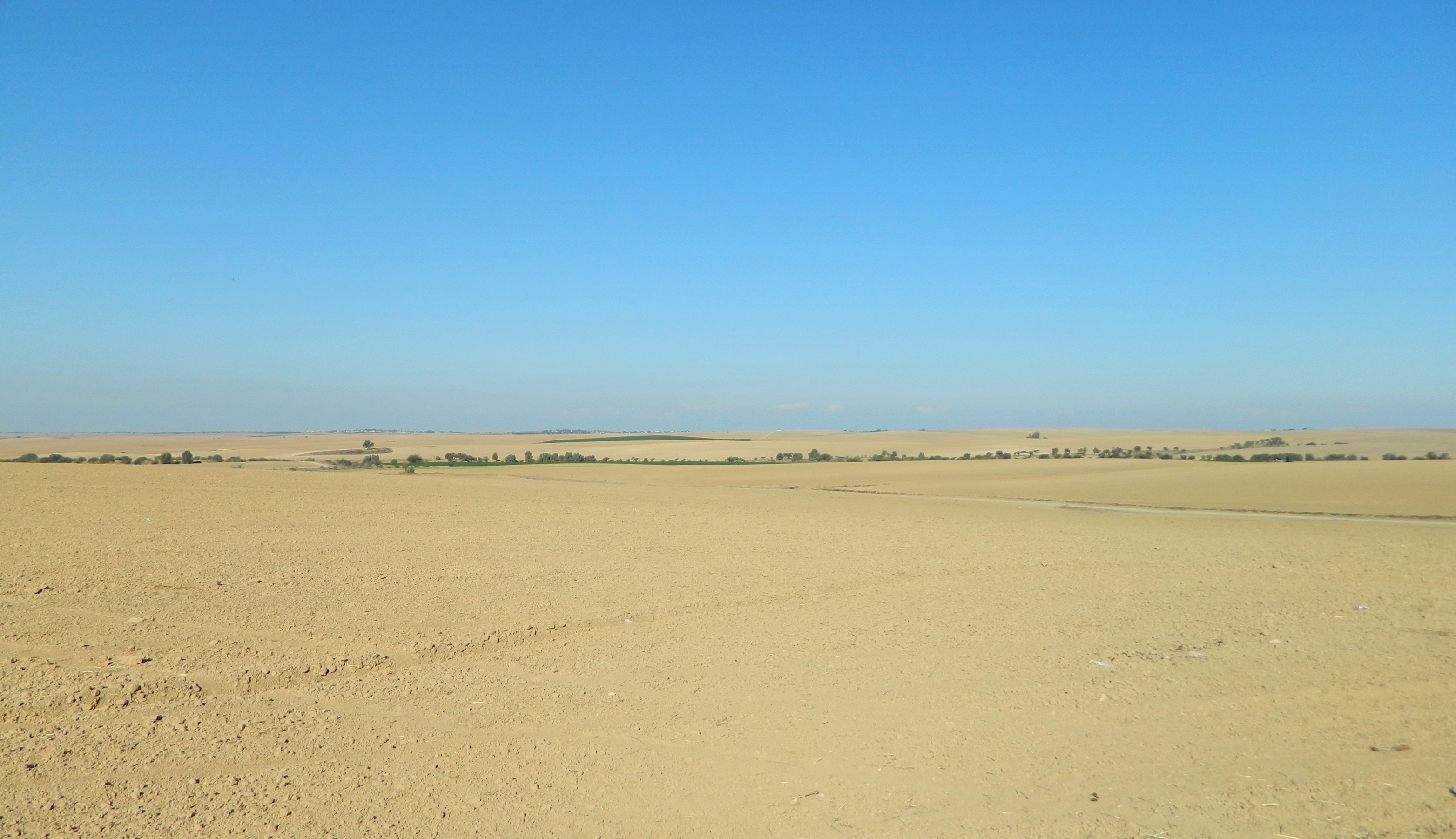
Contrast of yellow dirt and blue skies
The tour bus took a nice dirt road to the edge of a field, located not far from the old British Rider Police Station which I visited in the post The Negev: Roadside Attractions. From there we had a view of Tel Sera in the distance, an ancient Egyptian, Philistine and Israelite site of mostly agricultural importance, as well as its proximity to Gaza, a major coastal city. Looking about at the expanses of yellow dirt, I spotted movement off in the distance and it wasn’t long before I had a crested lark on the screen of my camera. Next, a darkling beetle made an appearance and the reassuring presence of black kites wheeling overhead – a common sight.
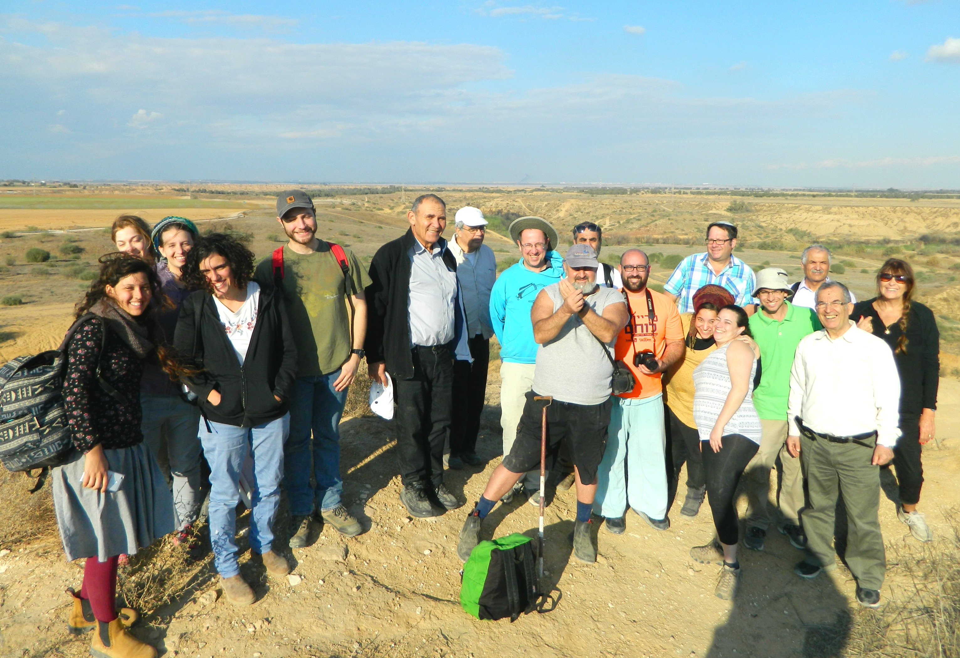
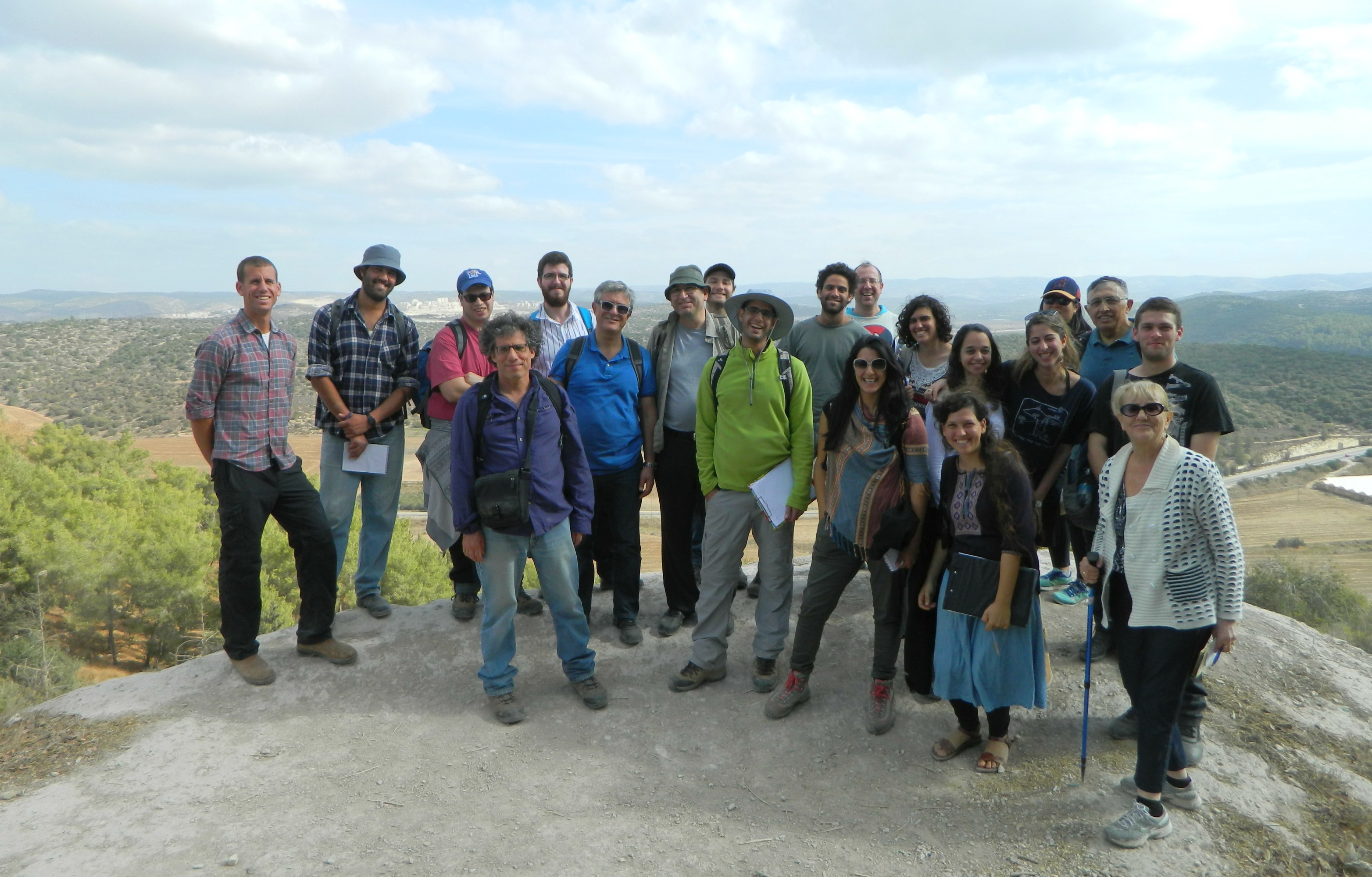
Group photo
Moving on, we then pulled into a dirt road on the far side of Tel Sera for get a lay of the land and then crossed Road 25 to enter KKL/JNF’s Nachal Gerar park where we walked to the next tel on our list (a tel being an archaeological mound of layered human settlement). As I’ve become more and more interested in birding, my eyes scanned the area as I spotted various species in Nachal Gerar including stonechats, a Syrian woodpecker, a great tit, my first ever black redstart and some sort of sandgrouse in flight, to name just the highlights.
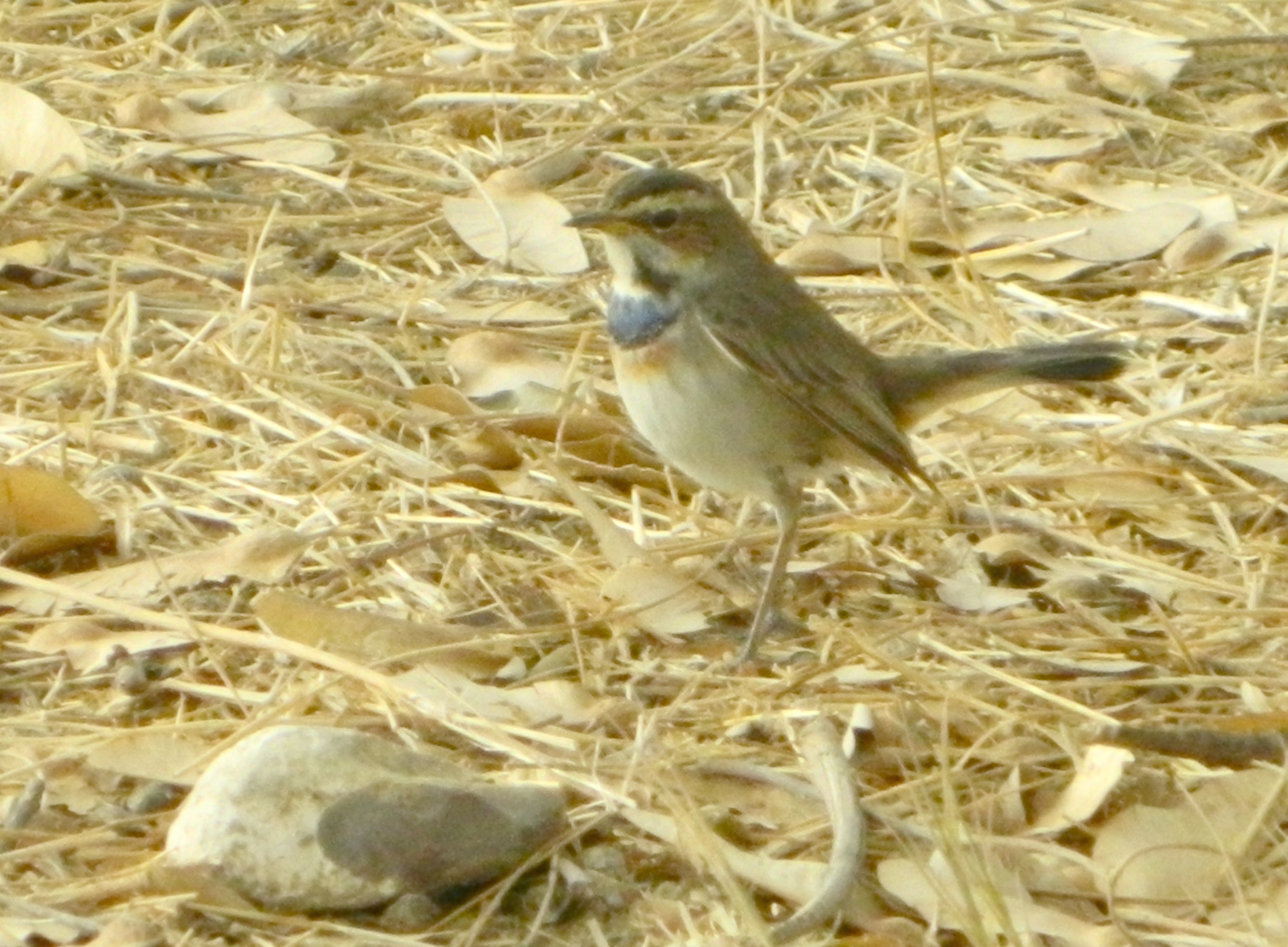
Bluethroat
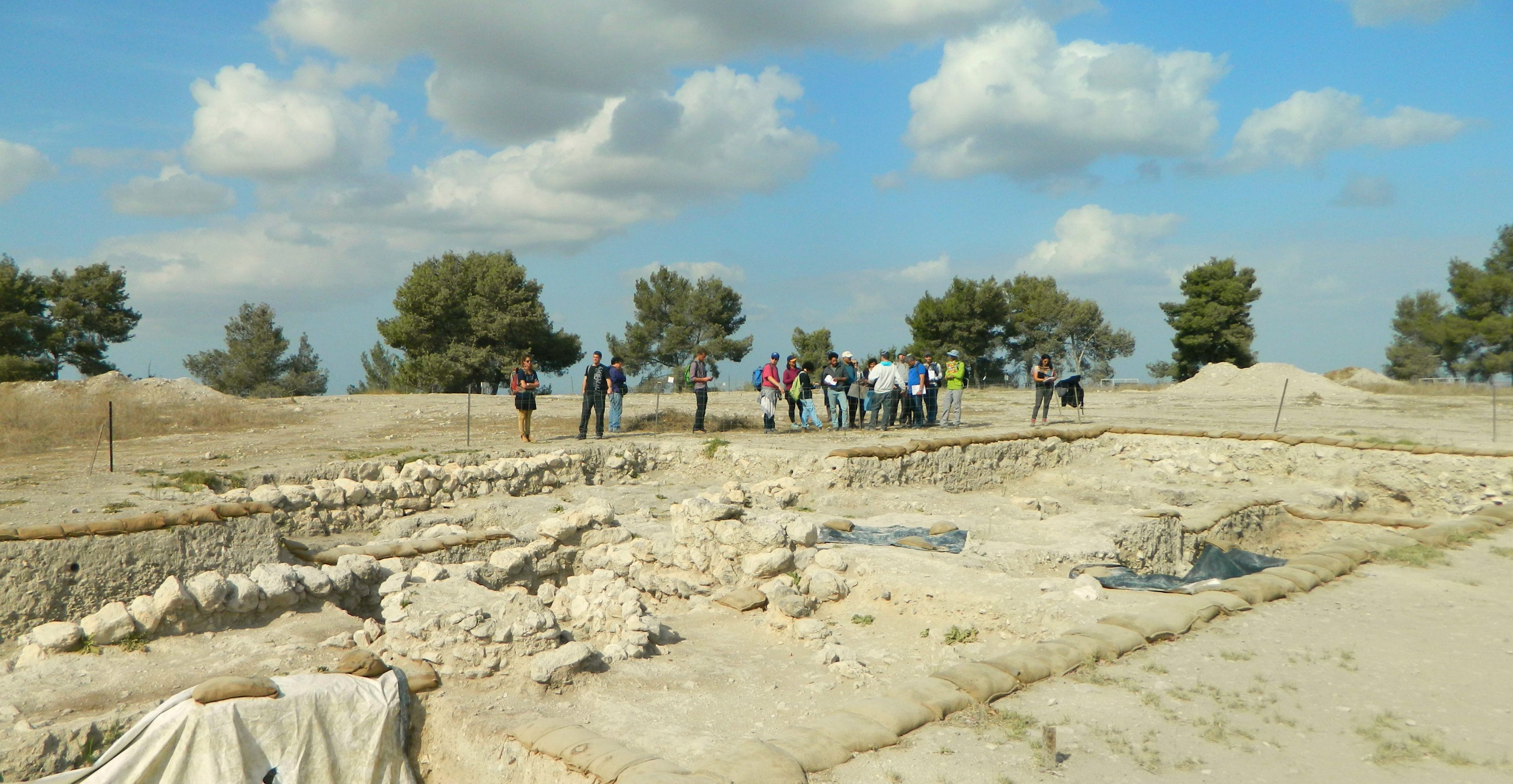
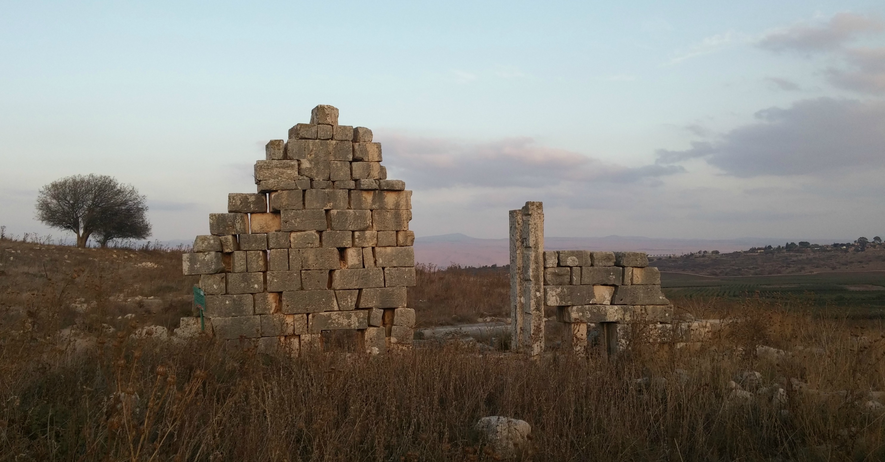
Getting back to the archaeological aspect of the trip we climbed up Tel Haror, a Bronze Age site which also goes by the names Tel Abu Hurairah (literally “Father of the Kitten”) and the famous Biblical Tel Gerar, a story of well-digging and Philistine peace pacts. The remains of a mud-brick temple, built some 3500-4600 years ago, have been uncovered for humanity’s viewing pleasure.

Mud-brick wall at Tel Haror
Atop the hill is the remains of a recently-destroyed mausoleum believed by the local Bedouins to be the grave of the aforementioned Abu Hurairah, a companion of Islam’s Muhammad; buried around the site are the unmarked graves of Turkish soldiers who fell in battle during WWI.

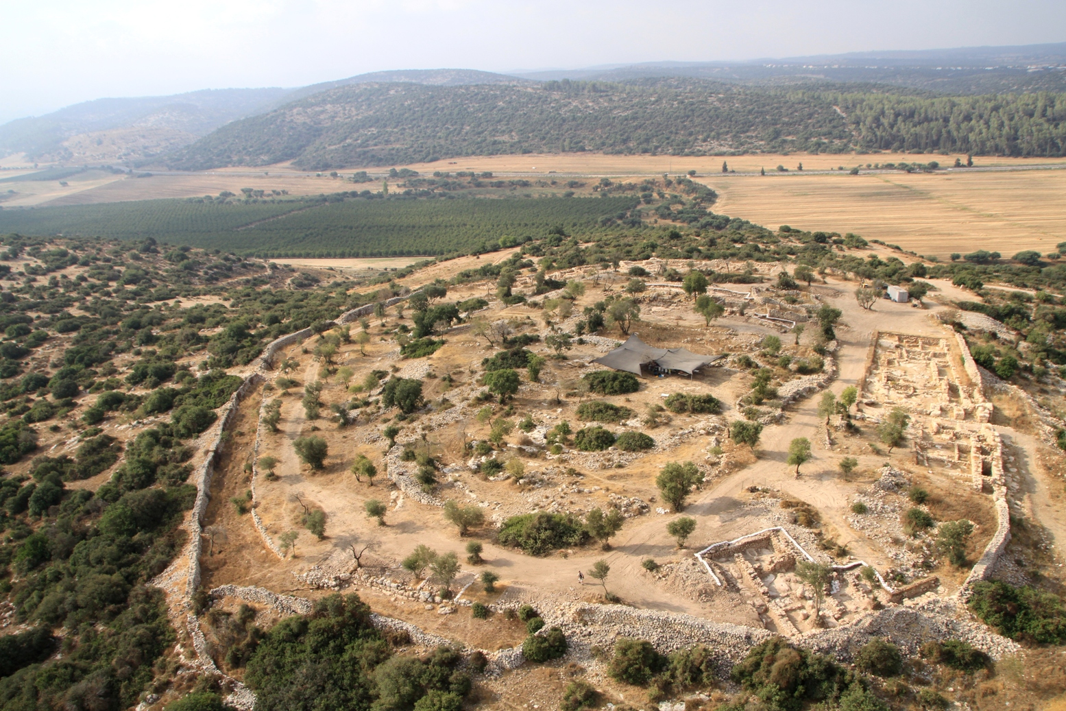
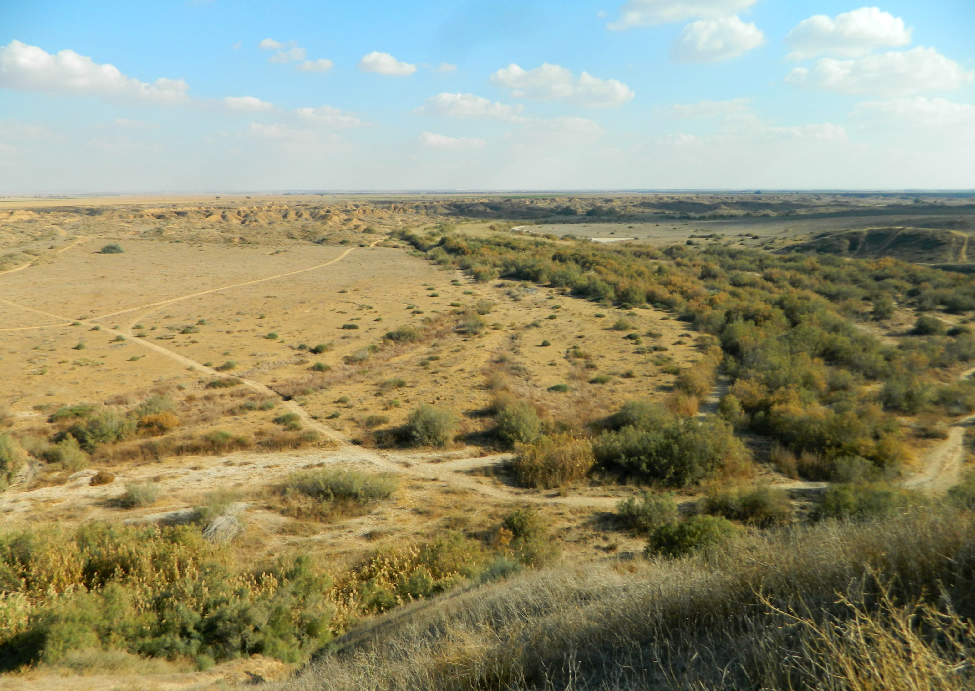
Tel Sharuhen
Heading back down to the bus, we were then driven to Nachal Besor, a park with a Jurassic Park feel to it in terms of flora and topography. With Tel Sharuhen (or Tel el-Farah) being our next destination, we drove through the alternating lush streambed and the sandy badlands of Nachal Besor for ten minutes or so, a rather bumpy ride. At last we arrived at the foot of Tel Sharuhen and I spotted a bird far off perched atop a bush – a great grey shrike.

Your humble servant (photo Ogen Drori)
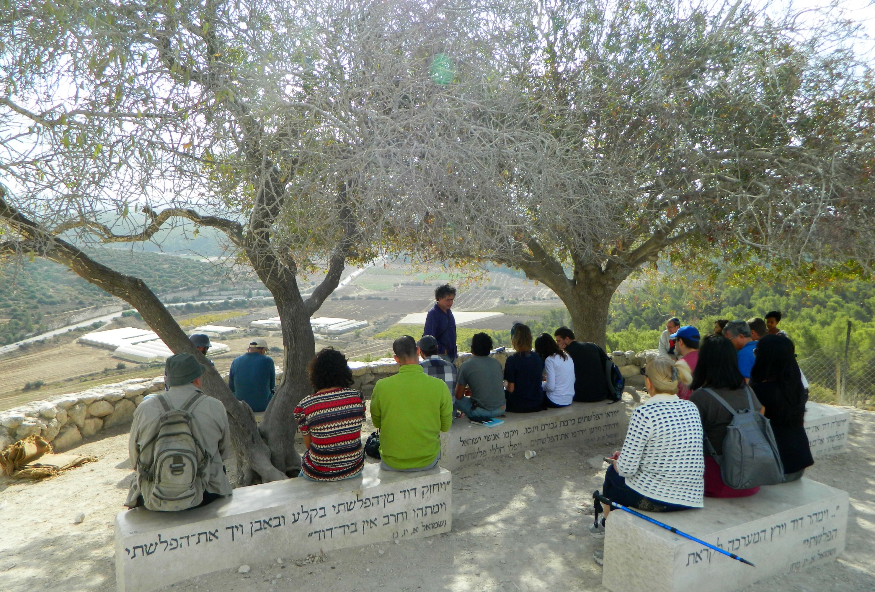
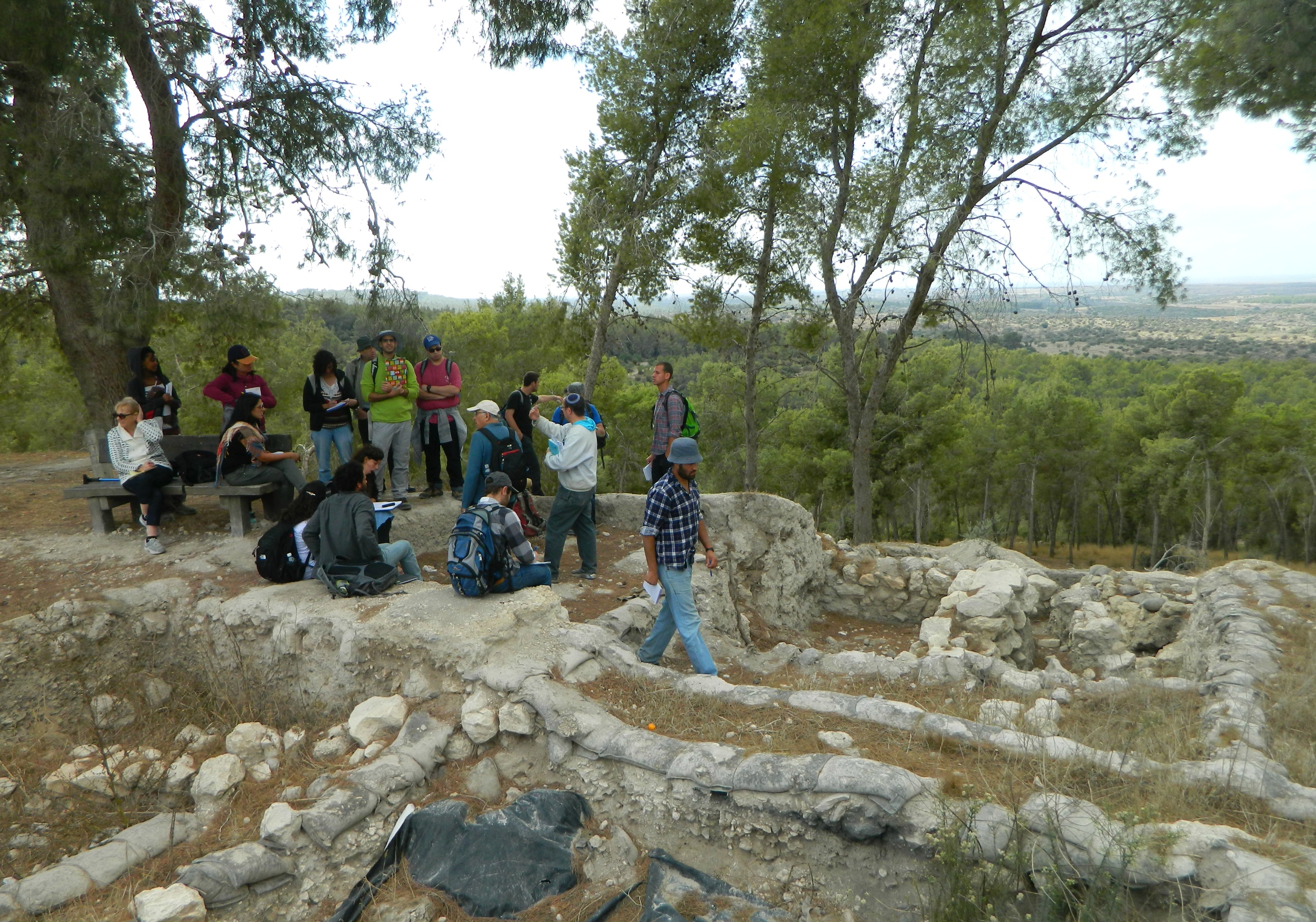
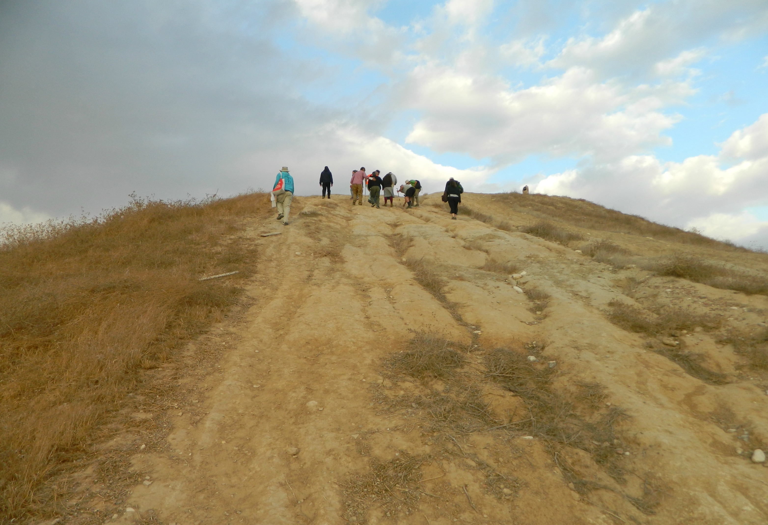
We read about the ANZAC trail named after the Australian and New Zealander troops who, during WWI, traveled this route on their way to conquer Be’er Sheva and then Gaza from the hands of the Ottomans. Finished with the recent history, we climbed the tel to learn about the ancients: Canaanites, Egyptians and Israelites.

Remains of what might have been the city gate
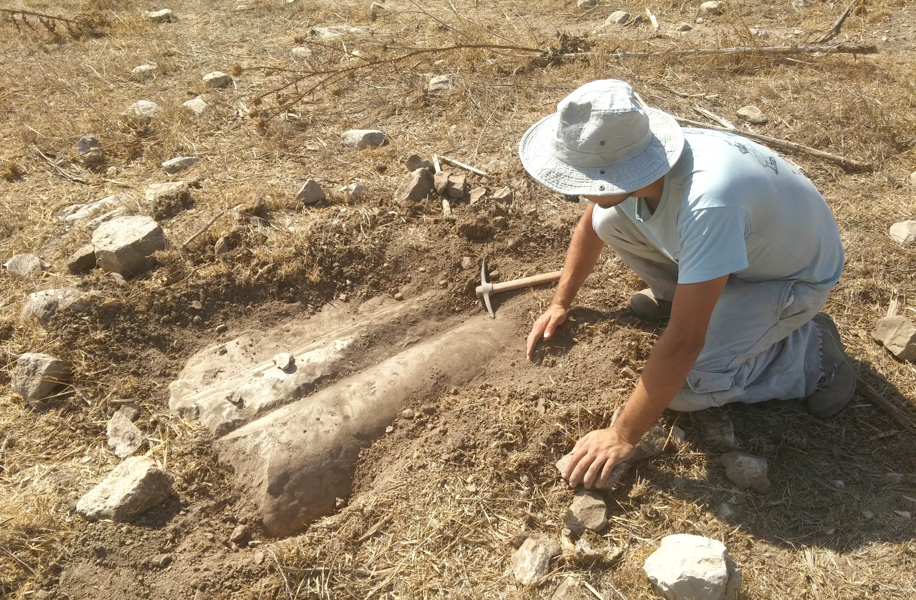
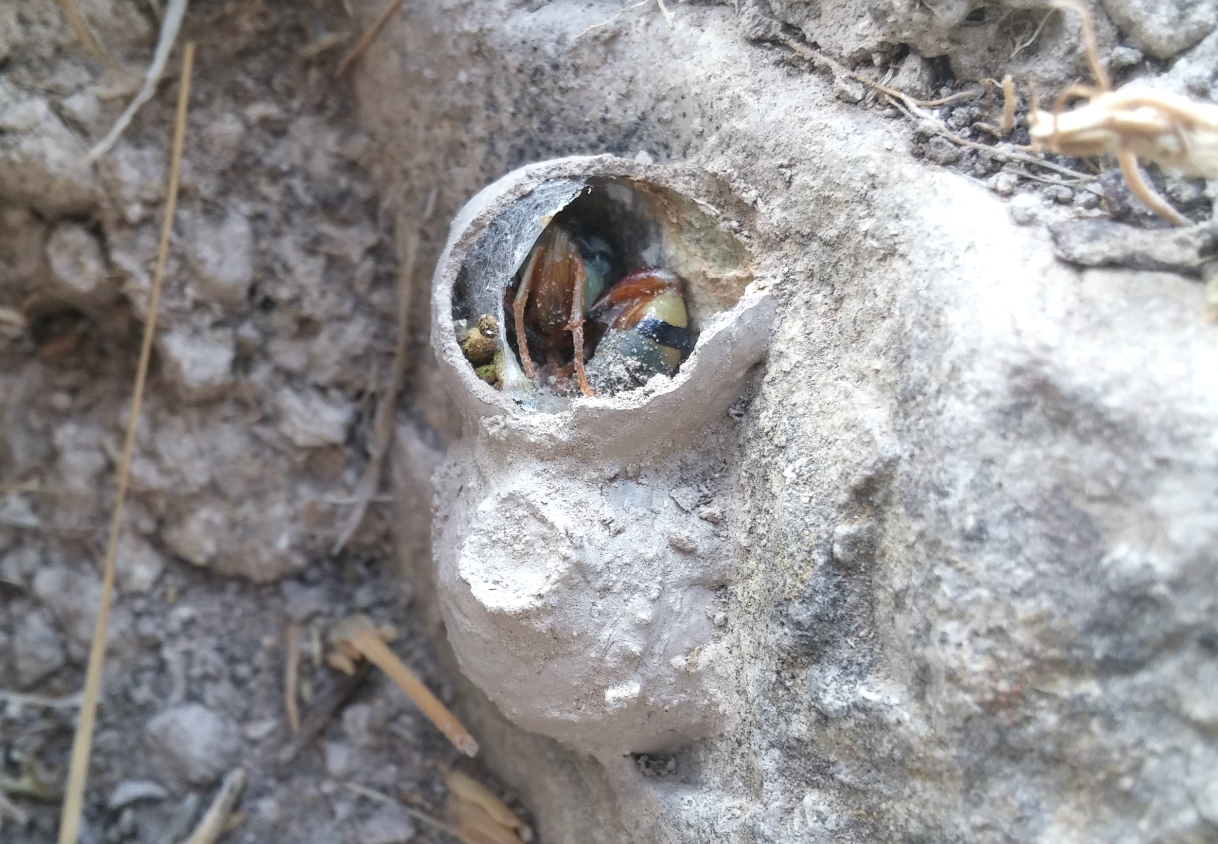
Partway up the hill, remains of what seems to be the city gate area constructed of mud bricks is clearly visible. At the western end of the tel is some remains of another structure of mud bricks partially buried in the dirt. A bit of scratching around at a burnt corner revealed interesting findings: broken animal bones and pieces of flint which were likely used to cut meat, remains of an ancient kitchen frozen in time.

Ancient kitchen at Tel Sharuhen
It was there that we tasted from the saltbush identified by one of the members of our party. At the northern end of the tel, a great expanse of interesting land including loess badlands was to be viewed and appreciated.
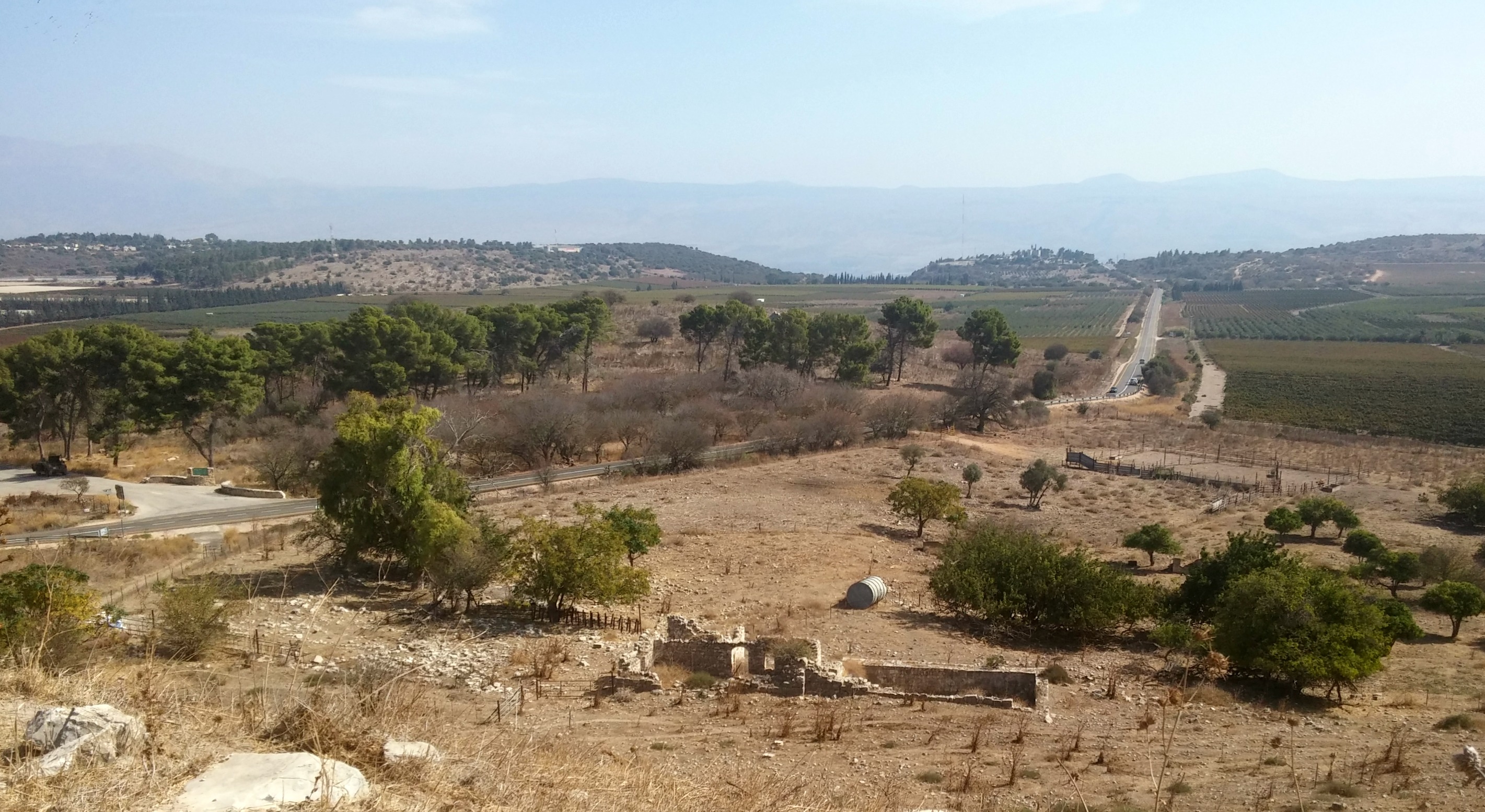
Nachal Besor
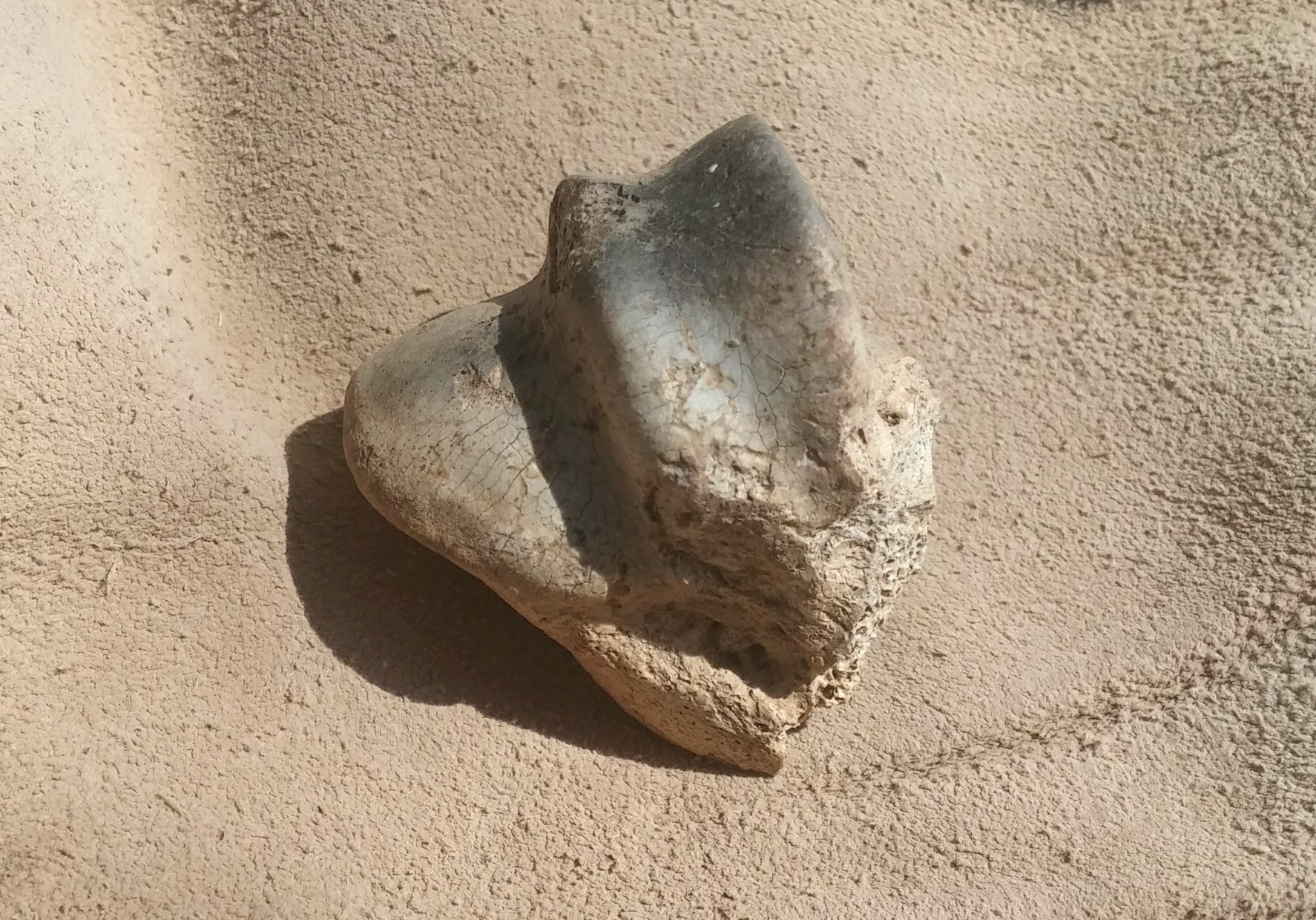
Whilst walking atop the tel, the broken rim of a carved stone vessel caught my eye and when I took it to experts at BIU the following week, I was told that it might very well be from the Second Temple period (2,000 years ago) – a fun find!
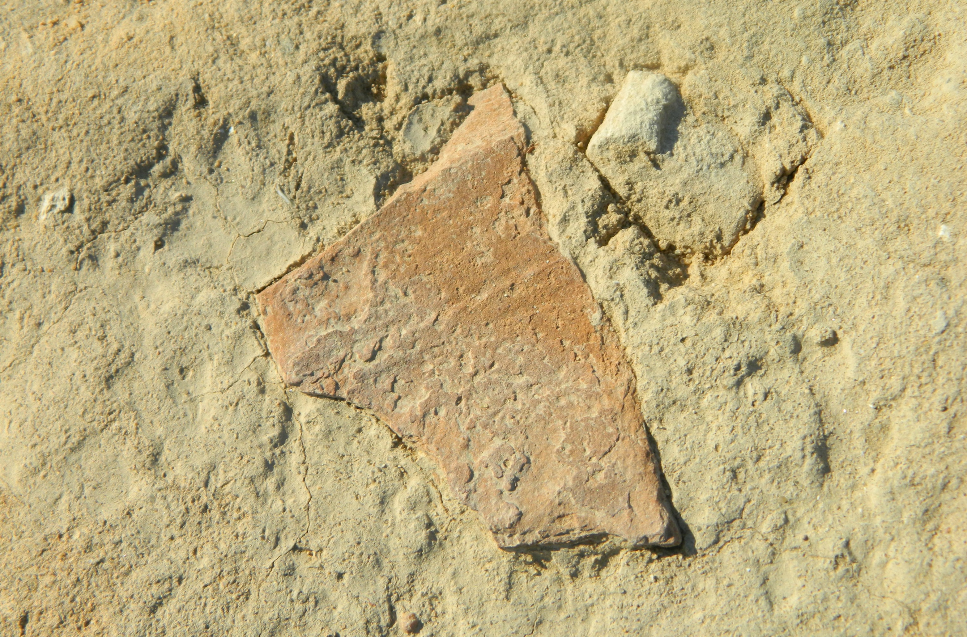
Potsherd stuck in the dirt
As exciting as our finds were, there was a schedule to keep and so our bus took us to our final destination: Tel Gamma (or Tel Jemmeh). Located just three kilometres southwest of where I stationed as a soldier during Operation Protective Edge (see blog post HERE), it was an unusual feeling revisiting the area under such different circumstances.

Stormy skies
With storm clouds darkening the skies, we hurriedly climbed the steep tel and surveyed our surroundings, including Nachal Besor to the north.
Tel Gamma the Steep
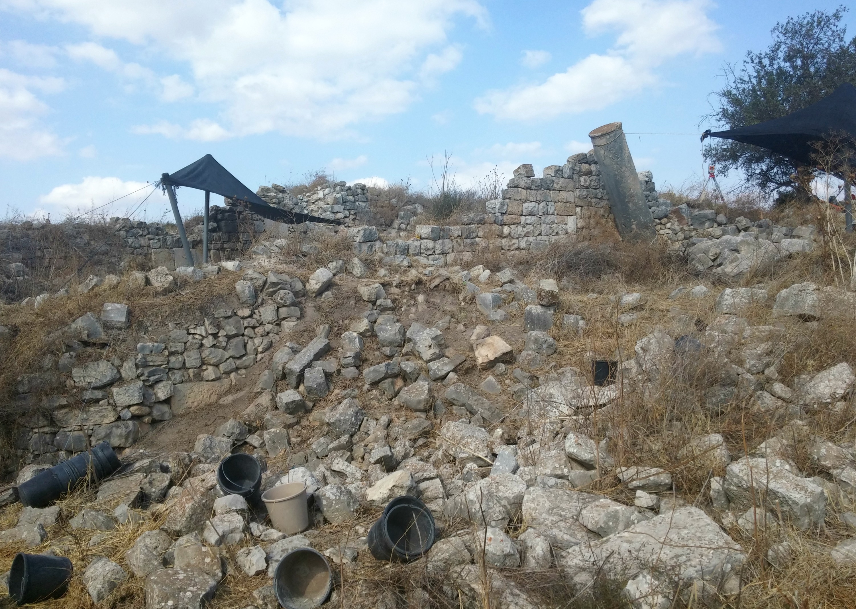
Archaeological digs uncovered remains that pointed to the Egyptians, Philistines and even the Assyrians who conquered the area some 2,700 years ago. With broken pieces of ceramic vessels and bones littering the excavated area, we couldn’t help but give the burnt wall area a quick surface scratching, revealing some rather large and impressive bones.

Wall-scratching at Tel Gamma
At last rain began to trickle down and so we headed back to the bus, our tour of the northwest Negev coming to an end. Just to recap, these were ancient cities that were mostly abandoned long, long ago – before the time of Alexander the Great, to give perspective. Also, to simplify my narrative of our trip, there are many interesting historical and archaeological anecdotes that would delight some readers, but, alas, I aim to keep all readers adequately entertained.

Raindrops on the window
With that been said, there is little material evidence of the cities’ prior glory and might to be seen with the naked eye; it takes a bit of imagination to envision what these sites once were.