This past Sunday, my father and I drove down to Bet Shemesh and Ashdod for shipping-related work, hoping to have a little fun as well. Leaving early in the morning in the rain, we chose the desert route – border-hugging Road 90 from Tzfat down to Jericho and then Road 1 through Jerusalem. Stopping momentarily in Bet Shean we had a large flock of pelicans pass overhead; the bird migrations in full force this time of year.
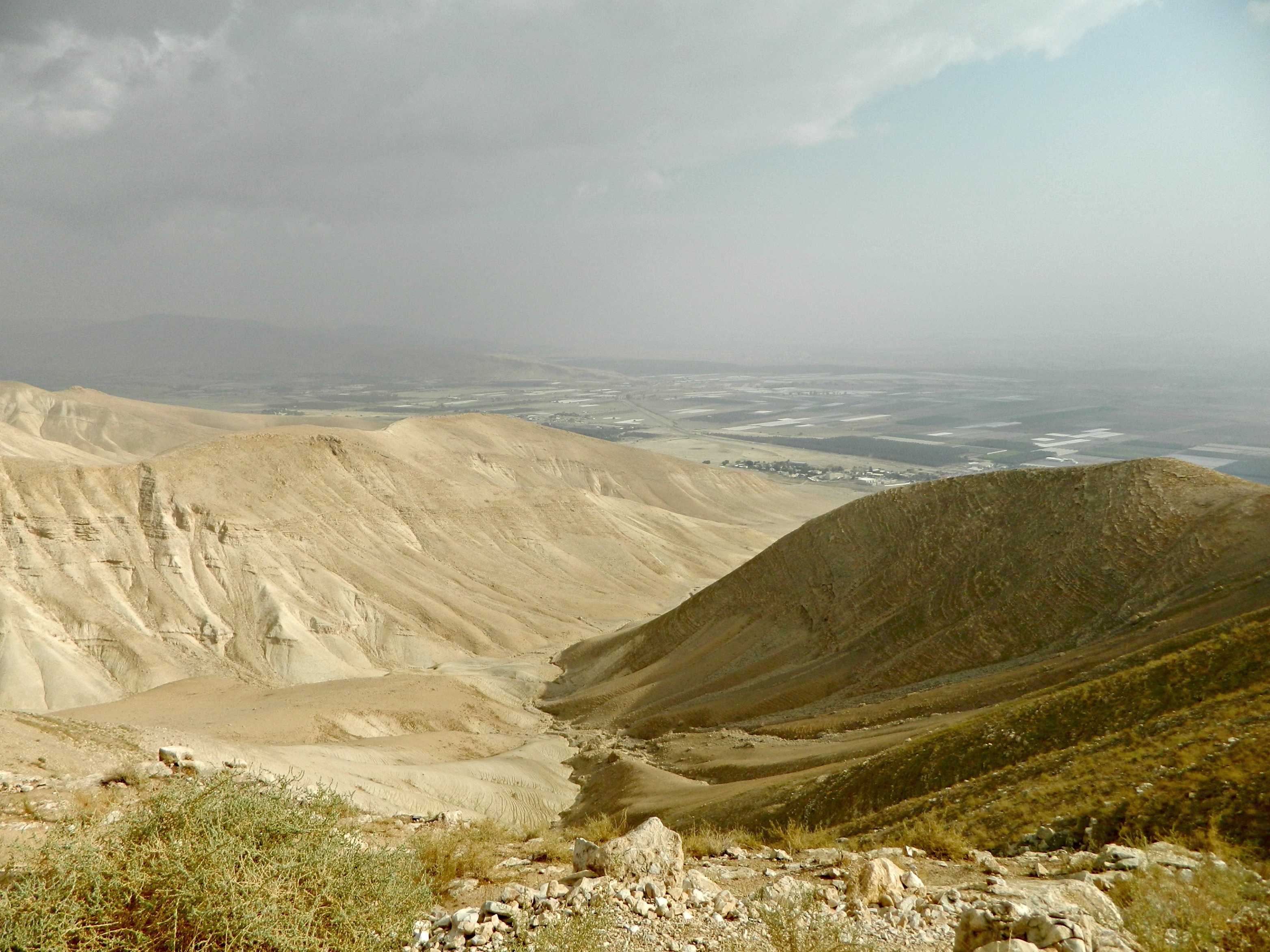
Looking down towards the Jordan River Valley
Our first stop was intended to be the mountaintop fortress of Sartaba (Alexandion) just before Road 505’s junction and after a wrong turn into a town, we were directed to a single-lane road that took us winding up the adjacent mountain. There, after parking, we found a desolate army outpost and a trail leading out to a rocky horn that I assumed was Sartaba.
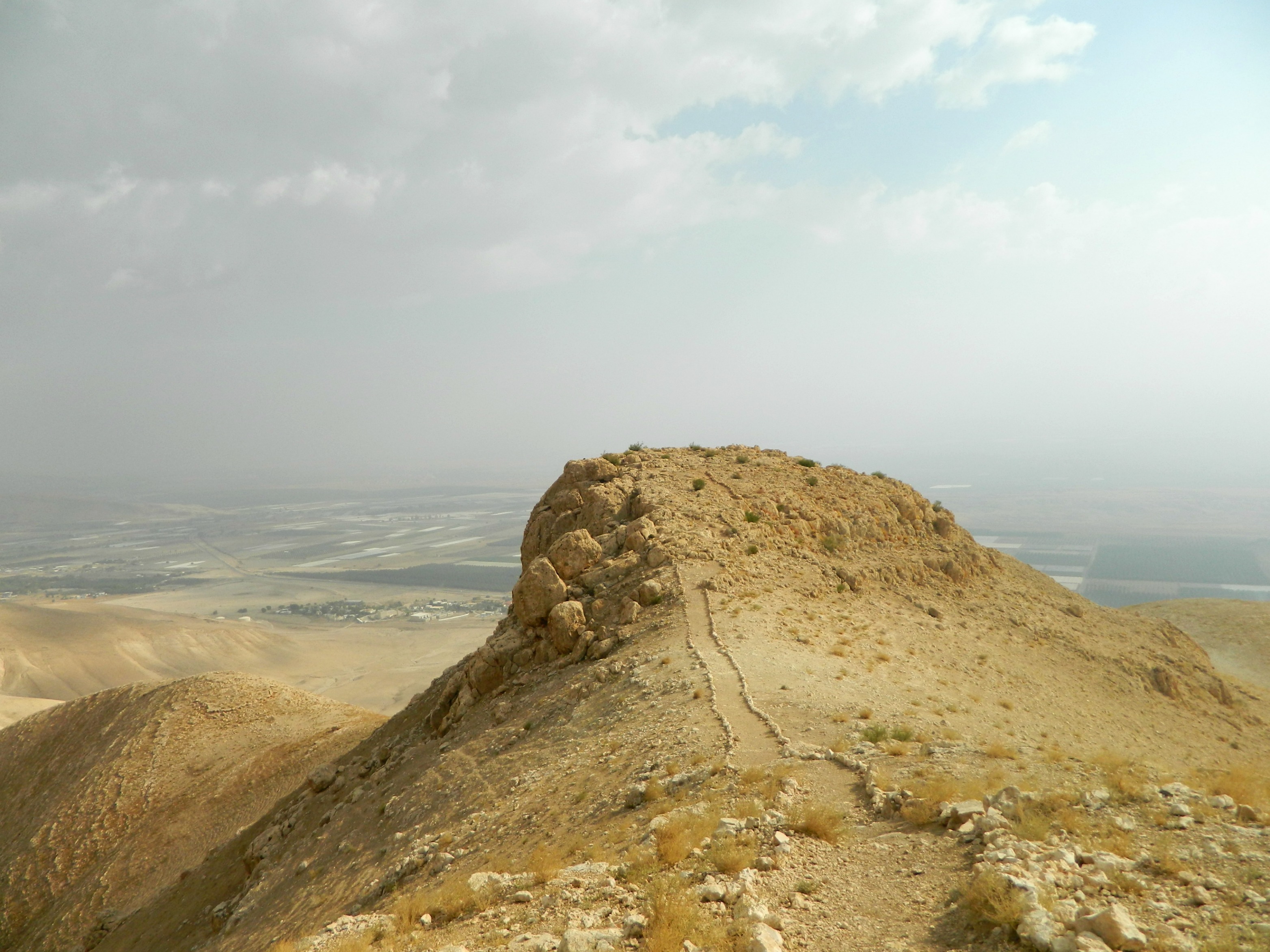
Rocky horn – not Sartaba
Up on the horn, gazing out at the Jordan River Valley, I activated my phone’s GPS and discovered that the actual site was a few kilometres west from where we were standing. As you can see here, the dirt road snaking up the mountainside leads to Sartaba, looking down from where we were beside the army outpost.
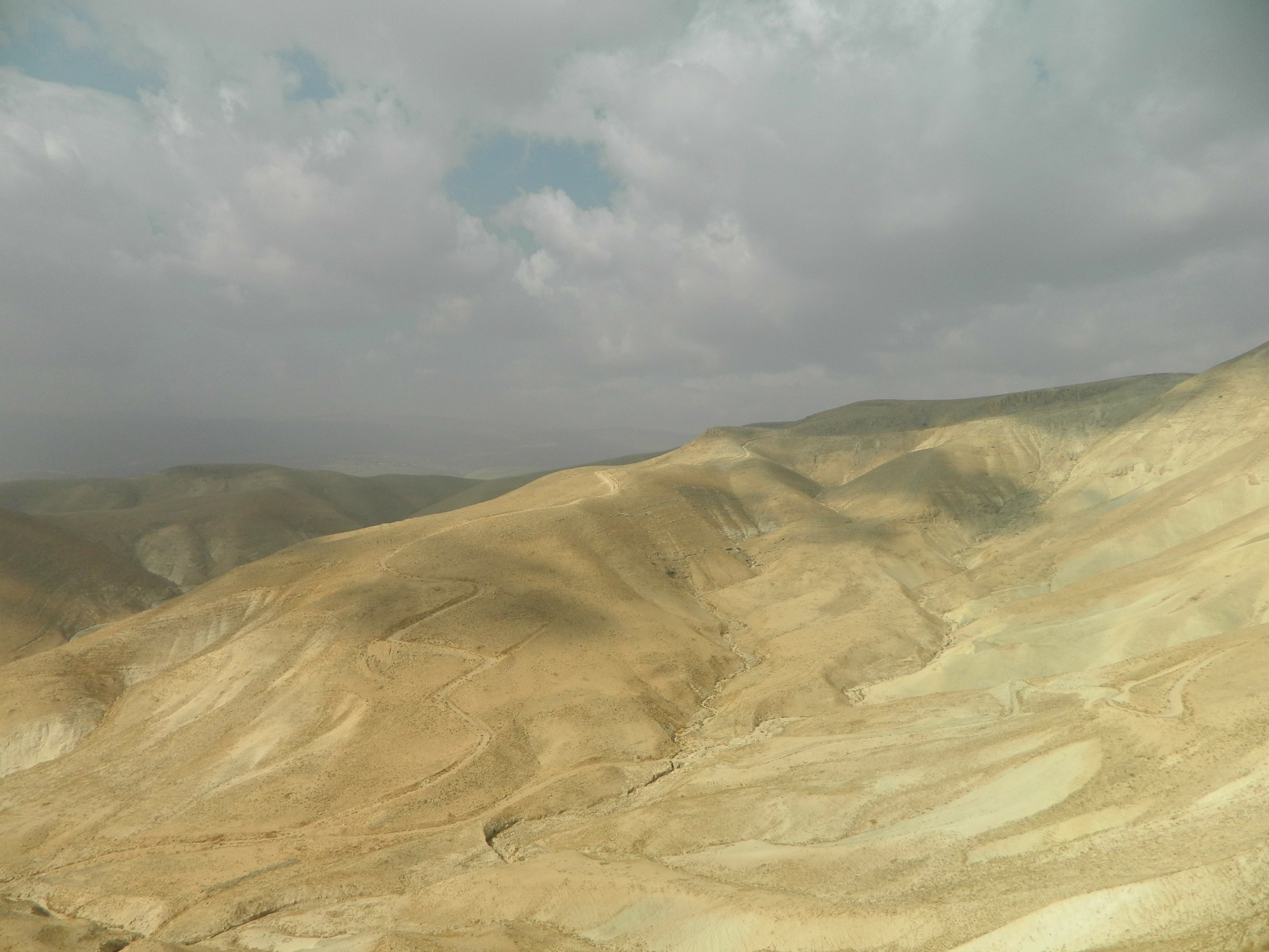
The winding road to Sartaba
As we looked out at the stormy clouds and the barren mountainous landscape, my father decided to see if he could roll a rock all the way down the mountainside. After the first rock crashed down into the dry streambed below, we saw small figures running away from the single-rock avalanche. I called out to my father to look at the birds running down there, assuming they were chukars or some desert quails, and then zoomed in on them with the camera. The 25x optical zoom was not enough and so I entered the iffy realm of digital zoom. I snapped and prayed, having a hard time seeing the colour-camoflauged creatures down below. Checking the display scene, I found myself looking at not birds, but gazelles:

Gazelles down below
Returning to the car, we attempted to drive to the real Sartaba but the road was too precarious and we do not have a 4×4. So, we returned to Road 90 and tried from a different access point. More rugged terrain suitable only for a 4×4. So, in summary, any attempt to reach Sartaba either requires a 4×4 vehicle or a very long hike up and around a mountain. Continuing down Road 90, we stopped next at a site known as Qasr al-Yahud (Arabic for “Castle of the Jews”) which is a spot along the Jordan River famous for several reasons. When the Jews crossed the Jordan River entering the Holy Land thousands of years back, as documented by the Bible, they crossed “opposite Jericho” and so tradition has it that this is the very spot where the waters stood in a pillar for the Jews to cross into the Land. Later, it is believed that this is where Eliyahu (Elijah) the Prophet ascended to the heavens after crossing the Jordan with Elisha.
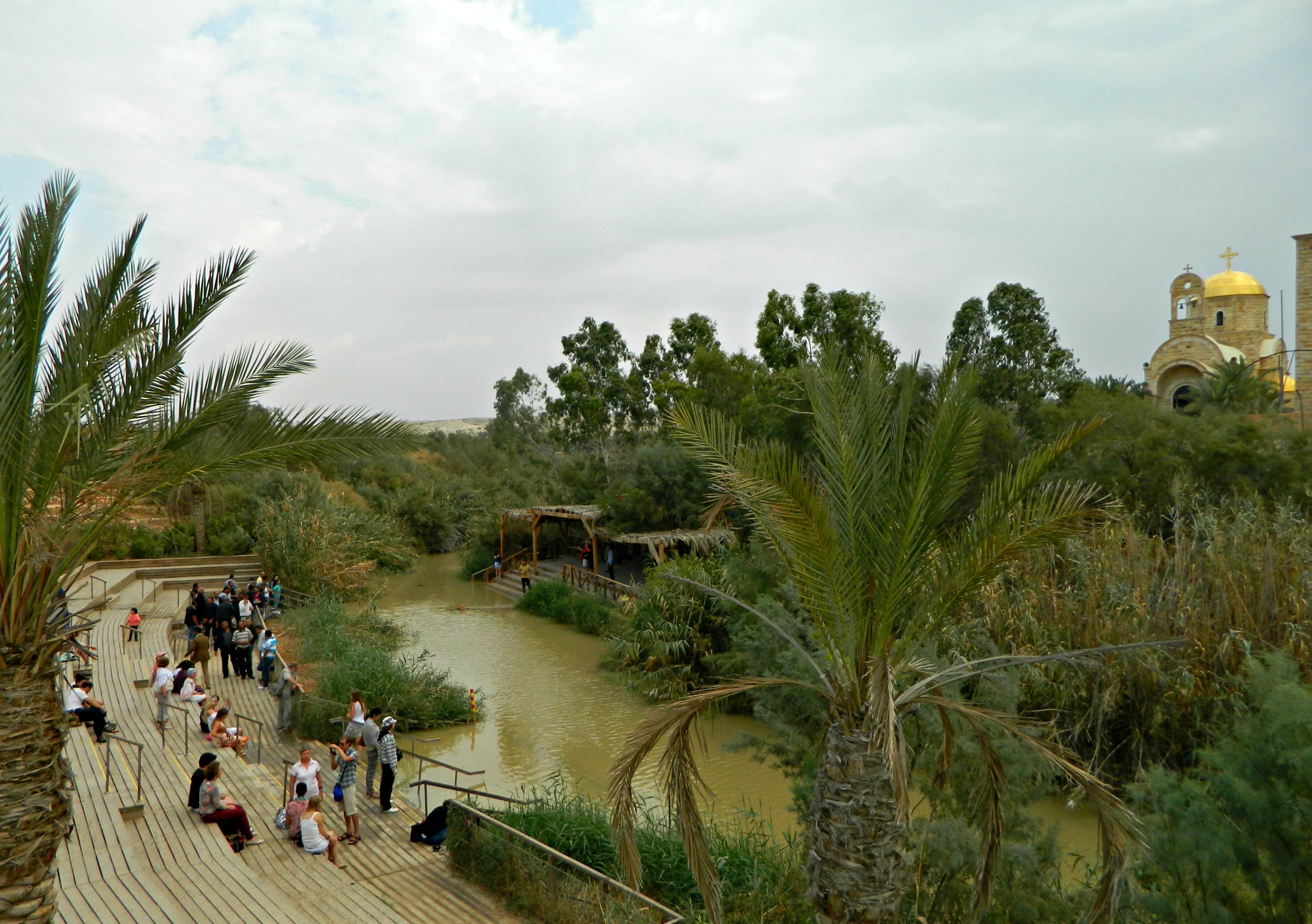
Qasr al-Yahud – Israel and Jordan
But today’s tourists are mostly Christians who come to Qasr al-Yahud to baptise in the waters of the Jordan, a holy site harkening back to the dawn of Christianity. As far back as the Byzantine era, churches and monasteries were built along the banks, these being the lowest churches in elevation on Earth. These monasteries often served as safe havens for Christian pilgrims during times of Arab rule. The oldest monastery is St John’s which was rebuilt during the Crusader period on ruins from a Byzantine-era church. During Ottoman rule, when there was easy access for pilgrims, many Christian orders came and built their own monasteries. Earthquakes in 1927 and 1956 severely damaged the monasteries and after the Six Day War in 1967, the area became a closed military zone.
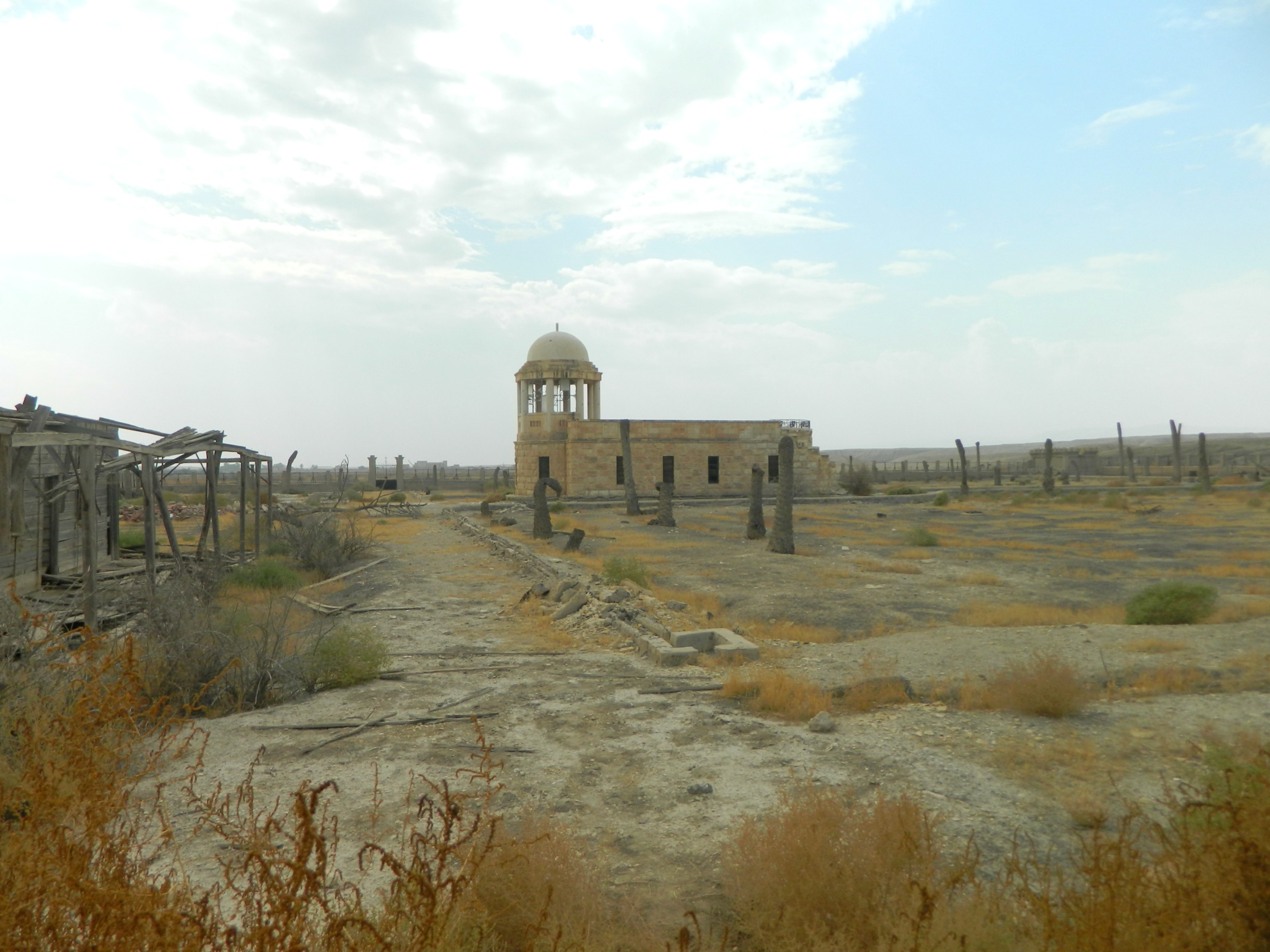
An abandoned Franciscan chapel
In the following decades, the monasteries became refuges for terrorists crossing the border and so the IDF was forced to set mines around the partially ruined buildings.
A minefield
Now, at times of peace with Jordan, the site is open to visitors but several of the monasteries are still minefields and fenced off. When we visited, there were two Israeli soldiers and one Jordanian soldier guarding the border – a mere thirty feet or so of muddy water, where several pilgrims were in the water in white tunics.
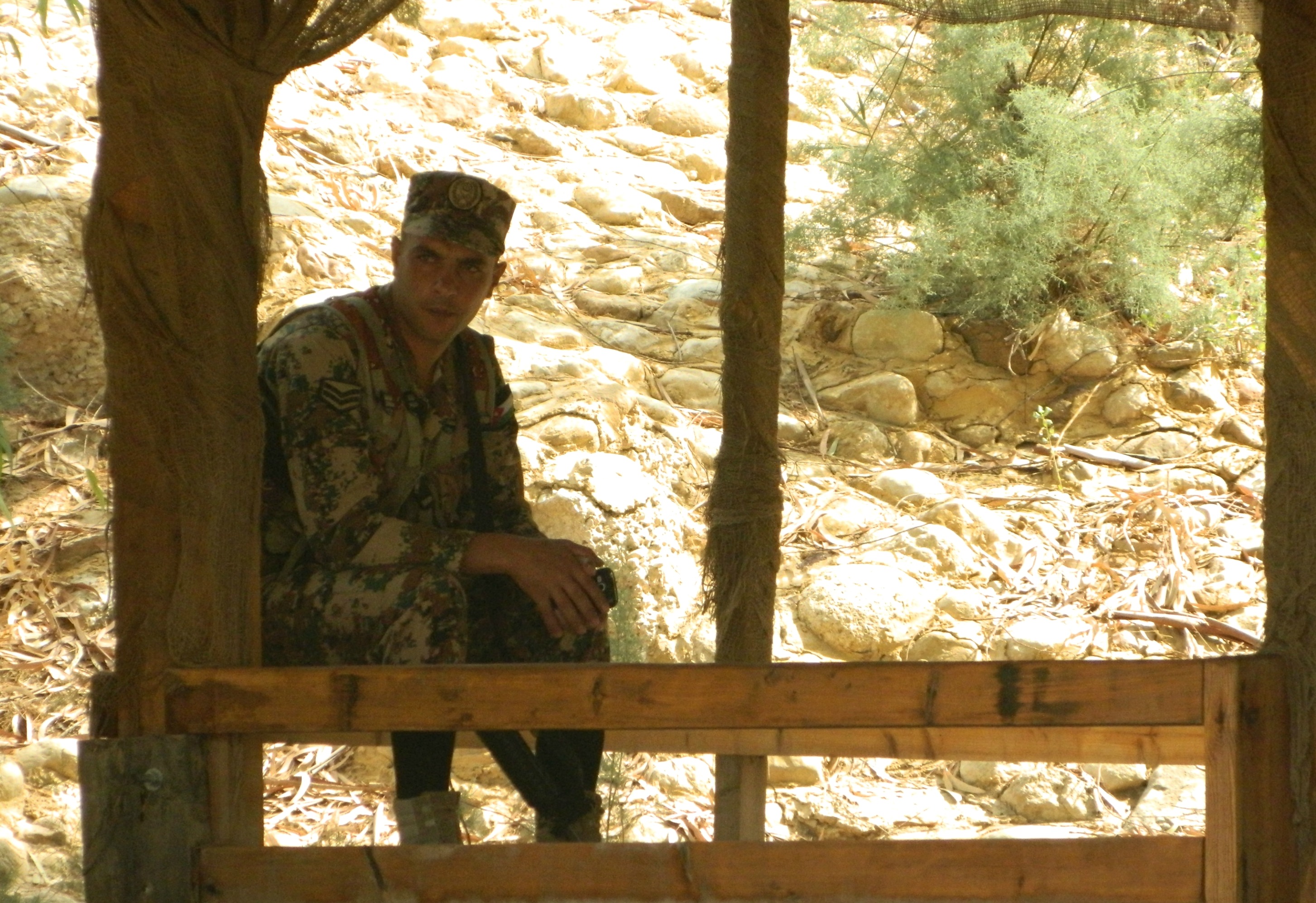
Jordanian corporal keeping watch on the border
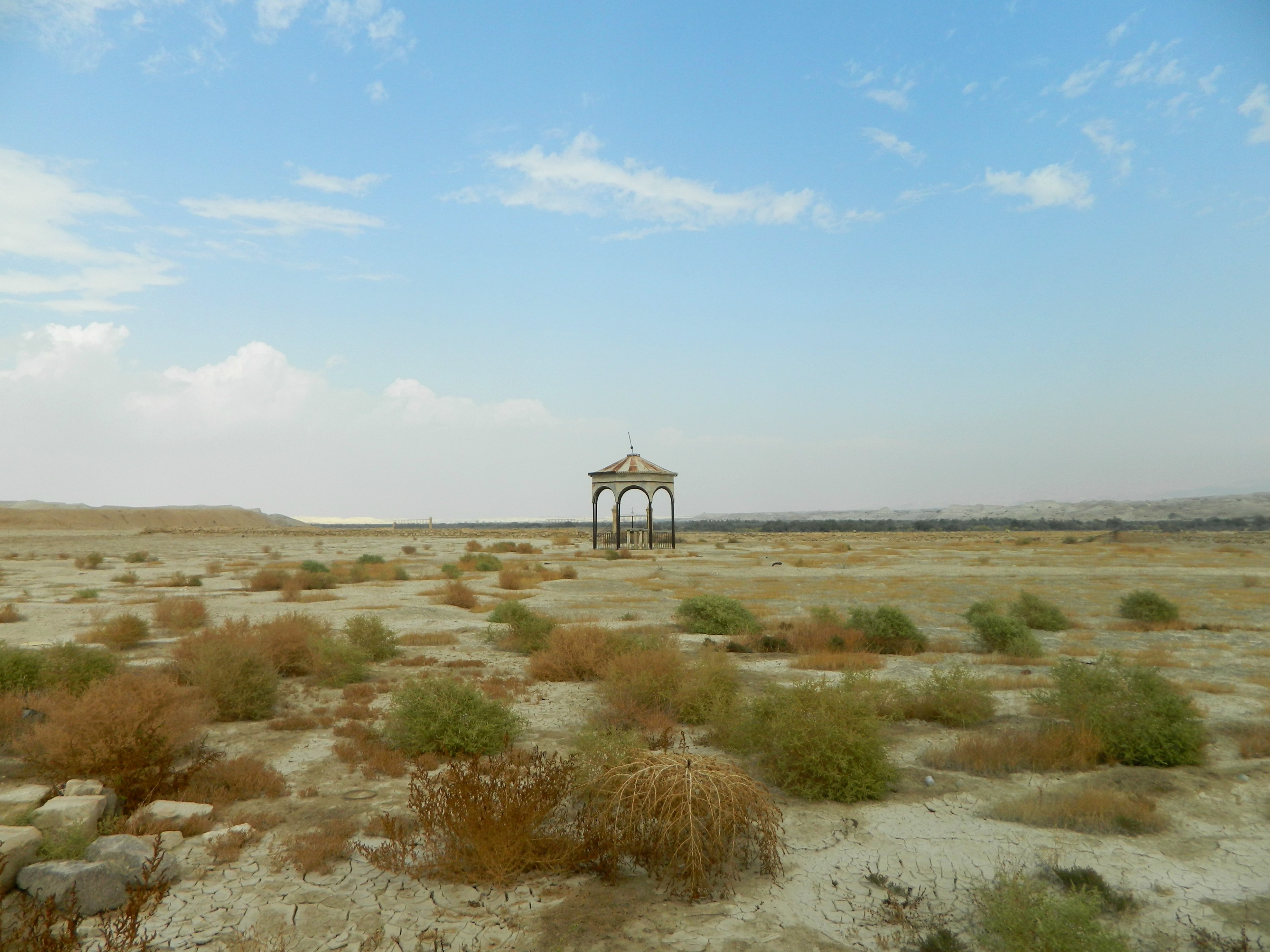
After Qasr al-Yahud we kept driving until we reached the Beit HaArava Junction. There, we turned onto a small road to see the remnants of the original settlement of Beit HaArava (1939-48). At the end of the road we saw a few ruined houses, but they were on the other side of the security fence. We also saw a sign to the first potash plant which was in operations from 1925 till 1948. Getting back to the main road, we turned onto Road 1 to Jerusalem and took a two-minute detour to photograph Nabi Musa, the Muslim shrine and mosque for what they believe is the burial place of Moshe (Moses).

Nabi Musa
Pressed for time, we abandoned plans to visit the Kotel in Jerusalem and instead had a quick visit with family friends in nearby Ma’ale Adumim and then headed for Bet Shemesh to get the work done. When we left Bet Shemesh, heading for the port of Ashdod, this magnificent rainbow appeared in the sky:
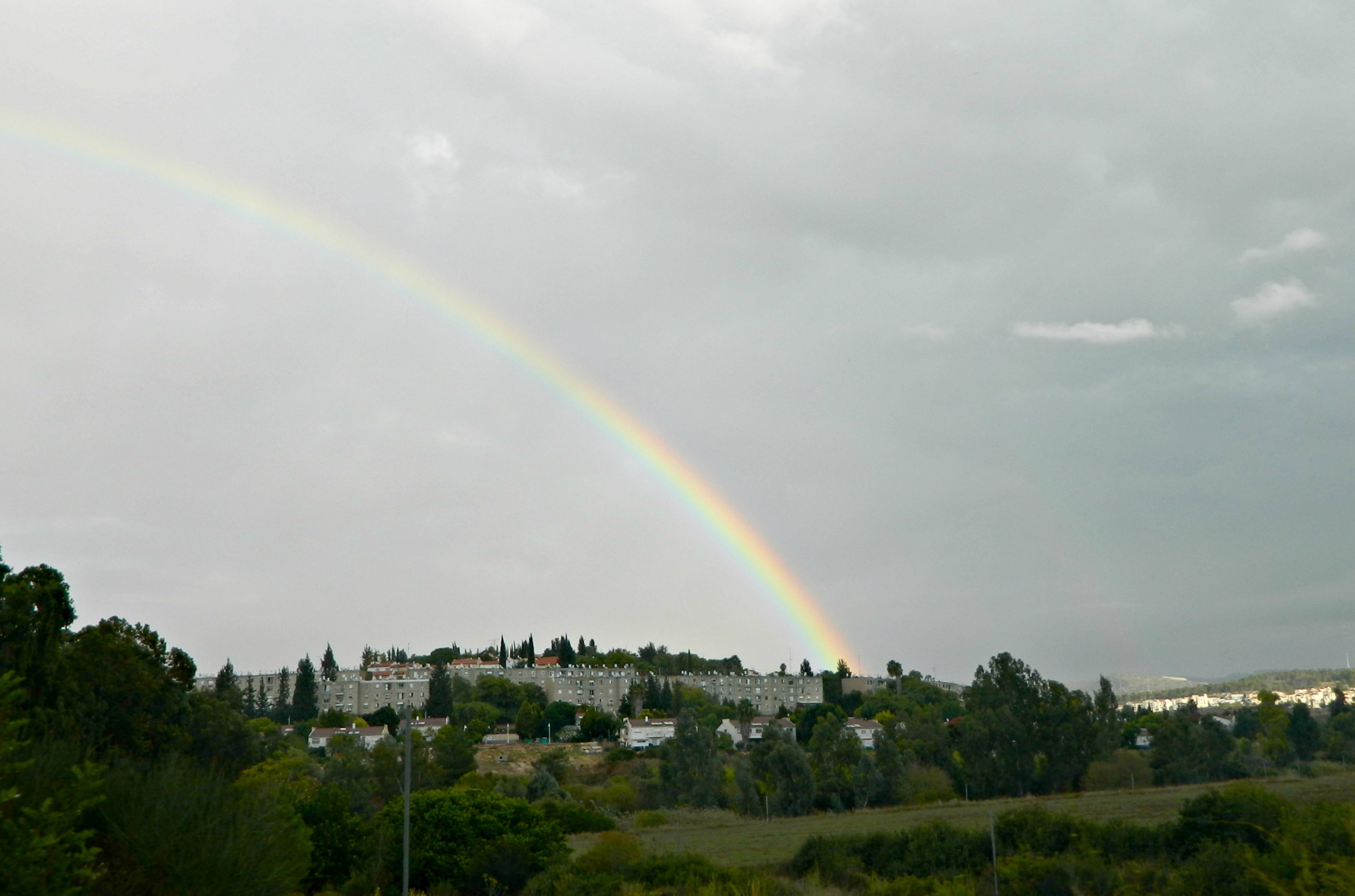
Rainbow over Bet Shemesh
After dinner in Ashdod, we took the labourious drive home via Road 6 – Israel’s longest toll-road and arrived home sometime after 9pm.

Next time, not long after passing Tzomet Tzemach, headed south on Route 90, take a quick turn left at Ashdod Ya’akov and then a quick right to Naharayim (also called “The Peace Island”). You can see both the remains of the hydroelectric plant built by Pinchas Ruttenberg, beginning in 1927 – see http://www.israeldailypicture.com/2012/07/the-great-and-electrifying-pinchas.html for more about Mr. Ruttenberg and the power plant – AND the memorial to the 7 Israeli girls who were killed there (by a Jordanian soldier) in 1997. It won’t take but 15 or 20 minutes to have a good look around, but both are very powerful images of both pre-State Israel and the work that was done to make the area more liveable AND the ongoing security situation, even with the “peace treaty” with Jordan.
Thank you for the suggestion, there are so many interesting things to see there so I shall be sure to visit Naharayim as well.
Also, thanks for stopping by and reading!
[…] miles away from Shechem (Nablus), King Omri moved his capital from Tirzah (in the mountains of the Jordan River Valley) to a safer area inland, property which he purchased from a man named Shemer (the origins of the […]
[…] Unfortunately, as there is no guide or comprehensive description of the ruins, I can’t really describe the series of rooms that I then saw as I drew closer. While researching this site I came across a reference to a monograph written by the late Professor Yizhar Hirschfeld titled “Deir Qala and monasteries of Western Samaria”, however the only copy I could find is in the Hebrew University’s library in Jerusalem – not too readily available, although I’m sure I could have gleaned some useful information from it. Being as that I was detouring from “operational duty” I couldn’t linger too long and missed noticing that there are tunnels connecting several of the rooms in the ruins complex. What I didn’t miss were the numerous etched Maltese Crosses (as used by the Hospitaller Knights of the Crusades) and the incomplete floor mosaics – in fact, a fully restored mosaic from Deir Qal’a is on display at the Good Samaritan Museum between Jerusalem and Jericho, not far from Nabi Musa. […]
[…] north of ancient Bet Shean, this Crusader fortress stood on an escarpment overlooking the Jordan River Valley – a seemingly impenetrable bastion. From Road 90, running parallel to the Jordan River, I […]
[…] our target destination being located in the Jordan River Valley area of the country, it was quite a drive to get there coming from Bar Ilan University. Although, […]
[…] (also known as Qasr al-Yehud, yet not to be compared to the baptismal site on the Jordan as seen HERE) originally dated back to the Iron Age, and was rebuilt during the Hasmonean and Roman periods. Due […]