Returning to the academic field trips offered by Bar Ilan University’s Land of Israel Studies and Archaeology department, I signed up for a fun trip focusing on geography to the southern half of the Golan. I was joined by my friend Adam Ota, a member of the class, and together we joined the other tour members and the guide, Mr Moty Rubinstein, at the entrance of the campus. Our minibus set off on its course, taking us along the long ride to our first stop, which happened to be in the Galilee.
Hod Lookout
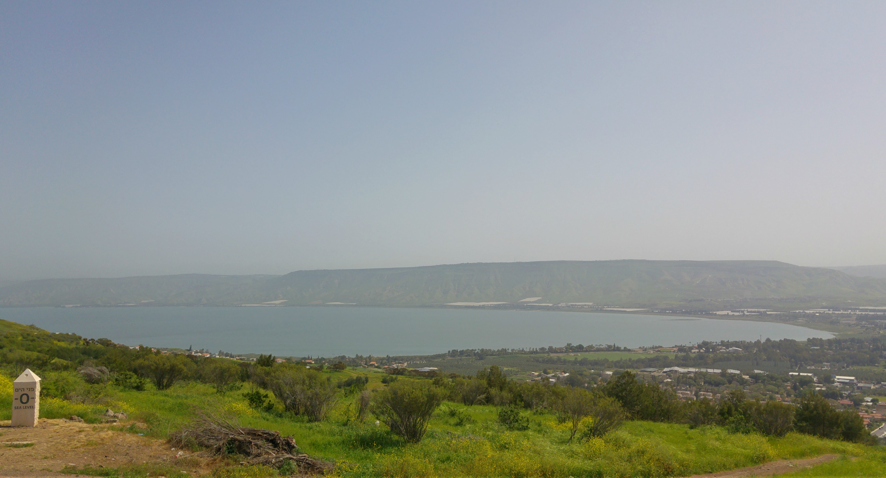
We disembarked at the Hod Lookout, a site that I had visited during the department’s two-day trip around the Kinneret two years ago. There we looked out over the Kinneret (or Sea of Galilee) and the rise of the Golan’s plateau. From a geographical standpoint, it’s easy to understand the rift in tectonic plates between the Galilee and the Golan. But we weren’t just enthralled by slowly shifting land masses, a short-toed eagle soared right overhead, impressing us all with its size.

Lookout over the bridge
From there we made our way down to the Golan, taking the scenic route through the old settlements which I had seen on a previous field trip (HERE). We crossed over the Jordan River and made our way through the picturesque green and yellow slopes towards the Yarmouk River, the border between Israel and Jordan. Our destination was the El Hama Bridge Lookout with its view of the broken El Hama Bridge over the Yarmouk. The bridge was destroyed, along with nine others, in a nighttime sabotage operation by the Palmach in 1946.

The broken El Hama Bridge
The view from the lookout was incredible overall, with the old military trenches, nice birding (including my first woodchat shrike for the season) and impressive wildflowers. We could have spent the entire day there, but there was more to see so we climbed back into our minibus and continued along Road 98 until we reached the next destination, HaShalom Lookout.
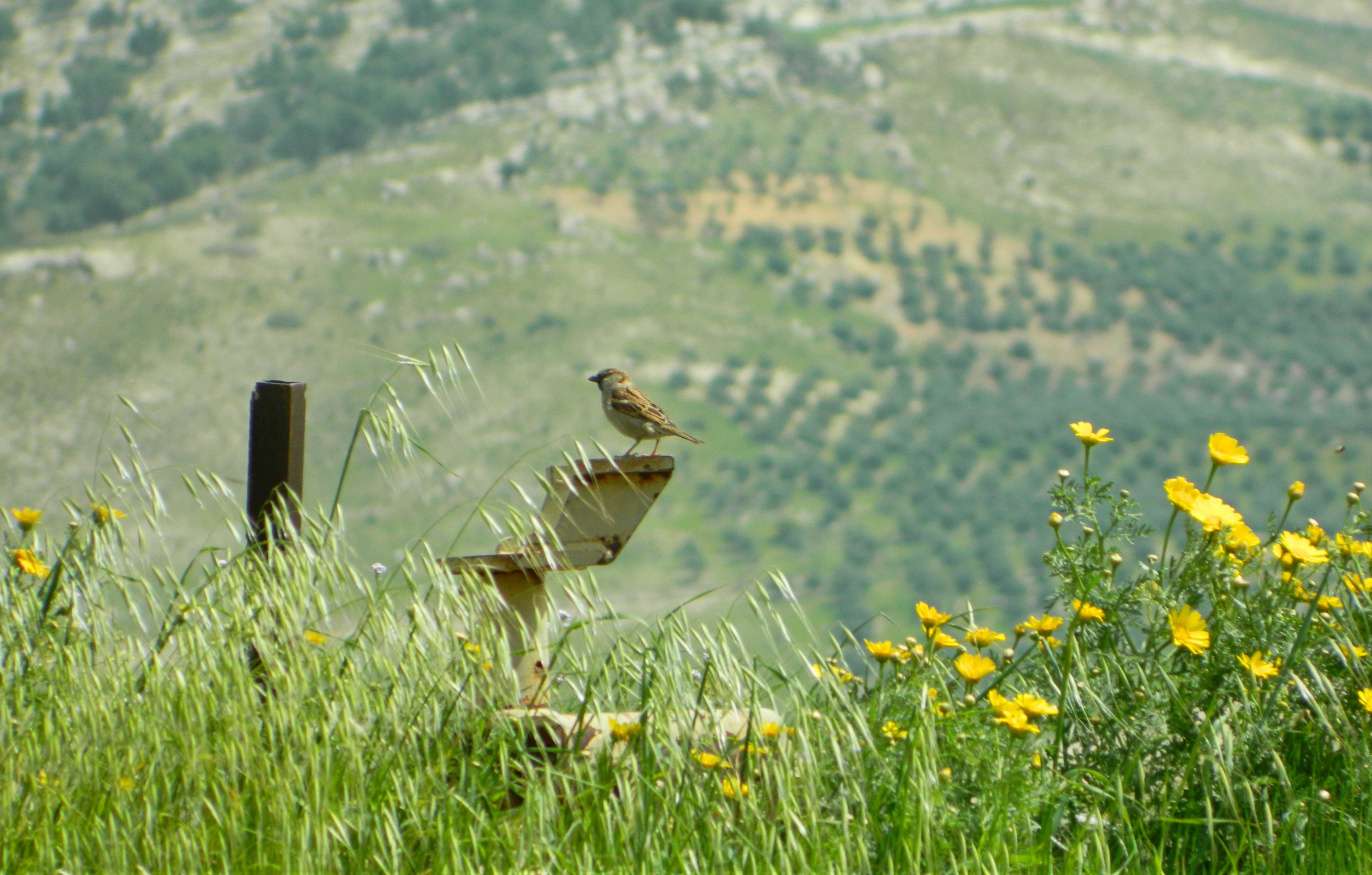
Just a house sparrow…
With its view to the west, this lookout provided a different scene than the two previous ones, and at last we were seeing the high concentrations of volcanic basalt rock that the Golan is famous for. We looked out over the Kinneret and enjoyed the view, whilst keeping an eye on possible birds of prey soaring below. Adam’s sharp eyes picked up on a small flock of black storks spiraling in the heat thermals, joined by two buzzards.

View from HaShalom Lookout (photo Adam Ota)
We joined others in going down to the nearby spring, a ten minute hike downhill, seeing a few songbirds on the way. There were an abundance of wildflowers as well, such as mallow, wild mustard and the interestingly named musk deadnettle. The spring that we found was a rectangular concrete pool with a small amount of fresh mountain water trickling in.
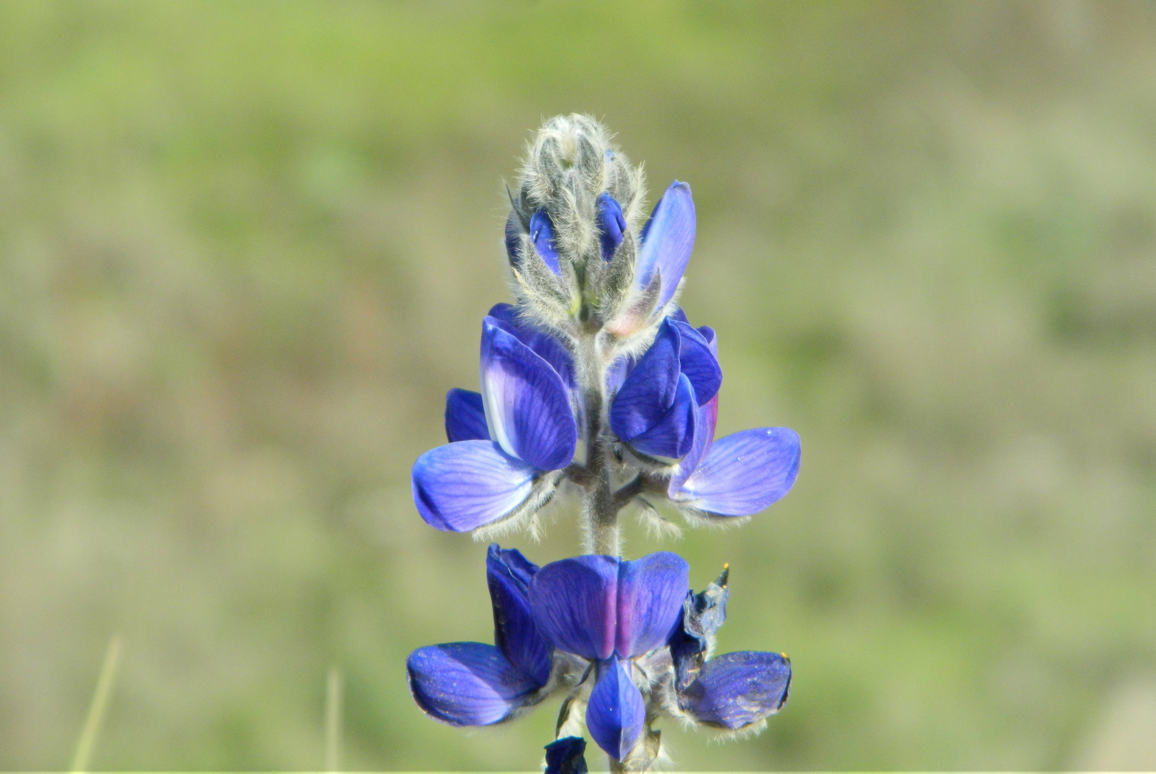
Lupine blossom
Back up at the lookout we had lunch and prayed mincha (the afternoon prayer) with a group of Hasidic lads who were also enjoying the beauty of the Golan. Getting back into our bus, we took a short detour to a field where a sign declared it to be the Nov Grant-Duff’s Iris Nature Reserve. We didn’t find any irises, as we had hoped, but we did see some distinct-looking yellow asphodels as well as a handful of corn buntings singing their hearts out.

Mr Moty Rubenstein at the volcanic crater
Continuing on Road 98, we made our way eastward towards the Israel-Syria border. We were to see the natural volcanic crater of Mount Peres (or Tel Fares), one of the most southern extinct volcanoes in a line of sixteen that dot the eastern Golan. We passed the basalt khan (caravanserai) of Juchader, which I had visited at the end of my army service several years ago, and turned right onto the access road to the small mountain.
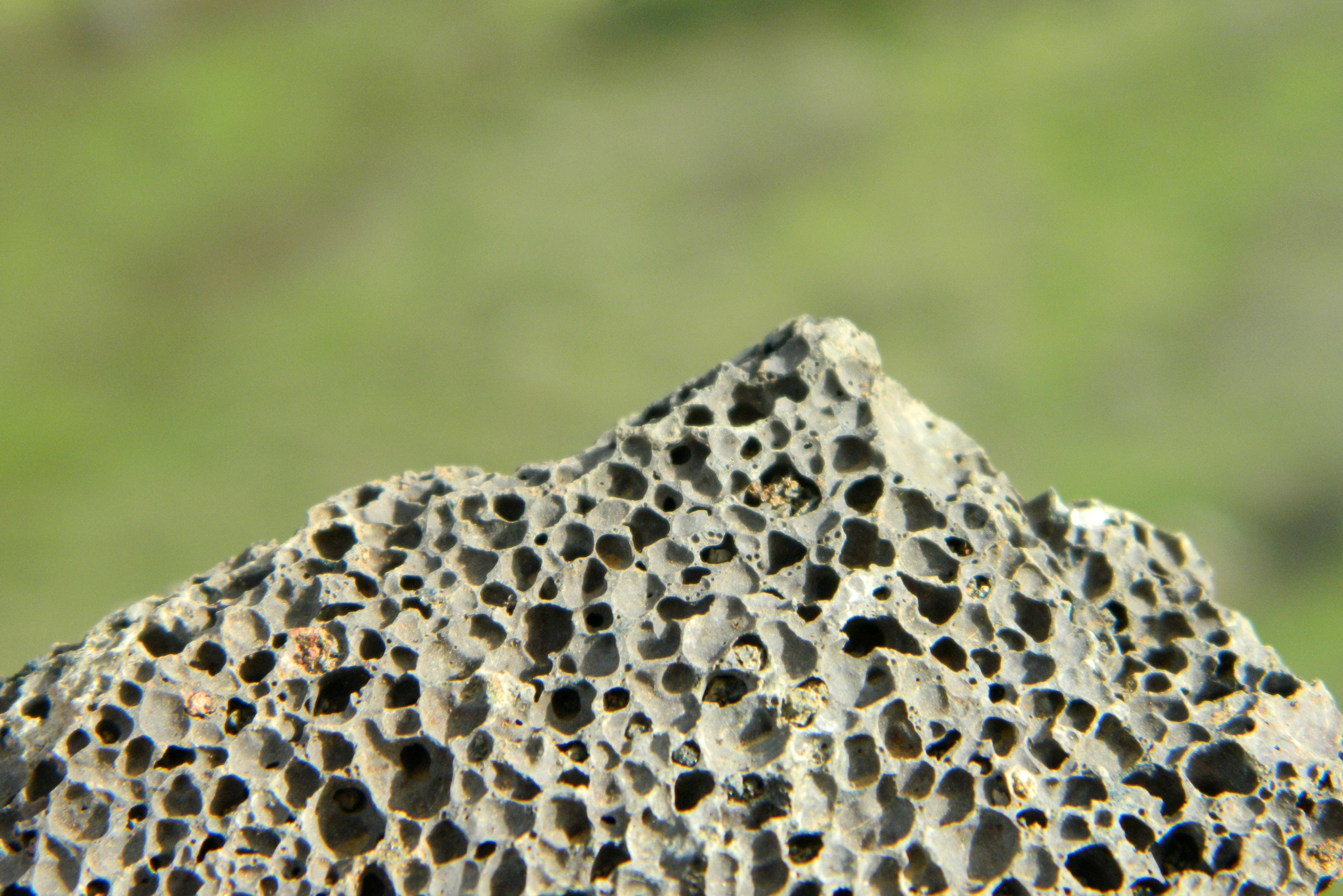
Volcanic rock
It was slightly surprising to see that part of the mountain was cut away, which we learned was actually the “harvesting” of tuff and scoria, types of volcanic ash rock used in construction, landscaping and more. Atop the mountain, we pulled over at the side of the road and got out to admire the grassy crater. Just across us was an IDF outpost, and together we enjoyed the view and the spring blossoms.
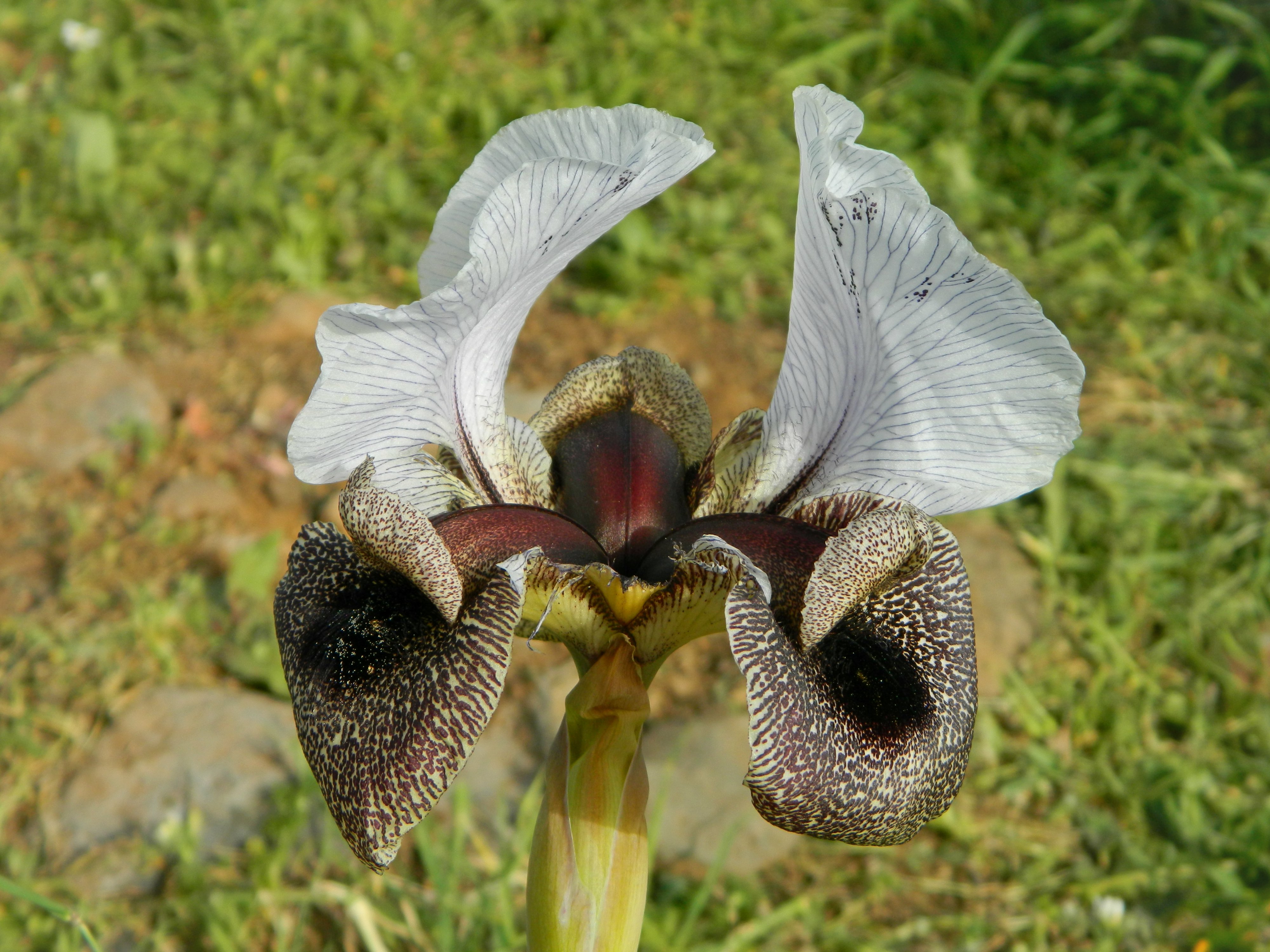
Golan iris
With that we were nearly done with the trip, there was just one more stop, and it was strictly for pleasure. We were going to see the Golan irises blooming at a random junction along Road 87, and this time we were not disappointed. The irises were in bloom and it made a lovely last stop in the beautiful Golan. Getting back into our minibus, we then began the long drive back to Givat Shmuel, bringing the end to yet another amazing field trip.
A video of this trip, which I made for the department’s YouTube channel, can be found HERE.

[…] succession, it can be slightly confusing as to which is which. This post is the counterpart to the Southern Golan post, a further look at the geology and topography of the Golan as a region. Our guide was Mr Moty […]