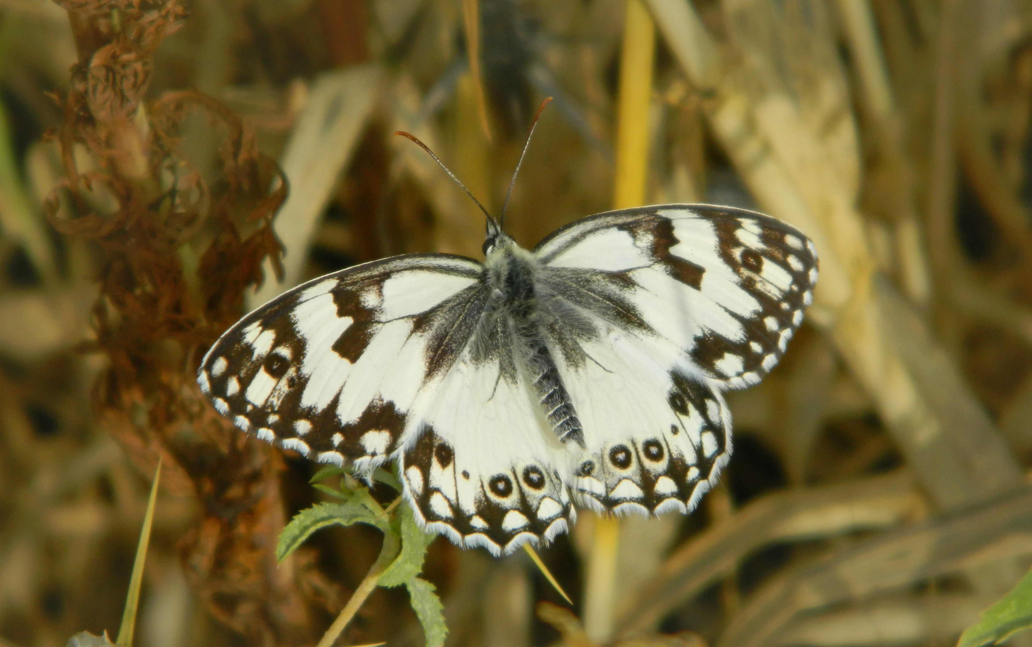
The week following Pesach break I went back down to Givat Shmuel and resumed my studies at Bar Ilan University. That Thursday, I partook in a field trip with Prof Aren Maeir to several sites in the Judean Lowlands. The first on the list was the famous site of Tel Gezer, located nearly seven kilometres northwest of Latrun and just over nine kilometres southeast of the city of Rehovot. We left BIU in the morning and made our way directly to Tel Gezer, our tour bus driving up the run-down access road to the top of the hill. There we disembarked and set off on a counter-clockwise tour of the site. Immediately, I noticed the abundance of black-and-white butterflies fluttering about, feasting on the wildflowers.
Levantine marbled white butterfly
Whilst I was crouching in the thistles distracted by the Levantine marbled white butterflies, Prof Maeir began the site overview lecture. Gezer was first settled in prehistoric times, but an actual city wasn’t established until the Bronze Era, some 4,500 years ago. Mention of Gezer can first be found in Egyptian records, such as the famed el-Amarna letters, and that was followed up by the Bible where it is listed as an important city. Conquering the land from the local Canaanites, the Israelites moved in alongside them in the city of Gezer, unable to conquer it completely. Gezer saw decline after the Hellenistic period, and was rebuilt as a small village during the Ottoman period.
Israelite ruins of Gezer
Gezer was excavated at first in 1902 by RAS Macalister, and archaeological digs have been ongoing nearly every decade since then up until 2015. Open to the general public, with signs and everything, the tel is now open as a national park. Returning to the history of the site, we discussed the famous Gezer calendar, a limestone tablet with a list of agricultural activities corresponding to the months of the year. Dr David Elgavish, a fellow lecturer at BIU, helped with the correct reading of the ancient script, allowing us to properly enjoy the archaic calendar.
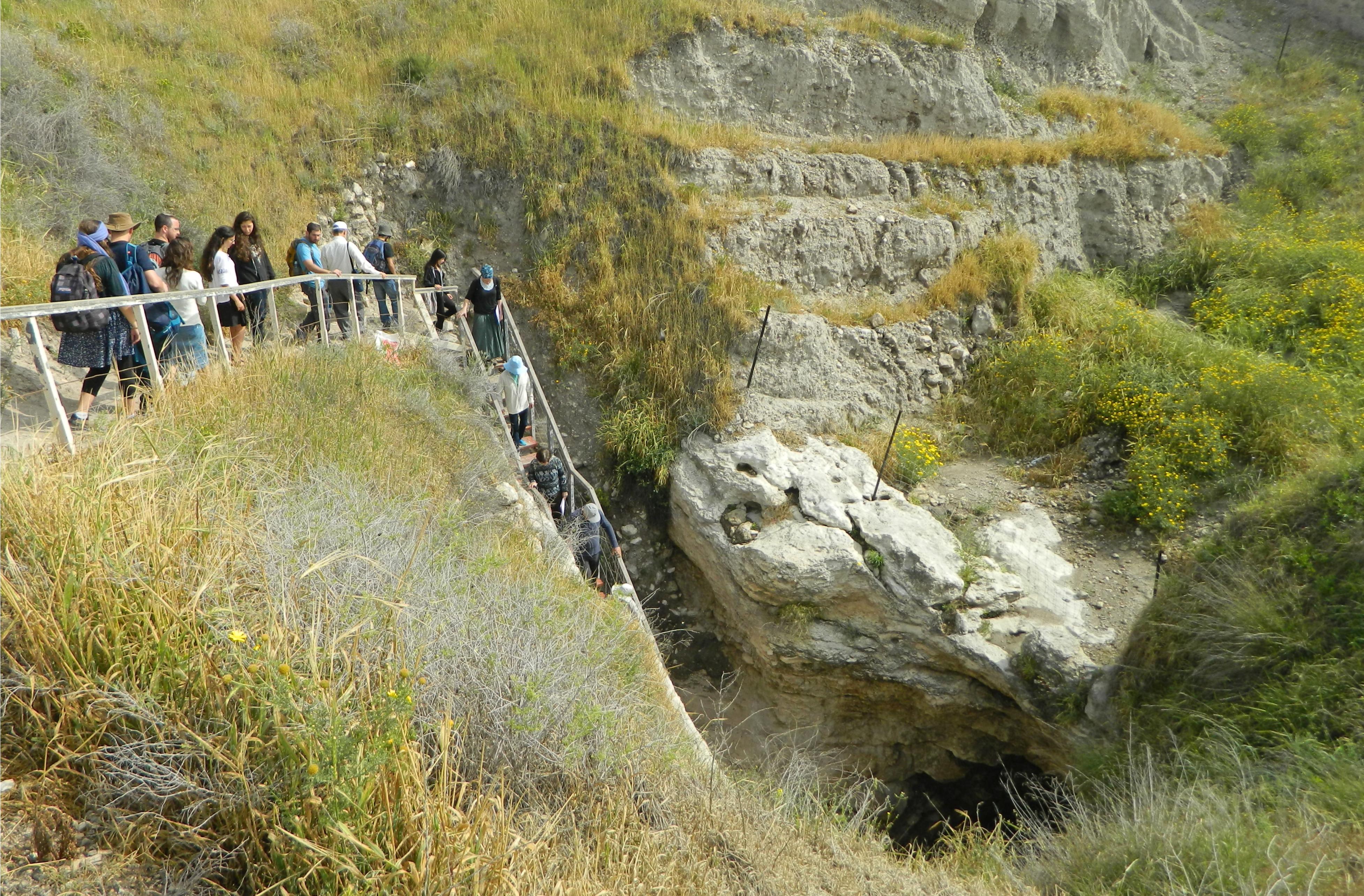
Descending into the underground water system
From there we entered the park proper, and made our way to the Canaanite ruins, starting with the ancient tower of large rectangular ashlars. Opposite the large tower, still within the ancient city limits, we found the entrance to the underground water system. We descended by way of stairs and peered into the depths of the sloped subterranean tunnel. Water could be found some forty metres below the surface hences the need for a relatively complicated method of extraction.
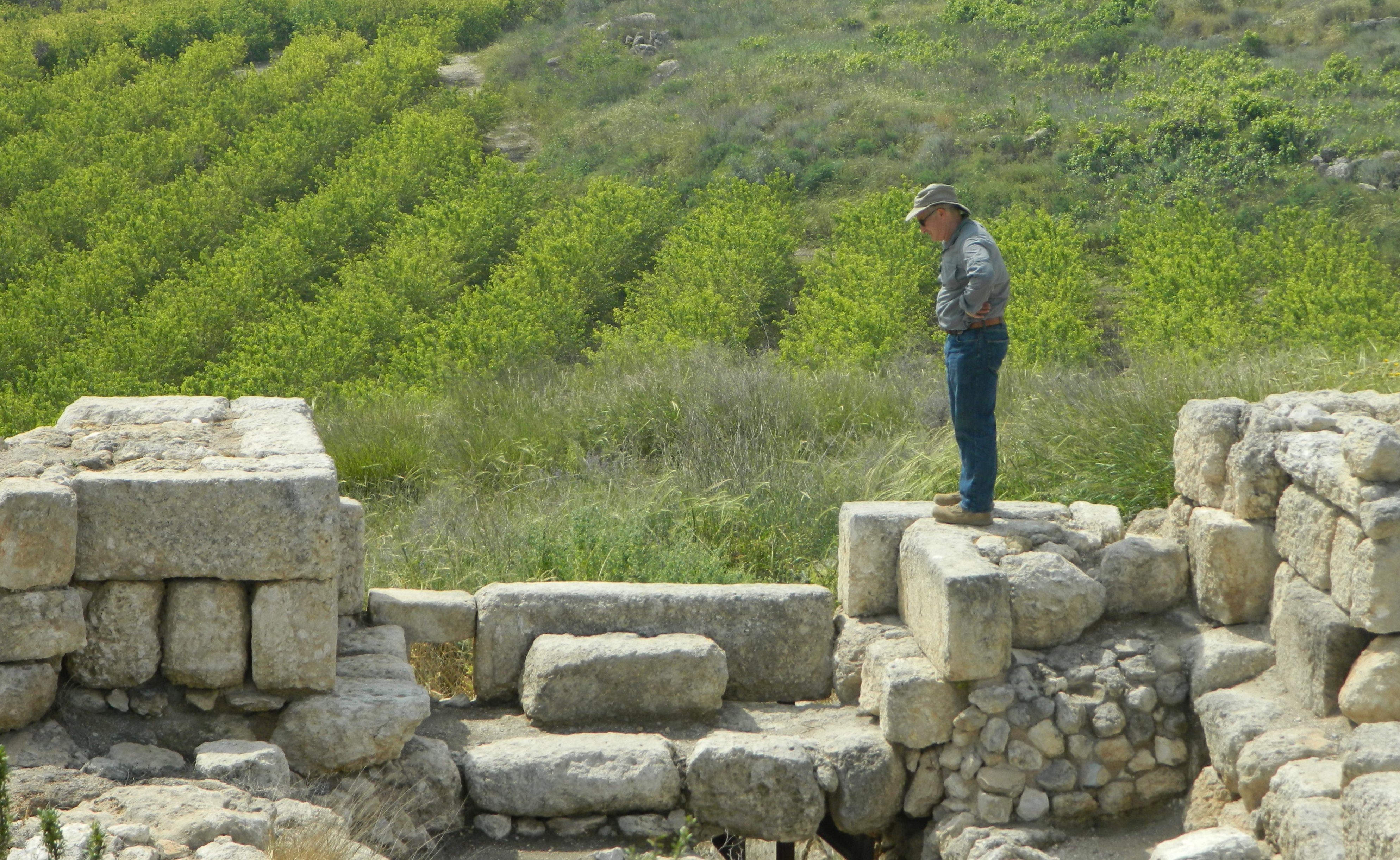
Prof Maeir standing at the gate
Feral pigeons adorned the insides of the tunnel, while jackdaws crowded about outside, watching us indifferently. We climbed back out of the cool tunnel, back into the sun, and made our way to the Canaanite city gate, made of stone and mud brick. A common kestrel made passes overhead, scanning the tall, dry vegetation for prey, and a crested lark could be seen singing from atop a sign.
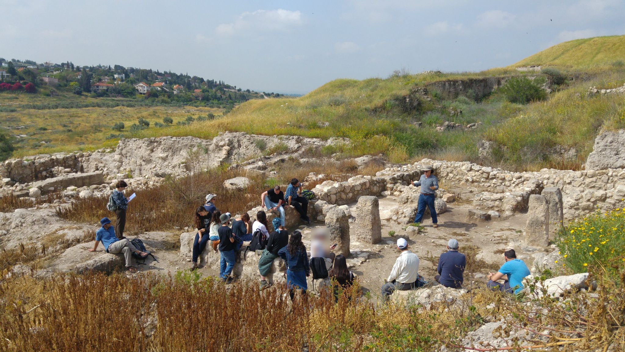
Lecturing within the ruins
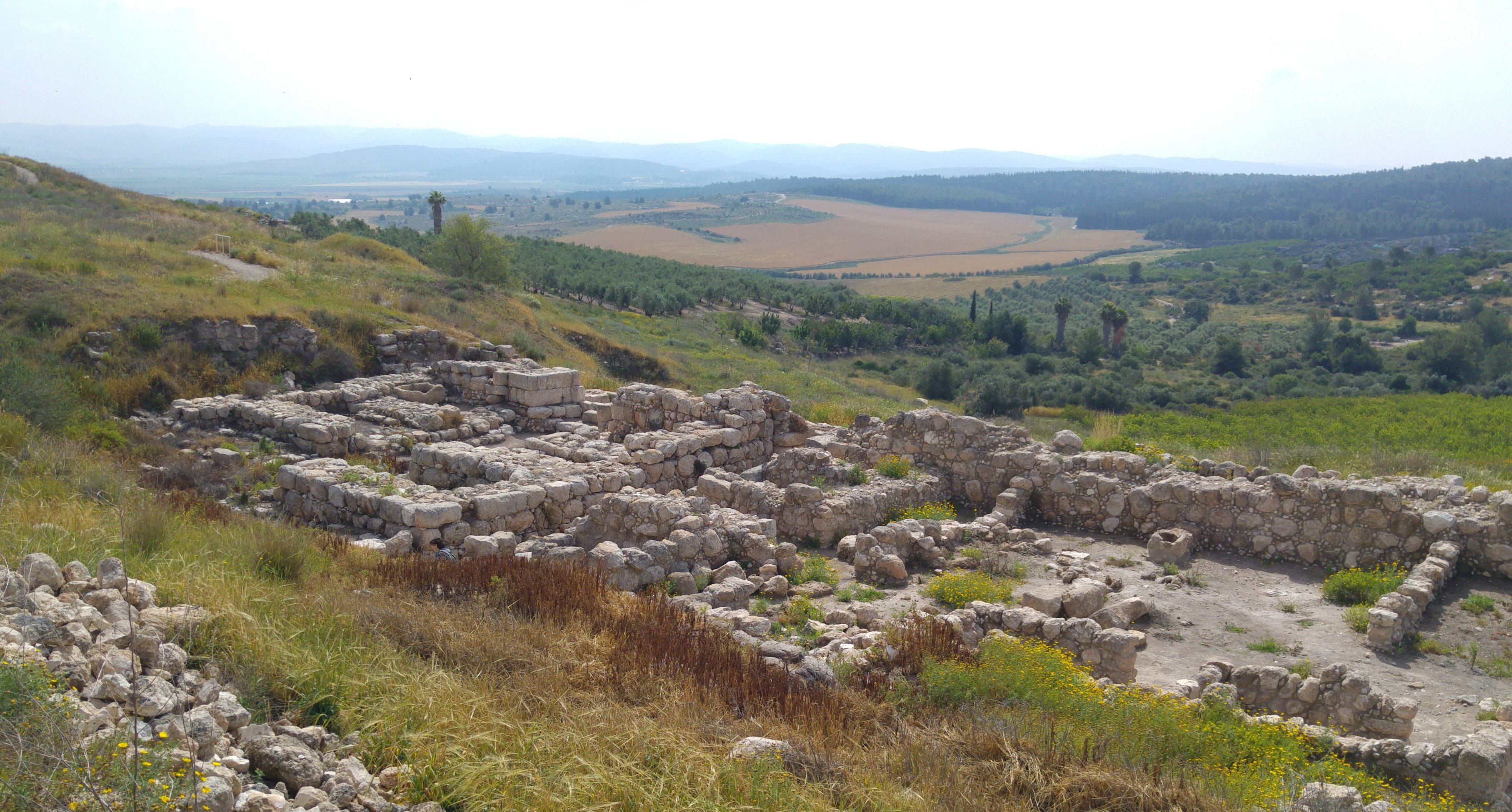
We continued along the dirt path until we reached the Israelite ruins, and the wildflowers that edged the walkway to it. A relatively large area to be excavated, the ruins clearly showed a residential area of the ancient Iron Age city. A large blue-purple wildflower captured my attention, later to be identified as Syrian catnip.
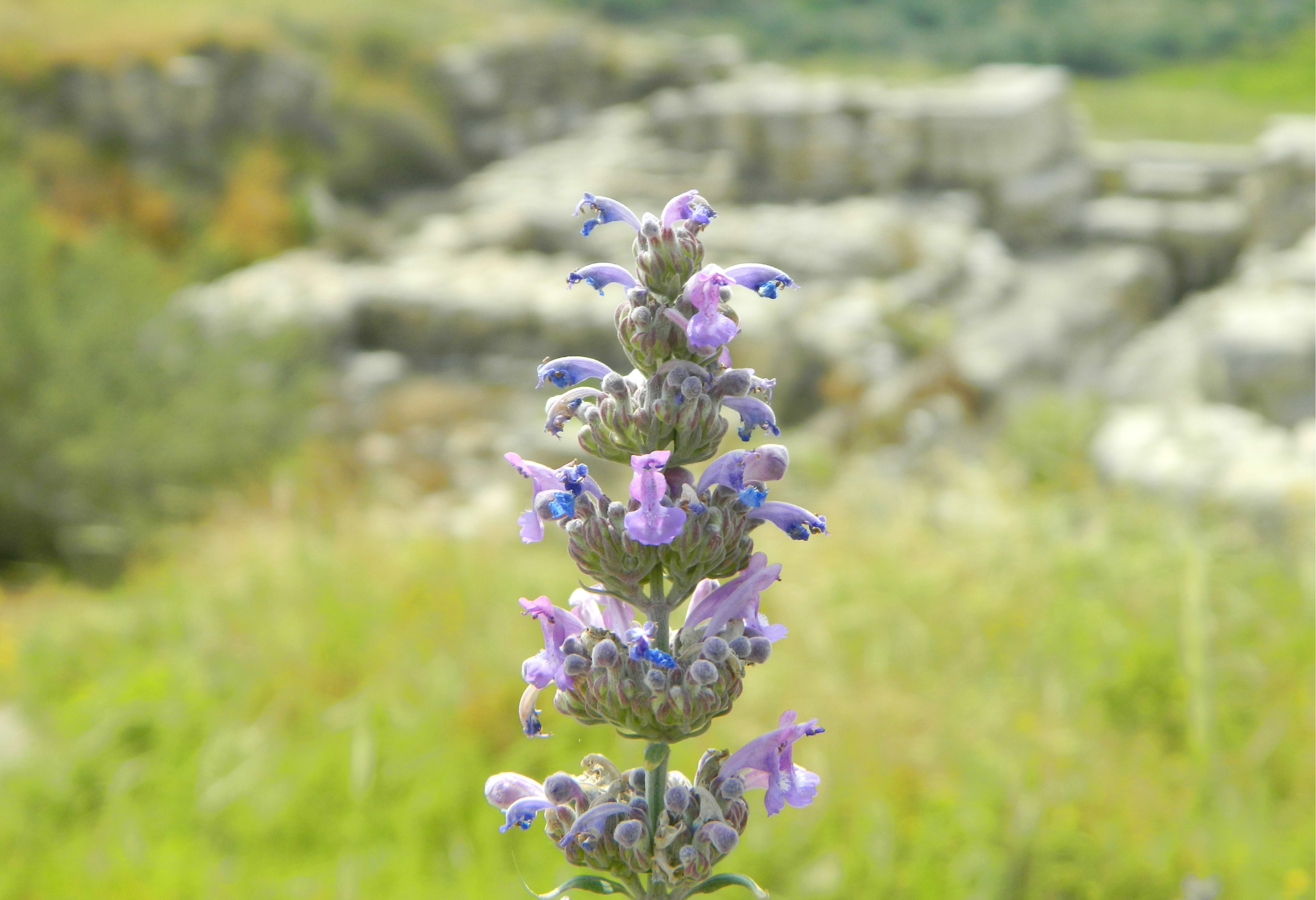
Syrian catnip at Tel Gezer
Prof Maeir lectured first from the vantage point looking over the ruins, and then we descended to see the ancient architecture from up close. Once below, we examined the gate of the casemate wall, comprised of a number of chambres. The gate is associated with the reign of King Solomon, following the biblical passage listing the fortifications at Hazor, Megiddo and Gezer.
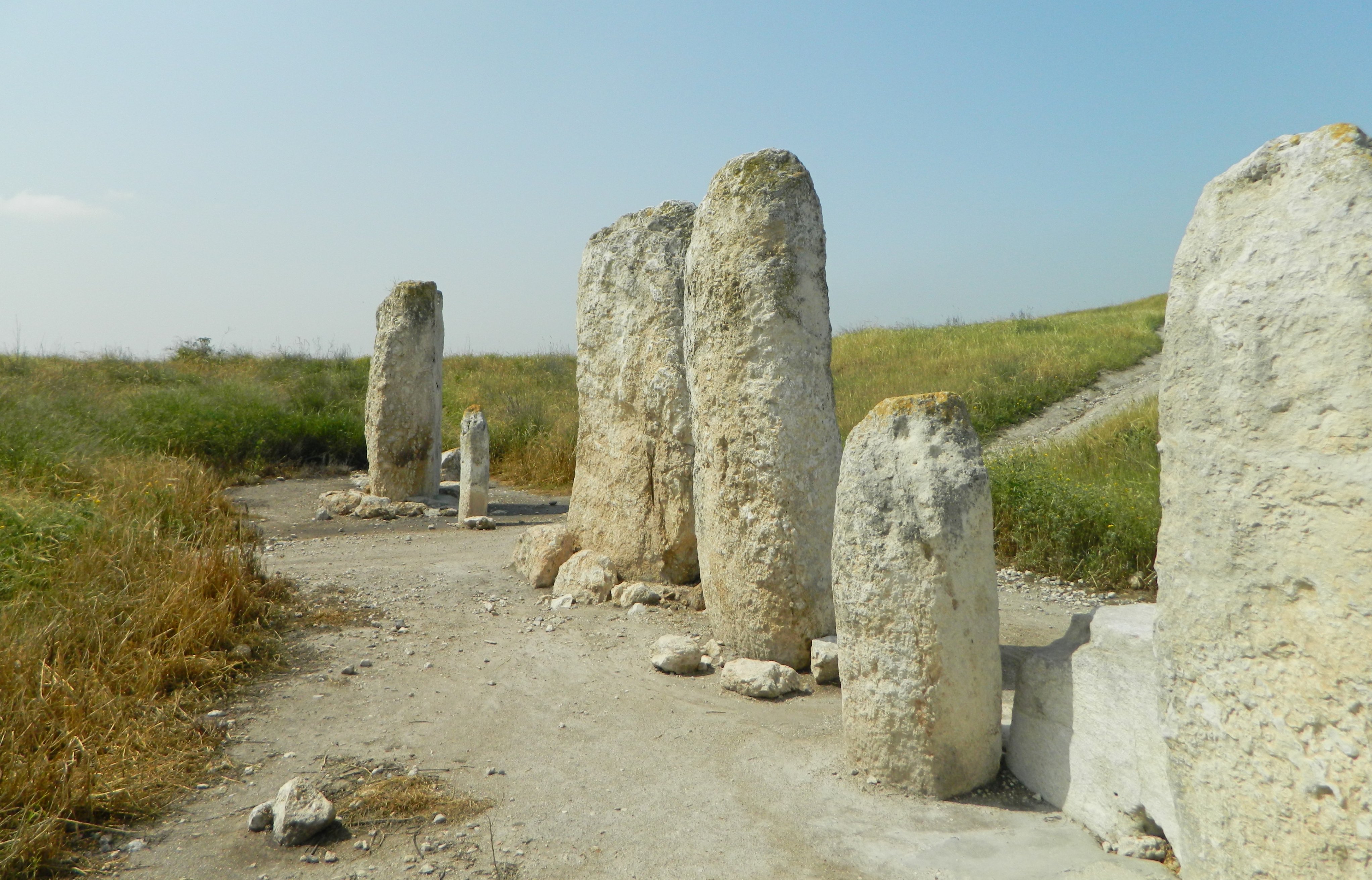
Monolithic stones
Looping around the east side of the tel, we made our way to the ten monolithic stones standing upright in a line. Large, raw columns, these stones seem to have served as features of a shrine, accompanied with a stone basin of sorts. Quite an unusual sight, which was improved by the presence of viper’s bugloss, one of my favourite wildflowers.
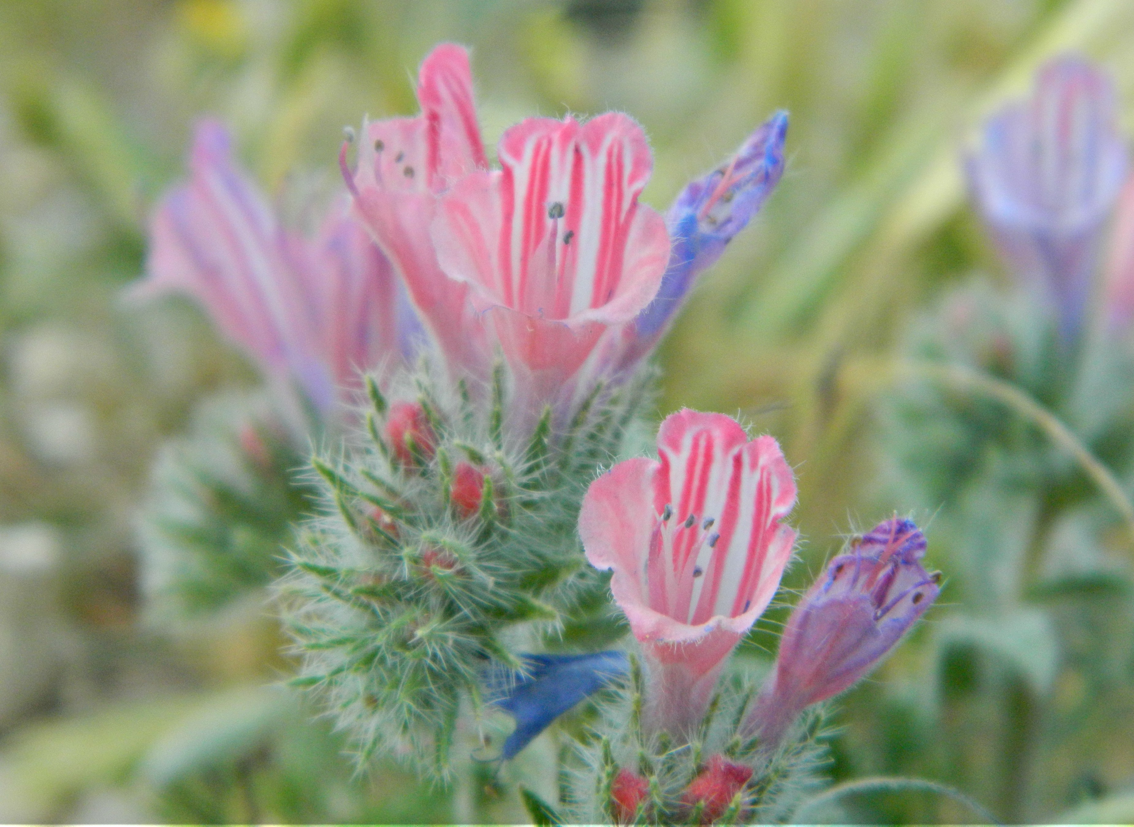
Judean viper’s-bugloss
From there we completed our circuit of the tel, passing a demarcated sheikh’s tomb, and then left the hill by means of our tour bus. Our next stop was some fifteen kilometres to the southeast, on land plotted out for one of Bet Shemesh’s planned neighbourhoods. A somewhat controversial topic with lovers of nature and archaeology, the city’s expansion plan calls for the work of salvage excavations by the hands of the Israel Antiquities Authority. It was one of these digs to which we were headed.
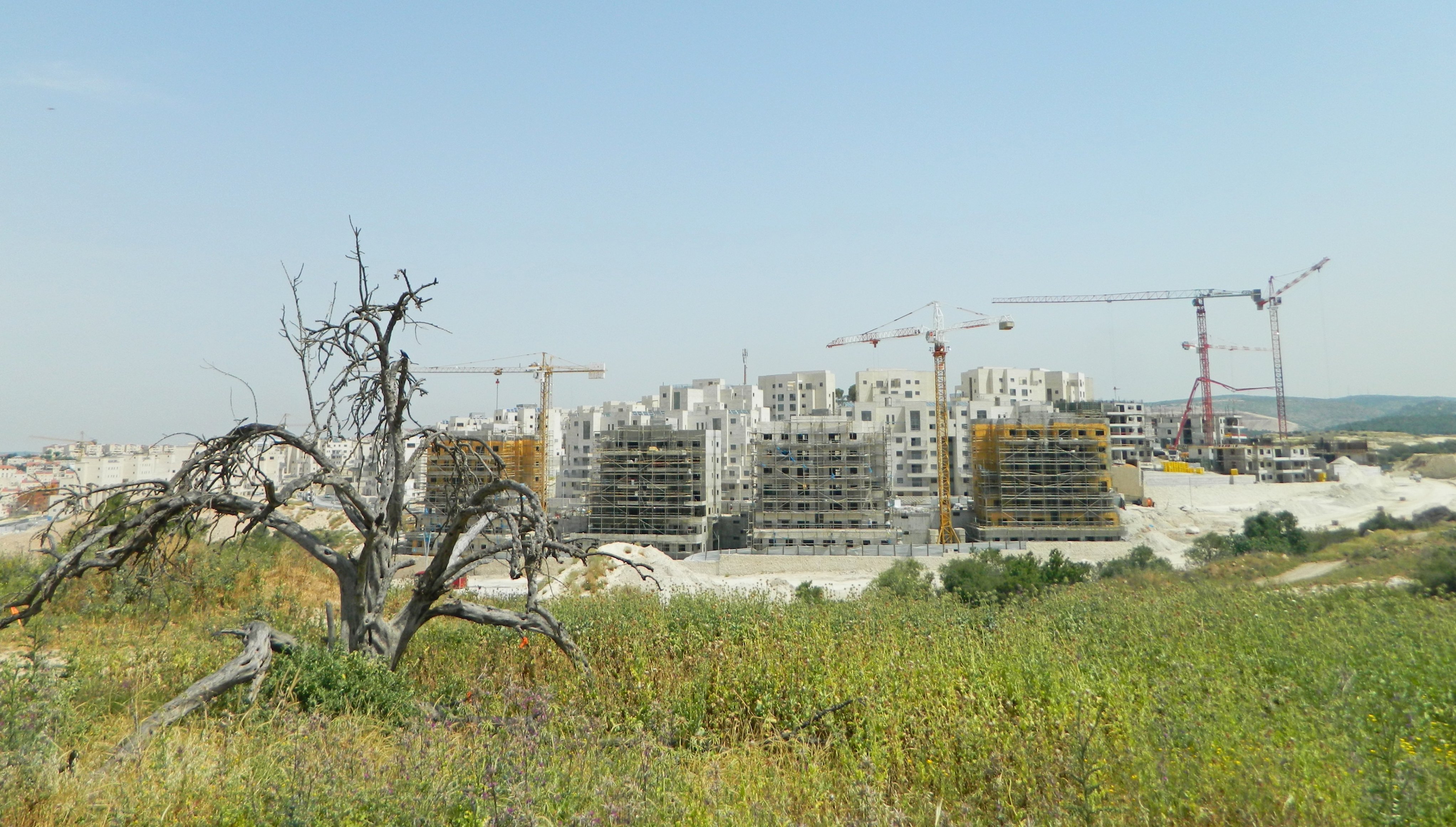
Encroaching buildings of Bet Shemesh
Lead by Benyamin Storchan, a BIU graduate with whom I shared a class or two, the salvage excavation was launched to verify that nothing landmark was going to be built over. We met Benyamin under the tarp beside the washed pottery and sat down to hear about the site. He began with a summary of the Bet Shemesh expansion, showing us our location on a detailed satellite image map.
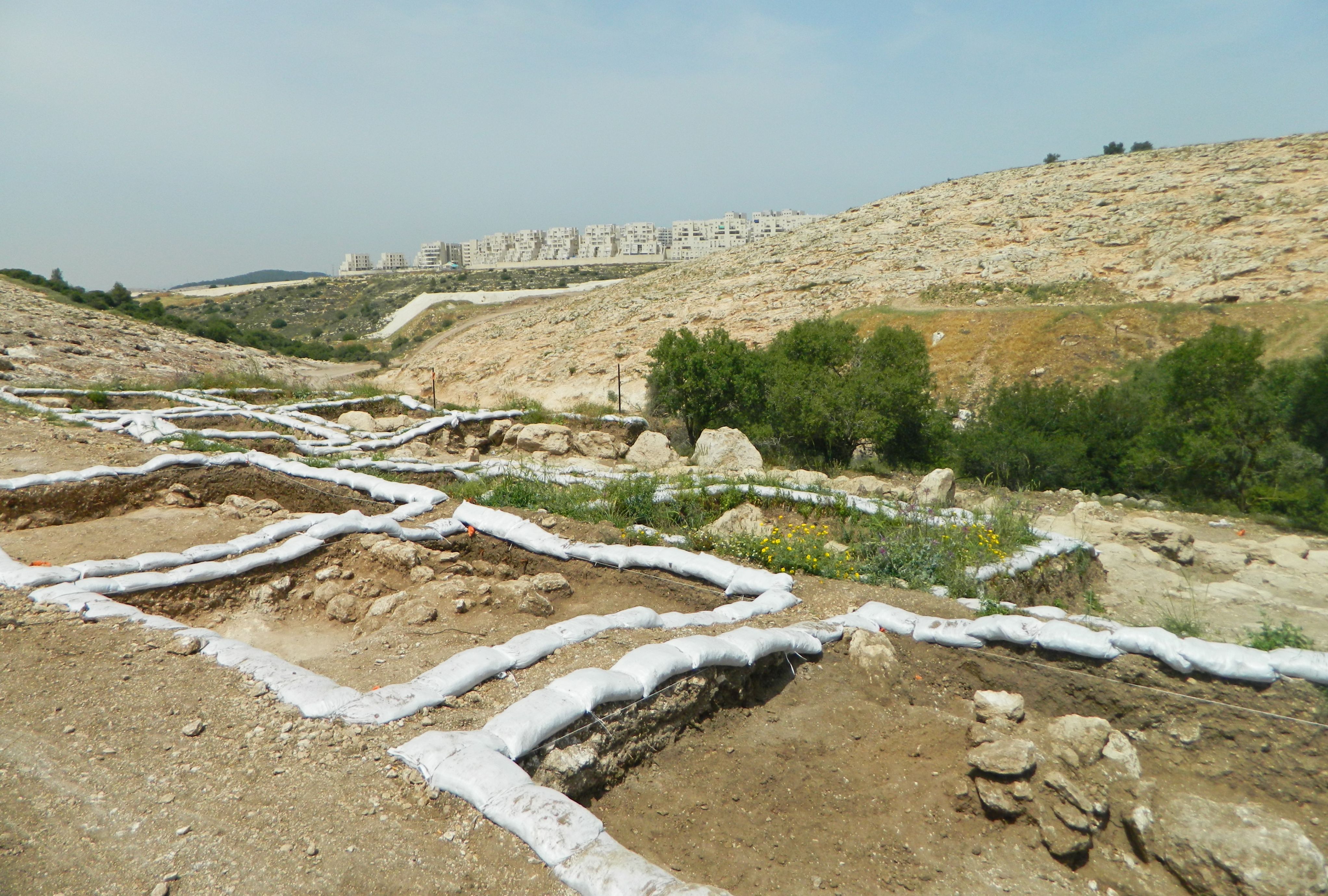
Ramat Bet Shemesh dig squares
After ten minutes or so we left the shade and headed over to examine the dig site. A tractor was working uphill and the dozen or so Arab workers paused to watch us parade by. We began with the lower section, where Benyamin produced a top plan and went over the architectural findings thus far. From there we moved uphill and examined the area currently under excavation.
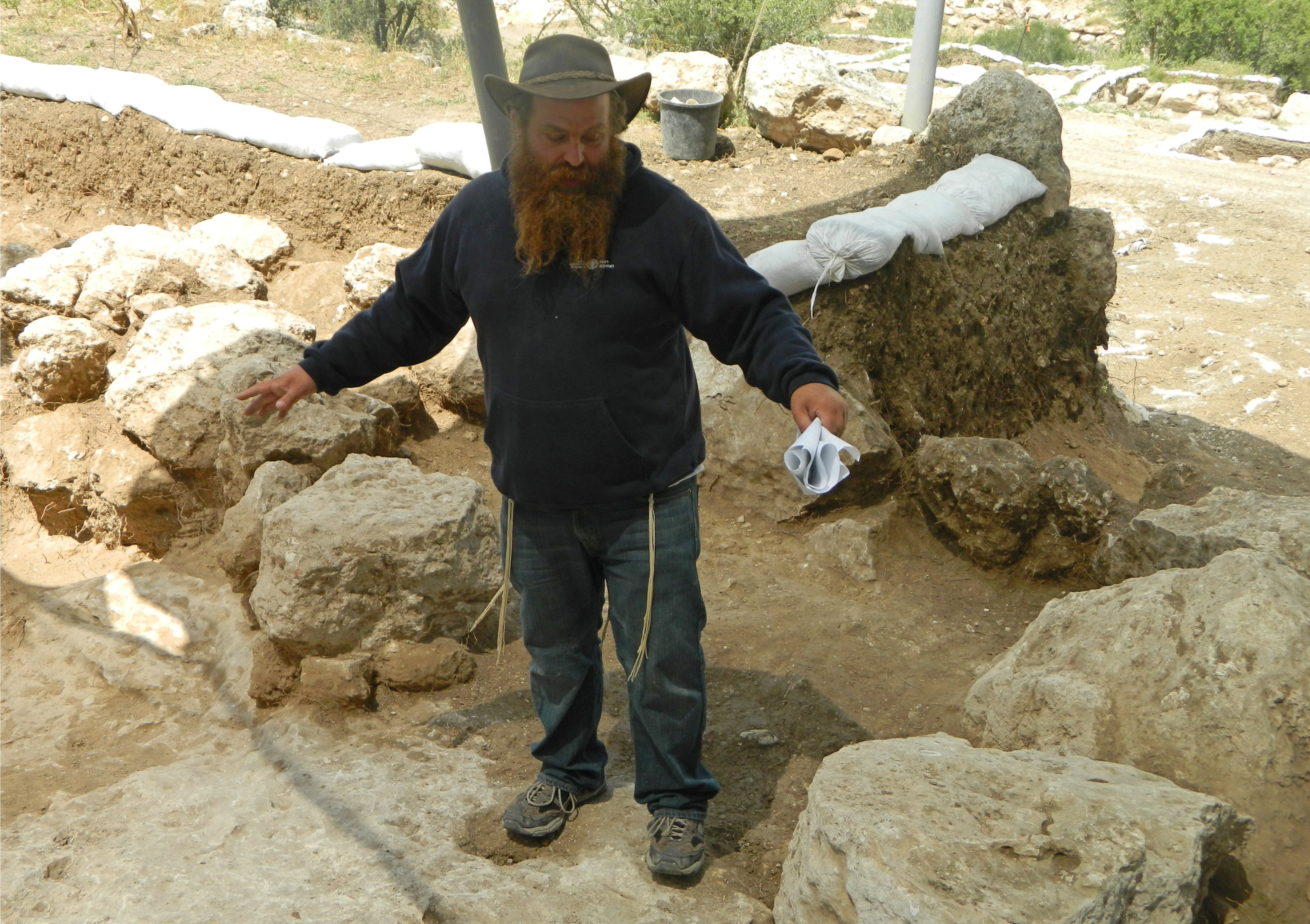
Benyamin Storchan explaining the architecture
We naturally had some questions about the interesting dig, and hopefully one day the entirety of the excavation results will be published for all of us to enjoy. In the meantime, we headed back down the slope towards the pottery washing station where we examined the findings, including simple mosaic stones, painted potsherds and even a section of what looks to be the neck of a jug with a branch relief.
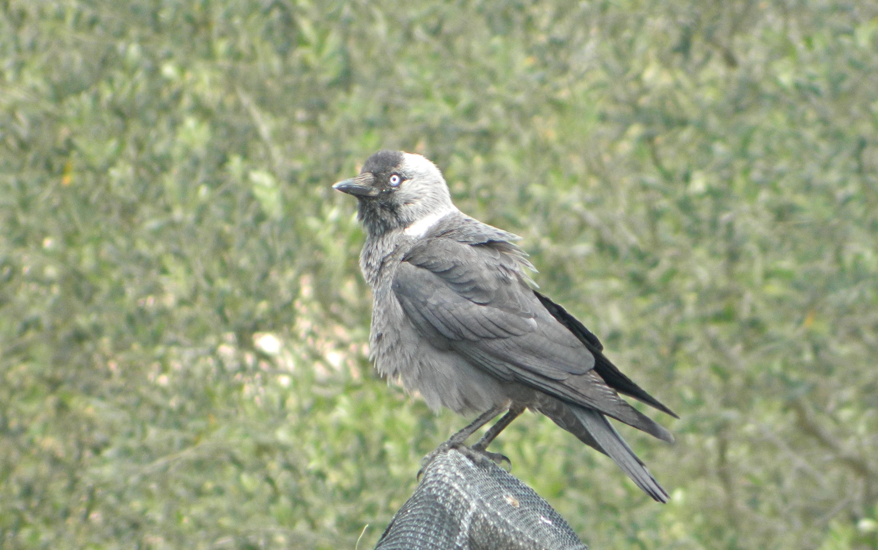
Jackdaw at the dig
Leaving the dig site having said our thanks and goodbyes, we boarded the tour bus again for a drive over to Tel Azeka. Since I’ve already visited and wrote about Tel Azeka last year, I’ll just give a brief summary of what non-archaeological sightings that were of interest. First, the birds: one or more black kites, steppe buzzards and lesser spotted eagles (and a possible juvenile imperial eagle) flew by overhead, giving me a special joy that comes with neck pain, as I had to crane my neck precariously to watch them high up above me. Several species of butterflies fluttered about here and there, and Judean viper’s-bugloss made a lovely appearance on the top of the tel.
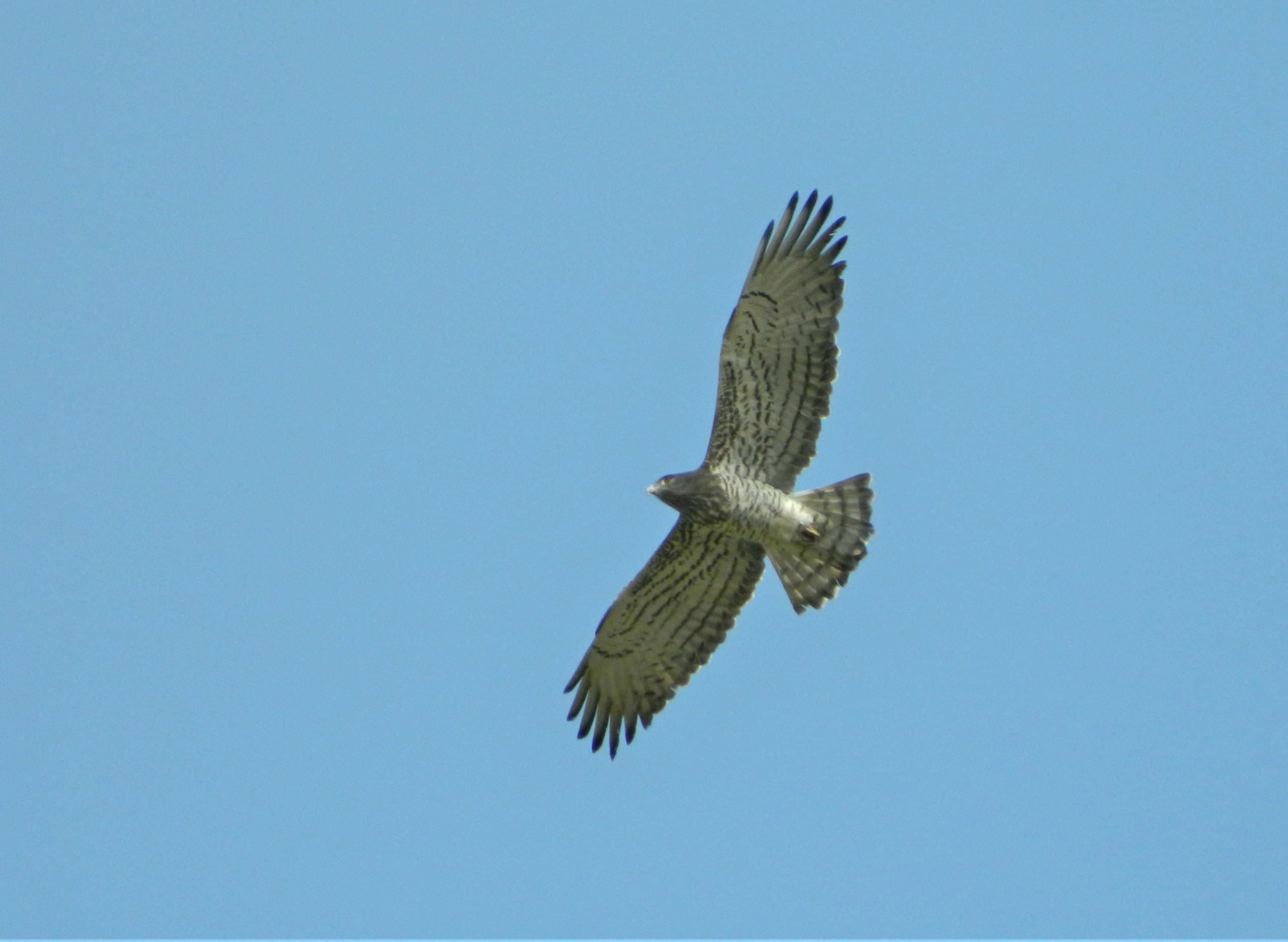
Short-toed eagle
Leaving Tel Azeka after two hours, we attempted to visit the iconic Khirbet Qeiyafa, which I have covered more than once, but unfortunately our bus got slightly stuck in the ruts of the dirt access road. While we waited outside for the bus and driver to sort themselves out, a short-toed eagle appeared just above the trees that were beside us. I think this is my best picture of this species to date. The bus issue was sorted but time had run out, so the trip was called to a premature ending. We enjoyed the drive back to Bar Ilan, some of us already looking forward to the following day’s field trip to the northwest Negev region, the subject of my next blog post.
A video of this trip, which I made for the department’s YouTube channel, can be found HERE.

Excellent observation. This prompts a question. If one was to lie down motionless in the open space, camera in hand, would that attract birds of prey or scavengers for an easy photo op?
I don’t believe that laying motionless would help per se, as most birds of prey aren’t afraid to be relatively close to humans but an easier way to get close is so bait them with a carcass (which is what some photographers do) and then lie in a hidden place until the birds of prey and other scavengers arrive.
[…] day following our trip to Tel Gezer and other sites, we took another Bar Ilan University field trip, this time to the northwest Negev […]