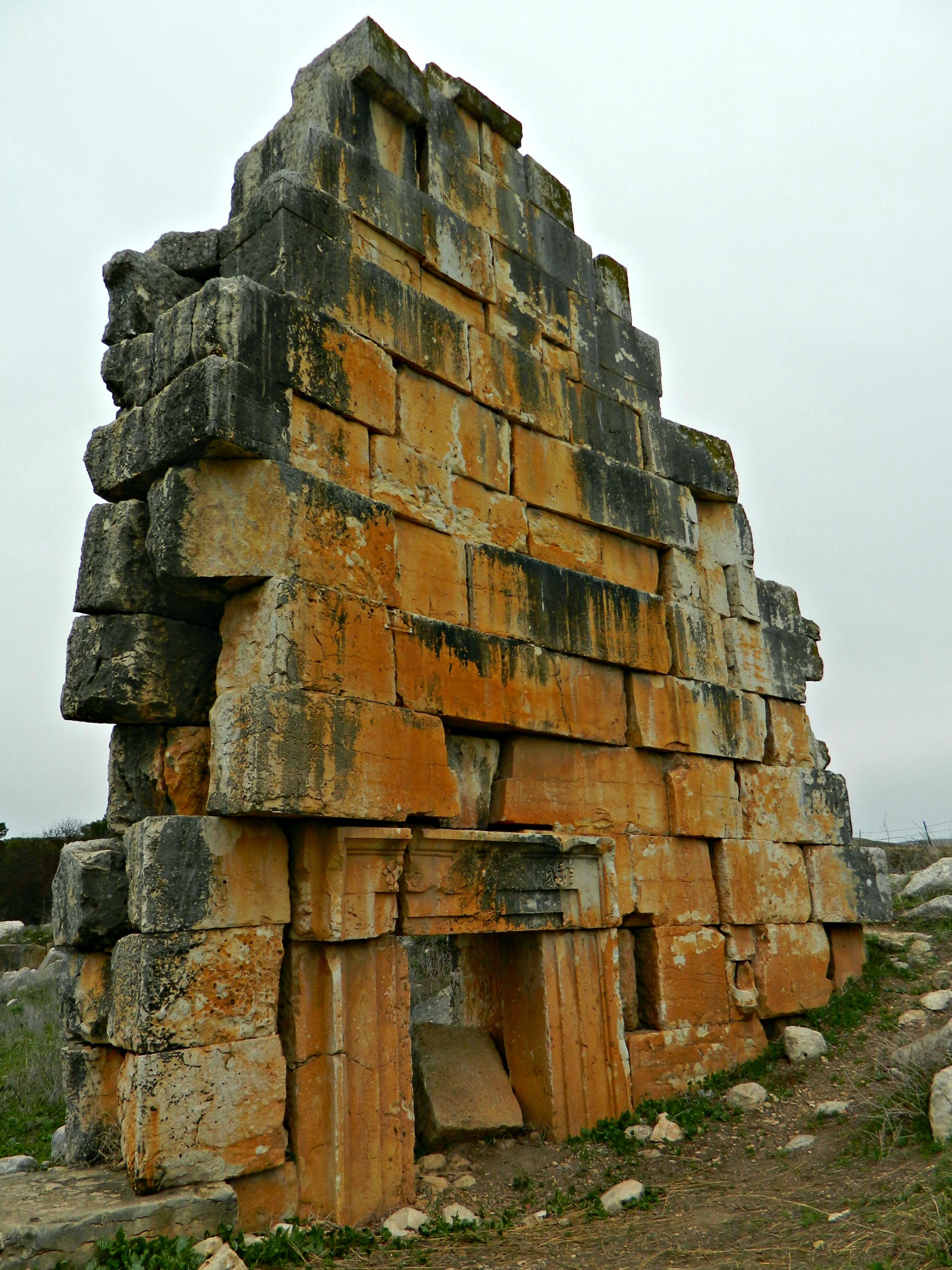
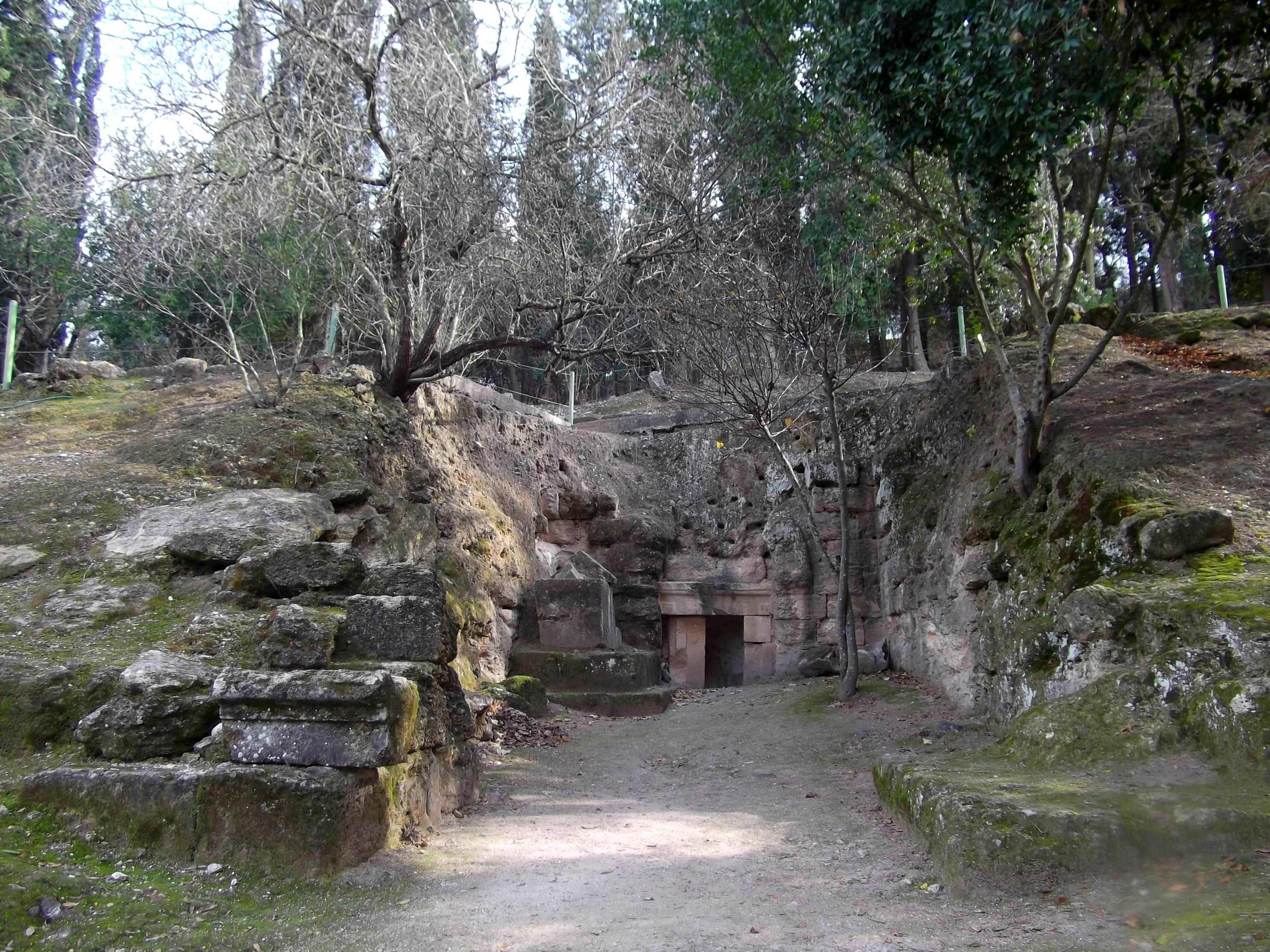
After leaving the Manara Cliff we headed just a tad further north, still along the top of the mountain ridge, to the outskirts of Moshav Margaliot where ruins of a Crusader castle are to be found. Called Hunin Fortress today, the small castle was built just after the success of the First Crusade during the years 1106-1107. Then, the castle was referred to as Château Neuf (in French) or Castellum Novum (in Latin).

Southern face of the Hunin Fortress
Lately I’ve been reading a lot about the Crusades, particularly their presence here in the Holy Land, after purchasing the phenomenally written book “The Crusades” by Thomas Asbridge. Unfortunately, even after reading about Château Neuf in the book, I didn’t realise that the Hunin Fortress was, in fact, the same castle. Regardless, this book has really fanned the flames of my interests in history – so much so that I’ve been planning trips to the numerous Crusader ruins yet unseen by my two eyes such as Le Destroit, Belvoir and Château Pèlerin.
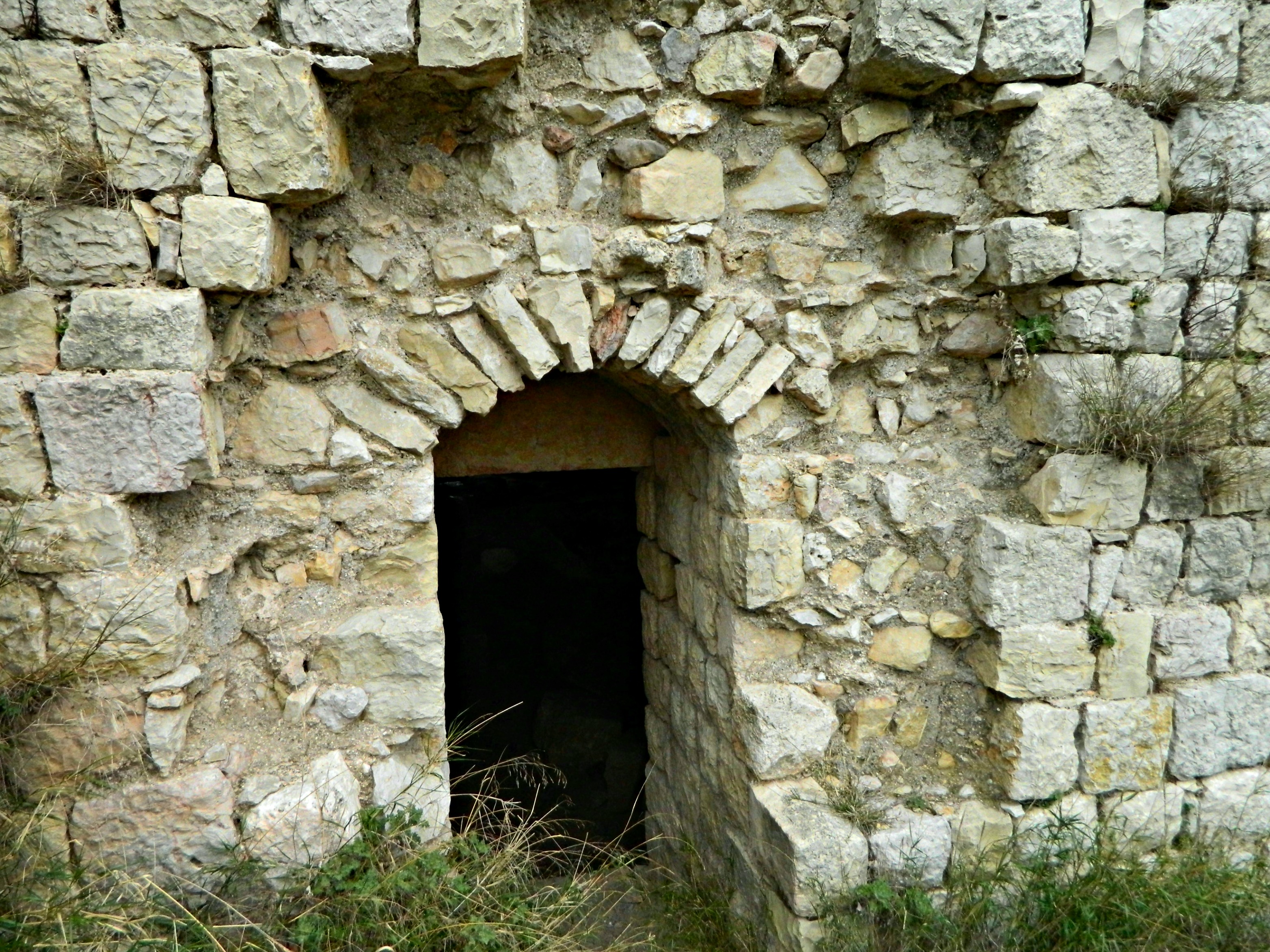
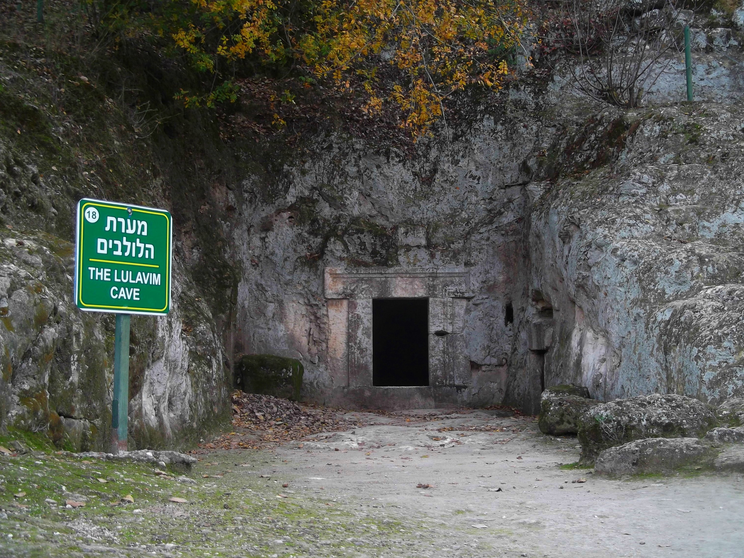
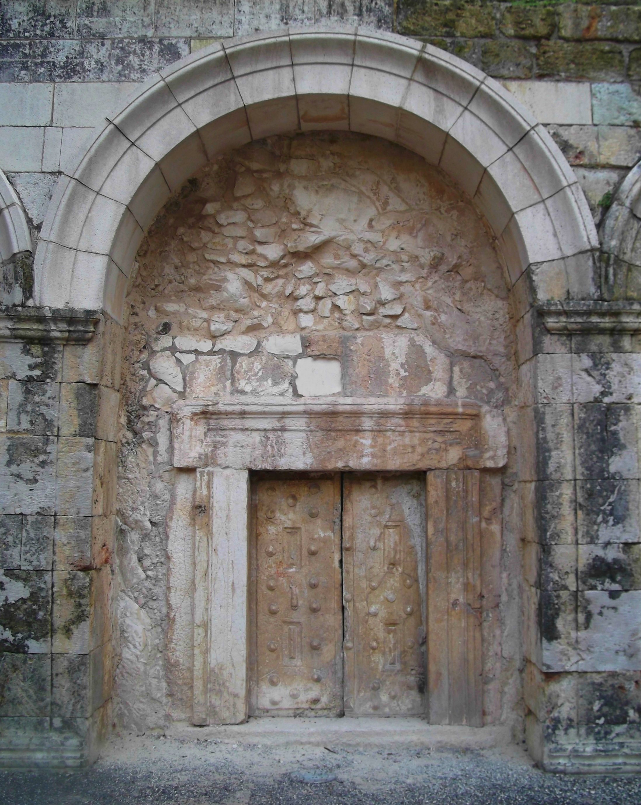
Side entrance
We pulled over at the side of the road and walked right up to the castle, entering via the small side entrance above. Smaller than the castles at Montfort and Yehiam, the structure is in relatively good shape, despite having a traditional history of being conquered and reconquered with sporadic bouts of destruction. The Ayyubid sultan Saladin, the great arch-enemy of the Crusaders, may have made the most headlines in his dismantling of the Latin Christian kingdom but it was his predecessor, Nur al-Din, who actually conquered and destroyed the Hunin Fortress back in 1167. The Crusaders painstakingly rebuilt the castle in 1178 in fear of Saladin who was bent on the ruination of the Crusader Kingdom of Jerusalem but, alas, Saladin ended up conquering and then destroying the castle in the years 1187 and 1218, respectively. In that same year of 1187, Saladin essentially recaptured the Holy Land from the Crusaders after a resounding victory over King Guy of Lusignan and the Kingdom of Jerusalem (as well as several Military Orders of Knights such as the Templars and the Hospitallers) in the decisive Battle of Hattin which actually took place near Mount Arbel. Here is a modern painting by Syrian artist Said Tahsine (1954) depicting the capitulation of the Kingdom of Jerusalem after the battle, a day which eventually led to the capture of the Hunin Fortress:
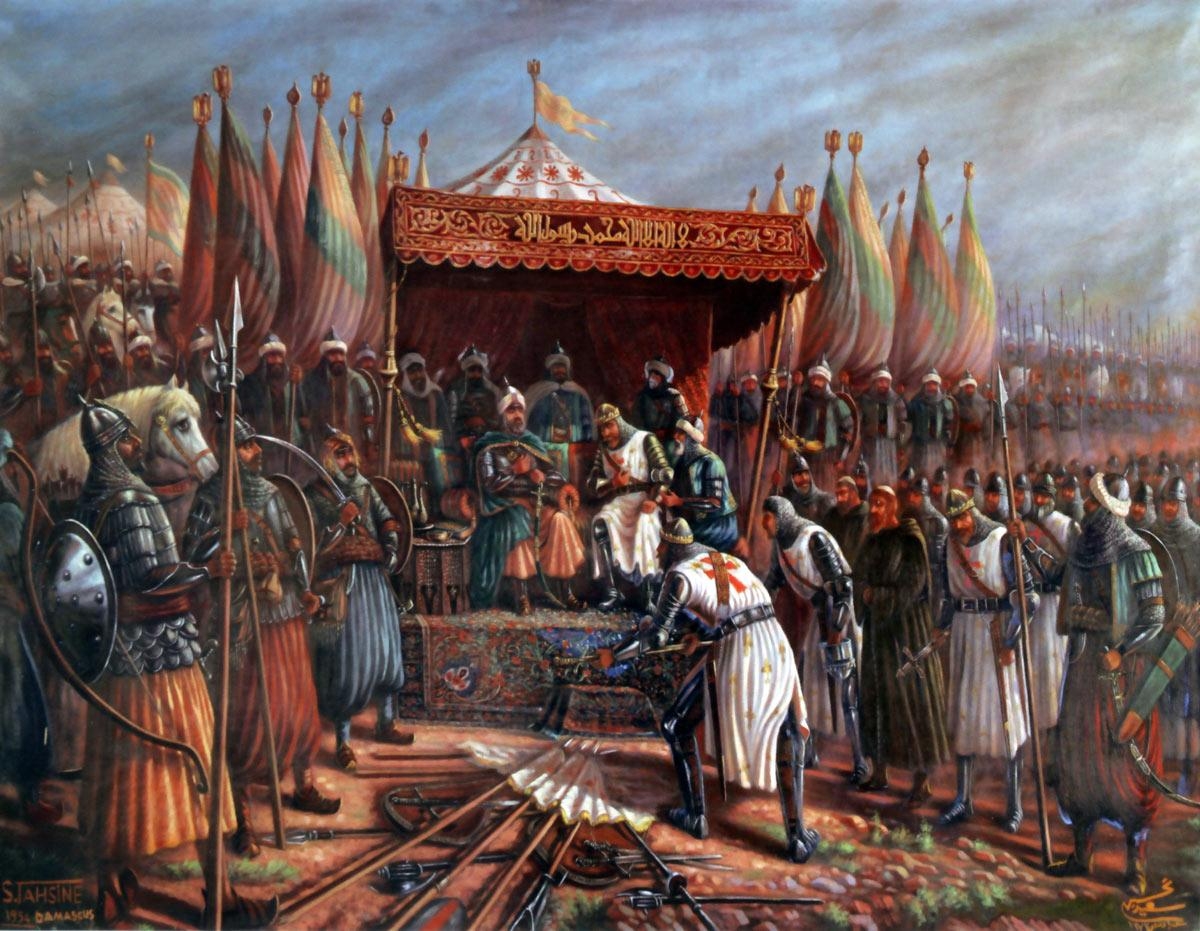
King Guy surrendering to Saladin
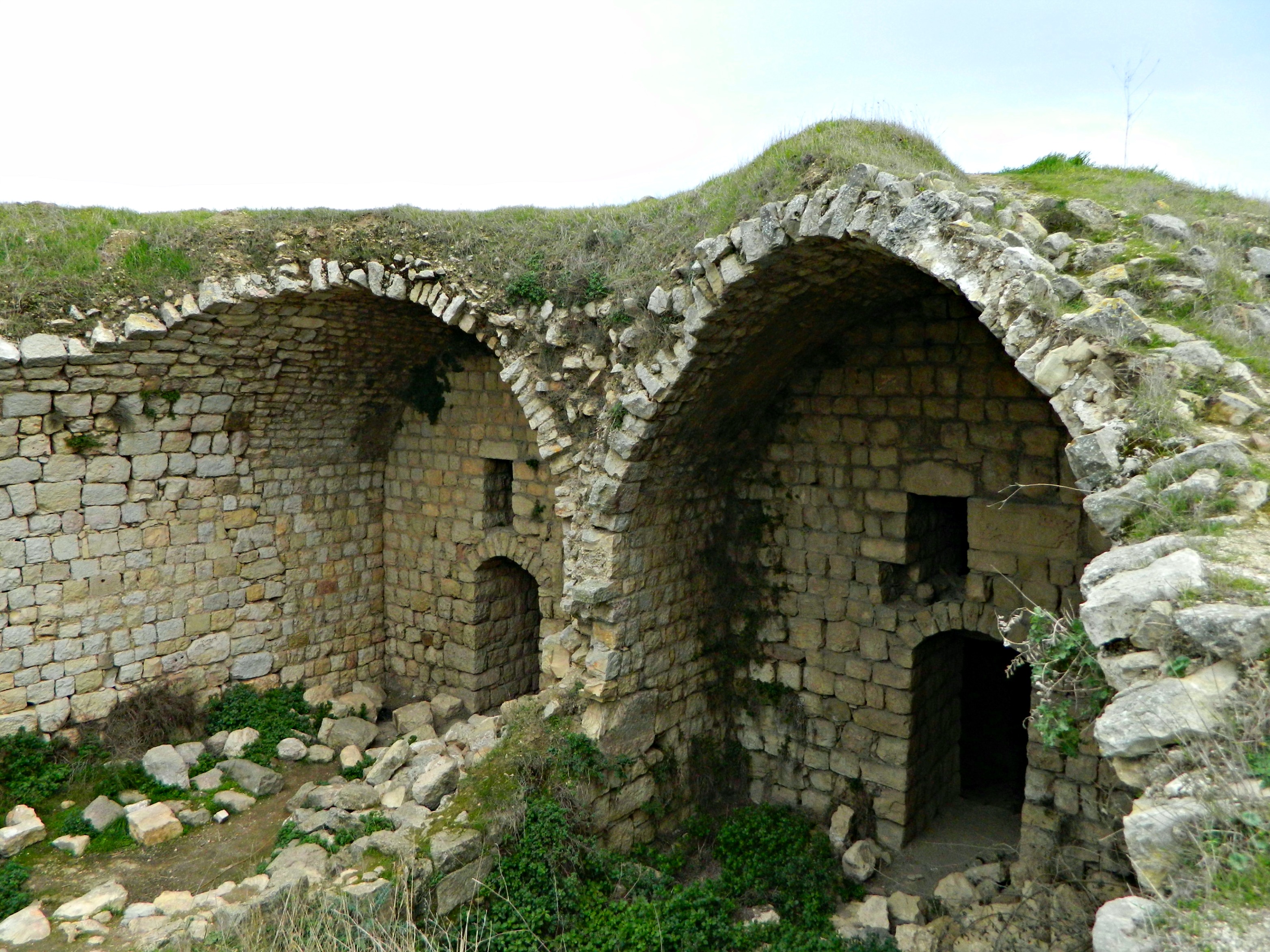
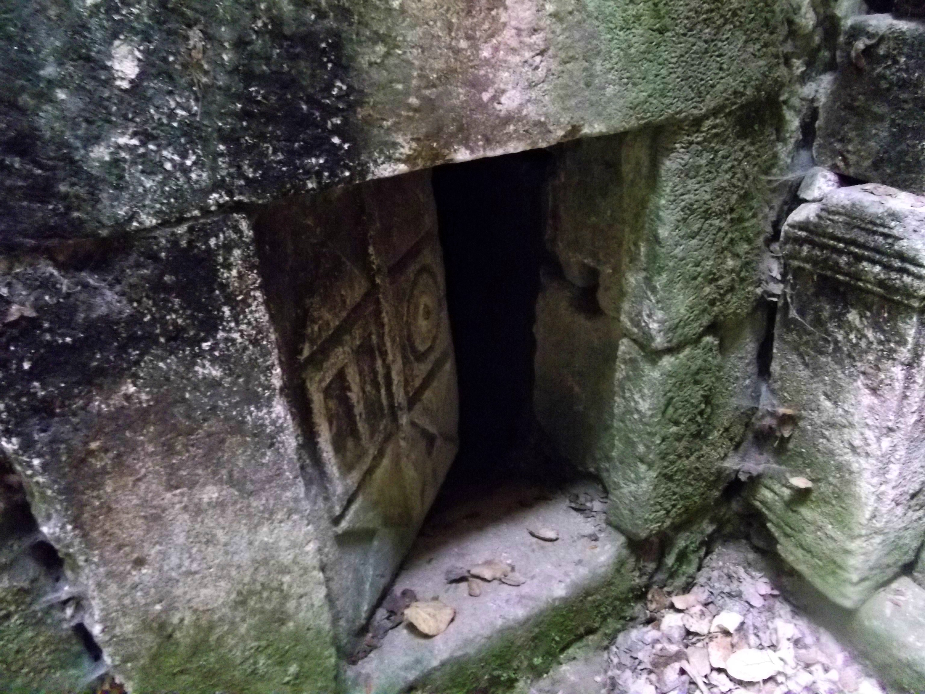
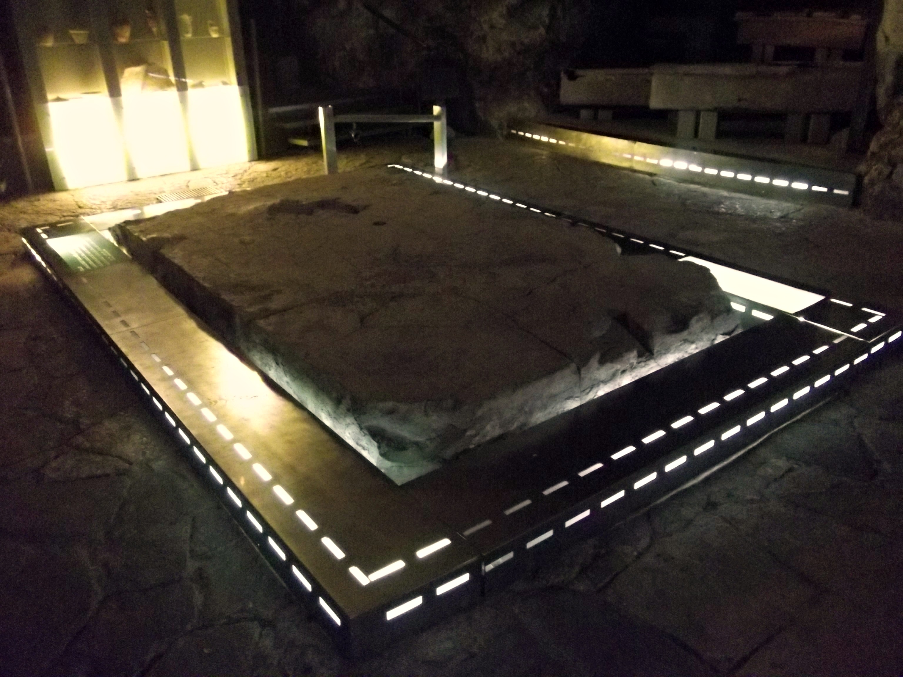
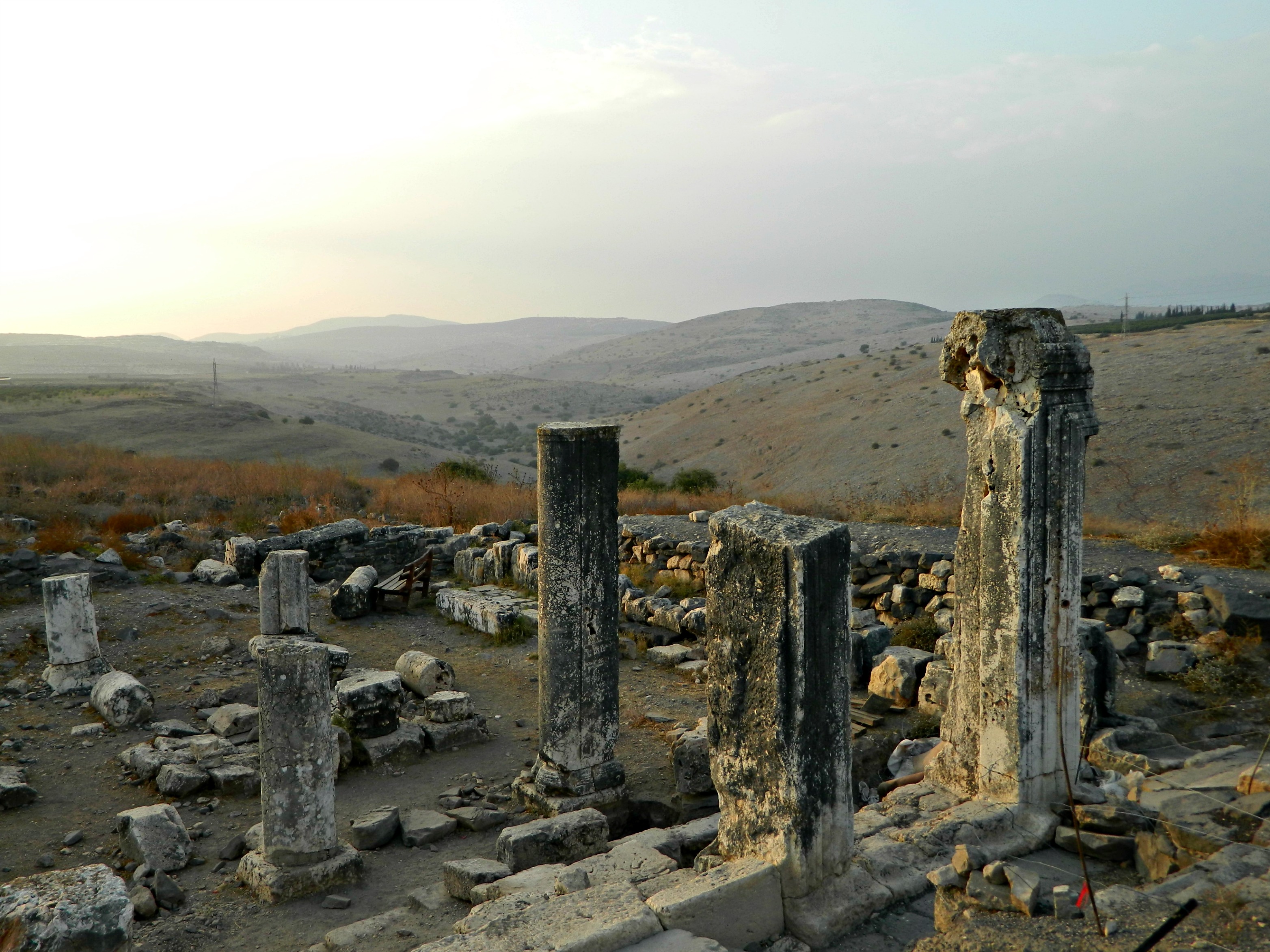
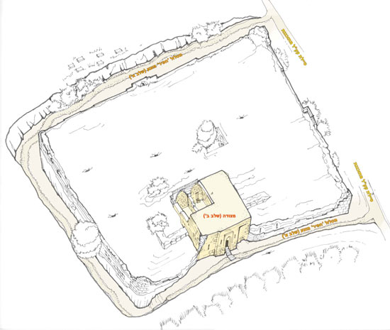
Using the Israel Antiquities Authority’s webpage (and this image within) about the site’s preservation operation, I am able to learn the identities of the unmarked ruins which we explored. The standing remains are the main vaulted structure and the surrounding wall ruins, including a dry moat dug into the rock-bed – which is now largely filled in with vegetation including fig and pistachio trees. The rest of the castle is lost to the ravages of war and destruction but here is the interior of the main room, called the Gates Structure:

The Gates Structure
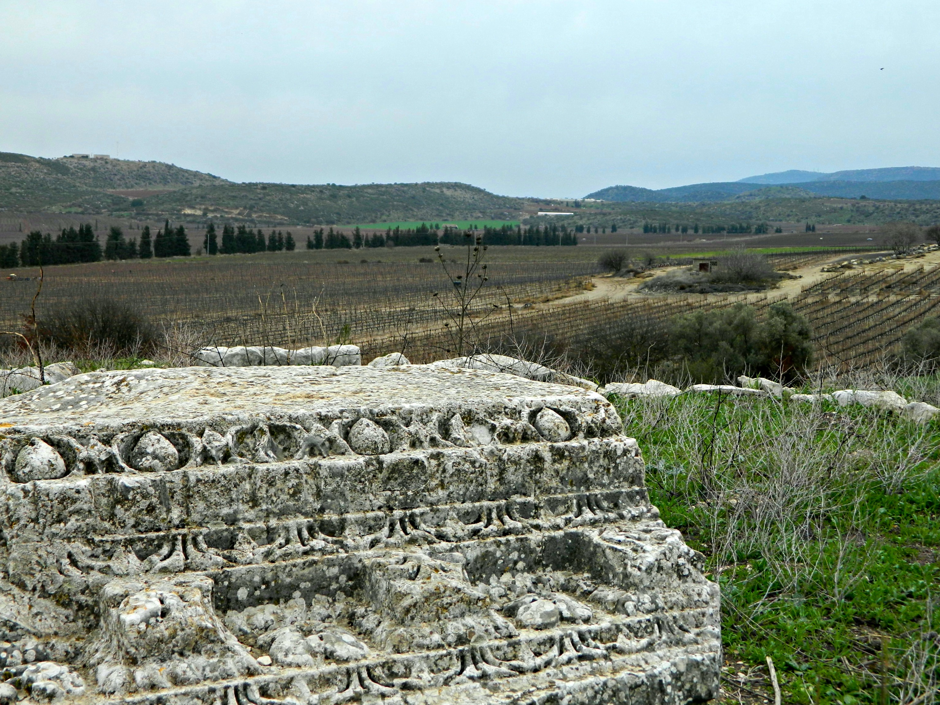
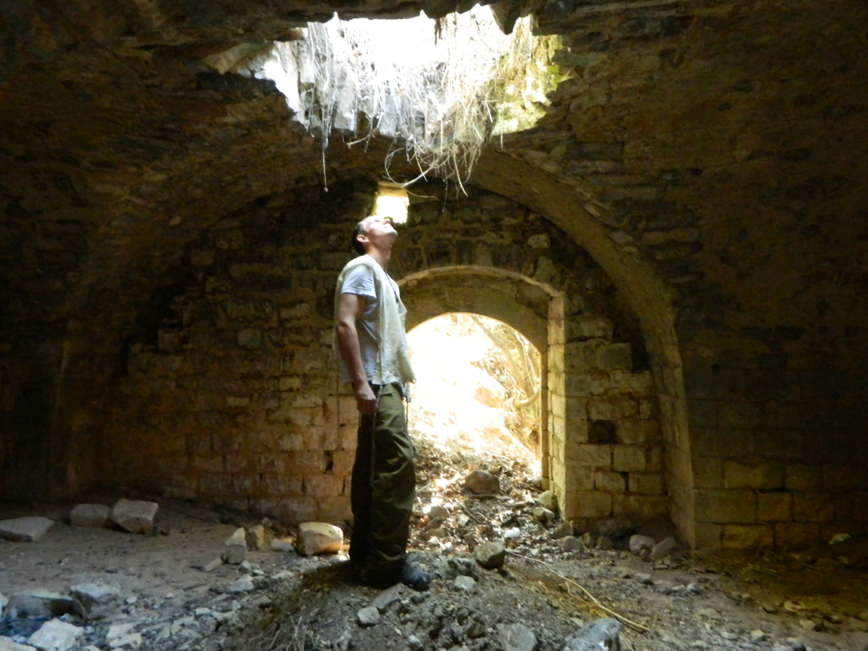
From there, along its northern wall, three halls can be seen – called the Eastern, Central and Western Halls. This is the Eastern Hall, the only one with the vaulted ceiling still intact:

The Eastern Hall
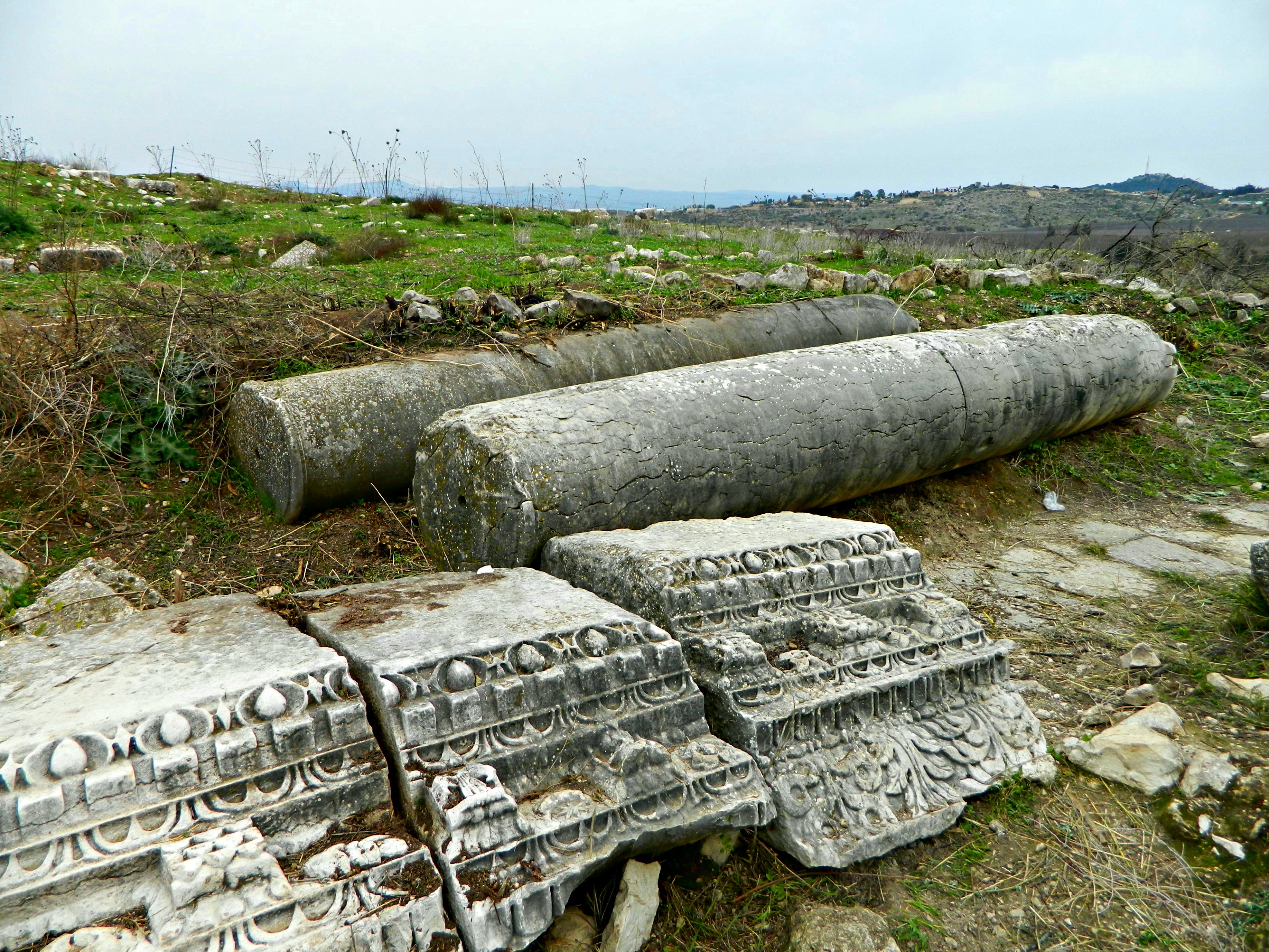
And here are the Central and Western Halls, the ceilings caved in and the ground littered with fallen masonry:
The collapsed Central and Western Halls
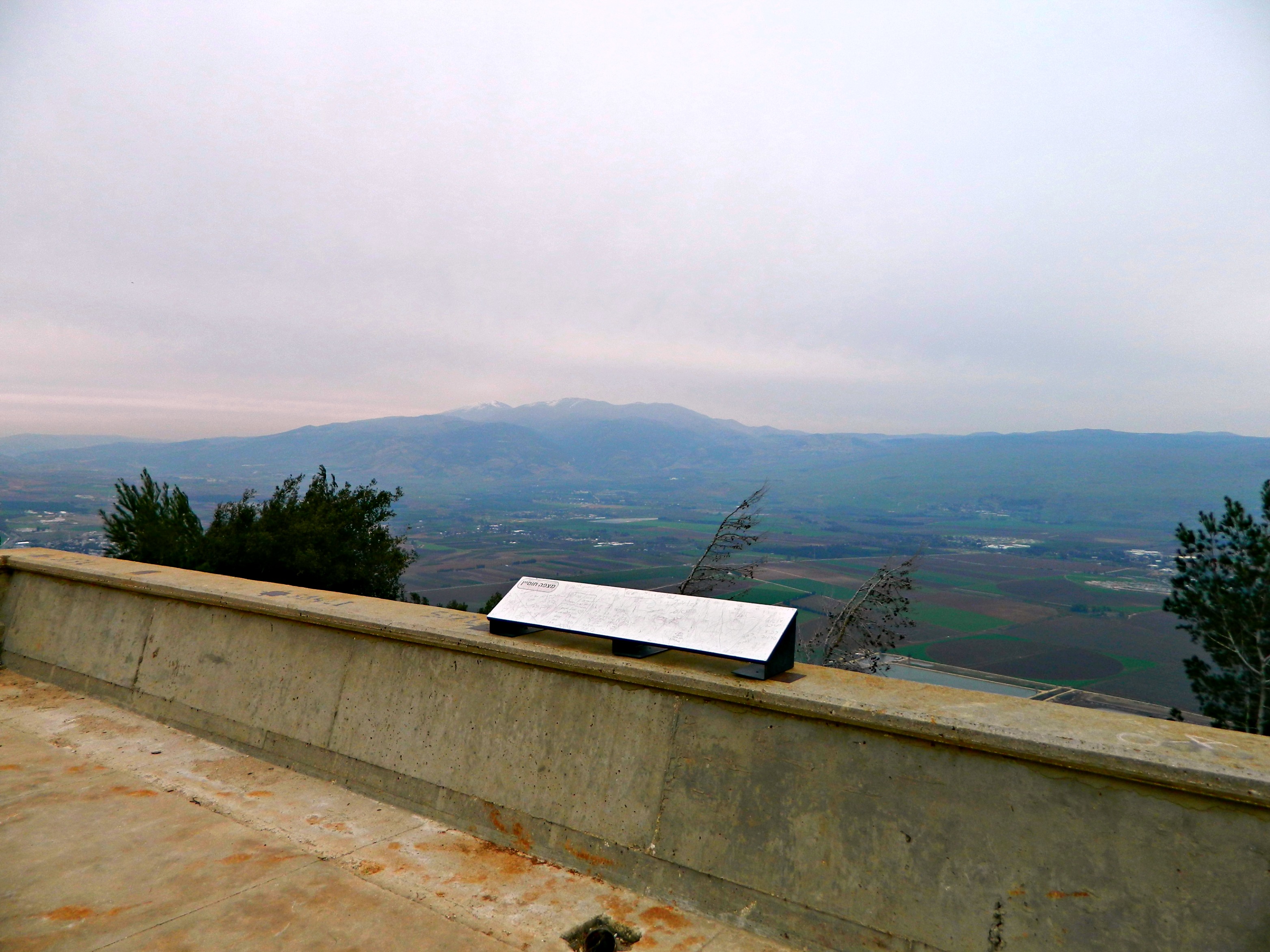
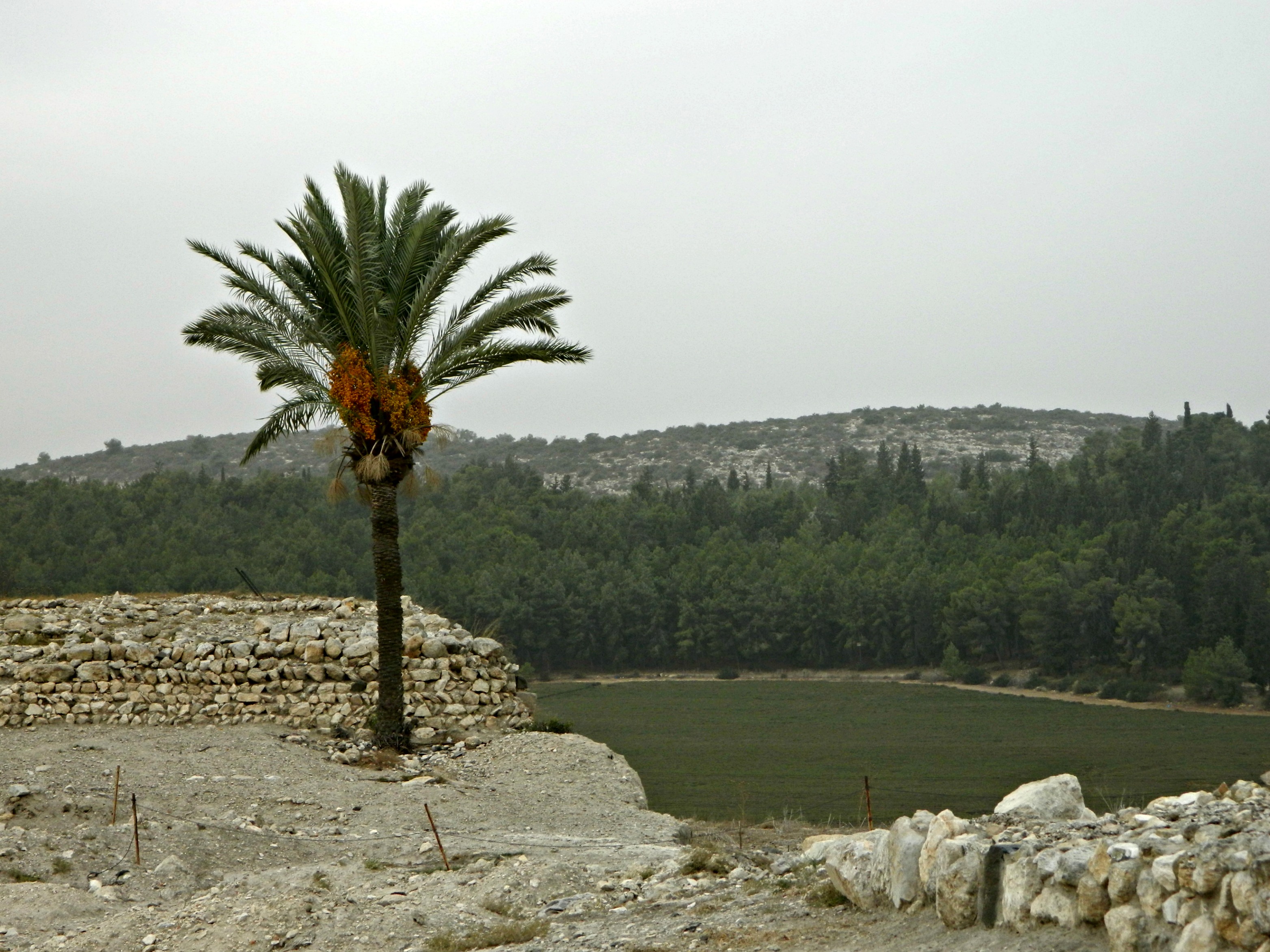
Outside, after leaving the main structure, I climbed up on the grassy roof and looked out towards Mount Hermon – seeing the IDF outpost Mitzpe Adi on the neighbouring hill and the remains of a wall just below:
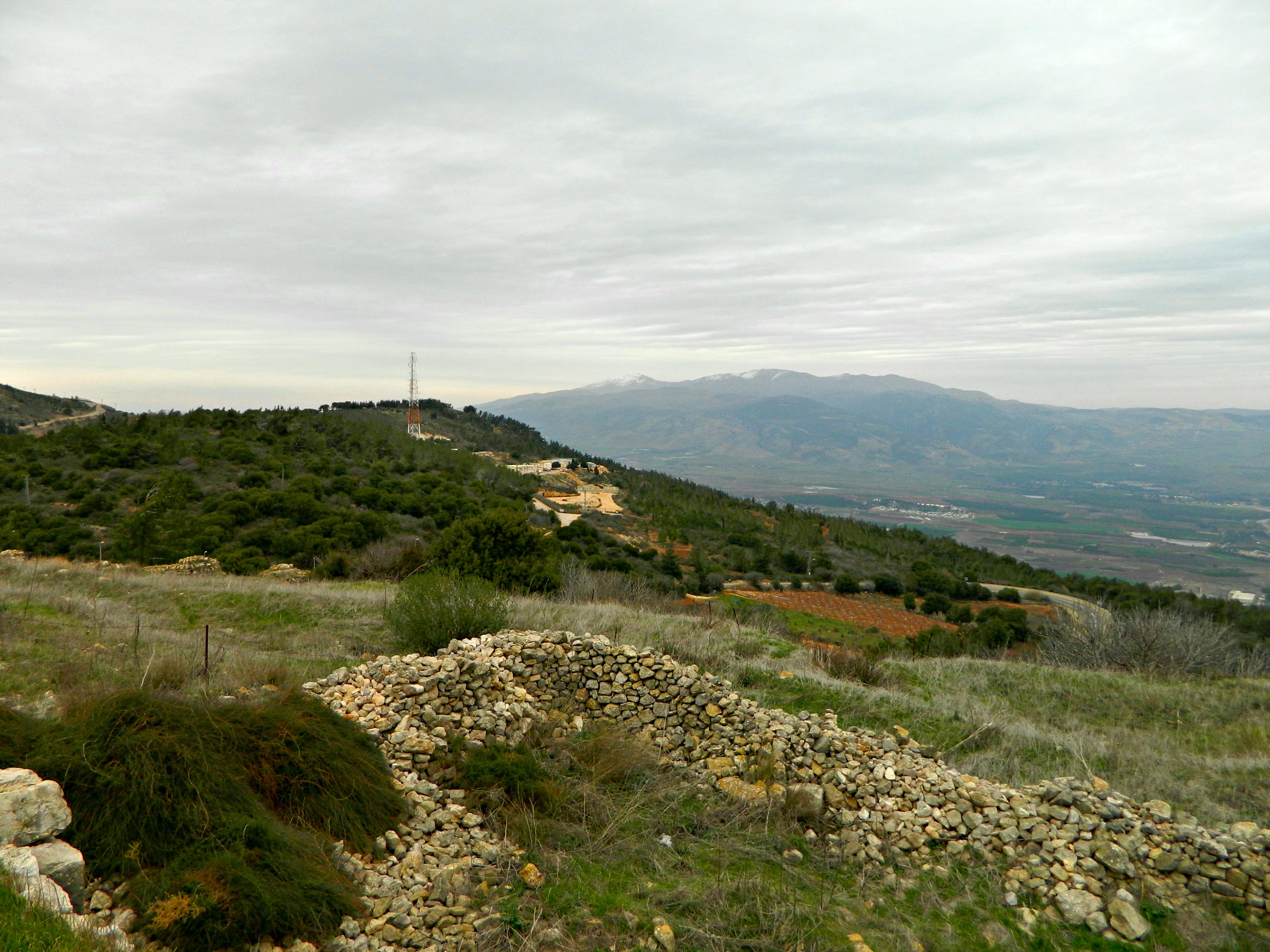
Wall ruins, Mitzpe Adi and Mountain Hermon in the distance
Climbing back down, we had our last looks and photos and then headed back into the car. We drove down to Tel Hai and Kiryat Shmona and then south down Road 90 – Israel’s longest road spanning the length of the country from Kiryat Shmona to Eilat. Turning left at Machanayim Junction, we pulled into Free Sandwich for some delicious schnitzel sandwiches. Owned and operated by my senior NCO commander and his wife, the little restaurant has my favourite schnitzel sandwiches, with excellent salads to go along – I highly recommend it. After eating we headed home and plans for my next trip began to formulate…


