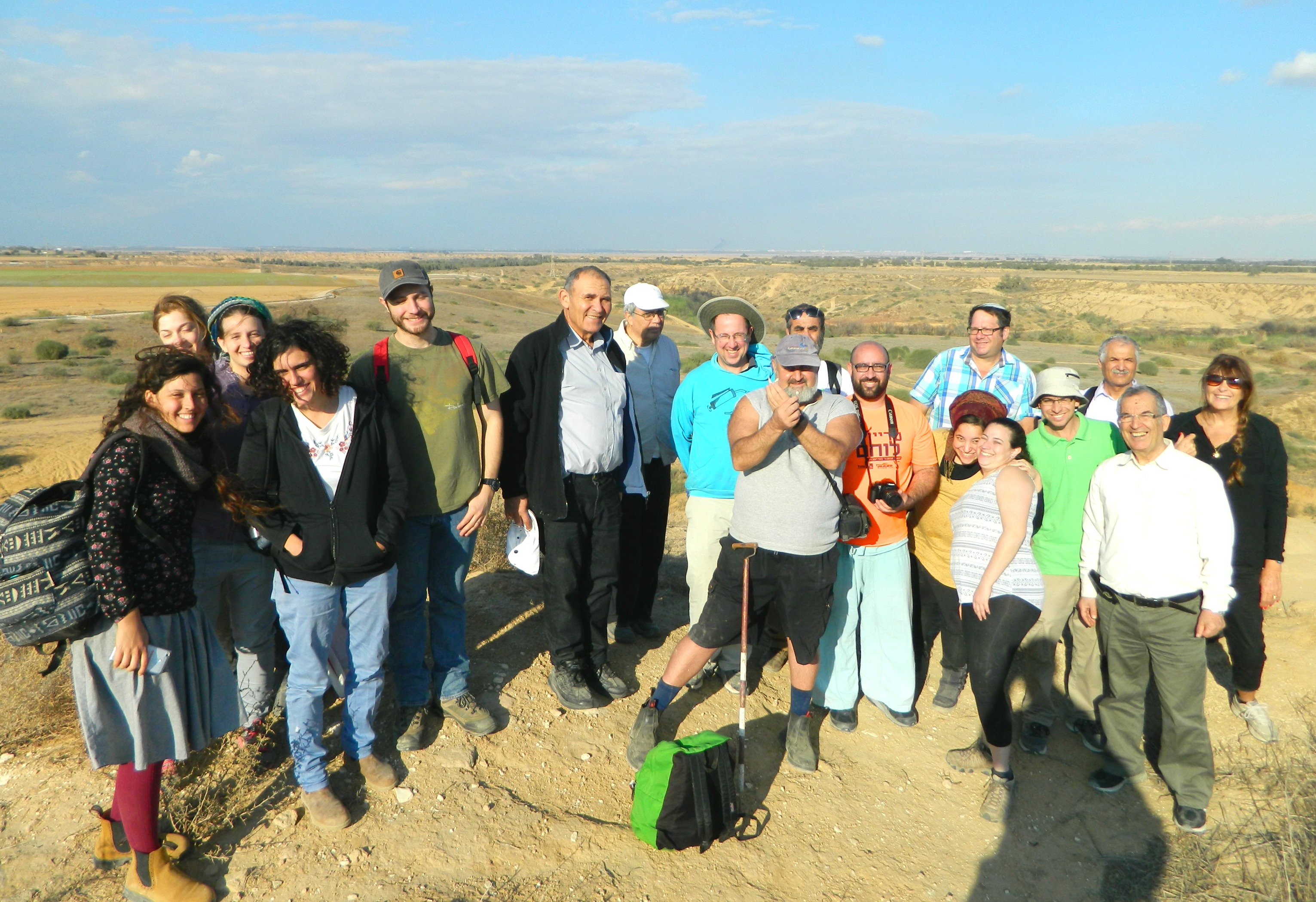
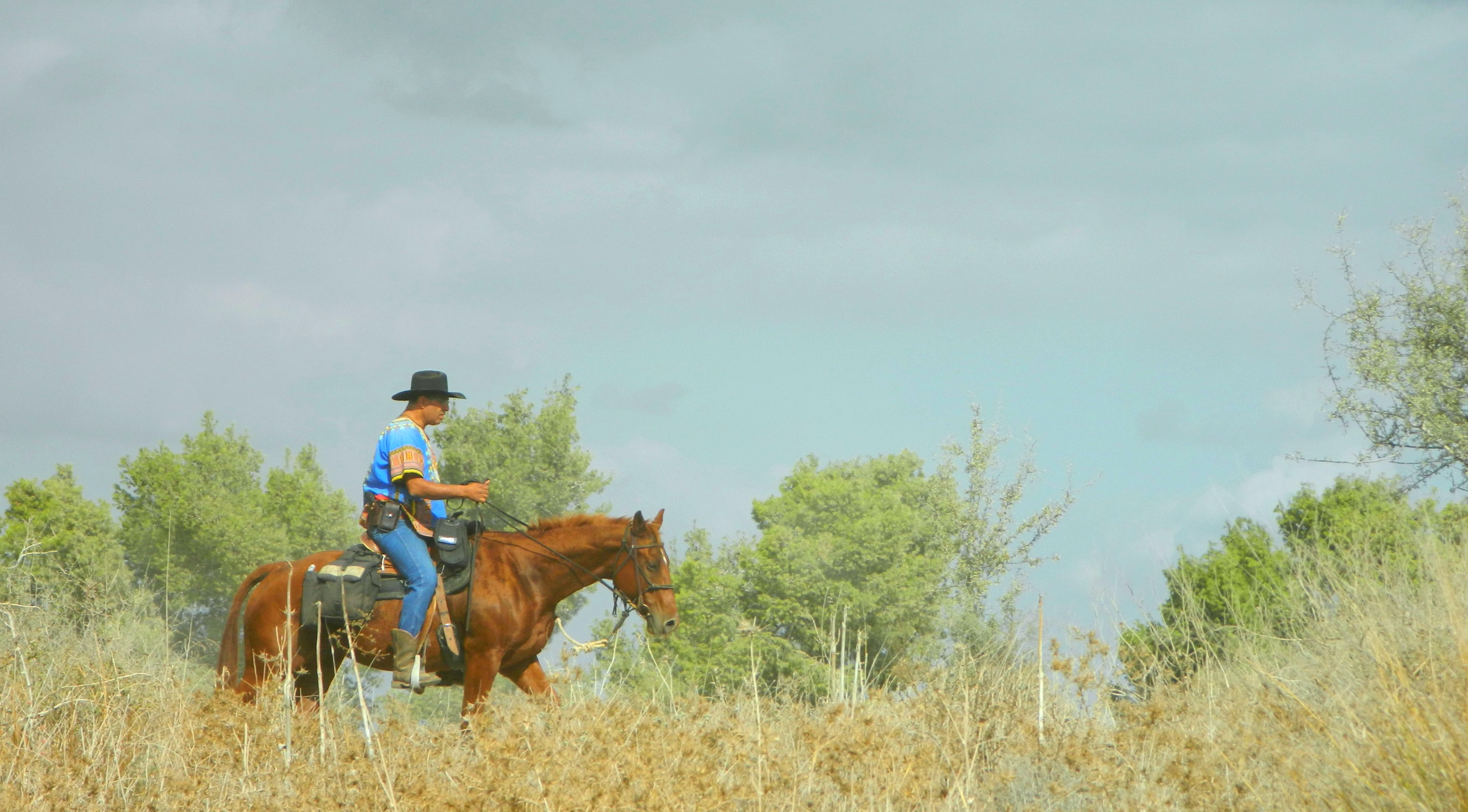
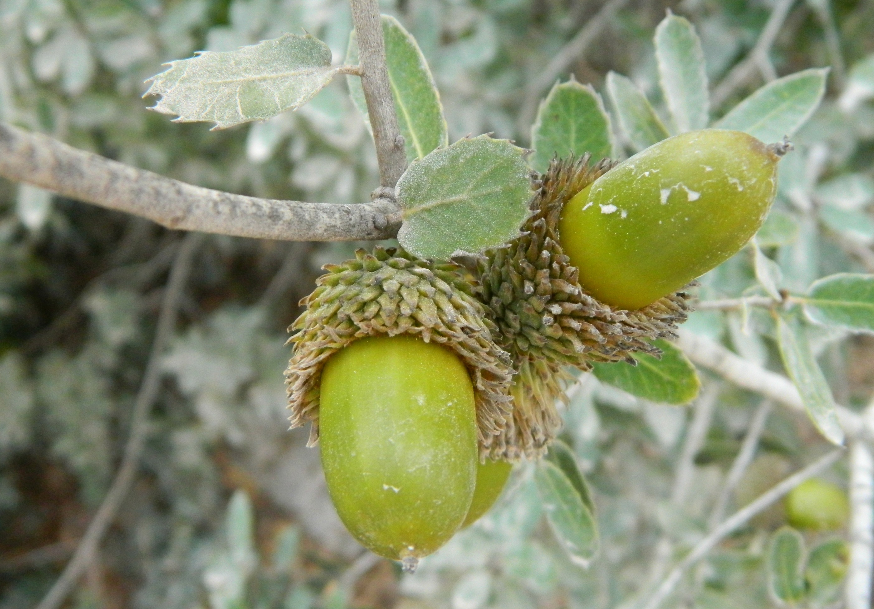
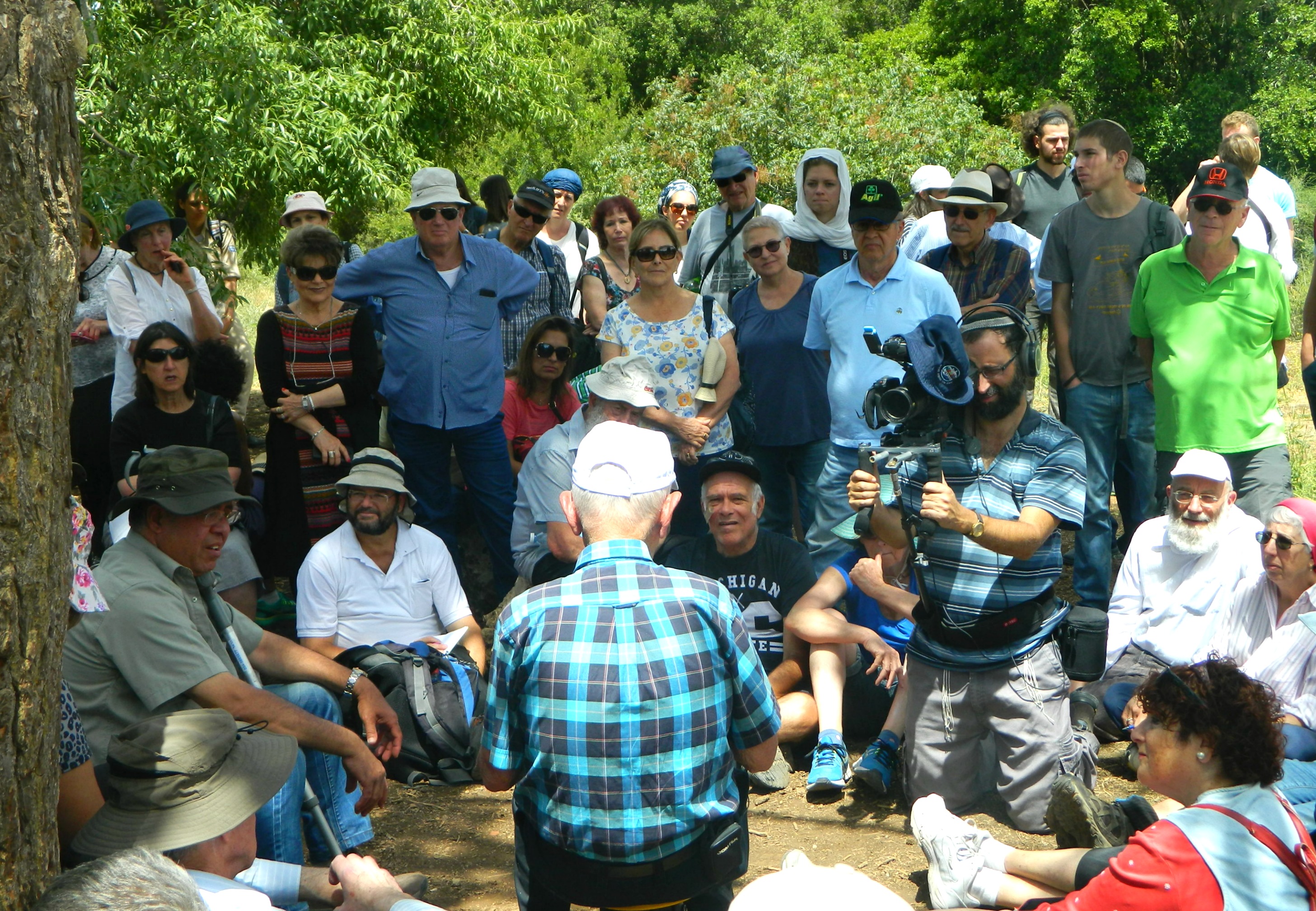
Two weeks ago, right in the middle of Chanuka, we took an Archaeology trip to the Modi’in area in search for ancient Modi’in as well as other sites of interest in the vicinity. Leaving the university by tour bus in the morning, we were driven to our first destination, a place known as Kivrei HaChashmonaim (or, Graves of the Maccabees) just off Road 443 across from the modern city of Modi’in. Disembarking, I looked around my surroundings and spotted a chukar (type of partridge) running up a large rock, stopping near the top before another bird and then flying away in the opposite direction. Due to the great distance, only when I looked at my camera screen did I notice that the other bird was a kestrel (I had assumed it was another chukar). A great way to start off a trip!
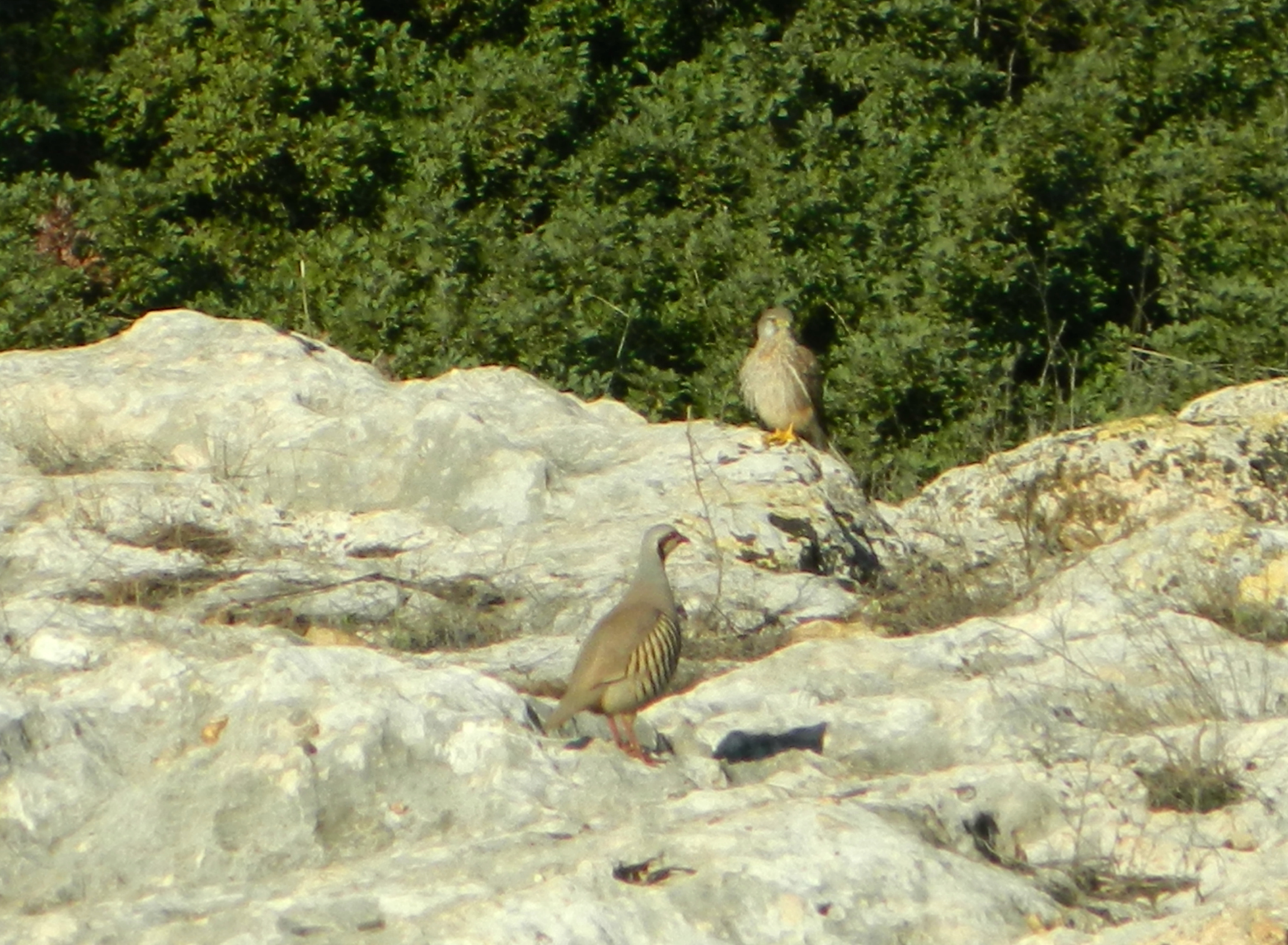
Chukar meeting a kestrel
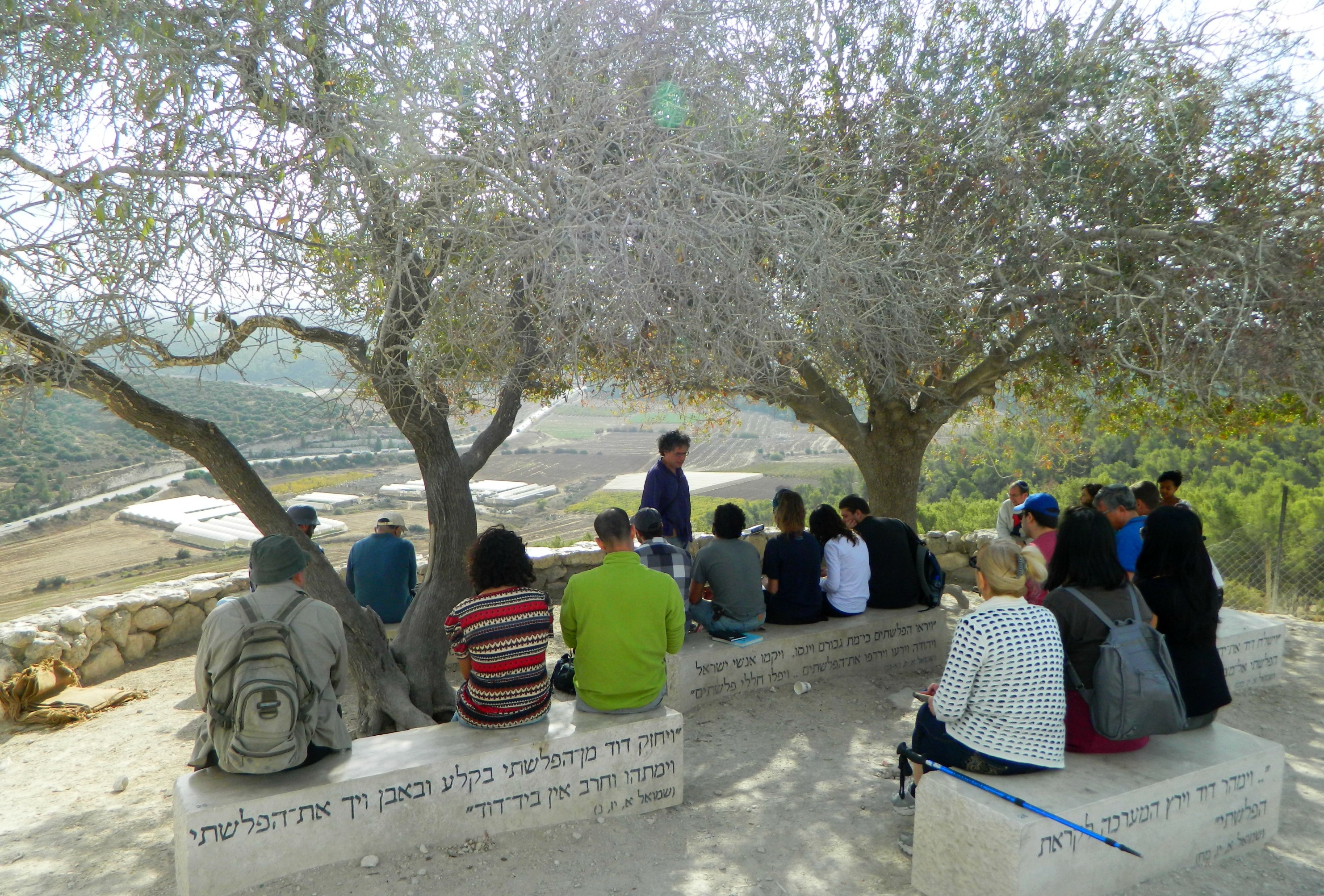
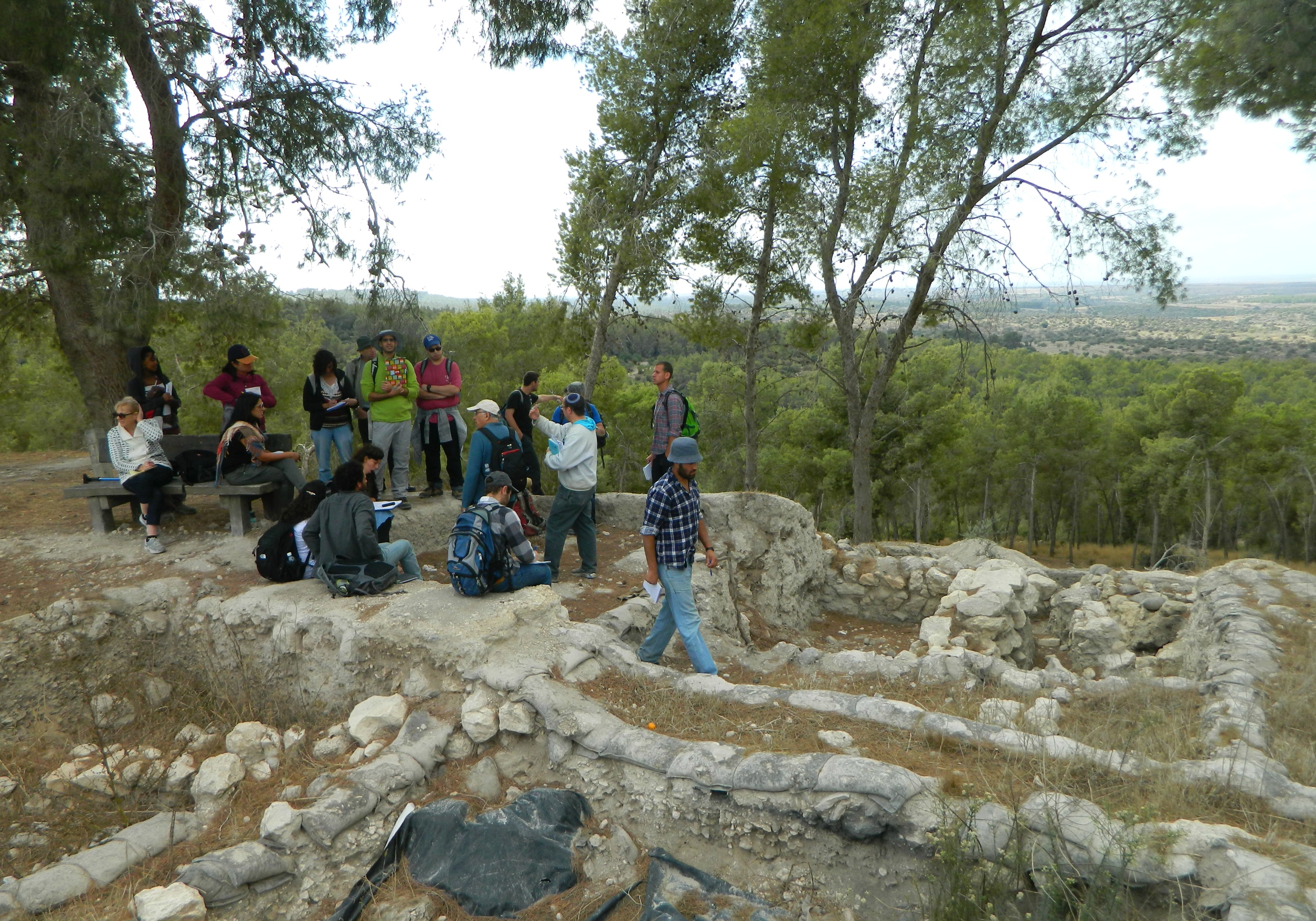
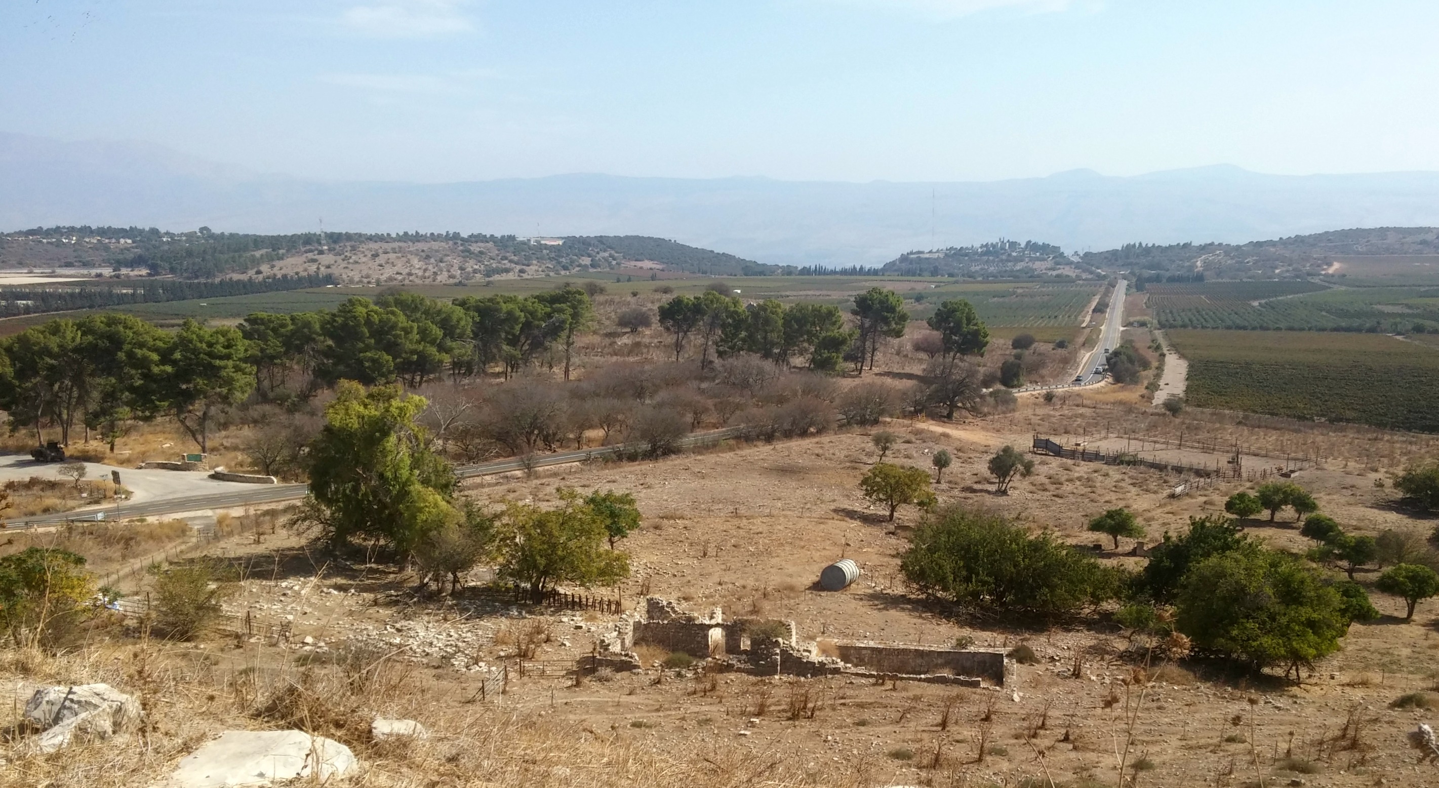
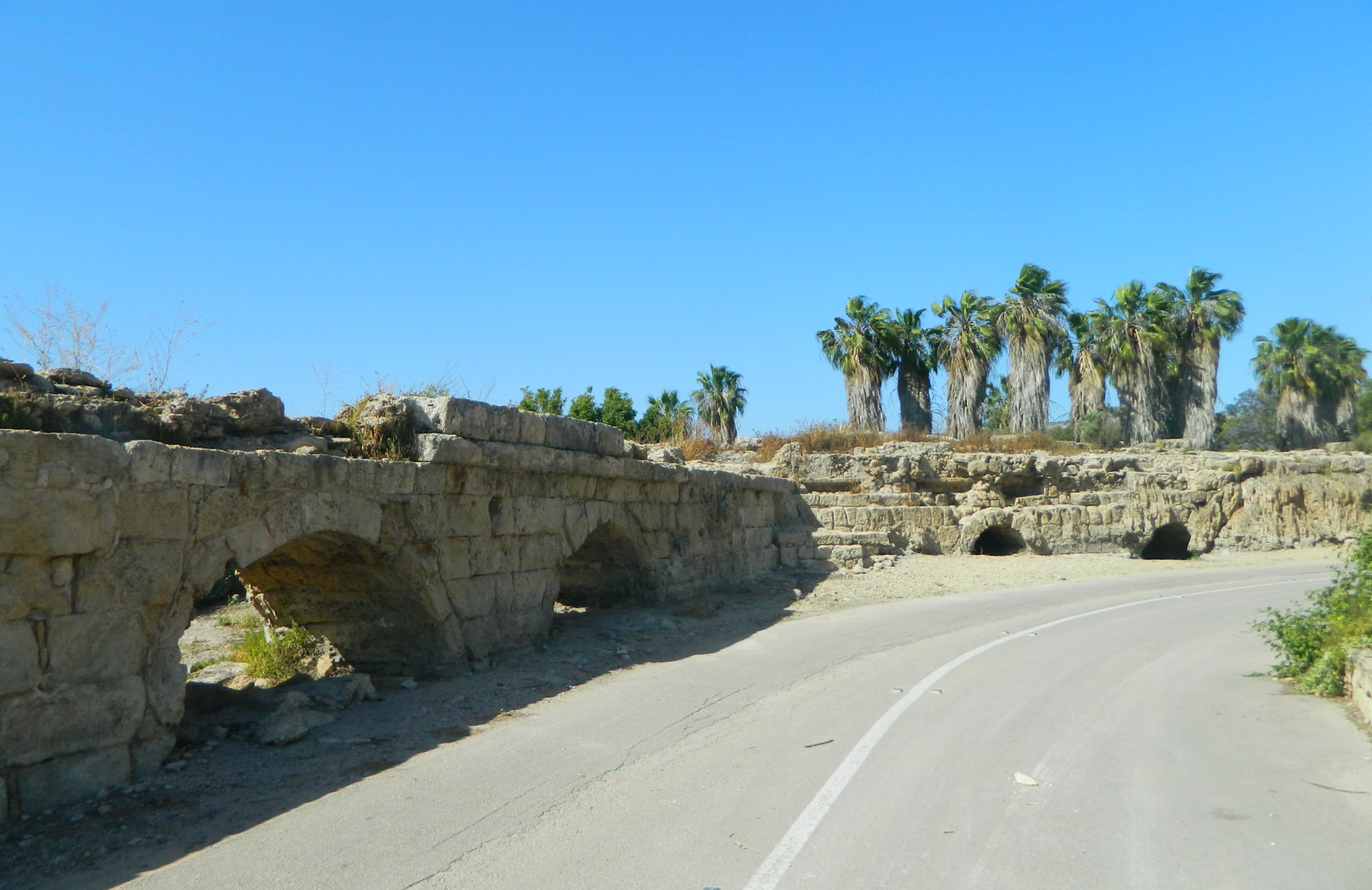
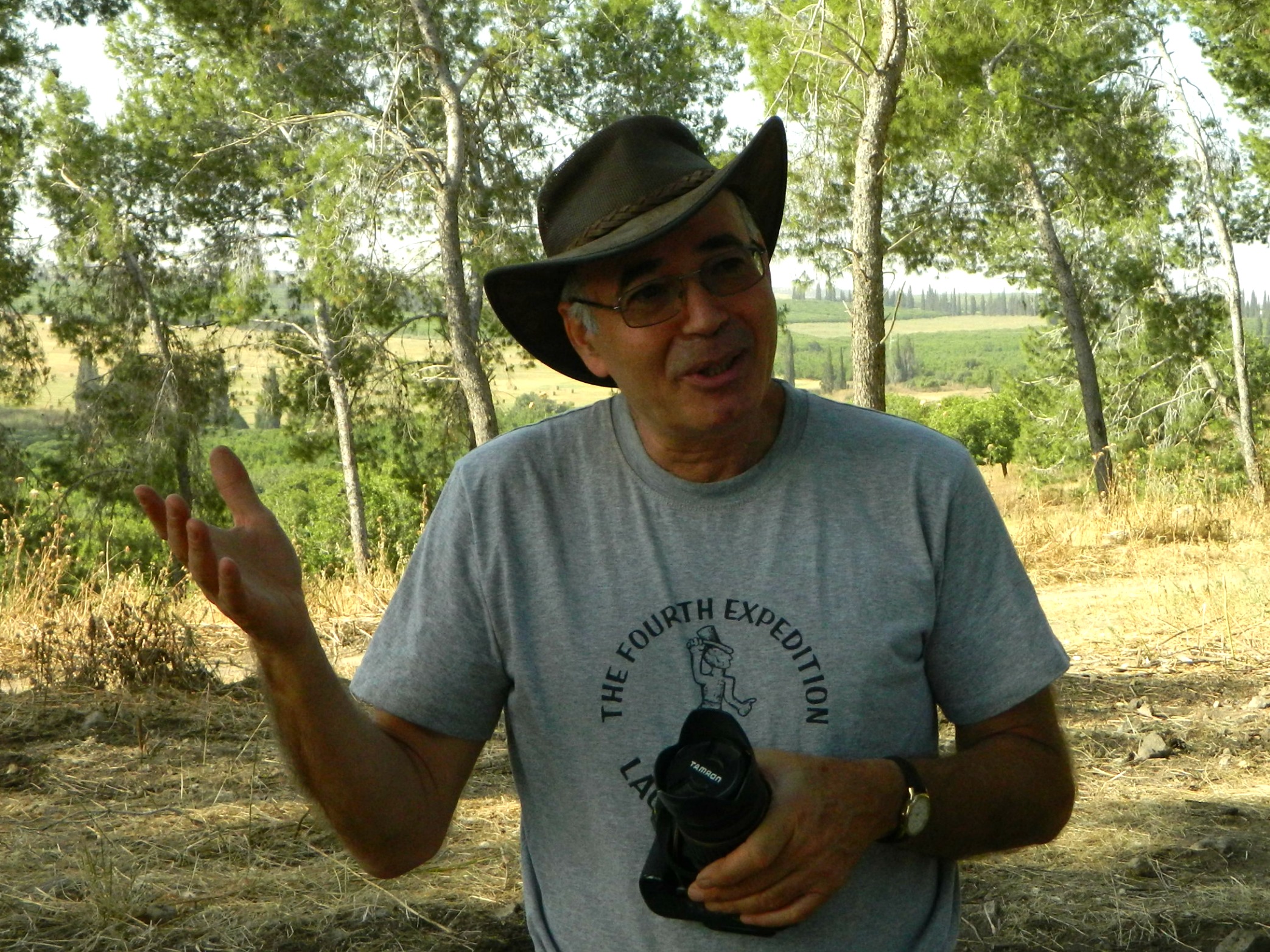
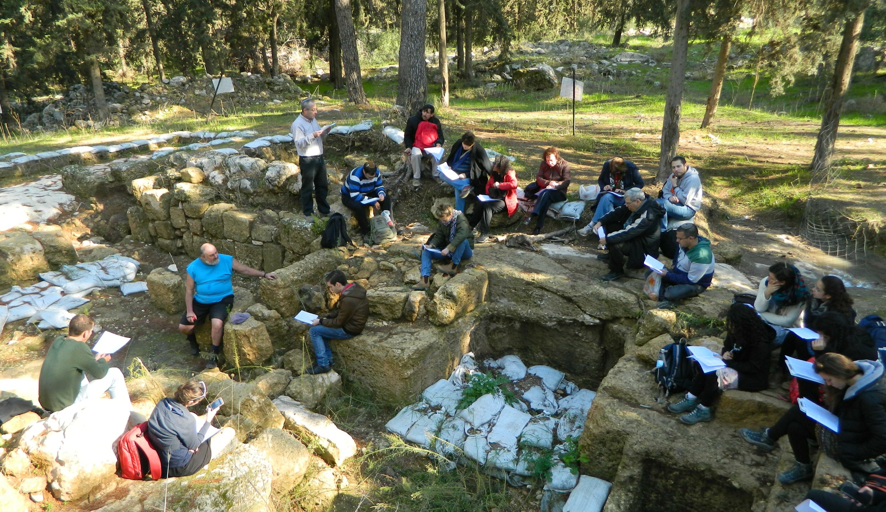
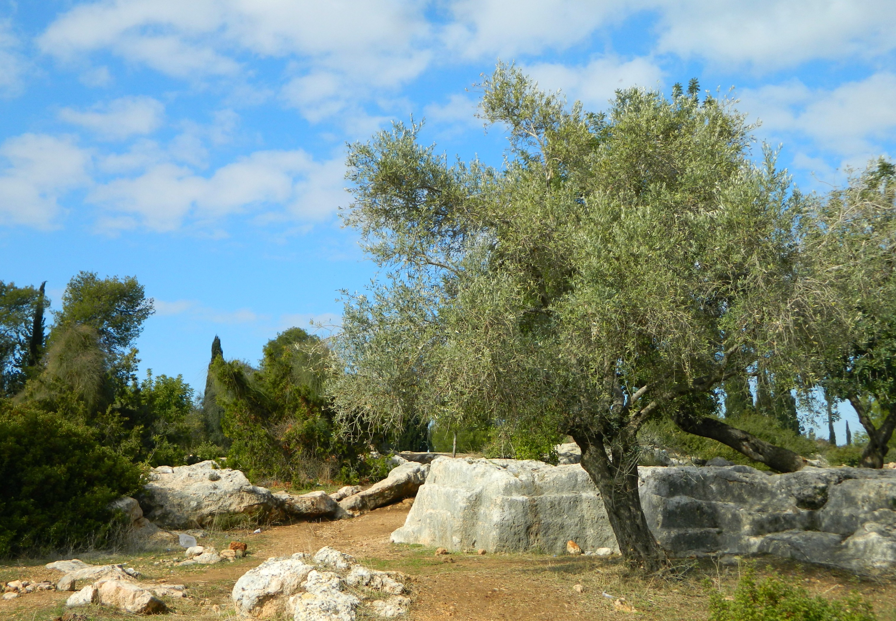
From there we headed down a nice trail towards Nachal Modi’im where we stood near some olive trees to hear from our tour leader, Dr Eyal Baruch, about the first possible choice of ancient Modi’in’s location. Across the stream from us, and over the security fence and patrol road (of the Green Line), was the Arab village of al-Midia.
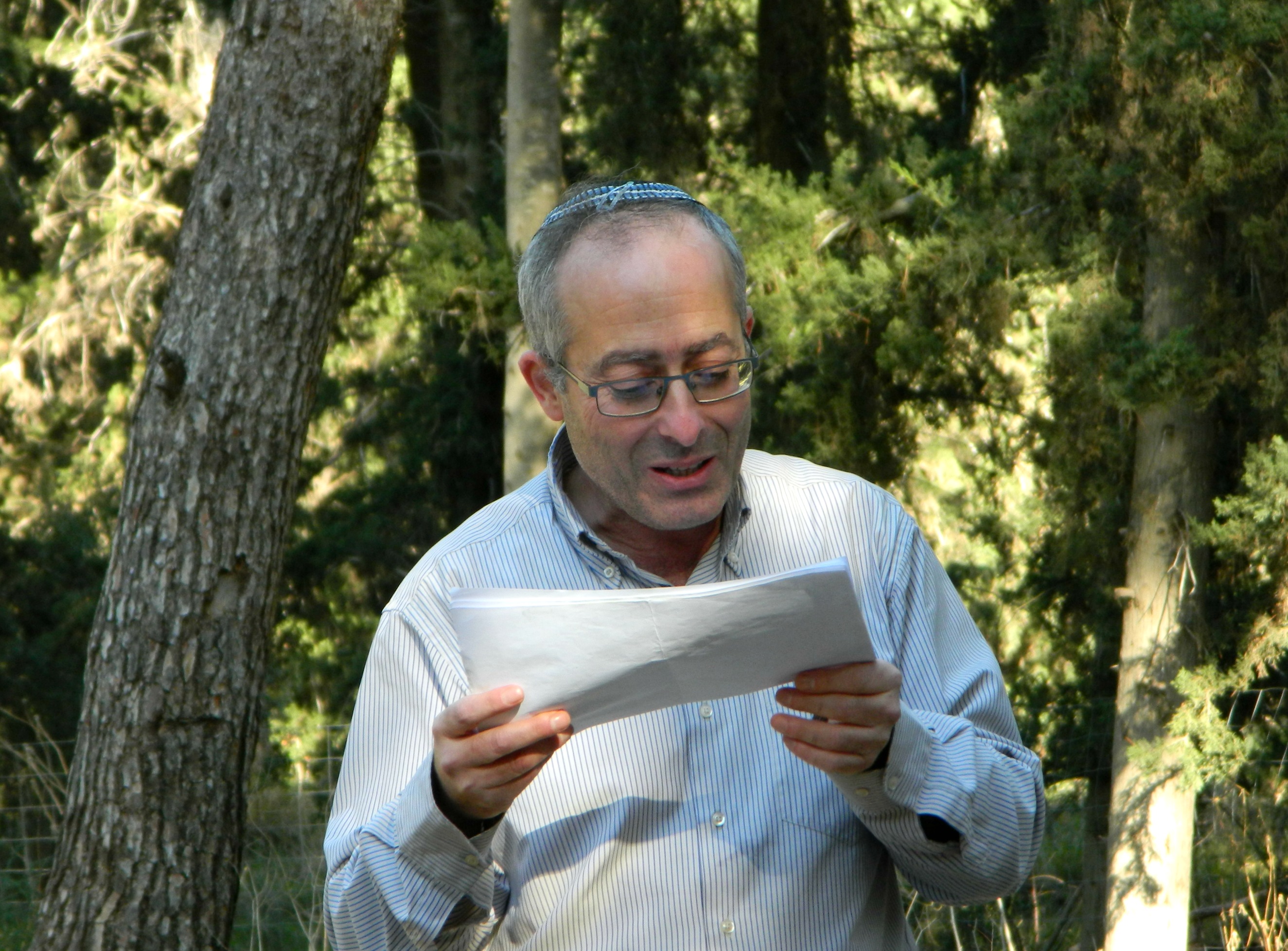
Dr Eyal Baruch of Bar Ilan University
One of the ways to help locate ancient sites is to examine the local traditional Arabic name (be it a village, wadi or mountain) – if the name means nothing in Arabic, there’s a fair chance that the name is just a corruption or adaptation of an earlier name. In this case, the name “al-Midia” can easily be perceived as a corruption of the name “Modi’in”. Unfortunately, from an archaeological standpoint only surveys of al-Midia were taken.

Persian cyclamens a’bloom
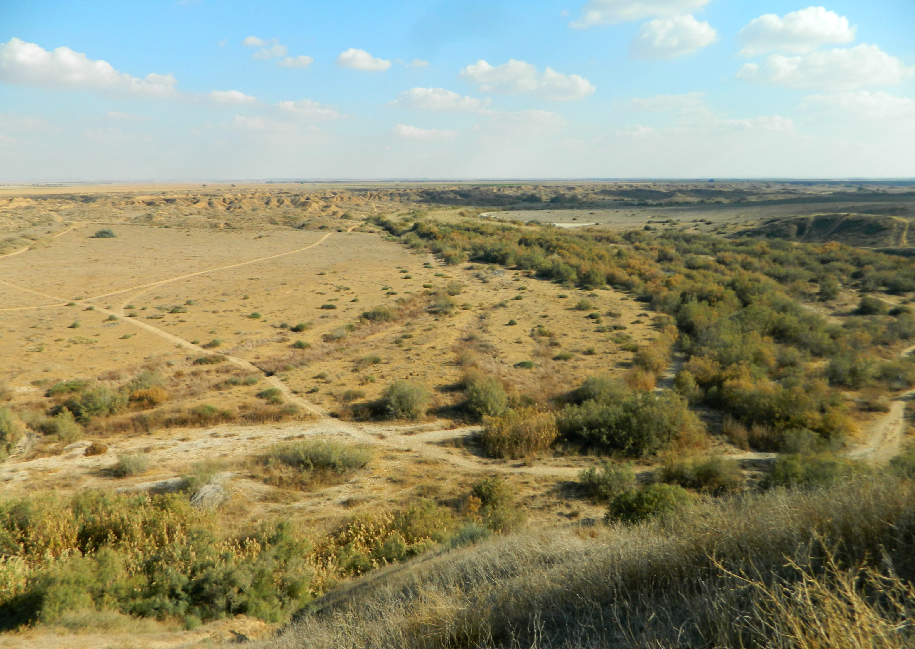
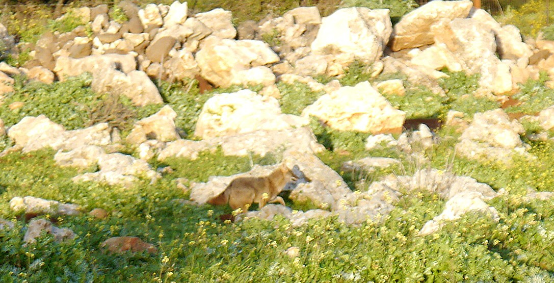
From our vantage point to al-Midia we walked back towards the bus and then down another path to our next destination: Horvat HaGardi. Along the way, I spotted something moving quite a ways off in a field. At the great distance, it was hard to make out what it was – perhaps a dog, or two large birds standing next to each other? Activating the camera, I was soon in the possession of several photographs of a particularly handsome gazelle snacking on the lush grasses.
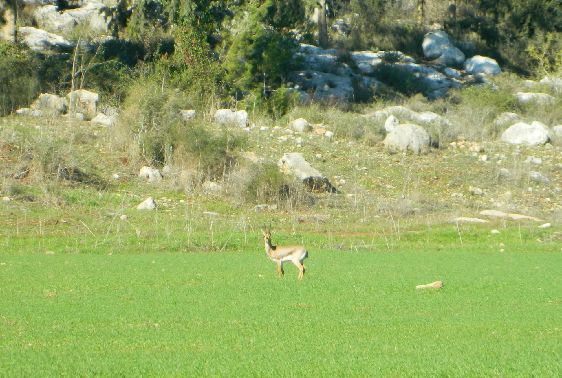
A gazelle off in the distance
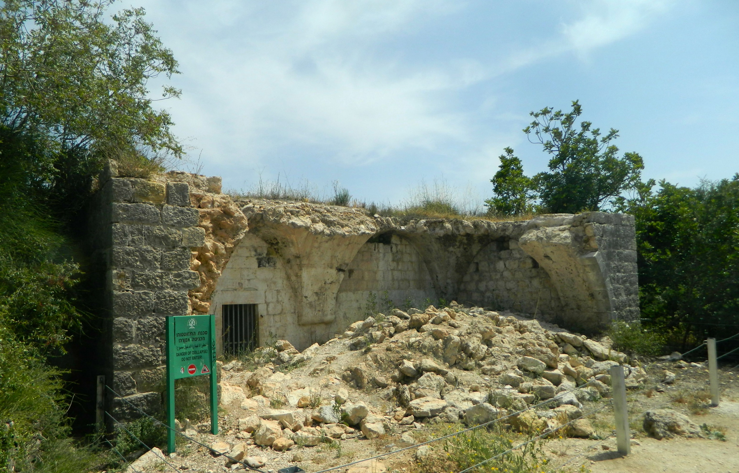
What I saw next intrigued me greatly – a mossy domed structure hidden amongst the pine trees. We were then informed that the site is the Tomb of Sheikh Gharbawi, despite the modern tomb markings labeling the site as the kever of Matatyahu (of Chanuka fame).

The Tomb of Sheikh Gharbawi
Still intrigued, I conducted a bit of research of my own, spanning the times from the late 1800s with a PEF-published “Archaeological Researches in Palestine” by French archaeologist Charles Clermont-Ganneau to a forum discussion dated 2010 on a random Haredi news-site. What sealed the deal for me that this was a Muslim building was the cemented-in mihrab (prayer niche) that can be seen over the tombstone – the mihrab being on the southern wall, pointing south to Mecca.
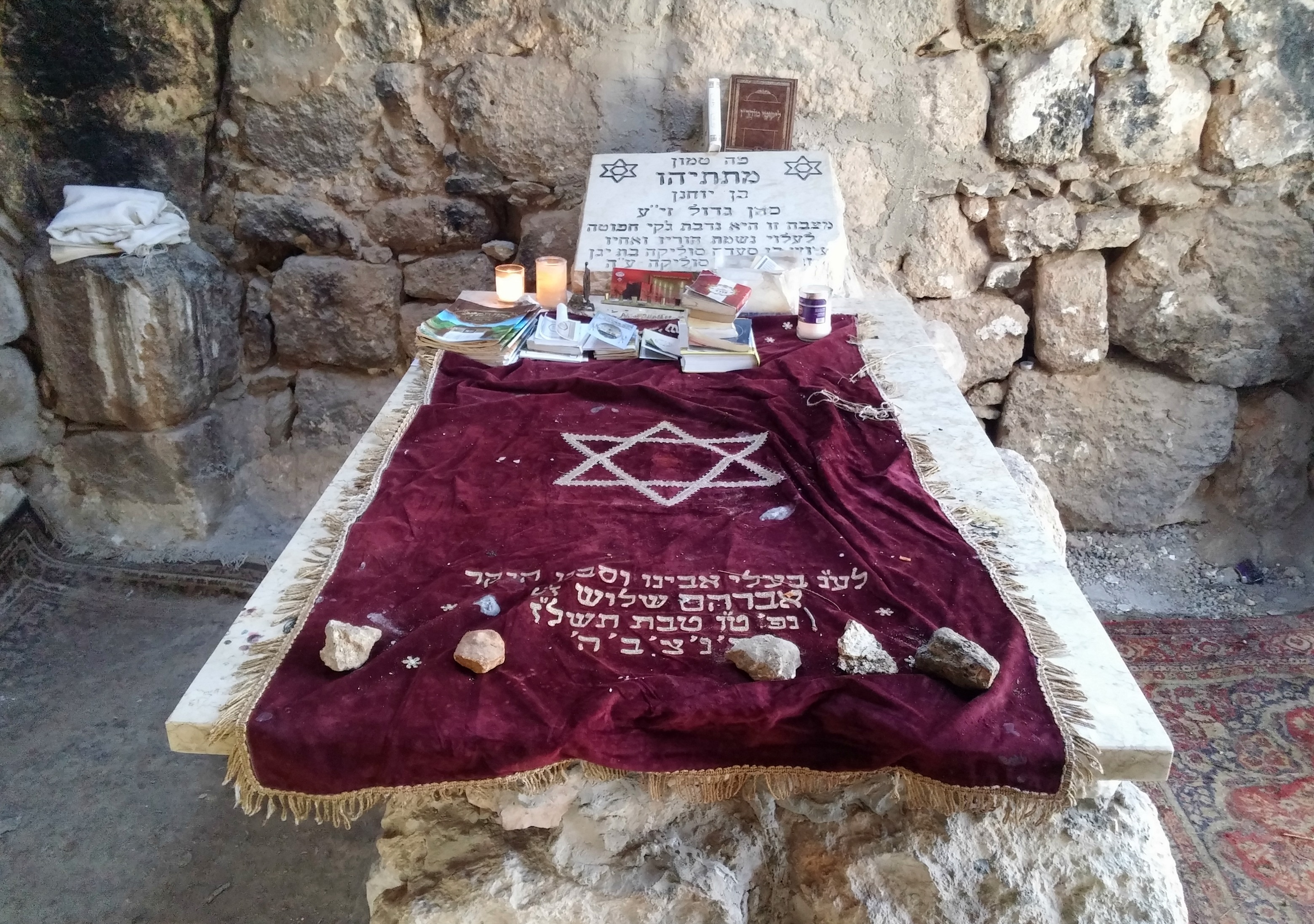
Kever labeled Matatyahu – note the mihrab
However, one can still argue that the structure was later built by Muslims over the pre-existing kever of Matatyahu, for ground penetrating radar and other scientific tools have revealed a cave of sorts under the domed building, extending southward beyond the building. Regardless, there is more to Horvat HaGardi than just this building – and we were still on the quest to identify the legitimate Graves of the Maccabees. French archaeologists in the late 1800s discovered ruins of a building which seemed to fit the description given in Maccabees I, the ancient book of Chanuka. Unfortunately, a mosaic floor with a glaringly obvious Christian cross was uncovered, bringing the building’s date to the Byzantine era.
Reading from French archaeologist Victor Guérin at the ruins of the Byzantine monastery
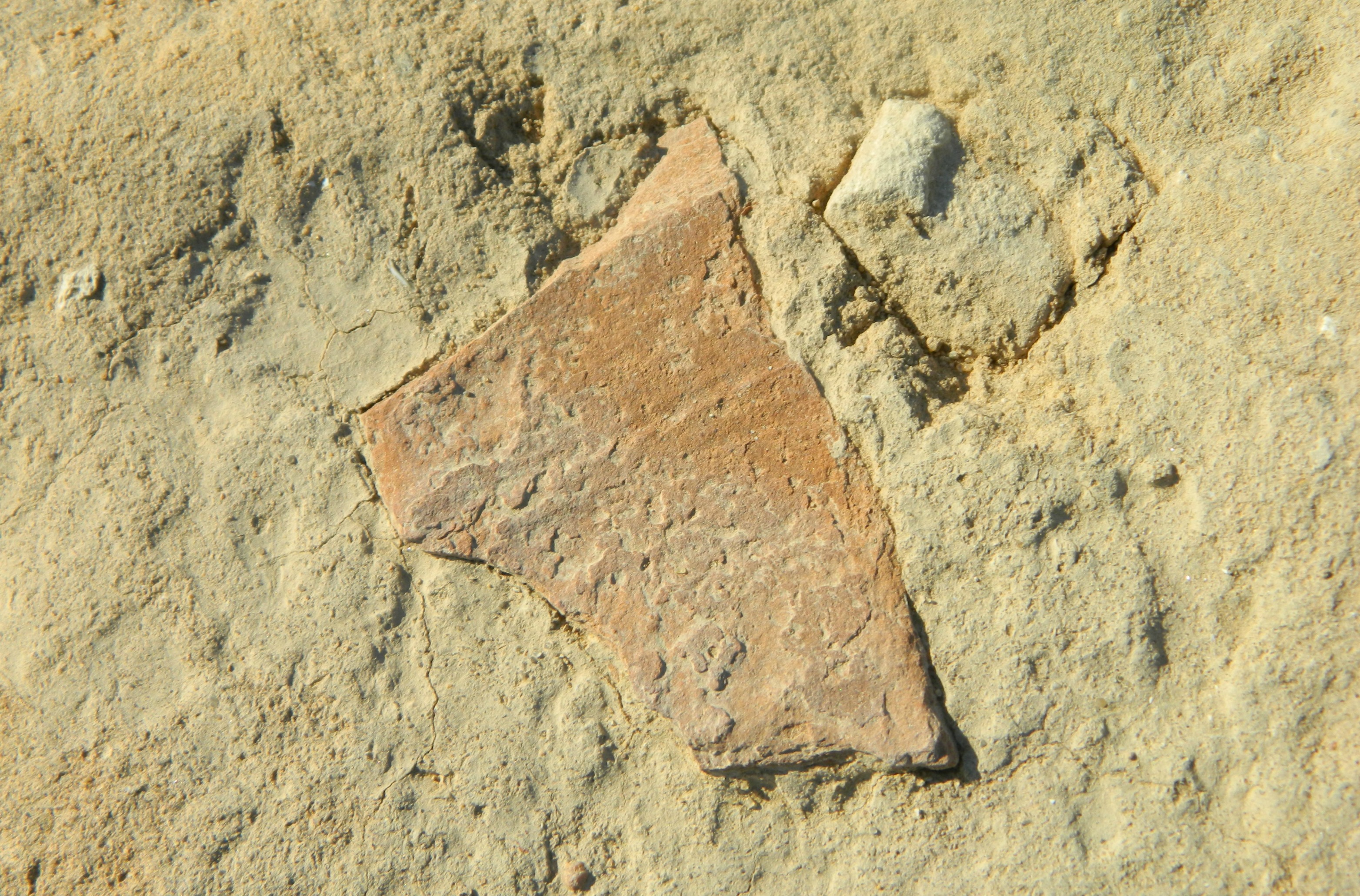
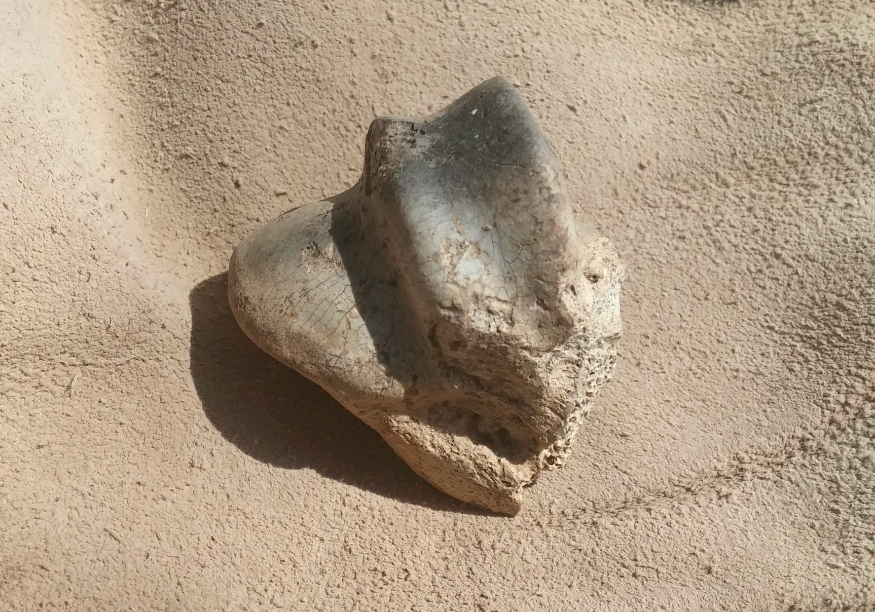
And so, we continued on to the next site on our list, pausing to look at a broken piece of pottery which seems to be have been marked by the potter with three lines.

Marked pottery
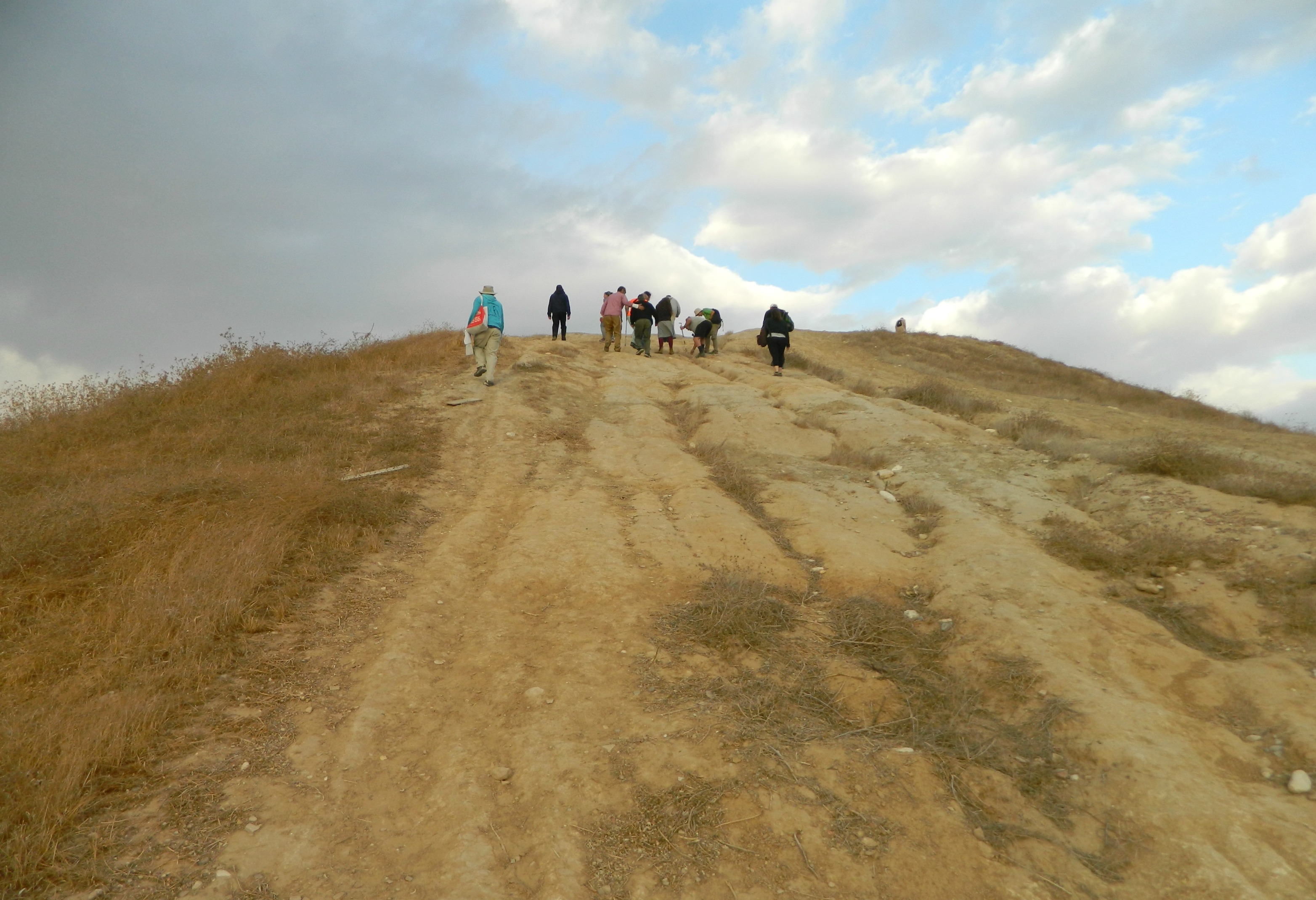
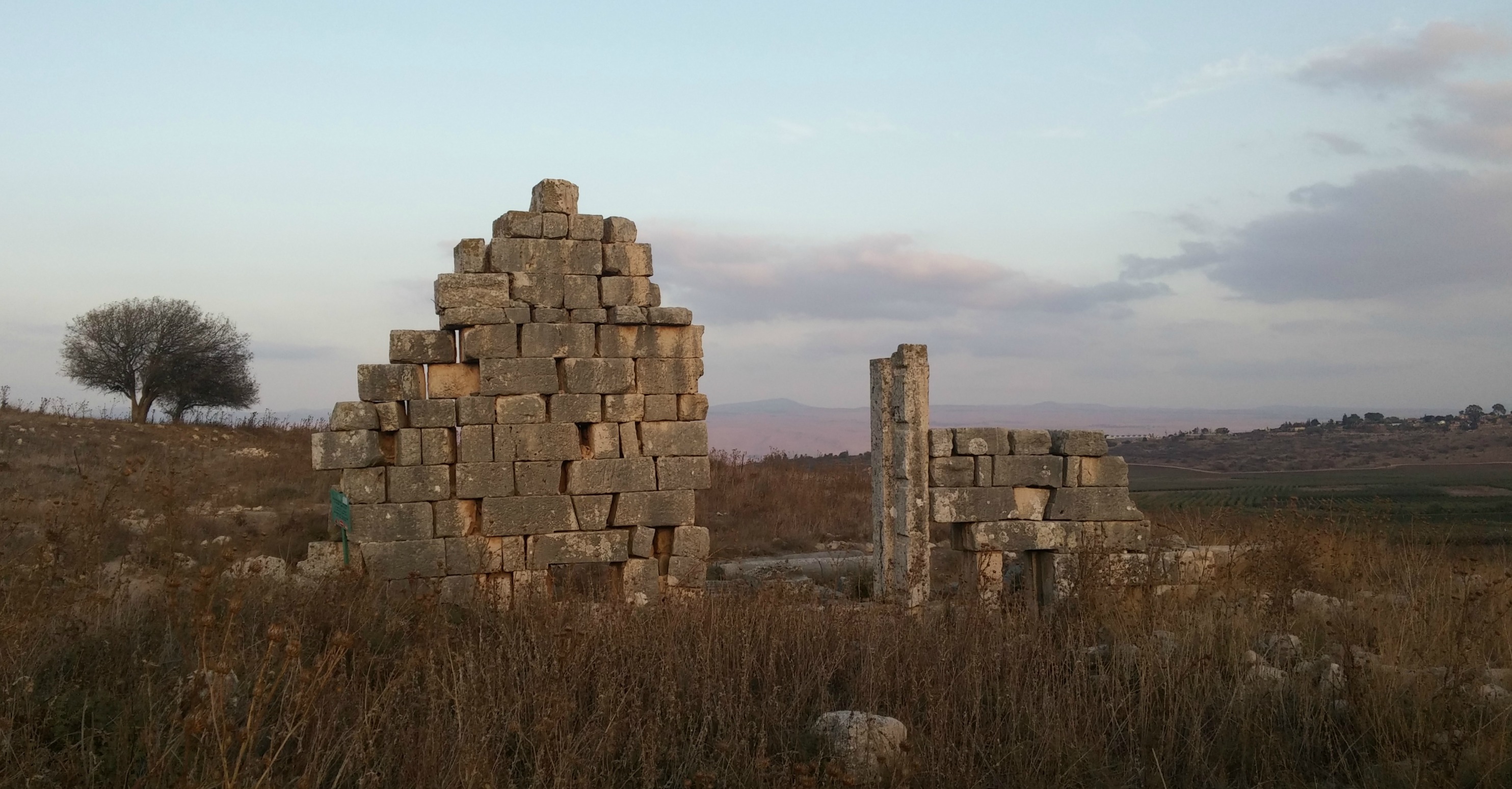
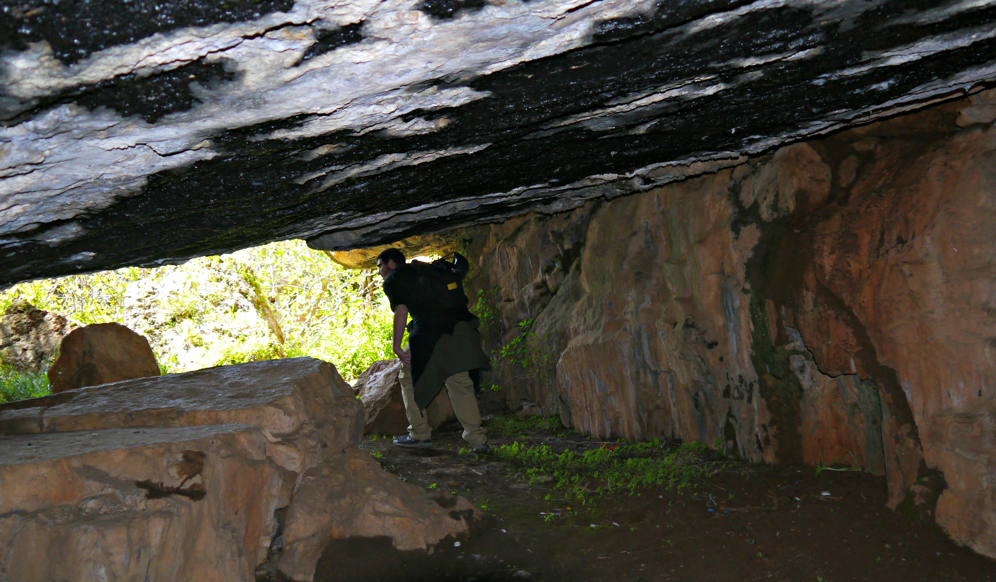
Up next was the modern day war memorial for fallen soldiers during the War of Independence in 1948, a memorial which pays a tribute to the Graves of the Maccabees with its seven pyramids (as described in Maccabees I). From there we passed several small sites of interest such as ancient walls and water cisterns before we reached the burial caves found on the shoulder of Road 443 during construction.

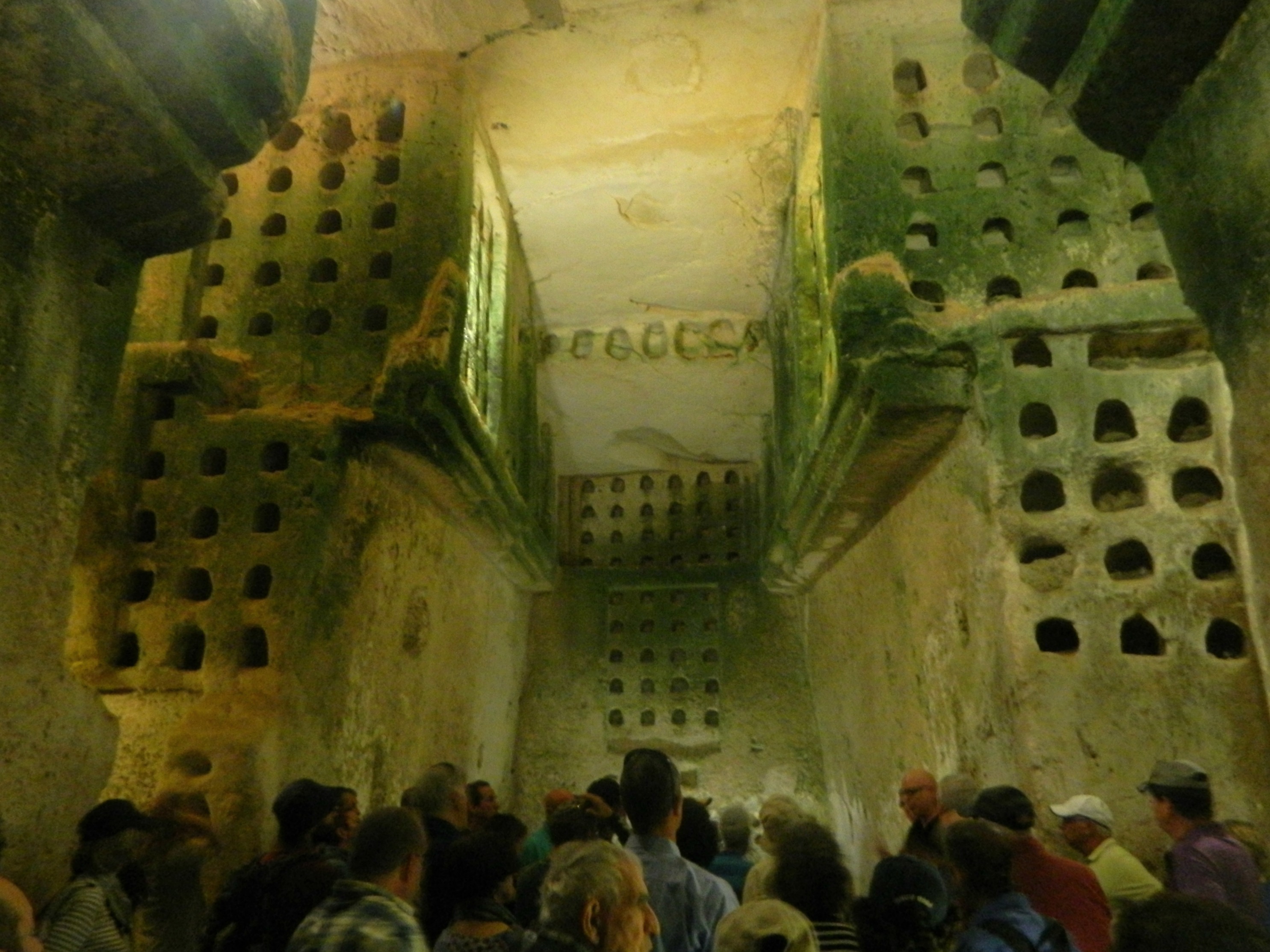
Roadside burial caves
Within these two caves are numerous burial niches which are typical of ancient Jewish burial – see, for example, the Jewish necropolis (or “city of the dead”) at Bet She’arim, a most fascinating place! Inside, finds included ossuaries (chests for the permanent storage of human bones) etched with Jewish names such as Shimon, Sarah and Rachel. Pottery finds helps date the site from the Hasmonean period (i.e the Maccabees) until the middle of the Roman Era – seemingly a perfect fit for the Graves of the Maccabees except that it doesn’t match the textual description.
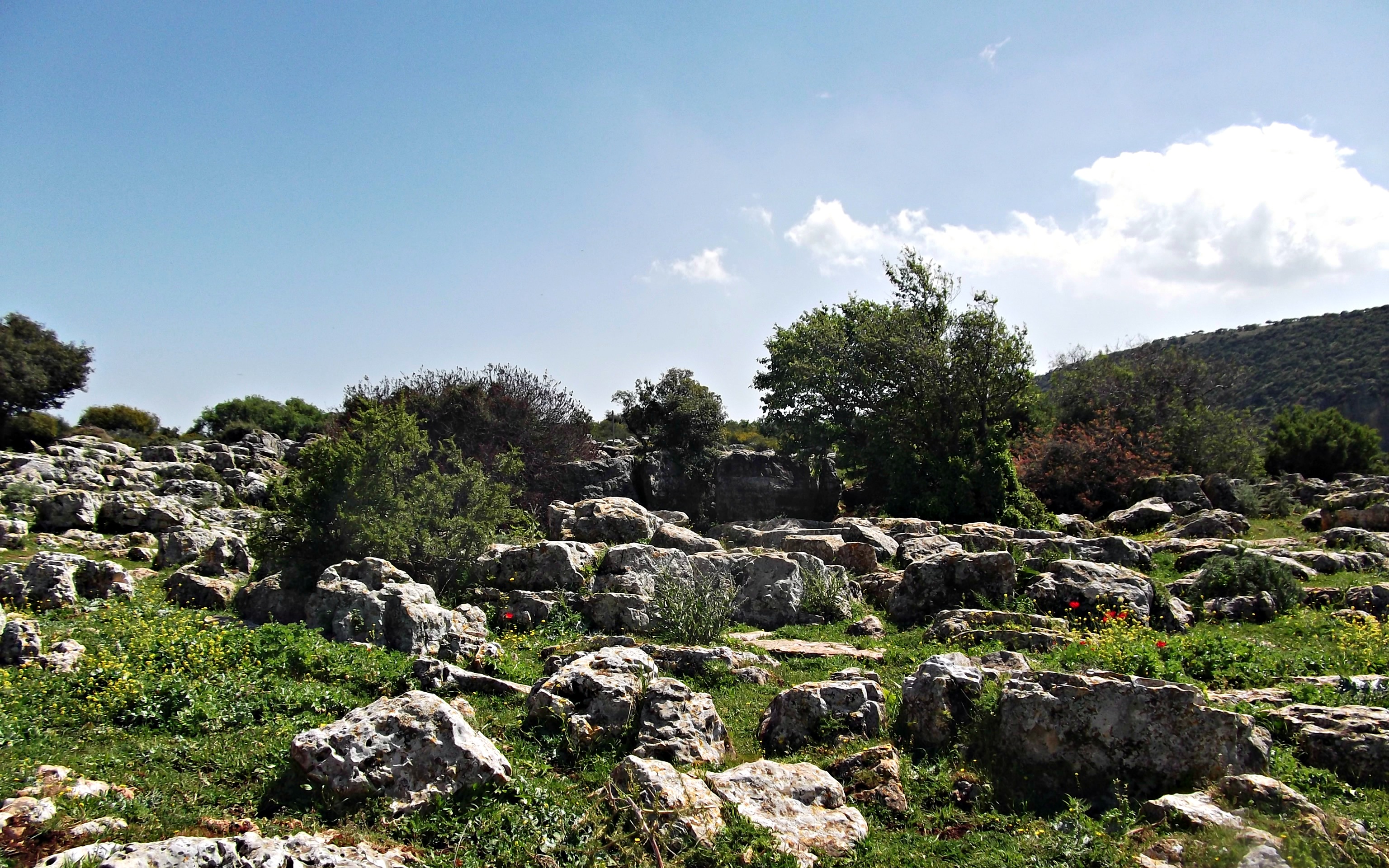
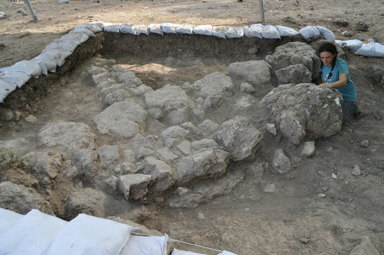
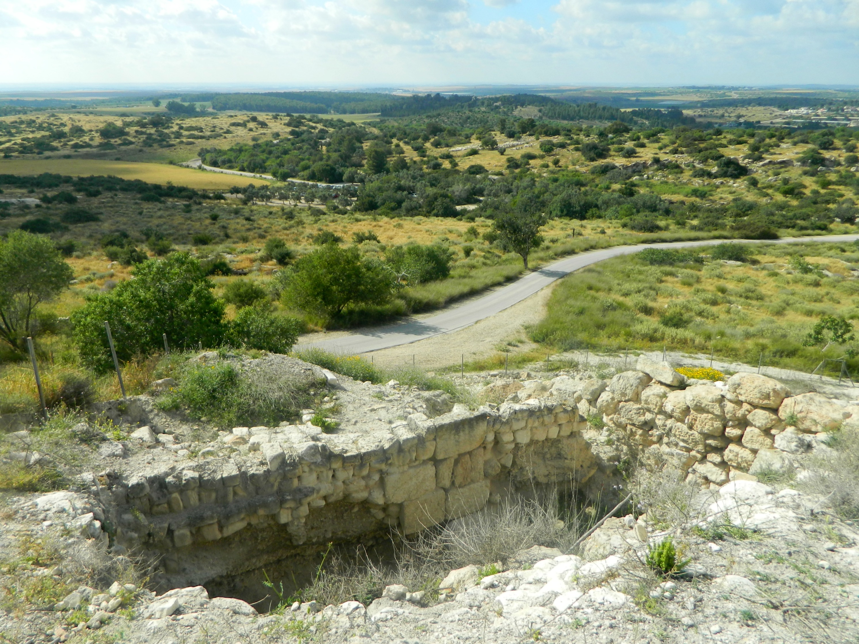
Quarry for huge stone covering-blocks
Our final possible site in the area was what is currently marked as the Graves of the Maccabees, personal and coupled burial niches carved out of the bedrock with huge stone covers. These graves were known as Qubur al-Yahud (or “Grave of the Jew”) by the local Arab population, seemingly a fitting match. However, no matter how impressive the graves are, they are unlikely to be the graves of Jews such as the Maccabees. Excavated stone crypts don’t fit the typical Jewish fashion, which means that these are most likely the burial sites of non-Jews dated to the Byzantine Era.
Within Umm al-Umdan’s fern-lined mikva
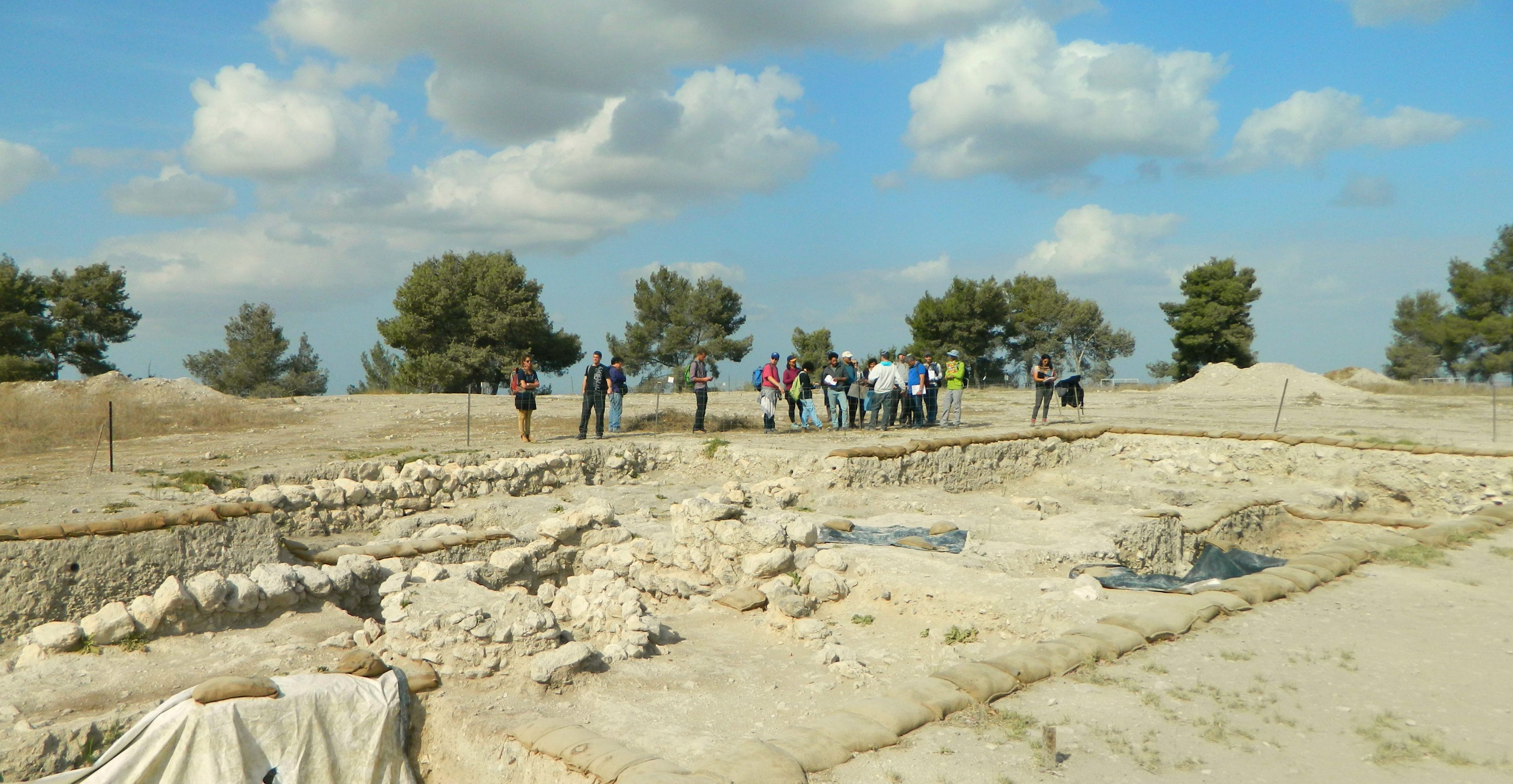
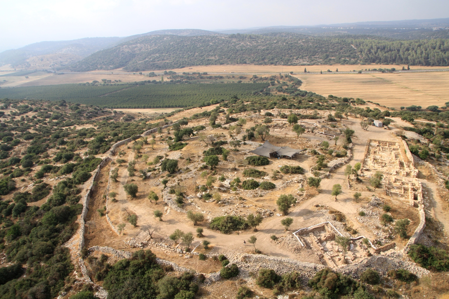
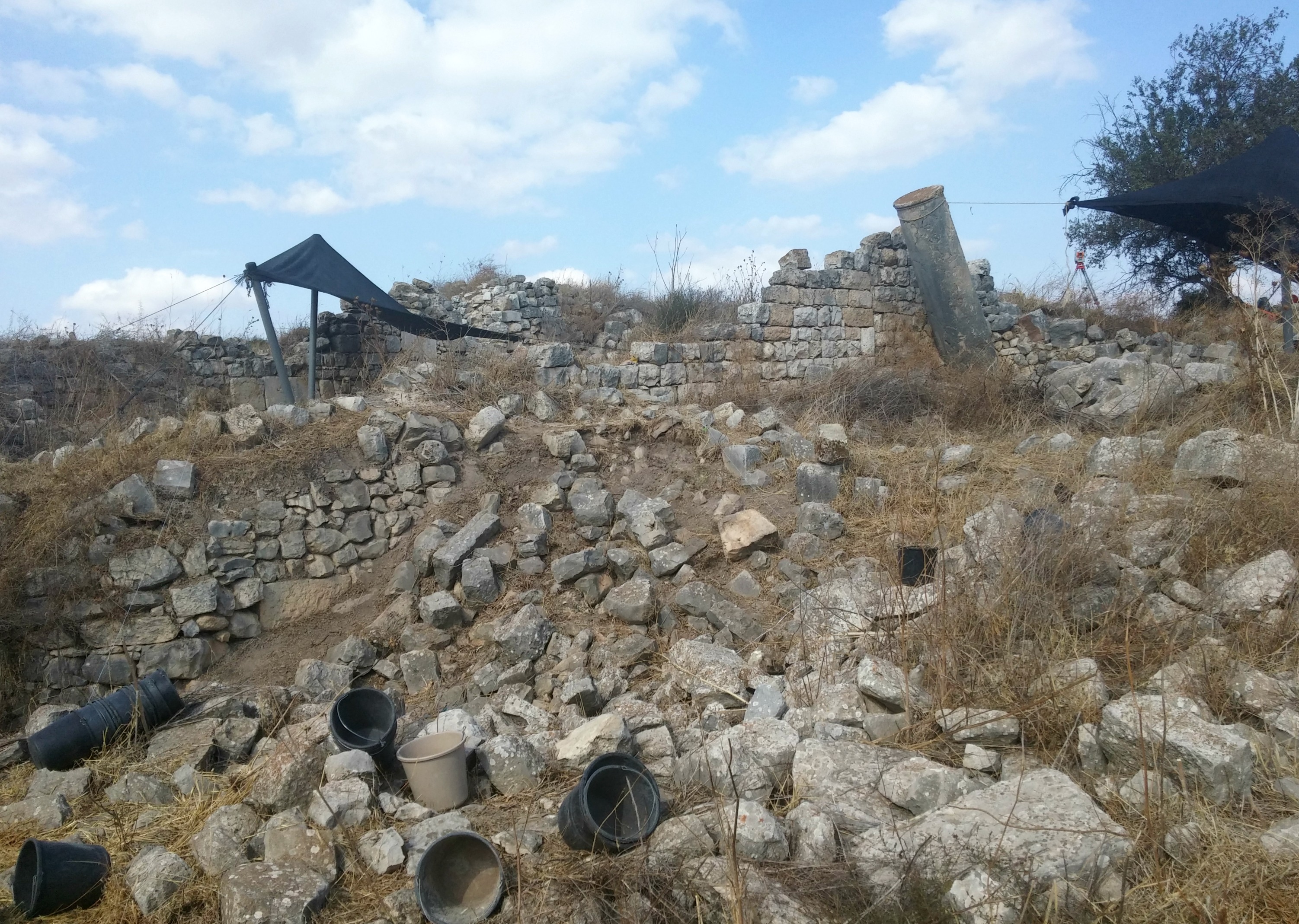
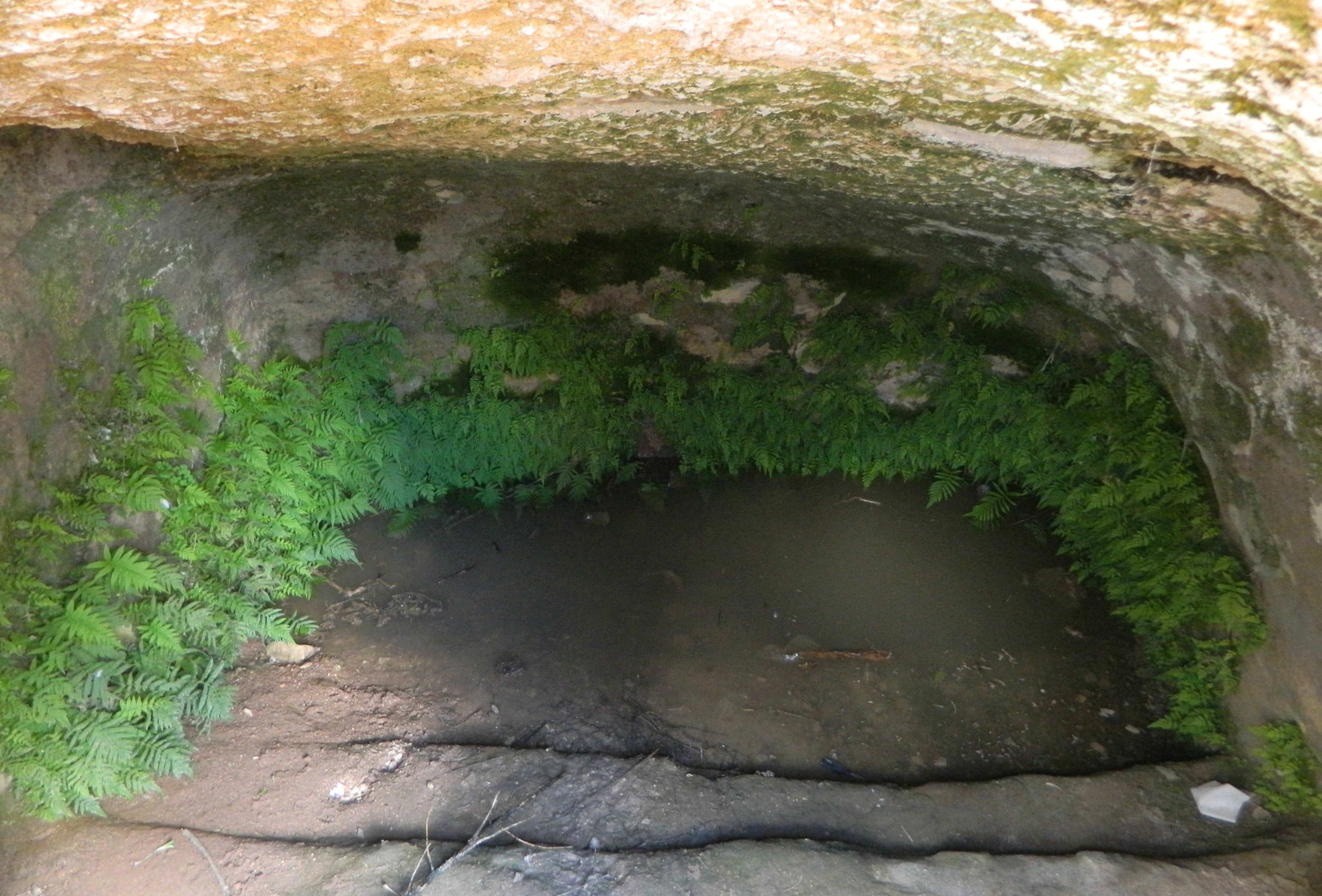
Returning to the matter of ancient Modi’in, we hopped back on our bus and were driven to the southwestern corner of modern-day Modi’in where ruins of a Second Temple-era village were recently excavated. The site, called Umm al-Umdan, is the host of an ancient synagogue, believed to be the earliest one yet having been built long before the destruction of the Second Temple by the Romans. We toured the synagogue, the mikva (ritual bath), the dwelling houses and winepress carved into the rock with a mosaic pressing floor. Perhaps this was the site of ancient Modi’in, or perhaps not.
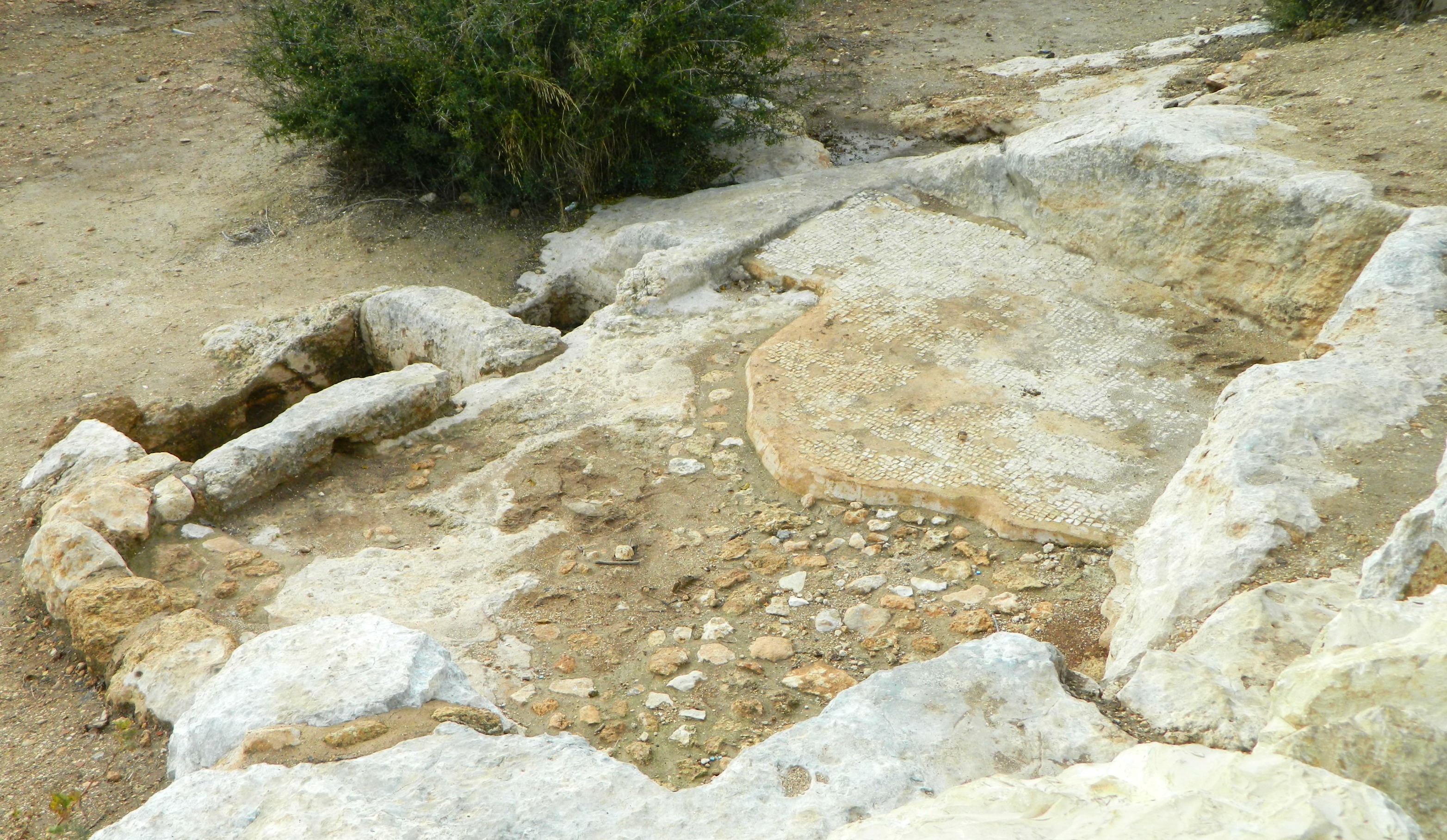
Mosaic floor of Umm al-Umdan’s winepress
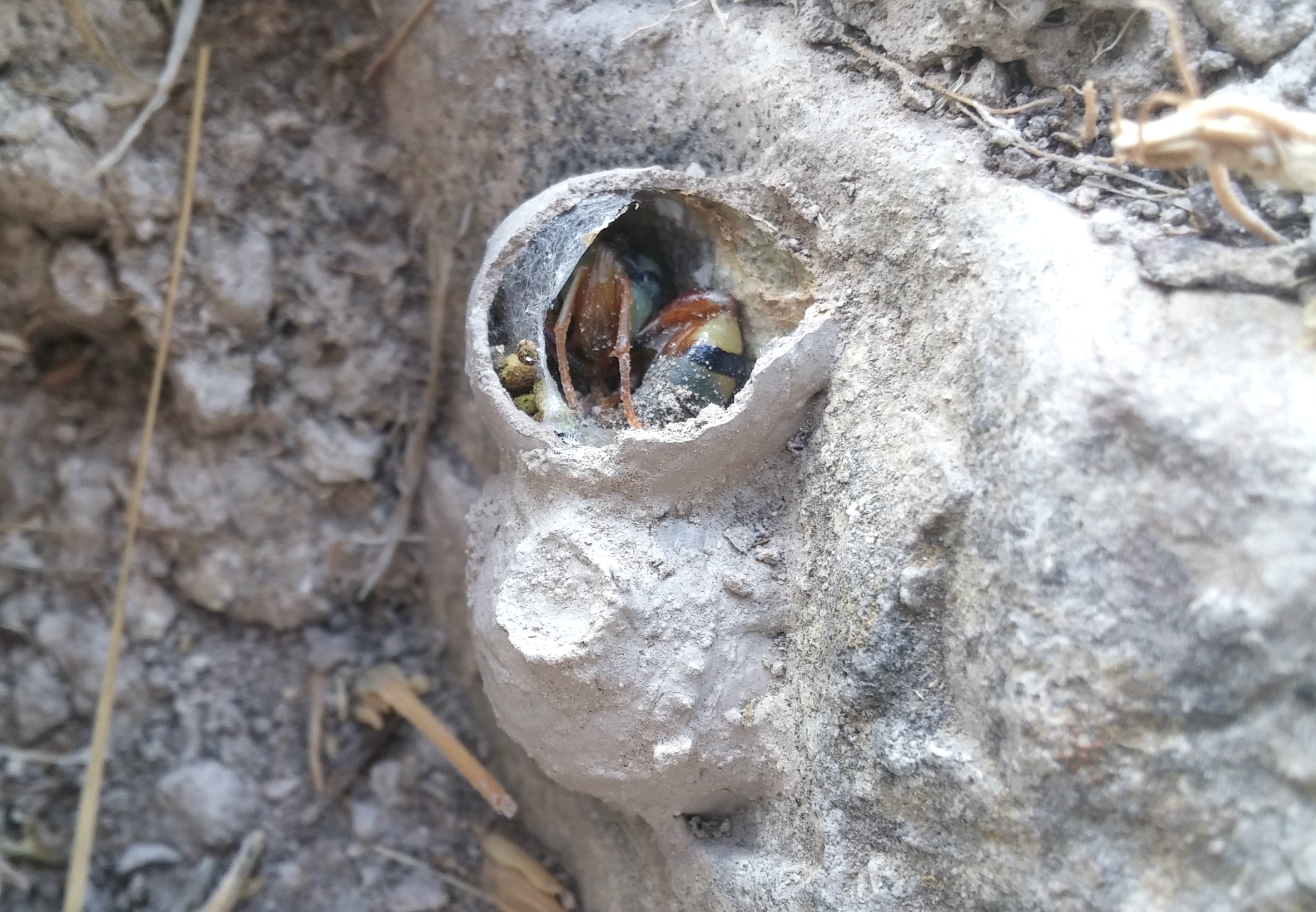
At Umm al-Umdan I didn’t forget to keep an eye out for birds and was rewarded with a multitude of sunbirds (one even ringed), a pied wagtail, stonechats, kestrels and my first chaffinch. But the best sighting was not avian but that of a juvenile conehead mantis which had wandered onto Dr Eyal Baruch’s shoulder. I took him for a quick photoshoot, which he thoroughly enjoyed!

Juvenile conehead mantis
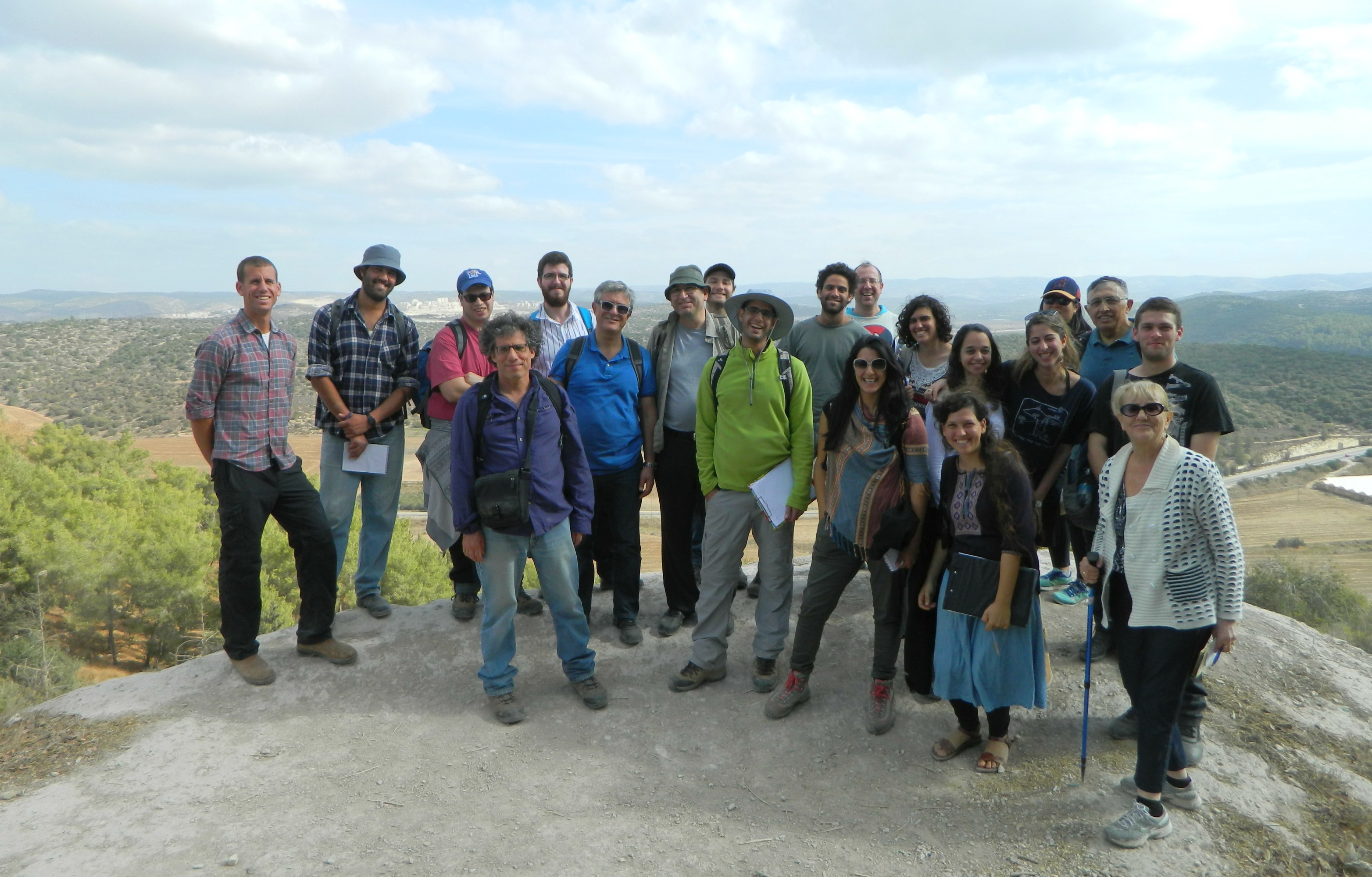
And with that our tour of the Modi’in area was over, and we were driven back to BIU to enjoy the rest of Chanuka (and to read up on all these fascinating things).
Special thank you to Itamar Berko for paying more attention than I during the tour and helping me fill in the information gaps!