Nearly a full year ago, shortly before going on the wine tour (starting with the Tishbi Winery in Zichron Ya’akov), I went on a day trip to Tiberias (also known as Tverya) with my father. Although being a very important city historically, and just a short drive away, Tiberias hadn’t been at the top of my lists and has therefore been neglected for far too long. However, I shall now right that wrong and regale the tale of our journey.

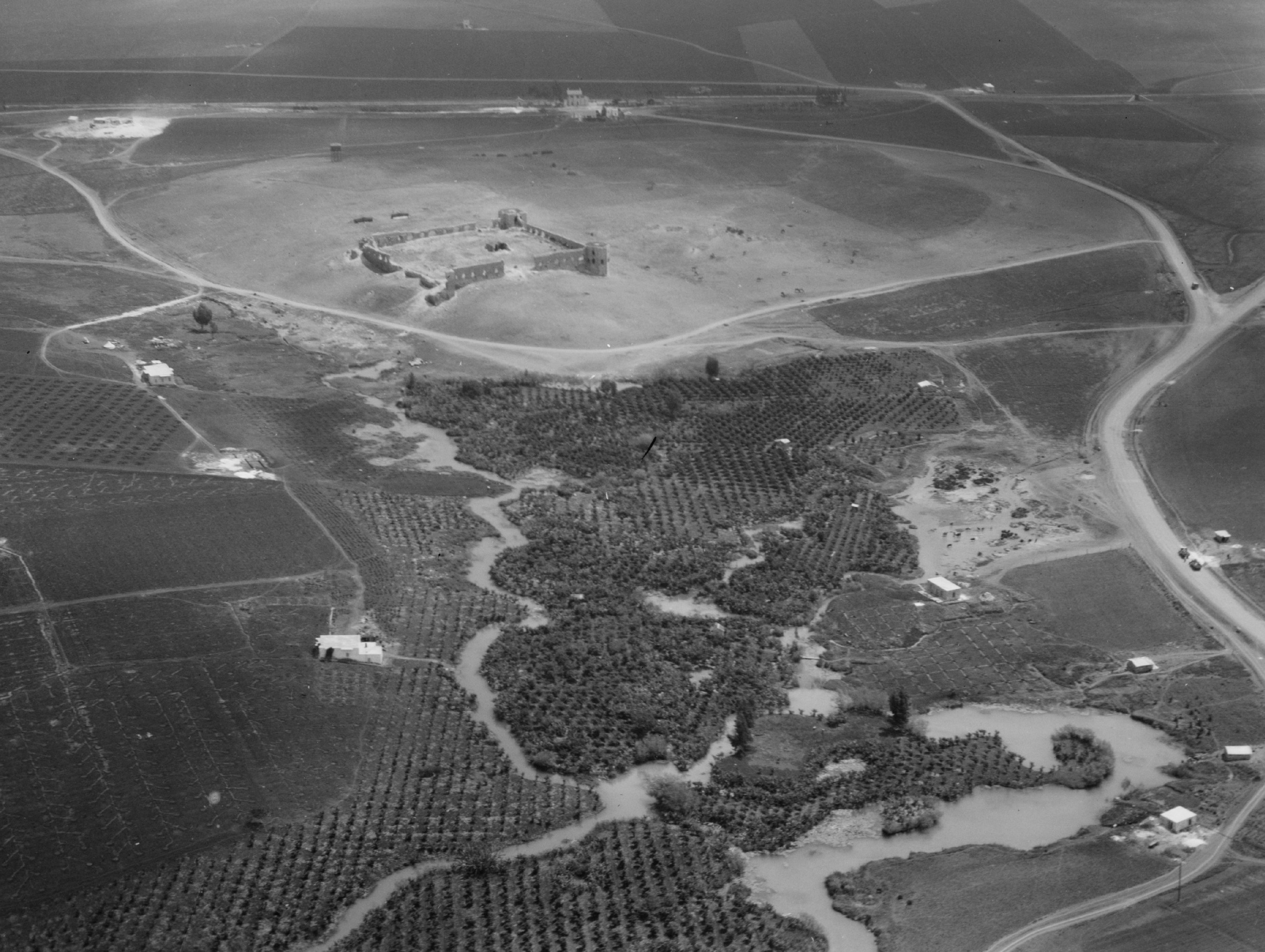
Tiberias in the 1920’s
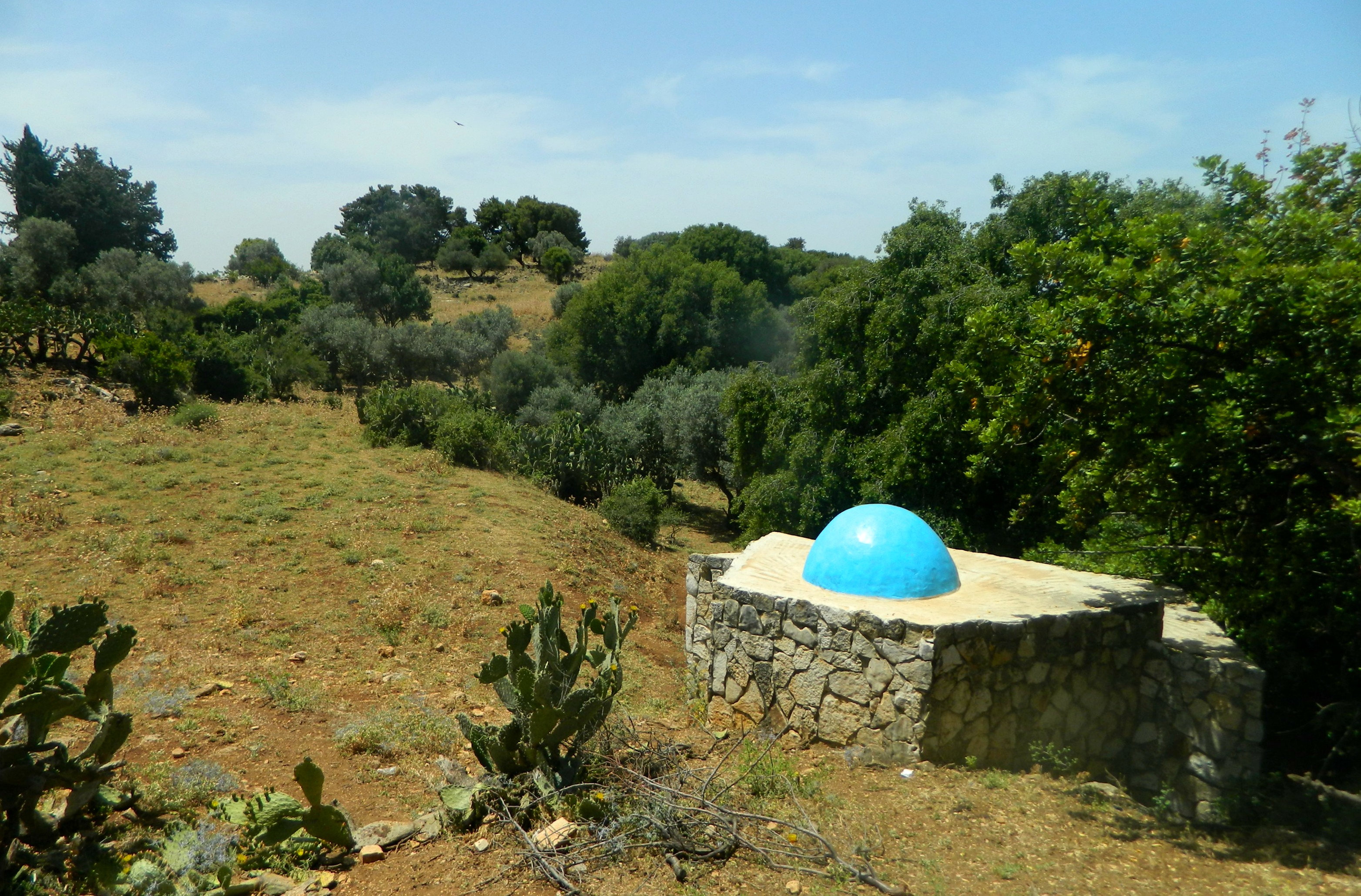
We started out early in the morning, grabbing some borekas and a sfinj (Moroccan doughnut) from the local Peace Bakery. We stopped once along the way, just minutes from Meron, at some ancient graves of Jewish sages, which dot the Galilee with their mystical blue domes. Shortly thereafter, we were driving along the Kinneret (Sea of Galilee) on Israel’s longest highway – Road 90 – and we entered Tiberias from the north. Searching for the visitor information centre in the Old City, we parked and went to pay for parking at the designated machine. When we returned, a parking violation ticket was sitting on the windshield and so we went on a merry chase demanding justice, for our ticket and the parking slip we purchased were time-stamped at the same time, to the minute. We ended up in a government office where we filled out a form protesting our fine and with that hiccup taken care of, started our tour of Tiberias.

The visitor centre building with ruins of an ancient synagogue
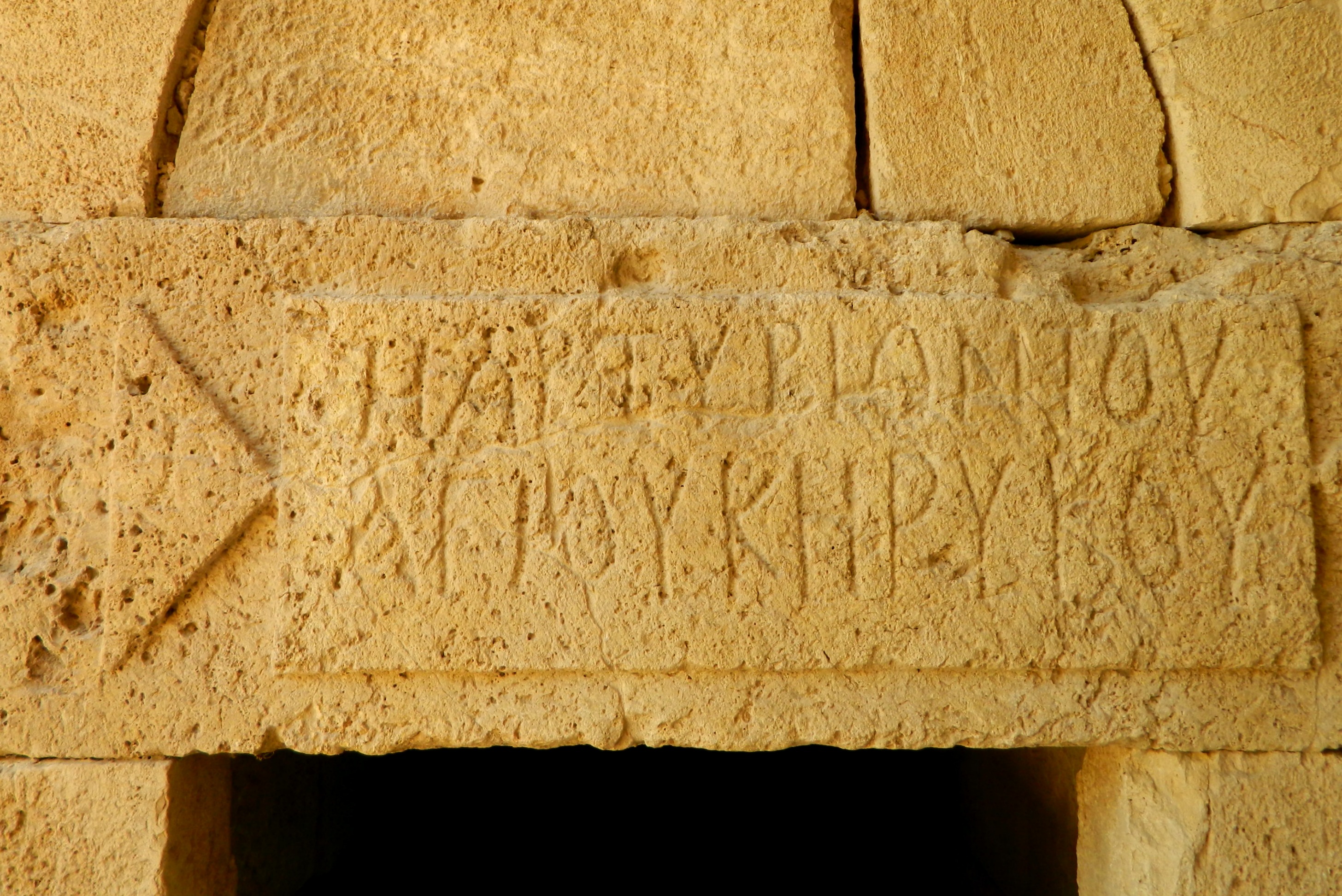
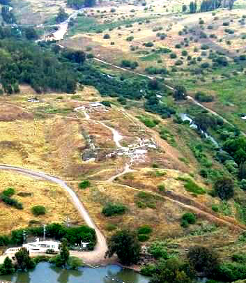
Picking up information at the visitor centre, which is actually housed inside old ruins of an ancient synagogue – one of the city’s thirteen mentioned in the Talmud, we started our walk around the Old City. Right beside the parking lot is the Court of the Jews, the first modern Jewish community founded in 1740 during the era of the Bedouin ruler Daher al-Omar. Surrounding this cobblestone square are a handful of synagogues and yeshivas of various antiquity. The oldest, the Etz HaChayim Synagogue, was built in 1742 by Rabbi Chaim Abulafia of Smyrna and was a major centre for religion in the region for many years. Due to Tiberias’ location on a faultline, the city was wracked numerous times by violent earthquakes, and in 1934 a great flood ravaged Tiberias, permanently reshaping its coastline.
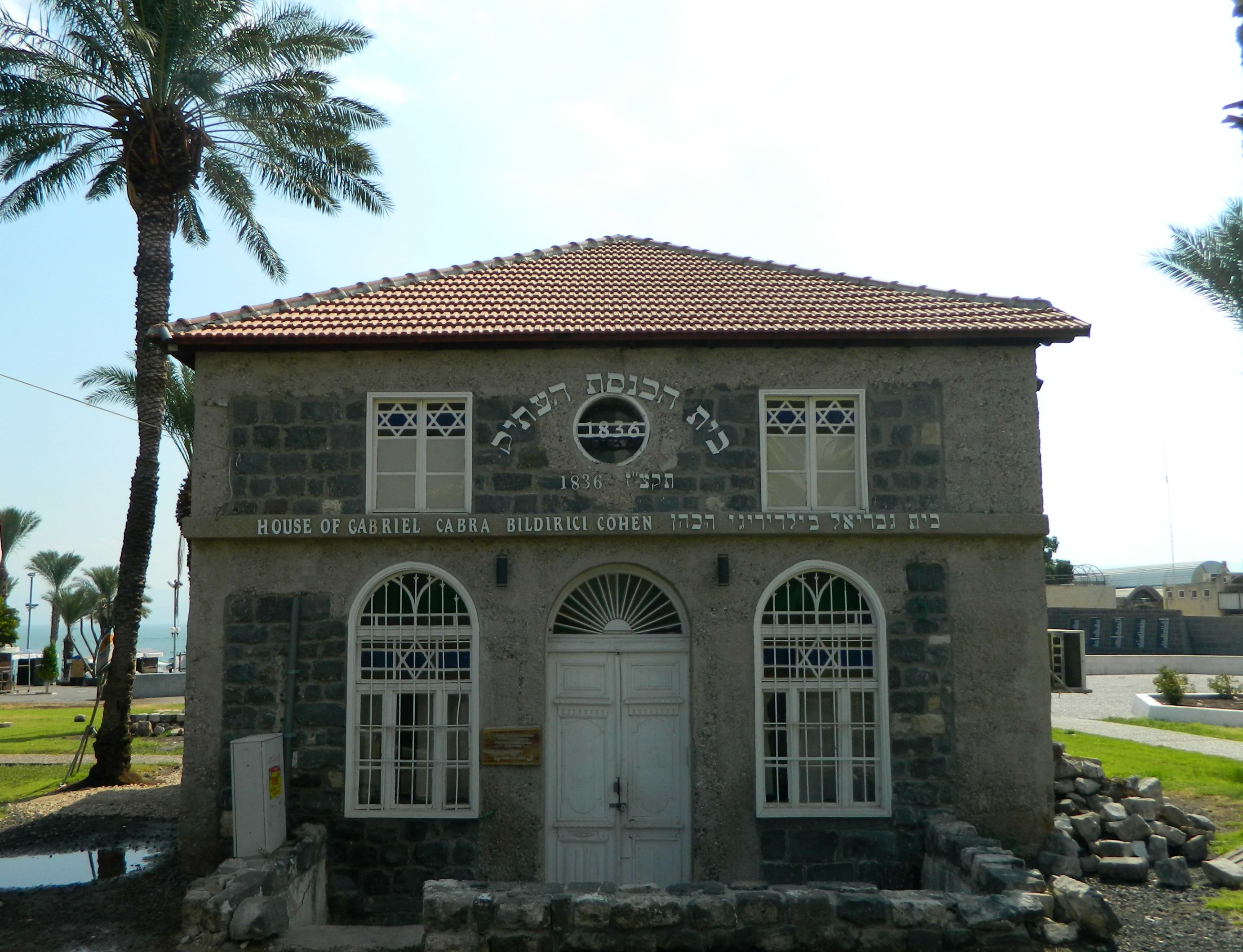
The Old Synagogue from 1836
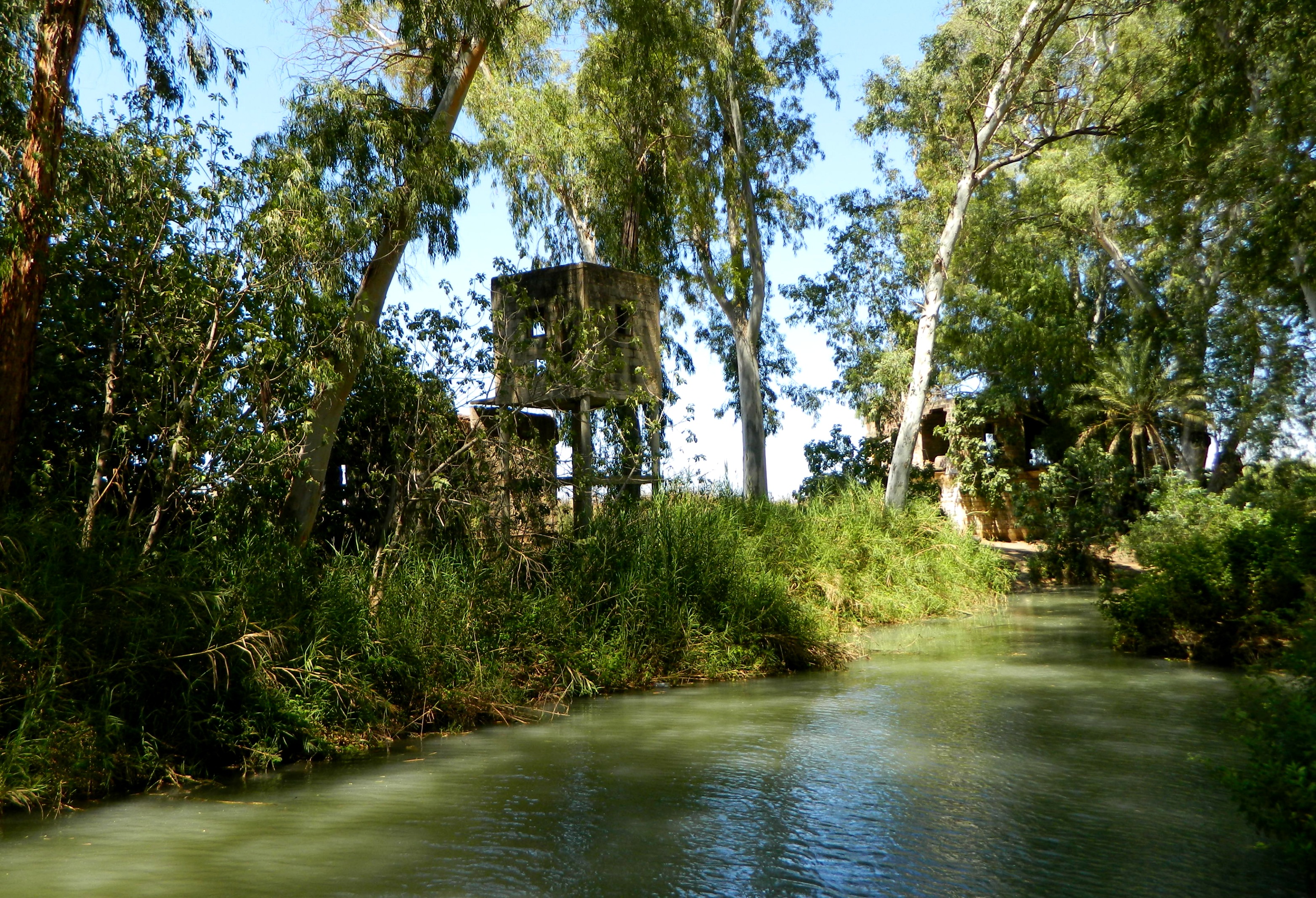
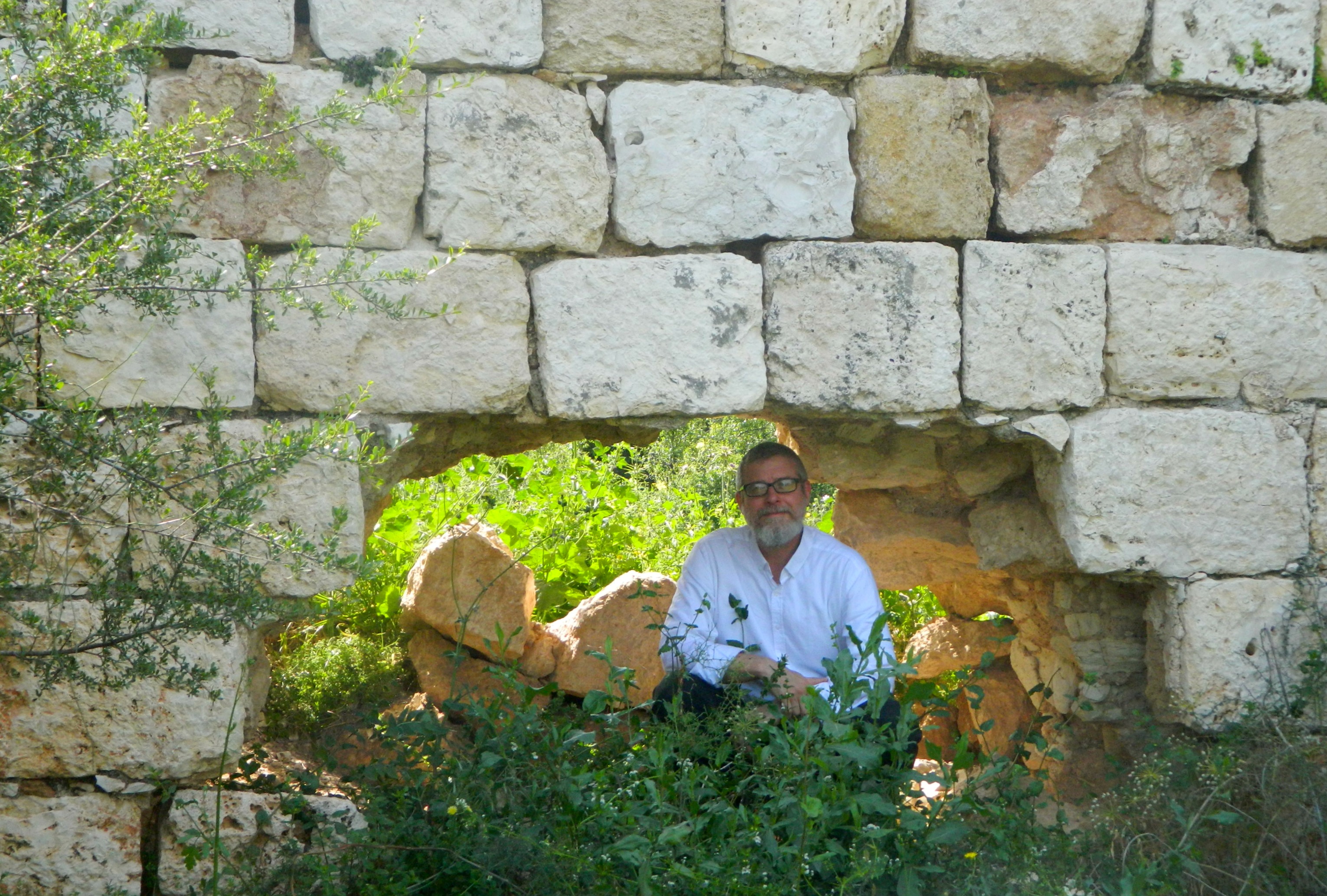
Beyond the synagogue is the gate of the Crusader fortress, a wooden bridge crossing over an empty moat, with the old Jewish quarter now covering the remains of the Crusader fortress. During the Crusader times, the city changed hands a few times before the Mamluks finally drove the Franks permanently out five years after stopping the Mongol invasion some thirty kilometres southwest of the city. Reaching the waterfront, we walked along the boardwalk watching the boats sail against the hazy backdrop of the low mountains on the Golan side of the Kinneret.

Southern end of the Old City with Mount Berniki in the background
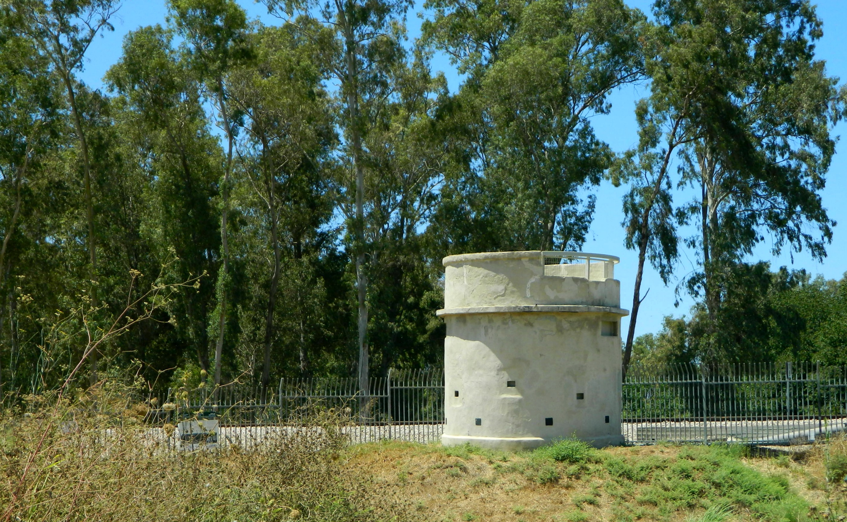
With the water level of the Kinneret being a national concern, Israel’s water company Mekorot installed a water level surveyor on the boardwalk to publicly display the current level. Last post (Yarkon National Park) mentioned how most of the country gets its water, and it’s at the Kinneret where the artifical journey begins. Now it is the summer, Israel’s dry season, so the water level reports are mostly the gradual evaporation of the Kinneret but during the winter and spring, the water levels rise dramatically after heavy storms and there is actually a Twitter account dedicated to reporting the water levels throughout the year: @kinbot.

Mekorot water level surveyor
With the current levels being “below red lines”, it is hard to imagine the flood of 1934 which destroyed a good portion of the city, and there are even markers today which show just how far the water reached on the walls of the lakeside buildings. We peeked into the Tiberias Rowing Club and then passed the Greek Orthodox Monastery whose leaning corner tower has become quite an icon in the Old City. Visiting the rocky, and surprisingly littered, beach we then walked back towards the heart of the city alongside the old Crusader wall (rebuilt by Daher al-Omar), enclosing the city from the south, under the shade of beautiful orange-blossomed royal poincianas.
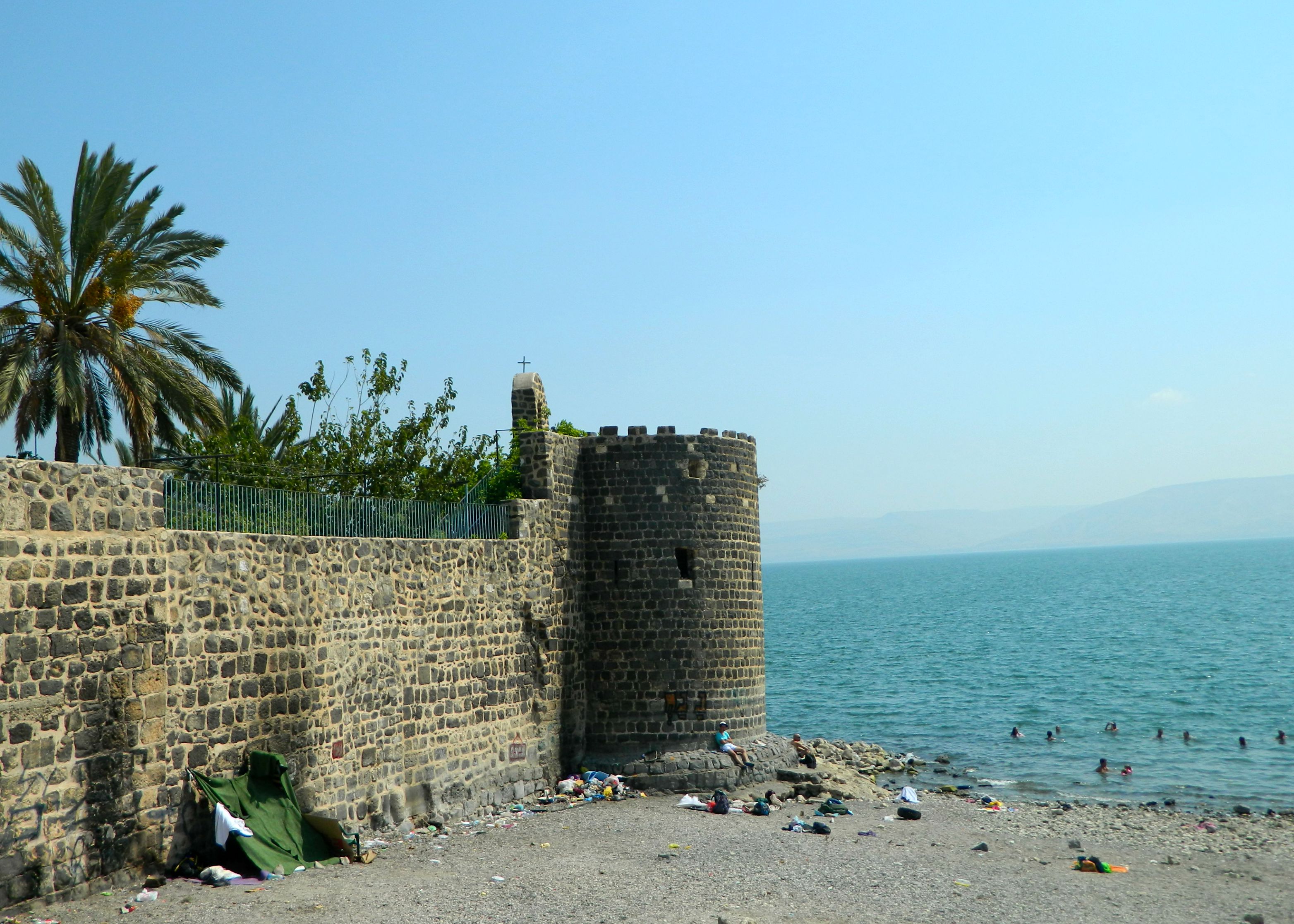
Tiberias’ Leaning Tower
In the shadows of numerous hotels, we found our way to the abandoned al-Omari mosque, hidden behind a strip of closed storefronts. A local informed us that the city plans to renovate the area and make it more of an attraction; I wonder if the mosque will get similar treatment.

al-Omari mosque
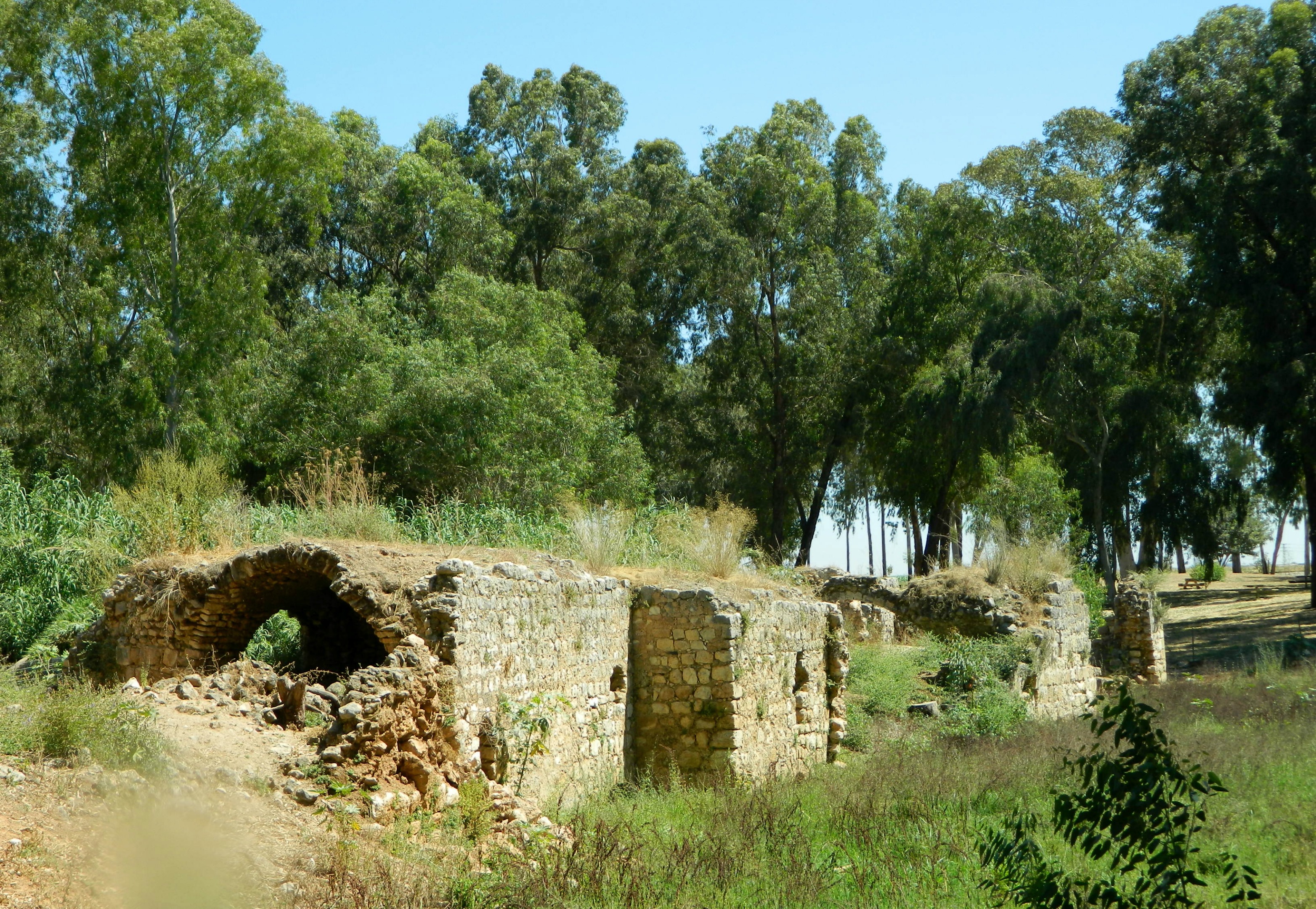
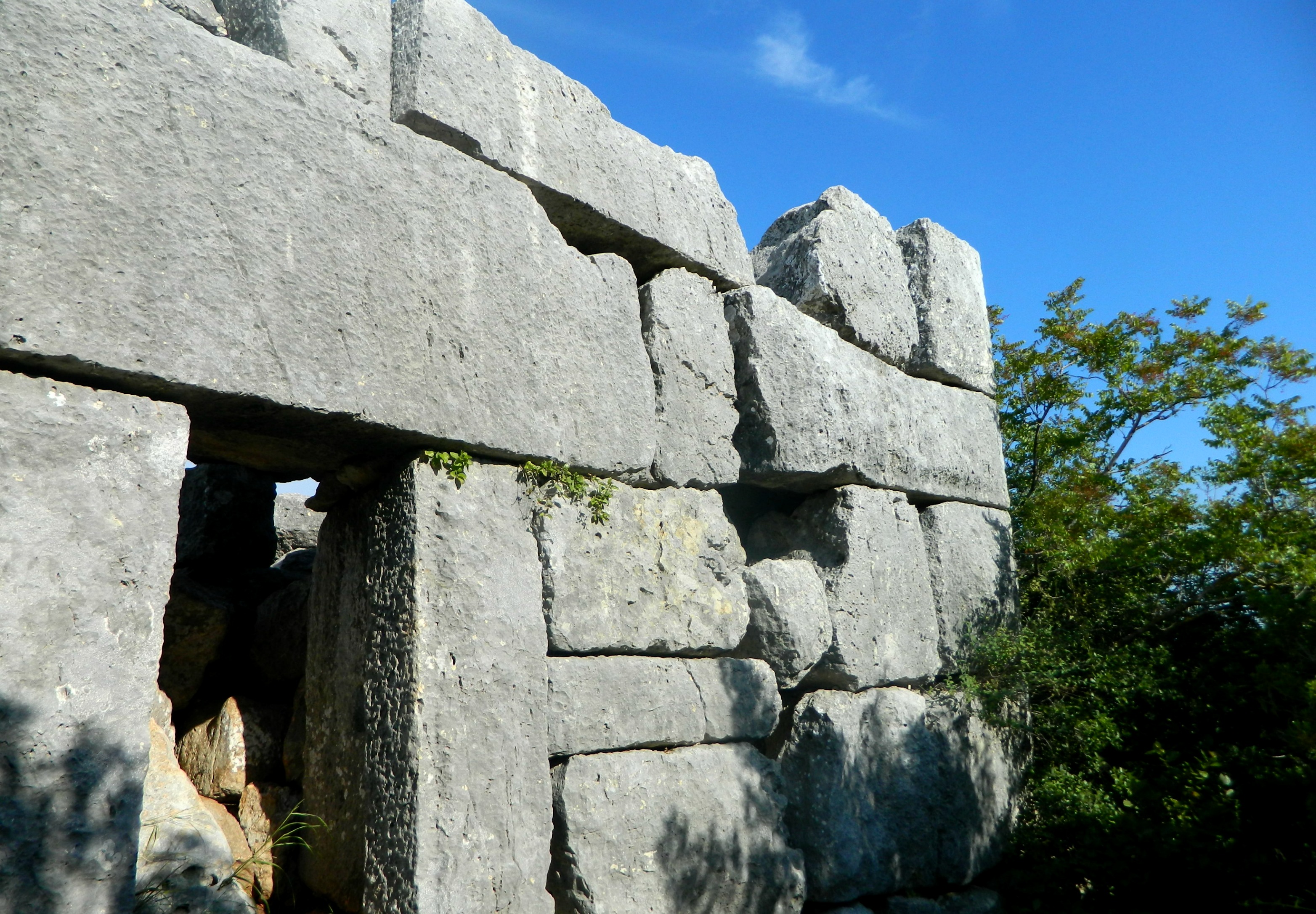
We continued heading north, walking among the dark grey stone buildings until we reached the Saraya. A large Ottoman government building, sarayas can be found in several old Israeli cities including Tzfat (Safed) and Akko, where the regional commands was located. Tiberias’ Saraya is two floors; the upper being the governor’s residence and office while the lower floor contained jail cells and stables for the Ottoman postal service. Slightly further north is the Fortress built by Daher al-Omar’s son with its impressive tall basalt walls and round corner towers.

Tiberias Fortress
When we were done looking around the fortress area, and we were sure we saw everything of interest in the Old City, we returned to the car for the second leg of our Tiberias trip – coming next!