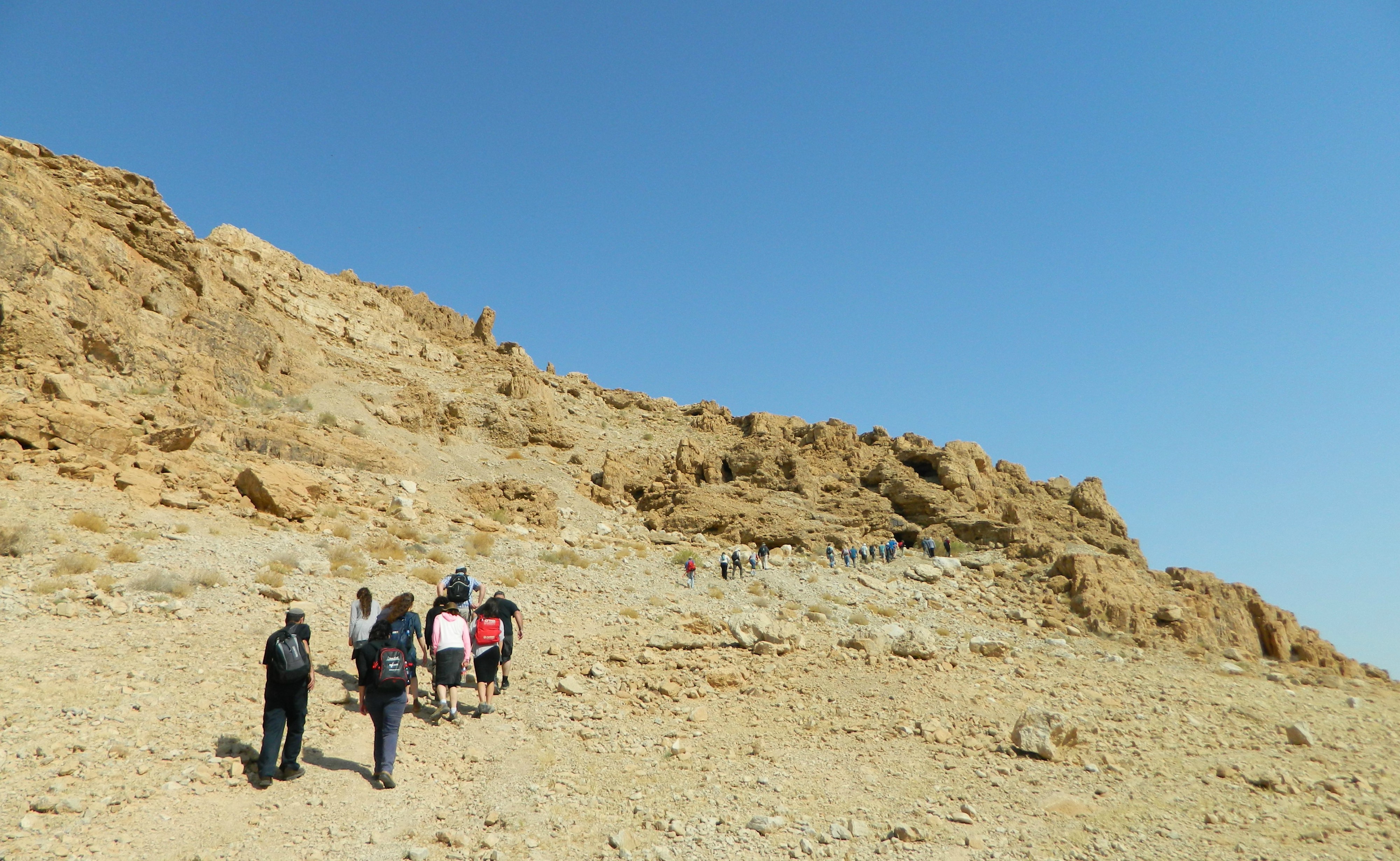
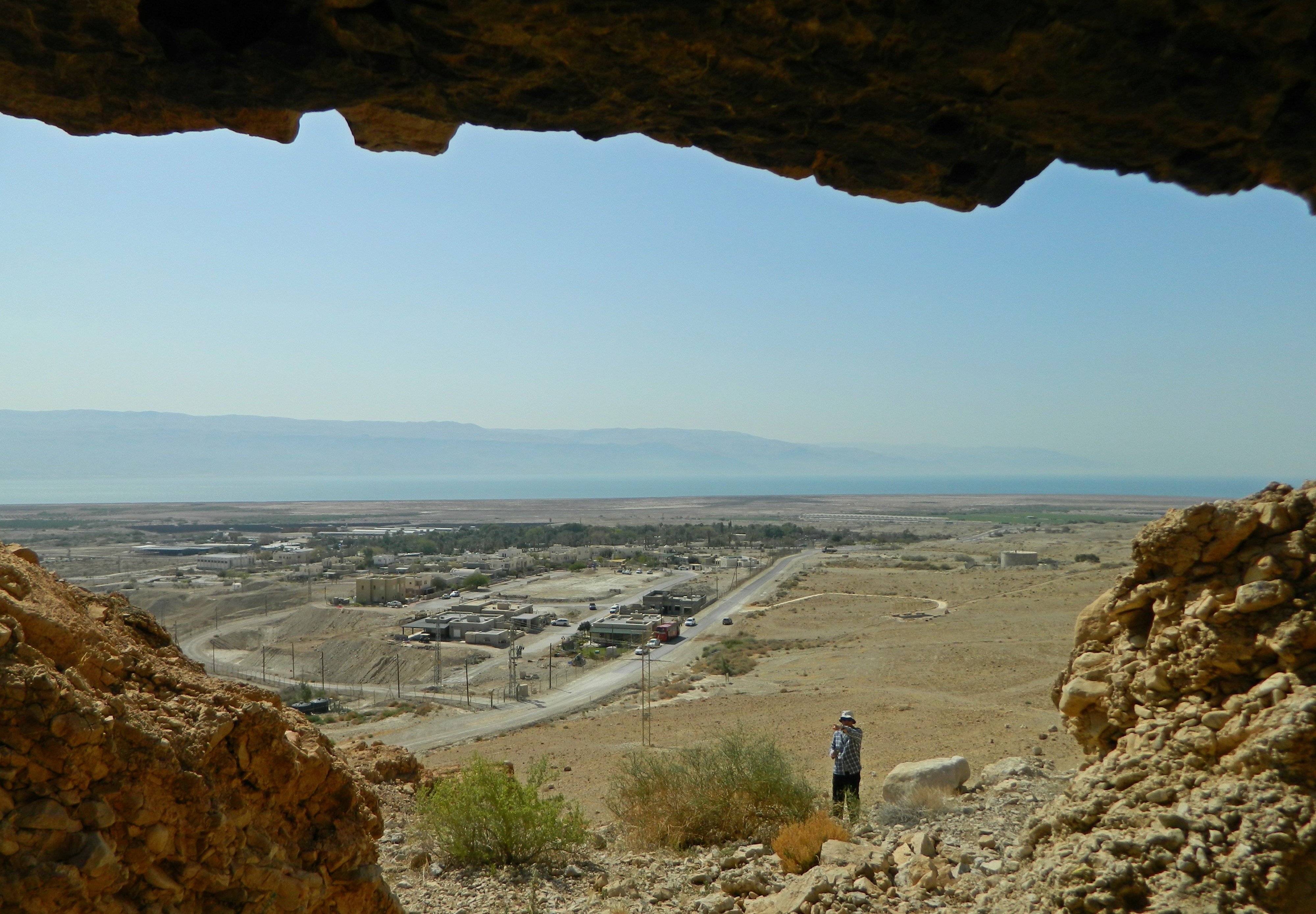
The day following my three-day trip to the Golan and Galilee had me up and active early in the morning, on a Bar Ilan University’s Archaeology department trip to some Crusader sites in the Jerusalem area. Obvious sites would be Aqua Bella (Ein Hemed) or Castel, of which I have visited neither to date, but we were specifically going to more obscure ruins. The first on our list was the Crusader castle at Latrun, known as Toron des Chevaliers (French for “Castle of the Knights”), and our bus brought us to it with no delay.
Toron des Chevaliers (Latrun)
We sat outside the modern Latrun Monastery (built in 1890) while our guide, Dr Jonathan Rubin, gave us the necessary background material to accompany the tour. While we were sitting I noticed a curious monument dedicated to three medieval characters from the three Abrahamic religions: the Jewish sage Rashi, the Christian abbot Bernard of Clairvaux and Muslim sultan Saladin. From there we started on the short trail to the ruins, fire-fighting planes and a pair of falcons flying overhead, the morning view spread out before us as we climbed the gradual hill. We took our first stop at a standing structure that was reworked with concrete sometime during the last century, an outpost of the Jordanian army.
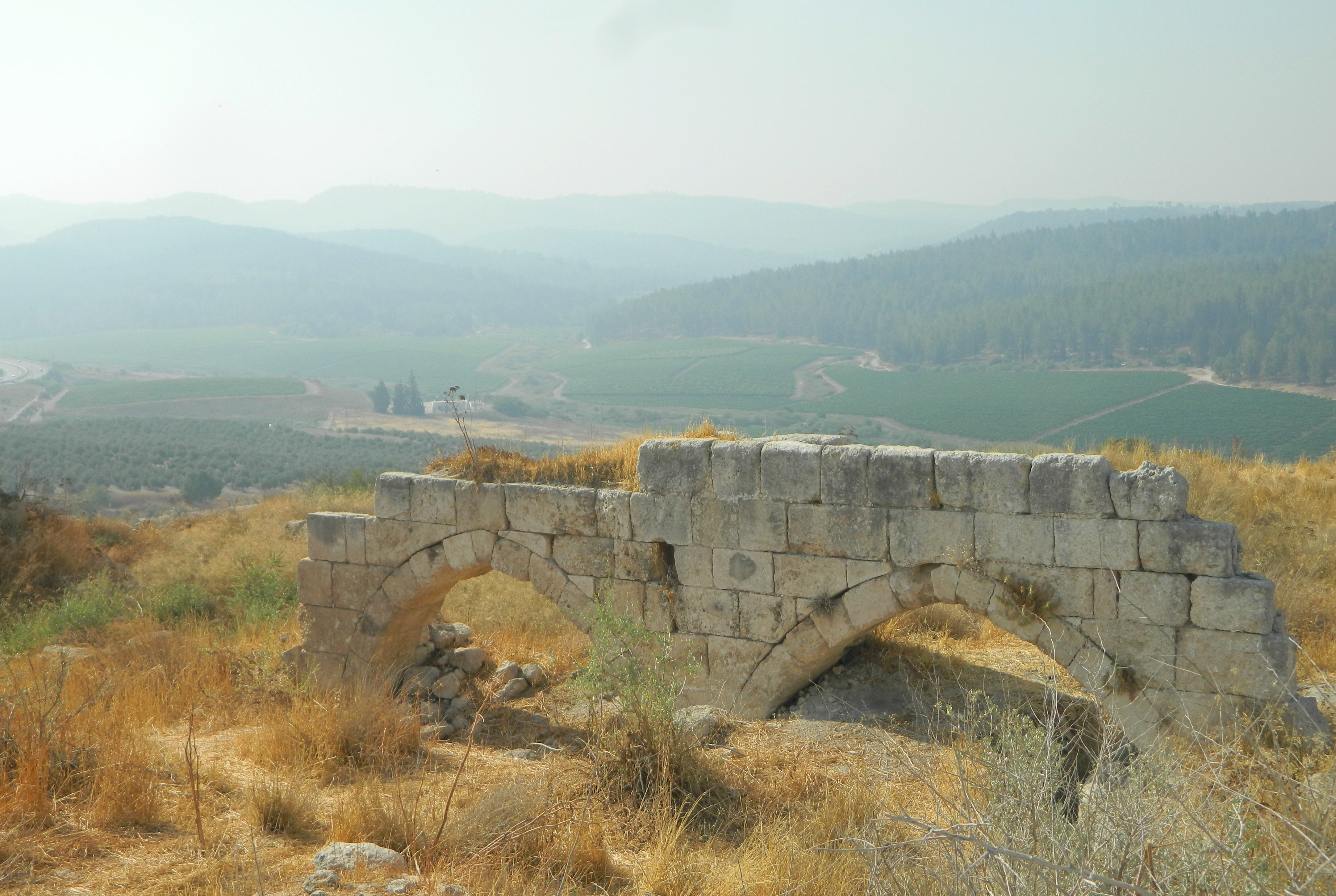
Great Hall of Toron des Chevaliers
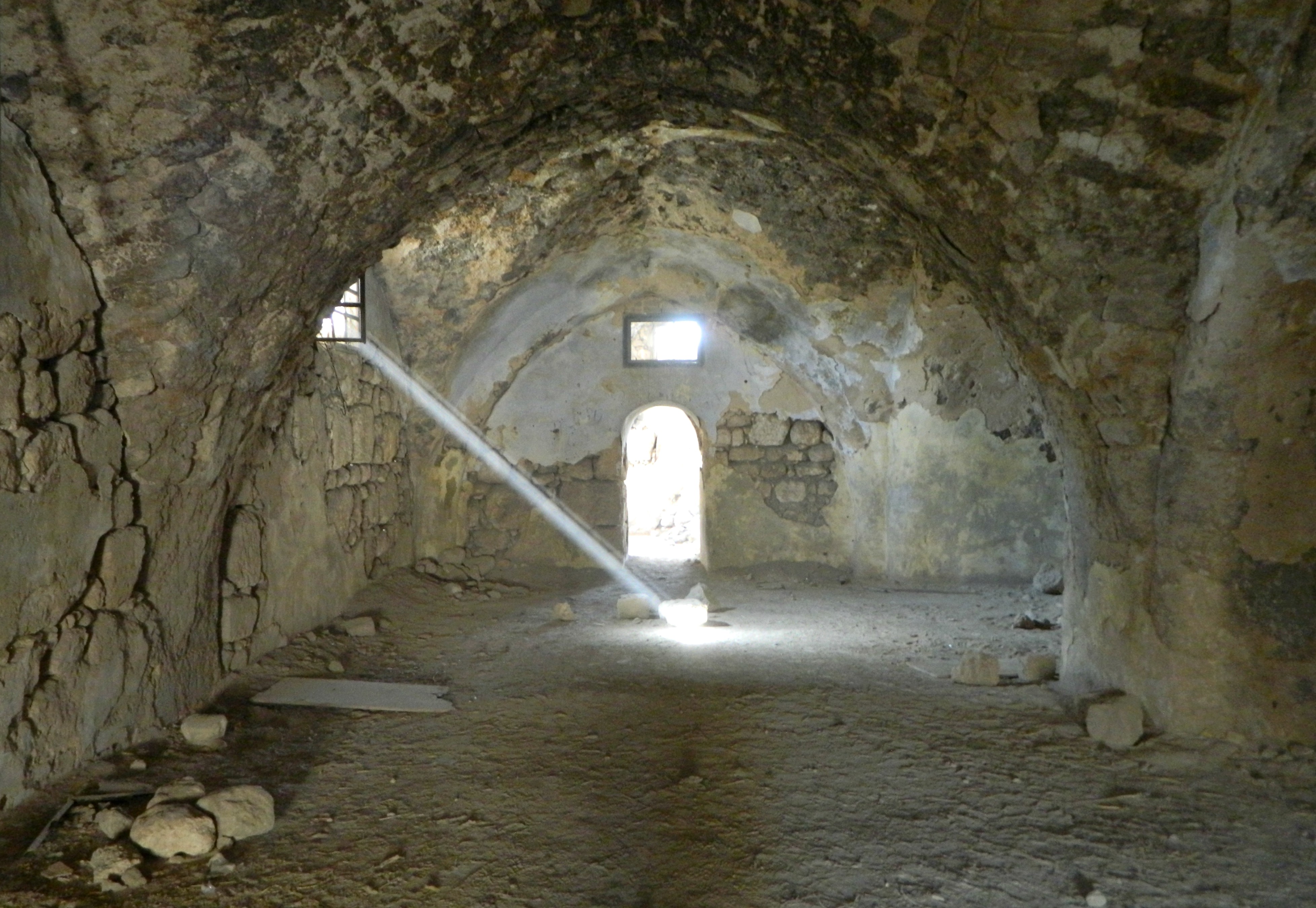
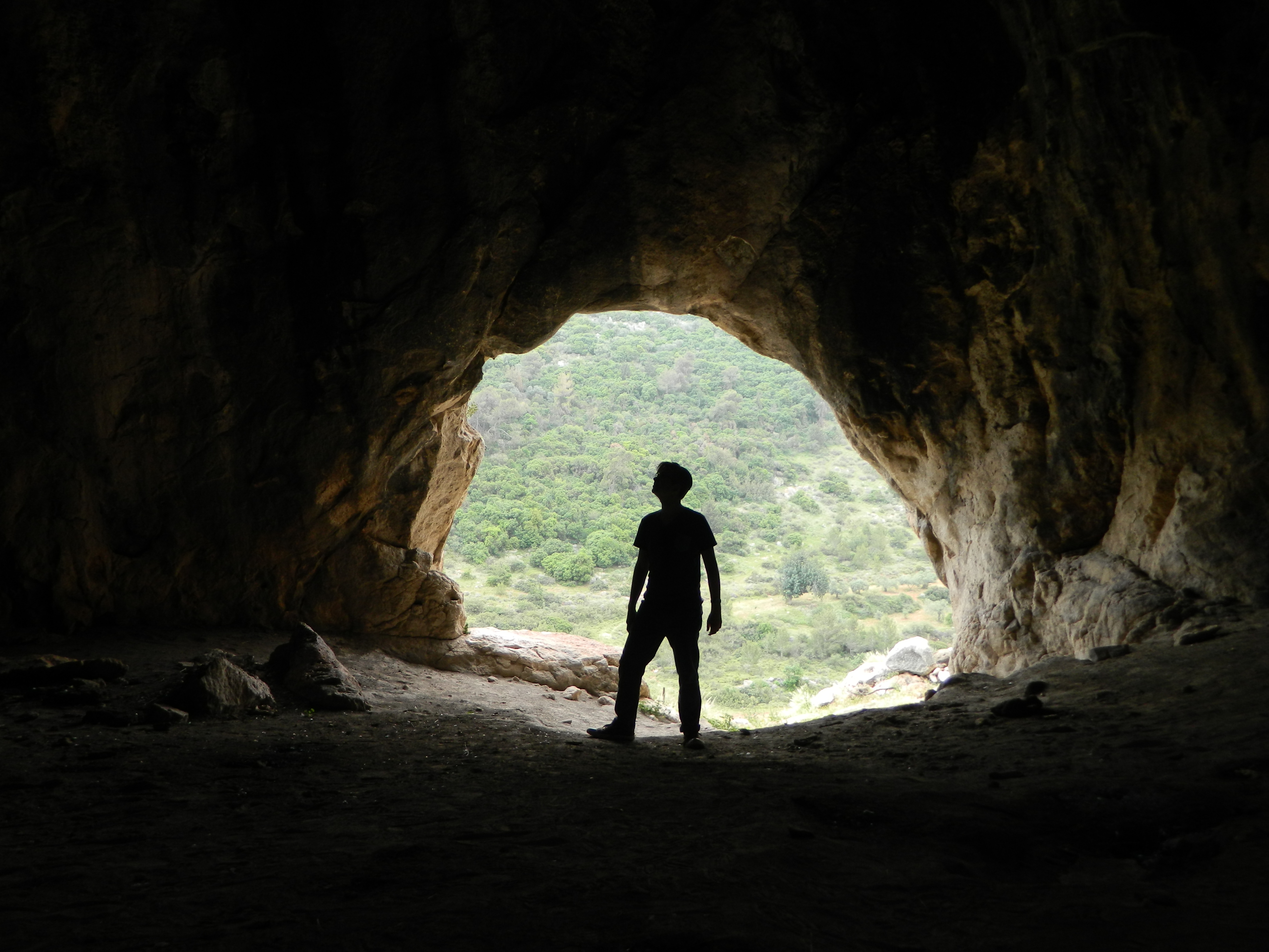
Walking among the golden-dead vegetation we identified a handful of the original Crusader ruins, occupied by the Templar knights and eventually surrendered to the aforementioned Saladin who had the castle razed to the ground. Unfortunately, after the destruction of 1191 the castle was never rebuilt and many of the building stones were removed as spolia (or re-purposing stones for later construction). Armed with fragmented plans we retraced the overgrown ruins, the highlight being the above arched wall and the vaulted great room – the sunlight streaming in made for an ethereal scene.
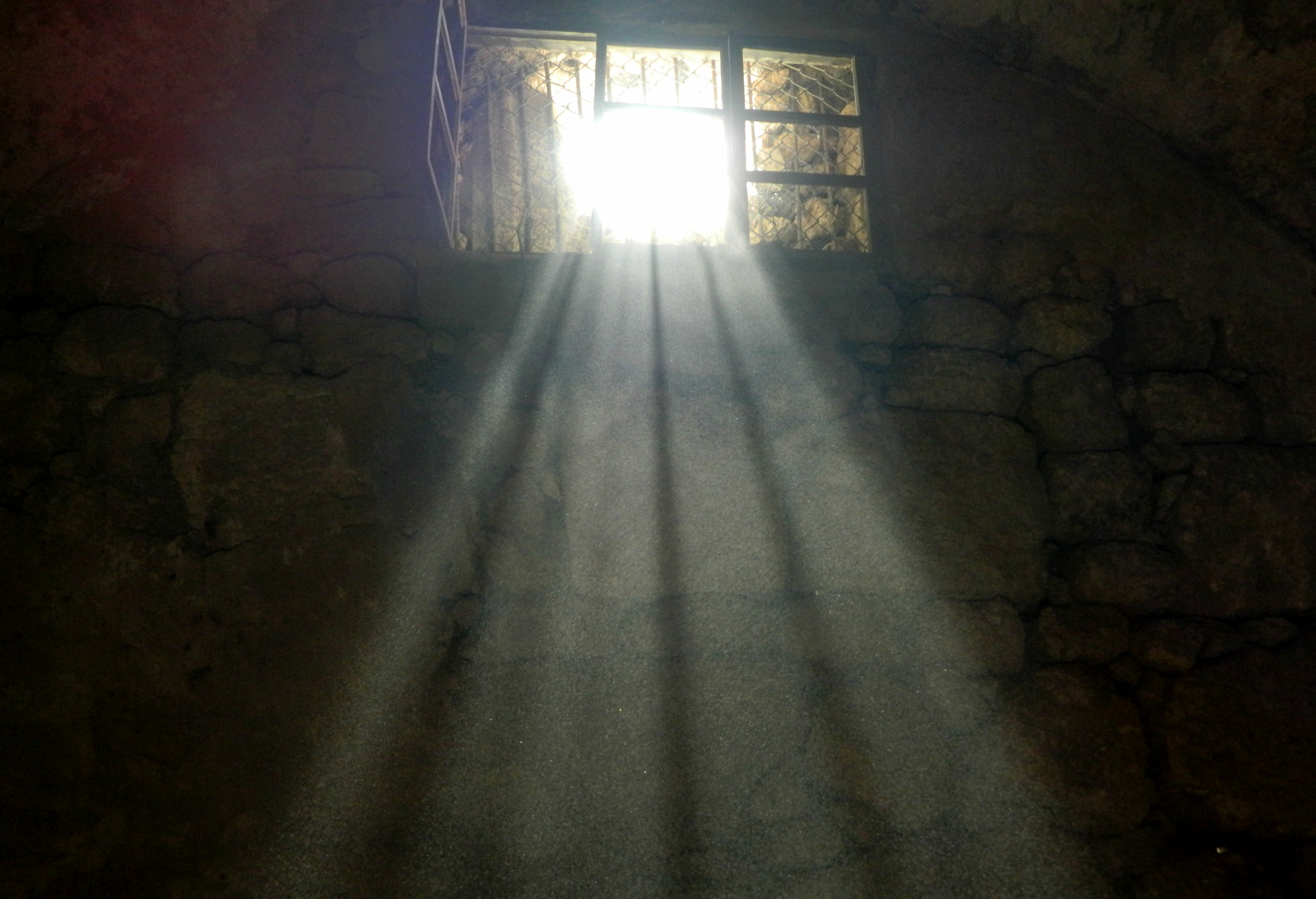
Light filtering in
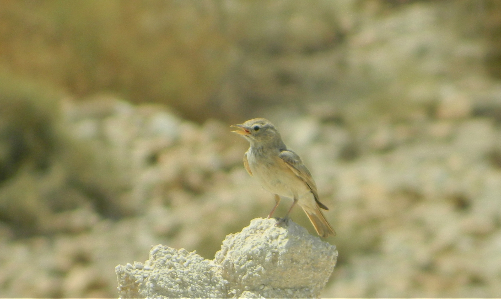
While exploring I spotted a Sardinian warbler on a dry plant, but nothing else interesting in terms of fauna. Circling around the southern edge of the ruins, we stamped our way through the thorny undergrowth on our way out for we had other ruins to see that day. Whilst waiting for all at the bus, one of the esteemed members of our group gave us a brief lecture on capers, which he found growing along the trail. I have made the mistake of confusing the caper blossom with that of a passiflora (ie passionfruit), and when researching them both online, I found that even their fruits look quite similar. Boarding the buses we were then driven to the next site on our list, the Church of the Crusaders in Abu Ghosh, held within the confines of the Benedictine Monastery.
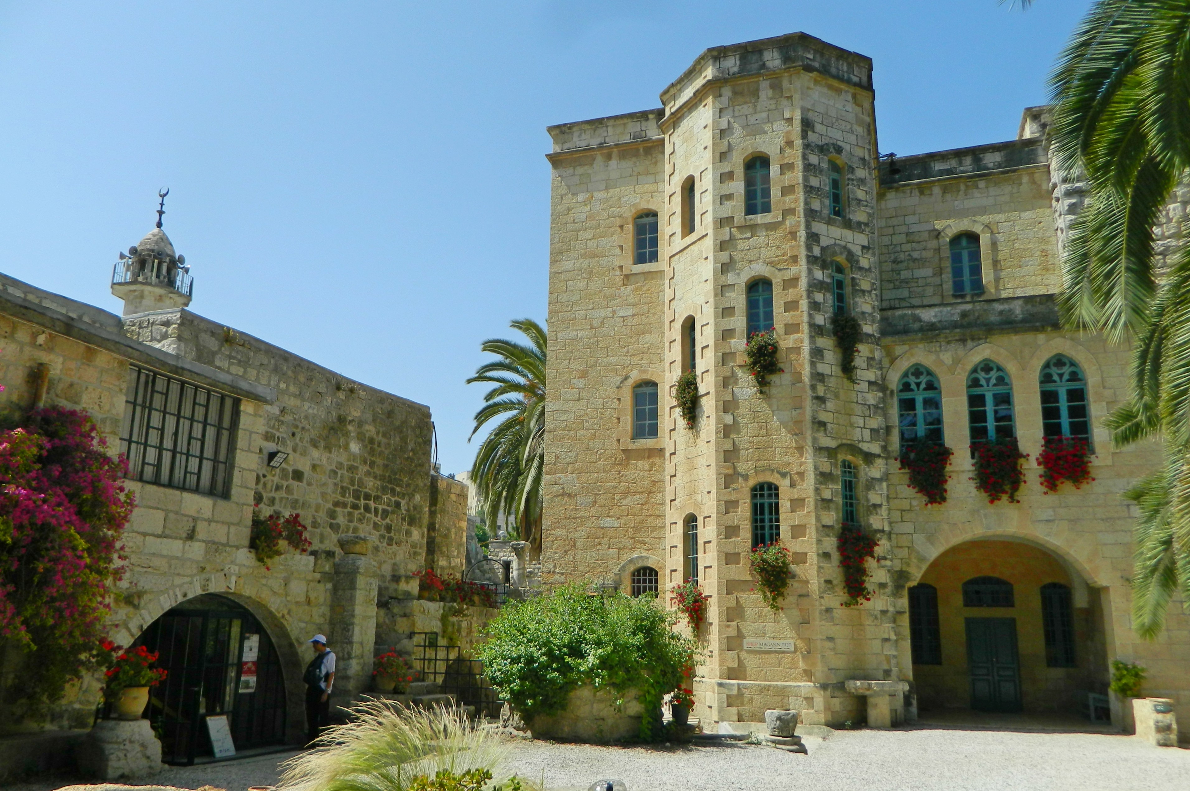
Church of the Crusaders in Abu Ghosh
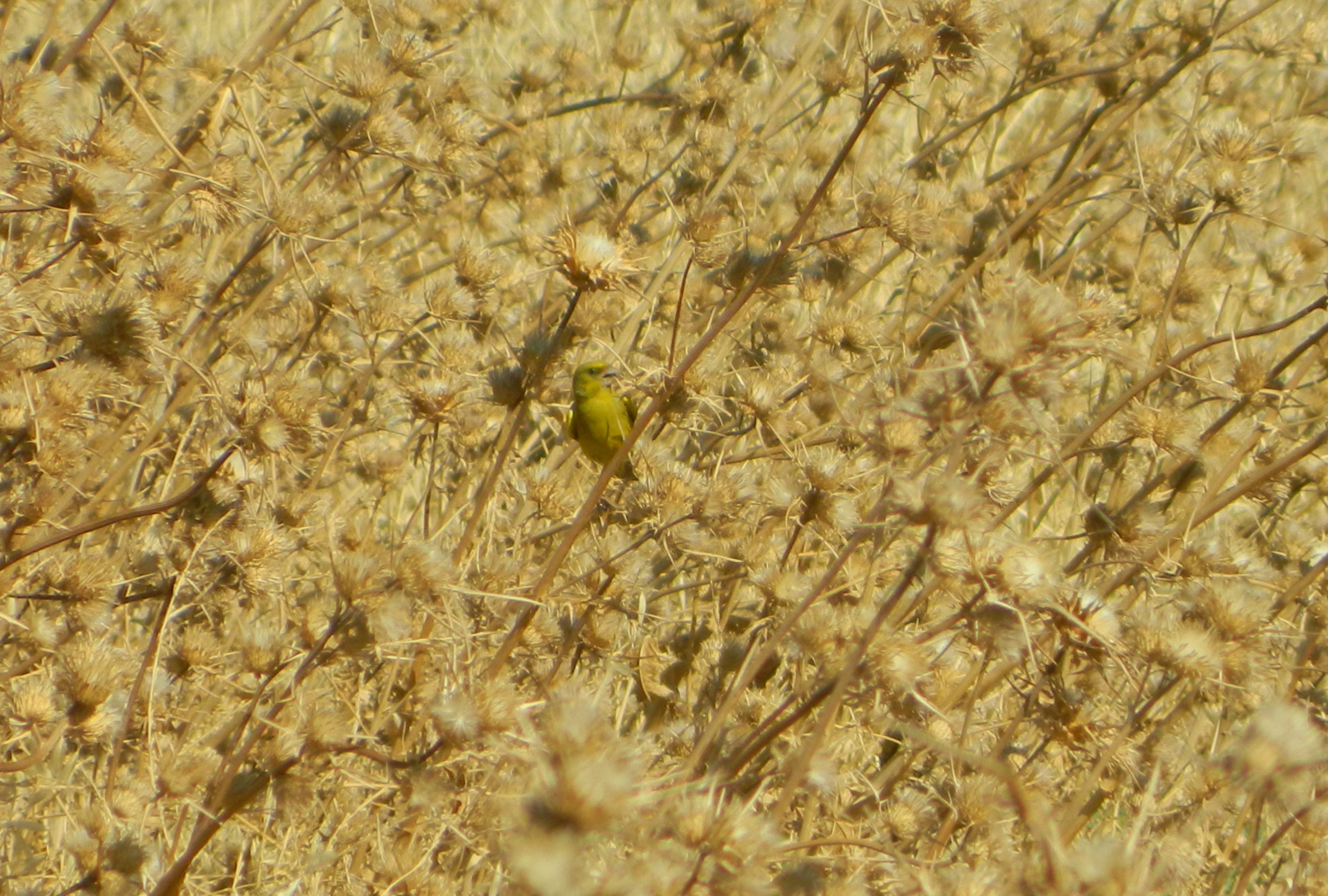
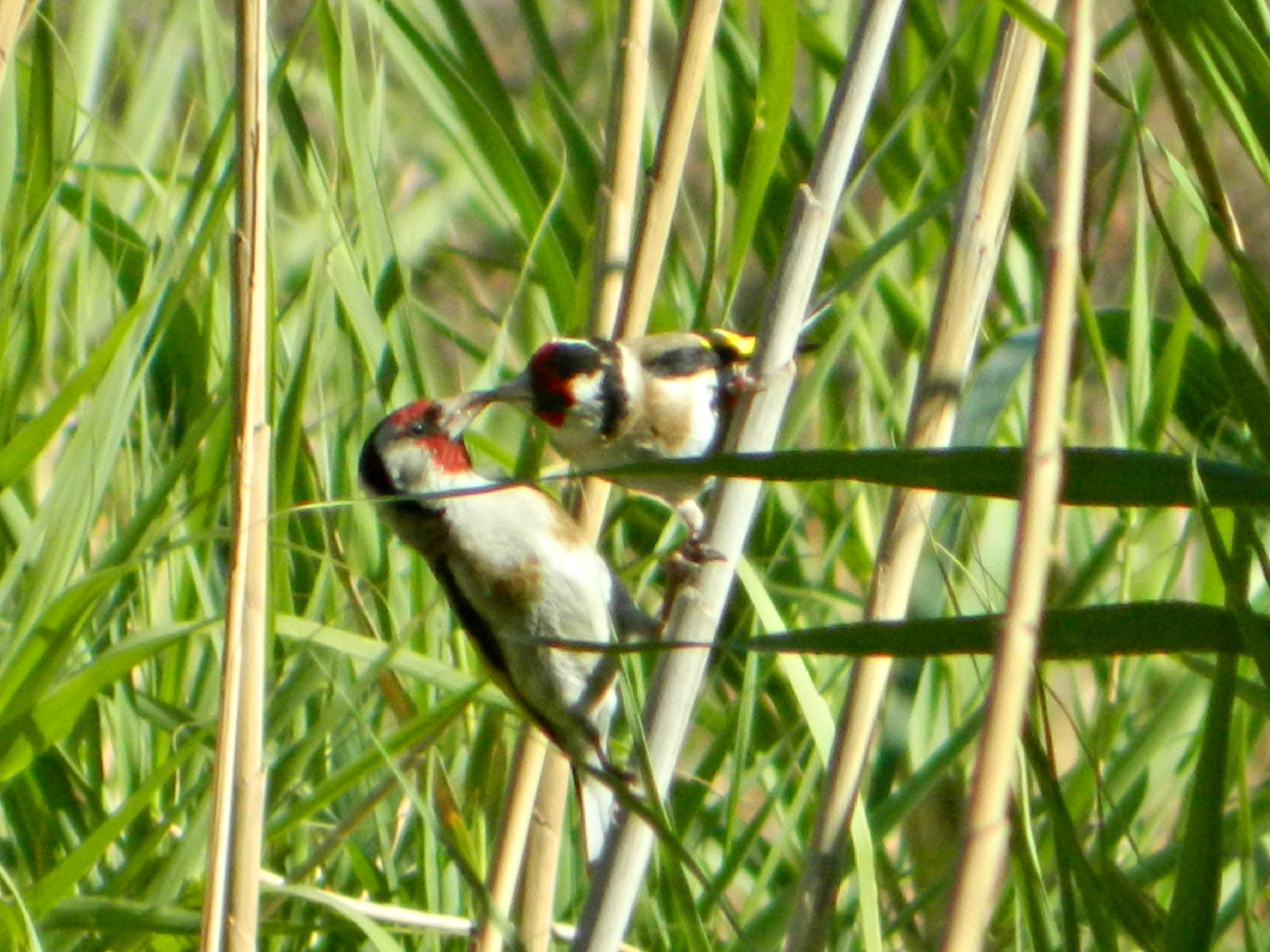
While Abu Ghosh is perhaps most famous for its hummus, the Crusader ruins (restored in the early 1900s) were quite impressive. The monastery grounds were quiet and well-kept, and the few Trappist abbots walking to and fro in their spotless white robes. As we settled in a secluded corner to learn about the site from Dr Rubin, I had plenty of distractions with a healthy number of songbirds flitting about, filling the air with their sweet song.
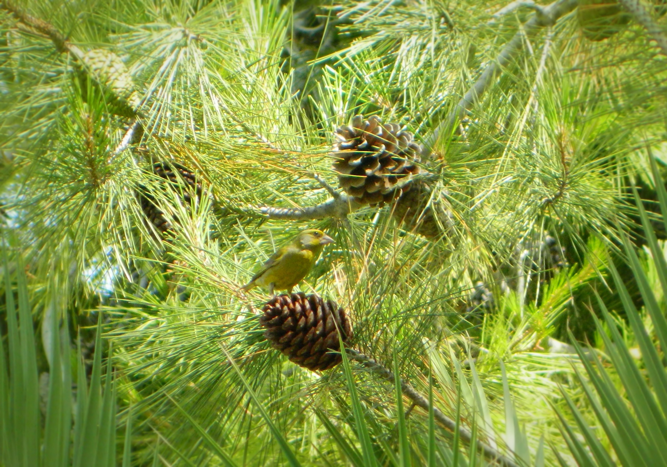
Greenfinch eating from a pinecone
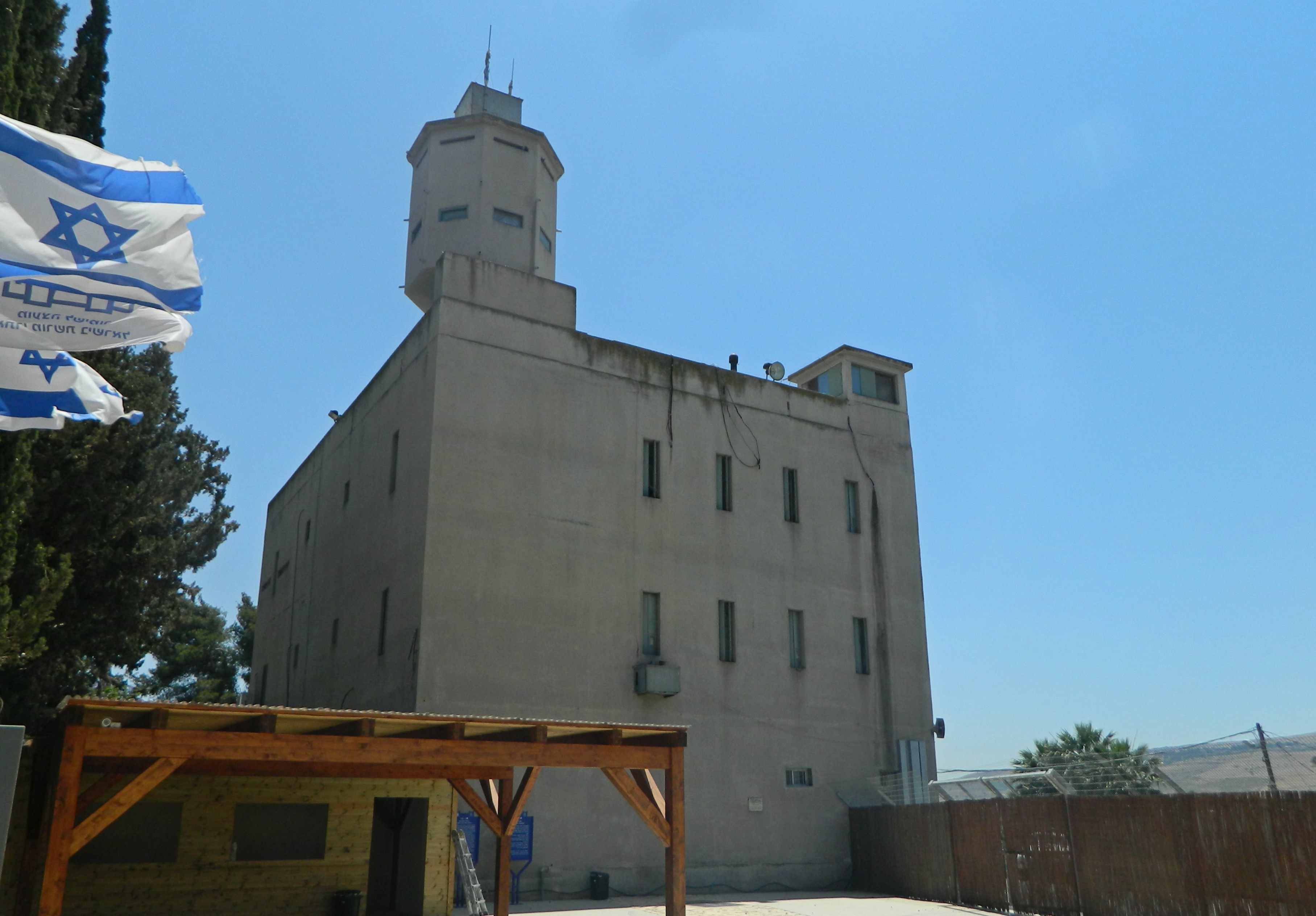
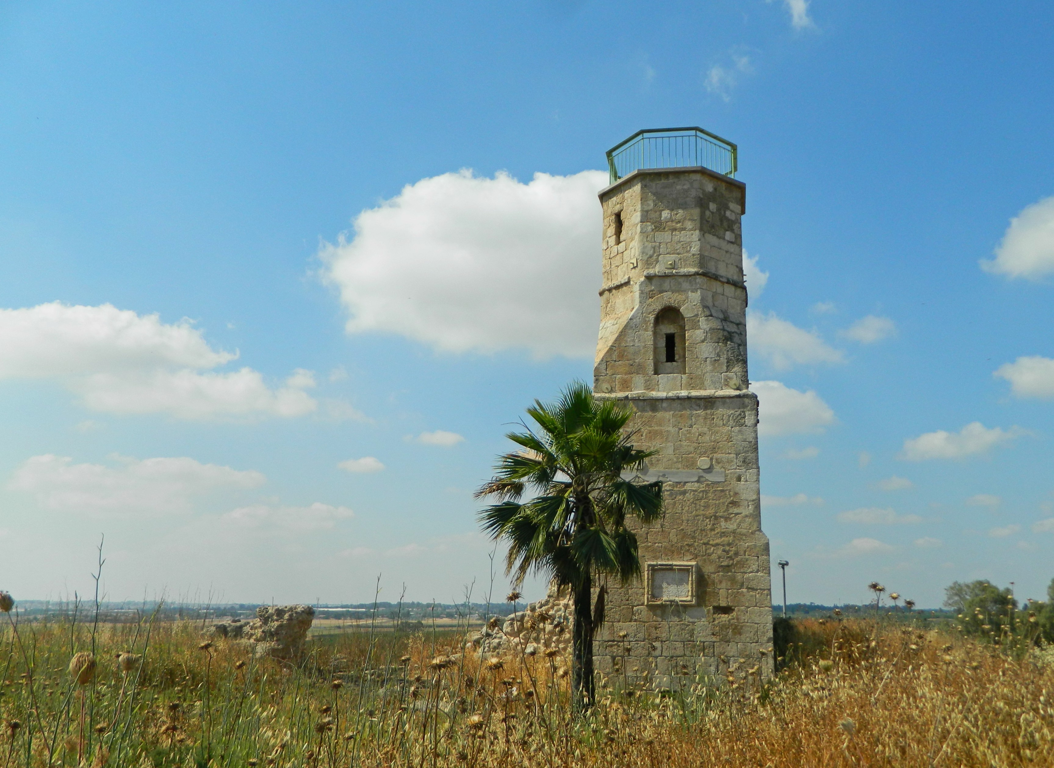
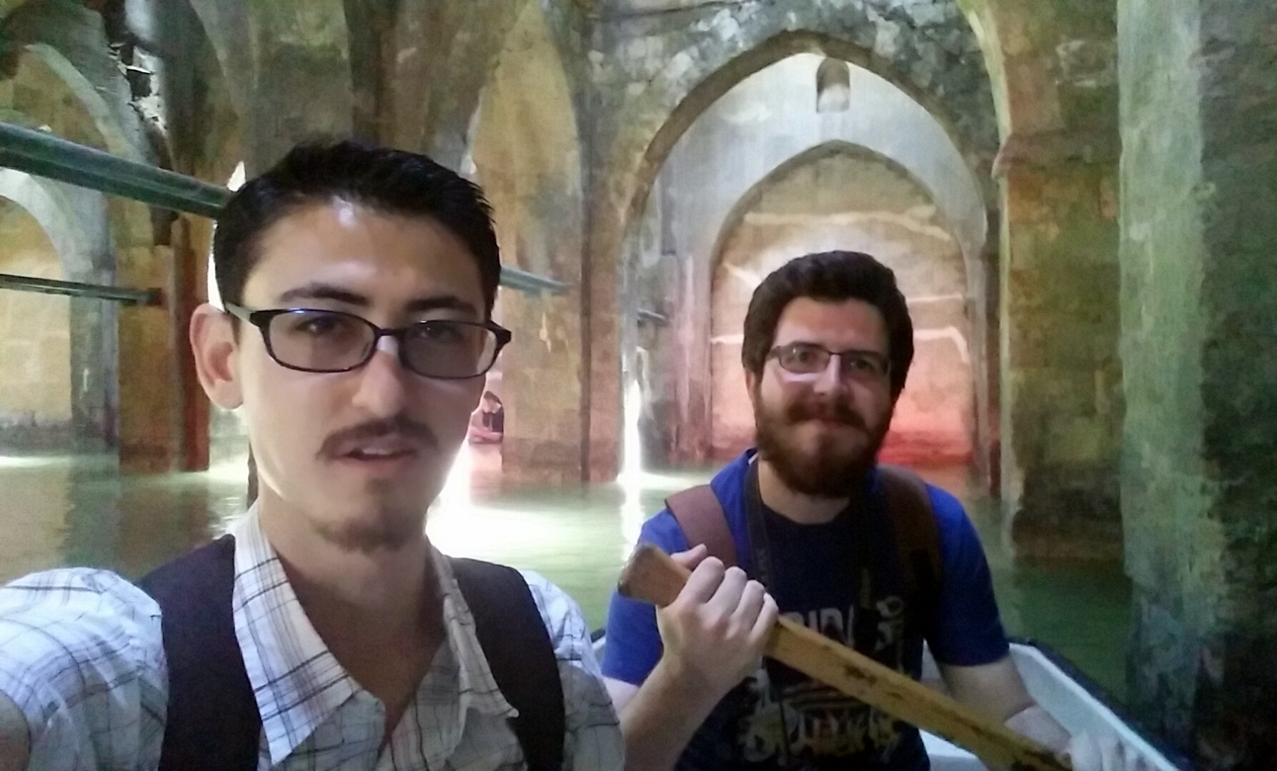
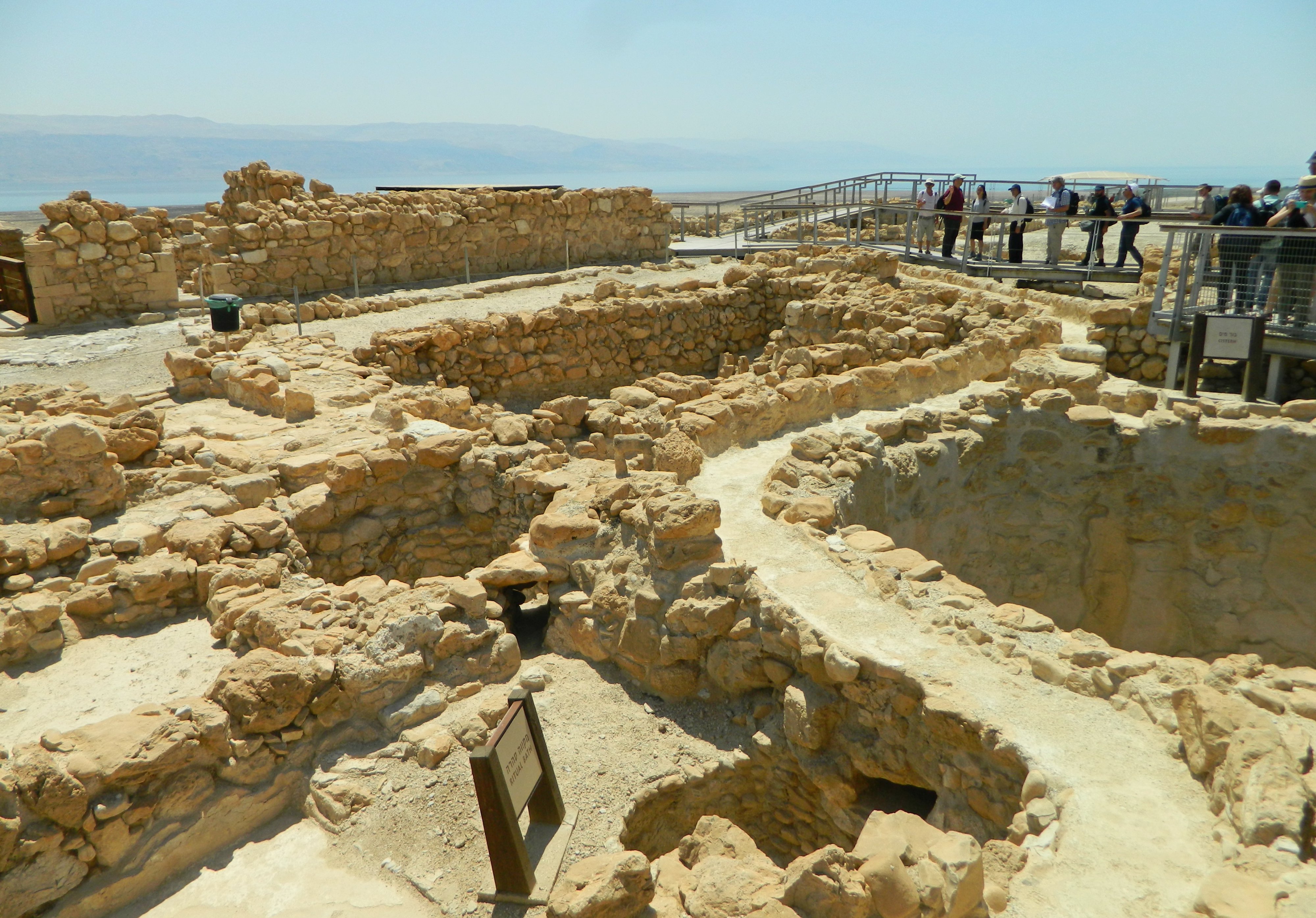
The building’s origins date to the Roman times when a large cistern was constructed over an underground spring, an eared tablet citing the Tenth Legion (which was camped in the area outside Jerusalem) still visible in the wall. A thousand or so years later a Frankish church was built over the cistern, which was subsequently turned into the crypt, and extravagant frescoes were illustrated on the walls. Controlled by the Hospitallers, a fellow Order of the Templars, the church was conquered by Saladin but not destroyed. Since restored, the church has been instilled with new life, with visitors of all religions visiting to see the original Crusader-era frescoes on the walls in the Gothic-vaulted chapel. Leaving the dominion of the church, we passed the old mosque of Abu Ghosh and then rode our tour bus out of the village, passing the expansive Akhmad Kadyrov Mosque – Israel’s second-largest mosque, a $10 million project largely funded by the controversial ruler of Chechnya, Ramzan Kadyrov. Our next stop was Nabi Samuel located on a hilltop just north of Jerusalem, not far from Ramot Forest.
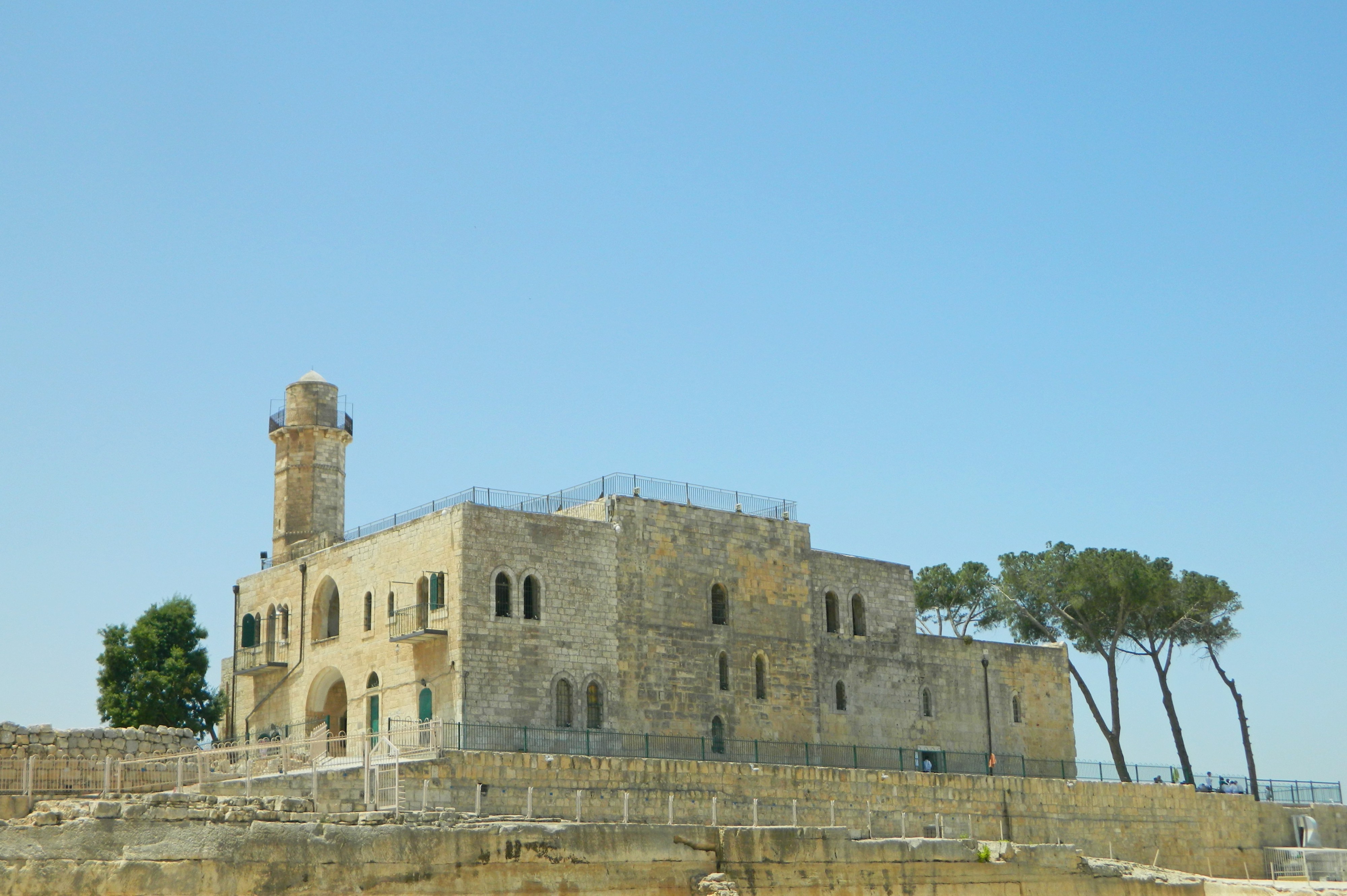
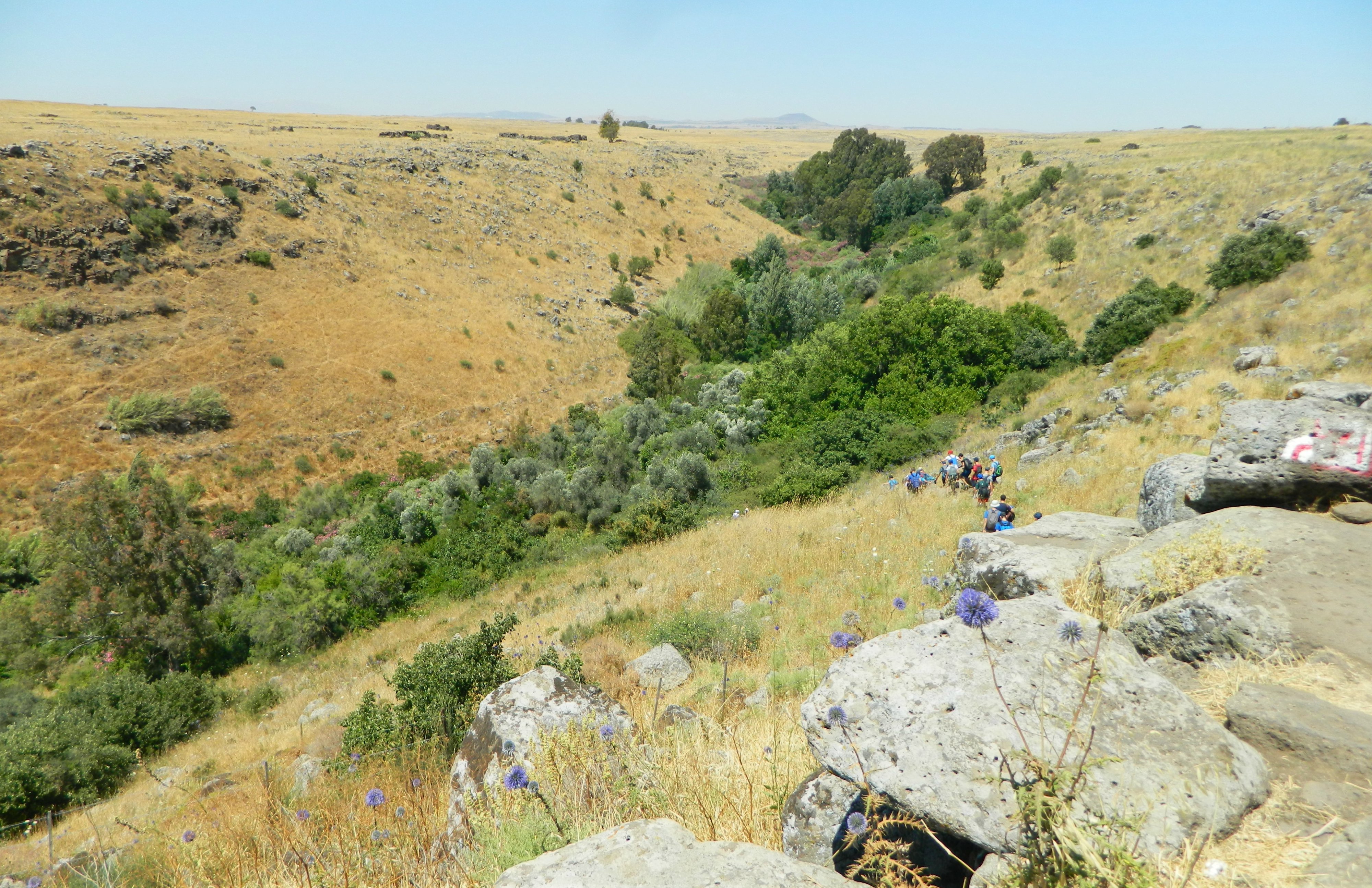
Nabi Samuel
Disembarking outside, we gained entrance to the national park and began our tour by breezing through the northeast corner – the “high place” composed of structures for hosting pilgrims and more. According to all three Abrahamic faiths, the biblical prophet Shmuel/Samuel/Samwil was buried on this hilltop and thus there are aspects of all three religions at the site. Sitting underneath olive trees at the edge of the site, Dr Rubin gave forth the necessary information for us to continue exploring the site – focusing on the unique architecture (especially the Crusader church of St Samuel being cross-shaped) and the importance of the site throughout the Middle Ages for all three faiths. In class, Dr Rubin told us about a Renaissance Jew by the name of Meshullam from Volterra visiting Nabi Samuel in the 1480s, and of course, the famous Medieval Jewish traveler Benjamin of Tudela visited Nabi Samuel as well.
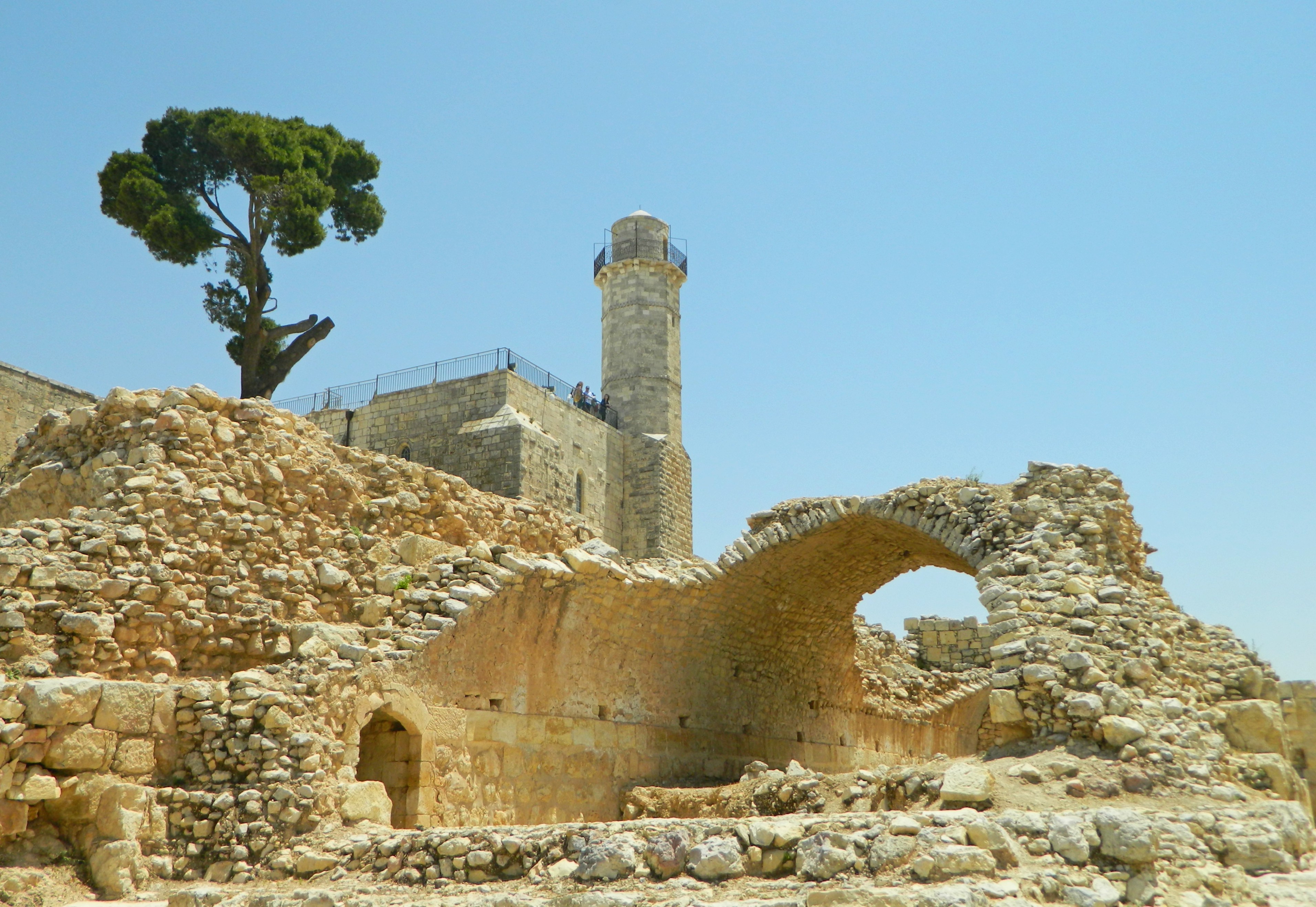
Vaulted Crusader ruins
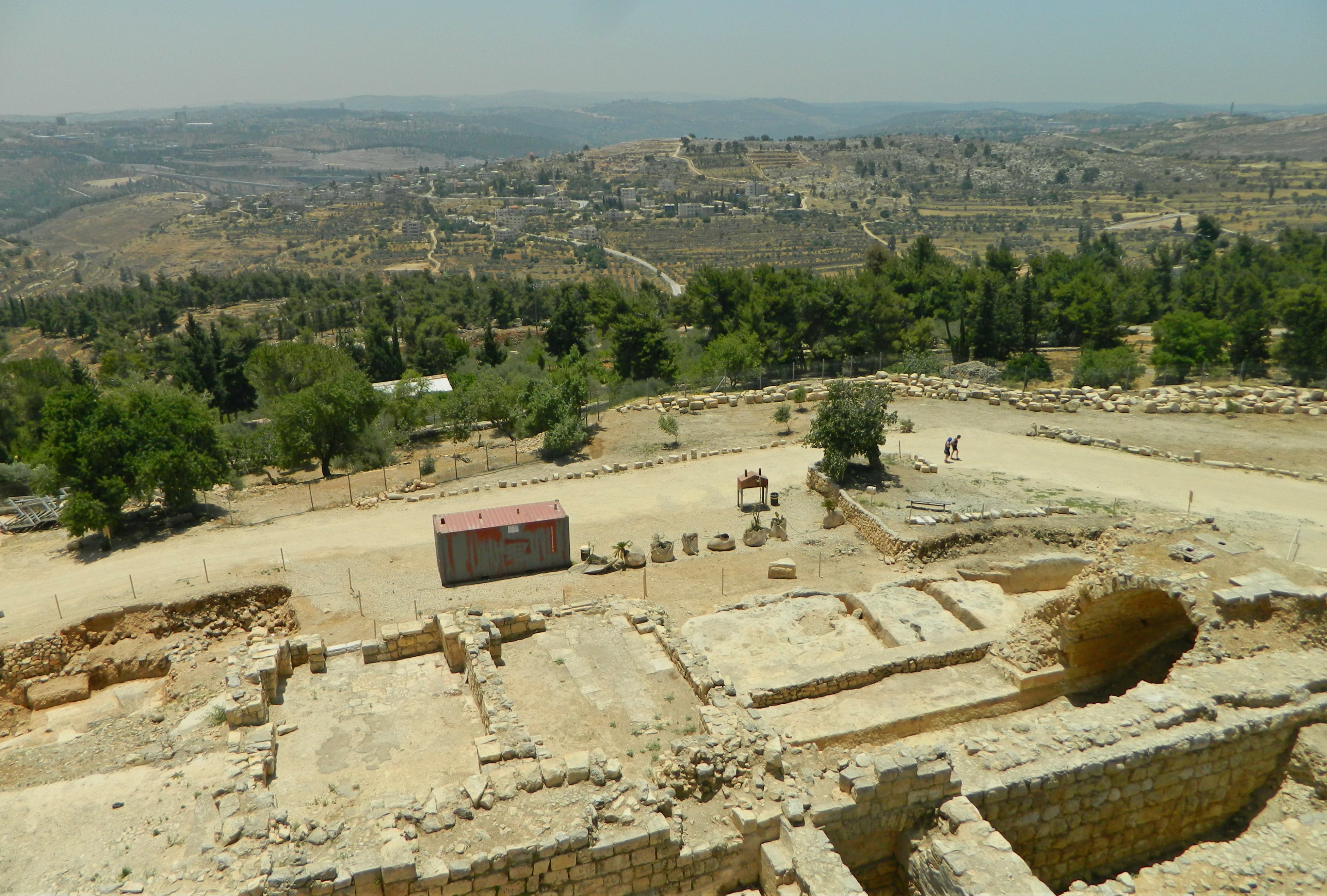
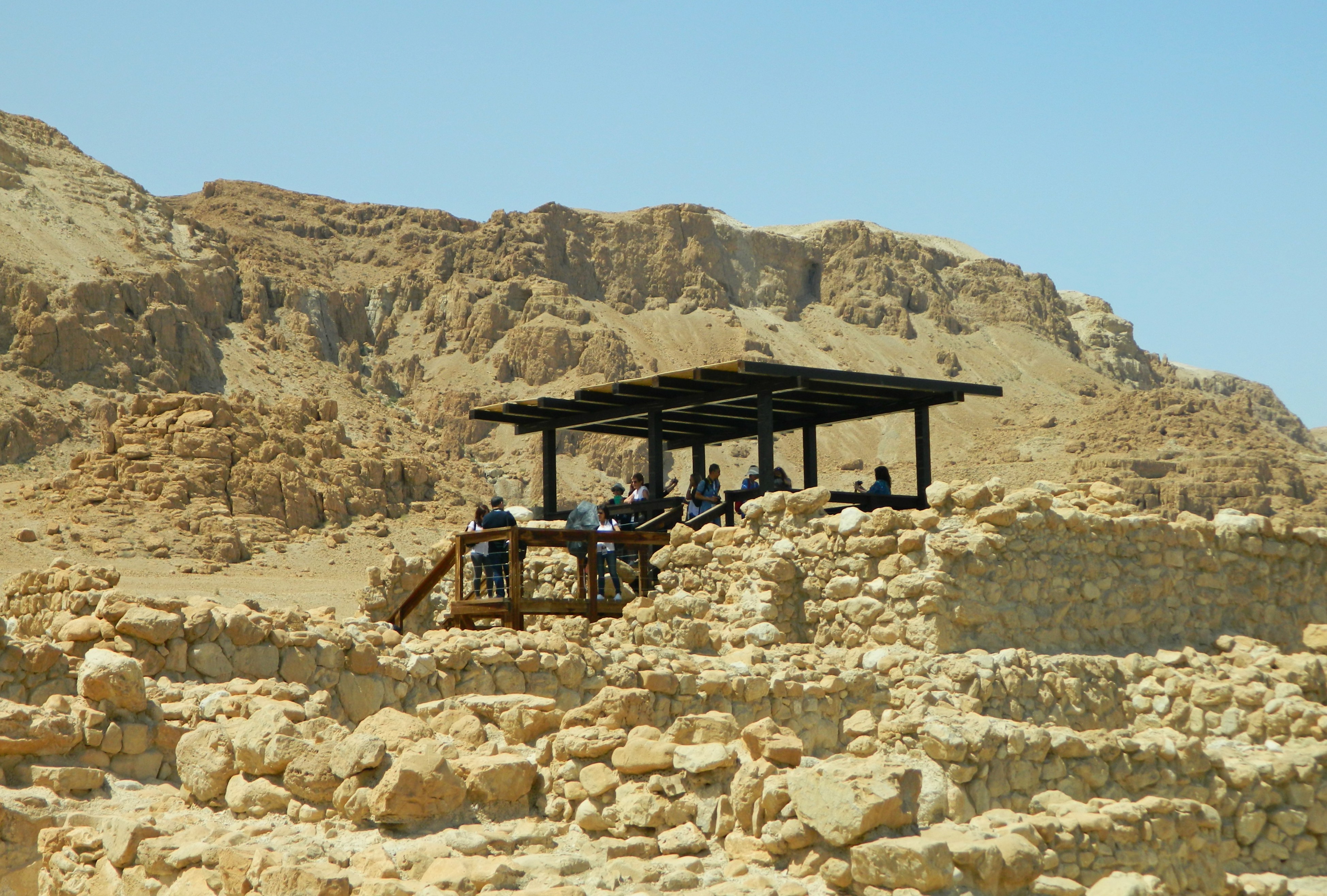
Continuing back around through the ruins, under the glaring Friday noon sun, we explored the large “parking area” of flat bedrock where pilgrims could camp out and the waterworks to support them, with channels, cisterns and more. We swung around the the west side of Nabi Samuel to admire the vaulted ruins of the Crusader fortress which once encompassed the church. There, behind the hewn rock of the quarry – which is unusually close to the building site – we examined the restoration of fallen arches.
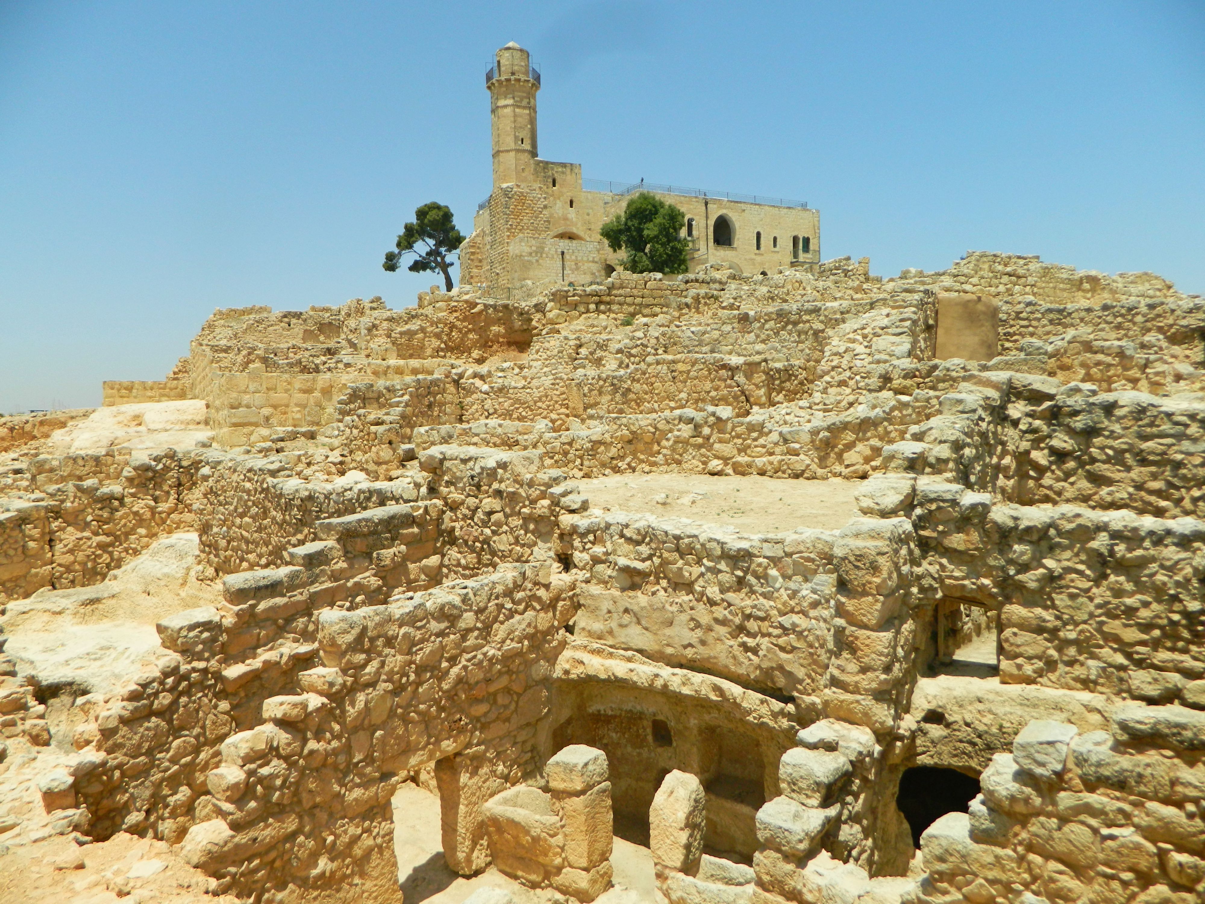
Hellenistic and Roman ruins
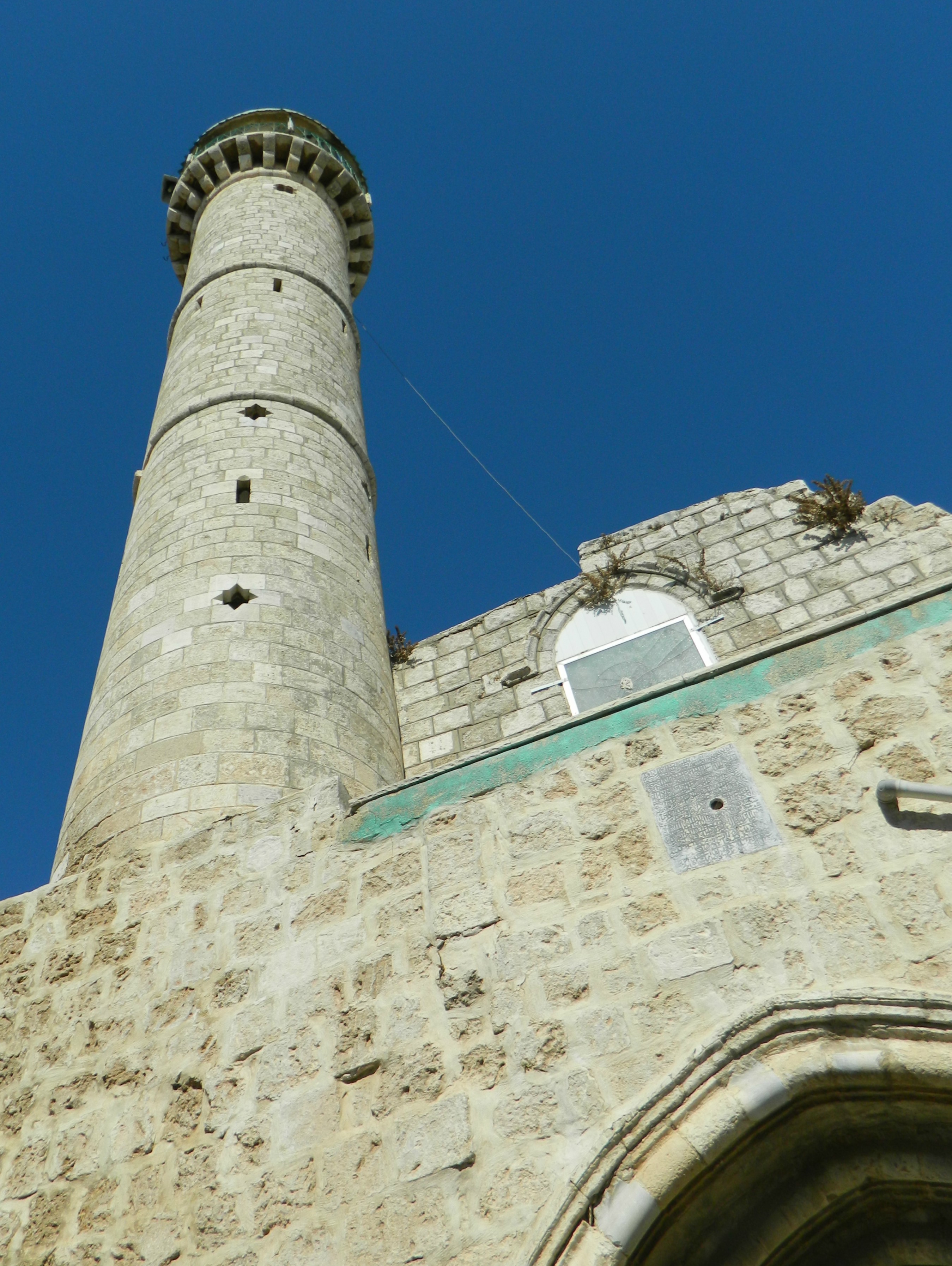
From there we continued along to the exposed layers of ruins dating from the Hellenistic and Roman (Second Temple) eras until we reached the point where we started. With the exterior loop completed we turned our attention inward and crossed the modern bridge over the hewn dry moat, connected to the flat area where the pilgrims would camp. We approached the central building of Nabi Samuel which was built by the Muslims after banishing the Christians, keeping, for the most part, the cross-shaped layout. We entered the structure, making note of the characteristic Islamic-green door and window frames and shutters, as well as the Arabic plaque over the doorway.
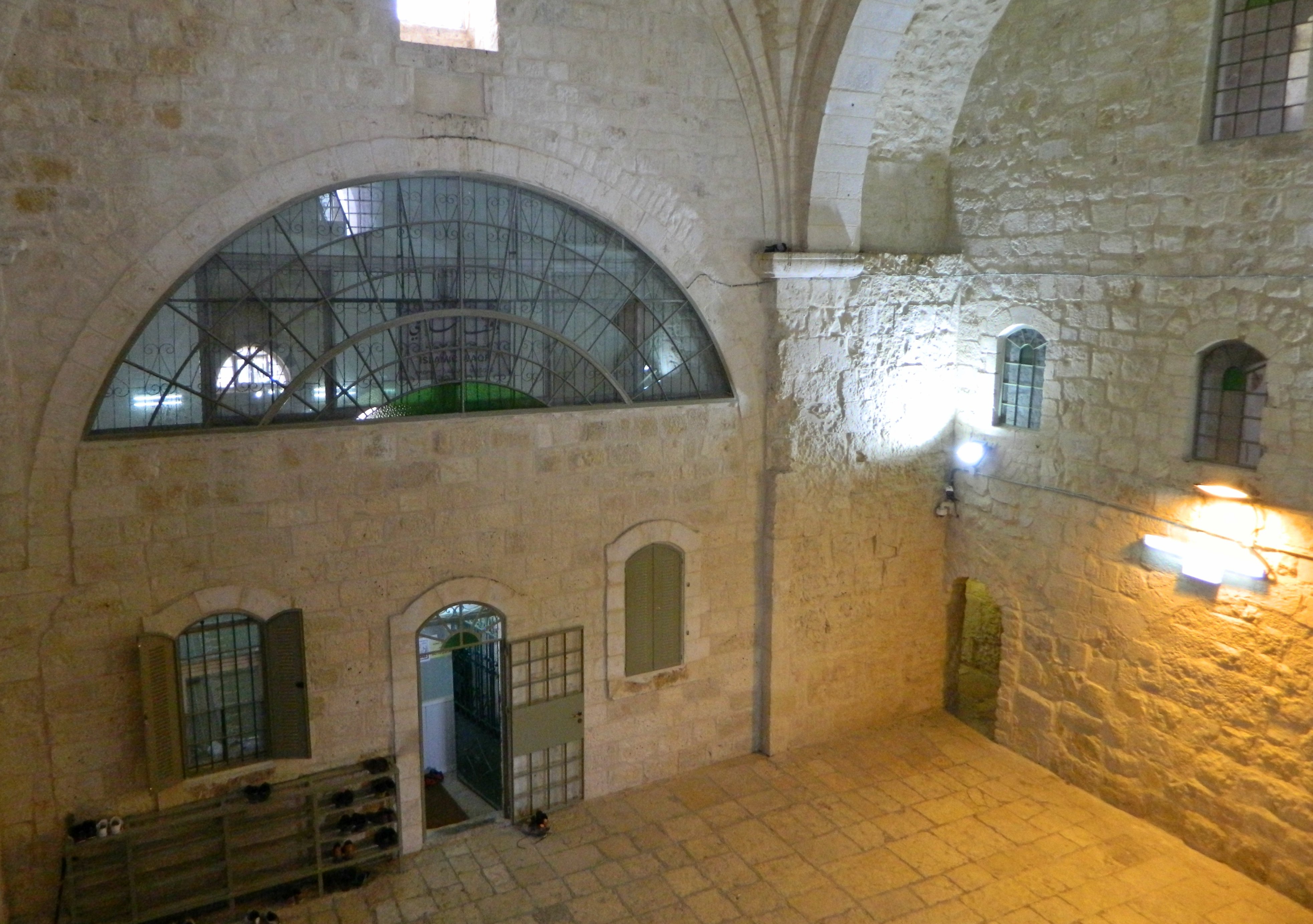
Muslims to the left and Jews to the right
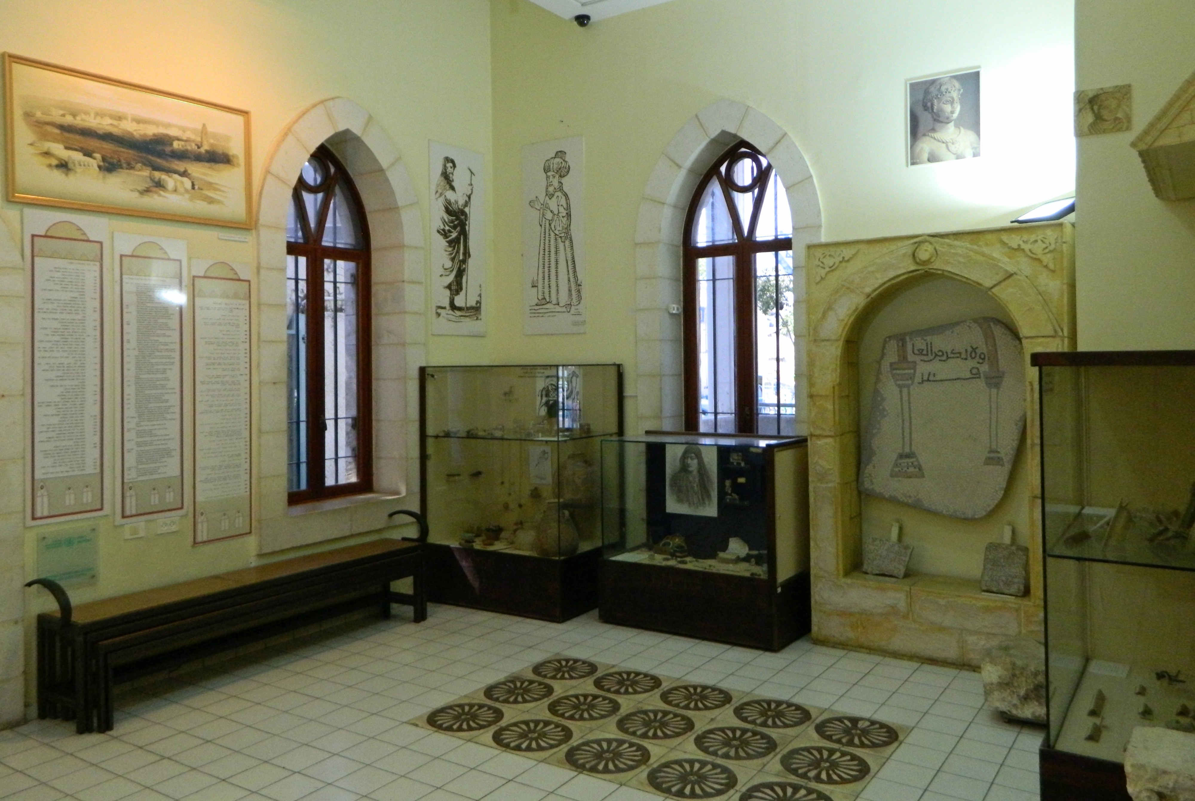
Inside, standing in a tall domed chamber of Gothic construction, we surveyed our surroundings which included Muslim features such as shelves for shoes, green glass in the windows, a mihrab (prayer niche) at the southern wall facing Mecca and a hard-to-see flag of the Islamic Waqf for the mosque. Straight ahead was the door to the Muslim shrine, where worshipers were in various stage of prayer facing a Mamluk-themed mihrab of green and white ablaq. To the right there was a small door which took us to the Jewish site, the kever of Shmuel, located in a small underground crypt. Standing in reverence, I took out a Tehillim (Book of Psalms) and opened to a random page, as is my personal tradition, intending on saying whatever chapter I come across. More times than not the chapter I randomly select mentions either something going on in my life at that time, or something that was mentioned to me or by me or in my head in recent times. Sure enough, I reached a verse with the word “abirim” which is Hebrew for knights (ie Crusaders). However, the actual translation of this verse is different, the word “knights” becoming “bulls” due to a literary rule that my Hebrew-language major roommate explained to me: “Do I eat the flesh of bulls, or drink the blood of goats?” (Psalms 50:13).
View from the roof of Nabi Samuel
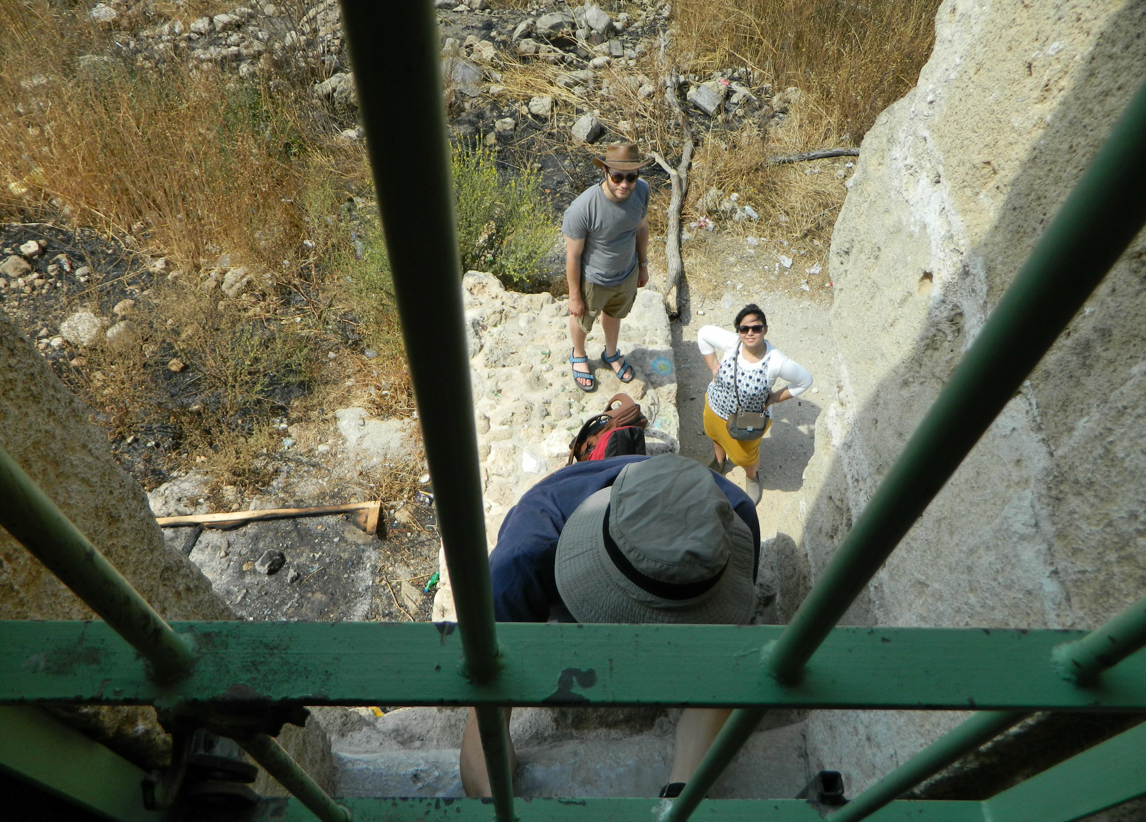
Leaving the Jewish section, we regrouped at the entrance and made a quick loop around the exterior of the structure, where Dr Rubin pointed out interesting features such as mason marks and blocked up doorways. To put a final flourish on our trip we re-entered the building and took the narrow stone staircase to the roof where we stood beside the minaret and roof domes admiring the views of the surrounding areas both near and far. Descending back down the stairs, we made our way back to our bus and then back to Bar Ilan where we said farewell to one another, wishing a peaceful Shabbat for all.


