Last week Sunday was the Jewish holiday of Lag B’Omer, most famous for the lighting of bonfires and the annual pilgrimage to the grave of Rashbi in Meron, which becomes a bigger and bigger event every year. This year I attempted to visit Meron as soon as Shabbat ended, a relatively short drive, at the far foot of Mount Meron, but the roads were closed and we were forced to turn back. Sunday morning came and I hopped on a bus to Tzfat (Safed) to attempt a hike to Meron via Nachal Amud with some friends including Nechemya who hiked Nachal Kziv with me.

Waiting at the Saraya in Tzfat
We all met up, packed some food and water and hit the road, leaving Tzfat along the Industrial Section and entering what is known as HaAri Forest. There, in between the trees and splashed with bright blue paint, we found the grave of Brei d’Rav Safra (the son of Rav Safra) who lived sometime in the 300’s CE. Born in Babylonia, this sage moved to the Galilee and was mentioned in the Zohar, the famous book on Kabbalah associated with the aforementioned Rashbi.

Grave of Brei d’Rav Safra
An acronym for Rabbi Shimon Bar Yochai, Rashbi lived during the period after the destruction of the Second Temple. He and his son fled the Romans and found shelter in a cave in Peki’in (just minutes away from Ma’alot) where they were nourished by carobs and fresh spring water for thirteen years. The cave is still around today, and so are the carob trees and fresh spring, however, due to an earthquake, the cave is mostly collapsed and the spring was rerouted a little downhill.

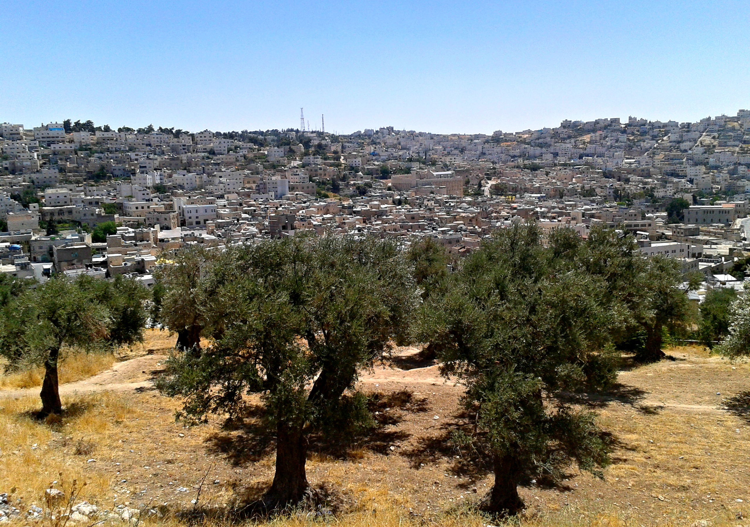
Hiking with Mount Meron in the distance
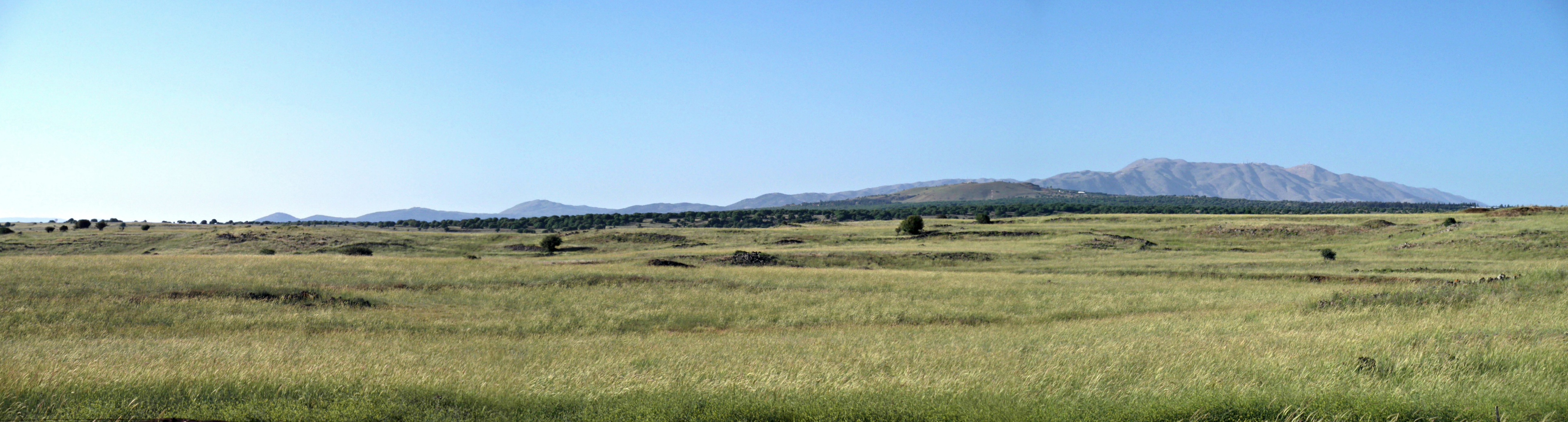
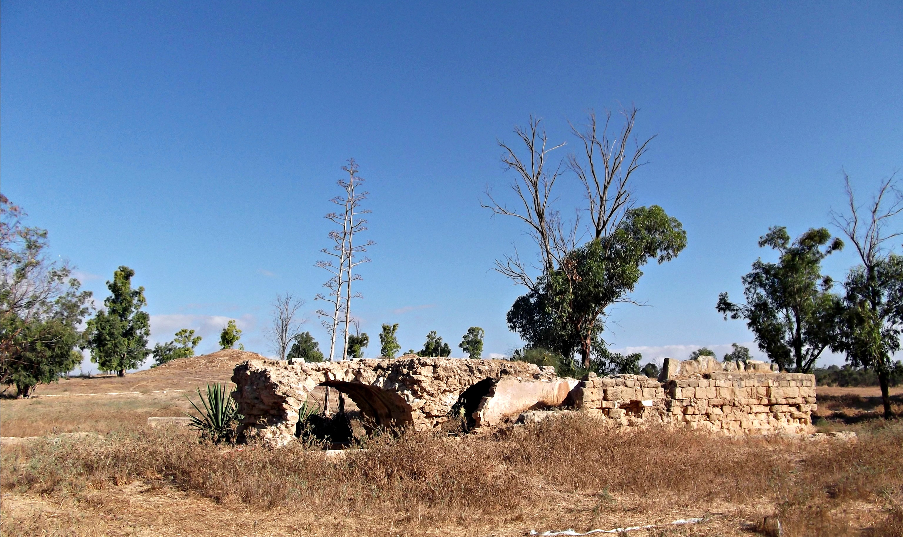
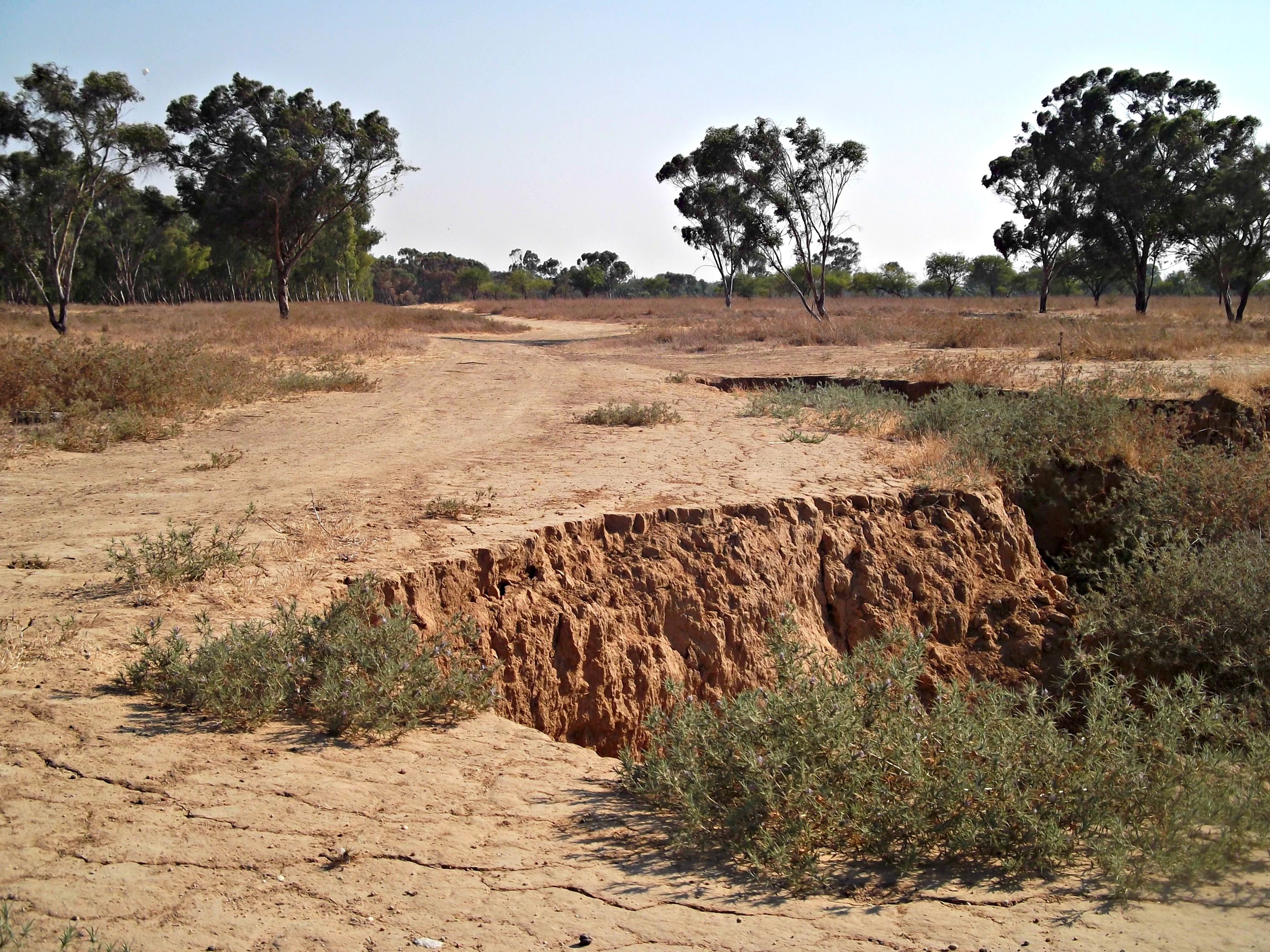
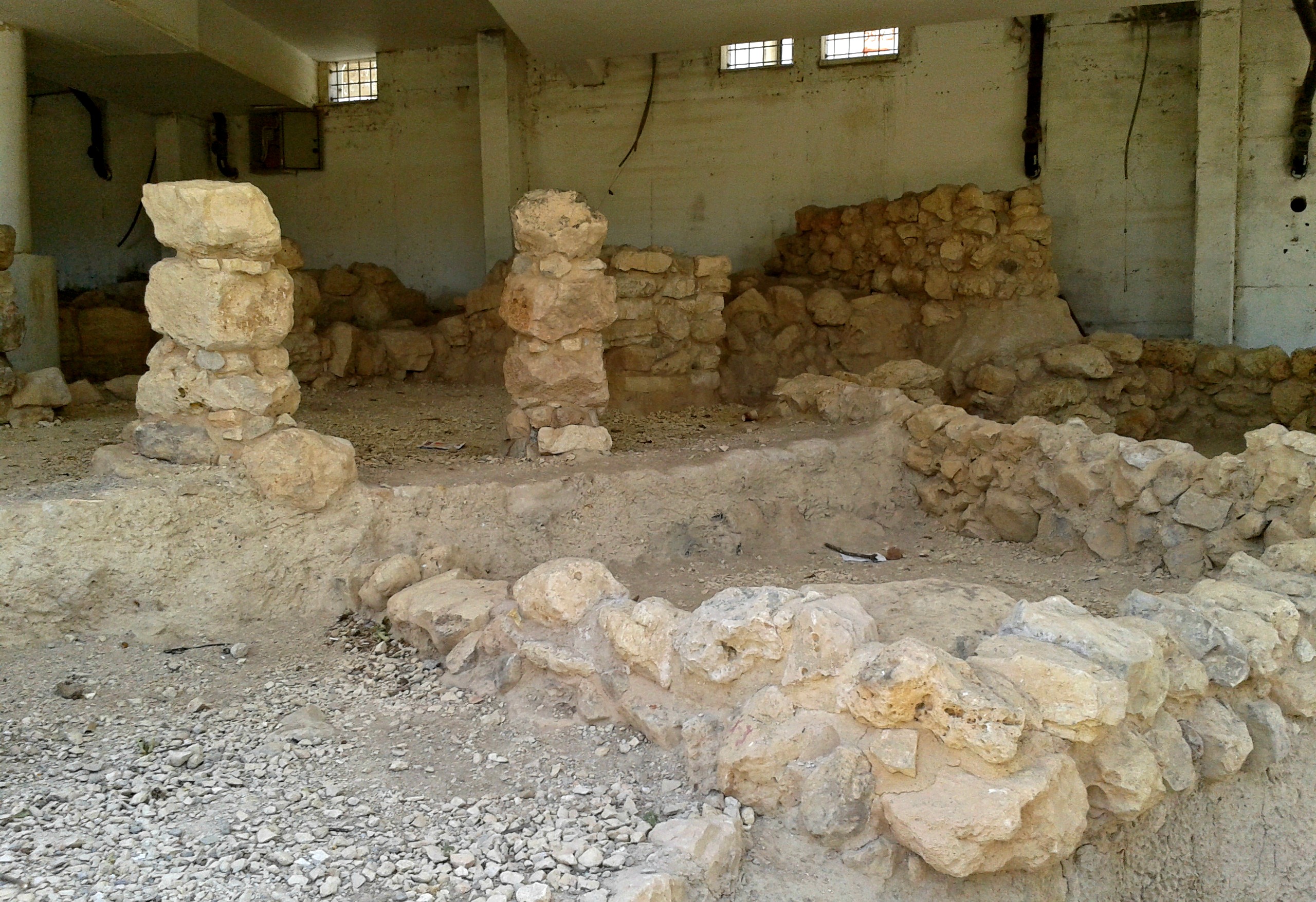
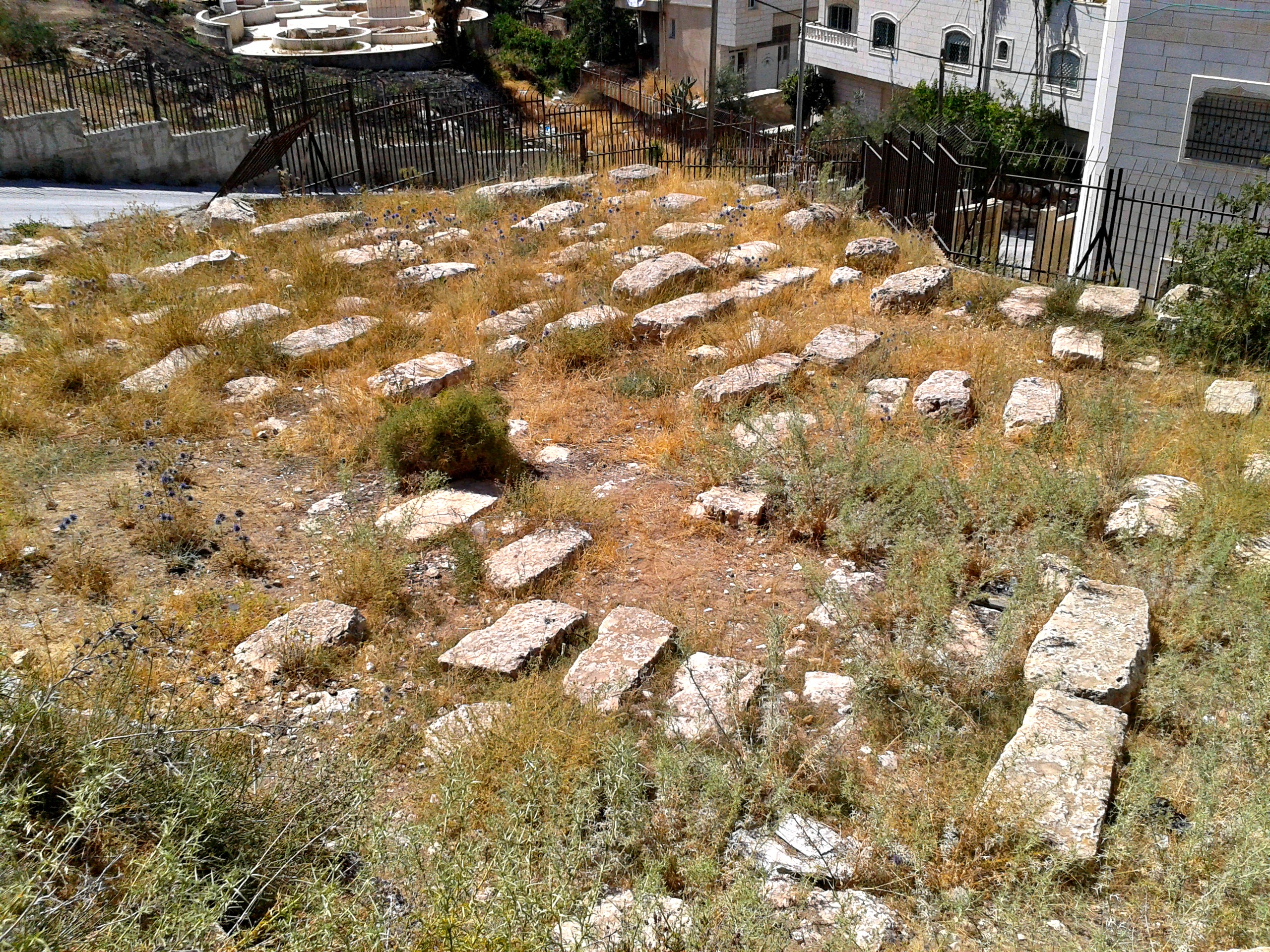
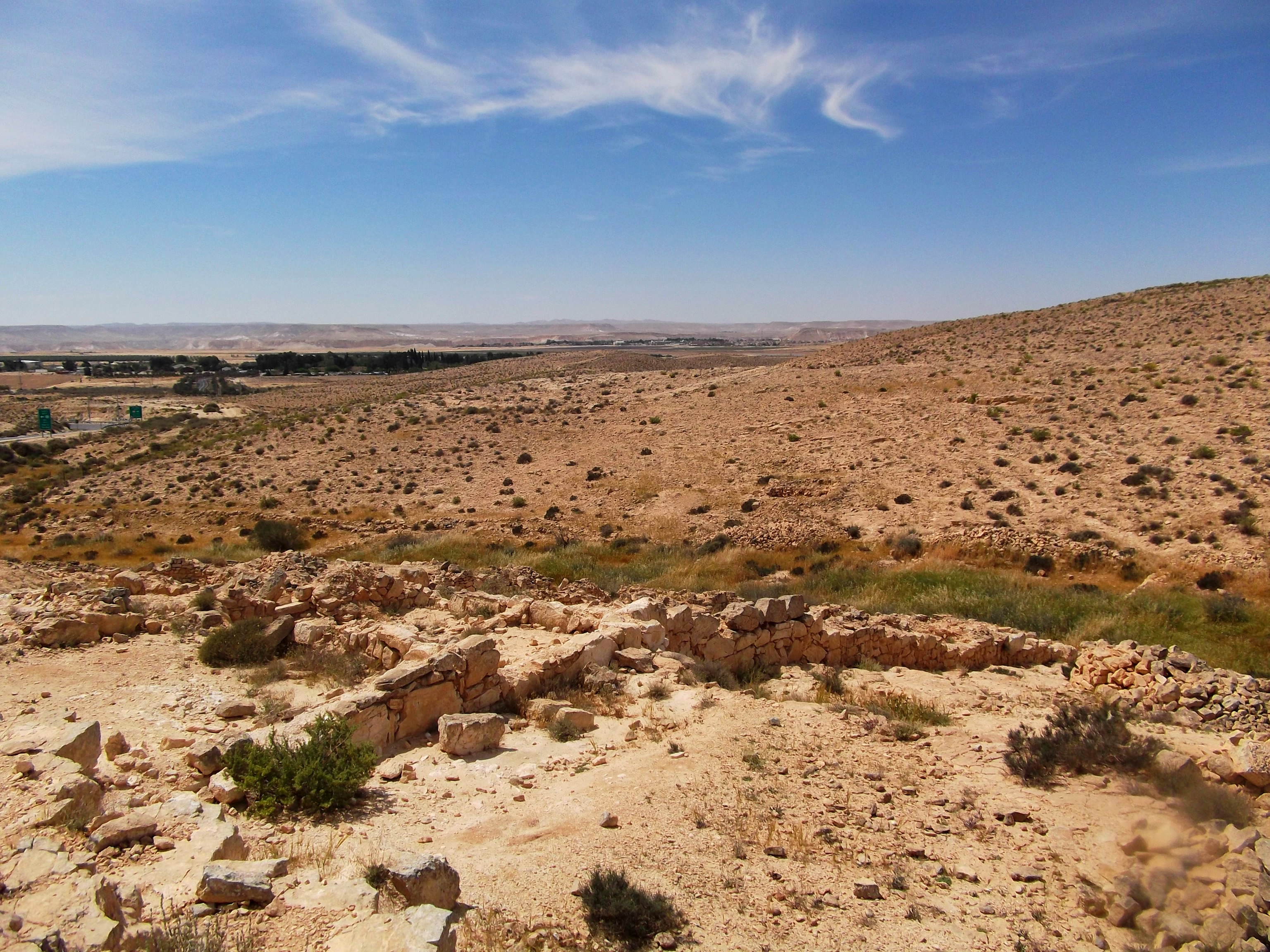
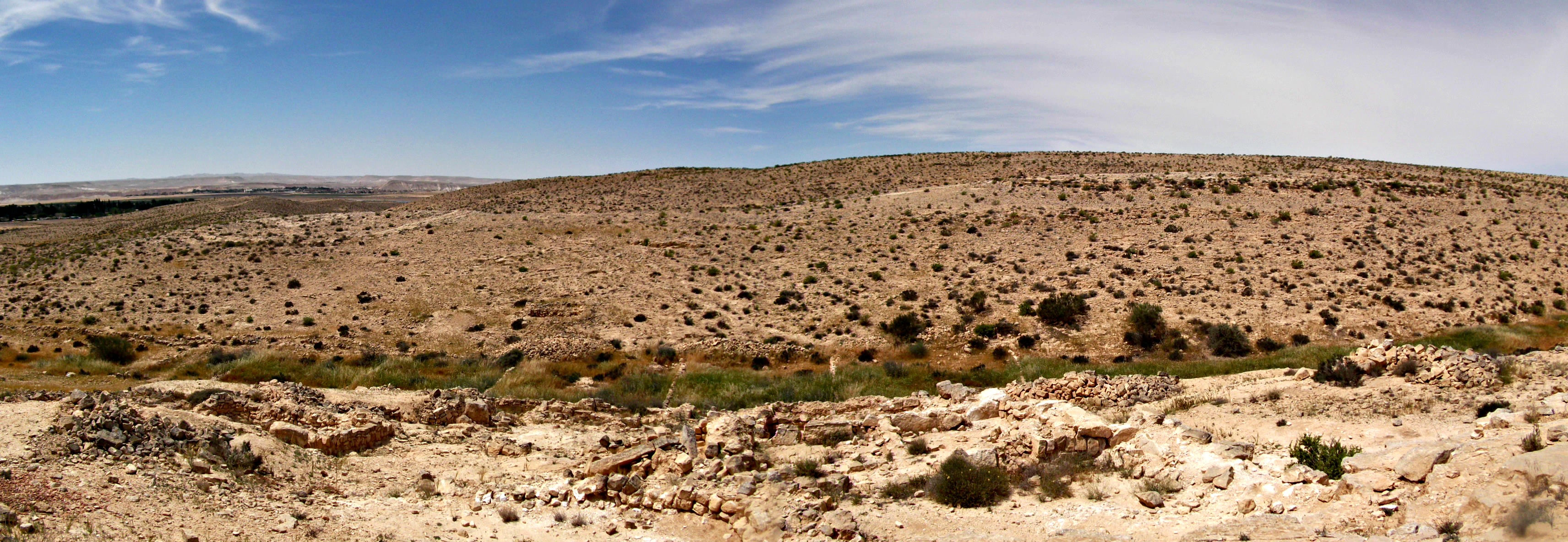
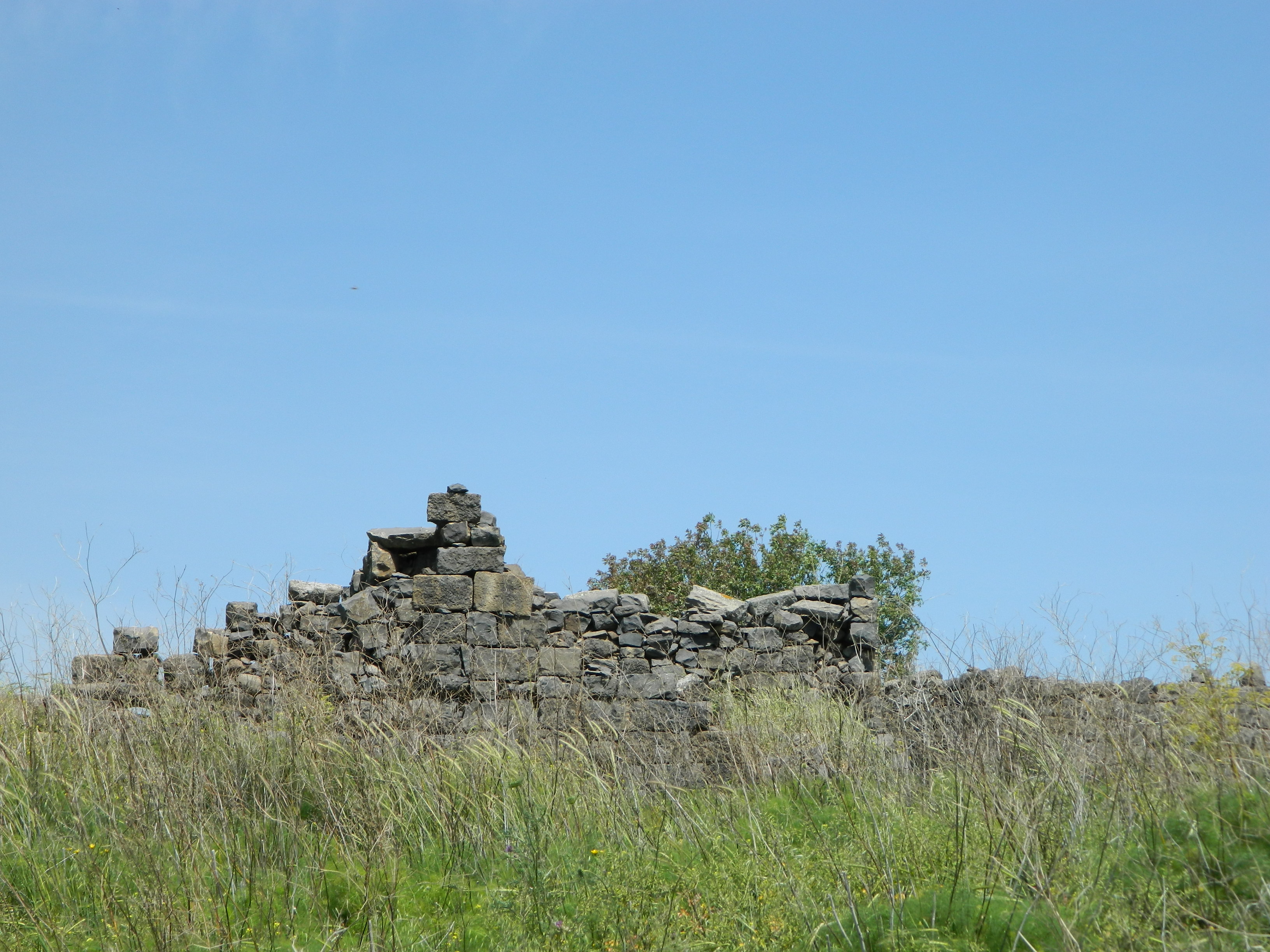
After a little lunch we continued on, the twin peaks of Mount Meron acting as our compass as we reached the ridge above Nachal Amud. As we walked along the ridge, heading north, we looked down and saw these old ruins but we fought temptation and forged onwards.

Old ruins down below
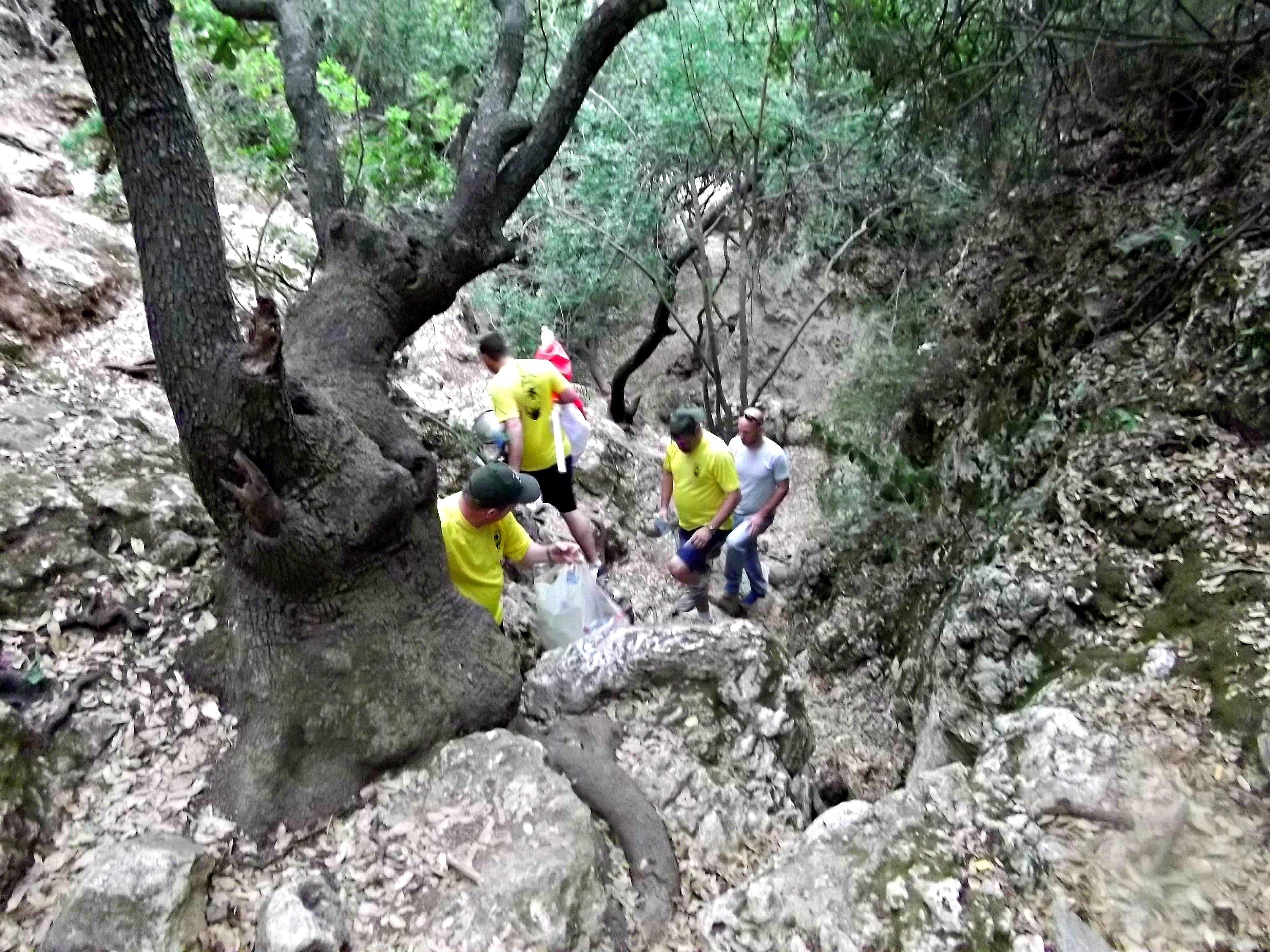
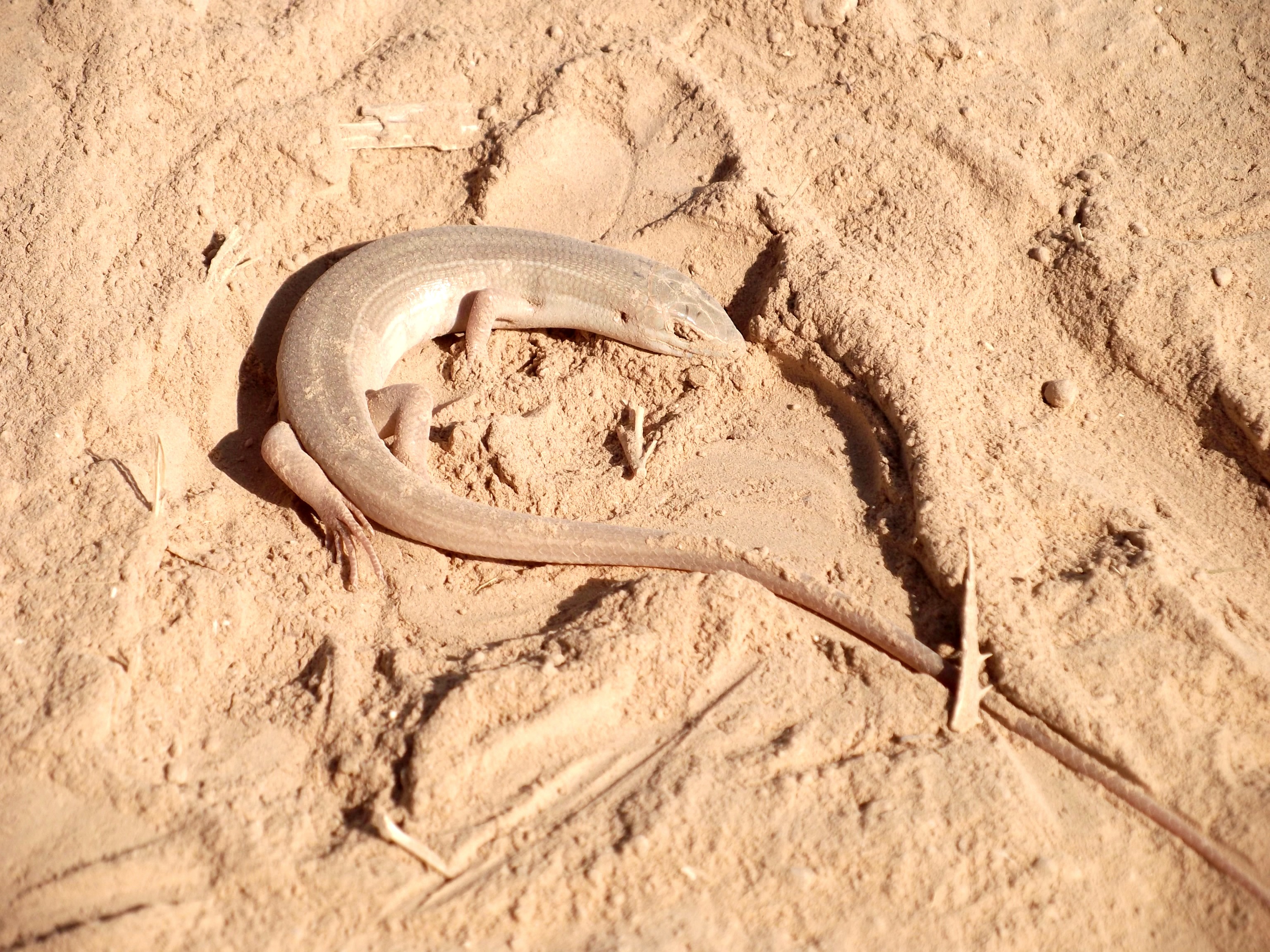
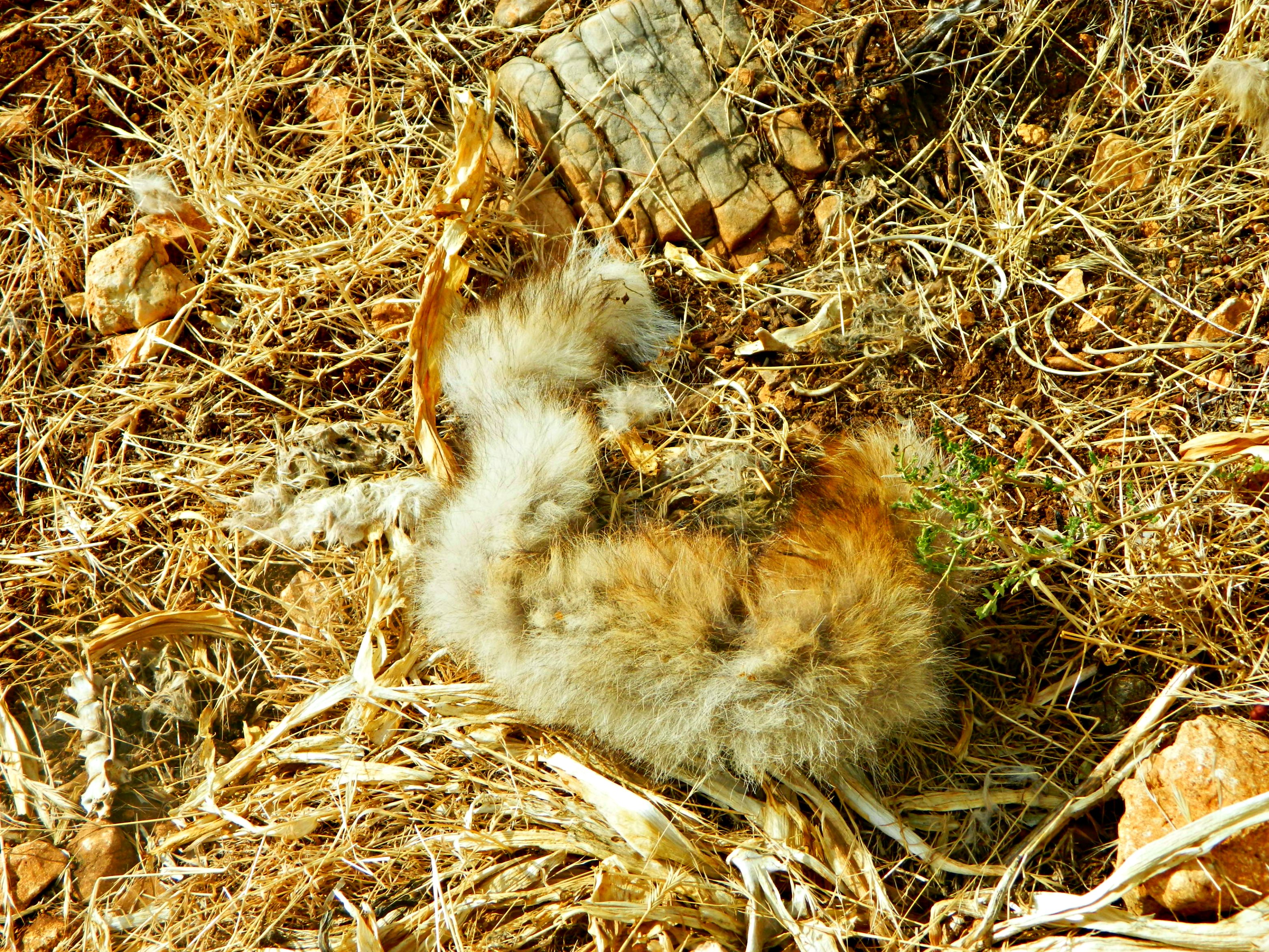
As we walked we began speaking of caves and Nechemya tried to recall where along the side of the ridge he found a big cave on a previous hike. And so we dropped down the side of the ridge, making our way over and around huge rocks, thorn bushes and more. After a while I began to appreciate the small thorn bushes; they made great footing to step on for going downhill. Then we came across some torn up fur littered all over, from a fox or jackal.

Torn fur from a fox or jackal
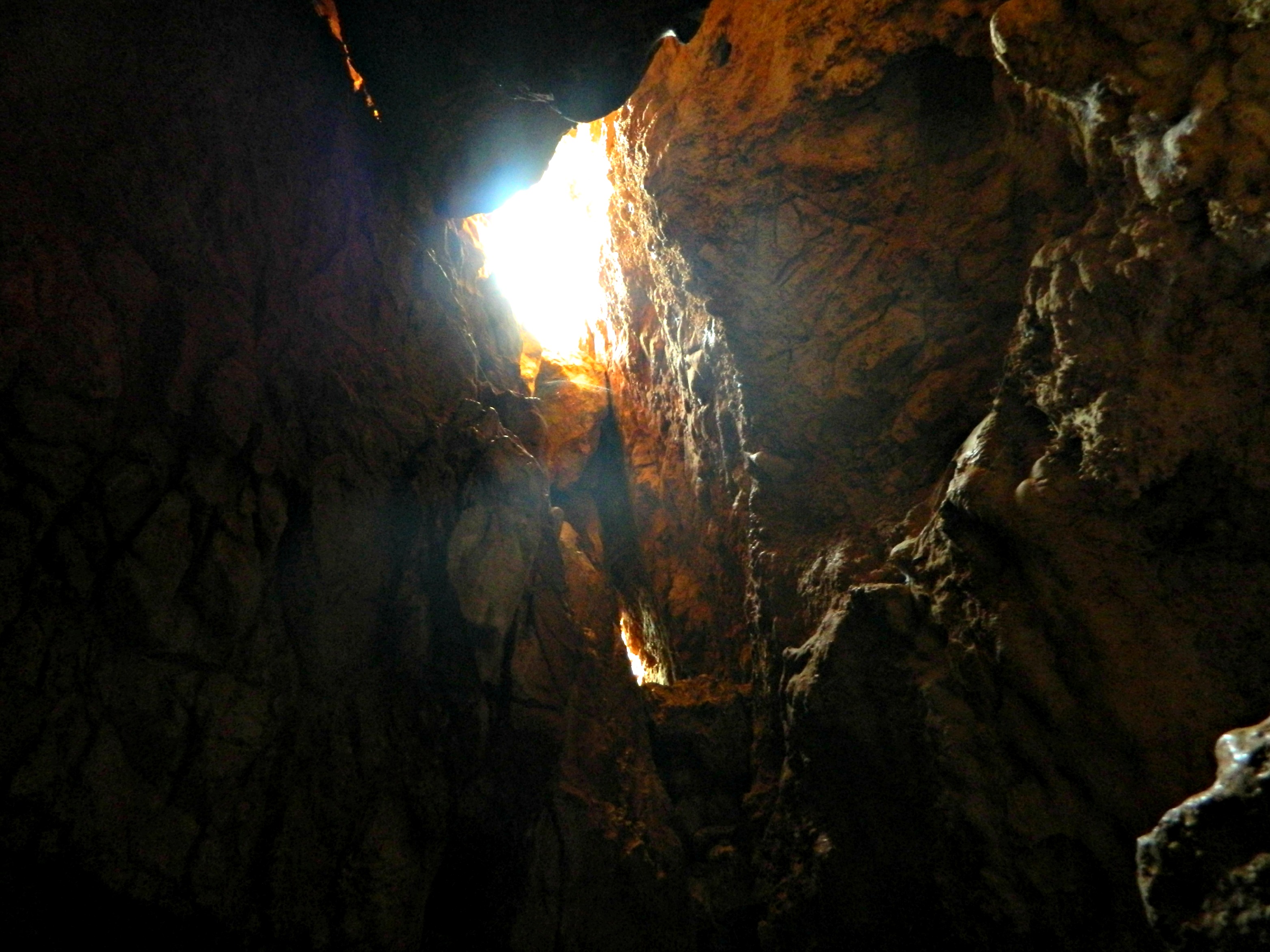
And then, as we kept going downhill, we saw a tree and Nechemya announced that we should check where the tree is. We dropped further down and then lo and behold! a cave. There was a smaller cave and then a cave that we actually entered, using cellphones and a penlight to see into the gloom. Unfortunately, there was nothing really to be seen but it was cool being in an unmarked cave and it fueled our desire to find more caves.

From within the little cave
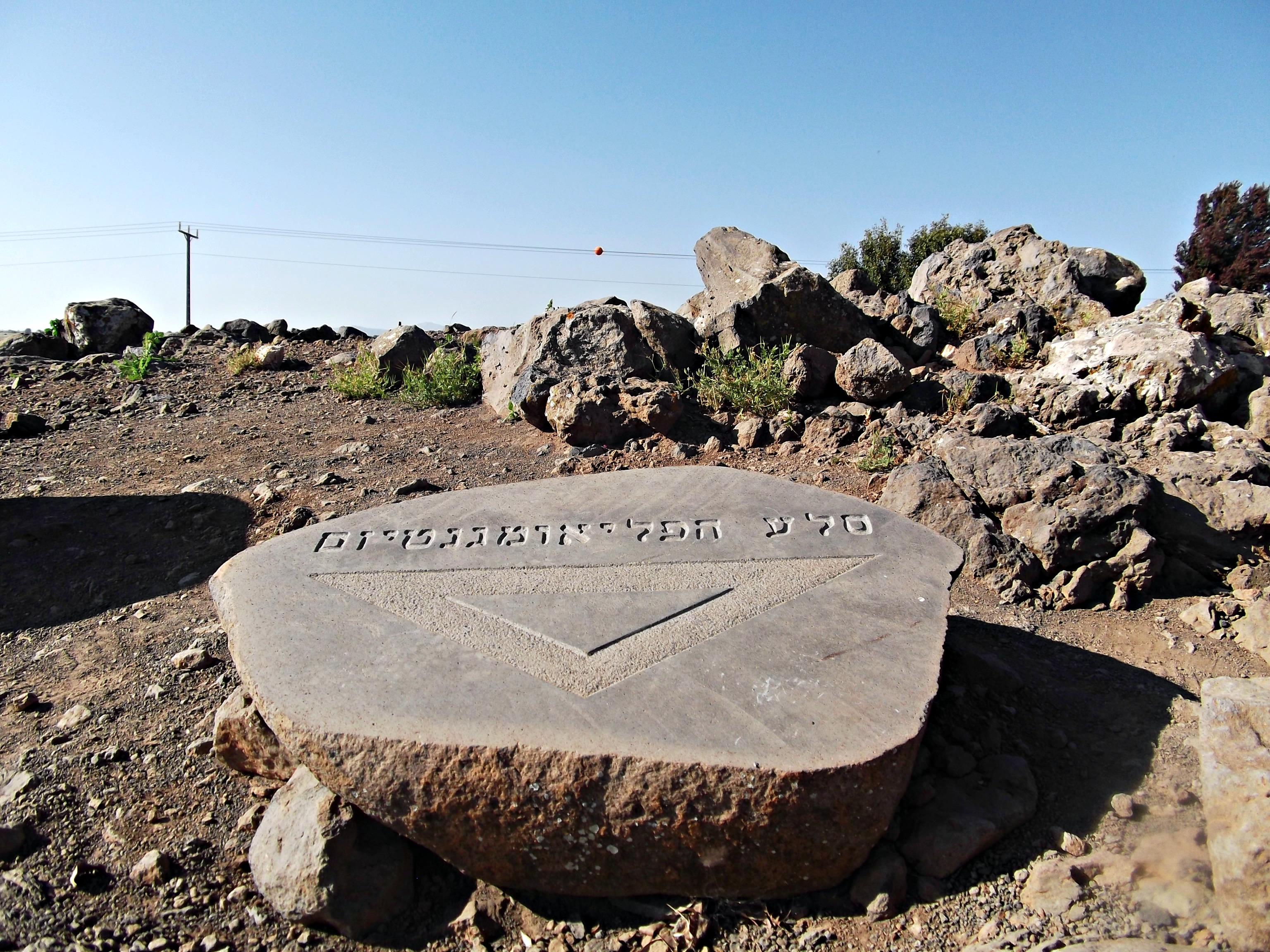
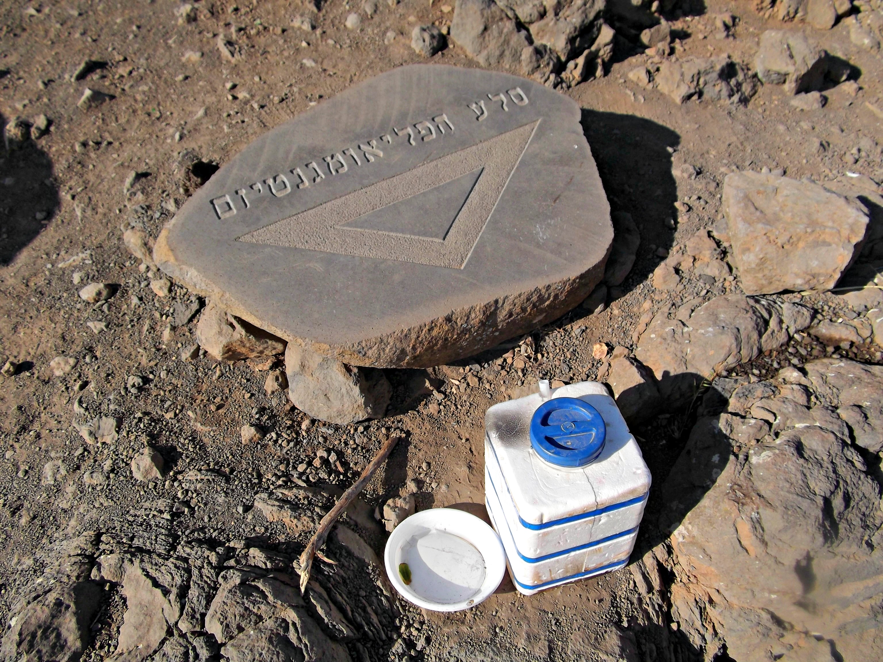
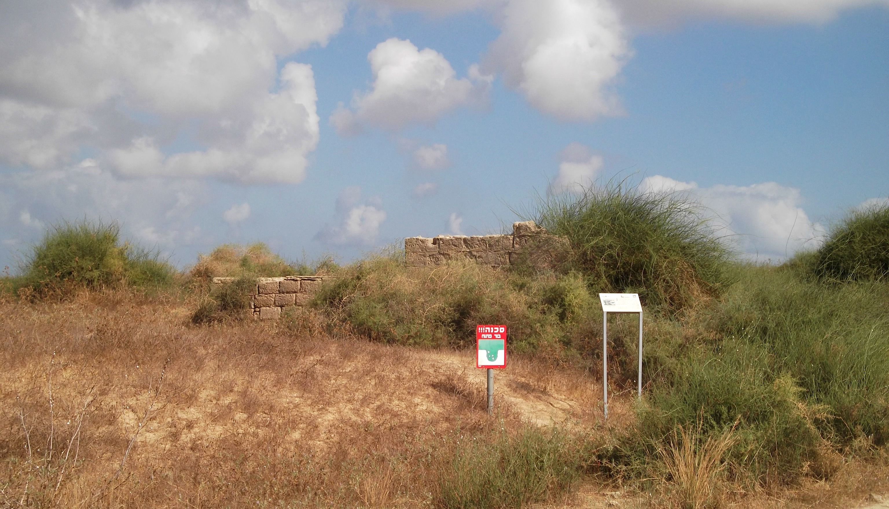
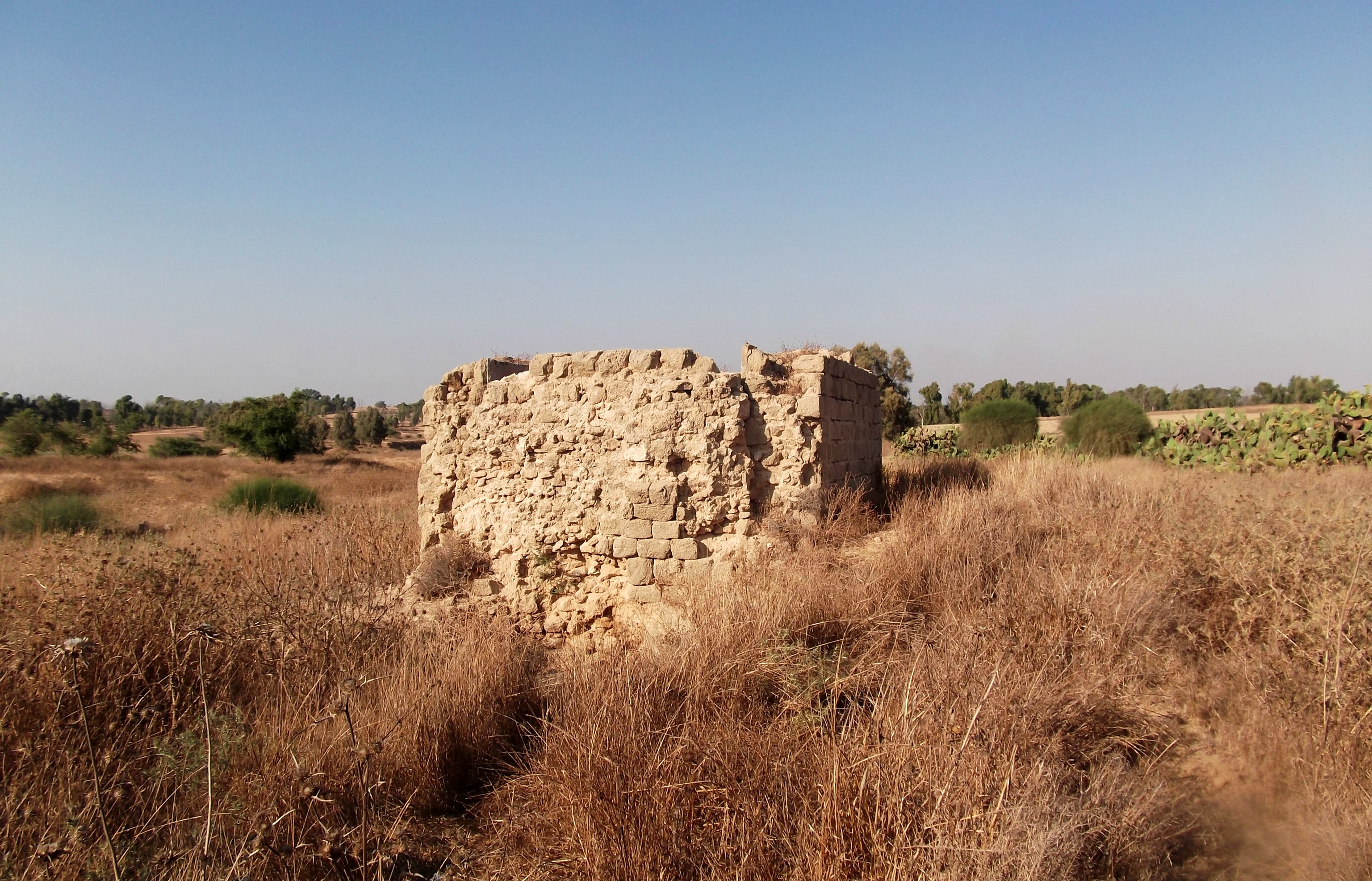
Then, looking further downhill, we spotted a stone pillar splashed with bright blue paint – another grave. We fought gravity as we made our way down safely, at last reaching the grave of Rabbi Nehunya ben HaKanah, another great sage from the time of the Second Temple. One of the forerunners of Kabbalah, even before Rashbi, several of Rabbi Nehunya’s teachings were told over to us by Nechemya and so when we stumbled upon his very grave it was an amazing moment, encapsulating two thousand years of history.

Pillar marking the grave of Rabbi Nehunya ben HaKanah
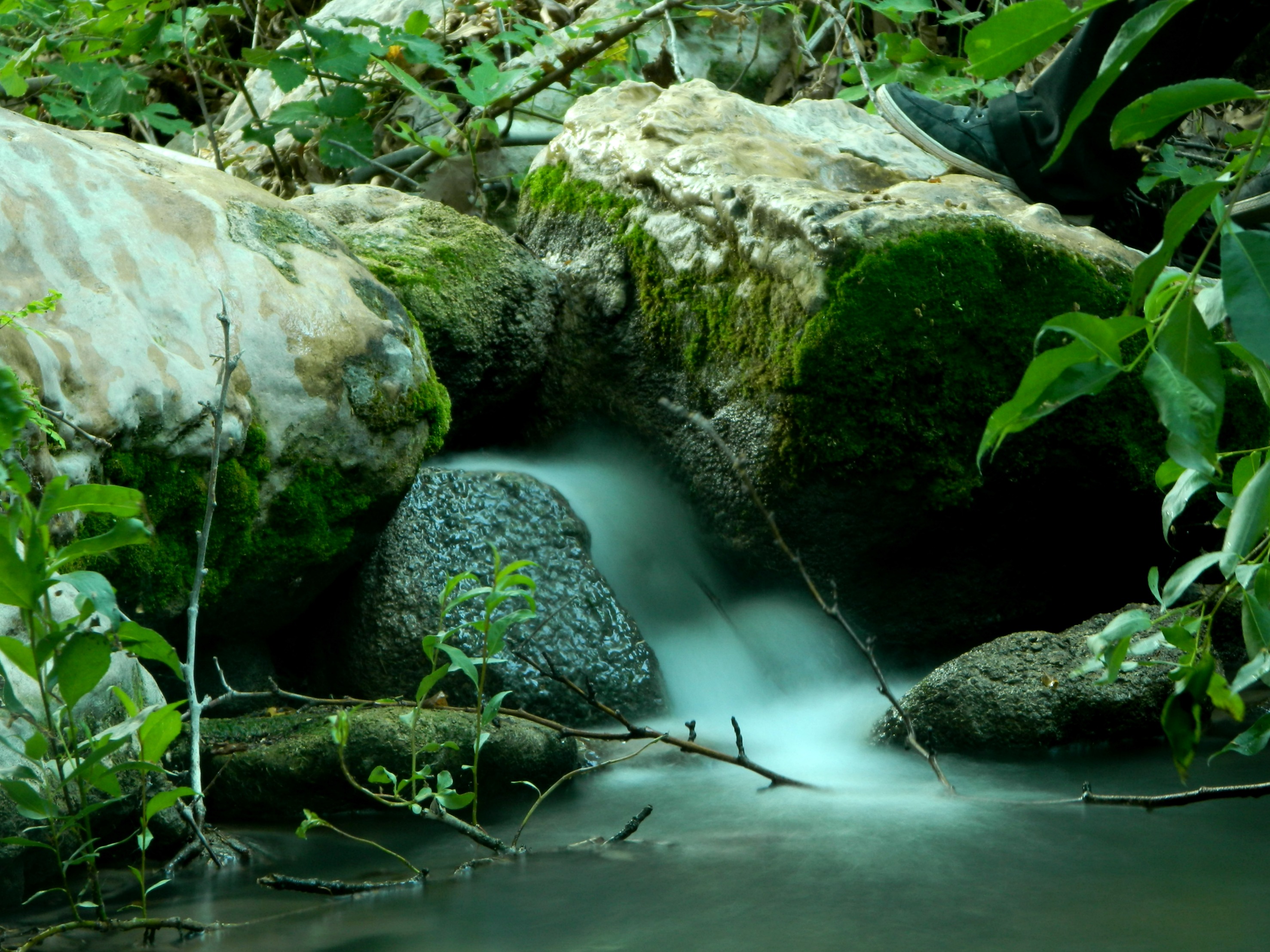
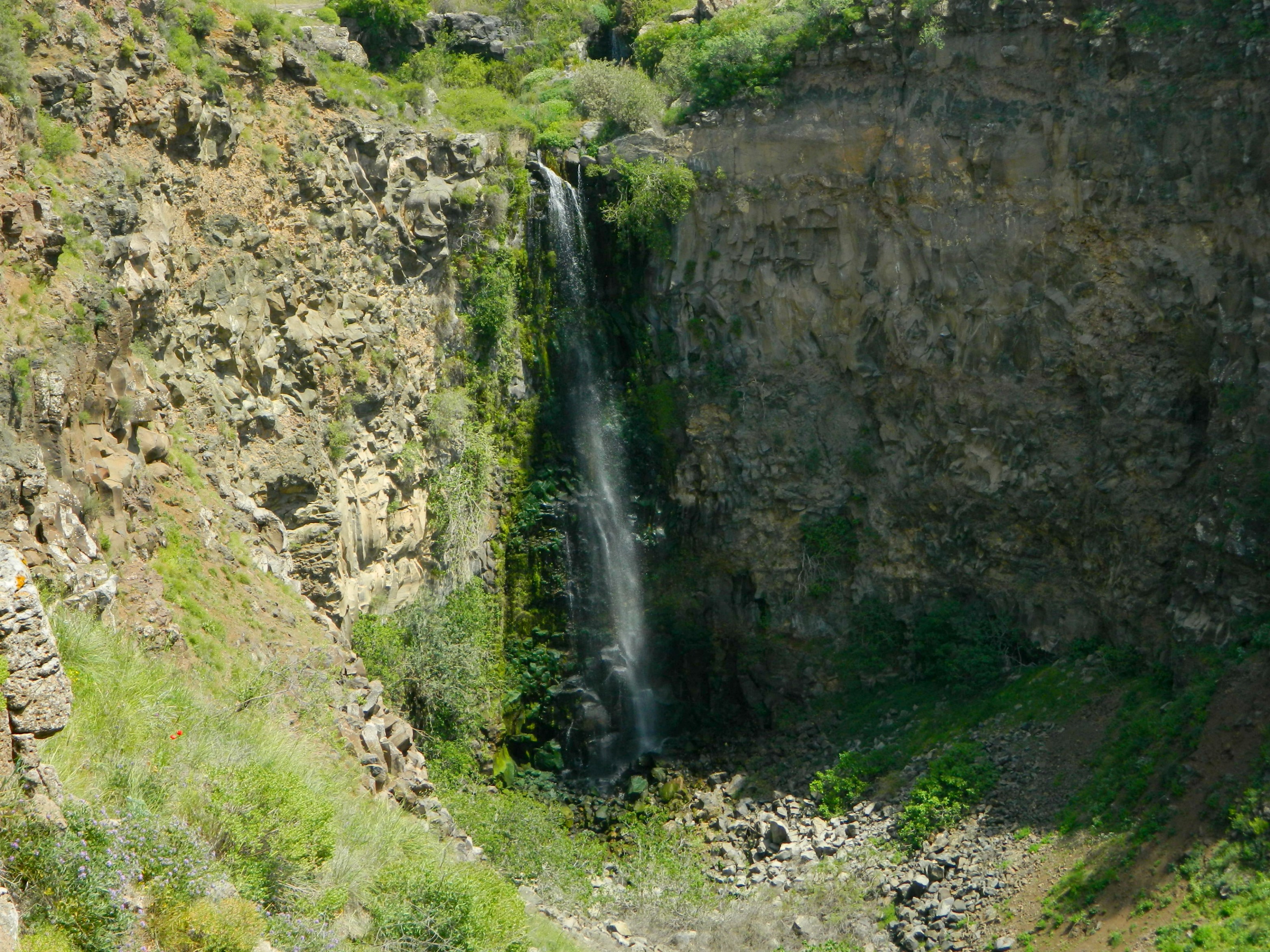
After some time spent at the grave we continued on down, heading for Nachal Amud. Climbing down an ancient stone wall running alongside the stream, we spent some time at the stream – each doing their own thing. I tried something new with my camera; the “soft water” look of a tiny waterfall:

”Soft water”
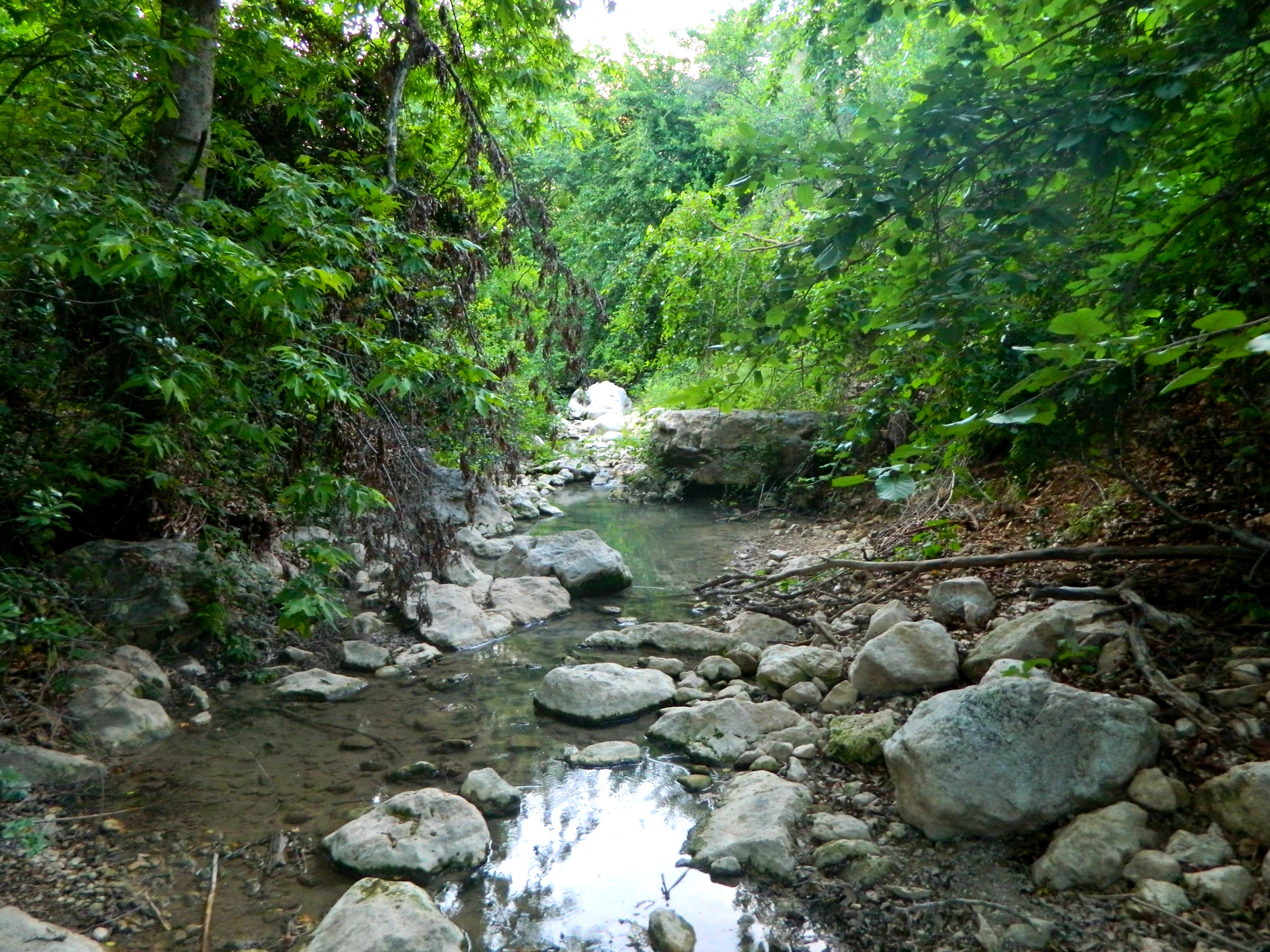
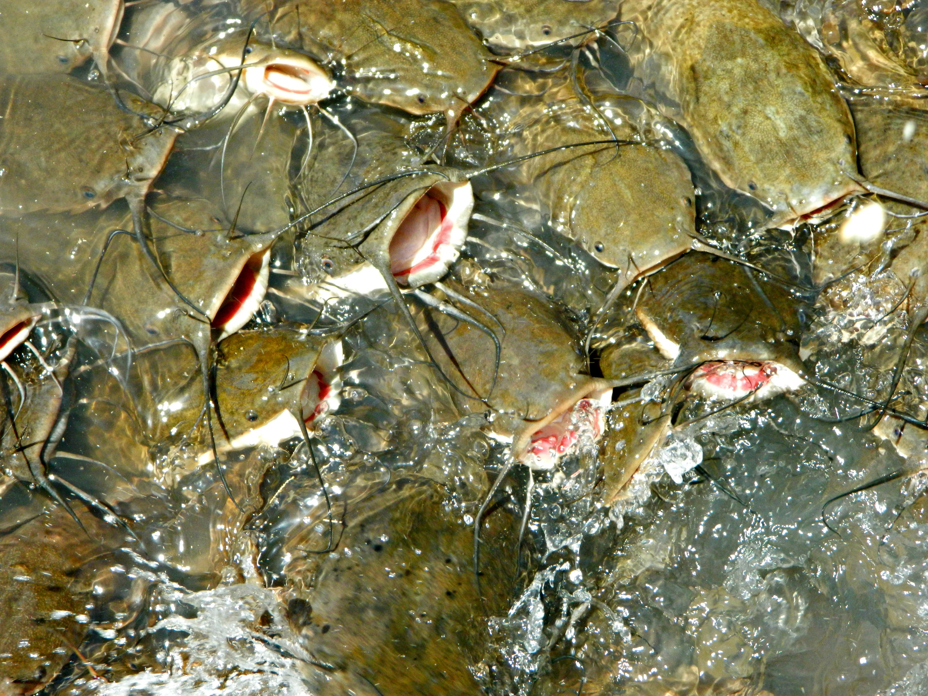
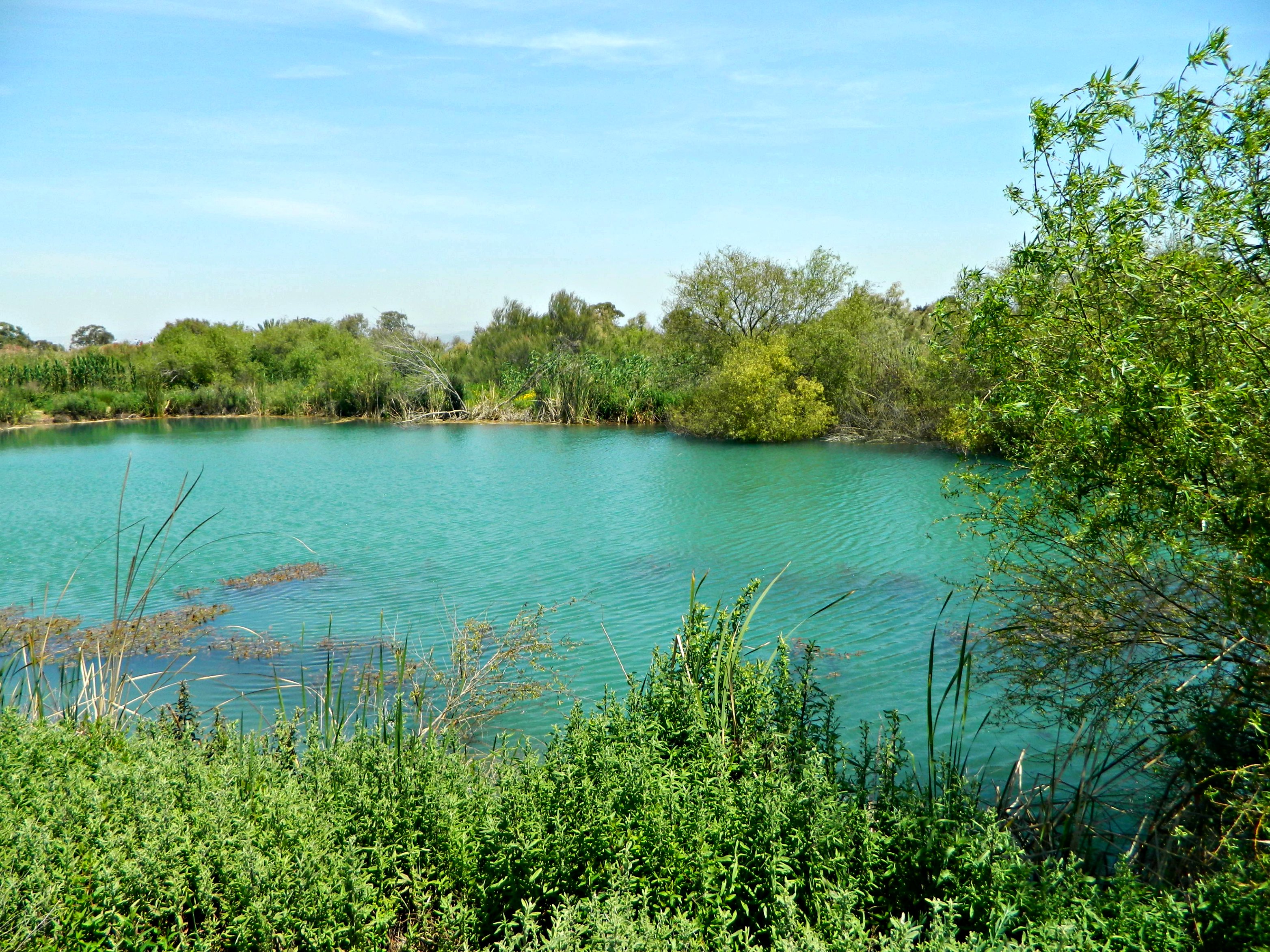
Then we found an orange tree, with ripe oranges dangling up high, but with the aid of a stick I enjoyed a fresh, organic orange plucked from nature. Then we resolved to continue our way towards Meron, this time walking along the stream.

Nachal Amud
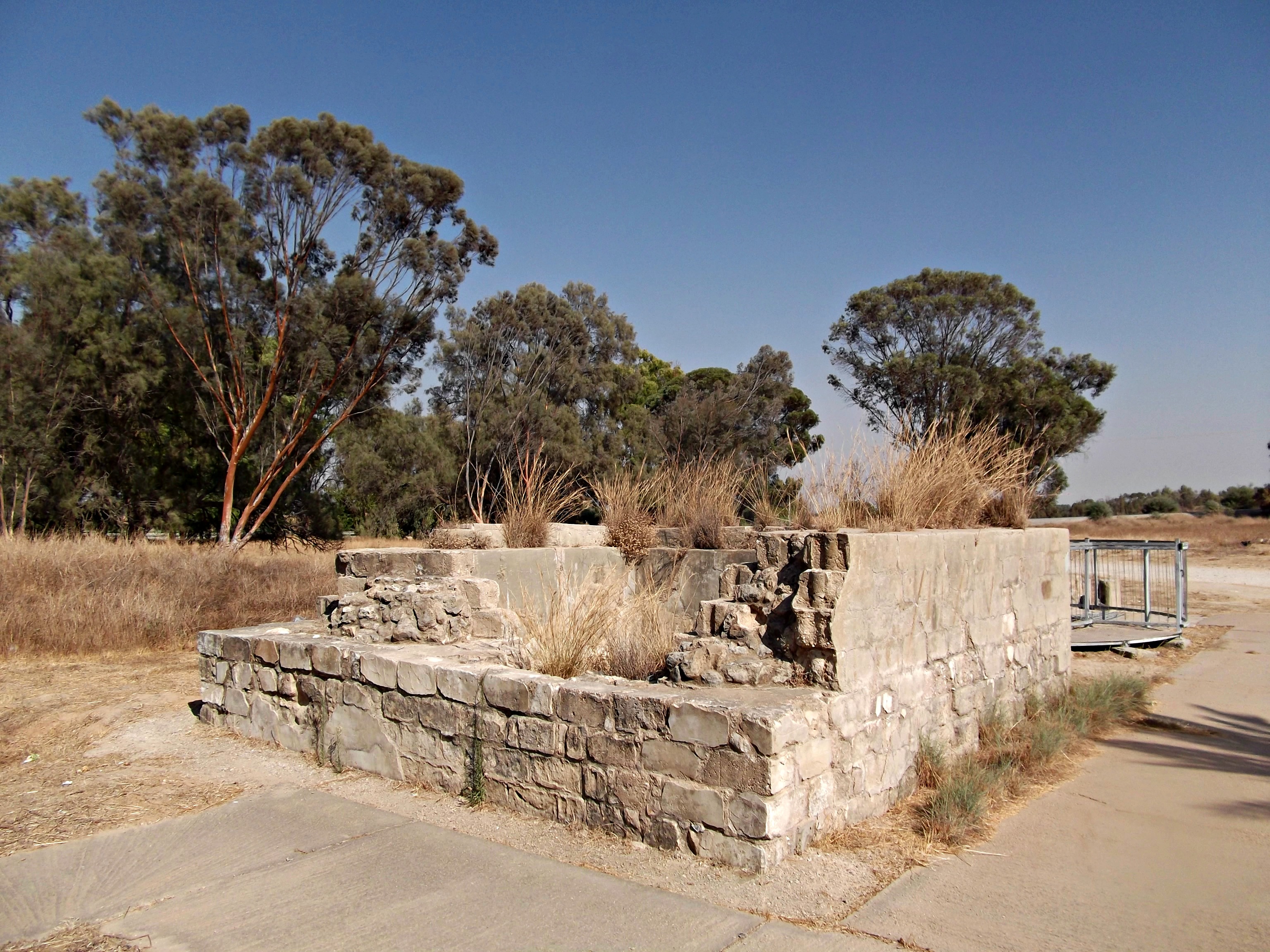
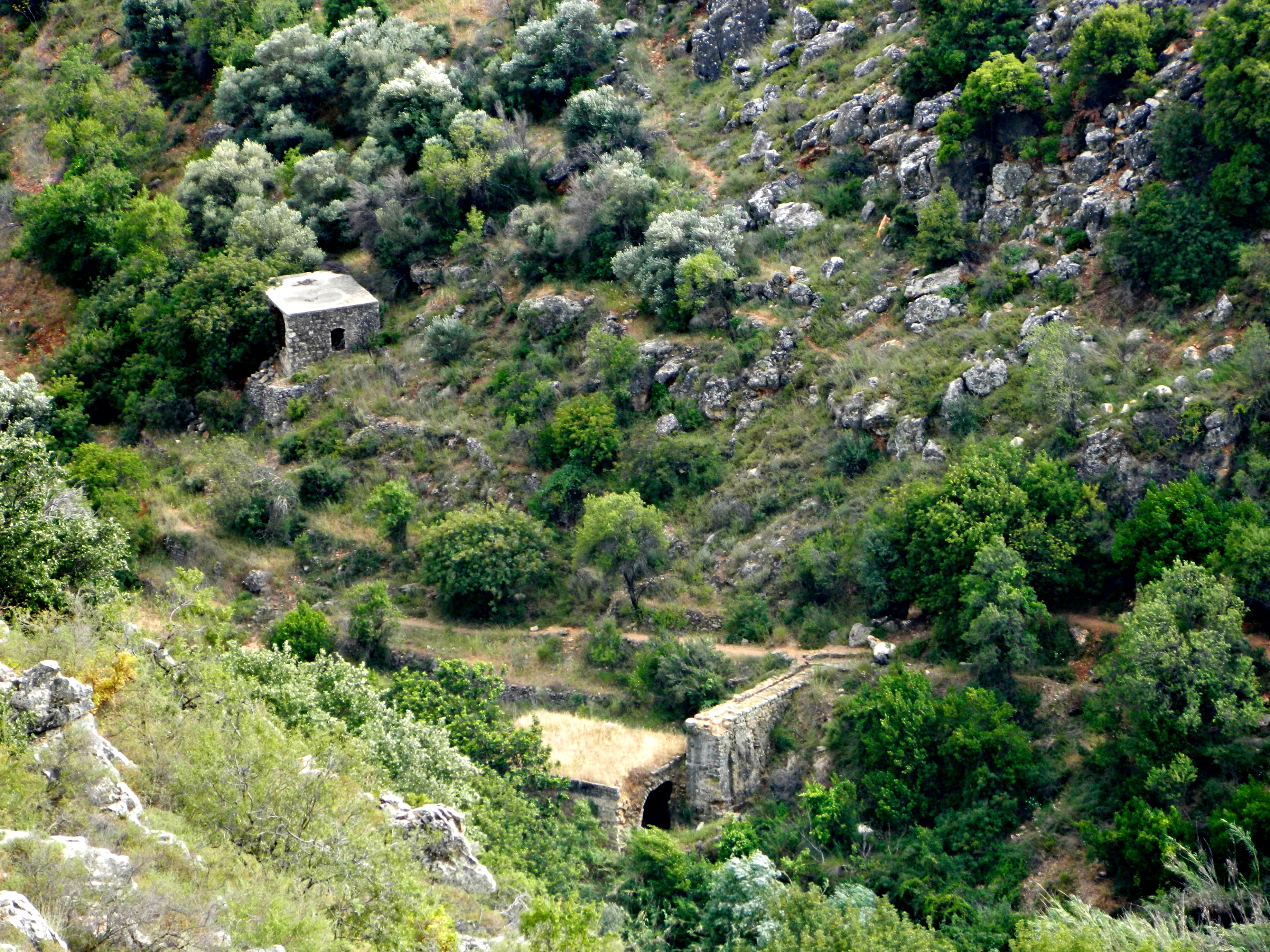
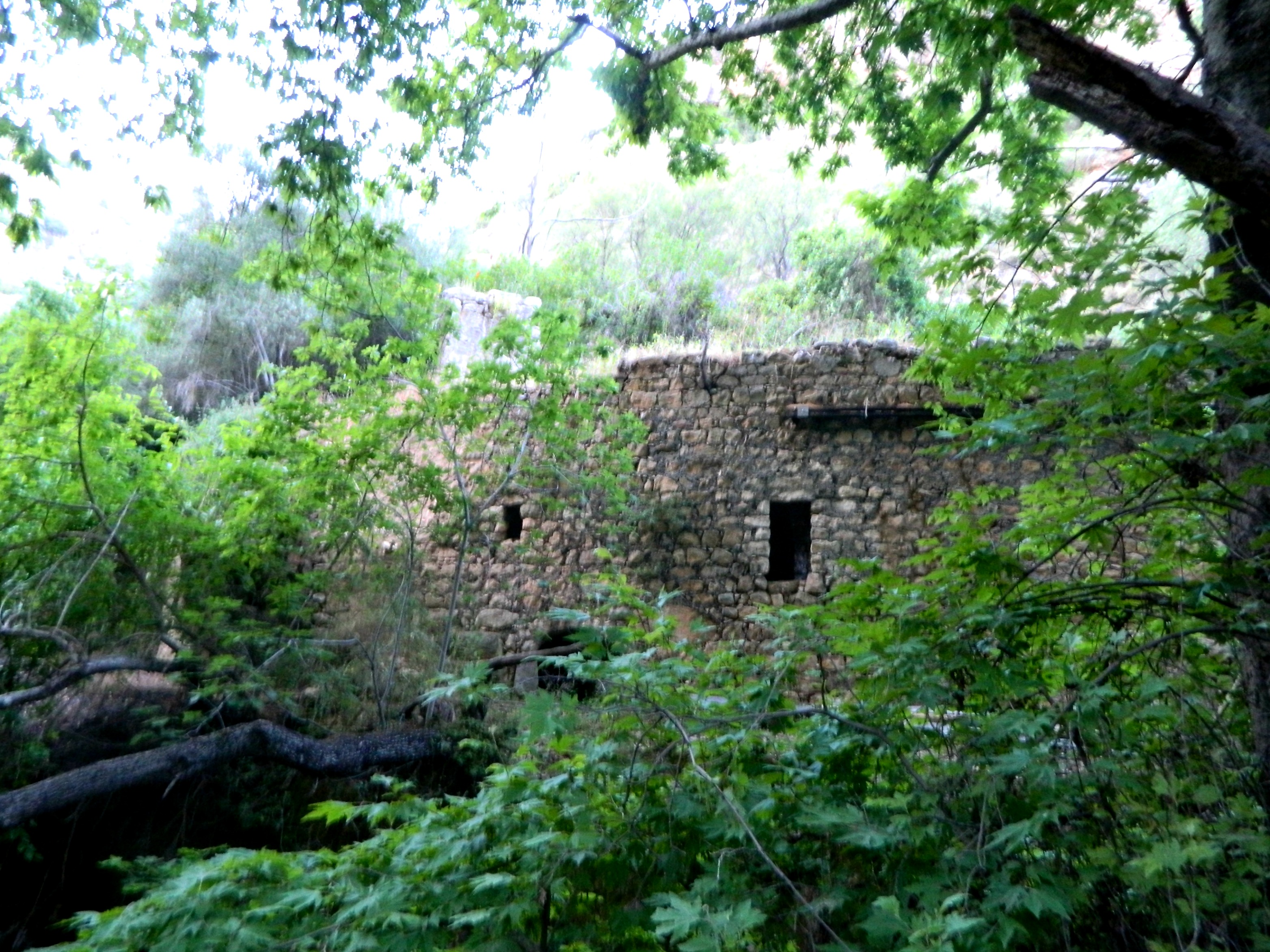
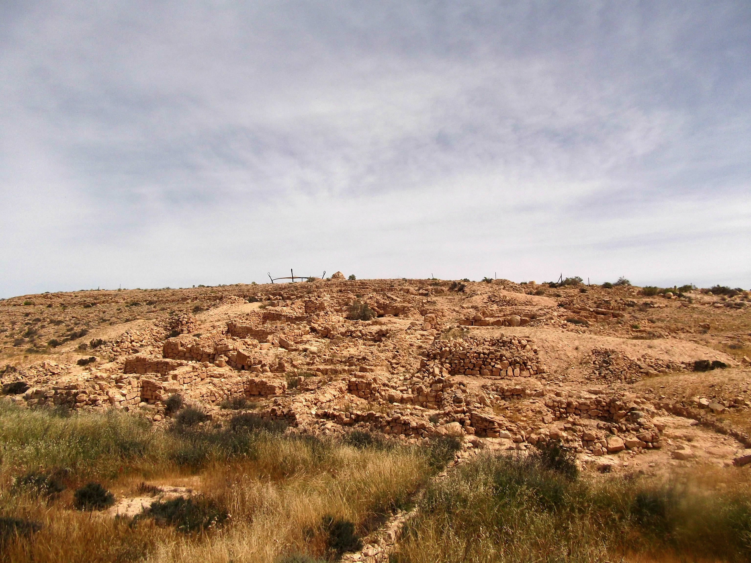
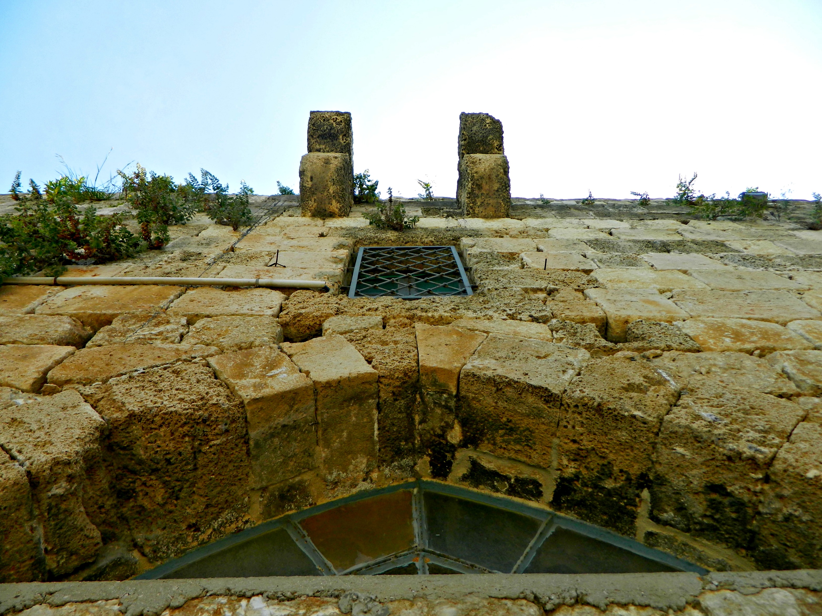
But then we came across another distraction, what looked like a Crusader-era inn or something. We crossed the stream, much deeper now, on a fallen log and entered the ruins, looking around.

Ruins across the stream
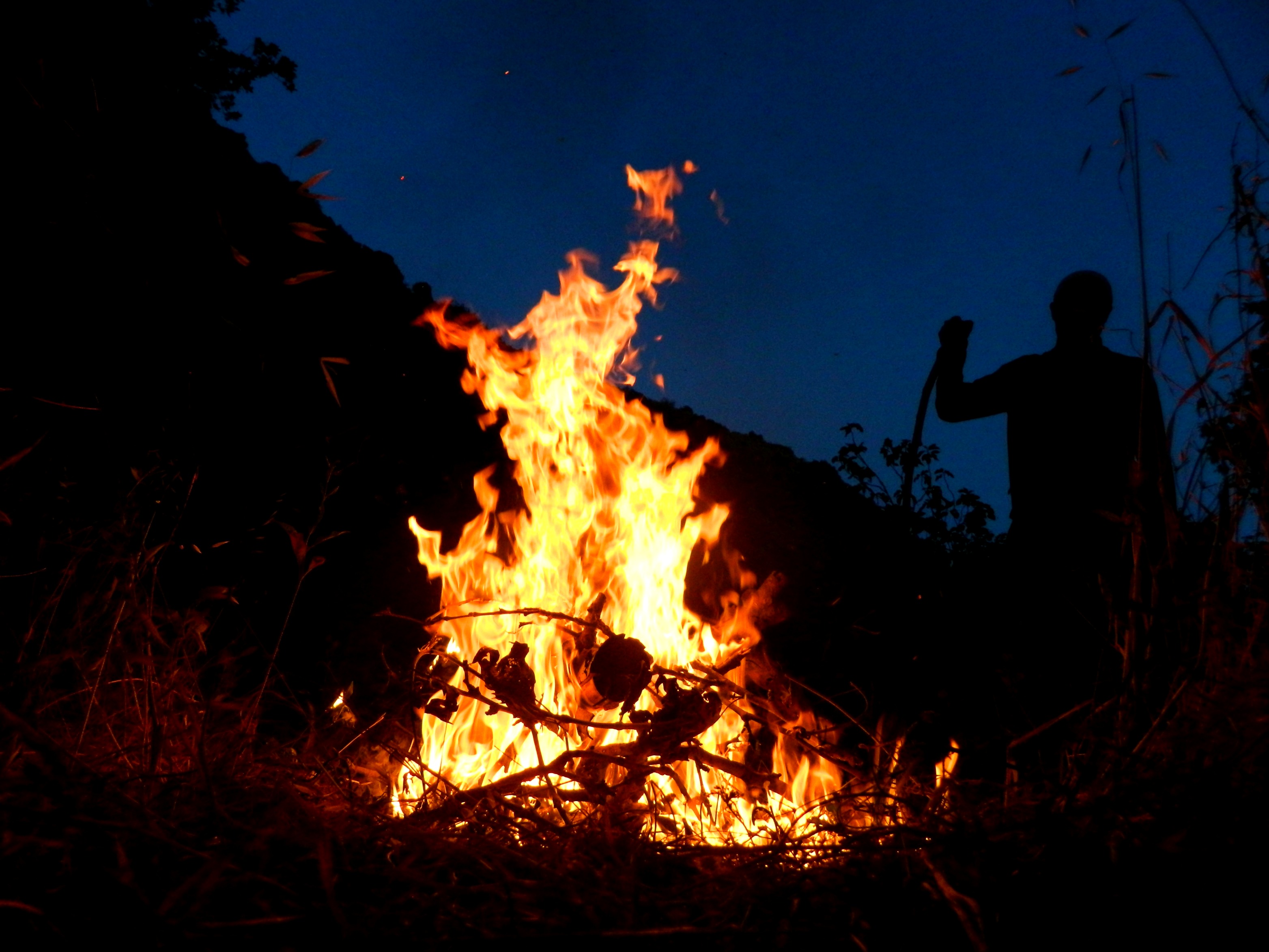
Up on the ruins’ roof, where grass had taken over, we admitted that we would never reach Meron before dark and the hike to Meron after dark would be too difficult. In efforts to salvage Lag B’Omer, my friends began a small fire and we watched the sky grow dark.

Impromptu bonfire
Some two hours later we extinguished the fire and resolved to make our way out of Nachal Amud, via the stream trail and then out towards the main road. And so we set off, using a light or two to guide us. I don’t recall ever doing such a night hike so it was definitely interesting, but I was a little nervous of running into wild boars. Even the jackals and wolves that come out of their hiding places at dusk to roam the land didn’t bother us as much as the thoughts of the wild boars. We found the trail and then came across some buildings – a series of Crusader-era mills, if I’m not mistaken.

A section of wall in the darkness of night
At this point I left my camera alone and grasped a penlight instead, aiding me in my attempt at sure-footing my way out of the wilderness. We left Nachal Amud and began to climb up the elevation of Nachal Sechvi, a dry streambed filled with huge white rocks. At one point we stopped and laid down on a huge flat table-top stone, relaxing. I suggested that we keep completely silent for a few minutes and that suggestion paid off. The chirps of the bats overhead, the rustling of the leaves to my right, the yelping of a jackal behind further upstream and then the frighteningly close grunting/panting to the left. It was then that Nechemya decided we should announce our presence. Continuing on upsteam, another funny thing happened: Nechemya, who was running point, whispered for us to stop and told us that there was something big up ahead. Confused and nervous, we grasped our sticks and proceeded cautiously but with making threatening noises. As we got close we saw that it was a tent and the poor inhabitants were probably more scared than we were. So, as we passed, I whispered “sorry guys, good night” hoping to help. At last, after a nice long uphill hike in the dark, we reached the road. We watched as convoys of police and buses passed by rapidly, nobody stopping for three sweaty hikers carrying big sticks at the side of the road in middle of the night. So we walked, and eventually made it back to Tzfat where we enjoyed pizza and beer before crashing. What an adventure…


