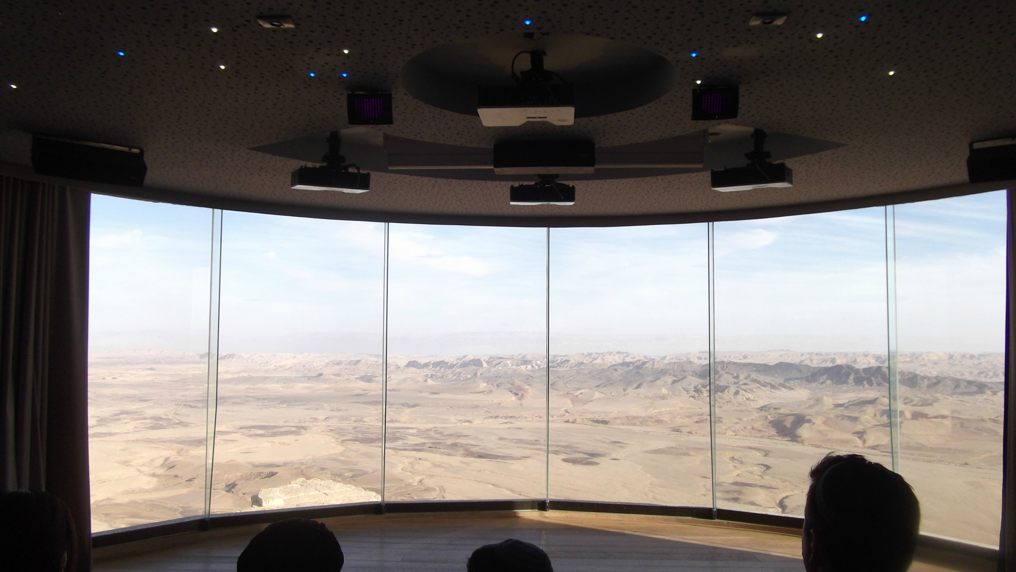
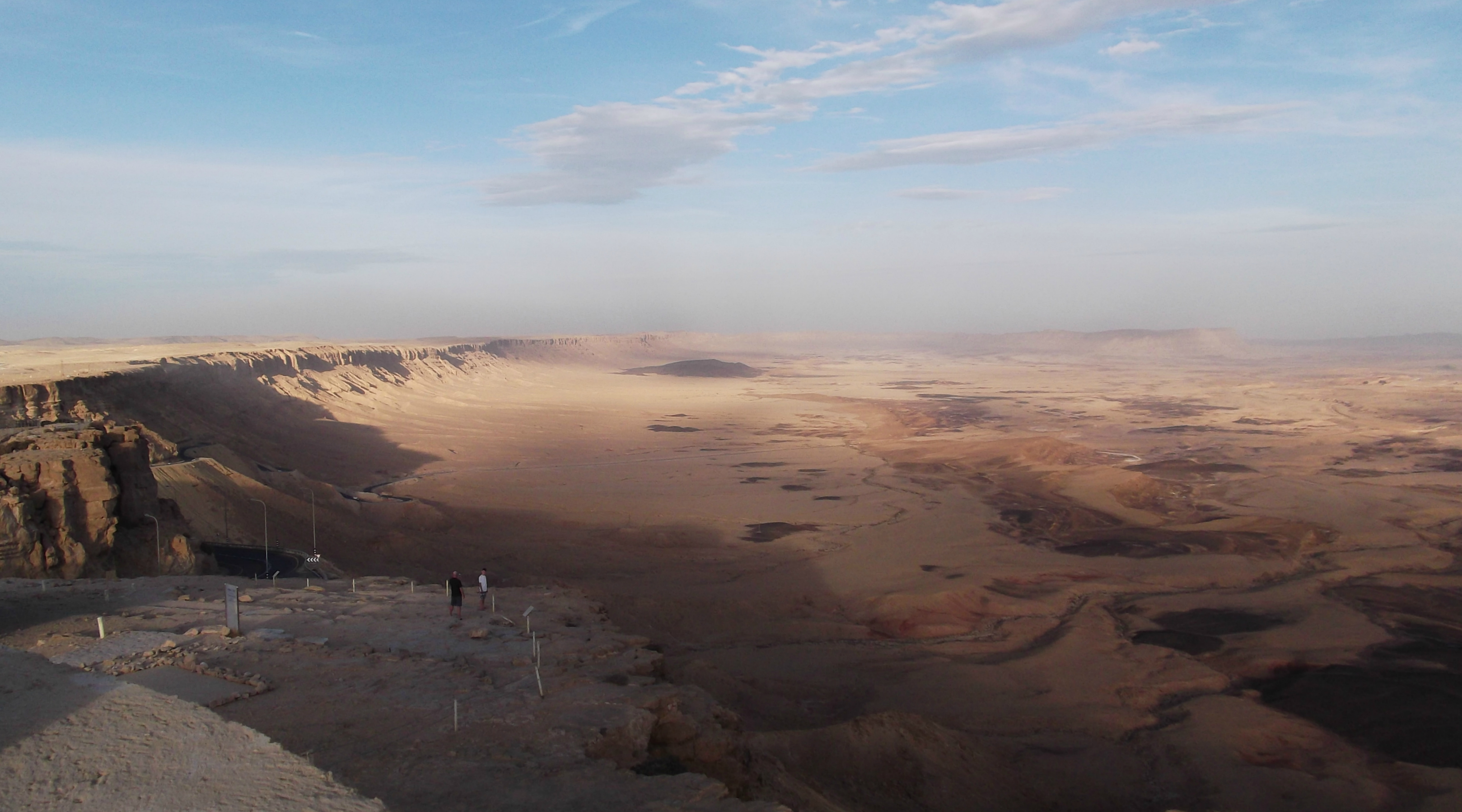
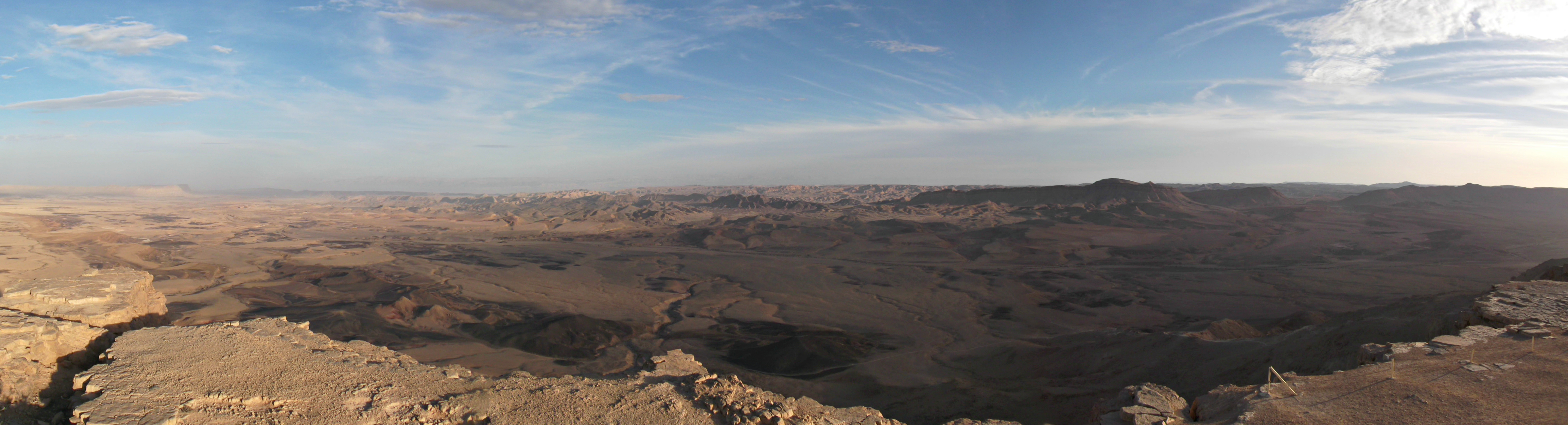
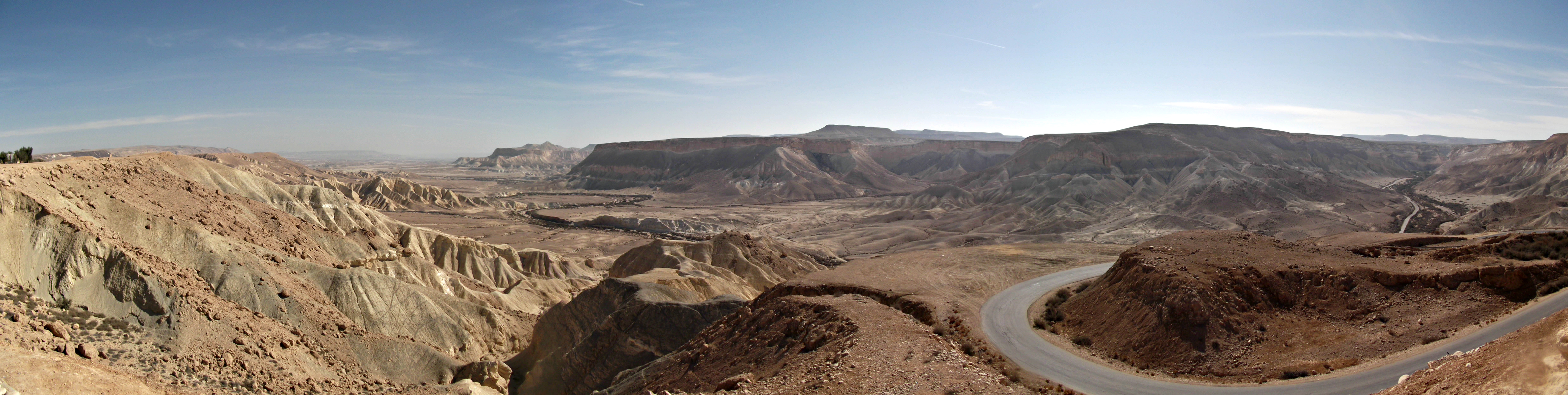
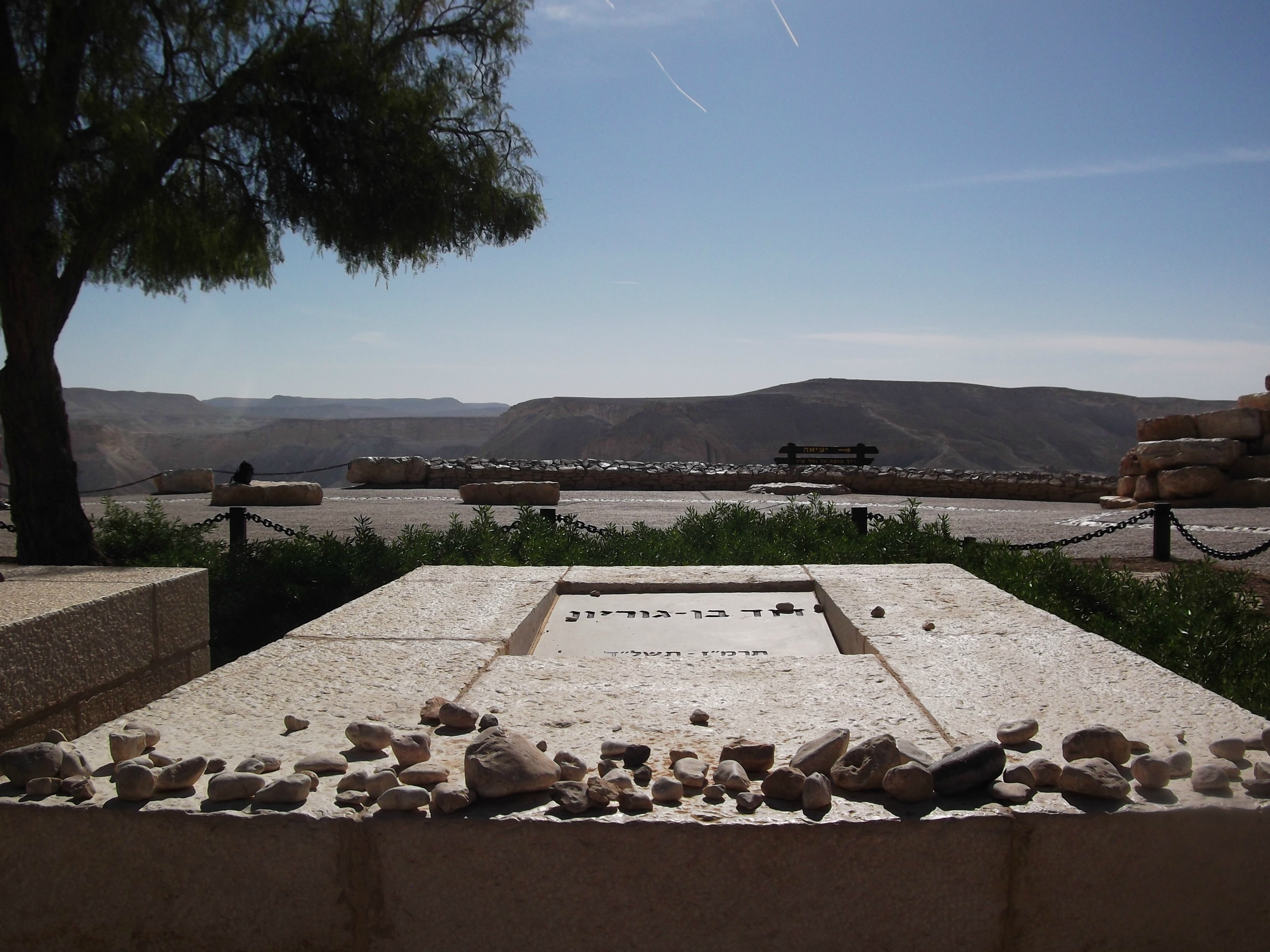
This blog post interrupts the three-part “desert adventure” (of which only Ben Gurion: Life and Death and Avdat have already been published, to date) to focus on an event which threw some of the country into shock and the media into a frenzy – the huge snowstorm that hit Jerusalem. We in Ma’alot got a little dabbling of snow over the weekend, but nothing like the two feet of snow the capital got. The snowstorm got so intense that the city was effectively shut down and isolated, the army (Homefront Command in particular) brought in and four people even died. Thousands if not more spent Shabbat without power and so, in the wake of the storm I did go, visiting “Jerusalem of White” to see it for myself.

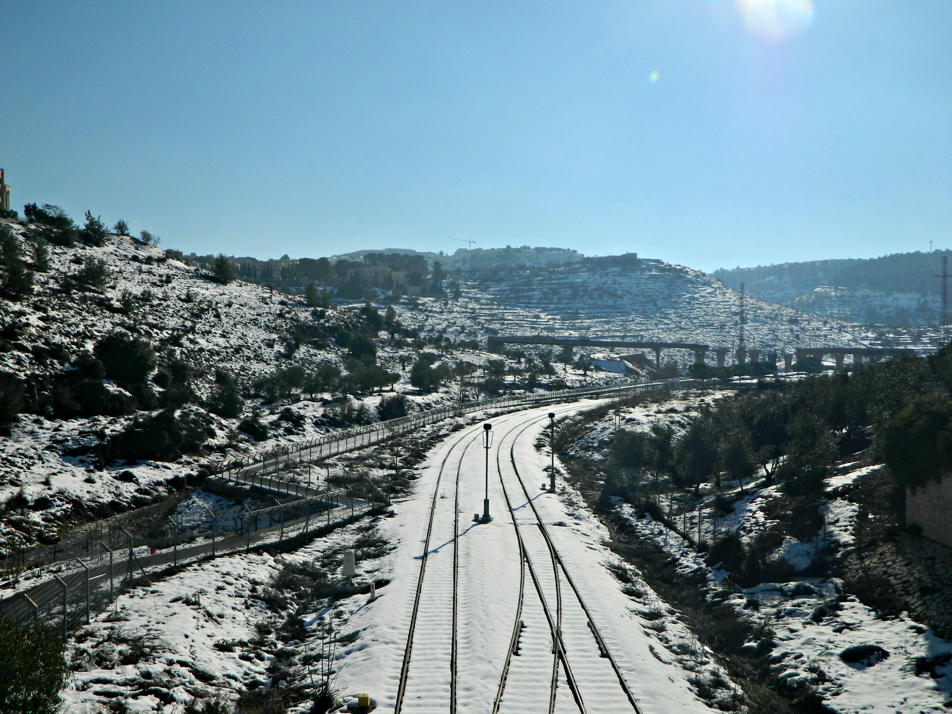
Snow-covered train tracks in Jerusalem
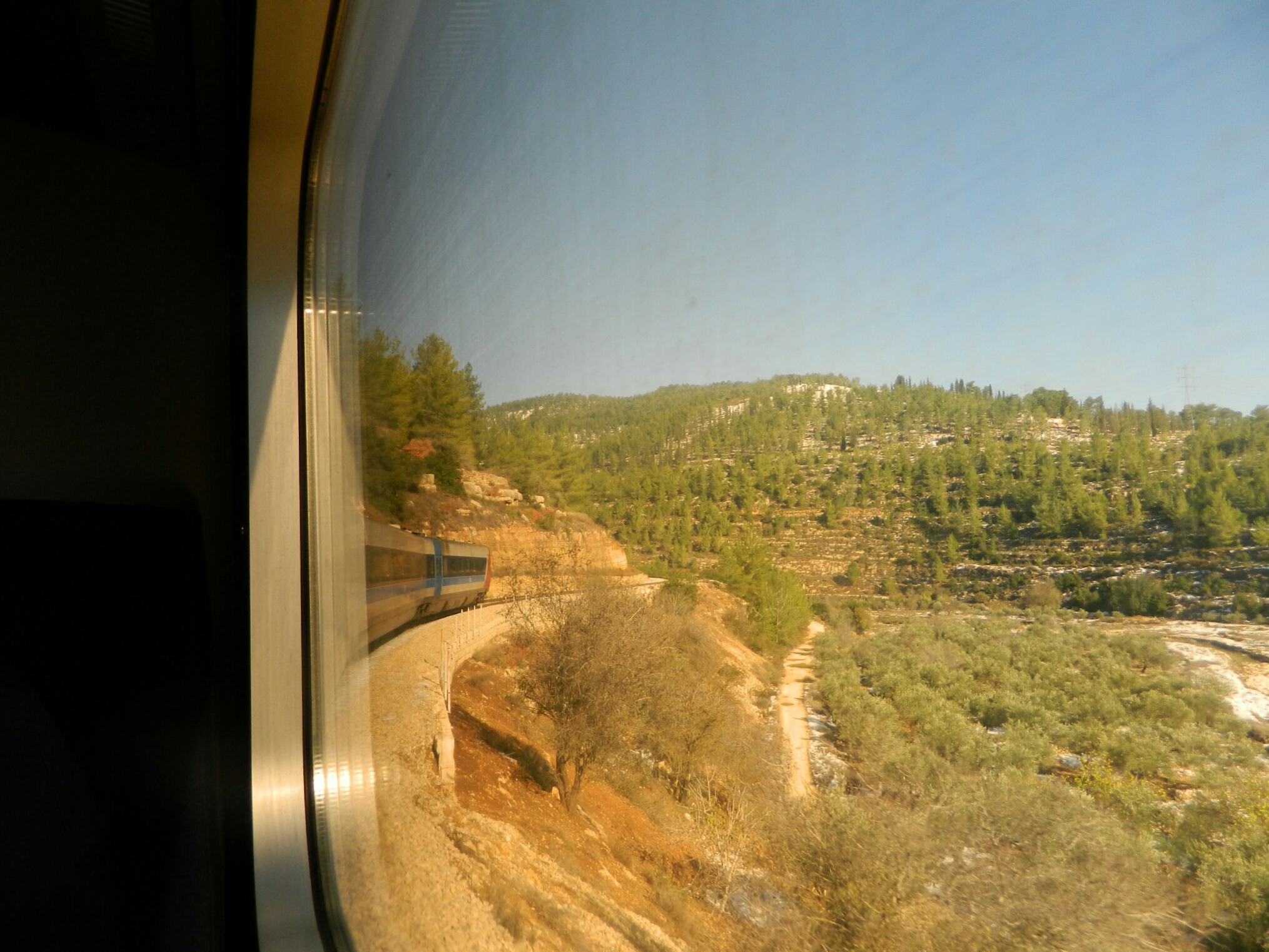
Part of a huge storm that hit the Middle East, the Golan and Upper Galilee region were hit with even more snow (those living in Tzfat had similar troubles to those in Jerusalem) but I was already headed down south on military business. I took the train from Tel Aviv to Jerusalem, hoping that the mountainous route would be spectacular but to my surprise there was almost no snow until we reached the Jerusalem Malcha station.

Approaching Jerusalem by train
Waiting around to see whether or not the buses were running, I was asked by an American fellow for bus help. Then an Oriental tourist. Then an Israeli family. Pretty soon I was surrounded by a clamoring mass of cold, stranded people all looking to me for salvation. I had to explain that I was not in capacity as “helpers” like those soldiers wearing reflective orange vests from Homefront Command, and that I had no idea about the buses. I then hightailed out of the area, taking the road to the Old City on foot.

Idle Egged buses
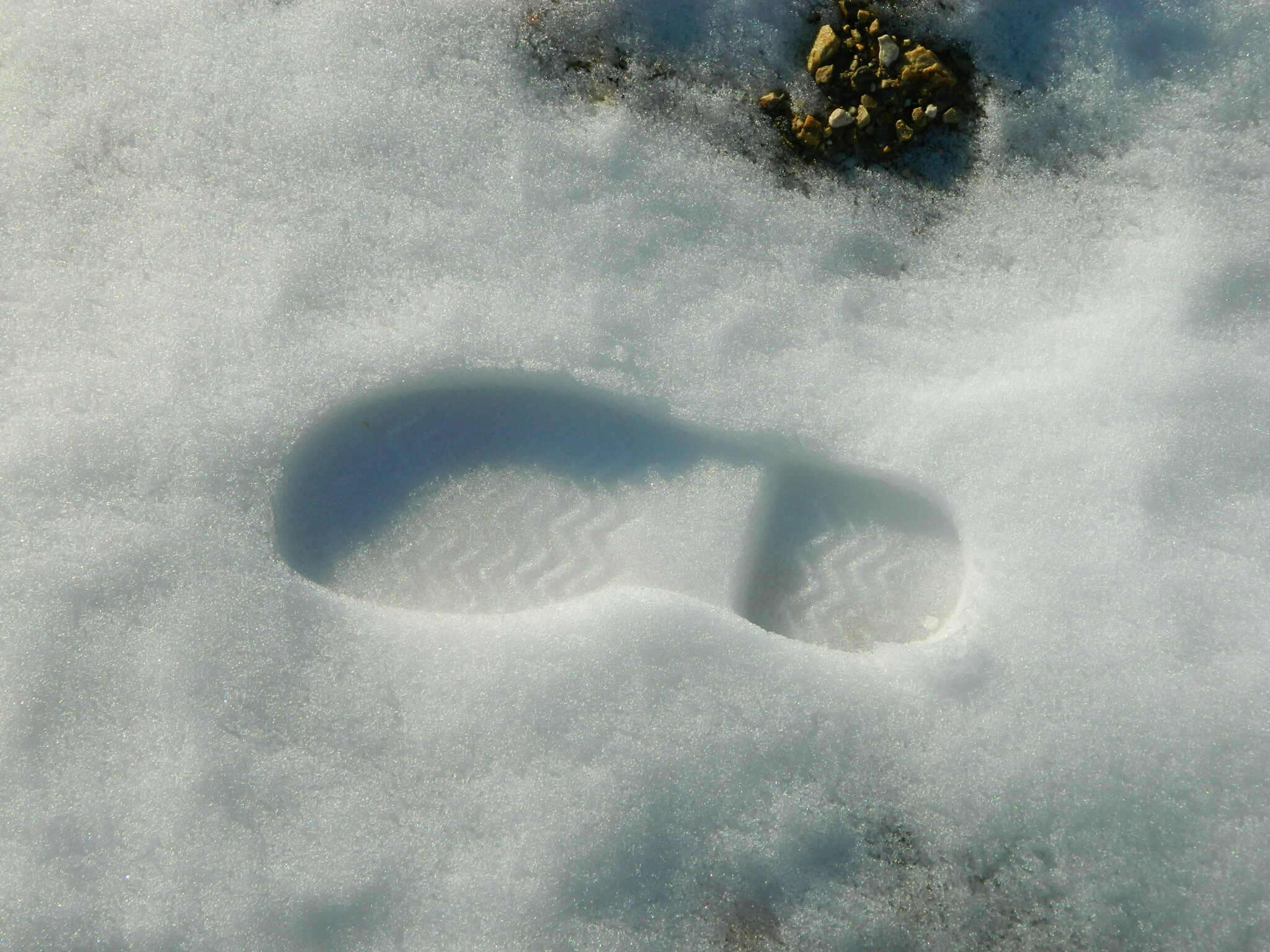
I noticed as I walked that the farther I penetrated the city, the deeper the snow got. I stopped along the side to mark my territory with a footprint – gotta love the feeling of untouched snow crunching underfoot.

Brill boot footprint
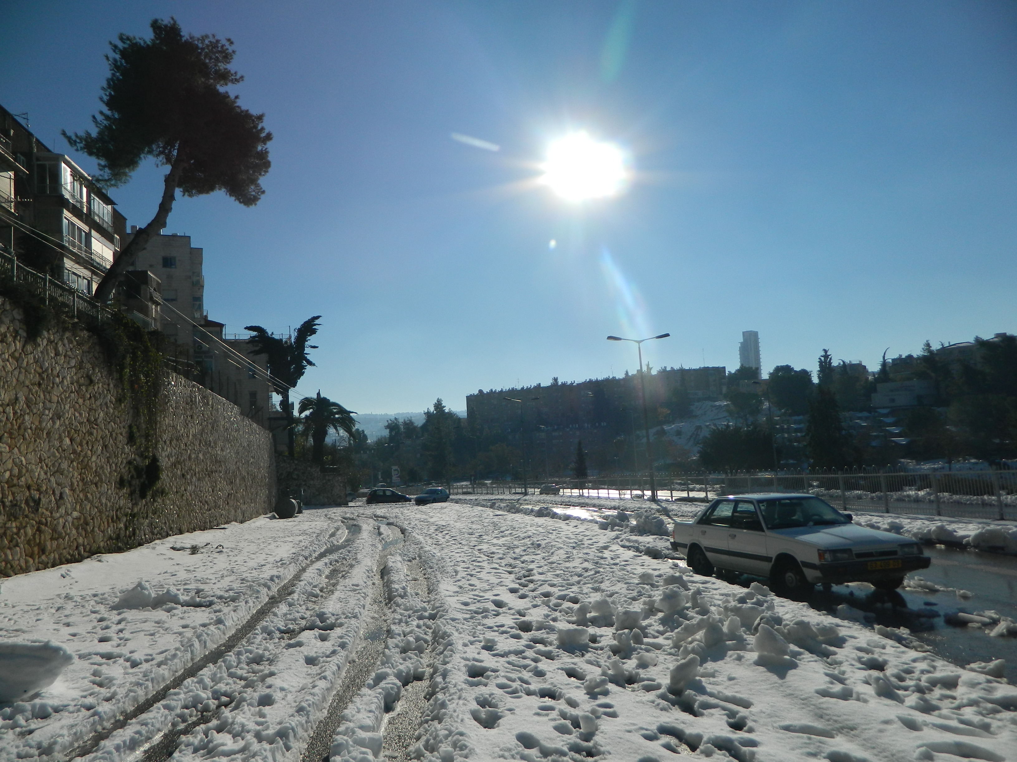
I entered into the residential areas, not seeing anything familiar save the big green signs pointing me in the direction of the Old City. At one point, slipping in the snow sliced apart by slushy tire tracks, I turned around and took some pictures.

Snow in the residential areas
As I walked I passed by people playing in the snow. Whether children lobbing hunks of snow at one another, or rebellious youth carefully sculpting a snowman, the snow brought smiles to so many faces.

Playing in Independence Park
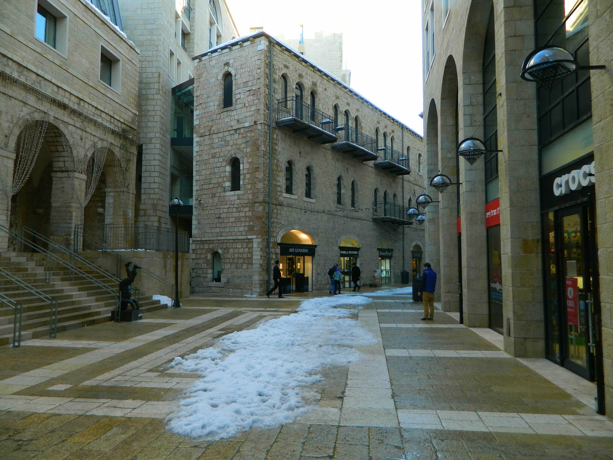
I got stopped by a US Consul guard who informed me that I wasn’t allowed to take pictures of their vehicles, their guard booths or their building. I explained to the cautious man that I was an American so it should be fine. We had a laugh and I found out he was stationed in the sister-base of mine down south, although in Givati (Infantry) Special Forces. With that I smiled, wished him a joyous guard shift and continued down the road to the Old City. Before long, I entered Mamilla Mall – from there it already feels like the Old City.

Mamilla Mall with some snow
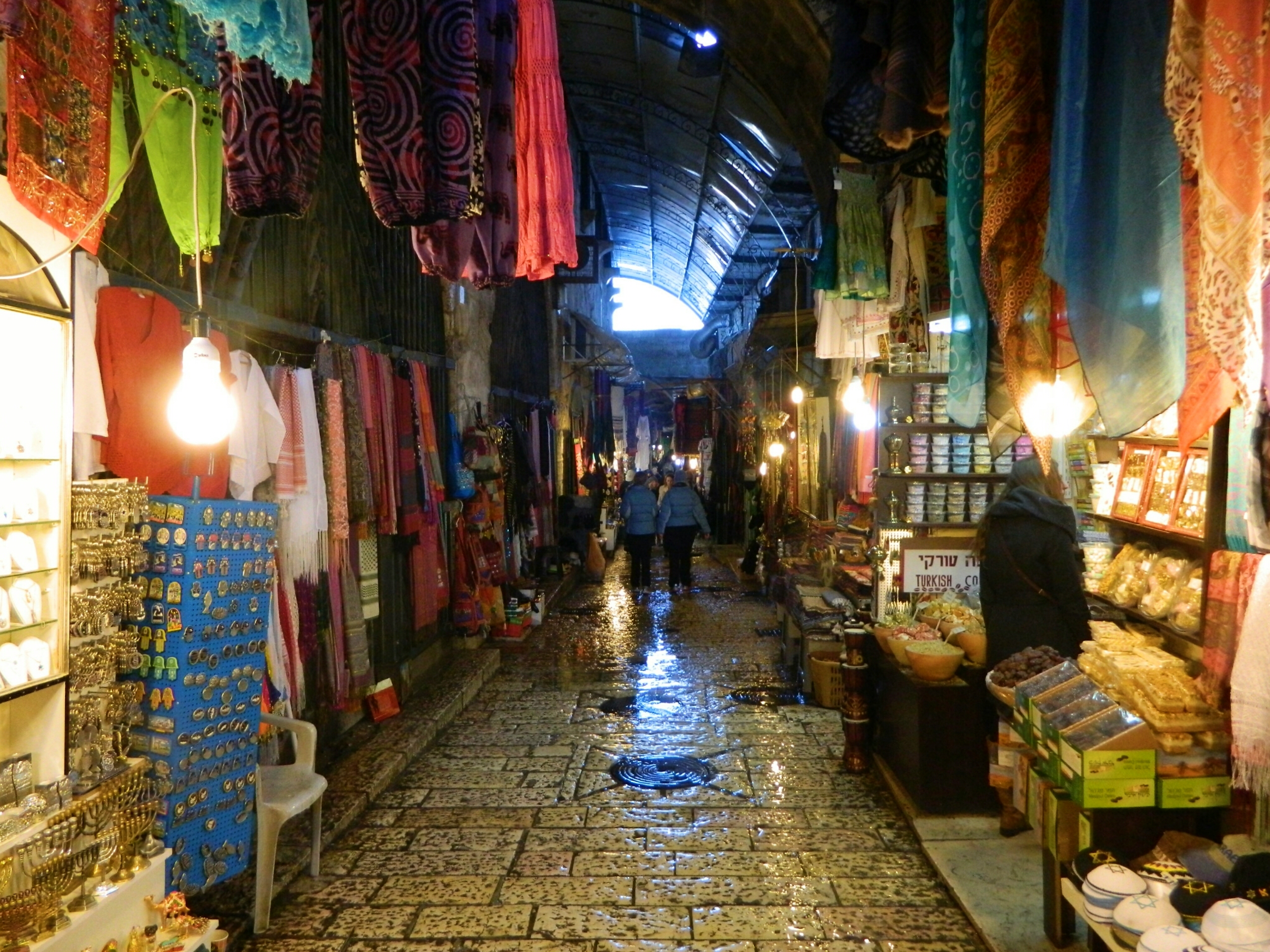
After slipping too many times to count in the snow/slush/ice I had a very close call in Mamilla, in front of a lot of people. Thankfully, I did not capsise and continued on to Jaffa Gate with honour intact. I entered the Old City and began the maze that leads to the Kotel (Western Wall). As I walked over the slippery wet stone floor in the narrow alleys and corridors, I realised how nice the endless Arab shuk (or shall I say, souk) looked with everything all gleaming from the melted snow – here’s what I saw:

Glistening Arab shuk
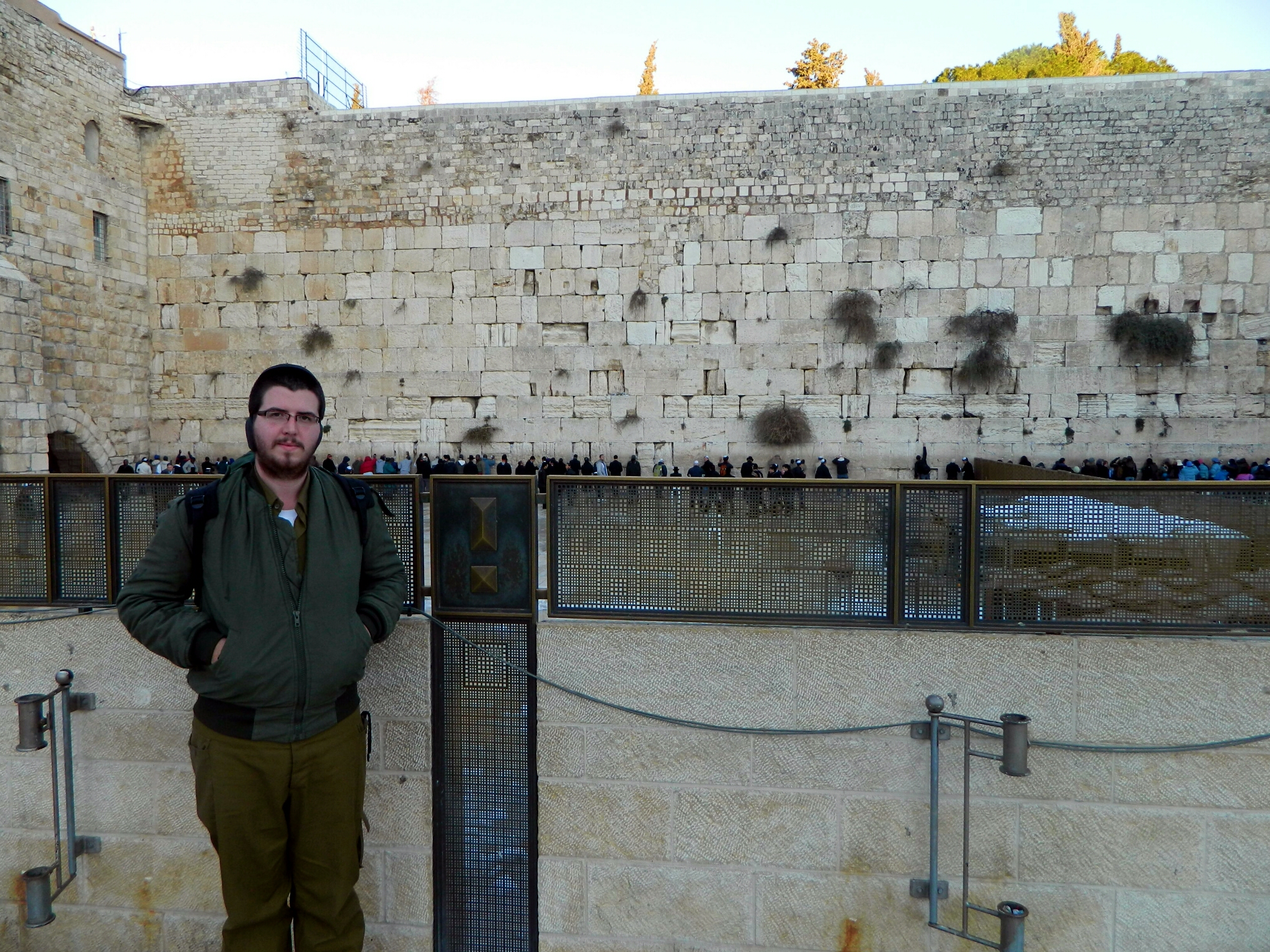
At last, after over seven kilometres (approx. four miles) of somewhat laborious walking, I reached the Kotel. There I relaxed, prayed and had some European guy take my picture. I was hoping to be able to see some snow in the photo but the local workers washed it all away with huge hoses (leading to another problem: ice).

Cold at the Kotel
Choosing this time to walk through the Jewish Quarter, I climbed up the stairs past groups of bundled-up tourists and stopped on a particularly icy landing to take this photo of the moon coming up over the mosque dome and minaret:

Moon over mosque
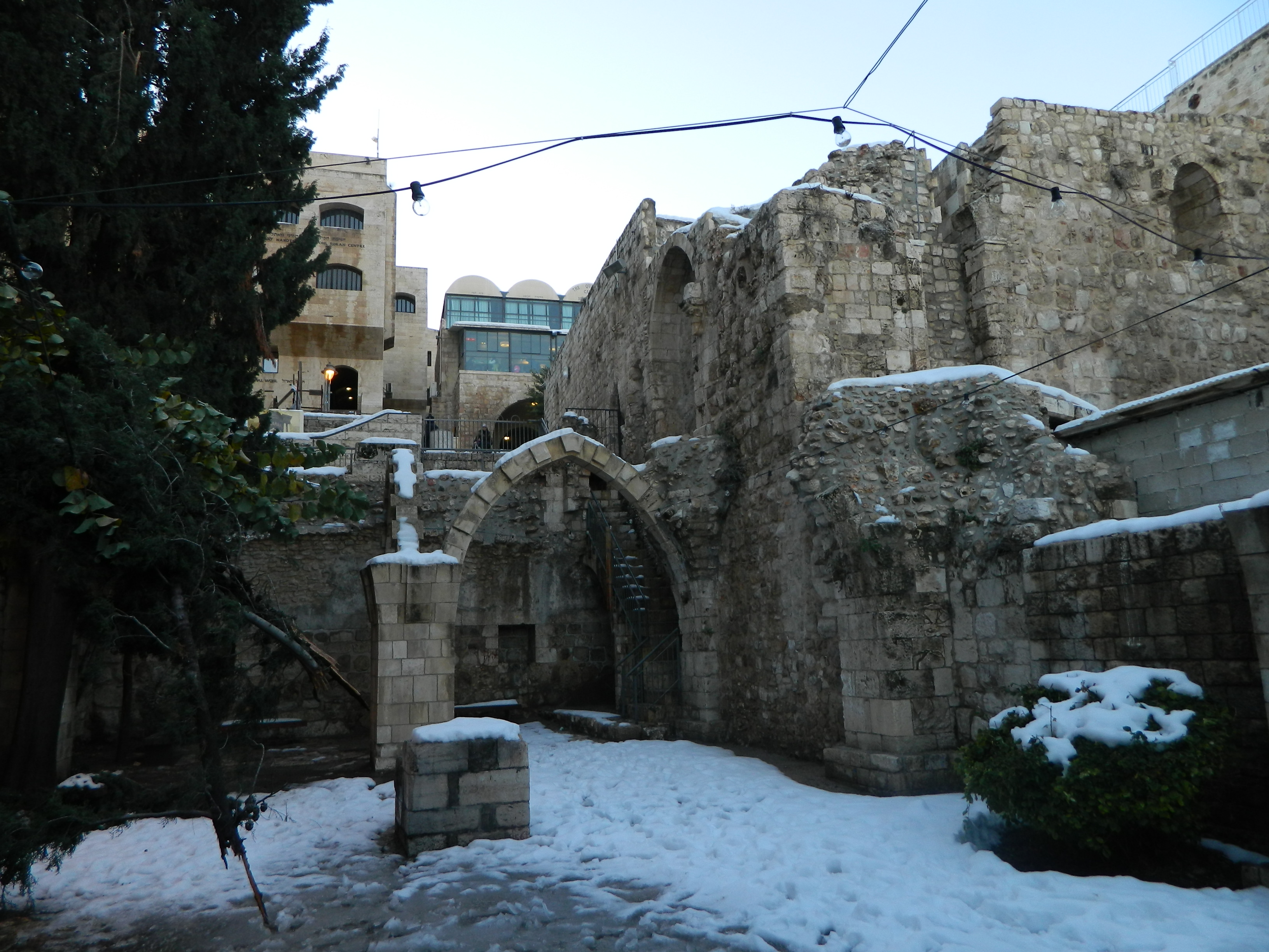
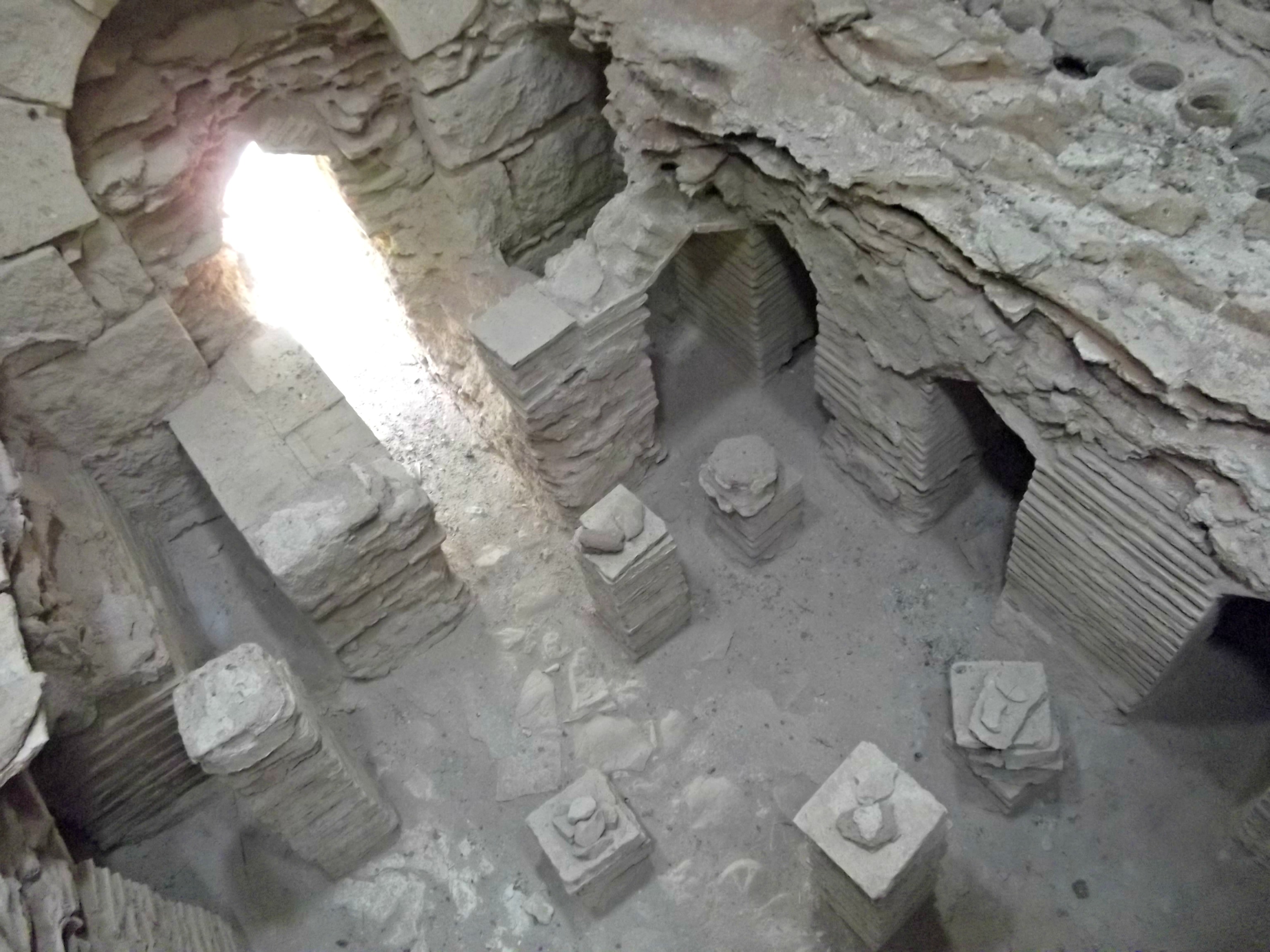
Moments later, I came upon something I was hoping I’d see, a chunk of old Jerusalem ruin covered with snow. The angles offered to shoot the arches weren’t promising but I tried to capture the setting the best I can:

Snow-covered ruins in the Old City
I stopped for a bite to eat as the sun went down and then continued on through the Jewish Quarter, walking down the narrow corridors to the Jaffa Gate (I still don’t really know my way around the Old City and that usually results in me blindly following people as they turn corners here and there all willy-nilly).

Narrow corridors at dusk
Once I’d exited the Jaffa Gate I seized the opportunity to photograph the last moments of light standing over the traffic on the bridge that connects Mamilla to the Old City.

Traffic and snow in the last minutes of light
I then turned northwest and headed up Jaffa street, following the tracks of the light rail – closed down due to the weather. It was a cool feeling strolling with all walks of life down the partially cleared street; there was a quiet in the air and little clouds kept coming out from each and every face.

Jaffa Street and an idling light rail train
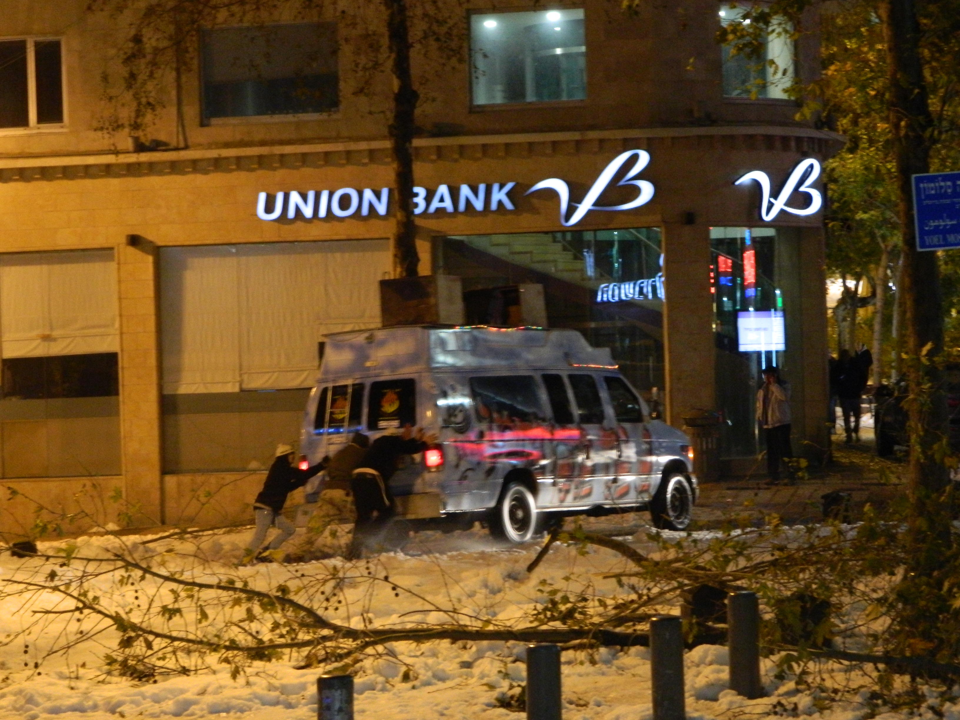
At one spot I noticed a commotion going on at the side. A Breslov “Na Nach” van had gotten stuck in the snow (or something) and they had to push it free – if only they would have worked to music, like they always play.

Breslov ”Na Nachs” having car trouble
After walking some four kilometres (2.5 miles) from the Kotel to the Central Bus Station, I reached the third floor where the 480 bus to Tel Aviv departs from, to hear an announcement that due to the weather and police advice all intercity buses have been canceled. That left me with just the train, which is in the far southwest corner of the city. With no energy to walk that, especially after already walking eleven kilometres (seven miles) that day in Jerusalem alone, I kinda lingered around waiting for a local bus that headed that way. Cold and tired I waited… and waited. At last I found a bus that eventually reached near the train station. I hopped aboard, found a seat and had an interesting conversation with some local youth. An hour later I was in the train station and 8.5 hours after my return trip began I was home. What a trip!