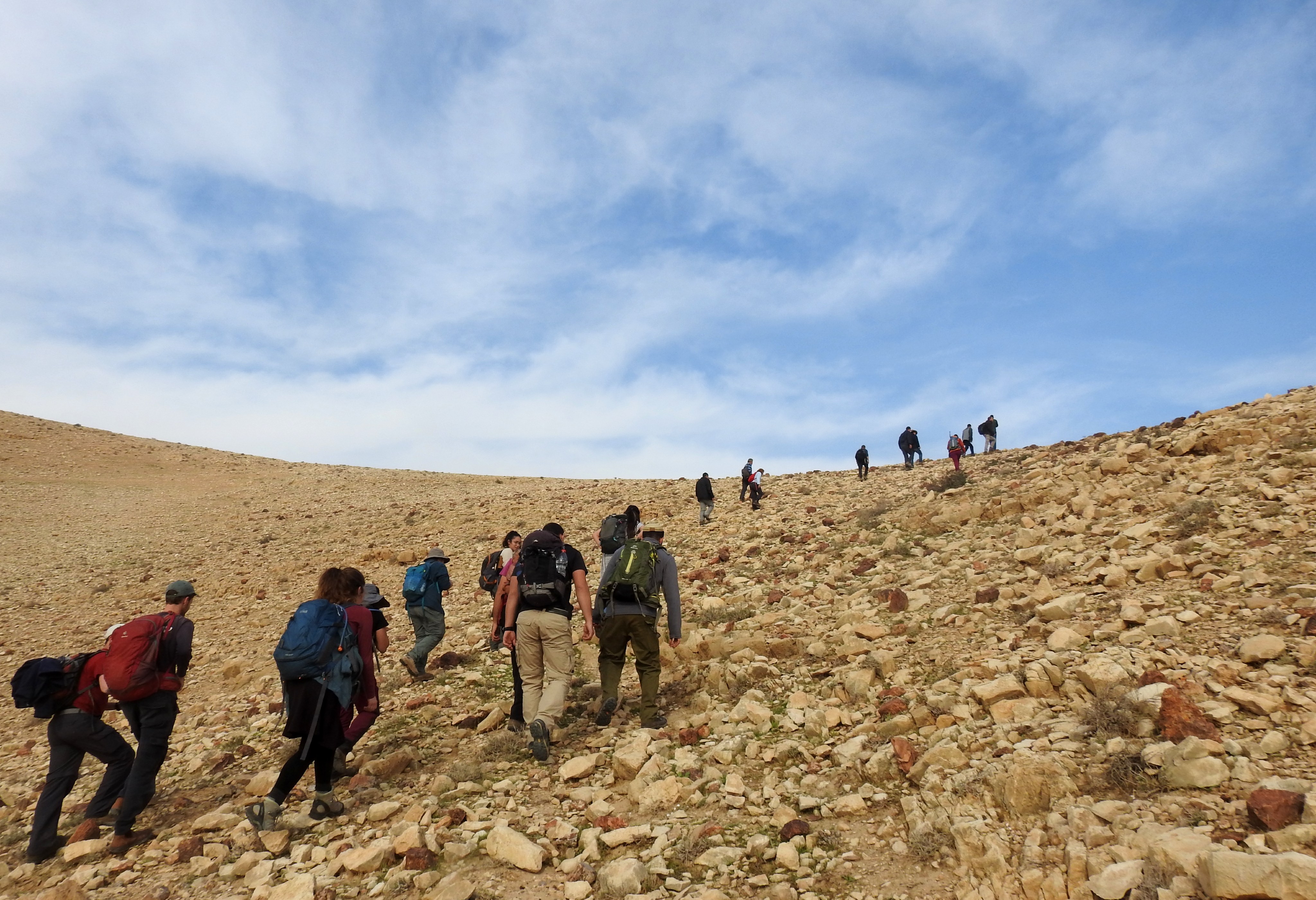
Taking a hiatus from a string of BIU field trips, the day after my trip to Doq and the Good Samaritan Museum I went on a nice little adventure with Adam Ota to the relatively nearby Shoham Park. It was the very beginning of January and a fair amount of rain had fallen as of late, resulting in renewed growth throughout the country. The seam between the coastal plains and the Shomron was no different, and we found ourselves getting off our bus at Nablat Junction with intentions to explore as far north as we had time for.

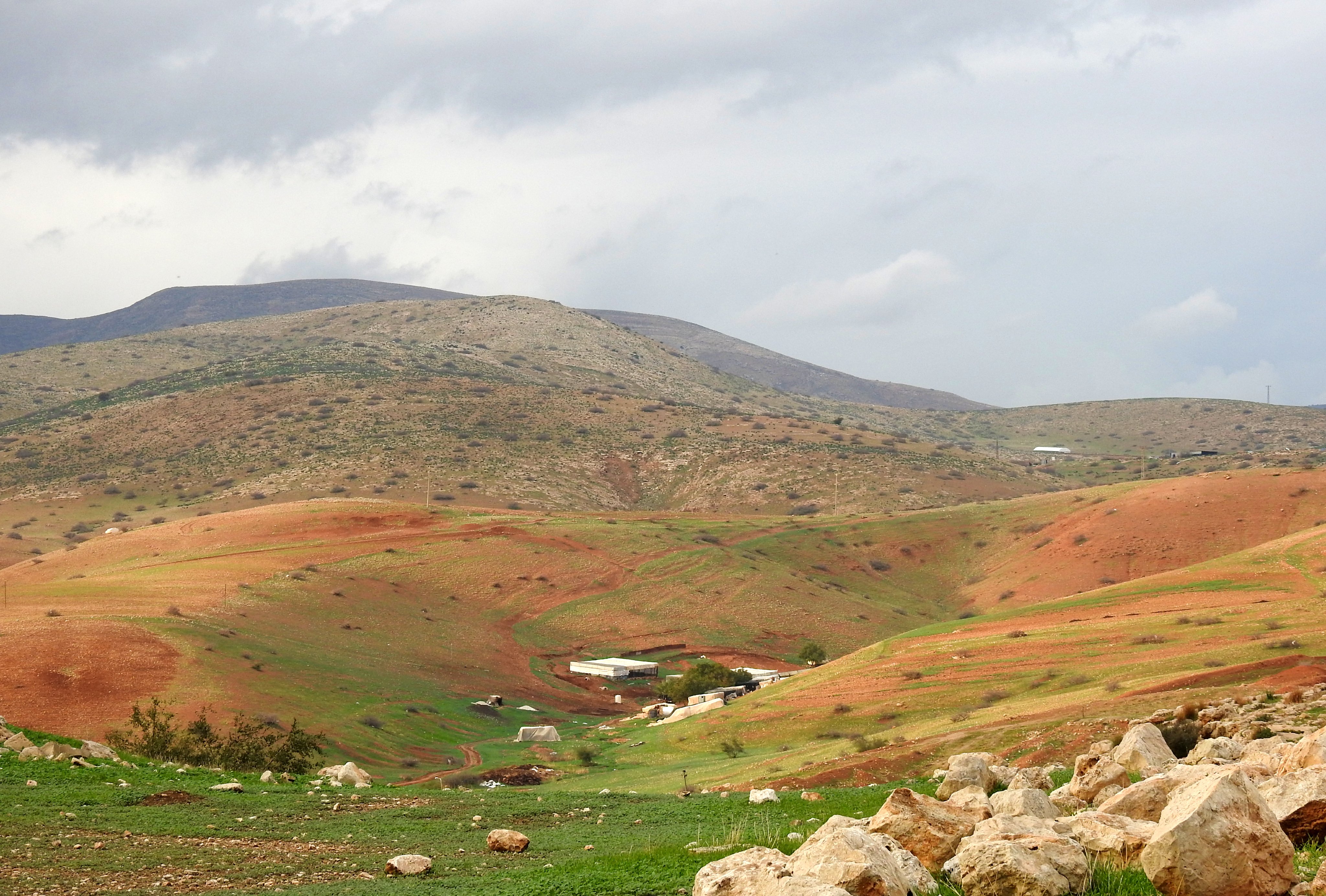
Looking down at the field beside Nachal Beit Arif (photo Adam Ota)
Once we had successfully navigated the busy roads and entered the so-called natural land just north of Nachal Beit Arif, we were amazed at how lush and green everything was. There was a cool crispness in the air as we slowly made our way up the cactus-dotted hill, having passed through a defunct military shooting range where we chanced upon our first of many wild asparagus shoots of the day.

In pursuit of wild asparagus shoots
The vibrant green around us was complemented by dying leaves in multiple shades of orange, yellow and lavender blossoms, and of course the rich brown mud. We followed the marked trail up the hill, merging onto the Israel National Trail and seeing a nice amount of chaffinches and meadow pipits along with the flora. Adam paused here and there to look for stick insects, something that has eluded him for a great number of years here.
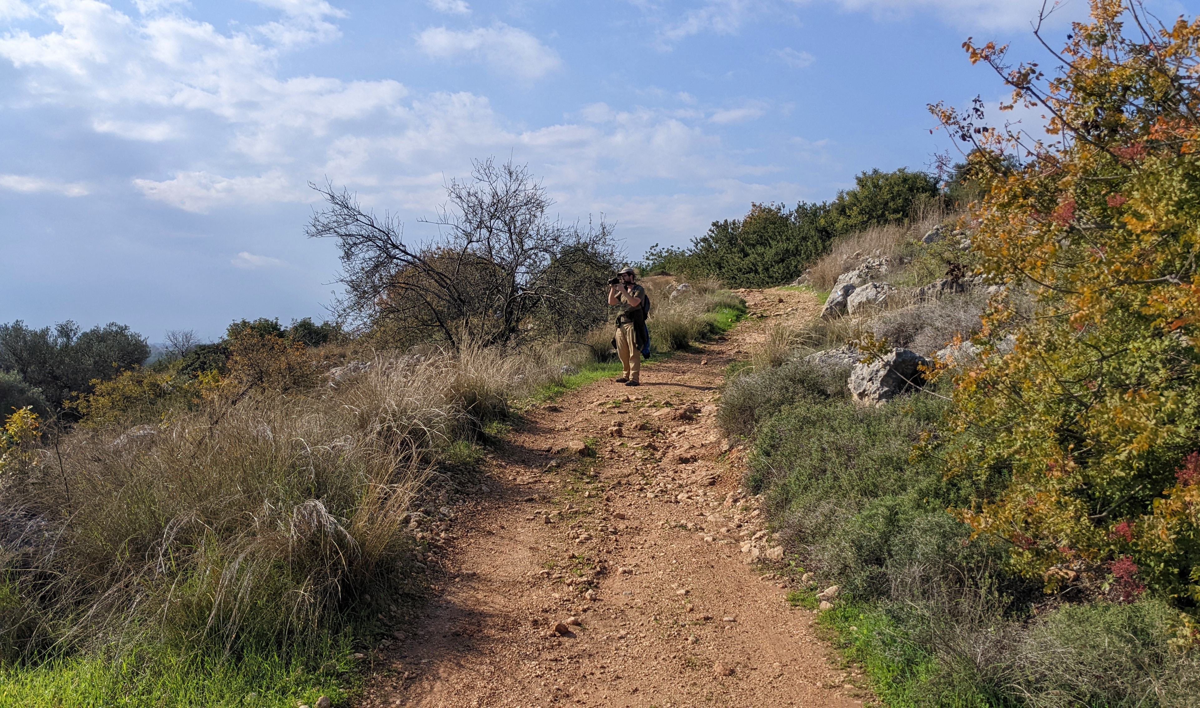
Photographing the lush nature (photo Adam Ota)
We spotted some tiny caves among the hewn bedrock, but nothing of any particular interest, except for copious amounts of wild asparagus. It wasn’t until we reached the top of the hill that we saw something of note. Carved into the bedroom were a series of cup marks and larger indentations. According to the sign there, this was part of a cultic site where a small idol was placed and then tiny sacrifices were offered in these tiny hewn cups. The larger depressions served as mortars for grinding the sacrifice prior to offering. There also seemed to be a small olive oil press similarly hewn into the bedrock, perhaps related to the cultic affairs.

Cultic cupmarks from a time long past
Heading down the northern slope, we left the rocky garrigue habitat and entered a small pine tree forest. In a clearing, we found a much larger agricultural installation – this time a winepress, also hewn into the grey bedrock. It was full of water after the rains, and no matter how much Adam peered into the murky depths, he couldn’t find any interesting lifeforms.

Peering into the watery winepress
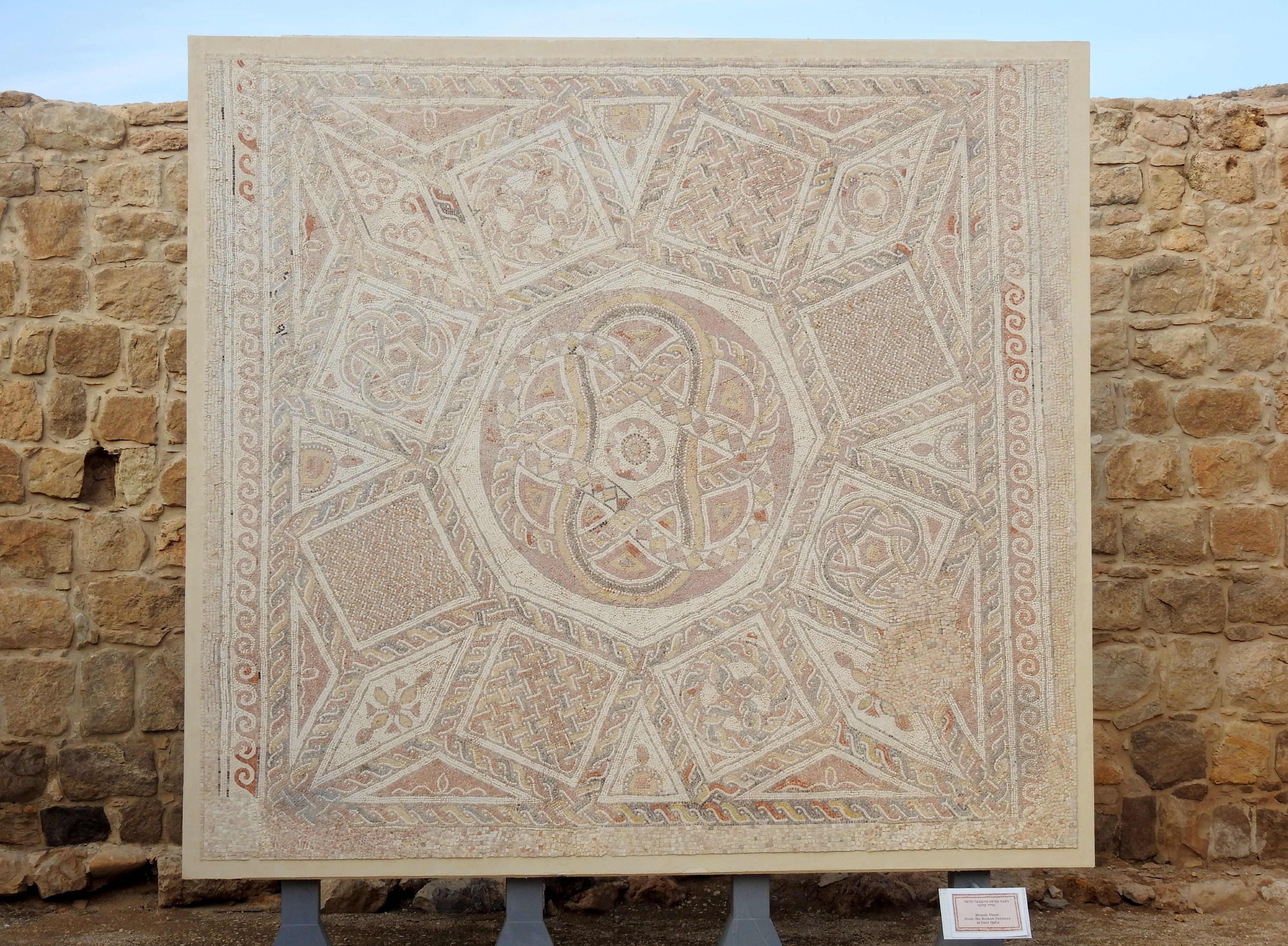
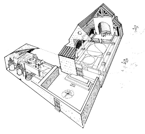
Right beyond the winepress was the remains of an ancient lime kiln, hardly recognisable in its current state of affairs. But it was the next site in the clearing that really excited me – the ornate ruins of the Church of St Bacchus with its stunning mosaic floor. Built sometime in the 400s CE, during the Byzantine period, the church was only discovered in 1986, and later excavated in 1995. It was then that the mosaic floor, with an inscription dedicating it to St Bacchus (who was quite popular during that era), was revealed and restored.

The Church of St Bacchus
Built outside of the settlement confines, this is what is known as a field church – see an artistic reconstruction HERE. During the course of the excavations, a small broken marble medallion of goddess Tyche/Fortuna was found. According to the inscription encircling the figure, the medallion dates to the year 582-3 CE, during the reign of Byzantine emperors Tiberius II Constantine or Maurice.

Remains of the olive oil press beside the field church
Adjacent to the church is a large olive oil press, with some of its sections also featuring a modest mosaic floor. Just beyond the press is a large rock-cut pool which was used to store water, after having served as an on-site quarry for the construction projects there. All of these ruins, predominantly harkening back to the Byzantine period, are all affiliated with the nearby Horvat Tinshemet (or Khirbet Sheikh ‘Ali Malikina) which has been identified as Betomelgezis, a site that appears on the famous Madaba Map.

What appears to be part of Horvat Tinshemet
As we progressed to the vicinity of Horvat Tinshemet, we realised that this site – having never been excavated before – did not have much to look at, at surface value, of course. We found a series of low stone walls and what looks like a cairn of sorts, but nothing distinctly archaeological other than a few surface potsherds. Regardless, we enjoyed poking about in the company of some warblers and chaffinches, and a handful of flustered chukars.
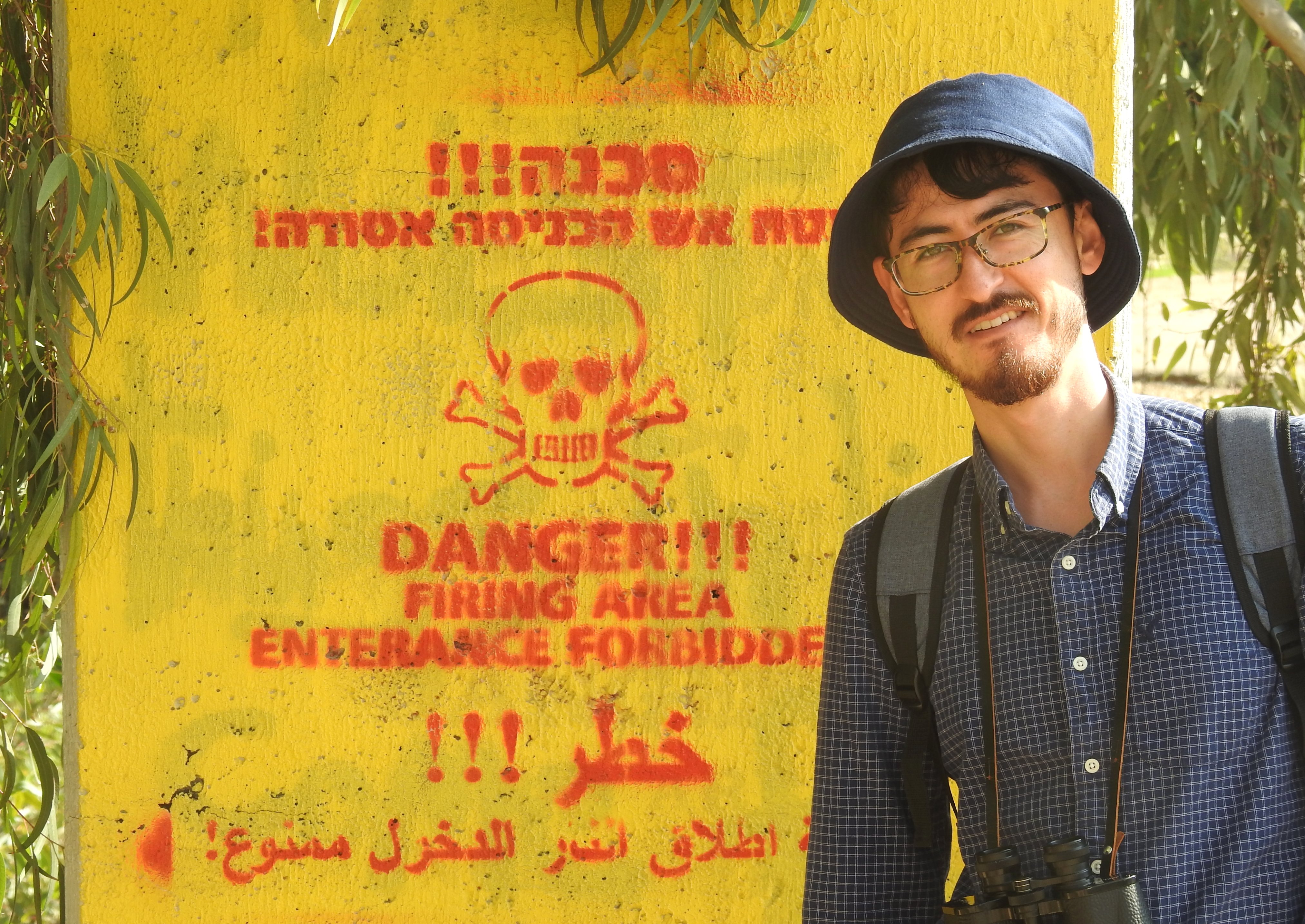
Avoiding the forbidden zone
From there our next destination was the Bareket vernal pool, which was located on the far side of the Shoham industrial park that was sprawled out before us. Instead of simply walking down the convenient paved road, we decided to go the route less traveled and climbed up a steep hill to circumnavigate from the eastern side. It was a steep walk and required a short break at the peak, which allowed us to appreciate the views that we had of both the ongoing construction and Road 6 that was behind us.

Looking back from whence we came
Heading back down the northern slope, we found an unusual little orchard and then an insurmountable construction site which made us take the paved road afterall. Looping around, we found the Bareket vernal pool looking rather neglected, yet brimming with water and tiny lifeforms. Adam immediately squatted at the water’s edge, trying to find some interesting waterbugs – and, of course, triops.

The Bareket vernal pool
The Bareket vernal pool is the result of ancient quarrying, similar to what we had seen throughout the day, forming a nice body of water quite like a swimming pool with the hewn steps. Despite the searches, it was simply too early in the rainy season to find anything too interesting and we were consigned to just enjoying the deep pool for what it was.

Using the hewn steps to get closer to the water
There are a number of interesting sites located just north of the vernal pool, but it was getting a wee bit late and we were tired from the long hike, so we called it a day. We had successfully explored most of what Shoham Park has to offer, and each of us had a bountiful wild asparagus harvest – perhaps the best we’d ever had. The rest of the attractions will simply wait for another day, whenever that may be.


